Oh dear, it is as I feared, there’s not so much to talk about.
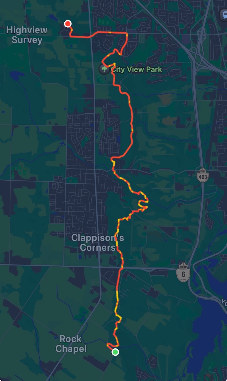
Start: Royal Botanical Gardens Rock Chapel Sanctuary
End: Springer Cres.
Distance: 21.1km
Weather: 25C and sunny
I had to pay $15 to park this time. Combined with the fuel to drive there/back (91 octane), plus the Uber trip to the start point, this is turning into a bit of an expensive hobby.
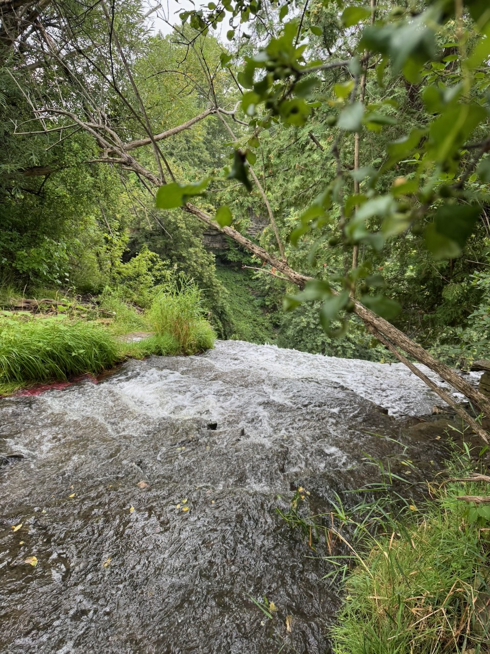
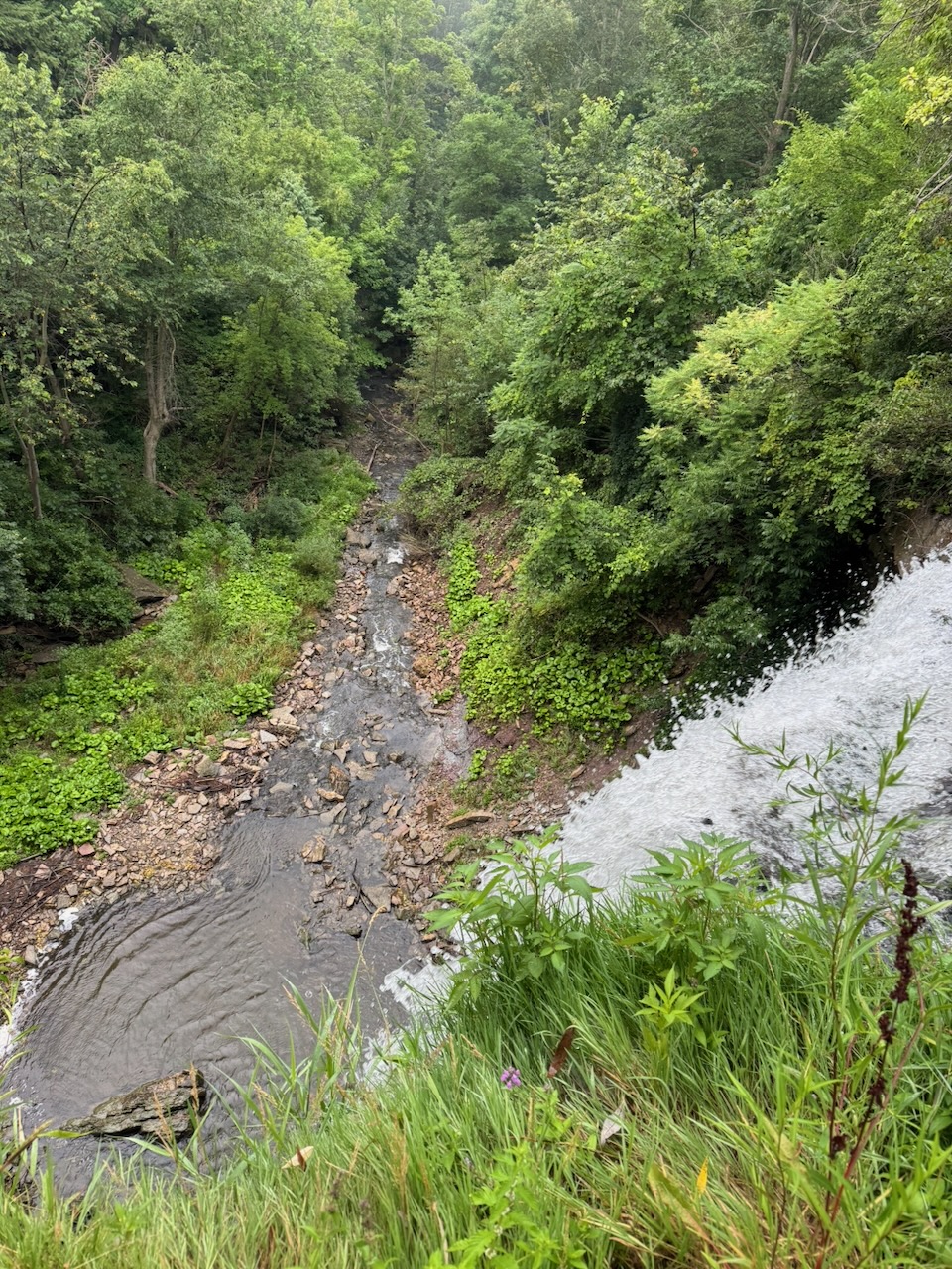
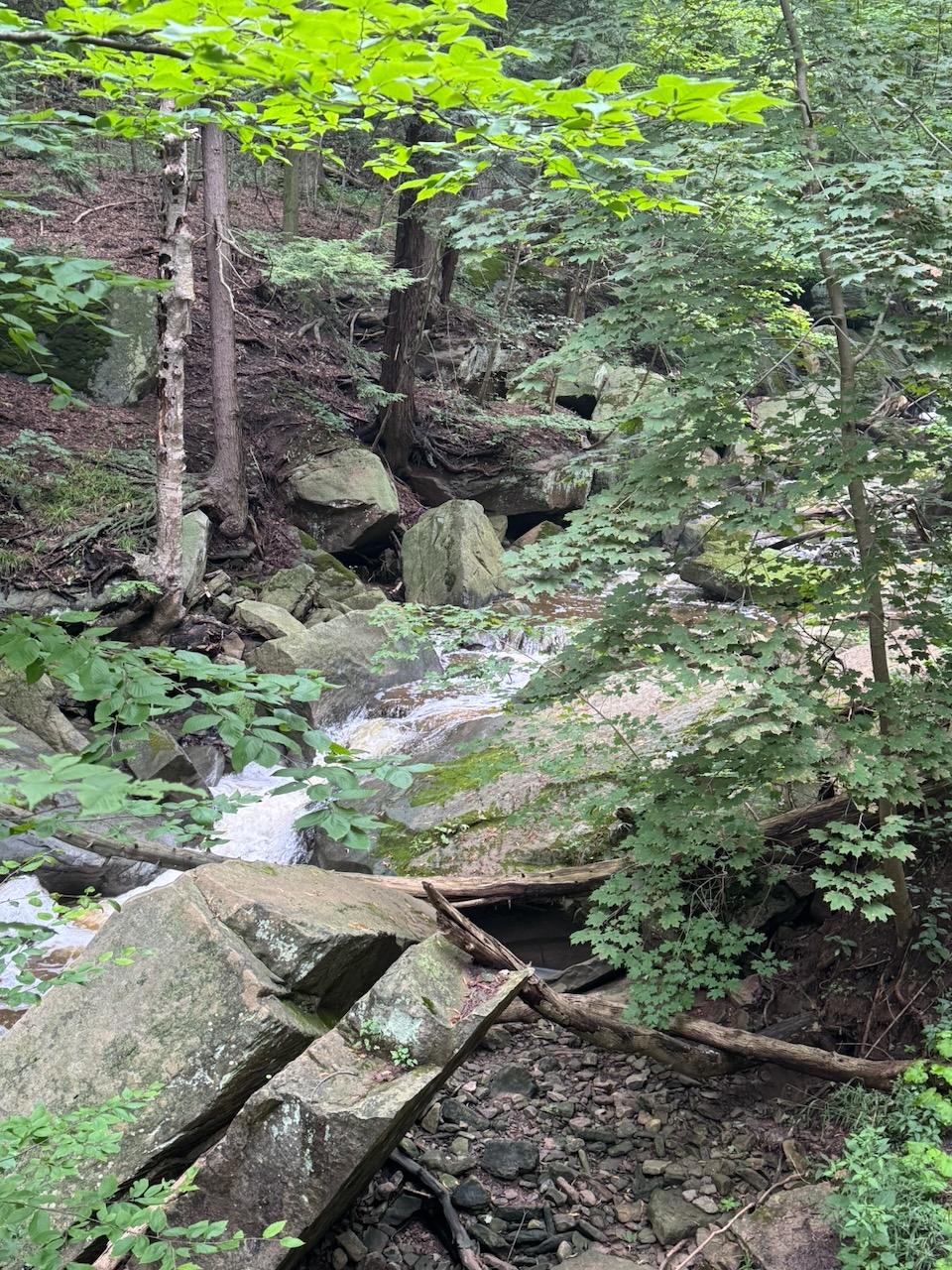
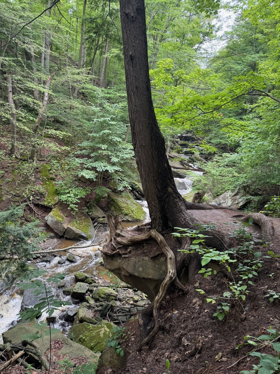
Borer’s Falls was immediately to the east of my start point and was lovely.
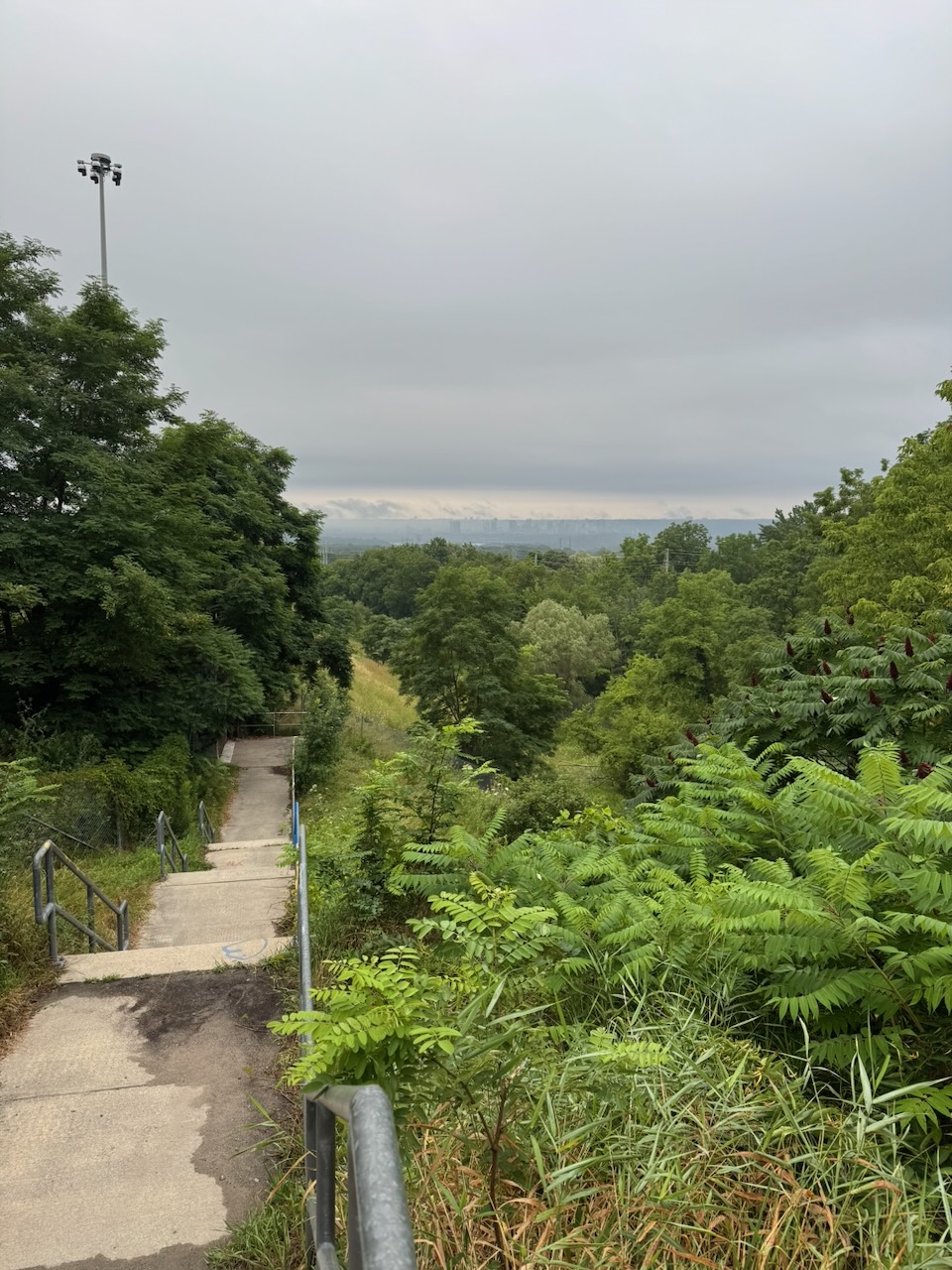
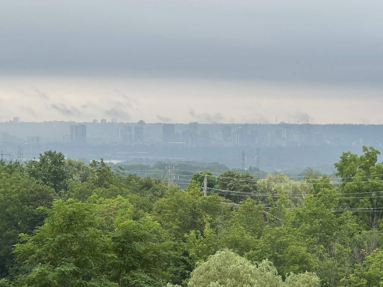
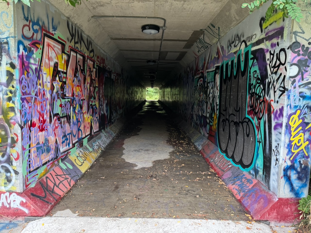
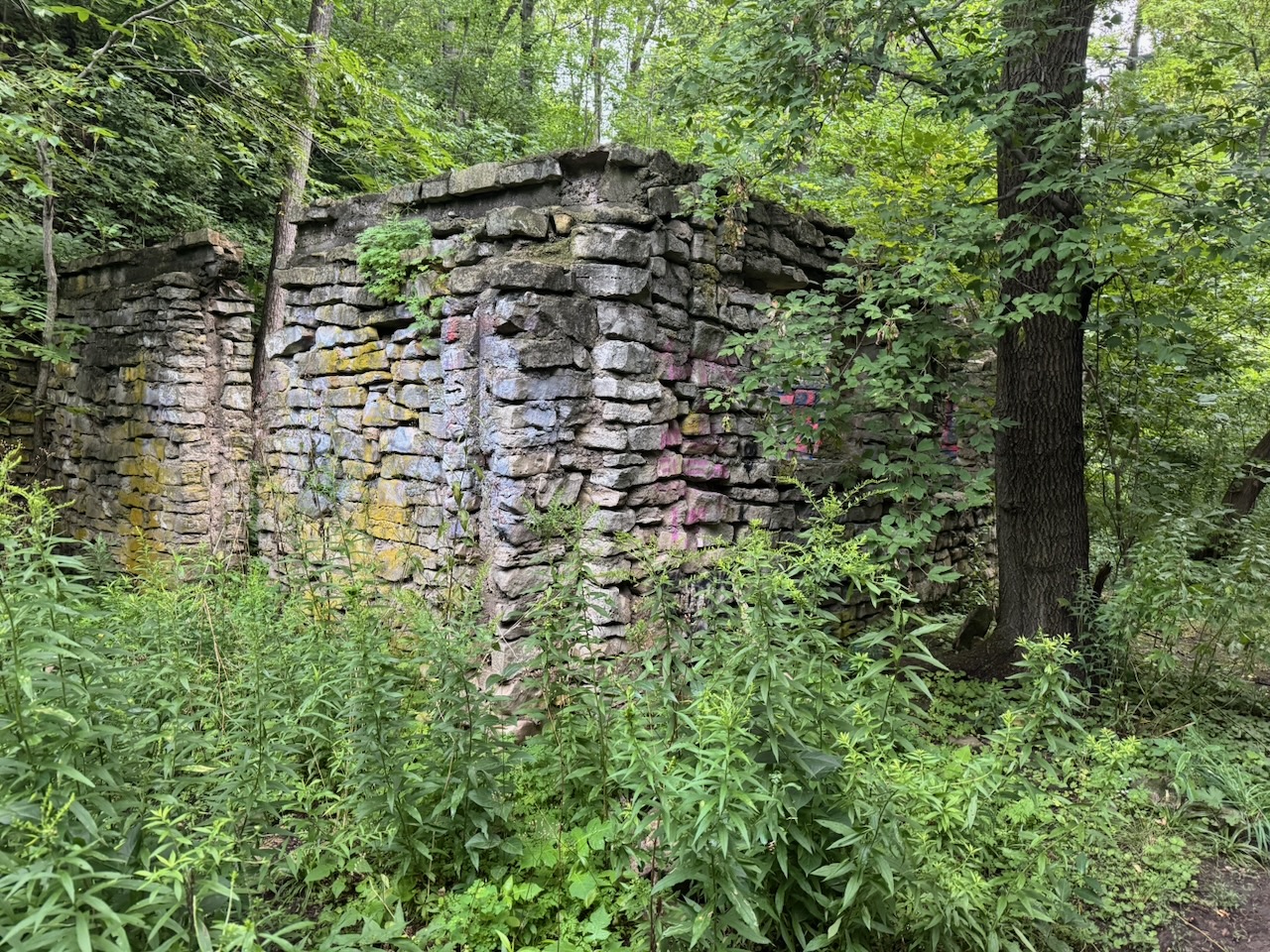
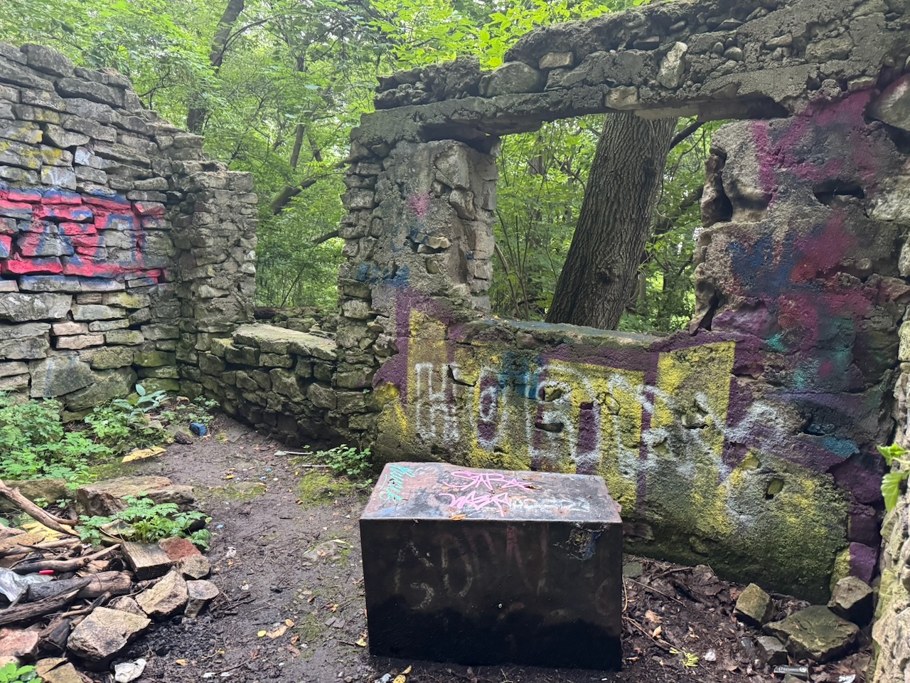
This was followed by some relatively unremarkable hiking along roads and roadside trails. I could see out to Hamilton harbour which was nice, but there’s not much to say about it. There was a set of stairs and a neat graffiti covered tunnel, followed by the ruined foundation of what was once probably an old barn.
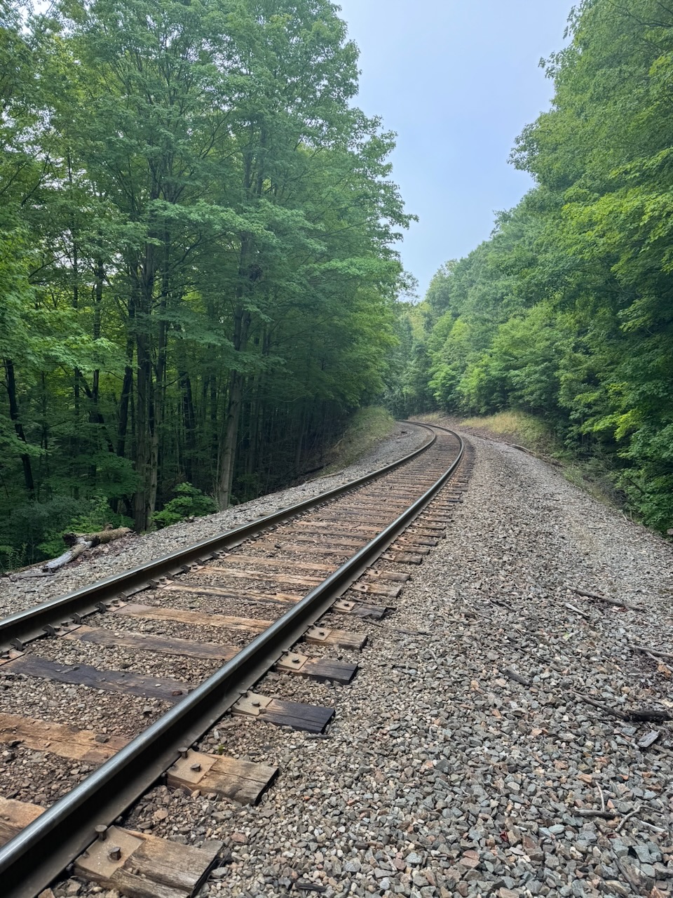
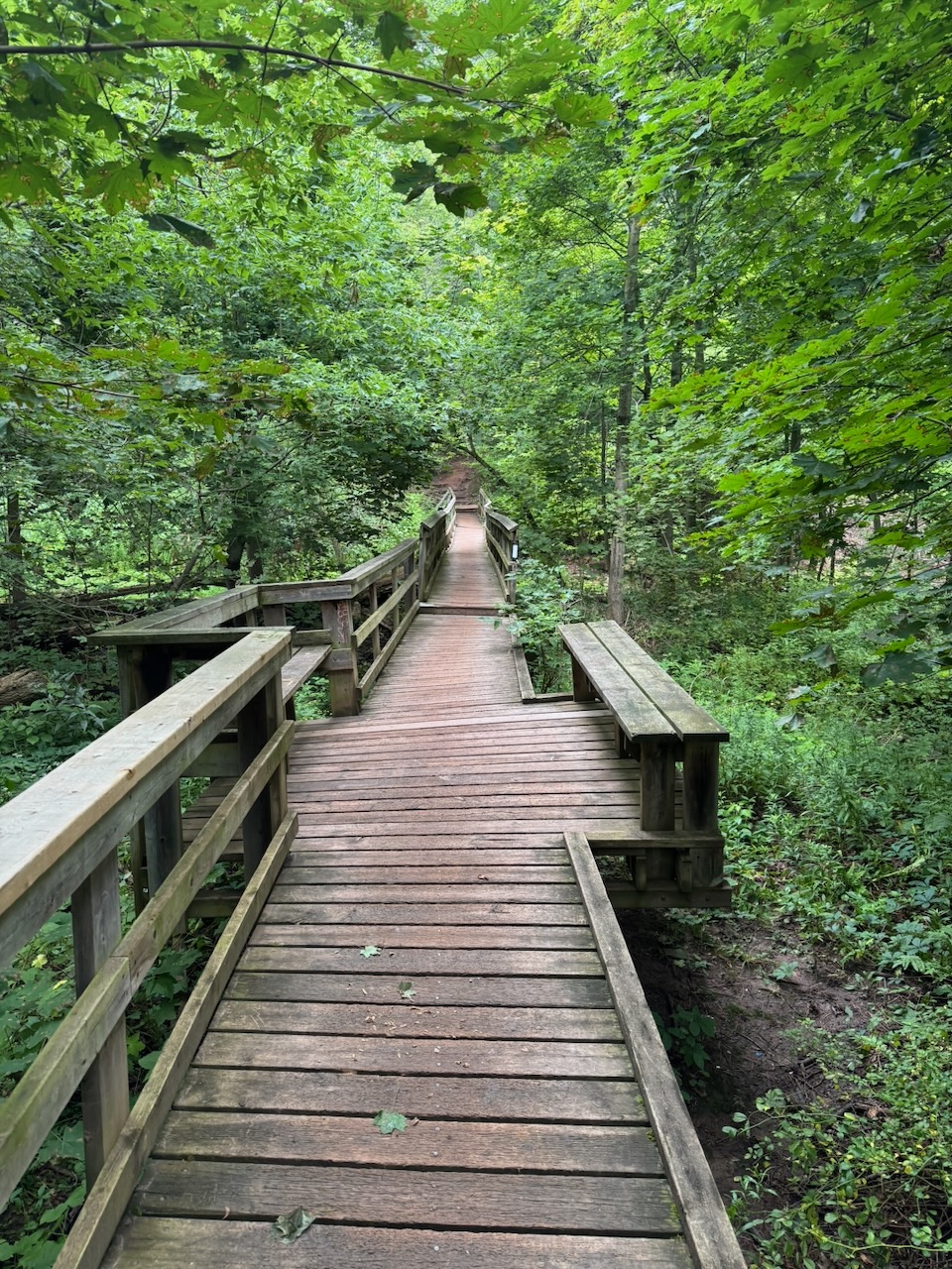
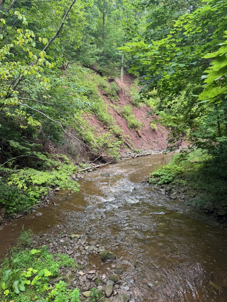
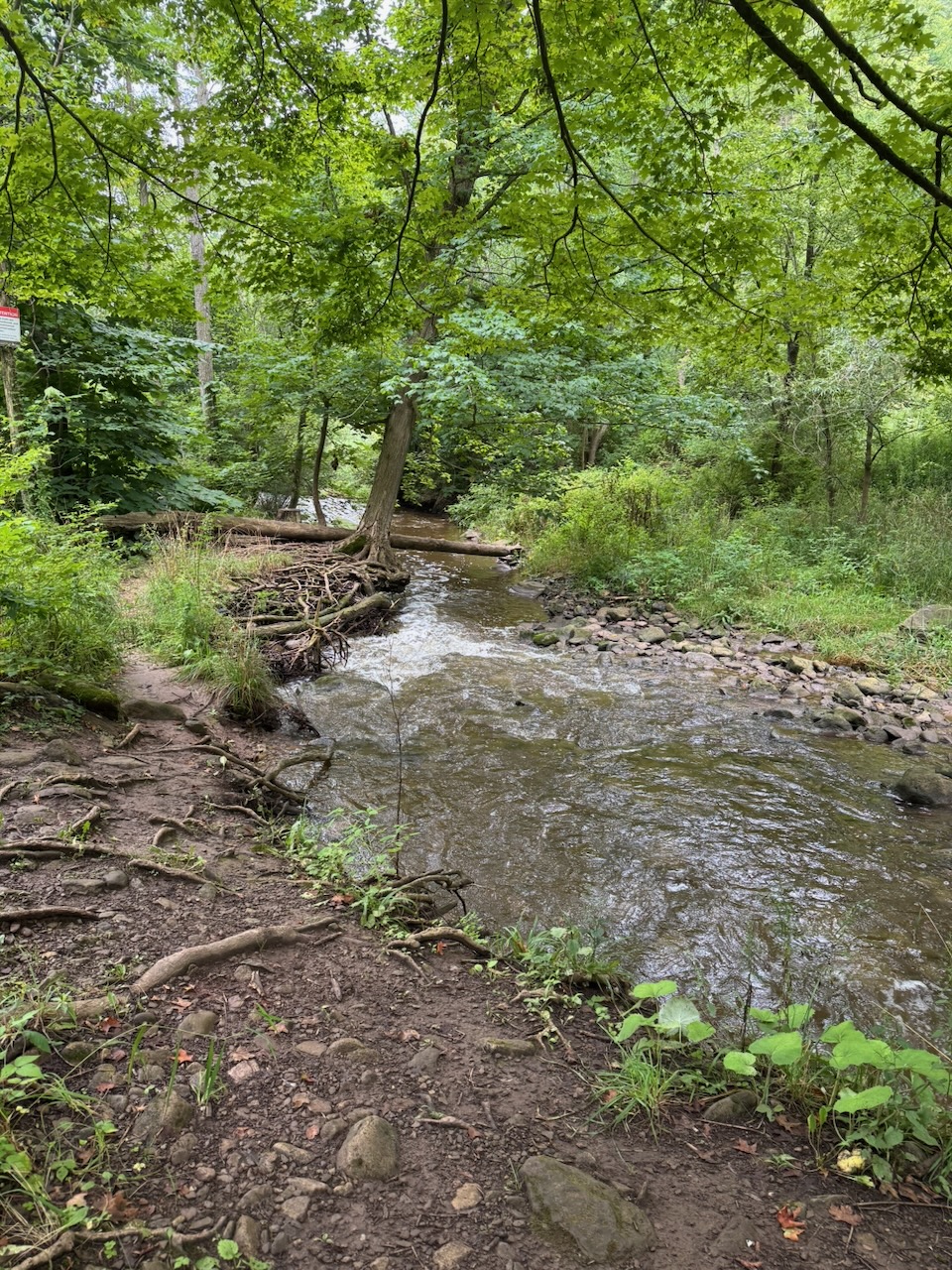
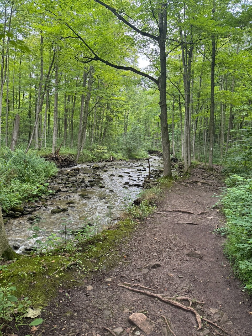
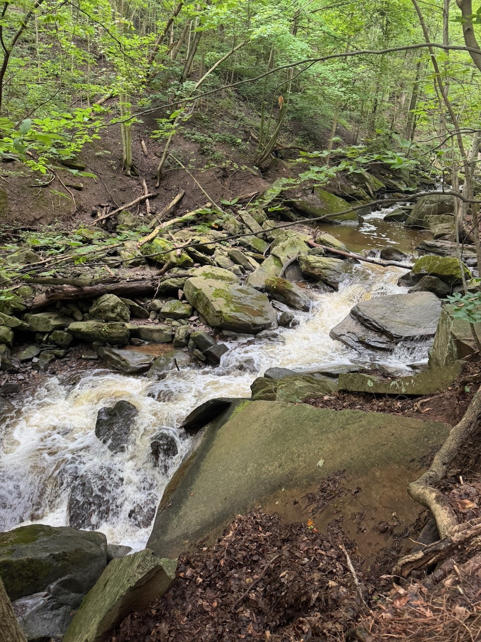
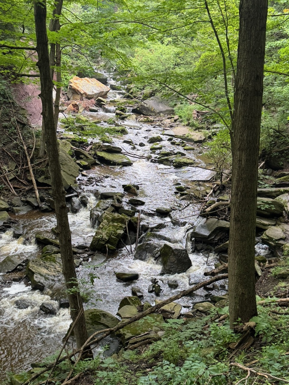
I crossed a few railroad tracks and arrived a rickety bridge over Grindstone Creek (more on the name later). This was the highlight of the whole hike and really the only part much worth talking about. The trail follows the east side of the creek for several kilometres, with elevation increasing the entire time. Since it has been rainy lately this means that you are treated to a multi-kilometre long “waterfall”. It seems that this is no secret, as I saw lots of other hikers on this part of the trail. The “long waterfall” terminates at Smokey Hollow. So called because it once contained so many mills and industry that it was always smokey. This is, I suspect, why Grindstone Creek is called Grindstone Creek, there were likely grist mills here at one point. Almost nothing of it now remains, I honestly can’t decide if that’s good or bad.
While hiking this section I noticed that the trail information signs also had Chinese text. Turns out it’s because from here the trail is also a “friendship trail” with the Taiwan Mountains to Sea Greenway trail. Very neat, but a trail in BC would probably have made more sense as it has actual mountains and seas, and probably more people from Taiwan.
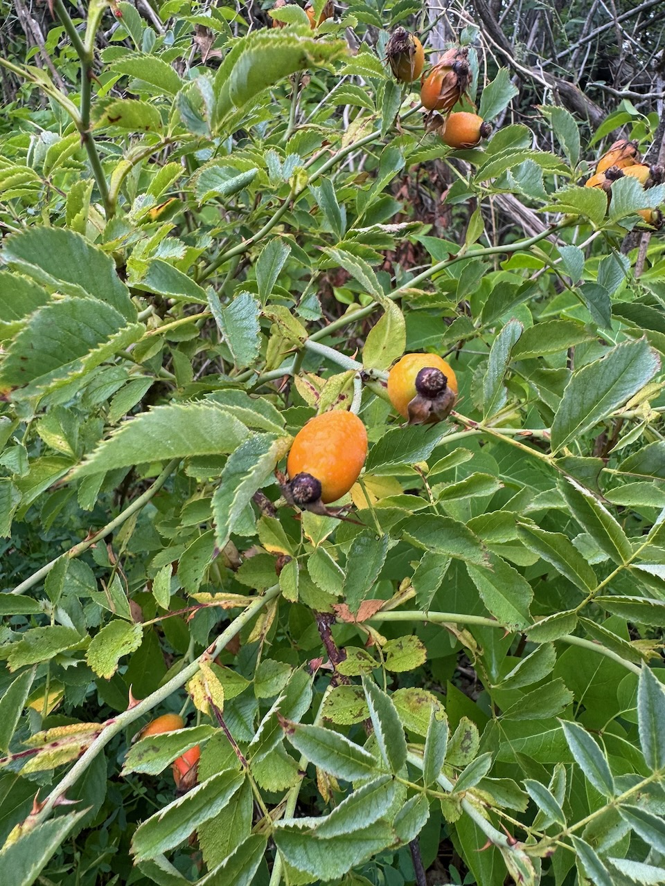
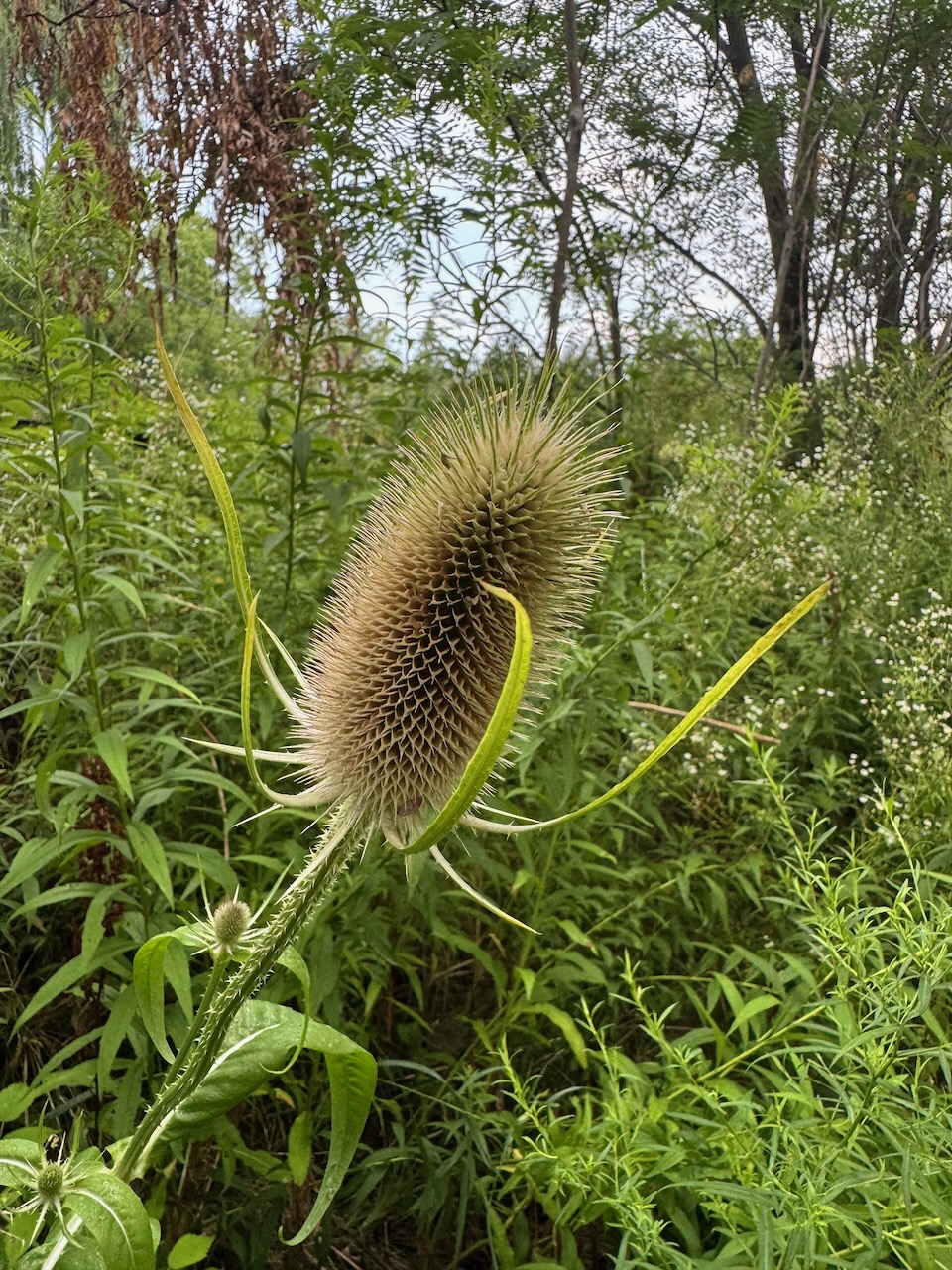
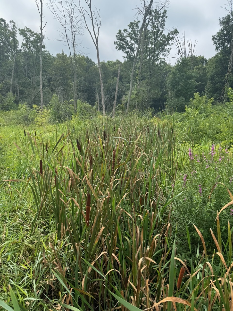
There were a few marshy sections after this and I was happy to see a few Bulrush and Milkweed plants, These used to grow near my cottage and we’d see Monarch butterflies in the evening when we’d walk past the marshes and fields. That’s all gone now of course.
Next I was unceremoniously dumped onto Burlington’s surface streets where I took in one of the better known landmarks on this section, the Shoppers Drug Mart, to get a cold drink. I try to finish 20k on each hike, but this was a real slog, it seemed to take forever to get to 20k, not helped at all by being on a sidewalk in Burlington on a hot day.
Semi-related: I’m wondering if Apple is fudging the numbers on the Fitness app. Such that it’s “optimistic” in the first few kilometres to encourage you to keep going, and eventually getting “pessimistic” to even it out. I doubt it, but that’s exactly the “encouraging fitness in your life” granola-munching crap they’d do.
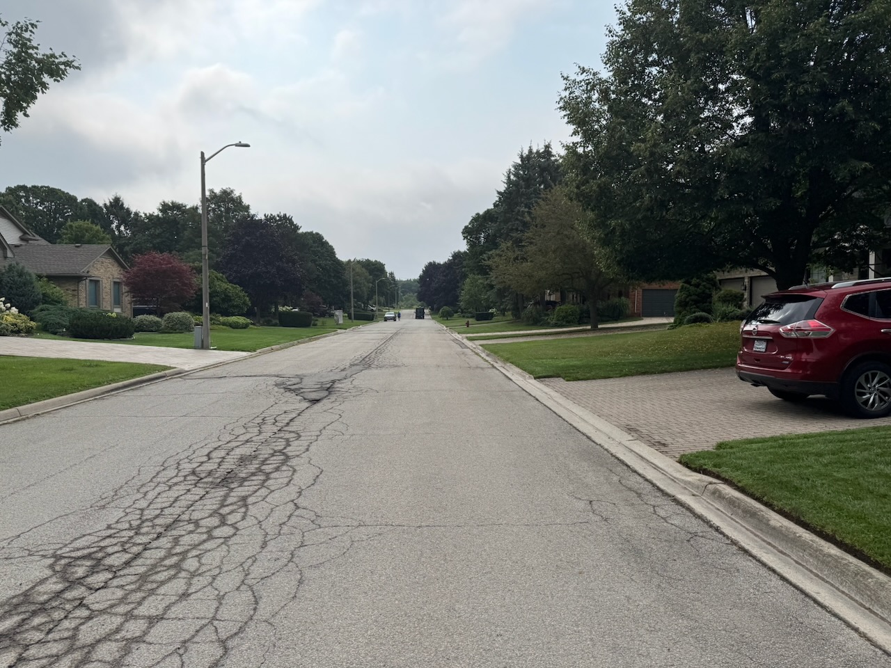
I now have a bit of an issue, there is no “official” parking lot where I stopped. It’s in a development that has no sidewalks, narrow streets and lawns going all the way to the road edge. This is because the last parking lot I passed would have made the hike too short, but the next one was still quite far away. I’ll have to try and risk parking somewhere in here and pissing off the locals, or parking somewhere else and taking an Uber to my start point. We’ll see.
Only 707.9km to go!