Hike the Bruce Trail Day Fourteen: Bad Lands, Good People

I slept in this time. The morning temperature was 2C and I had nothing planned for the day, so why hurry?

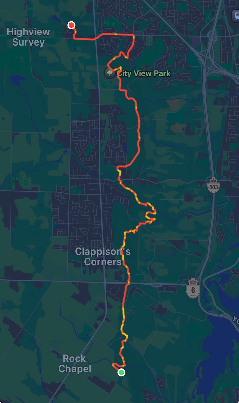
Start: Spirit Tree Estate Cidery

End: Willougby Rd & Escarpment Side Rd

Distance: 18.6km

Weather: 5C and sunny
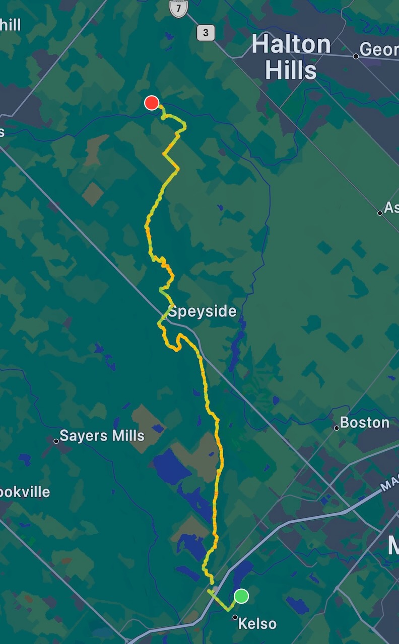
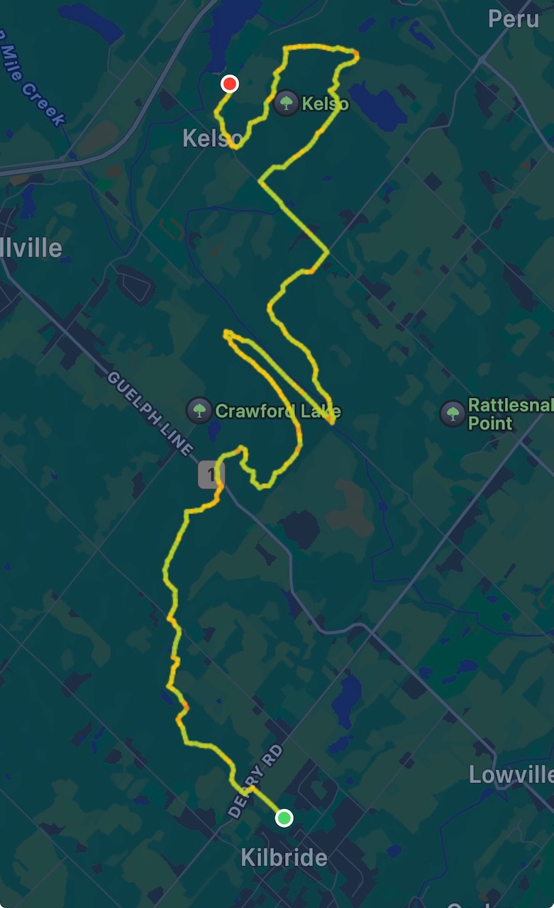
The Route

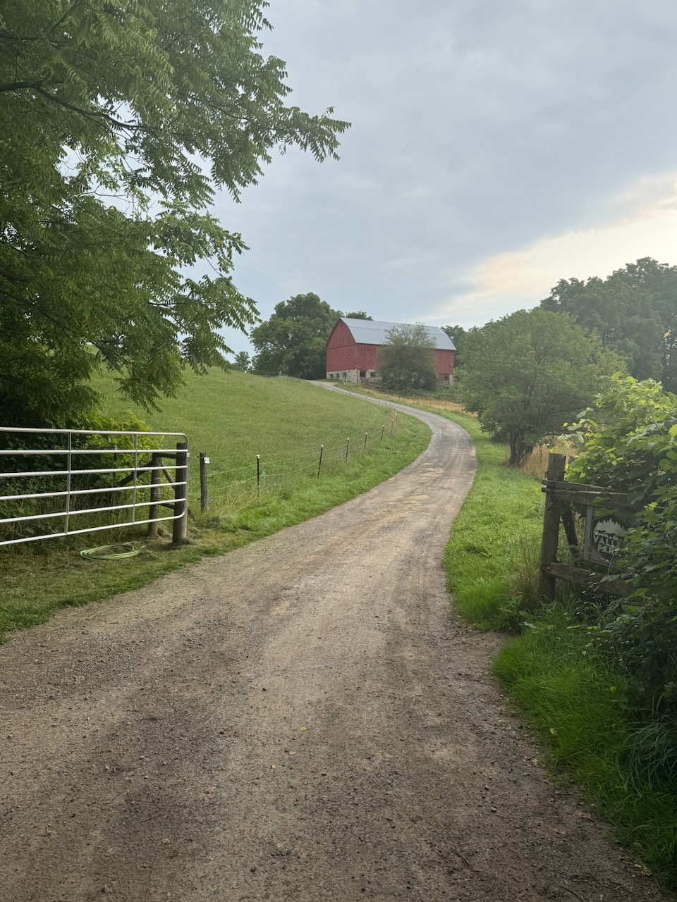
The Cidery where I finished last time doesn’t open until 10AM and I was hoping to park there. That meant I was in no rush to get out of the house, as it’s less than an hour drive. I arrived just after ten and asked very politely if they would mind me leaving my car there for a few hours. I promised to buy some cider on my return. They were very nice and said it was no problem. Good people.

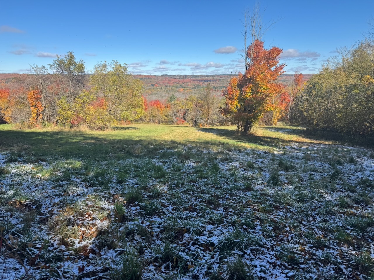
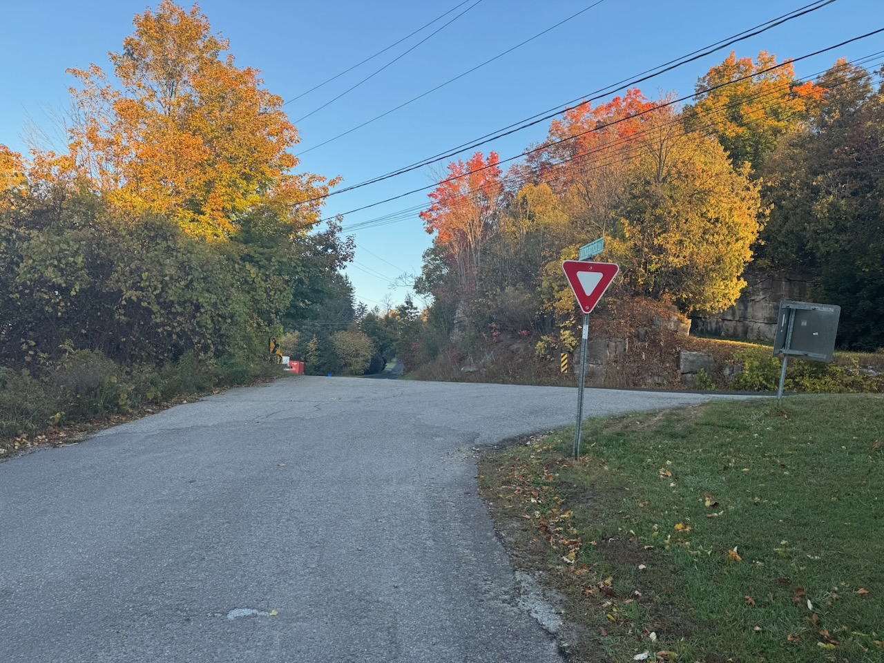
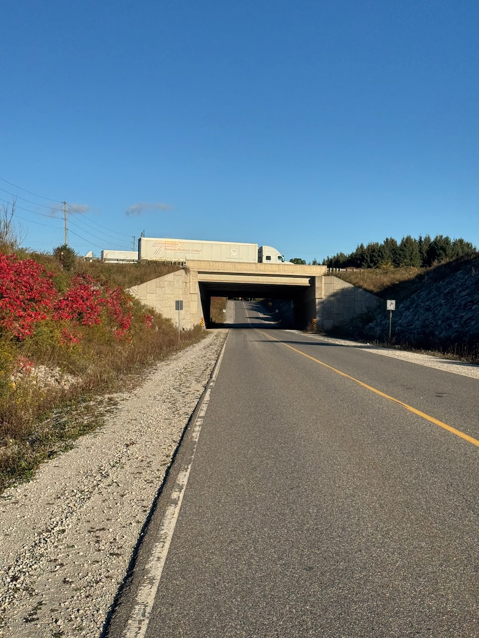
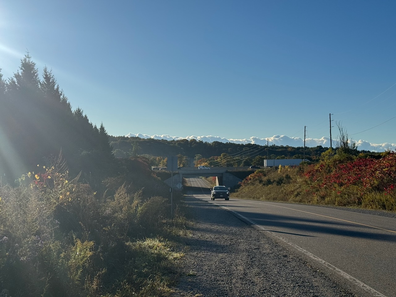
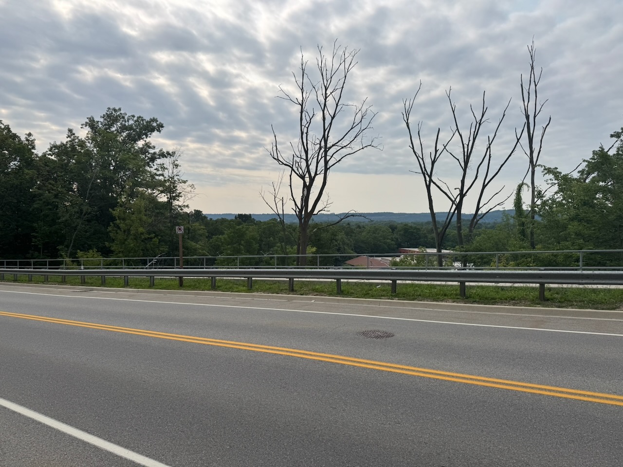
As I was leaving I sort of overheard two of the Cidery employees saying something about snow, but I paid it no mind. Until I got out onto the road and noticed snow on the ground! Winter is coming.

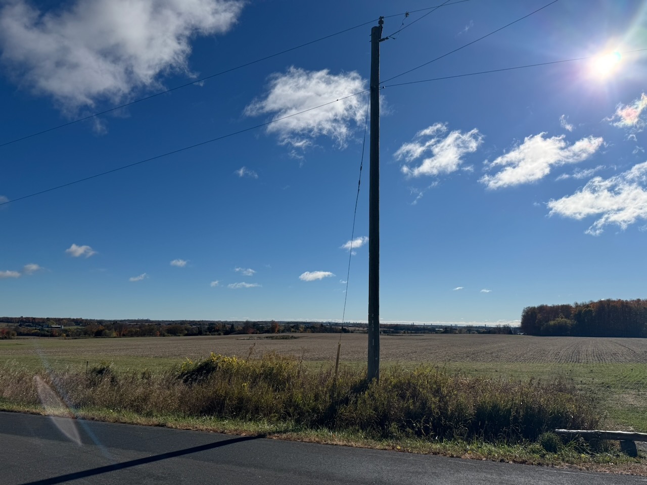
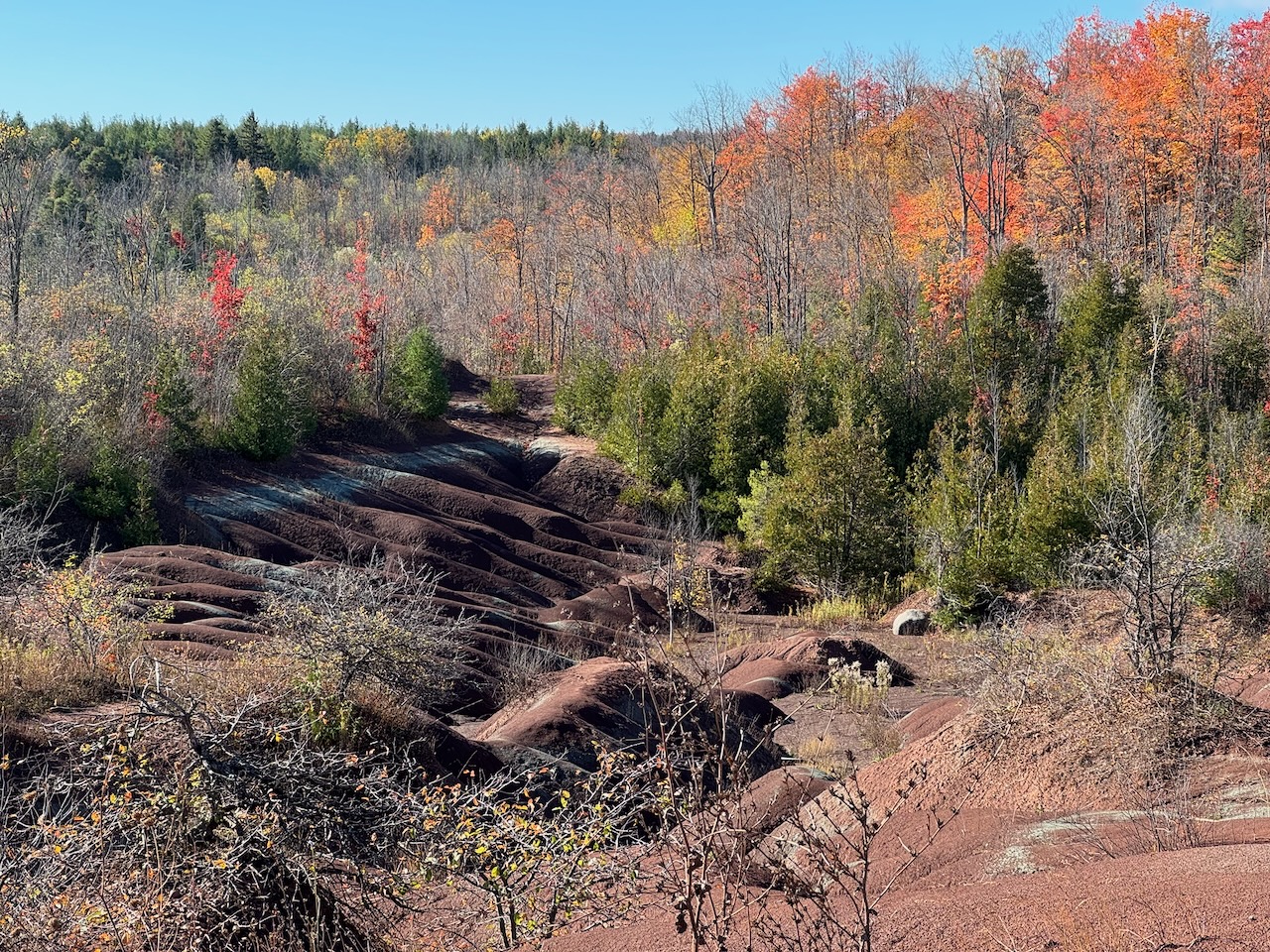
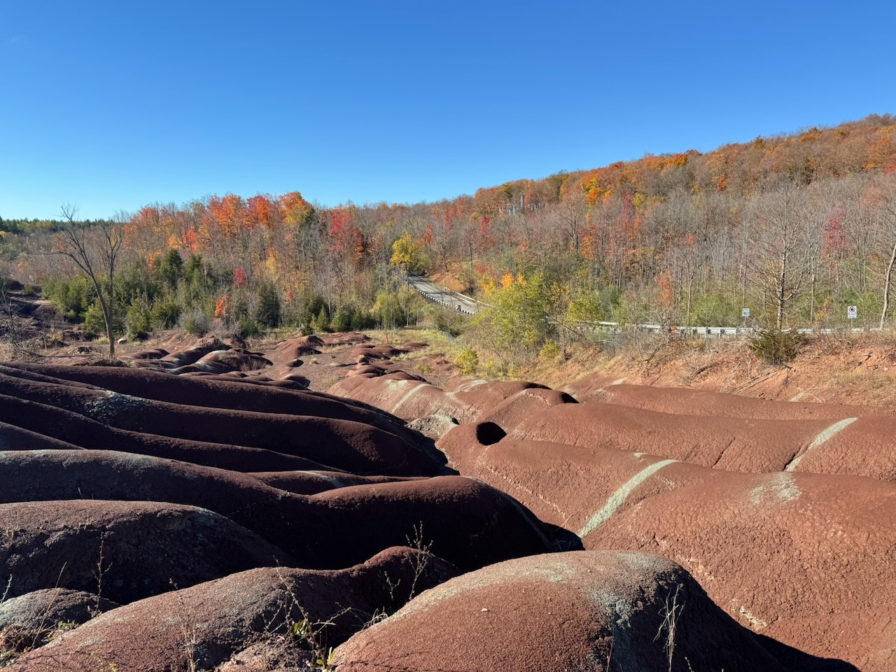
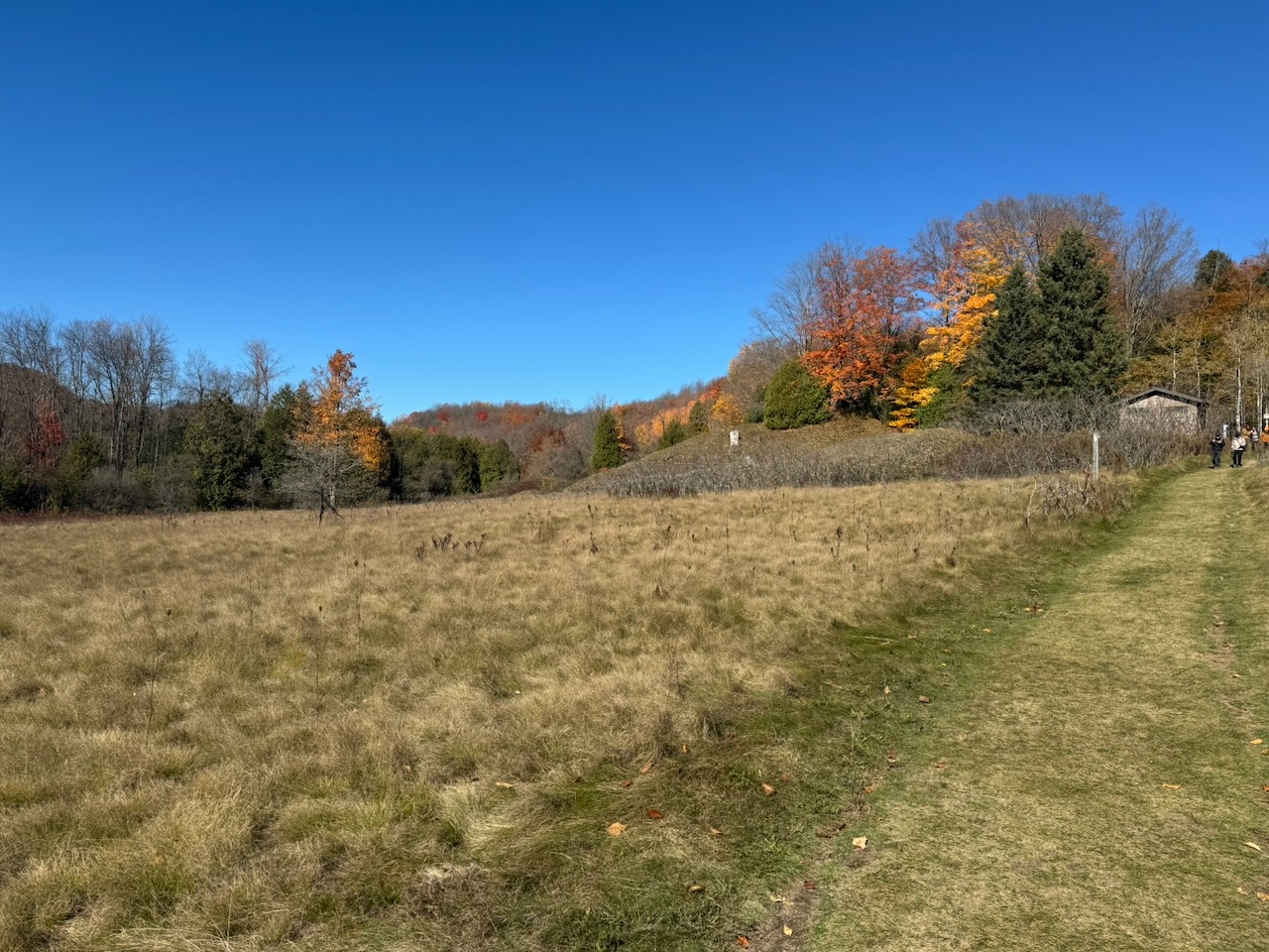
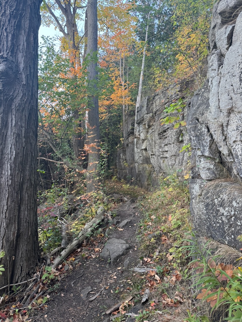
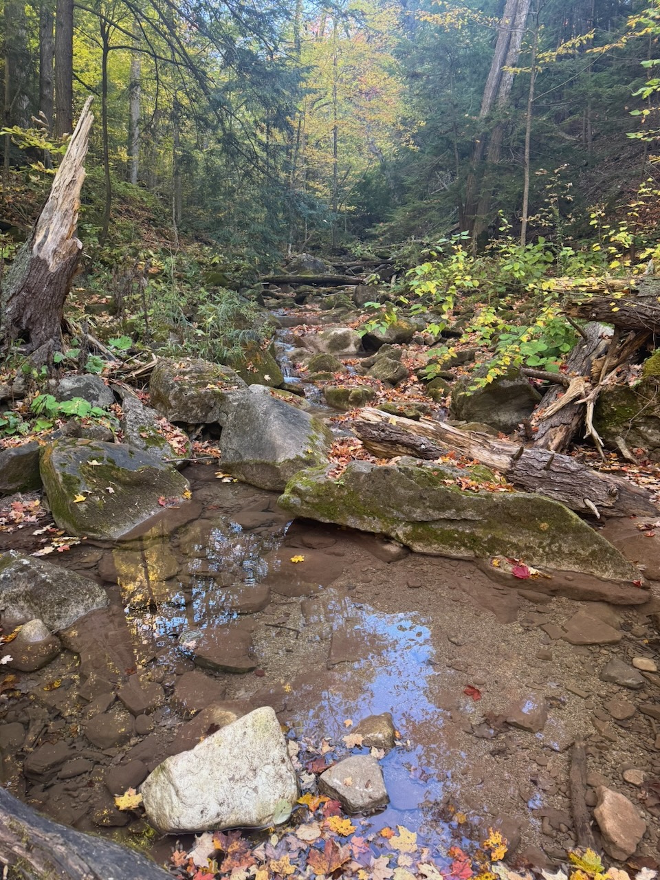
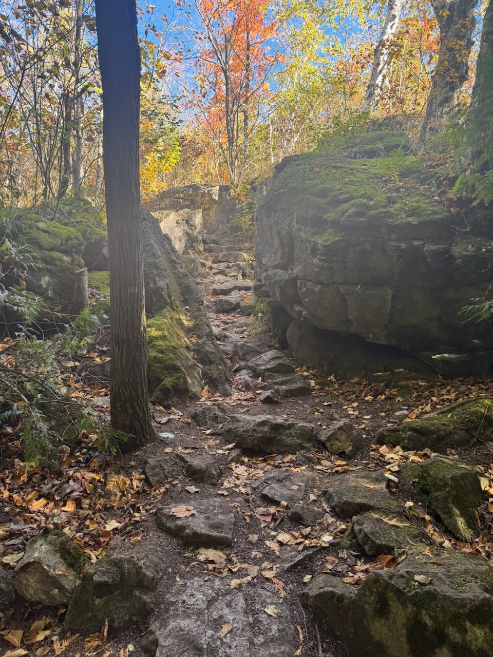
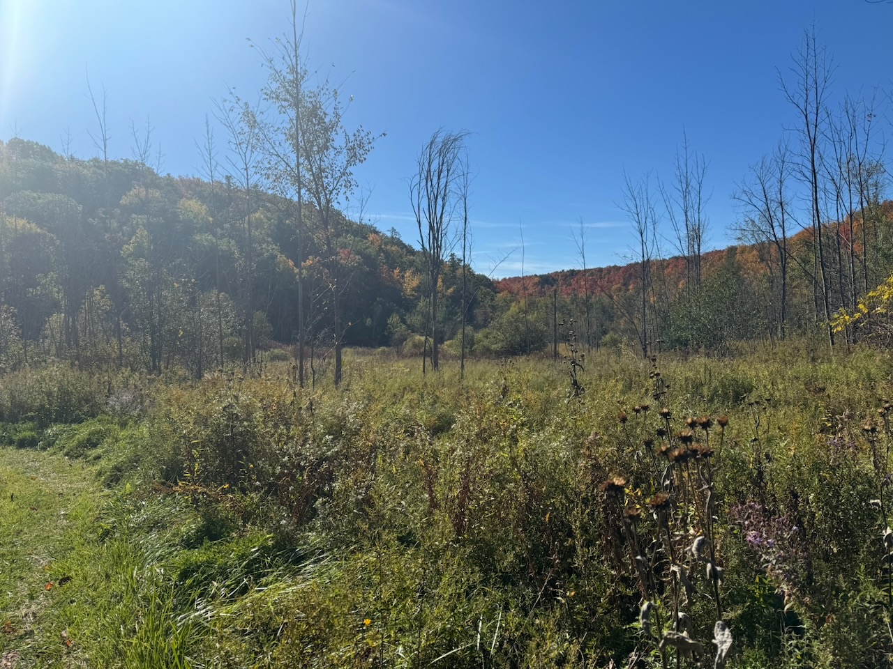
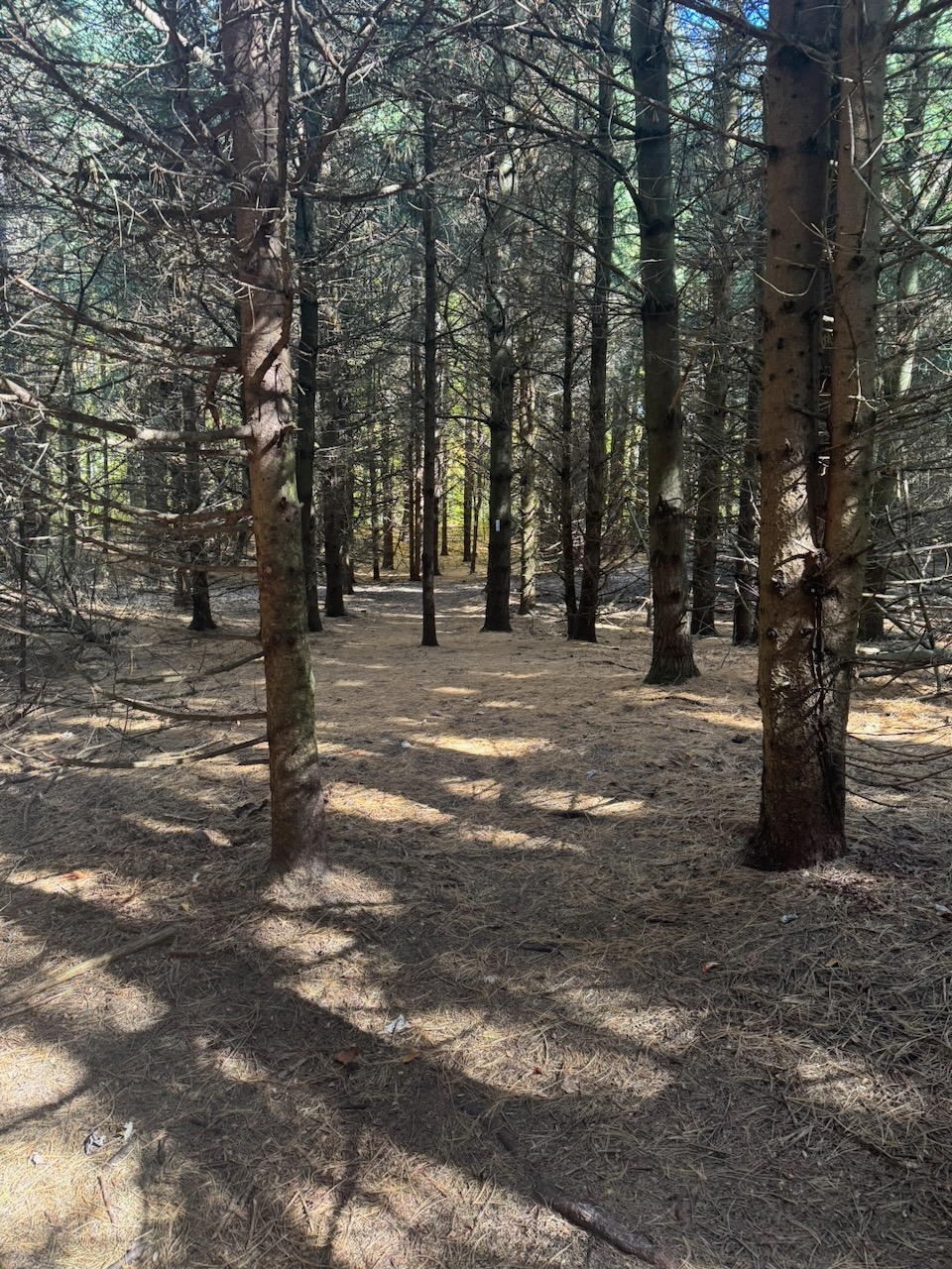
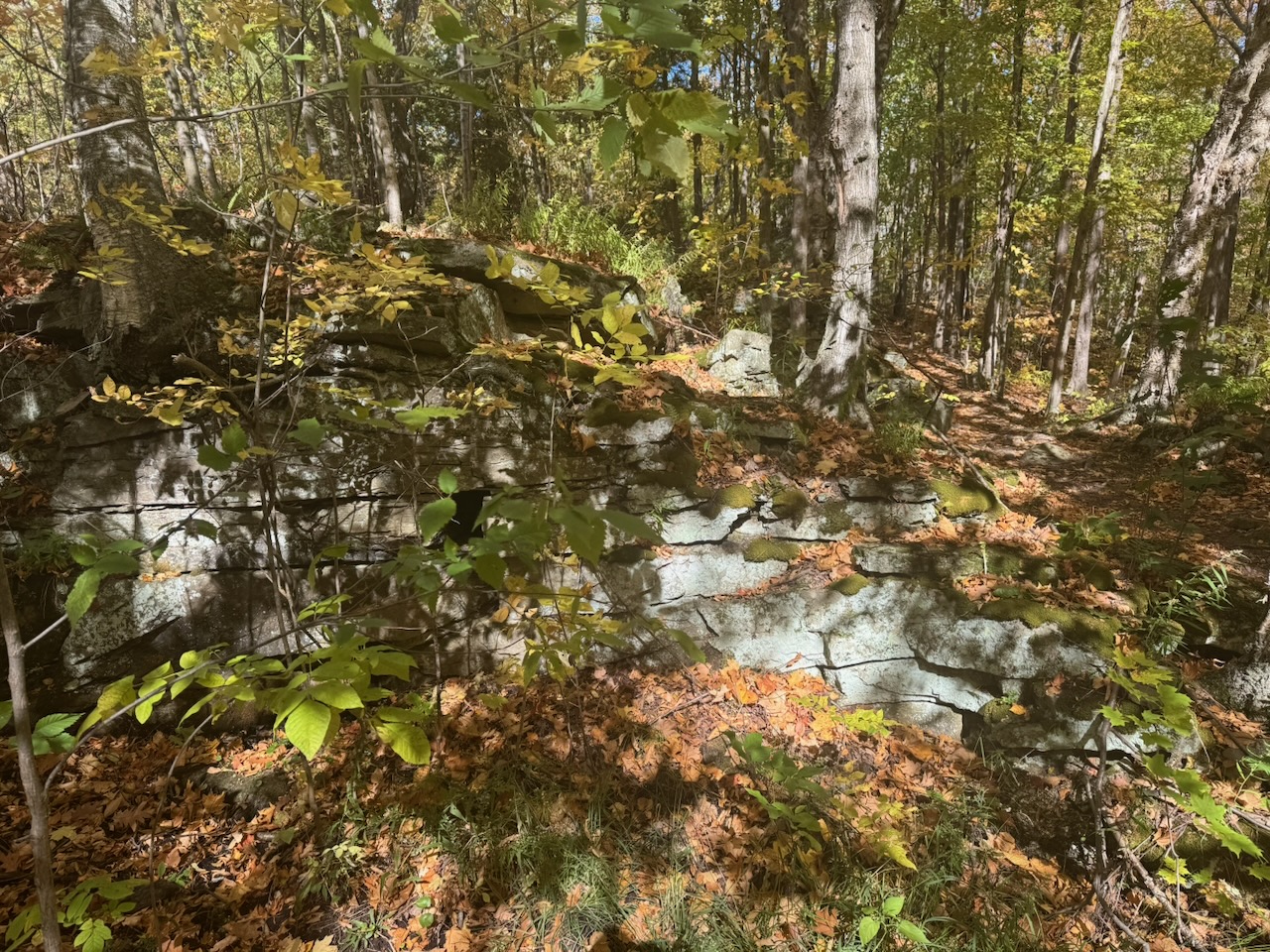
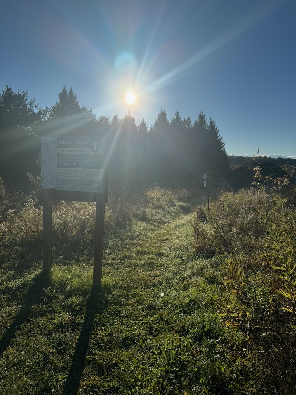
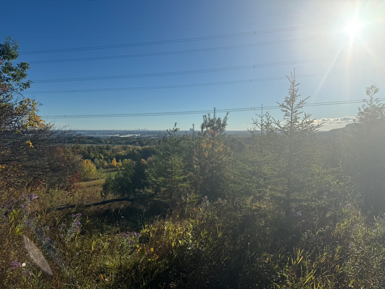
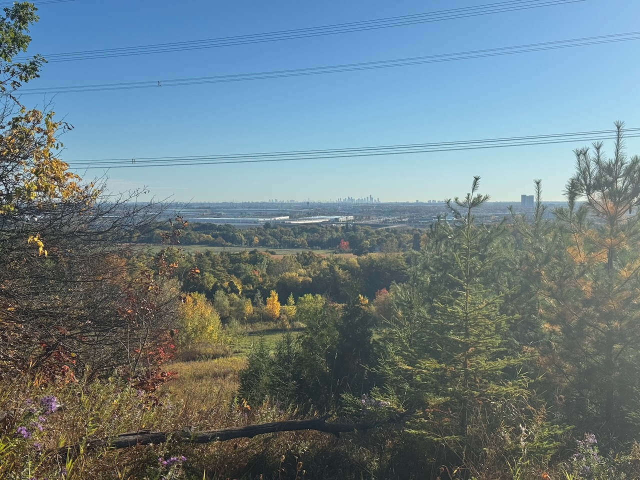
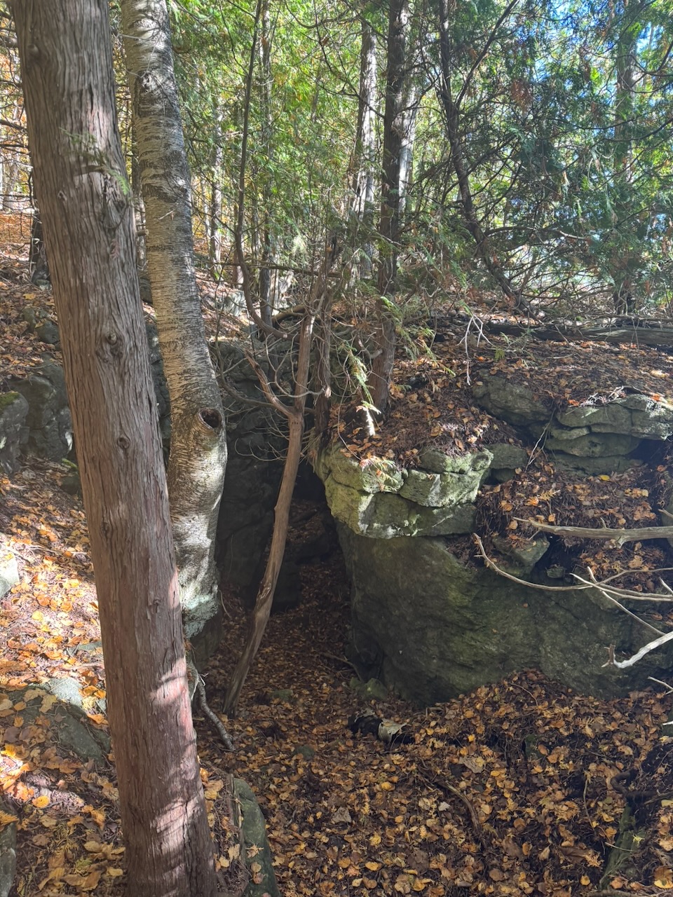
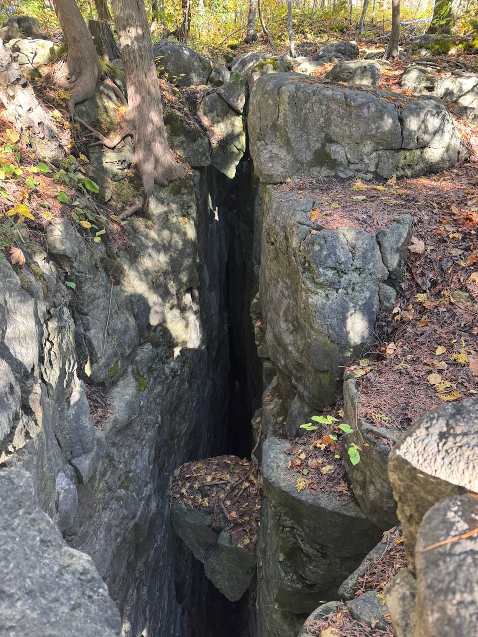
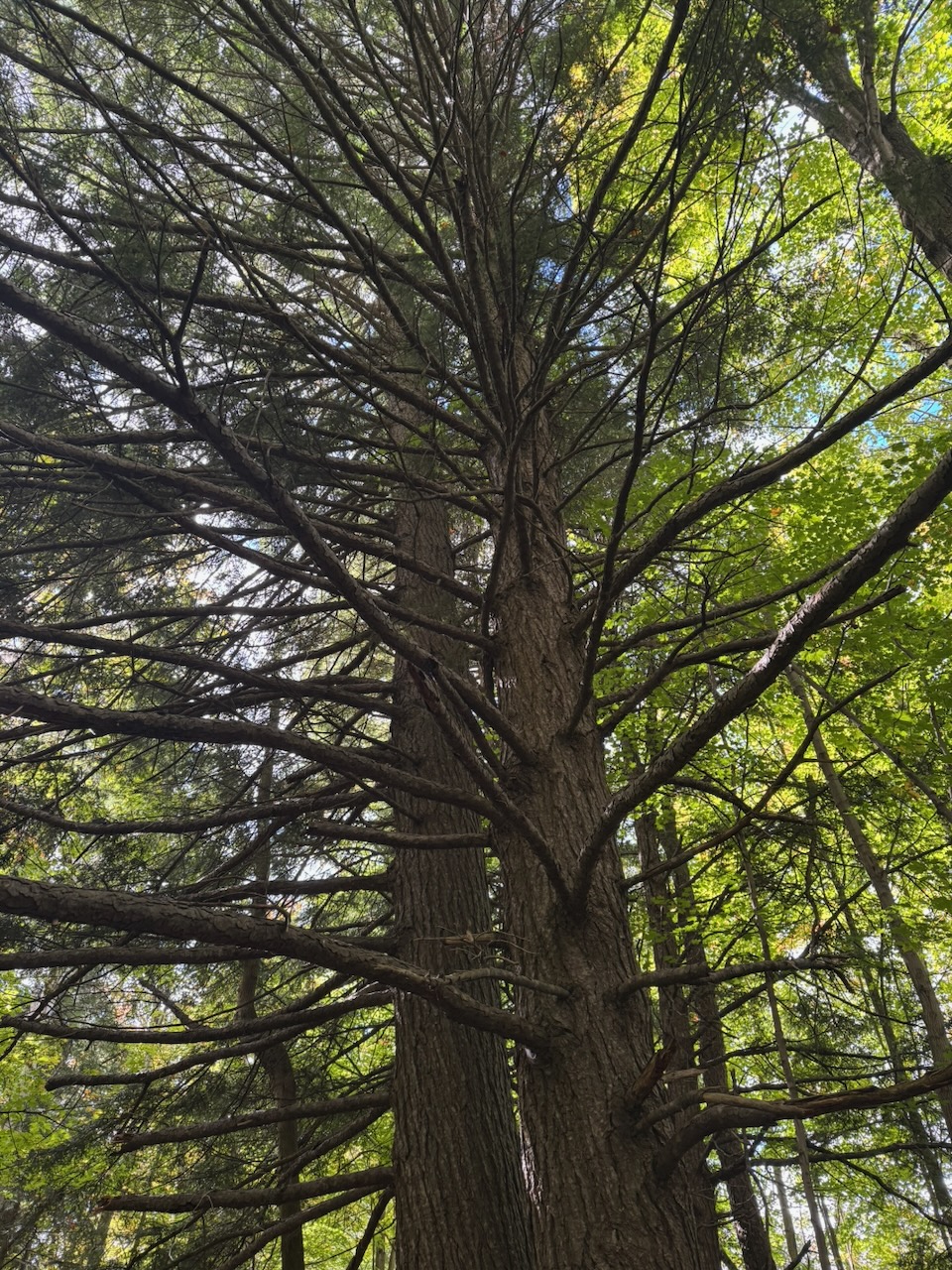
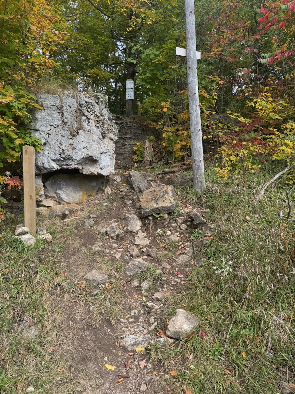
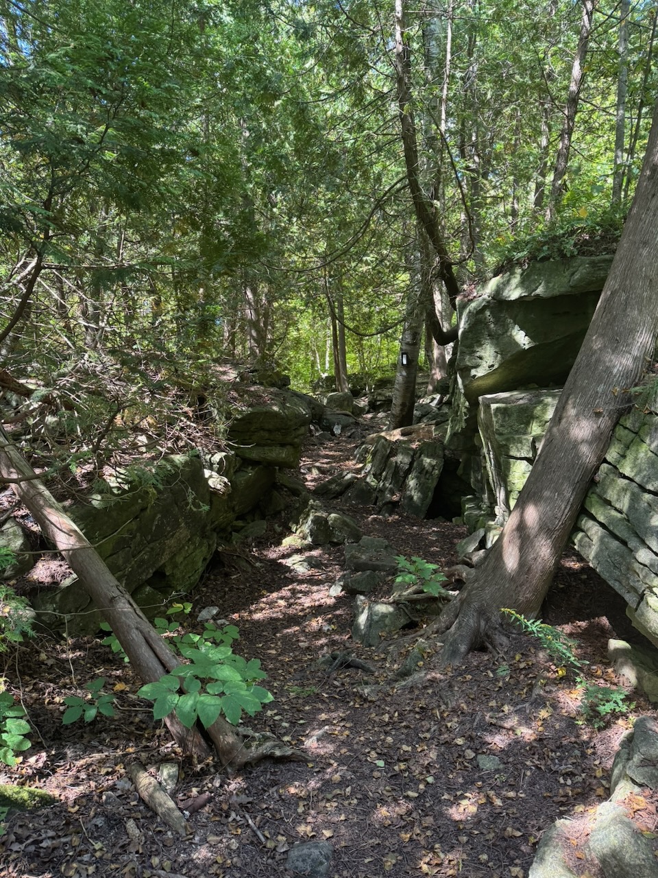
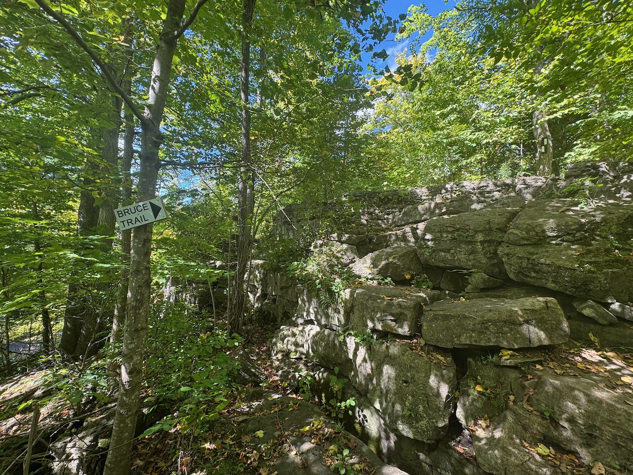
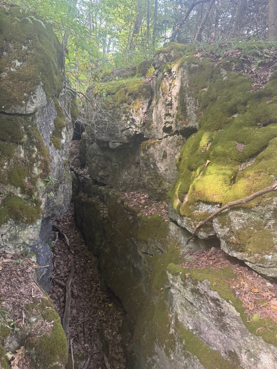
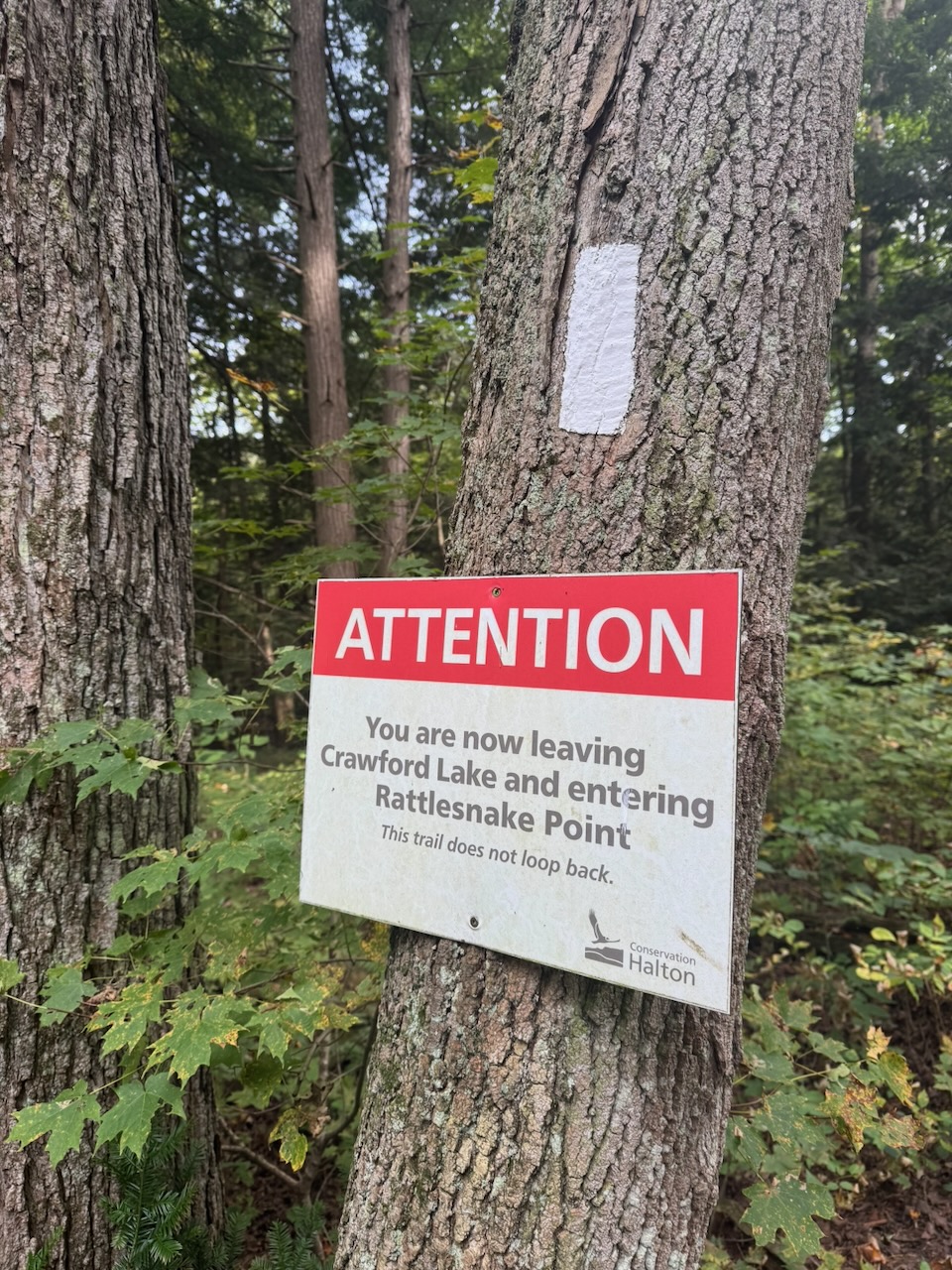
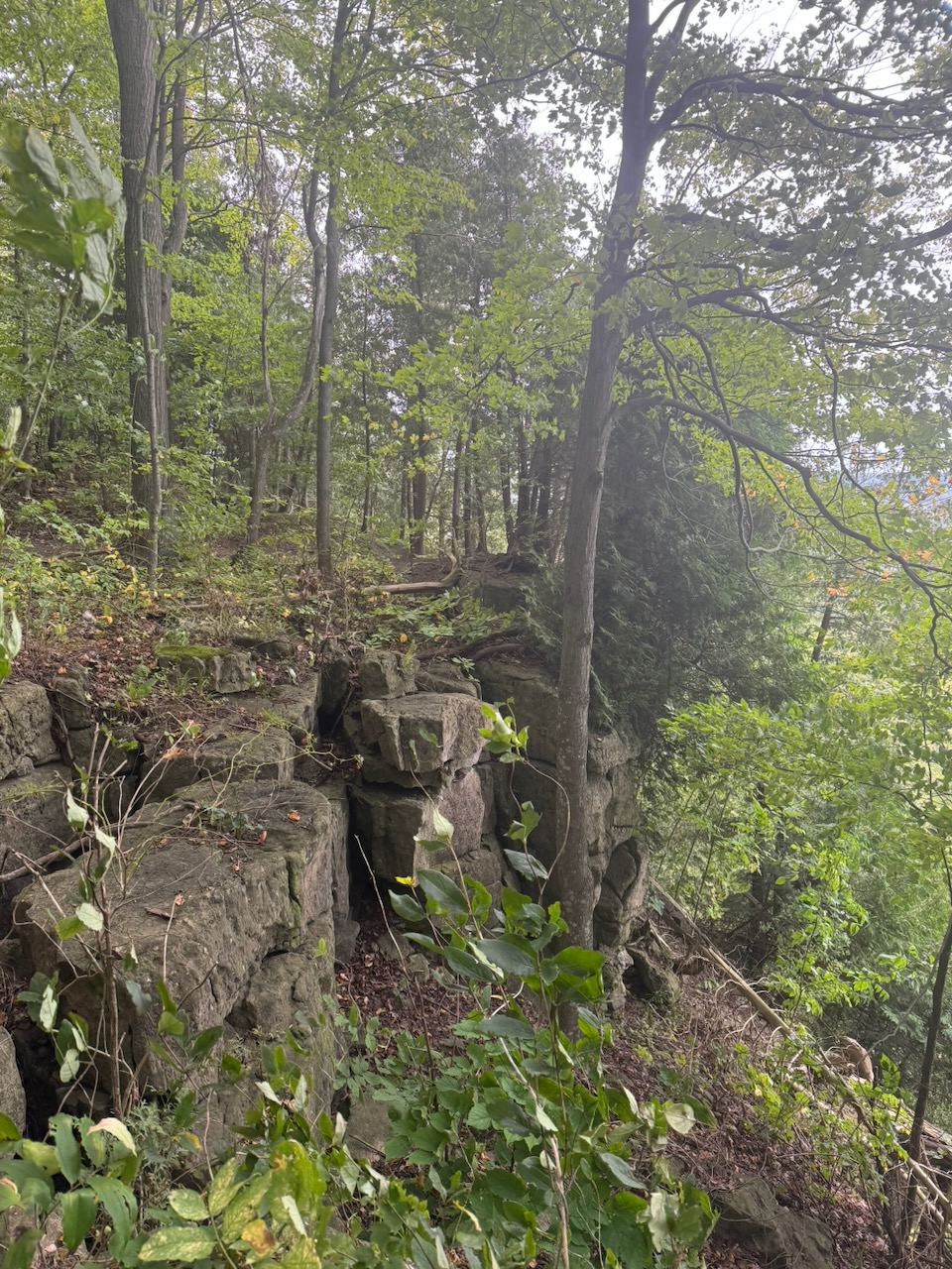
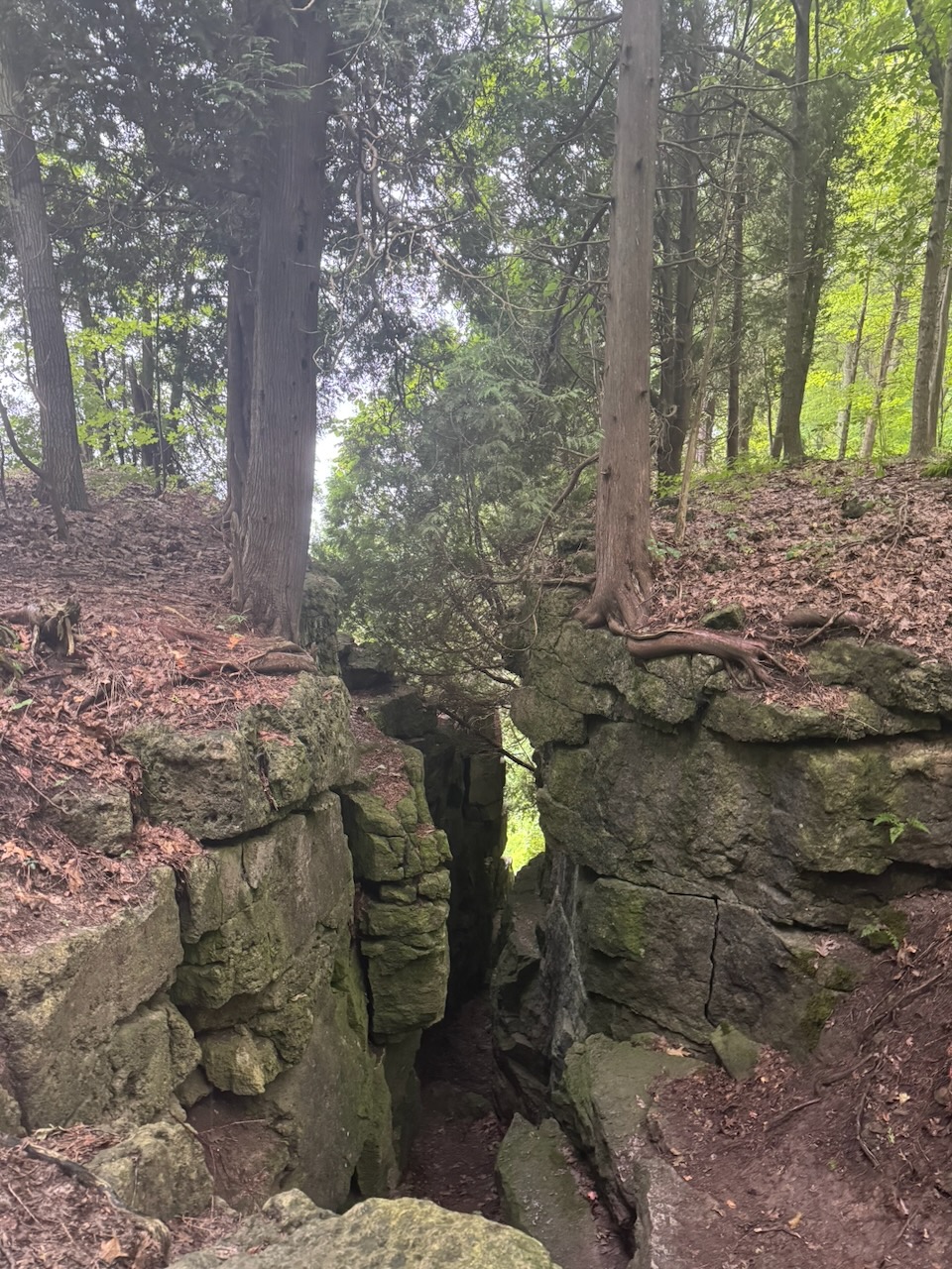
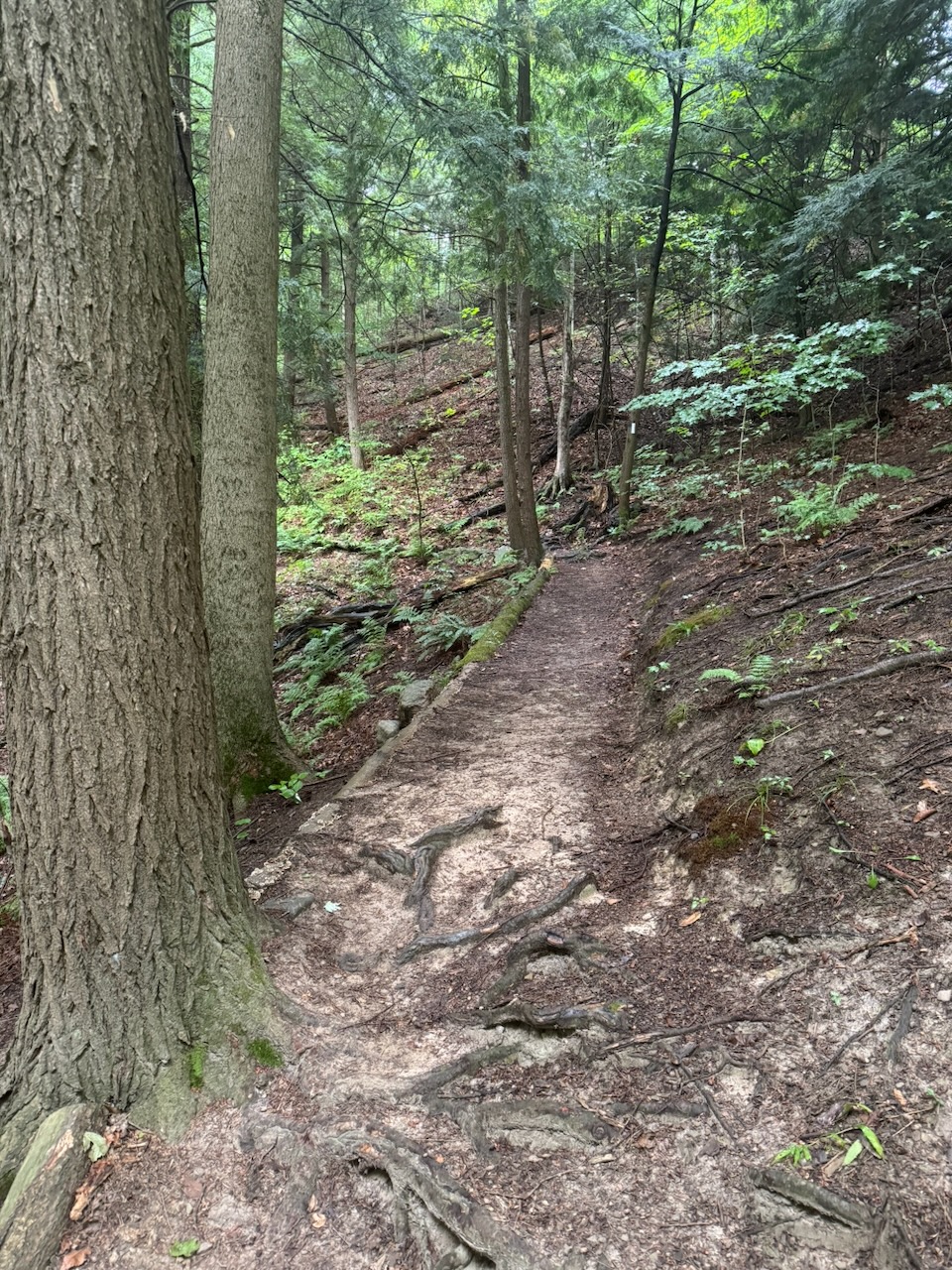
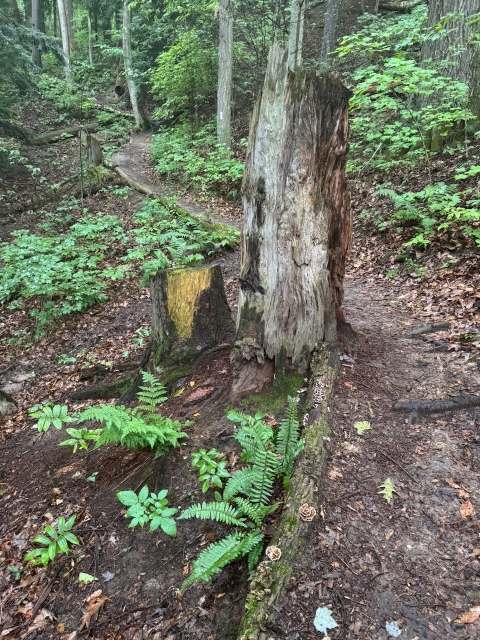
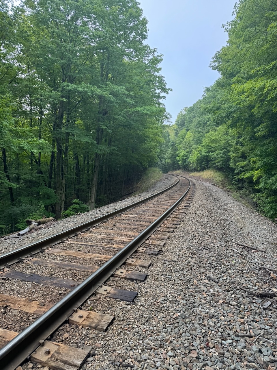
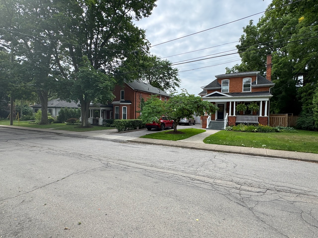
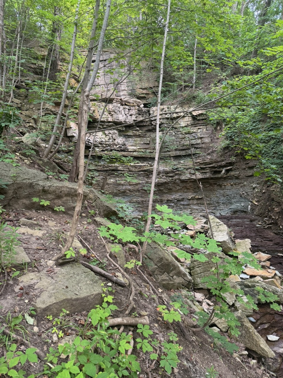
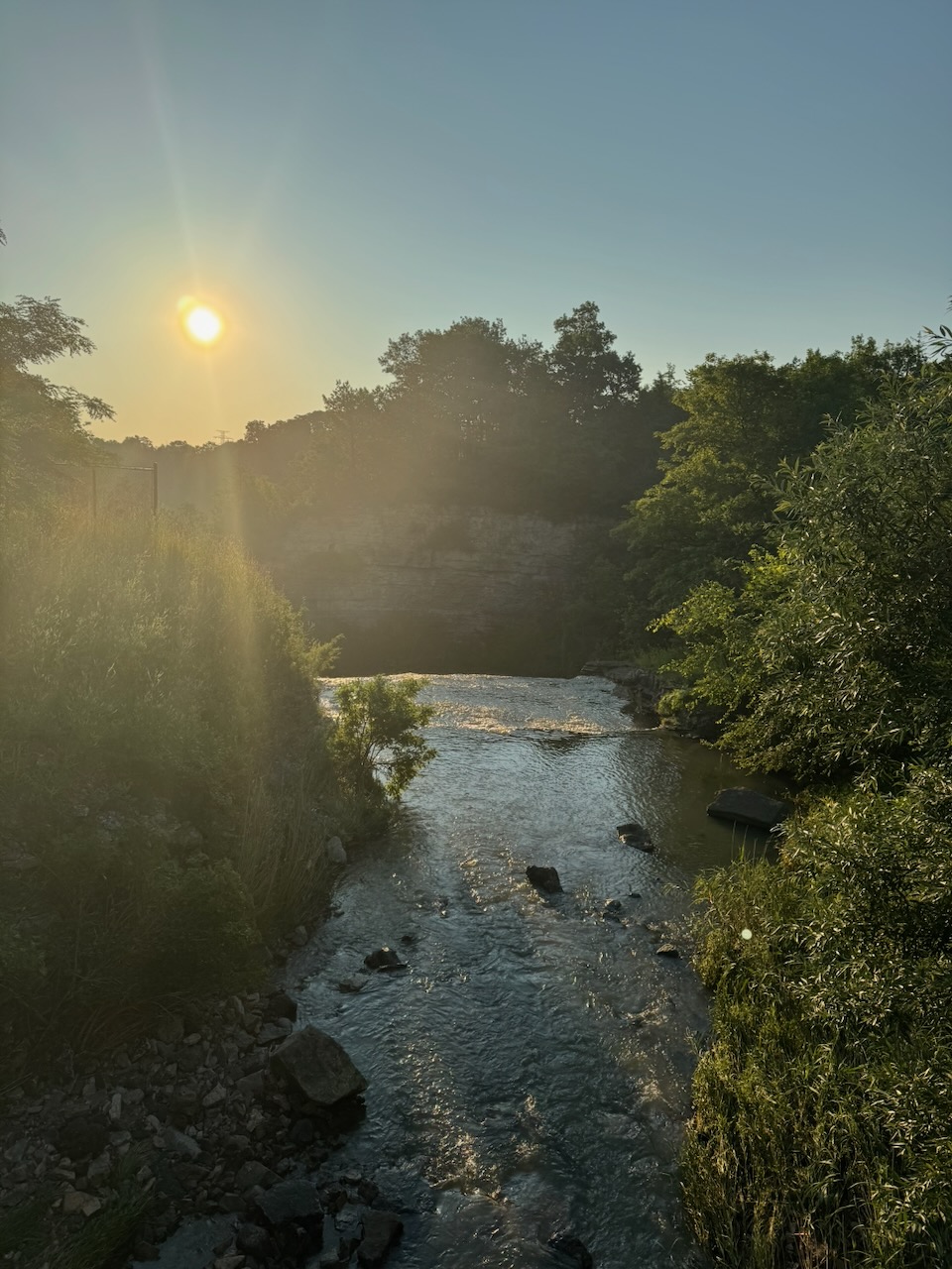
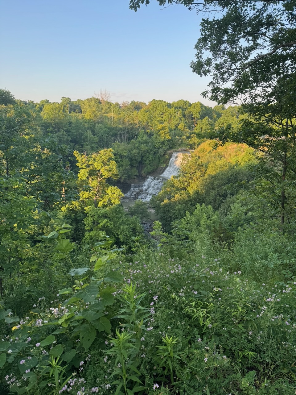
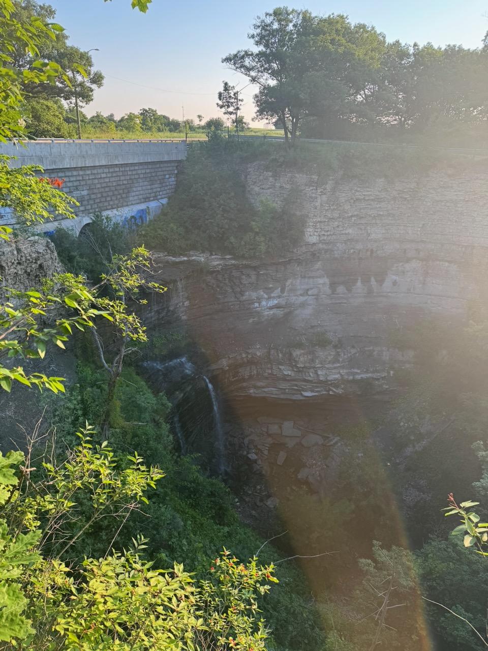
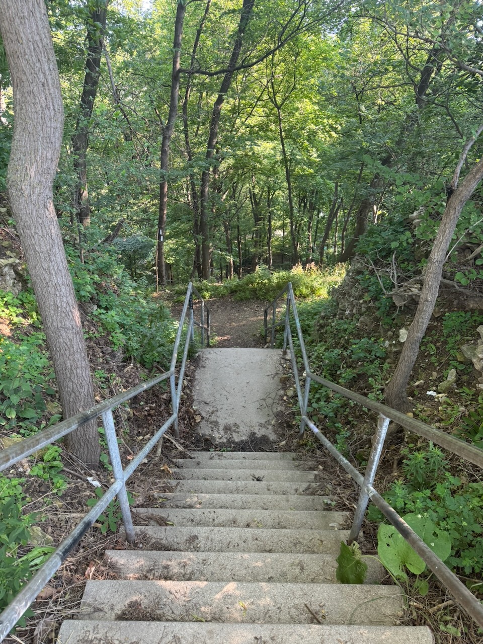
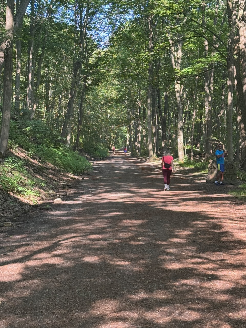
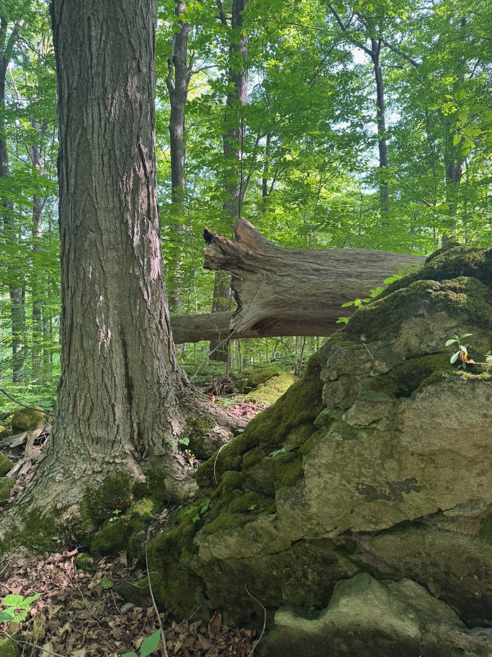
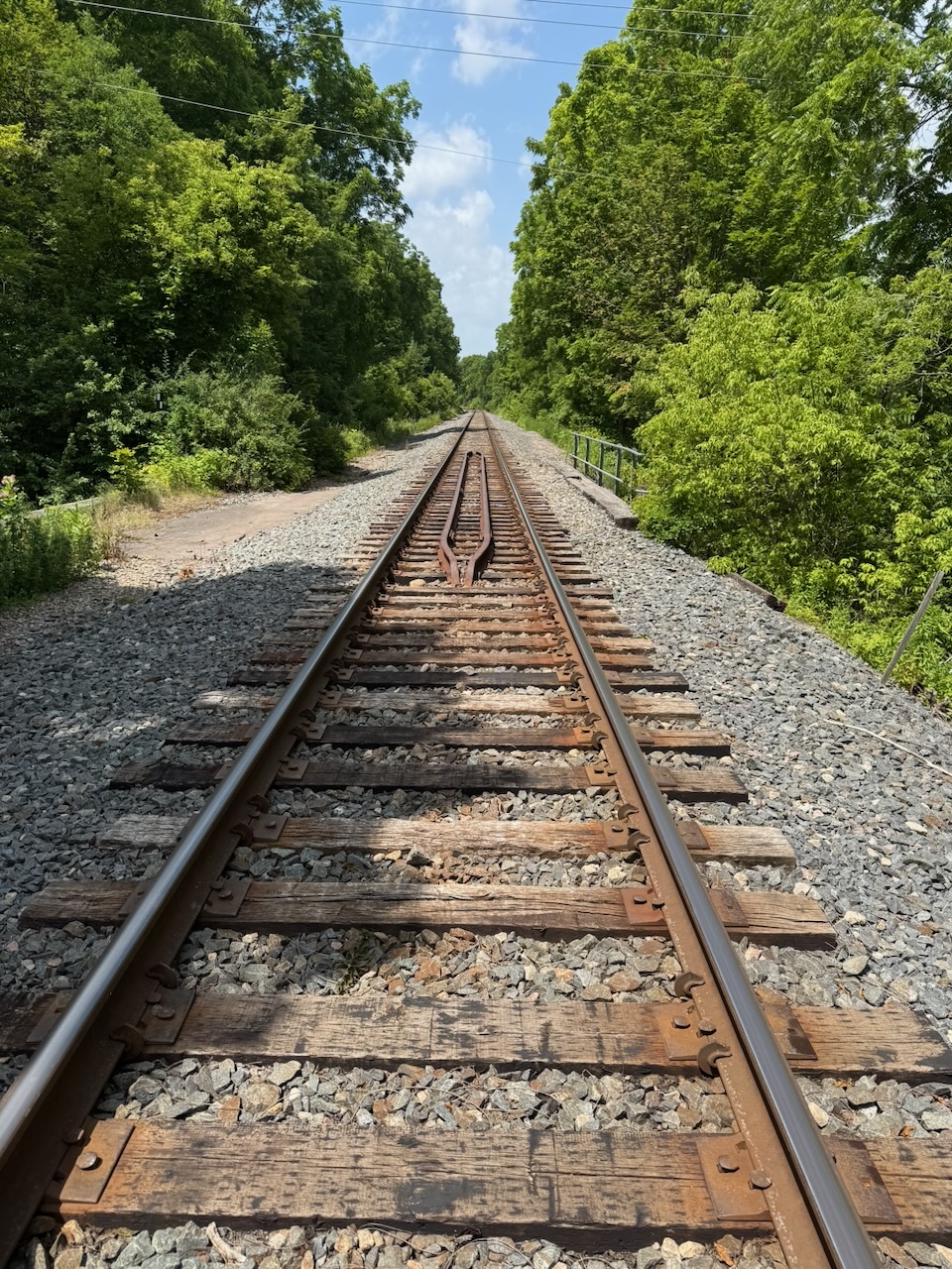
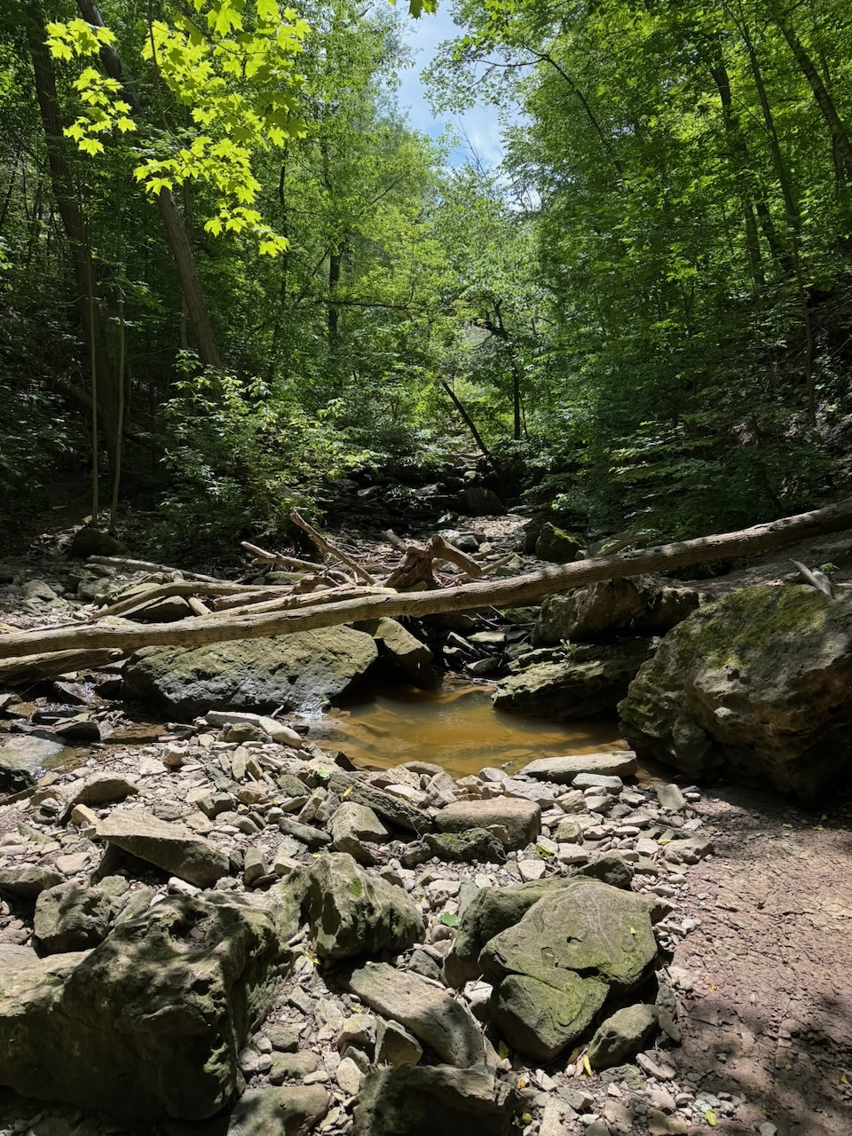
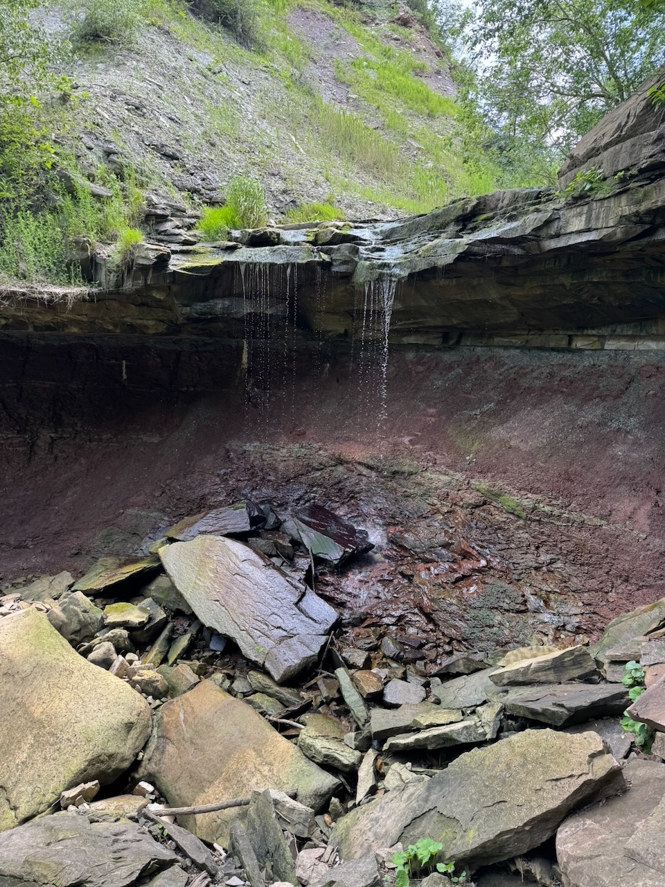
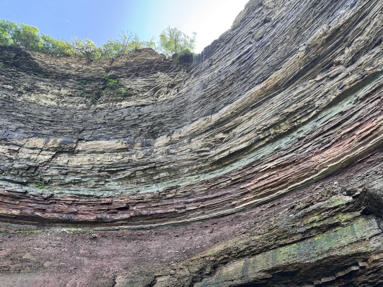
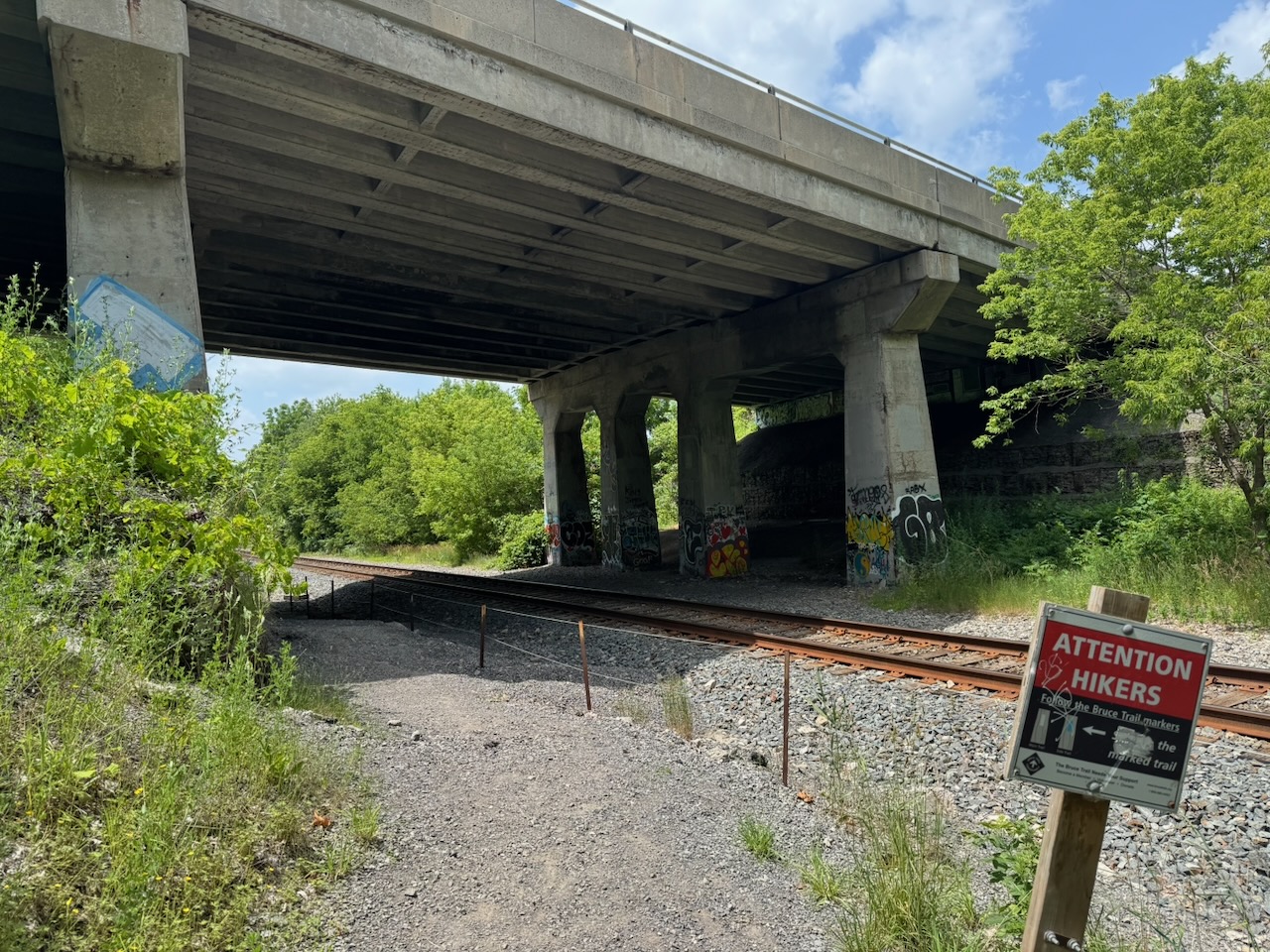
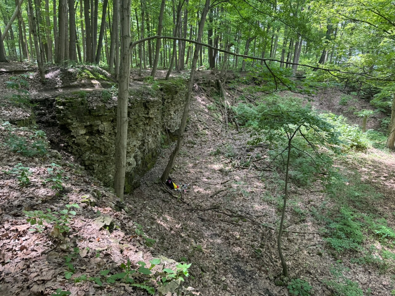
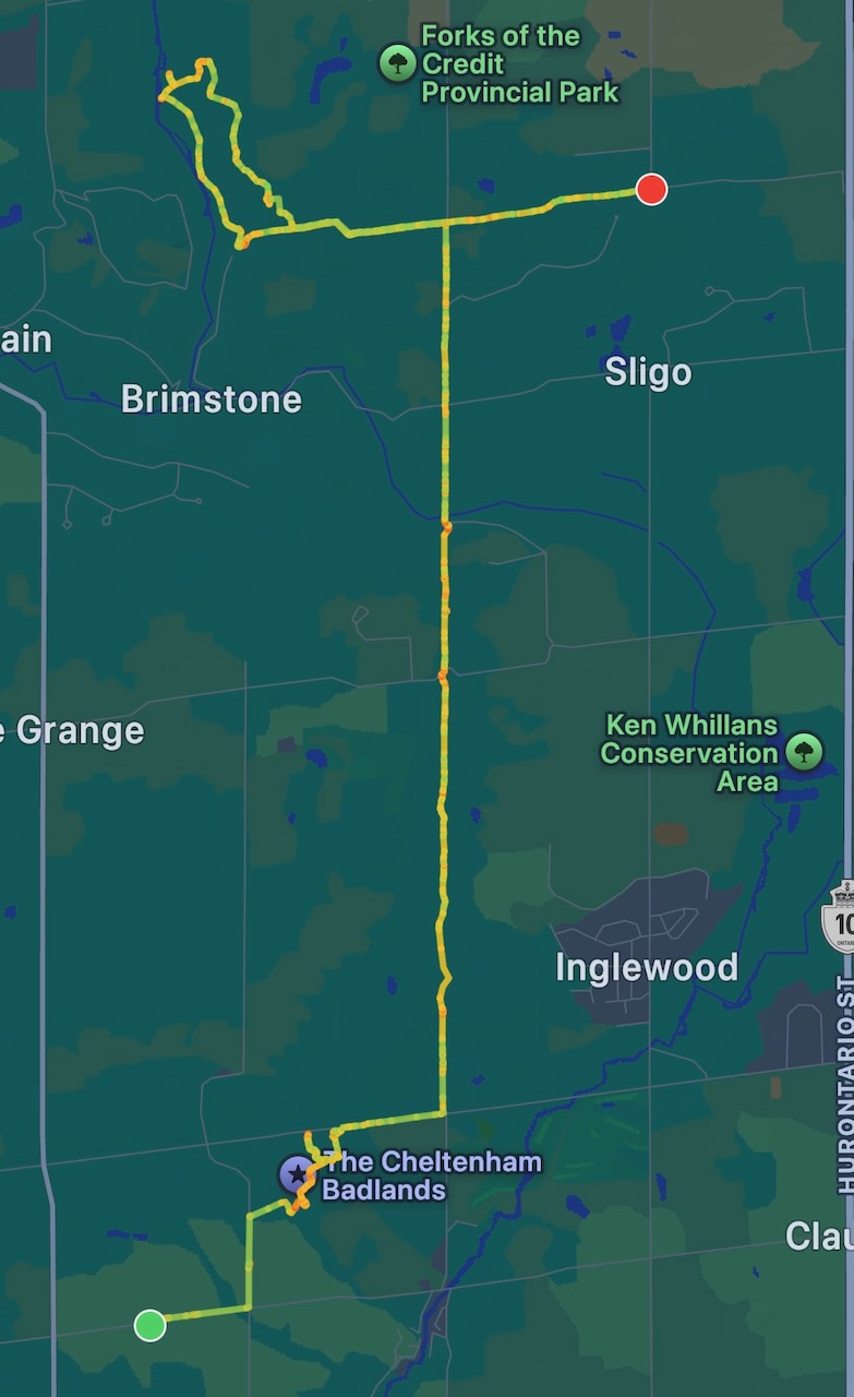
I officially finished the Toronto section when I entered the Cheltenham Badlands. After a few minutes of nothing remarkable I ran into three other hikers going the opposite way. They asked if there was anything interesting in the direction I had come from. I told them no, unless they’re really into apple cider. So they turned around. We walked together for a while, they had come just to see the badlands. Apparently this place is so popular you need a reservation for a parking spot, and you get only a certain amount of time. It’s lucky I finished at the Cidery last time, as this is where I would have tried to park otherwise. I would probably just have shown up without a reservation and had a problem. They told me that I should leave the main trail to see the badlands properly. They were right. If not for them, I would probably not have seen the badlands. Good people.

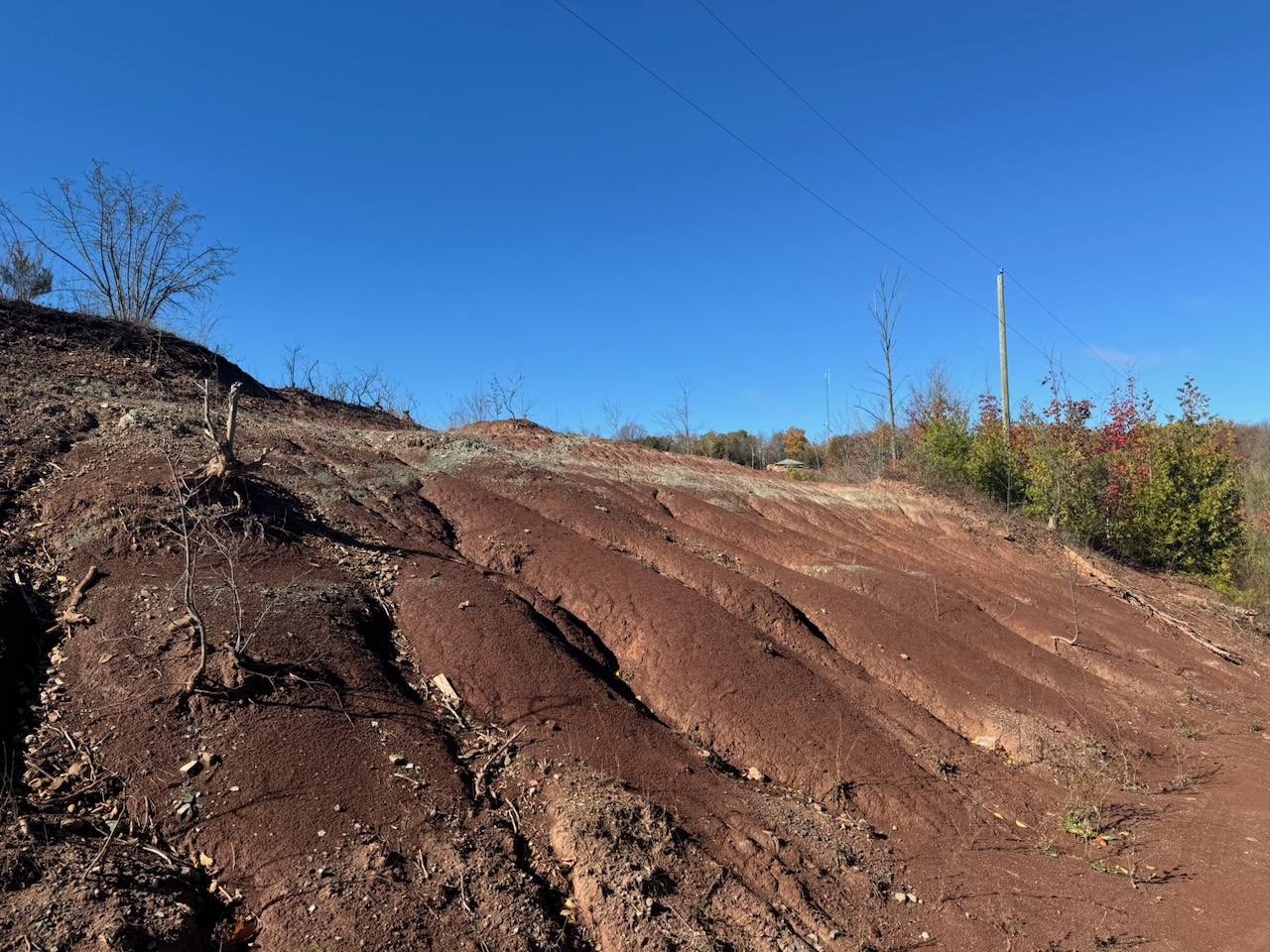
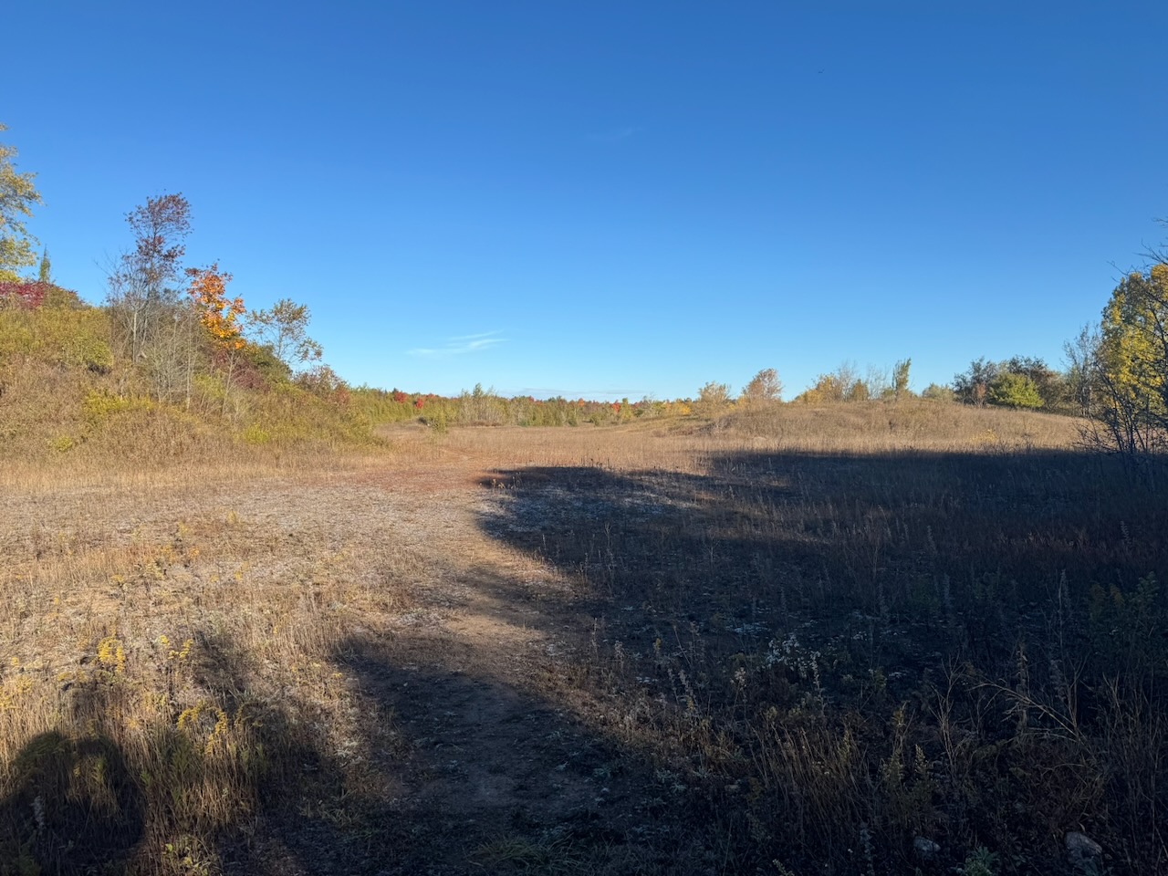
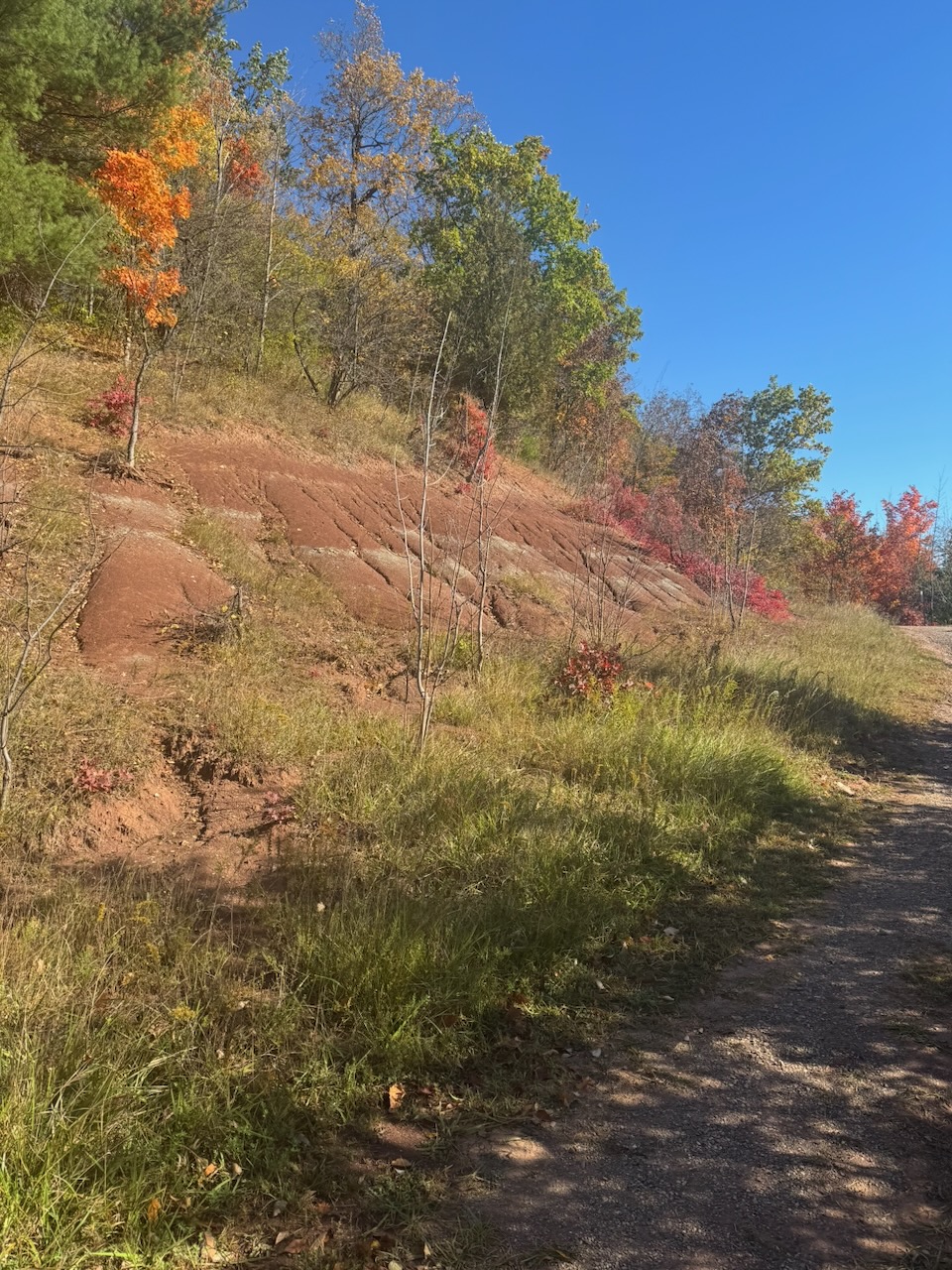
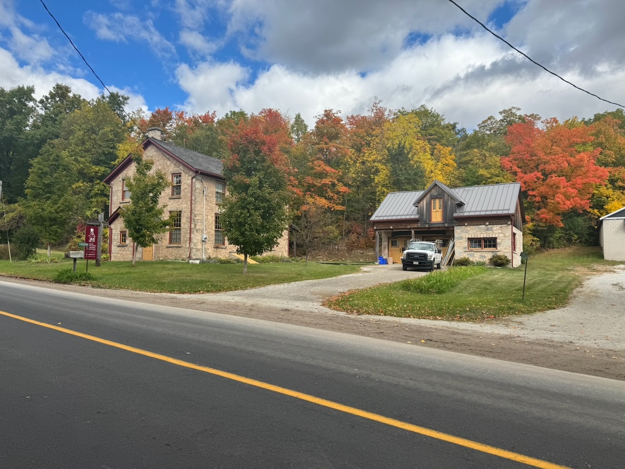
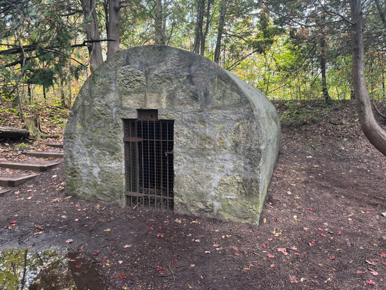
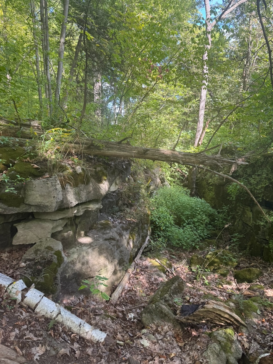
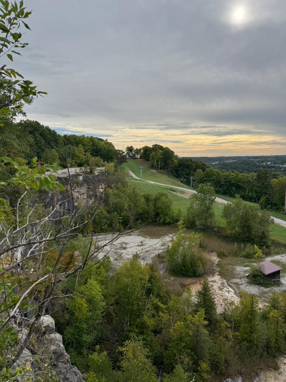
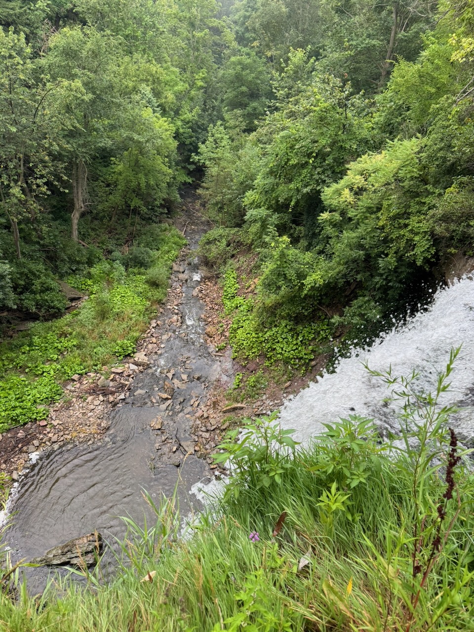
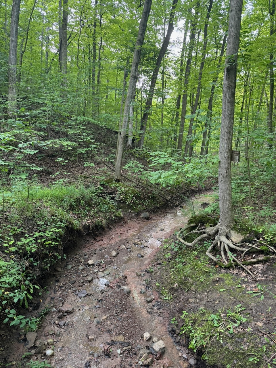
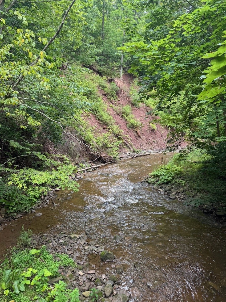
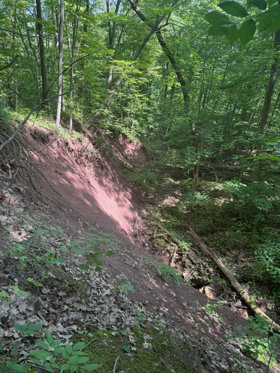
The badlands are… fine. It’s maybe one or two acres of reddish clay “dunes” with streaks of grey shale. They are so popular that you need the aforementioned parking reservation, and they have security staff on site to enforce it. There’s a guy who has a house right next to it and has a “Parking $20, No Reservation” sign out front. When I went past his house later in the day his entire lawn was filled with cars, he must be making thousands on a weekend. I’ve seen way cooler stuff than this on the trail so far, but I guess they’re unusual. One fun fact: The similarity in colour of the badlands to Queen’s Park is no coincidence. The stone used to build the Ontario legislature came from this area.

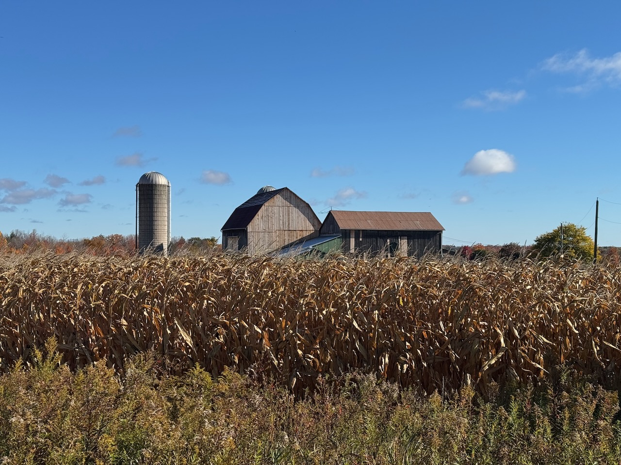
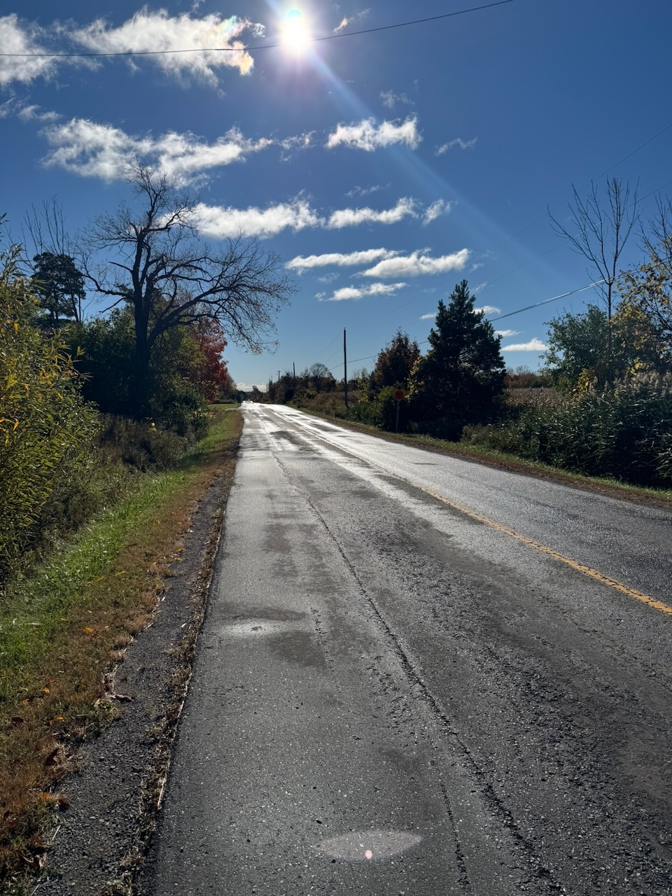
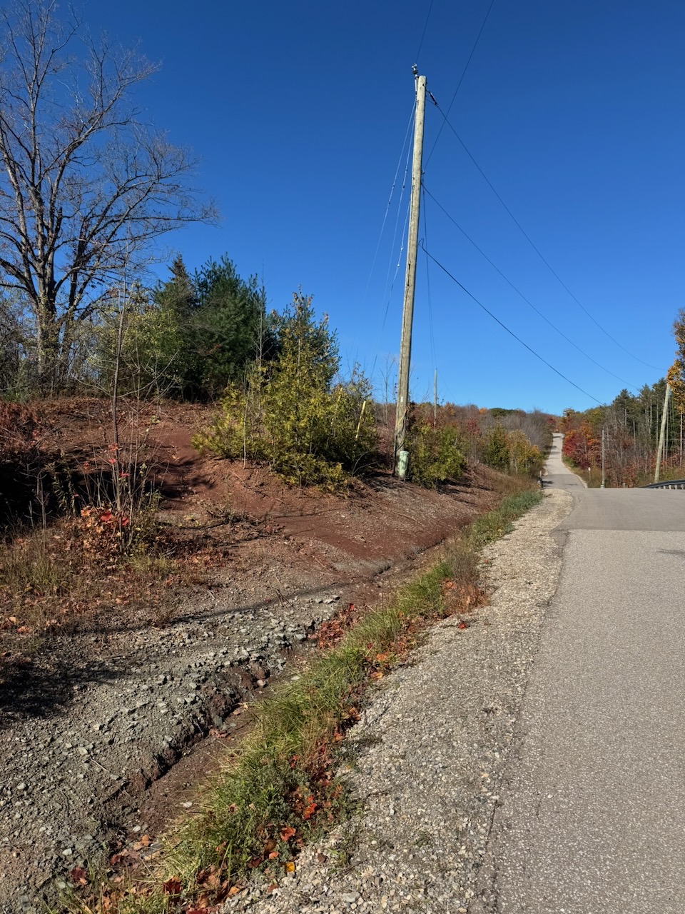
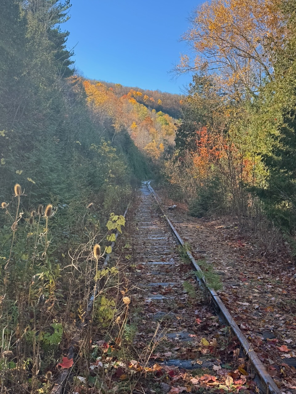
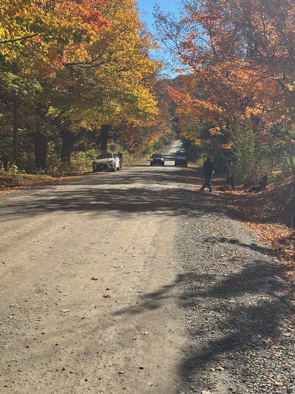
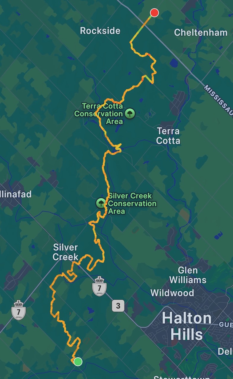
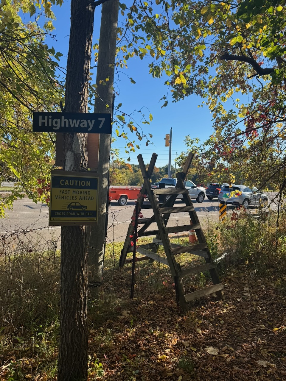
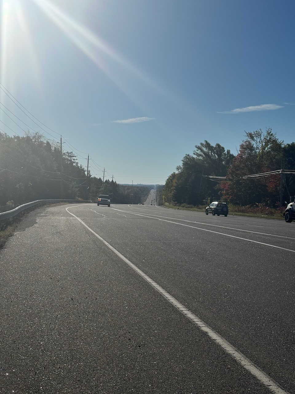
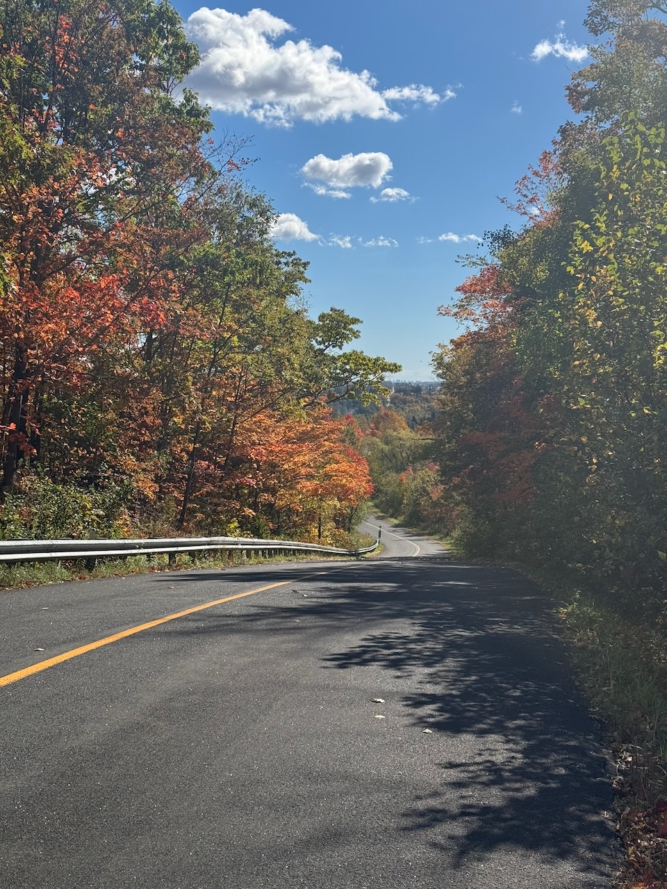
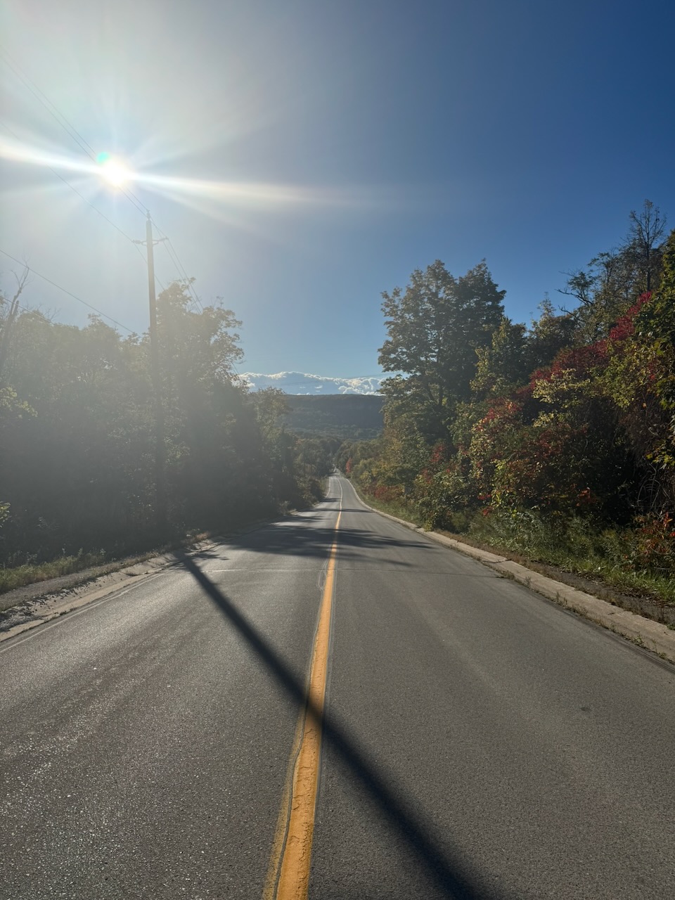
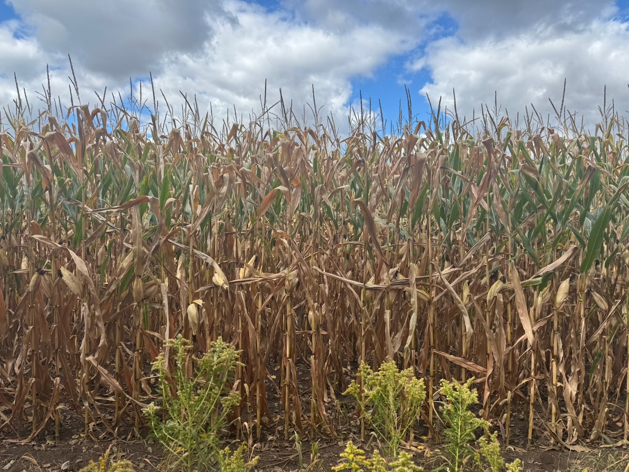
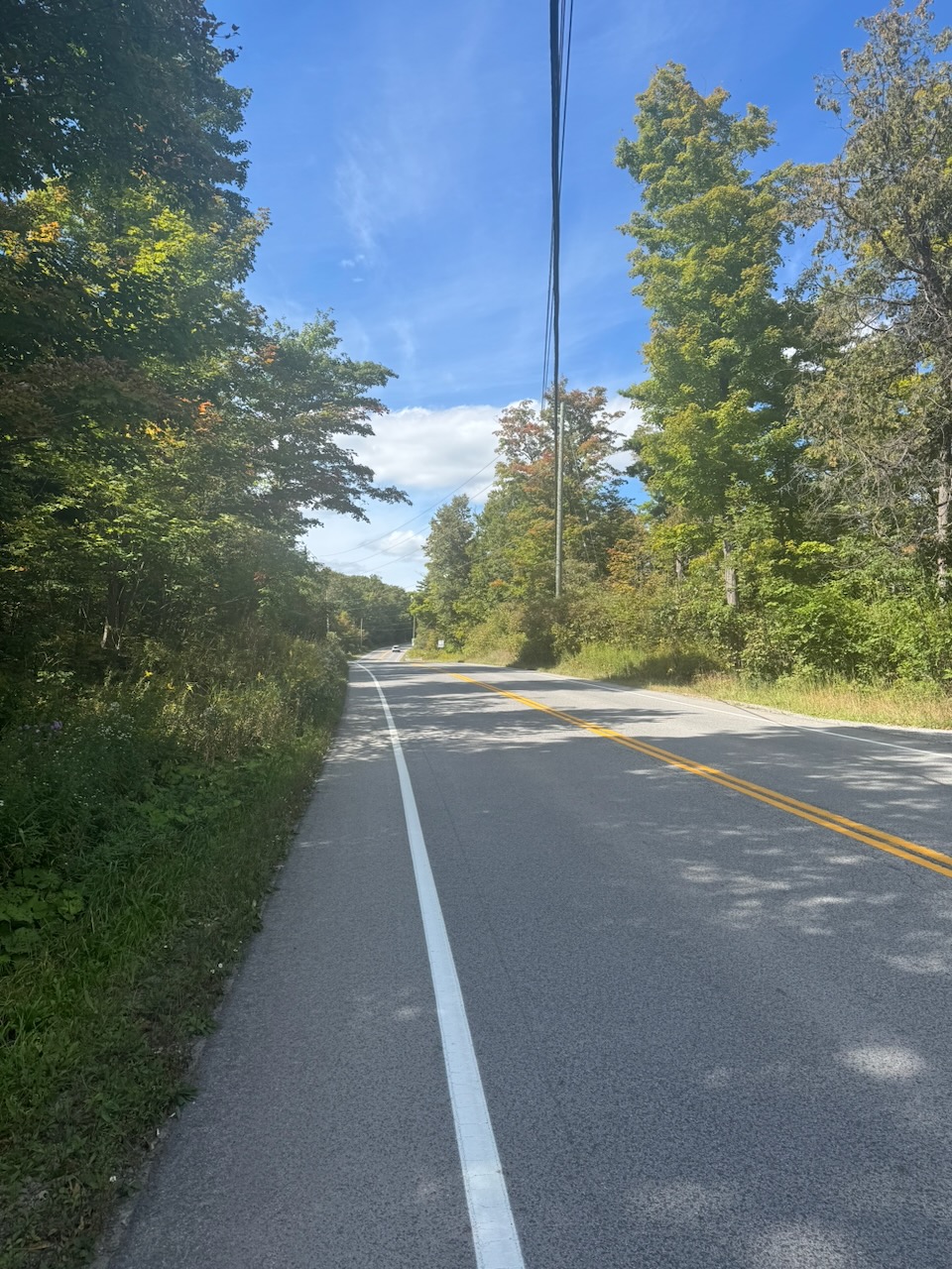
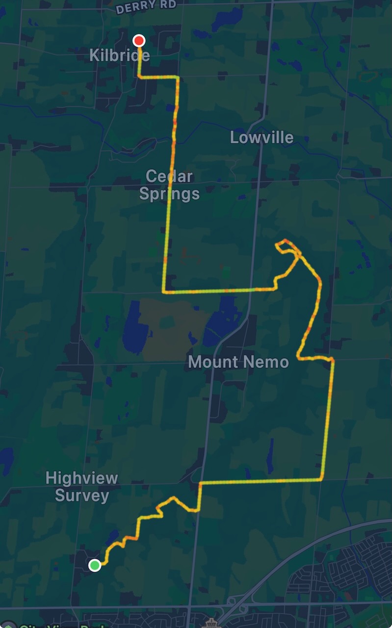
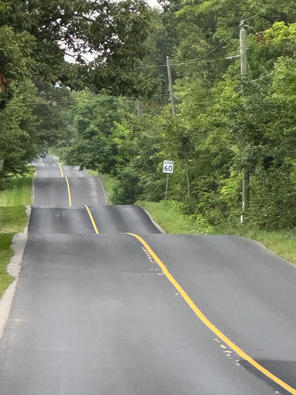
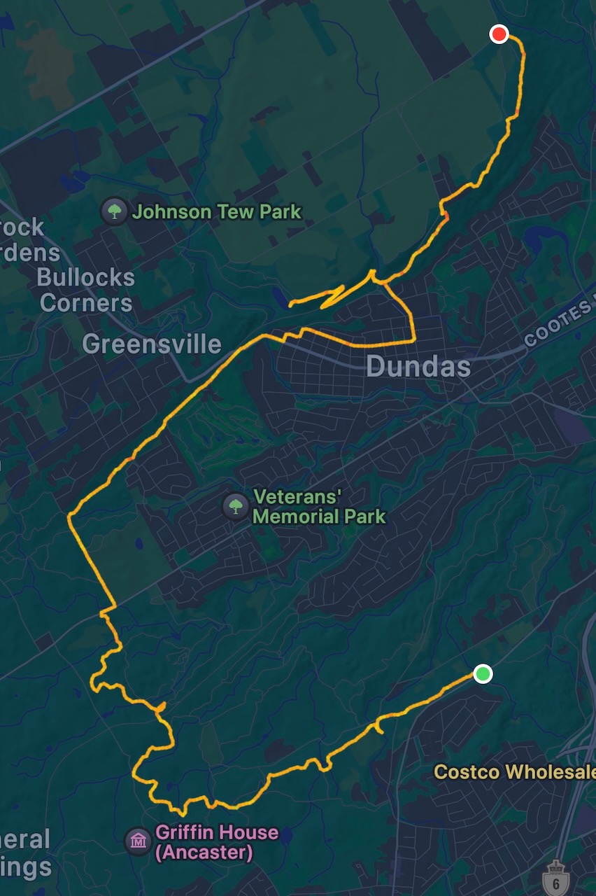
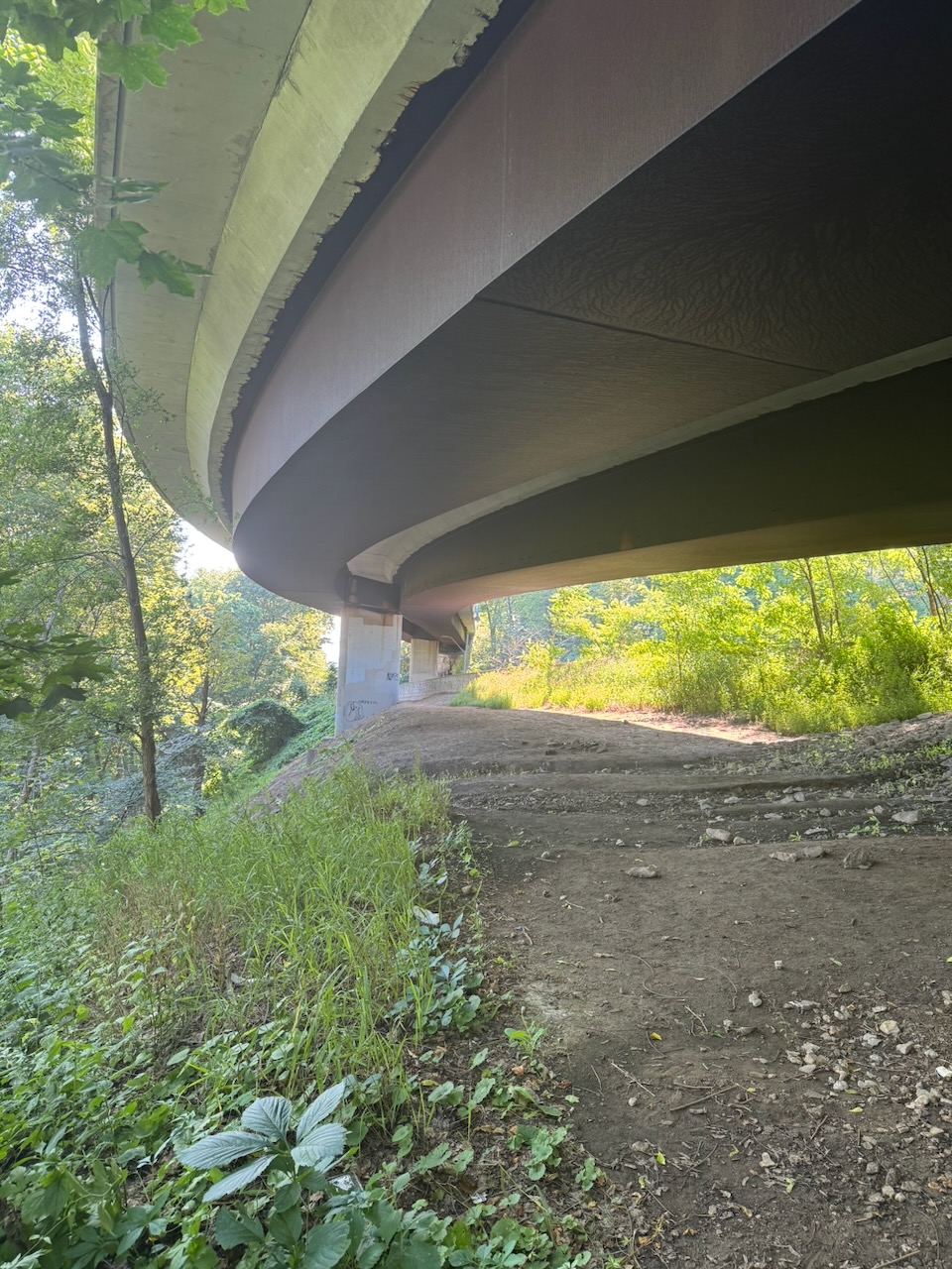
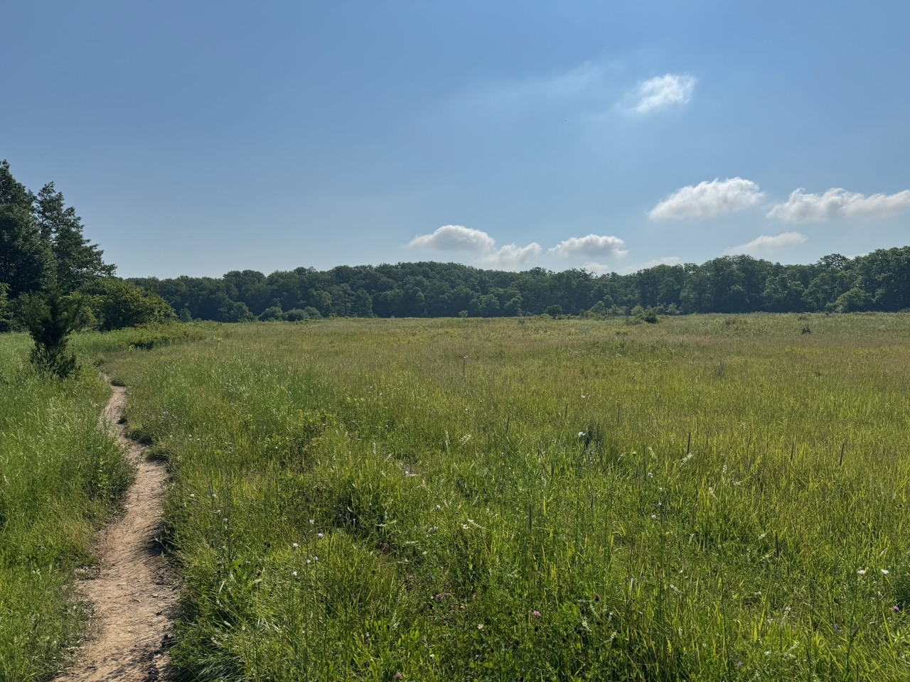
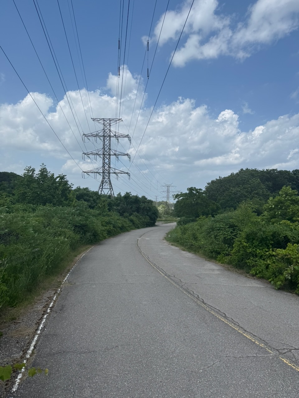
The long straight section you can see in the route is not all on roads. Some of it was though. On one of the roads I saw lots of parked cars and lots of people out taking selfies. I was excited, something interesting ahead! Nope. Near as I can tell they were out looking at the fall leaves. I couldn’t see anything remarkable about the particular area they were in. They were literally taking selfies with trees, not even remarkable ones either. Maybe it’s on some list of “fall colours” drives or something.

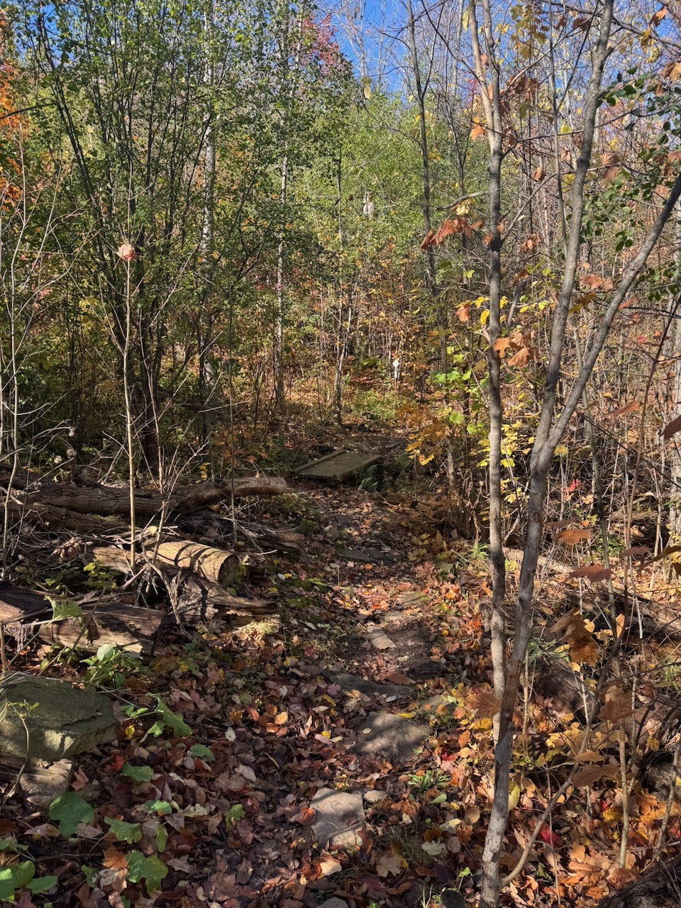
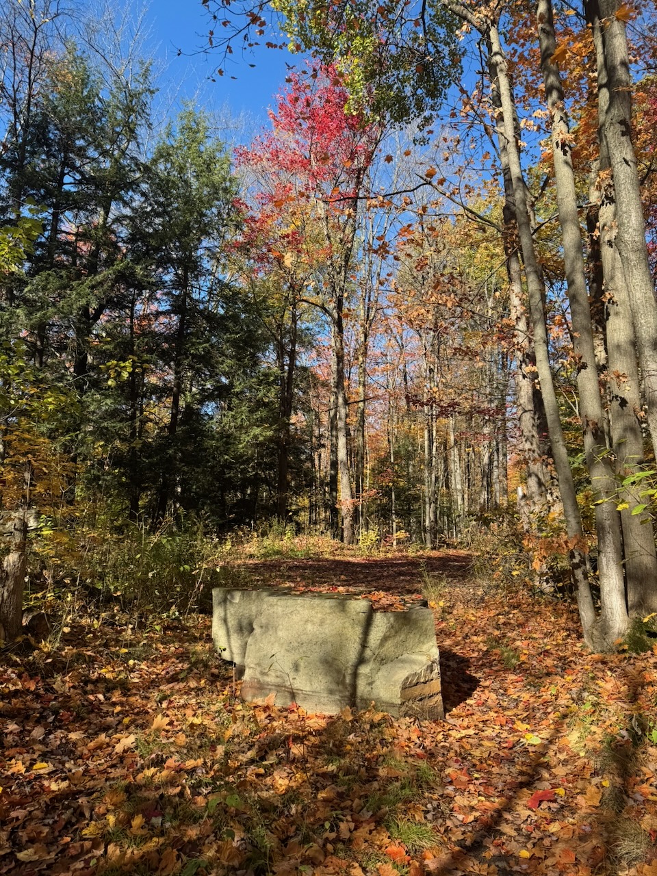
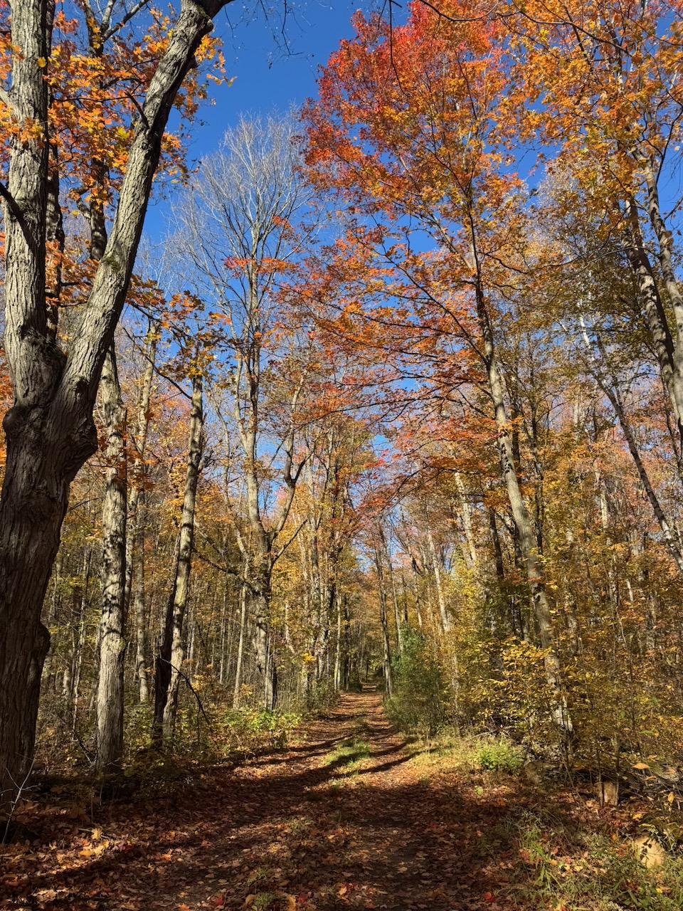
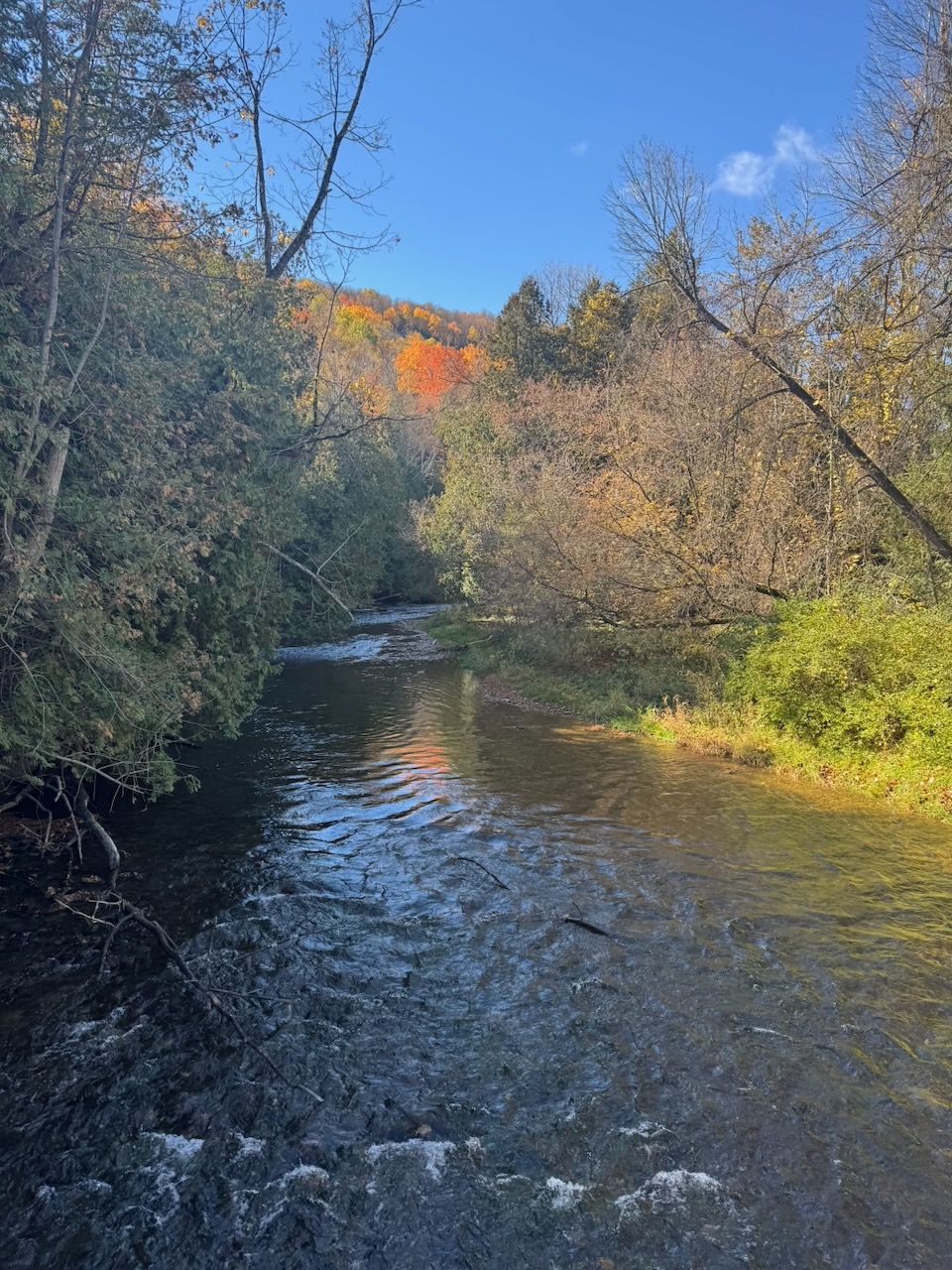
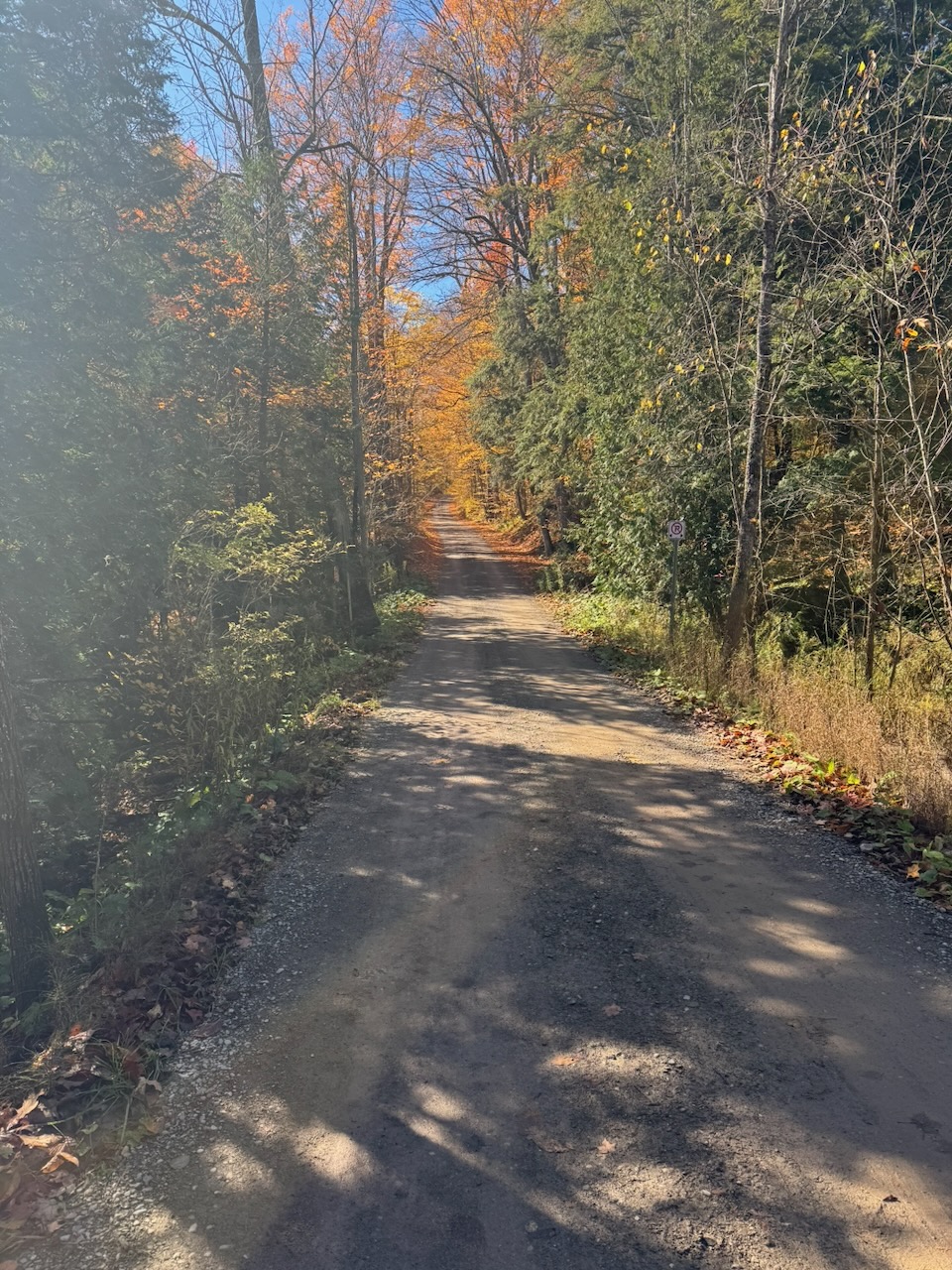
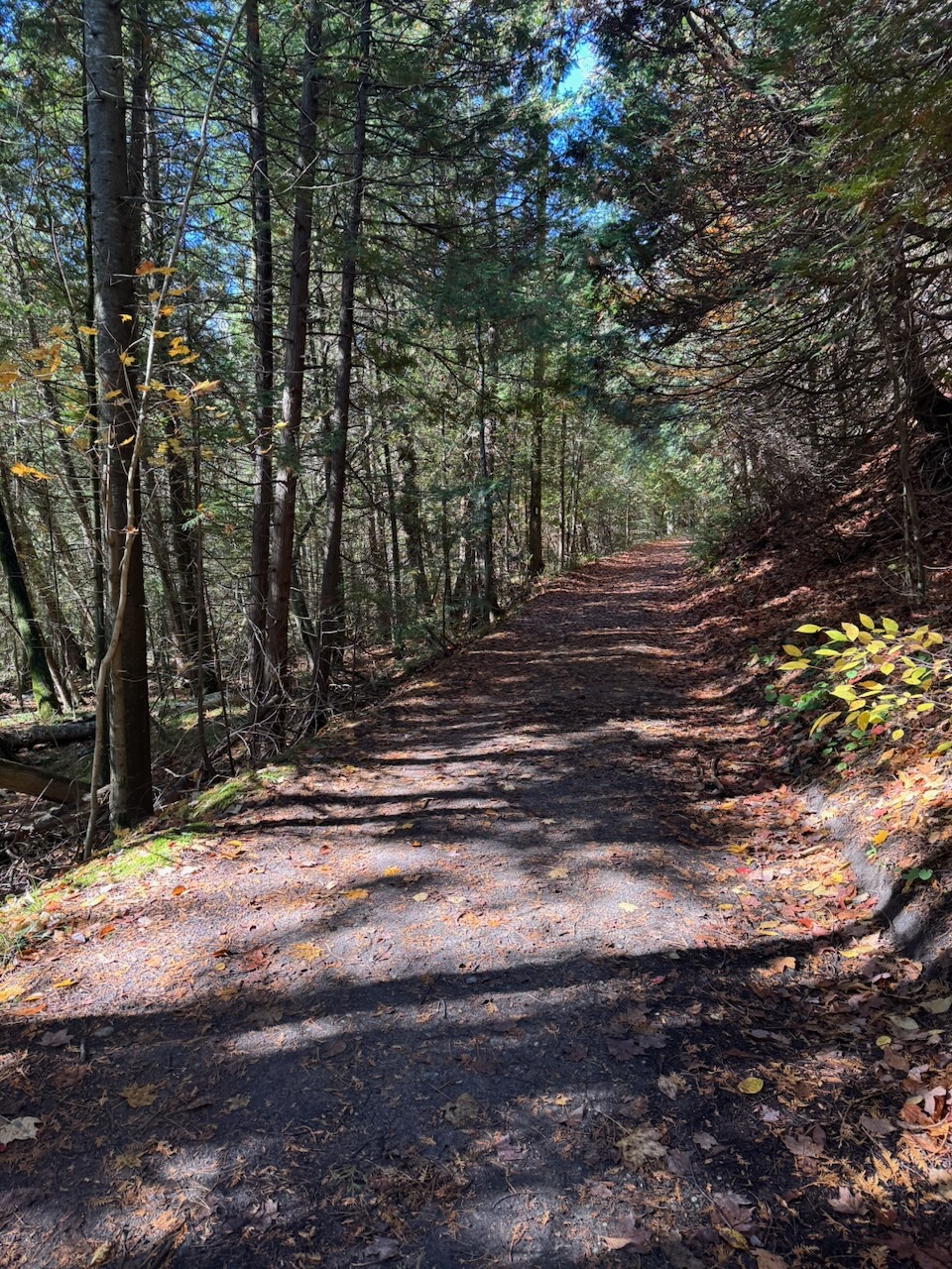
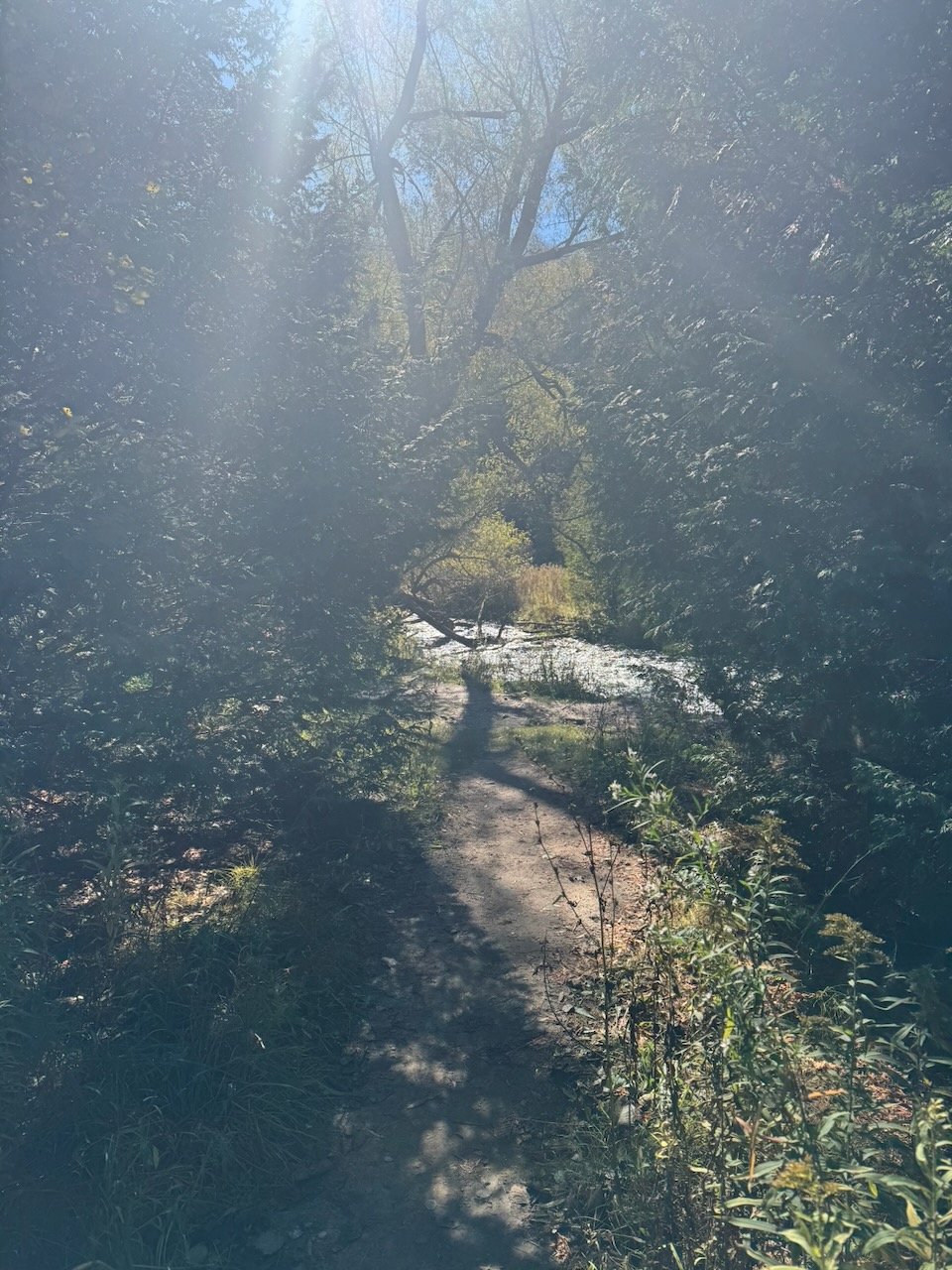
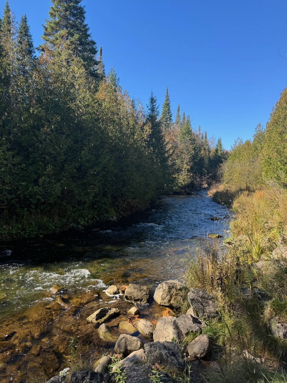
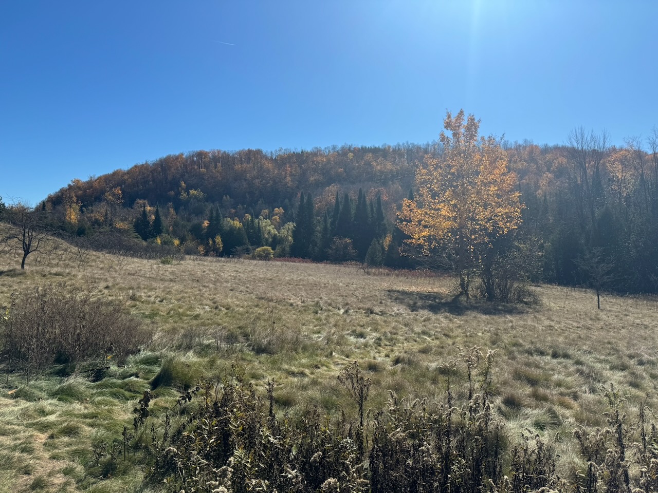
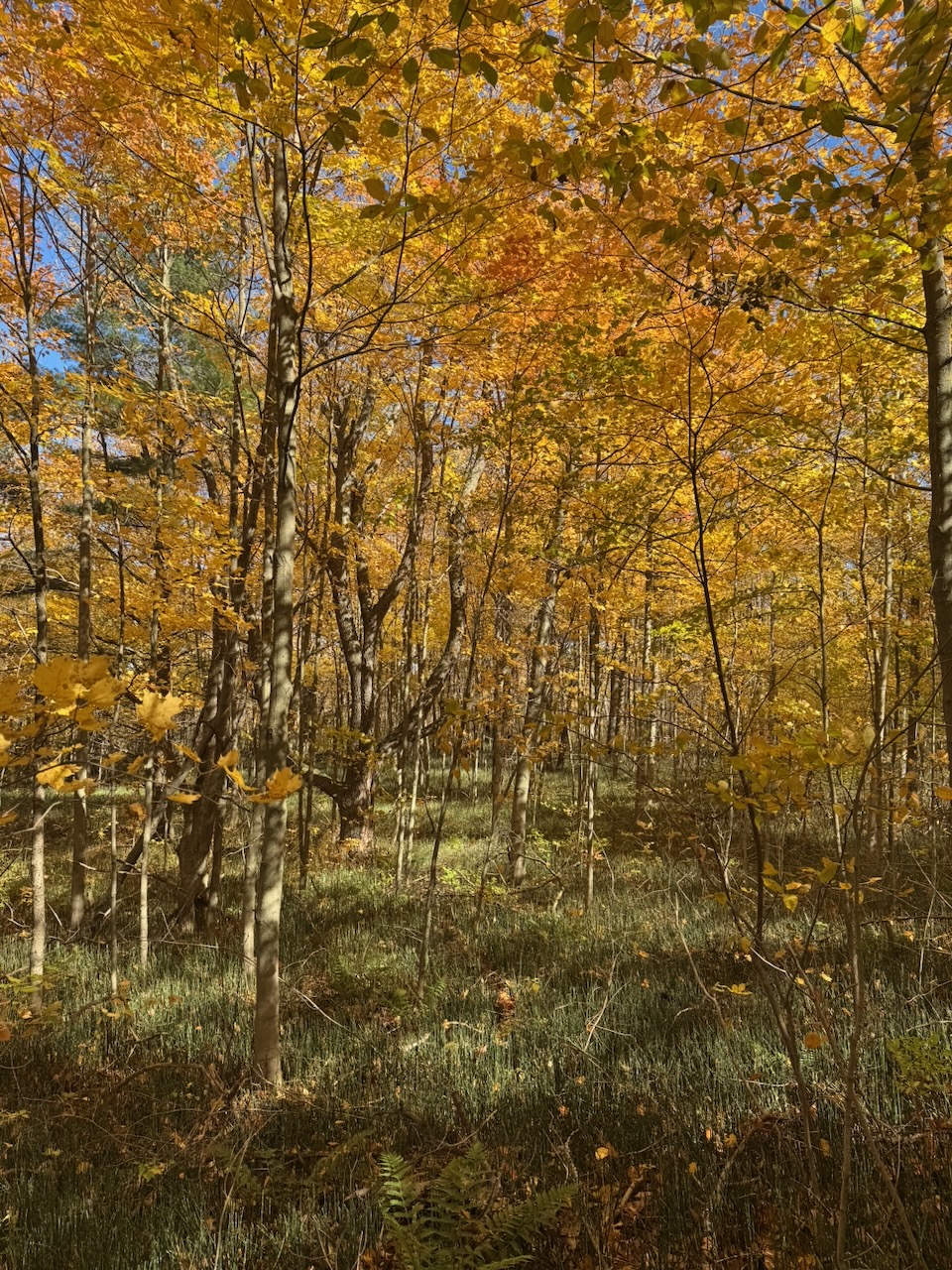
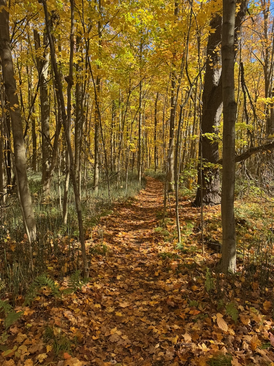
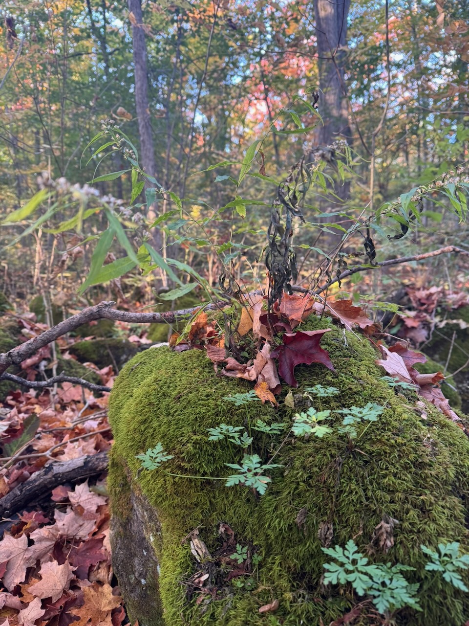
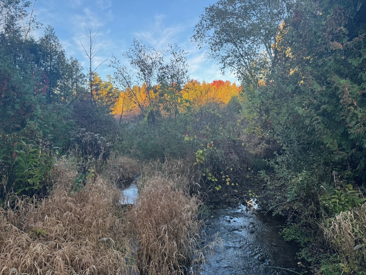
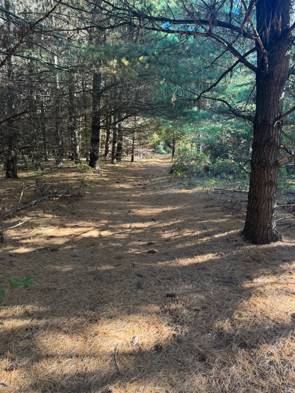
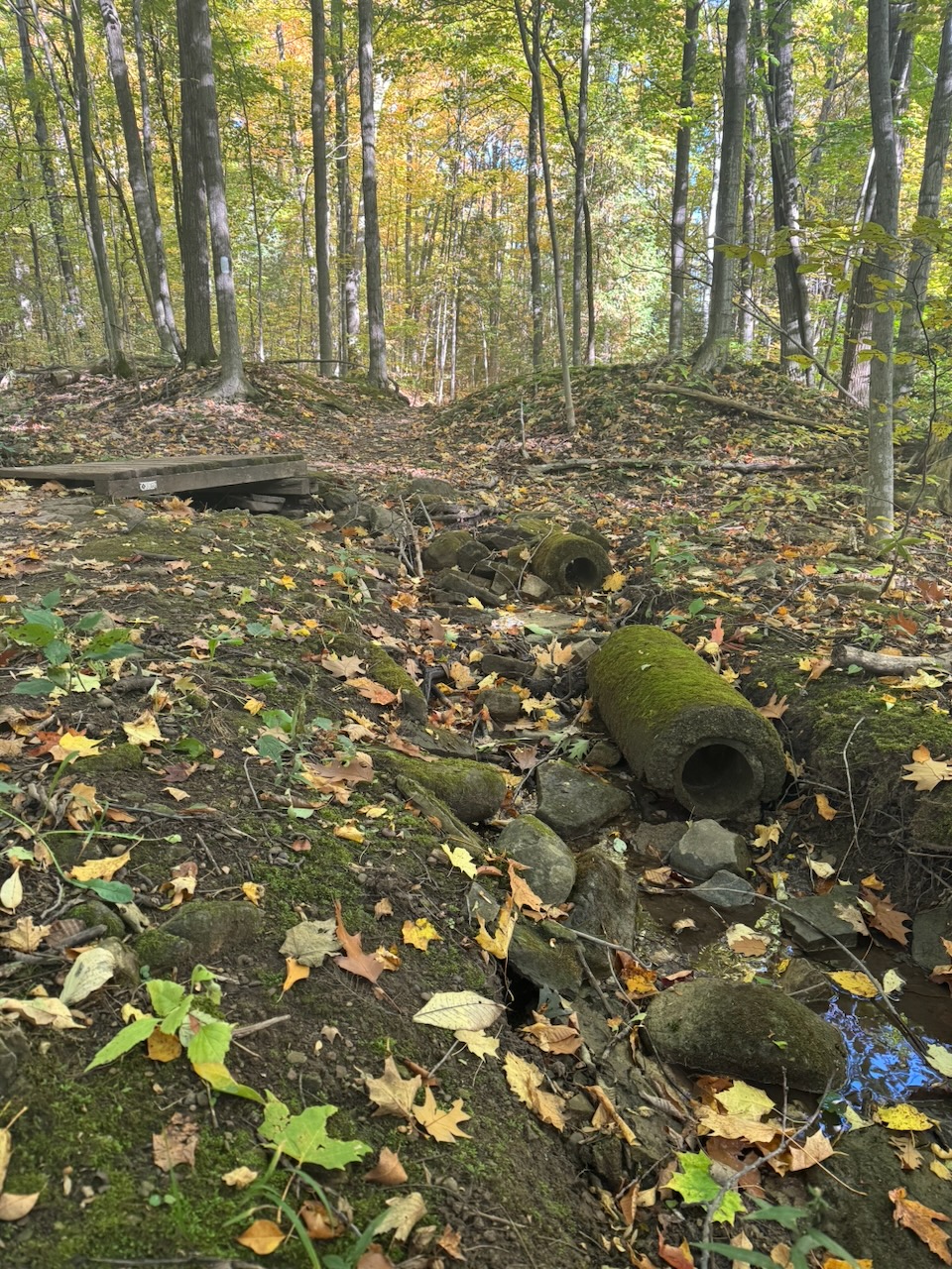
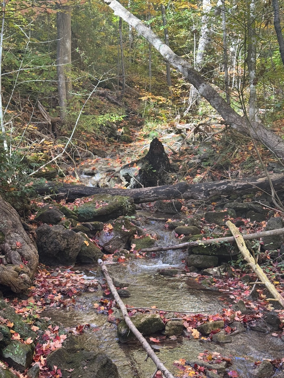
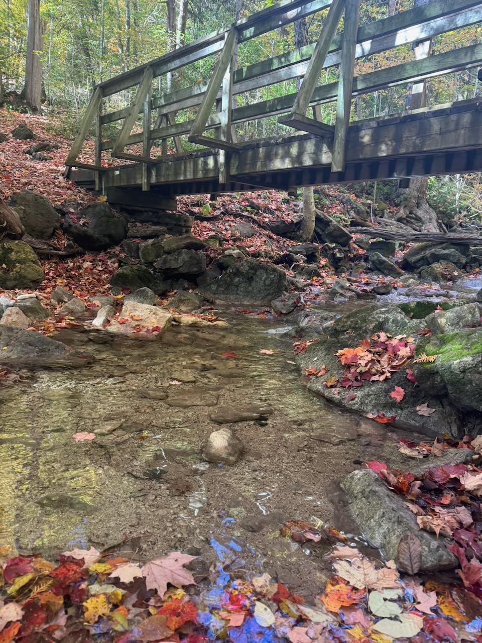
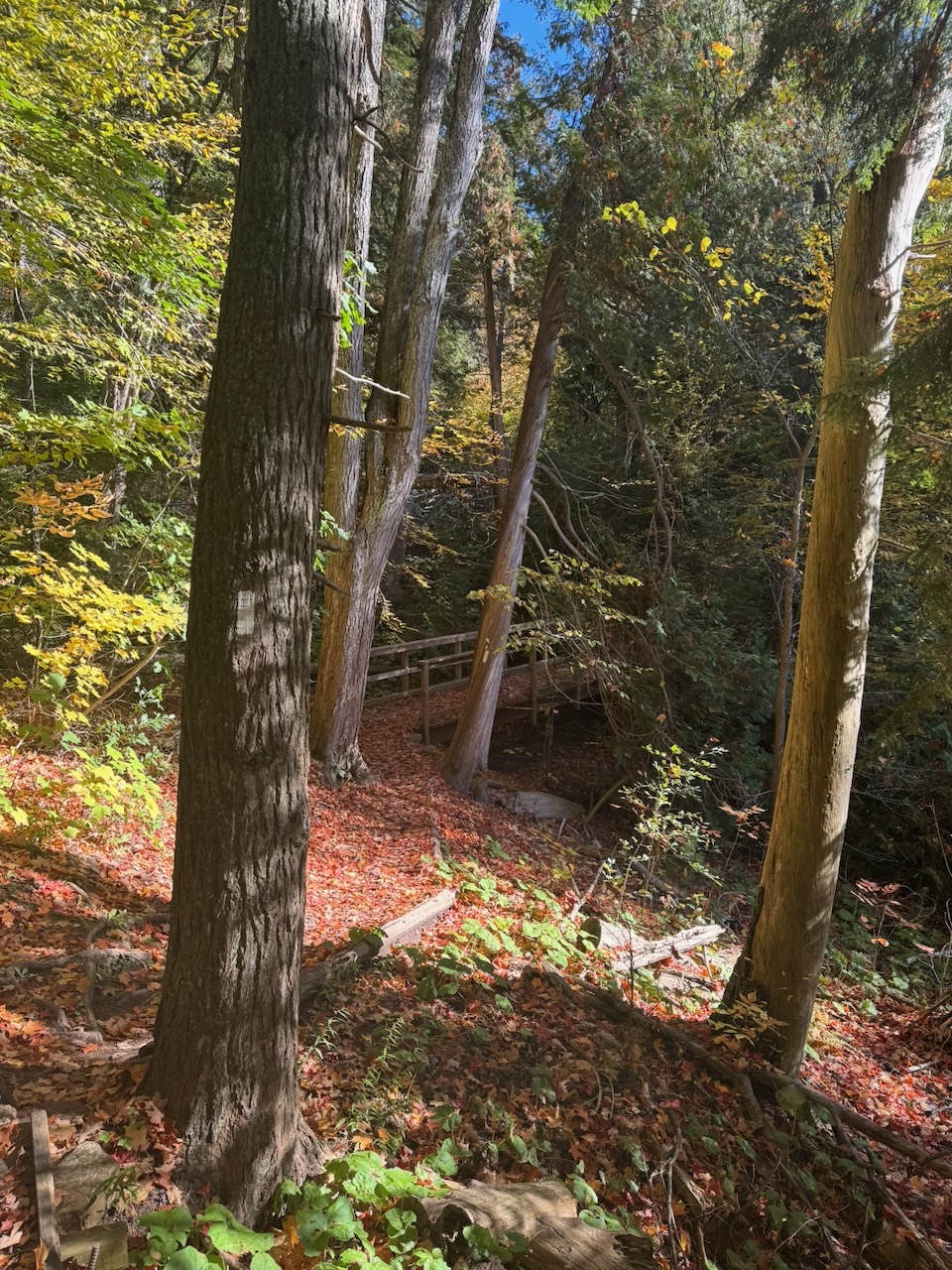
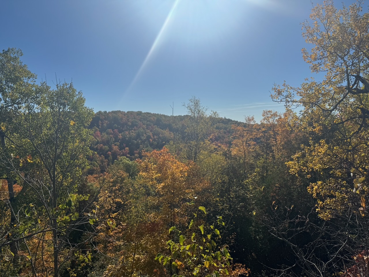
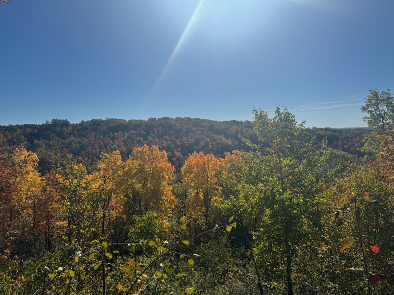
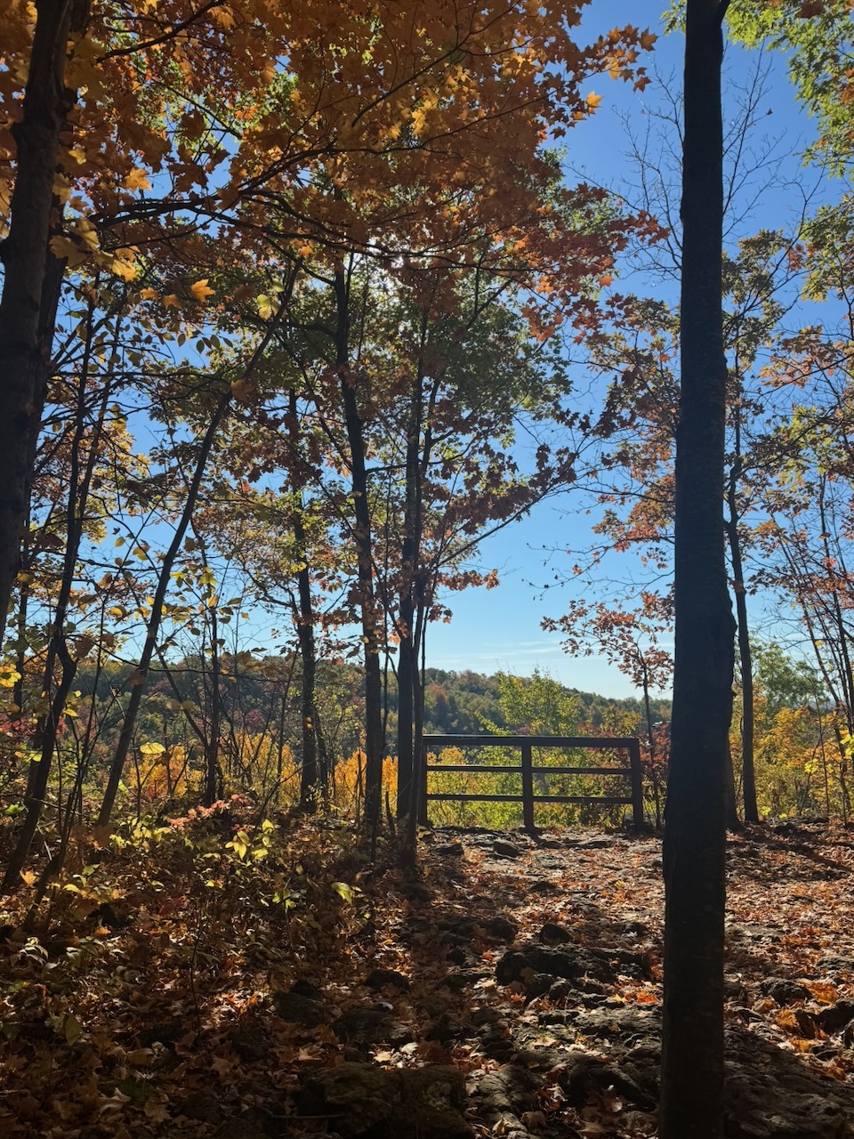
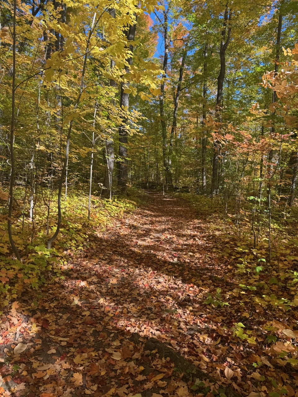
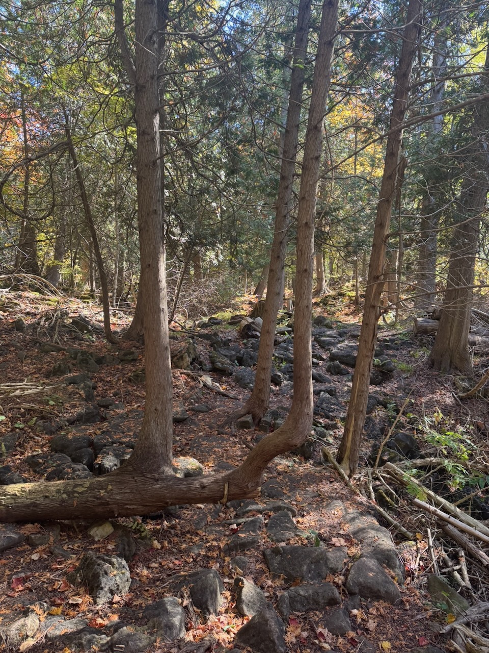
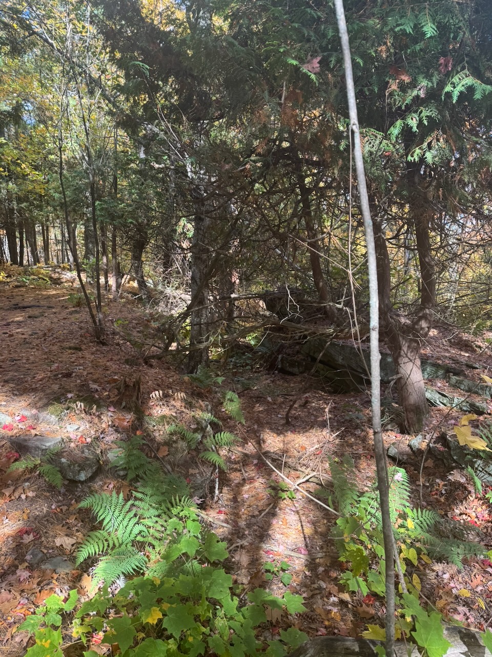
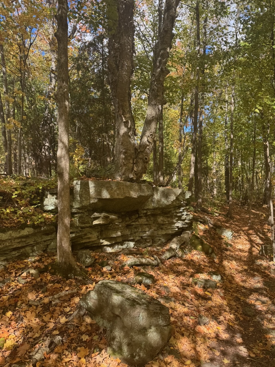
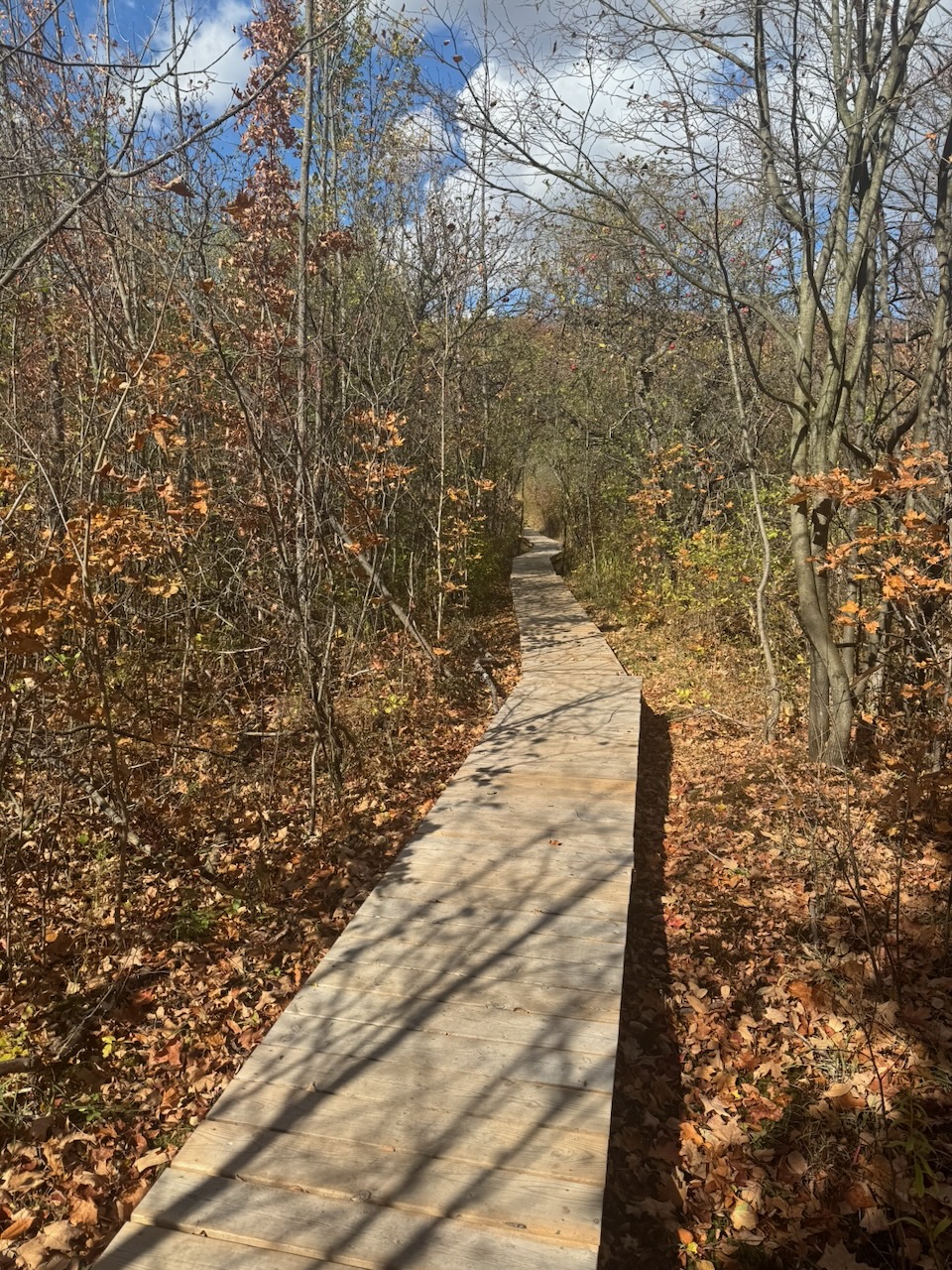
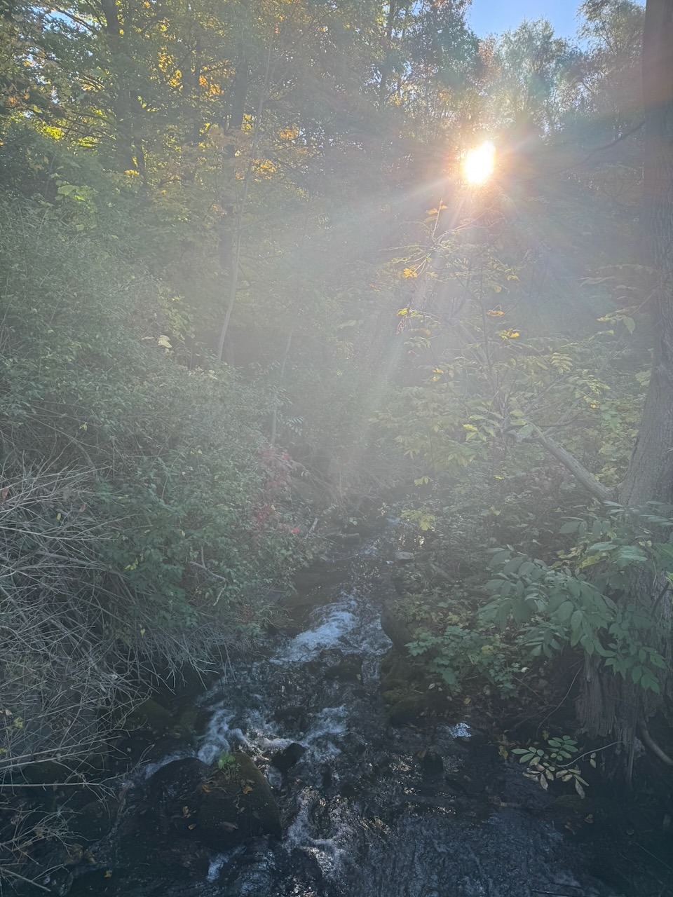
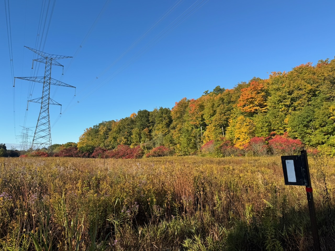
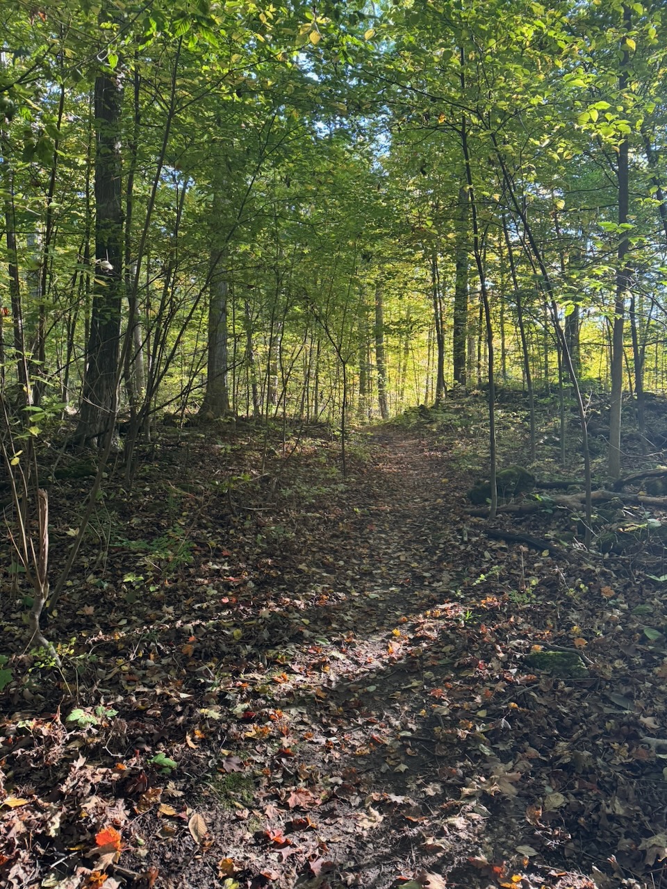
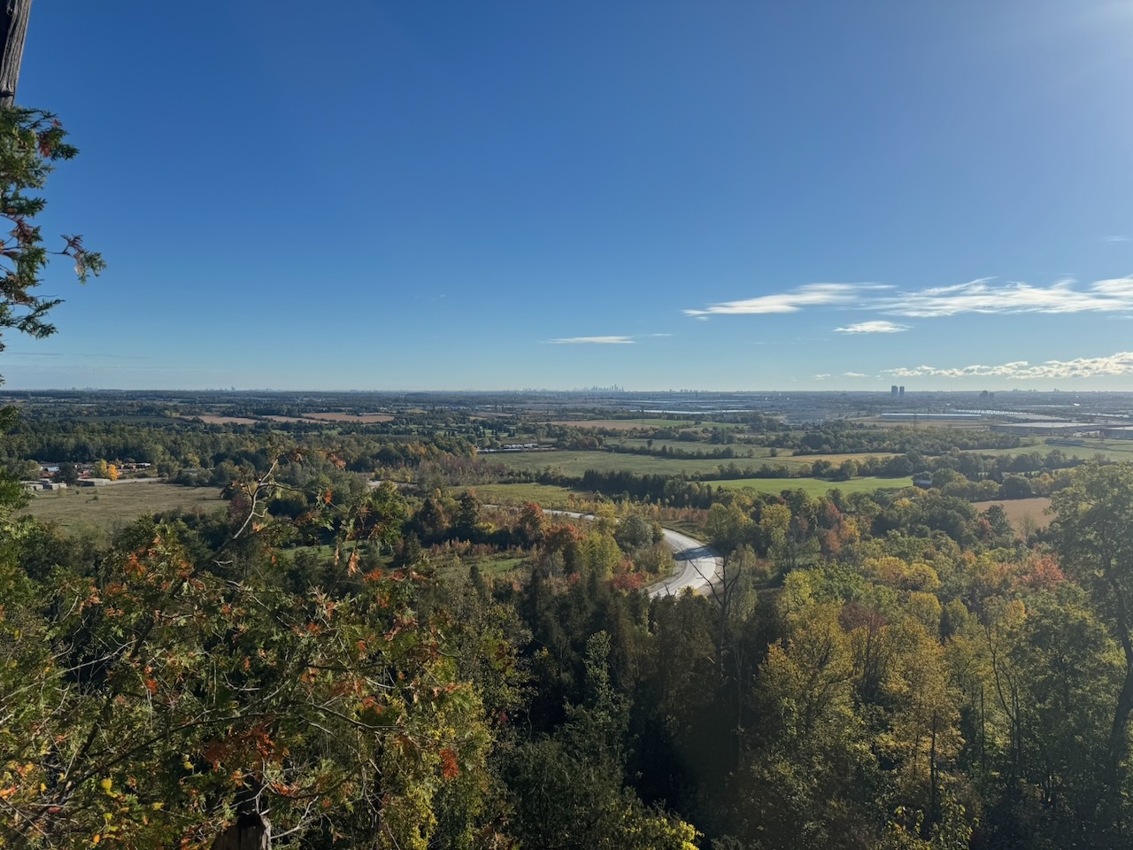
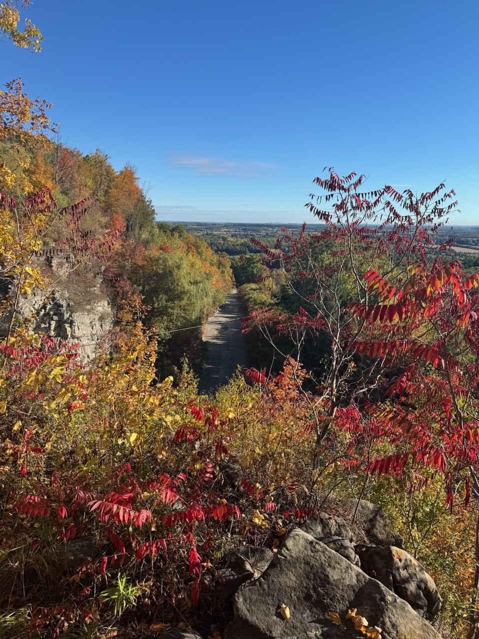
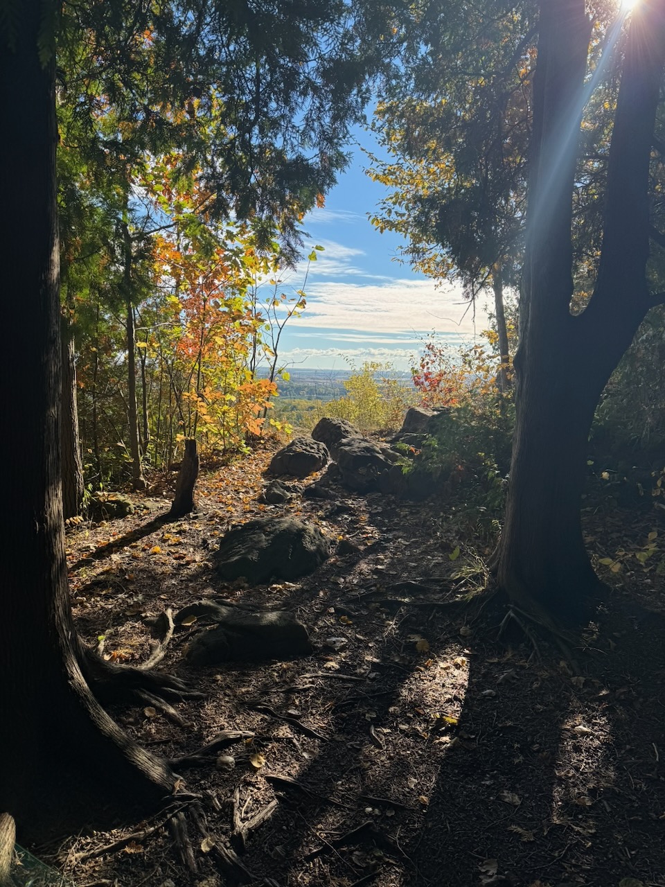
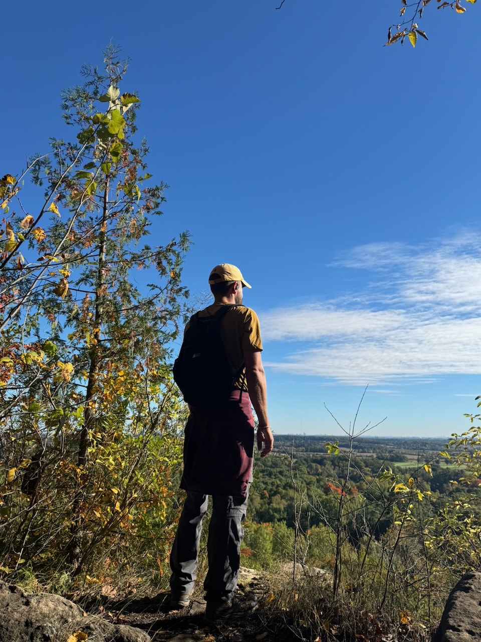
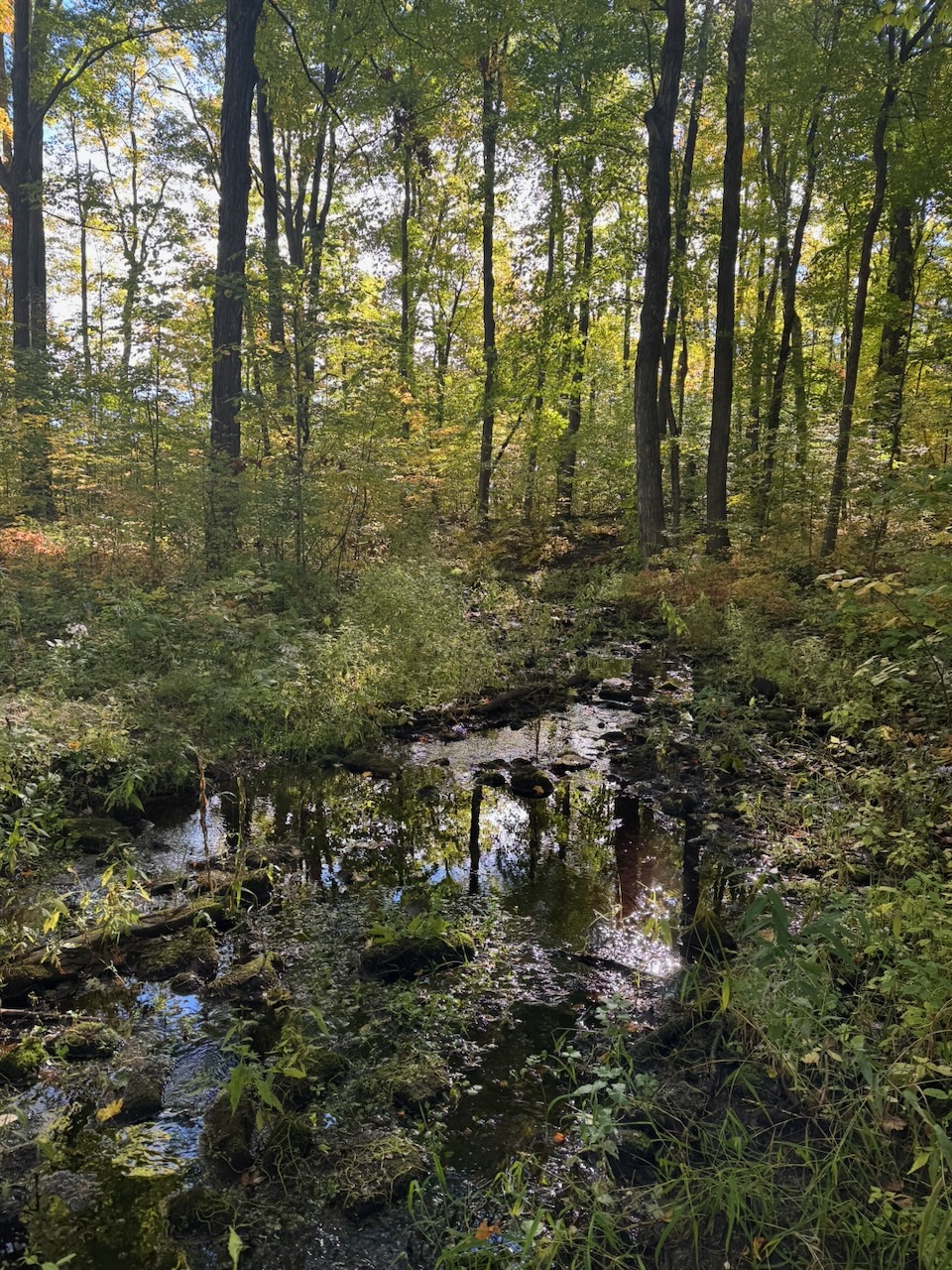
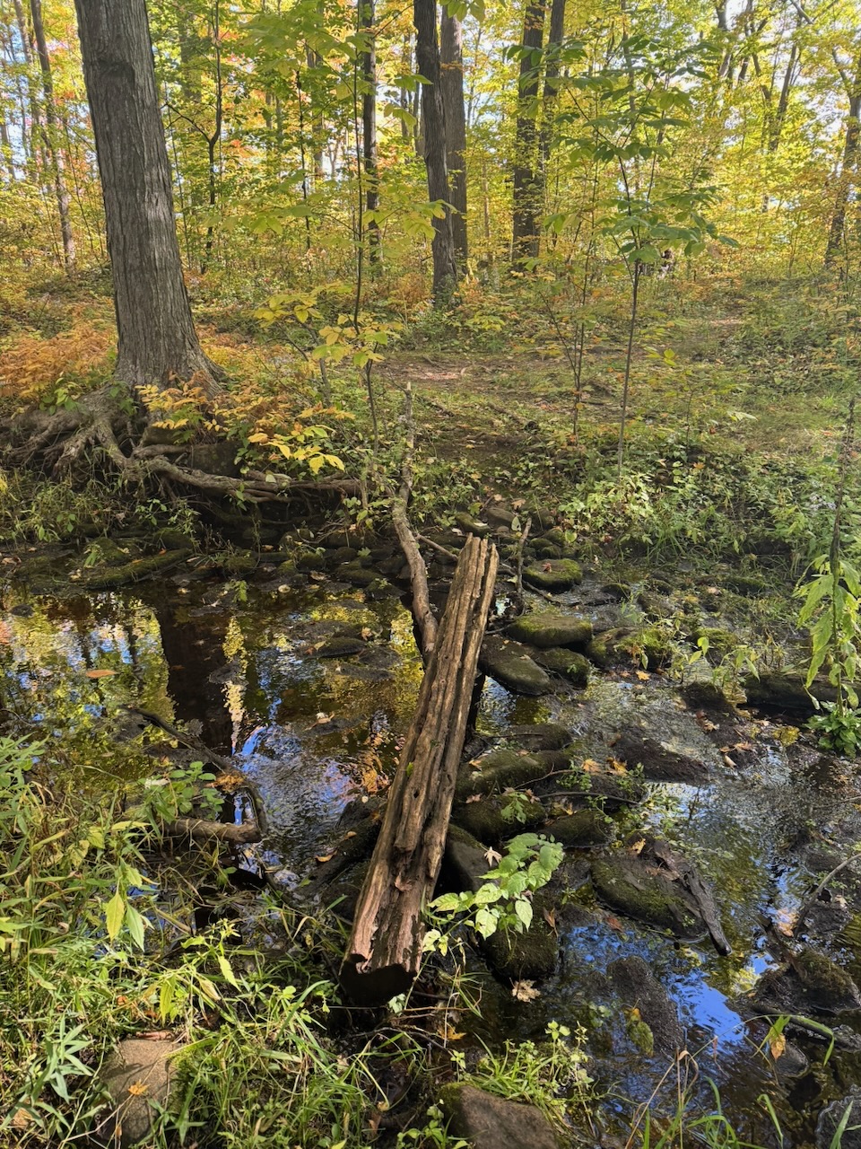
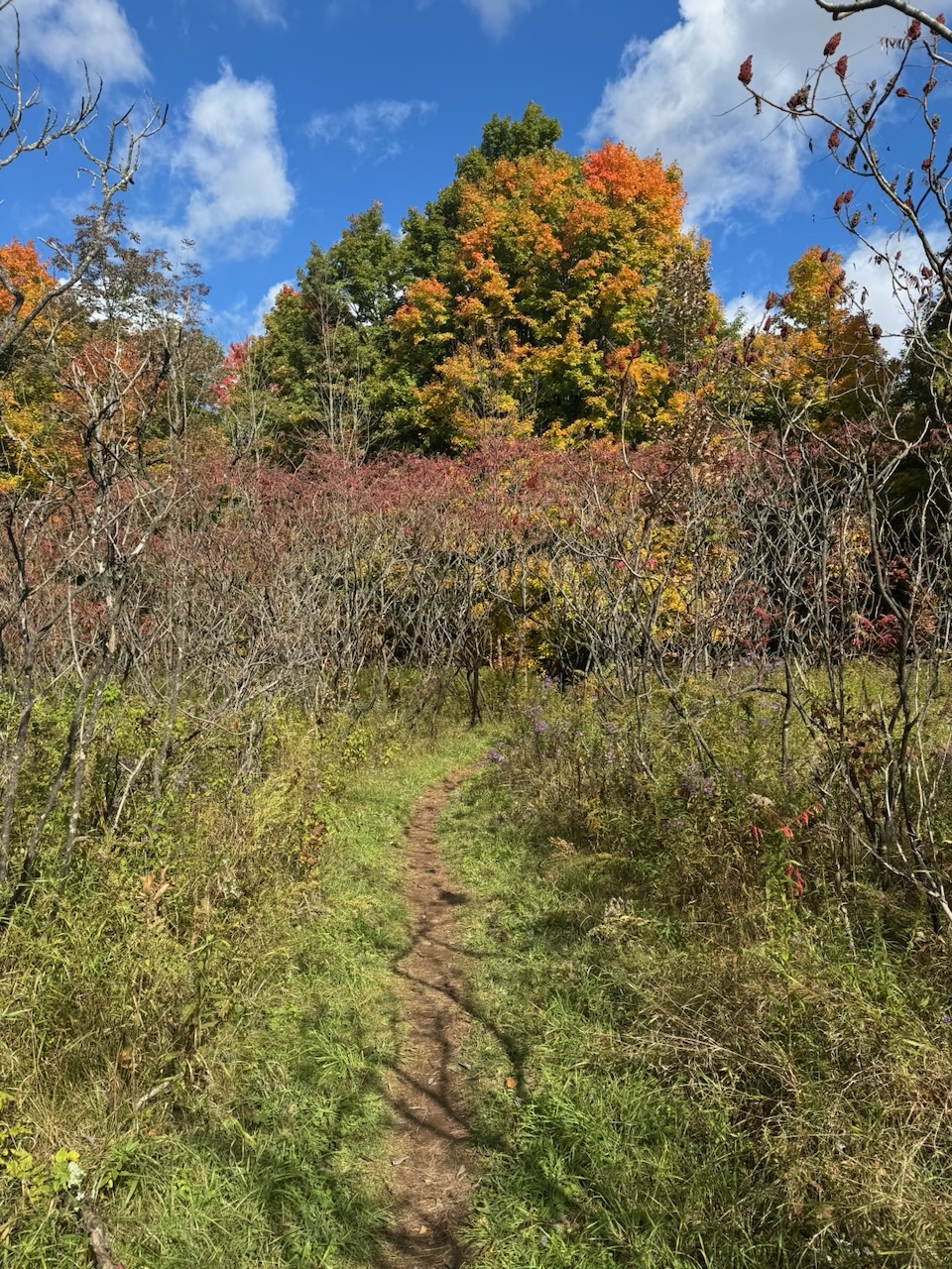
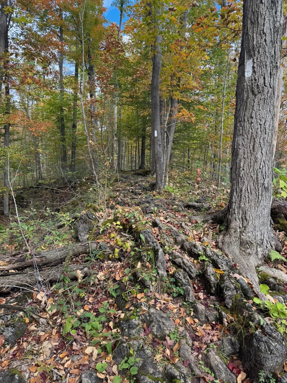
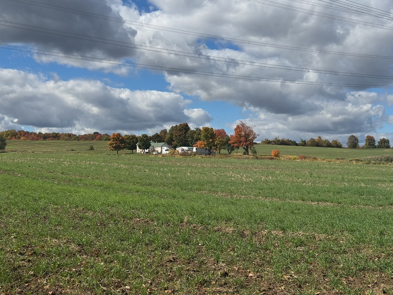
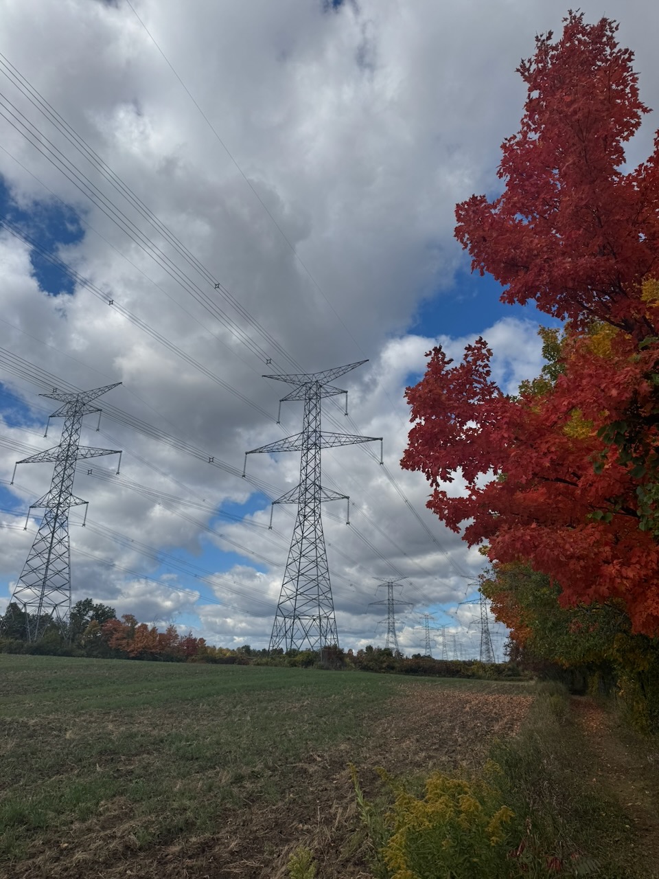
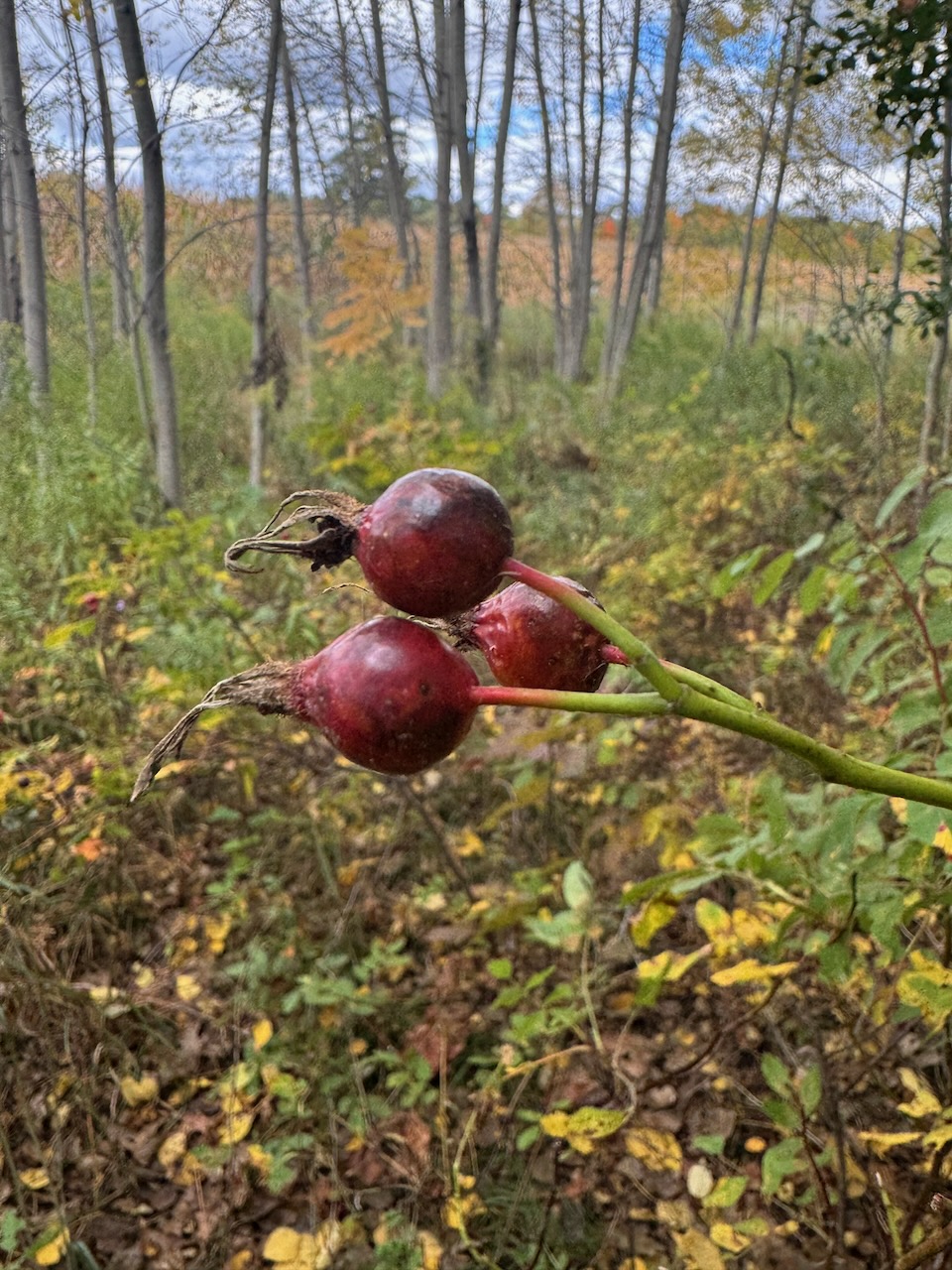
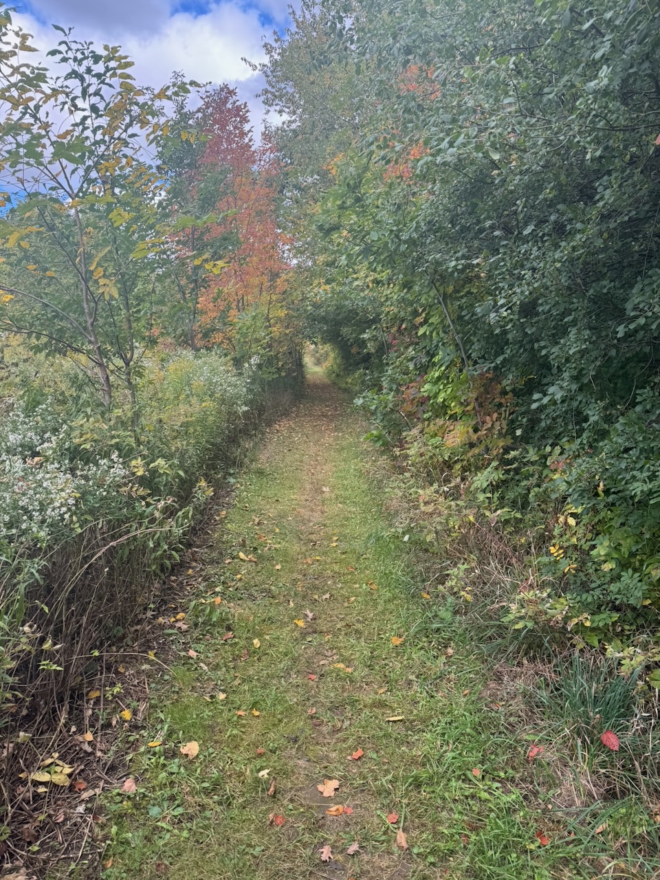
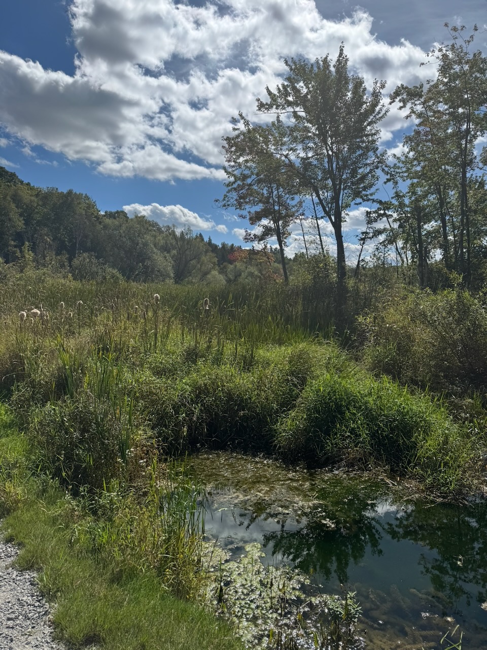
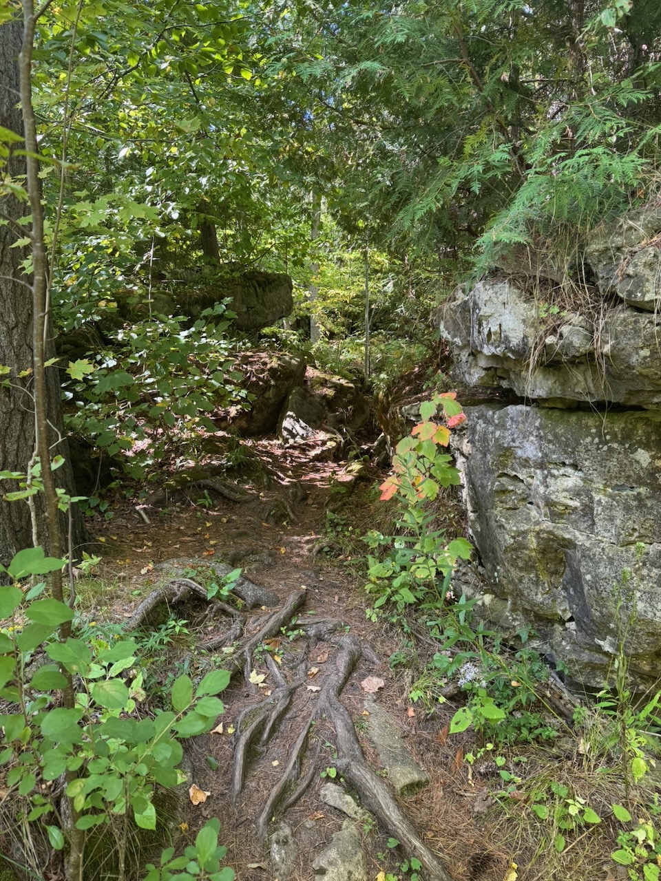
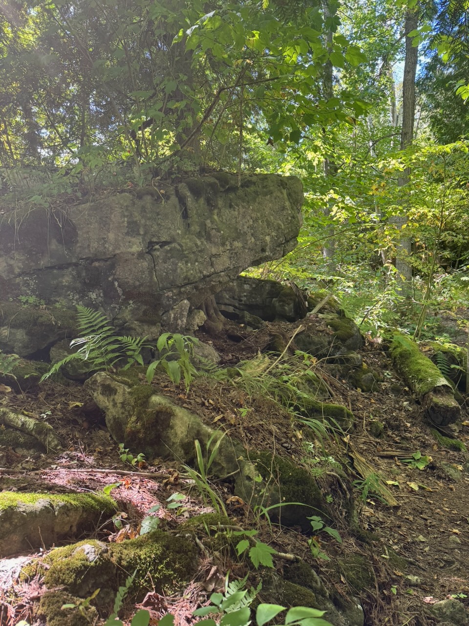
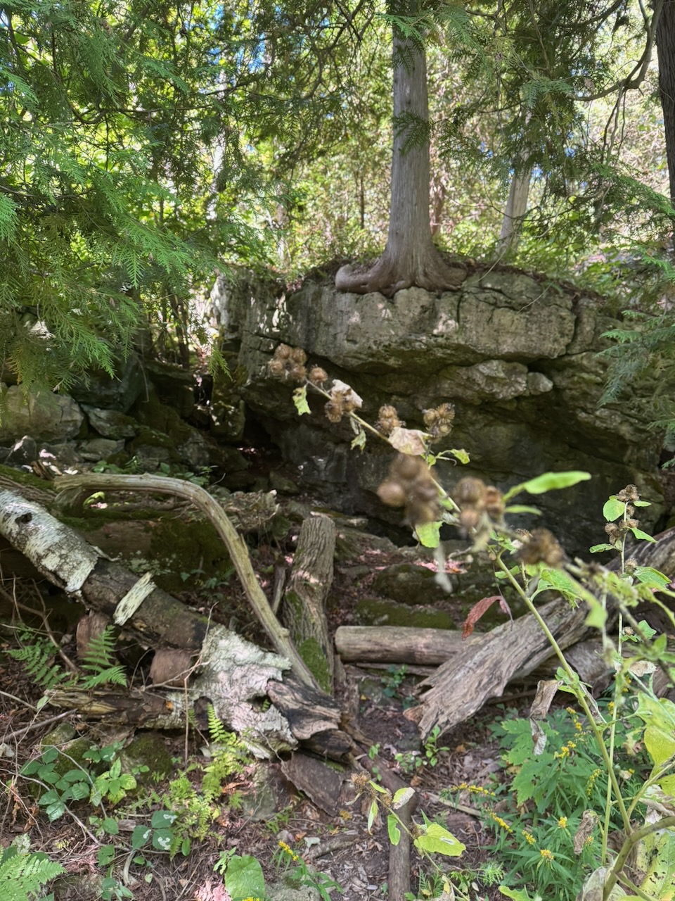
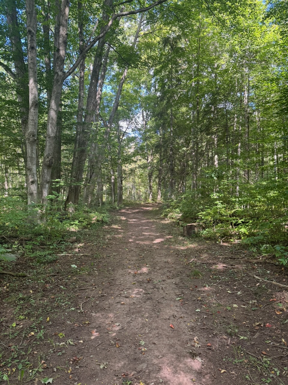
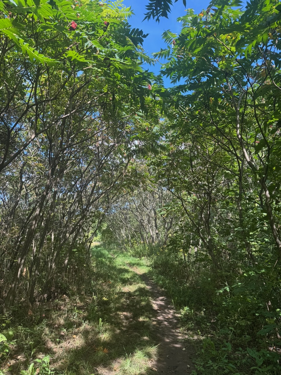
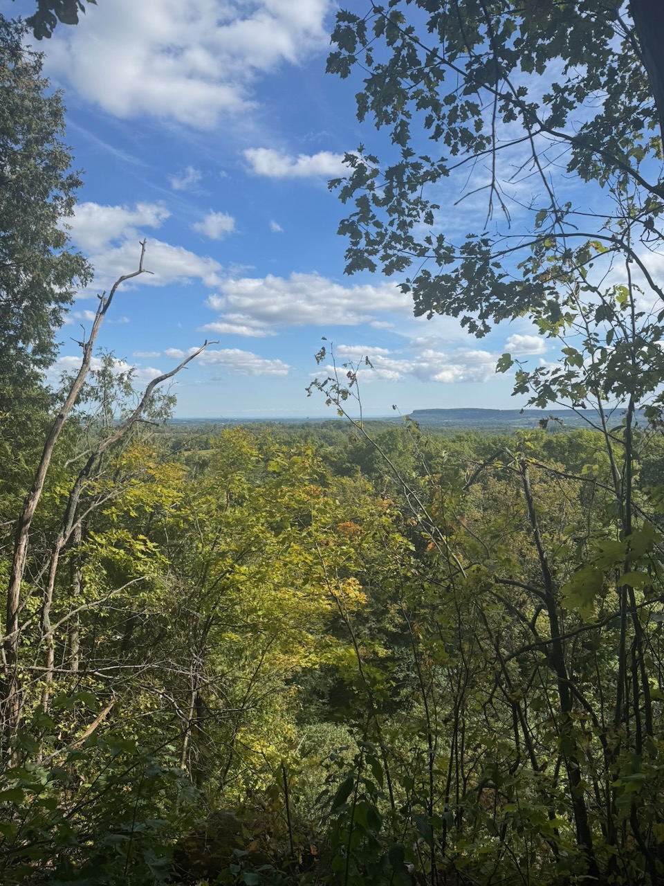
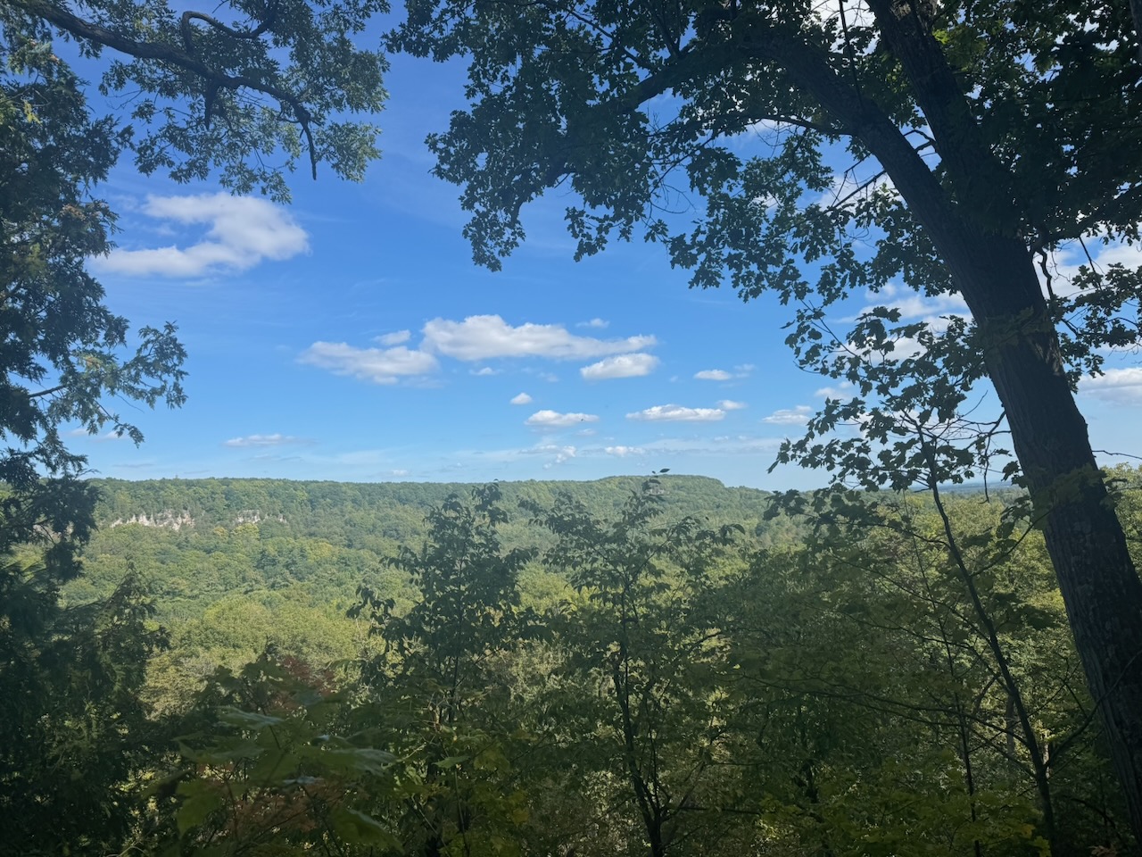
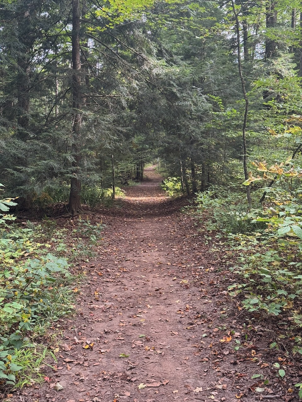
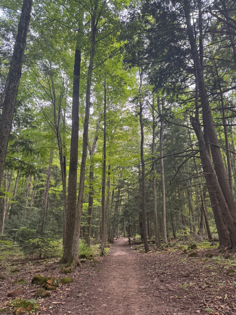
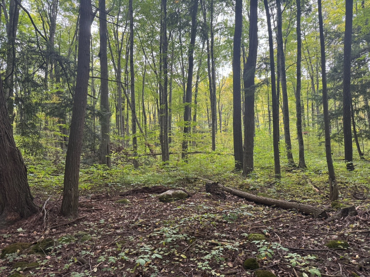
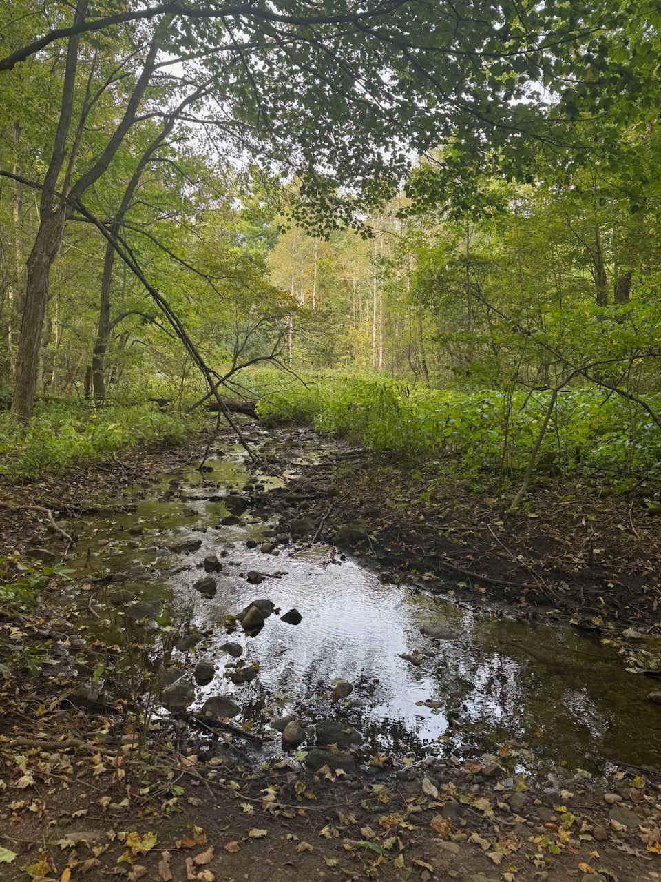
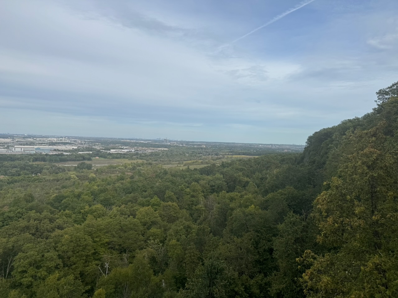
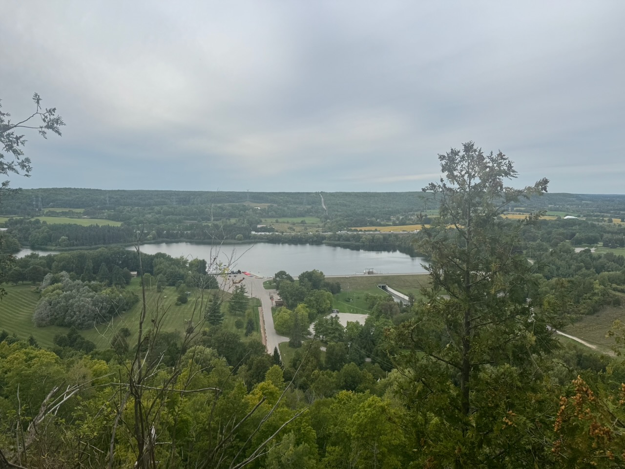
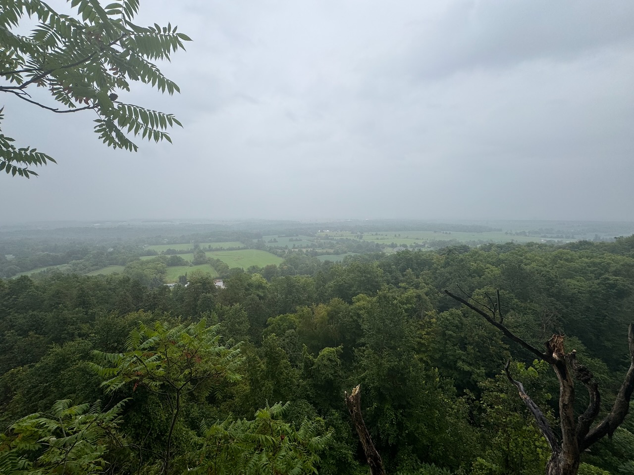
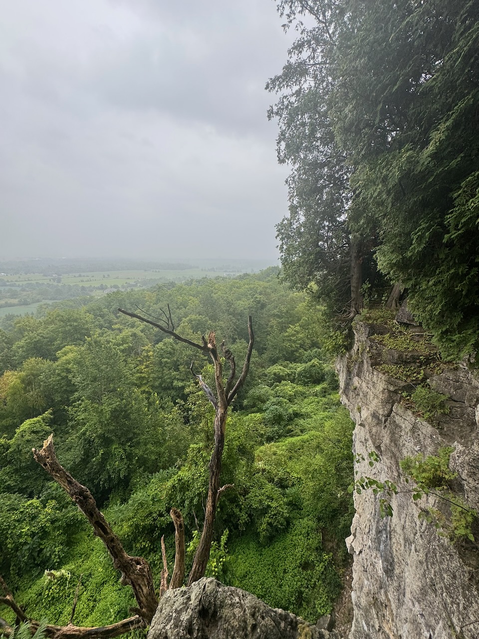
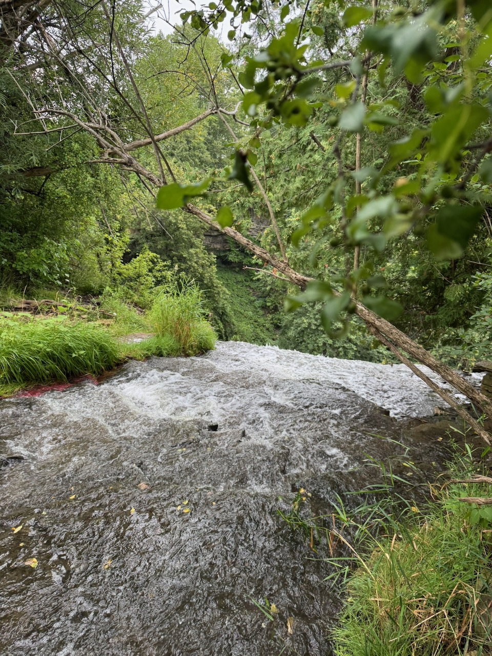
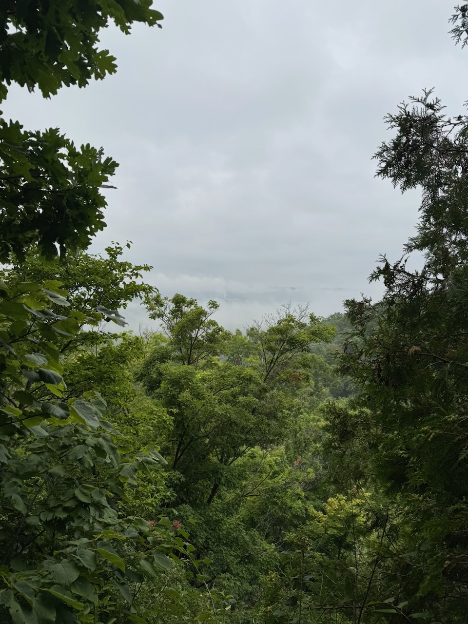
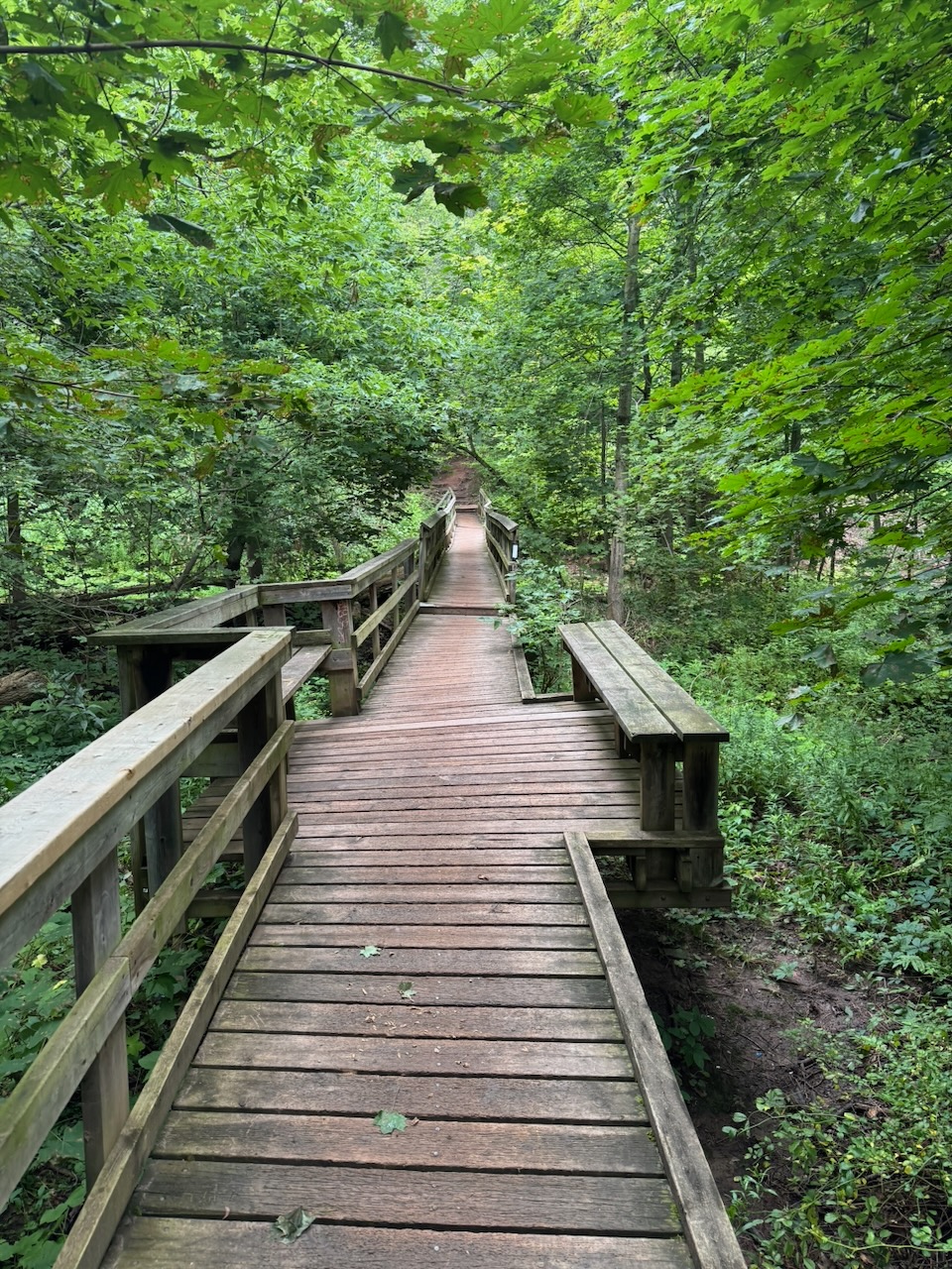
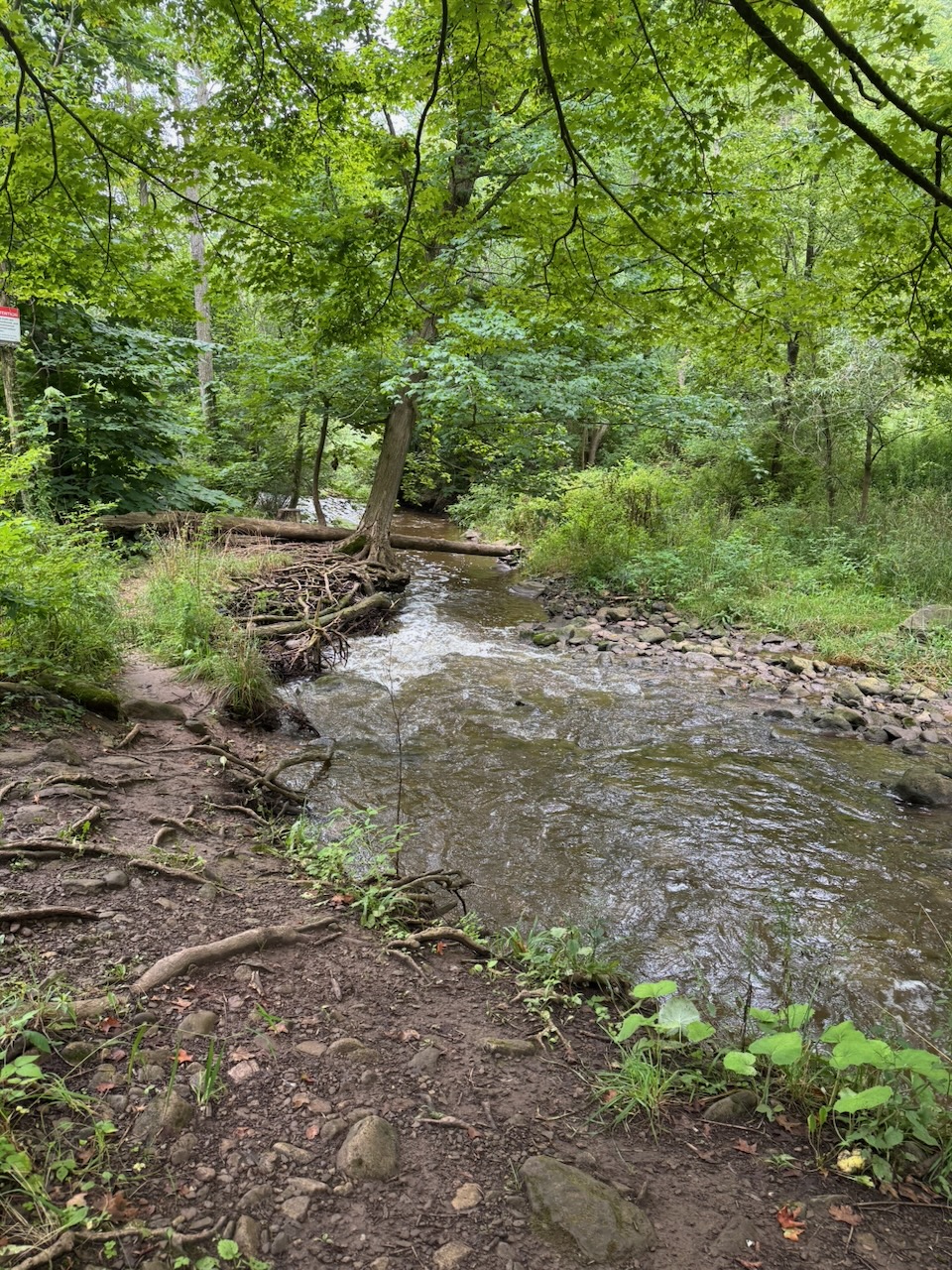
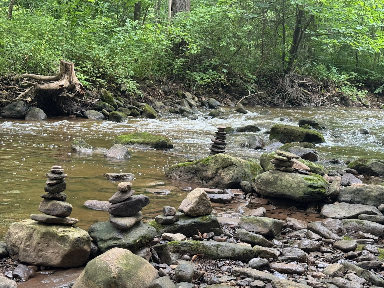
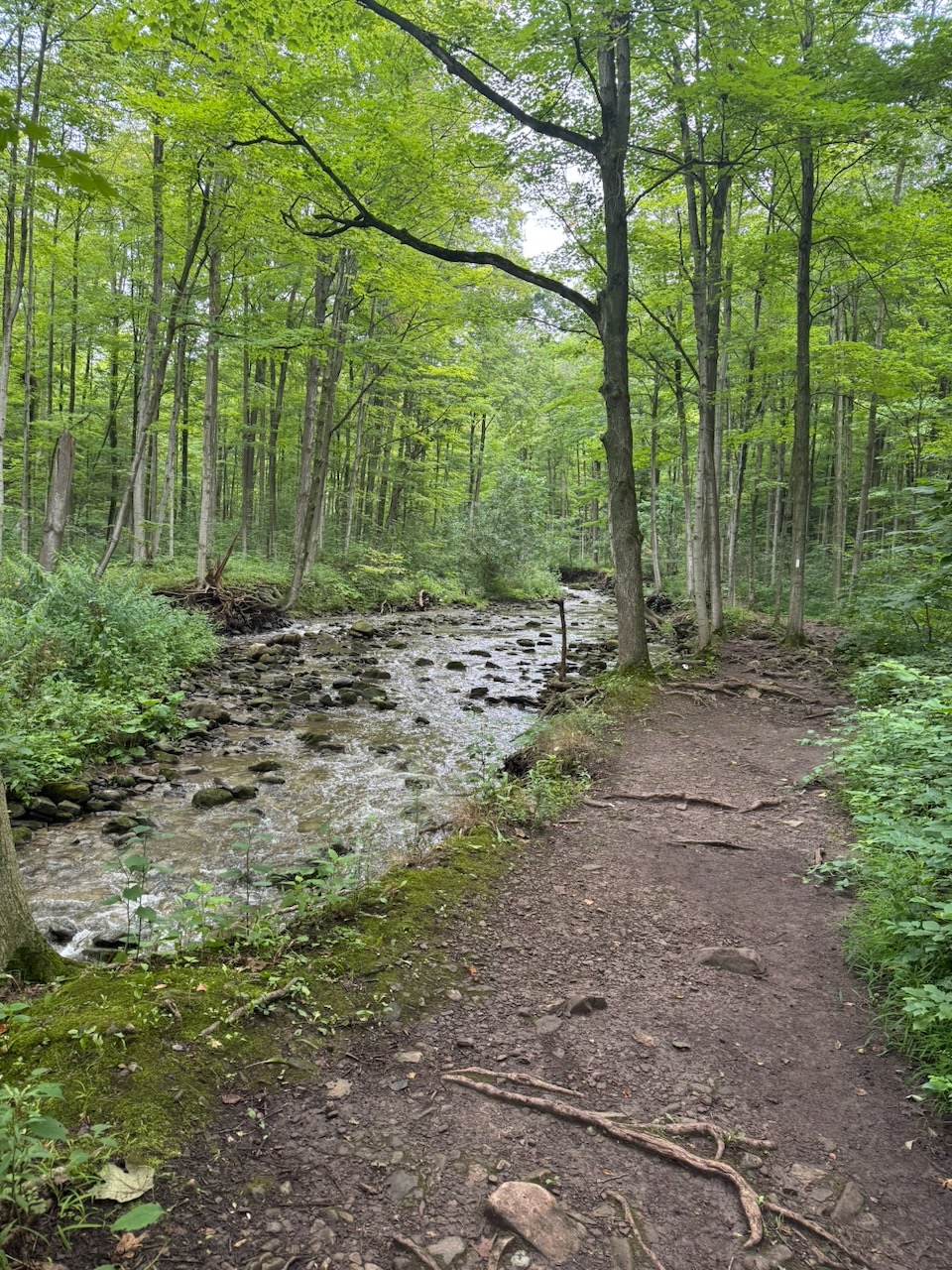
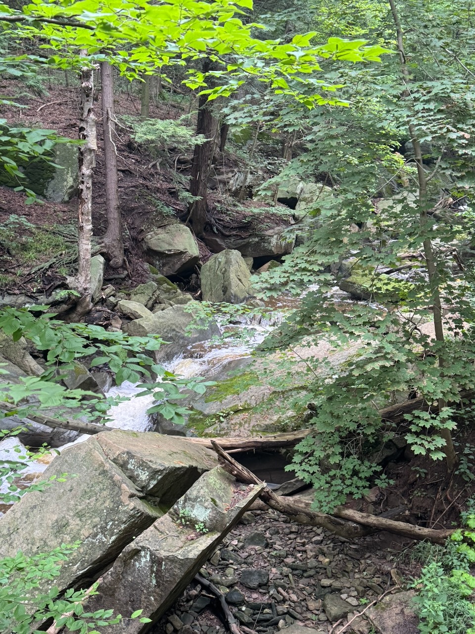
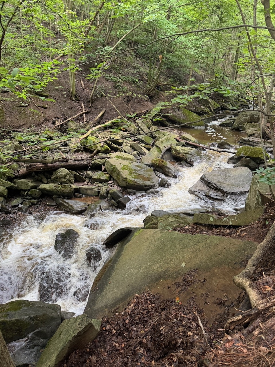
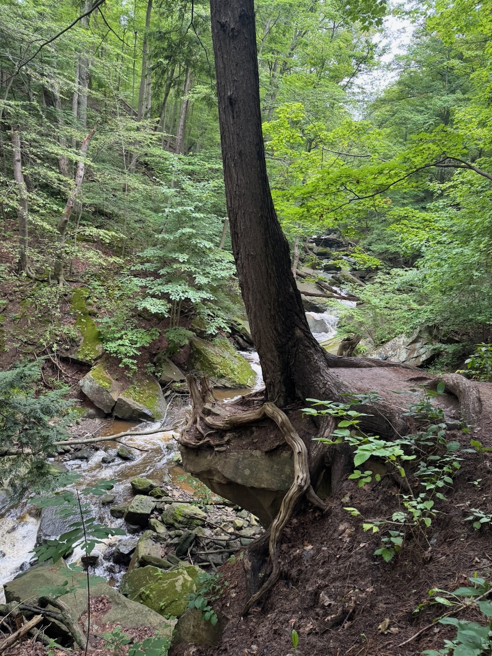
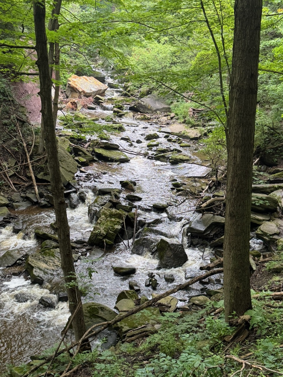
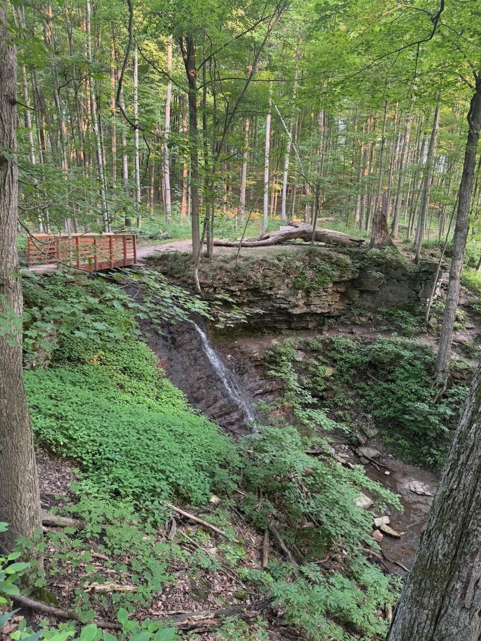
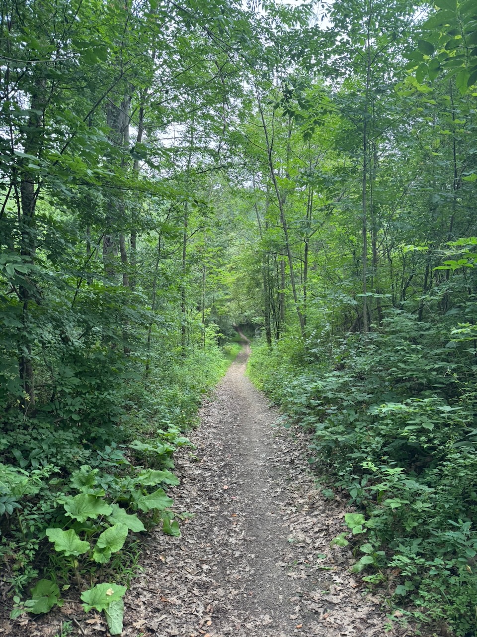
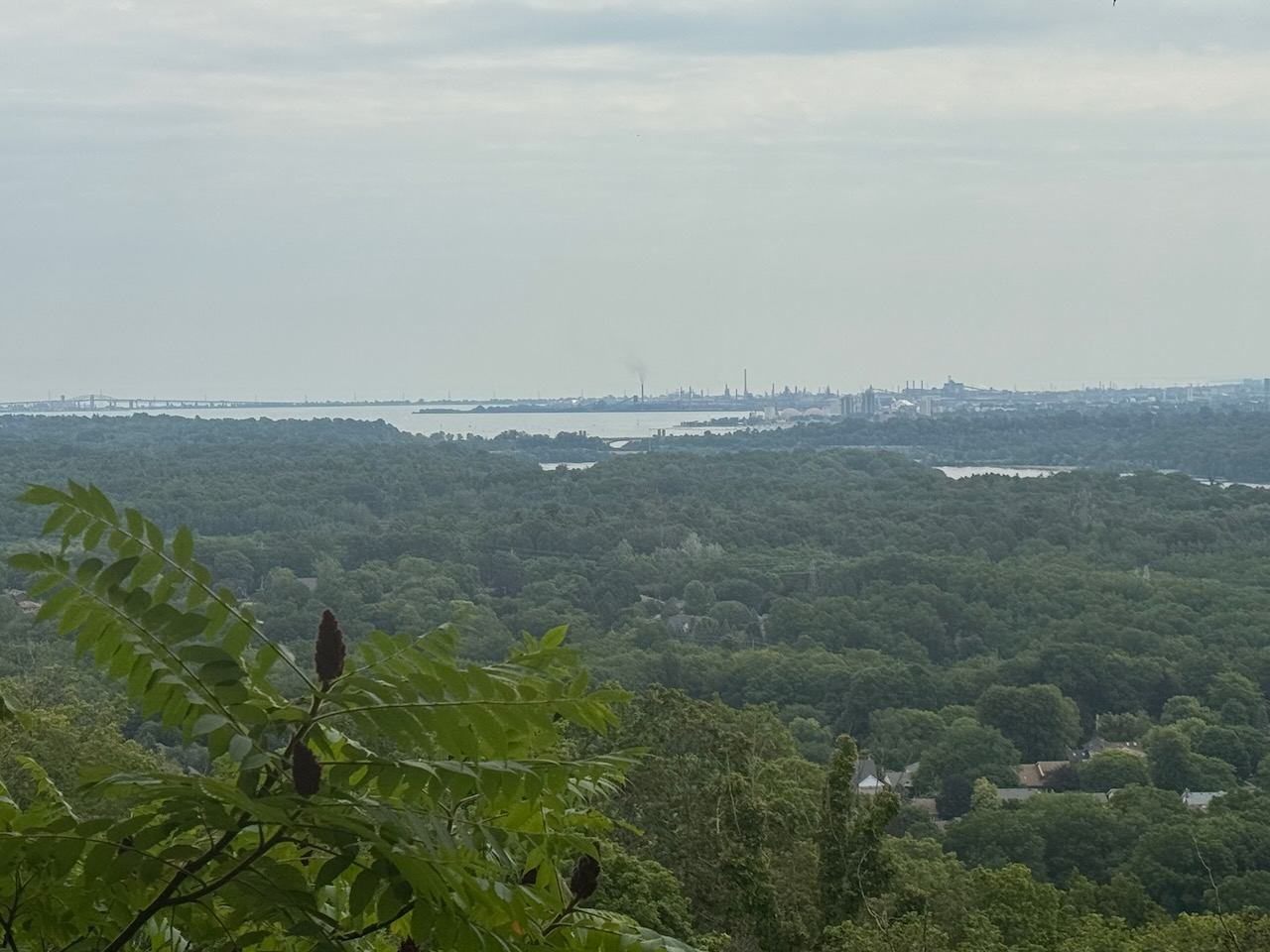
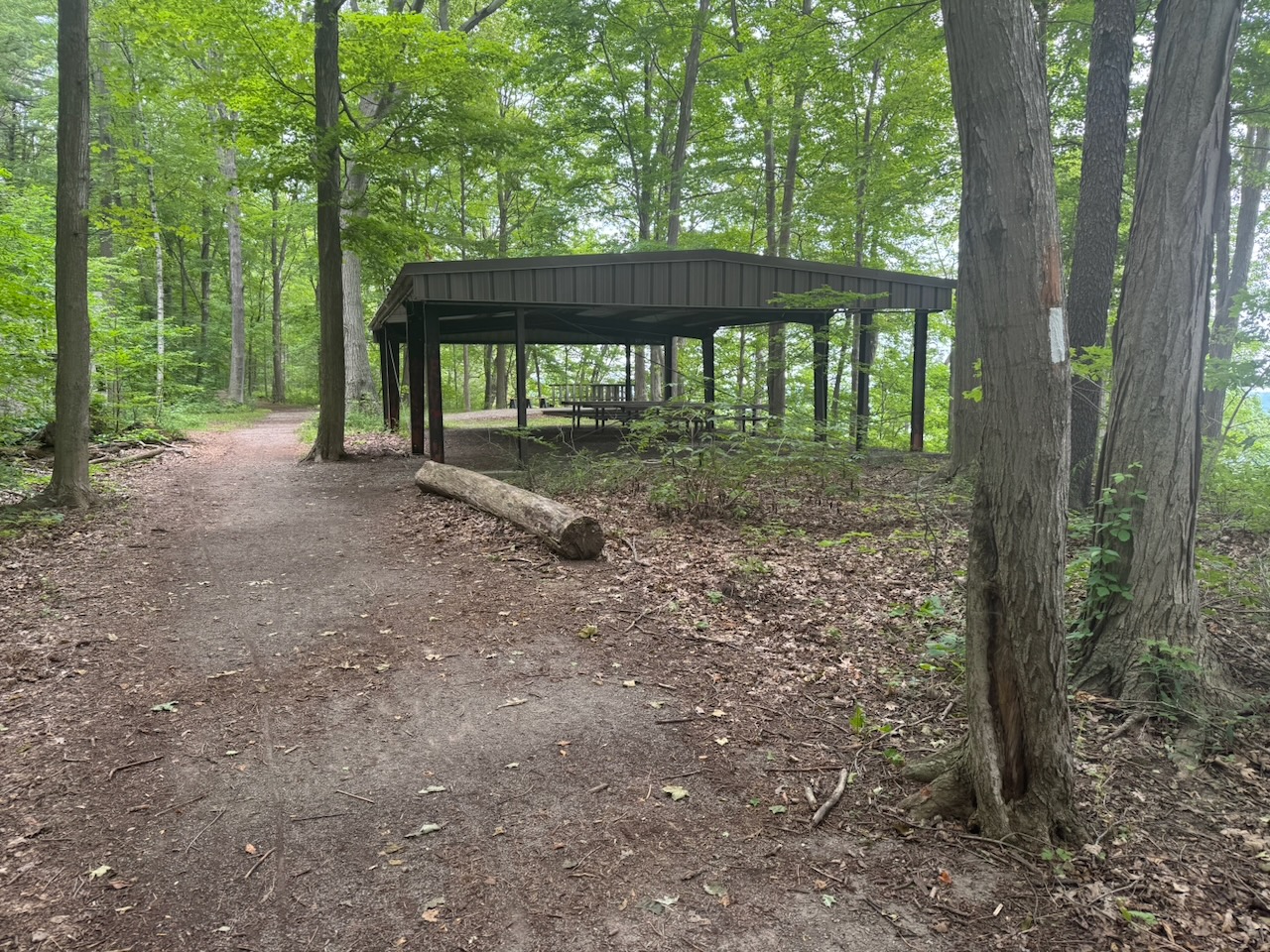
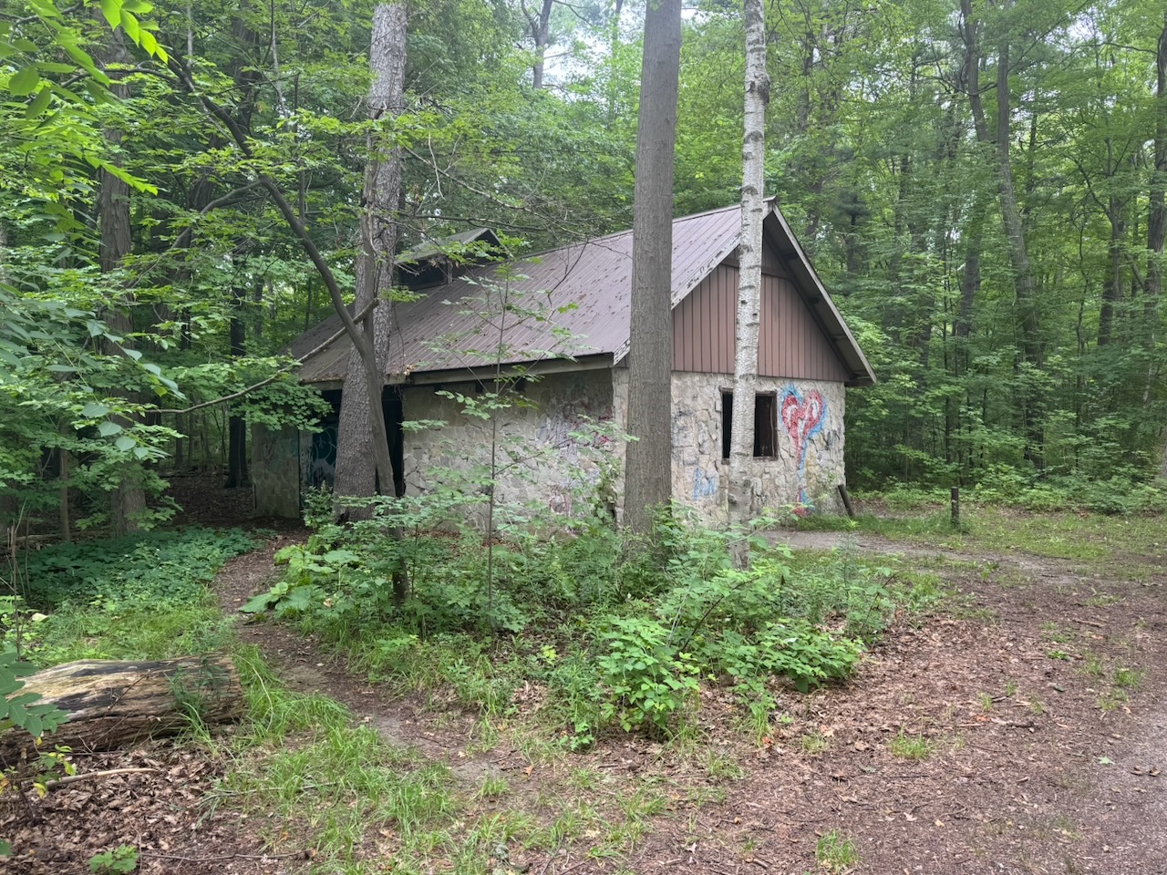
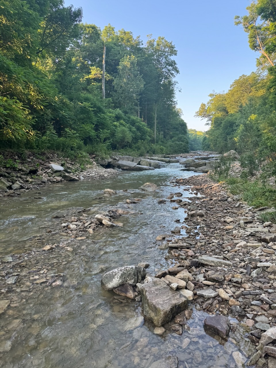
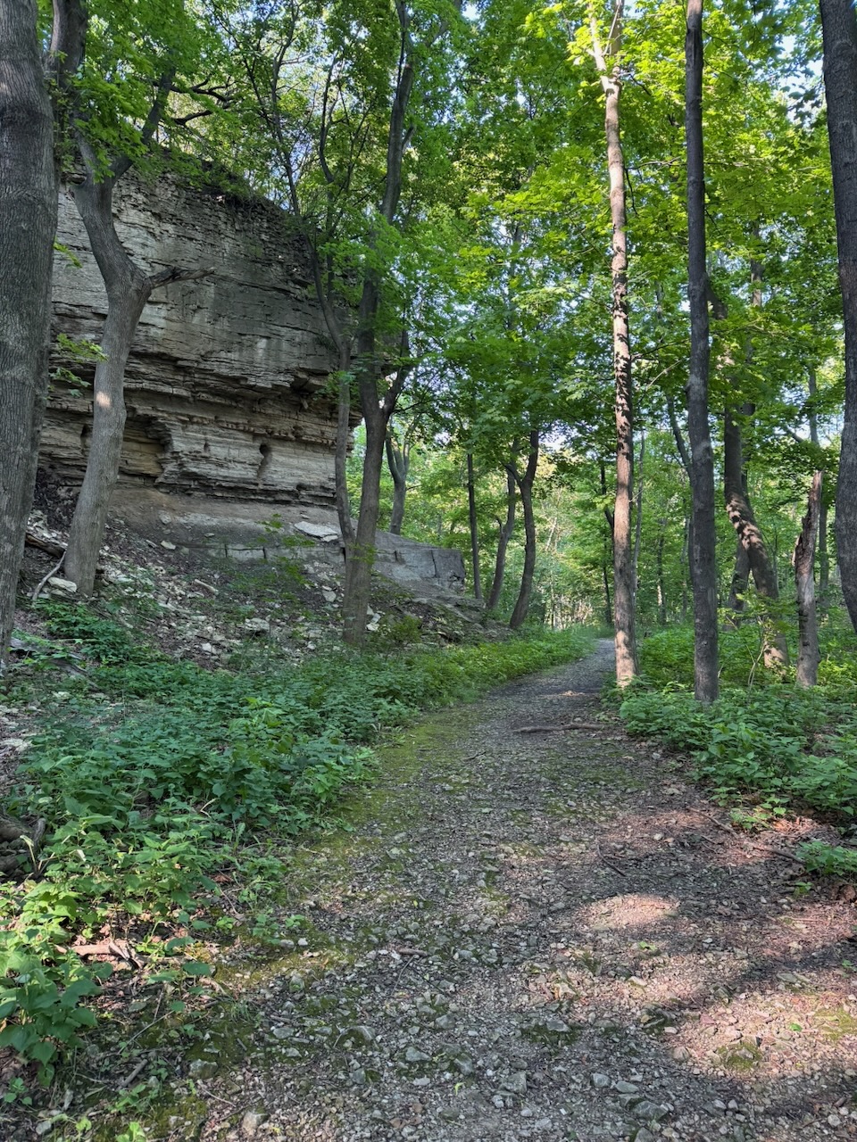
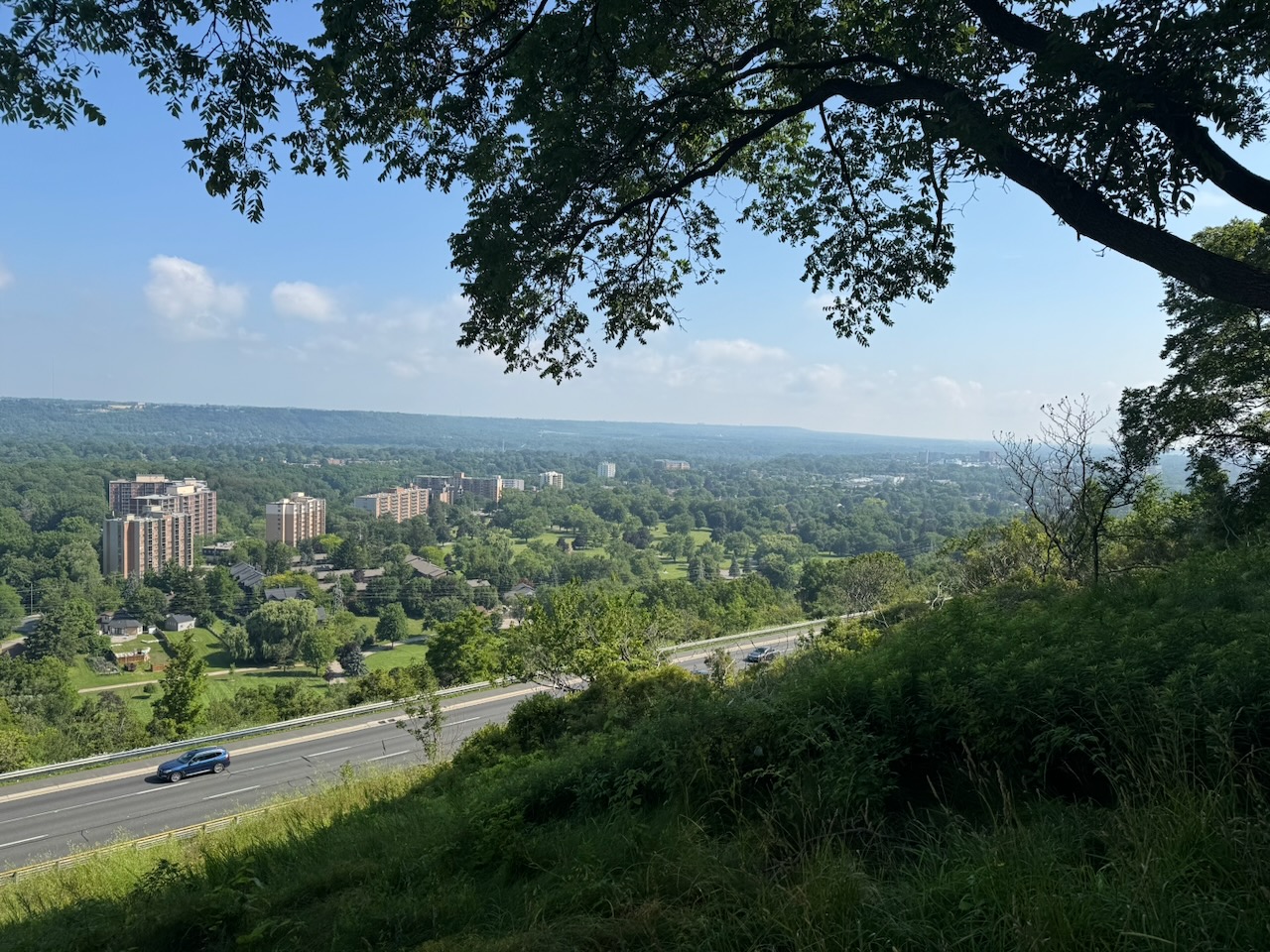
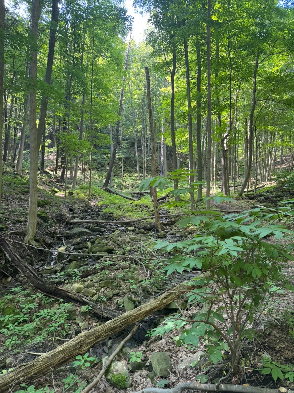
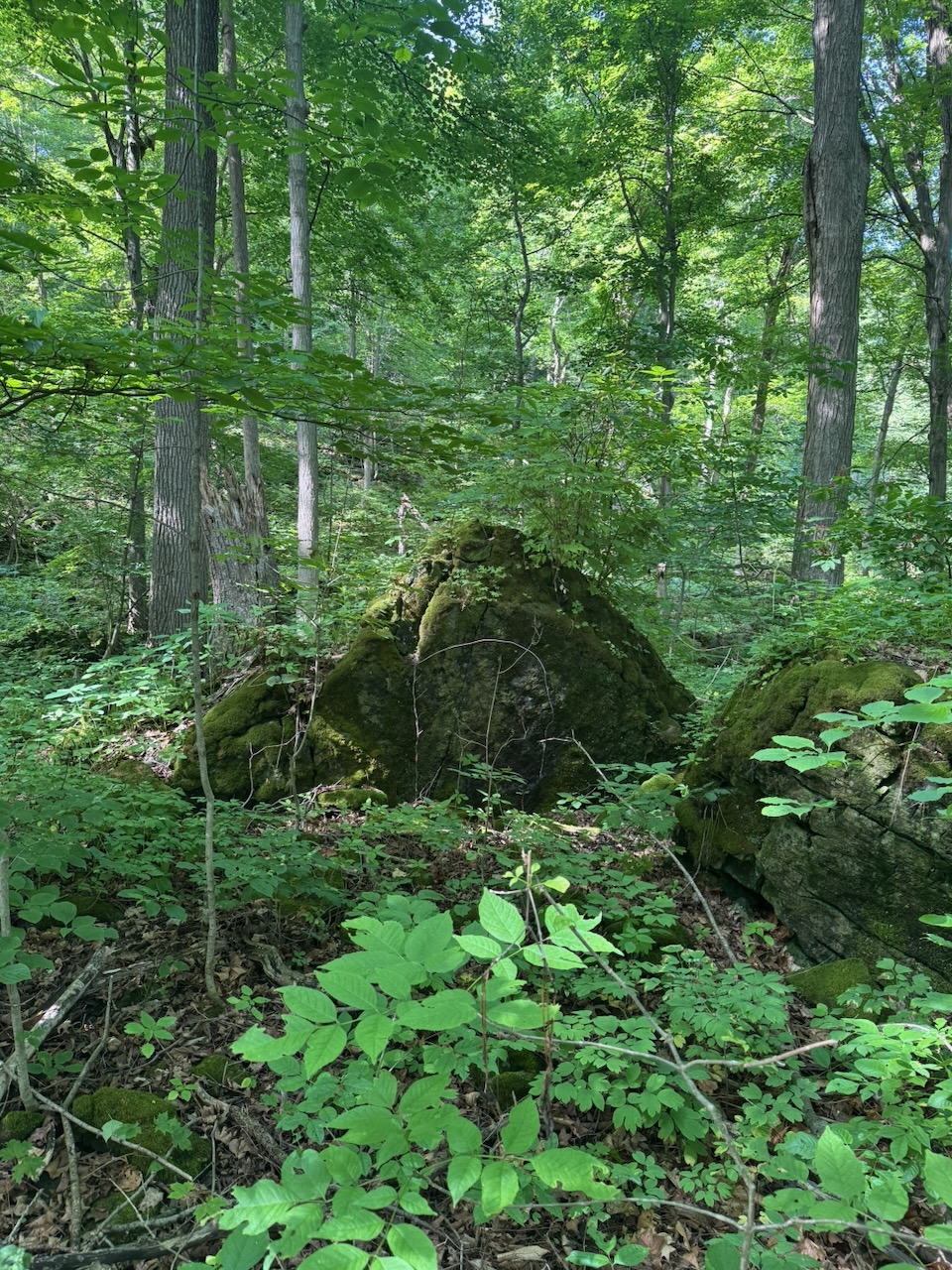
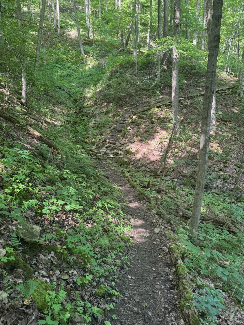
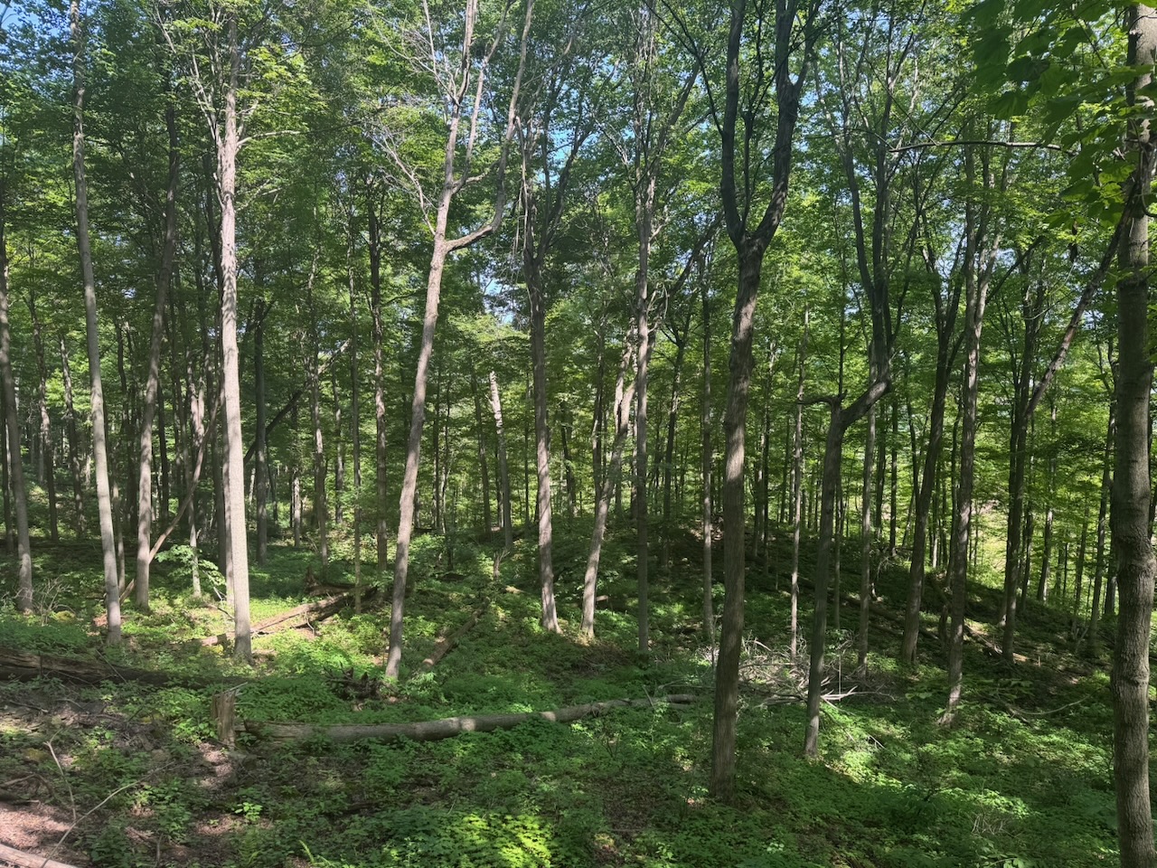
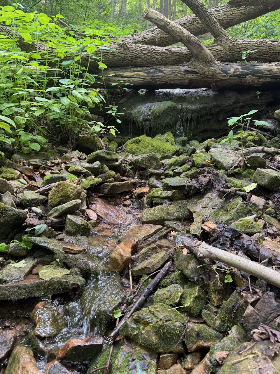
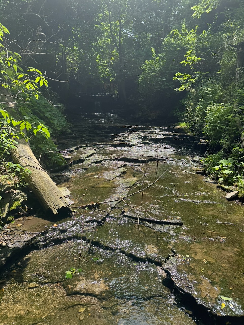
The trail takes an odd route after this. It goes in a several kilometre long “loop” through Forks of the Credit Provincial Park. This is the left side of the sort of “T” shape in the route map. The fall colours here were nice, much nicer than the wherever the selfie people were. I passed two dudes on my way through the park and stopped at the Credit River to eat my lunch. Said two dudes showed up a few minutes later to see the river as well. Turns out they are also doing the whole trail bottom to top. They started in August! We chatted about the trail for a while, as well as our plans. Good people.

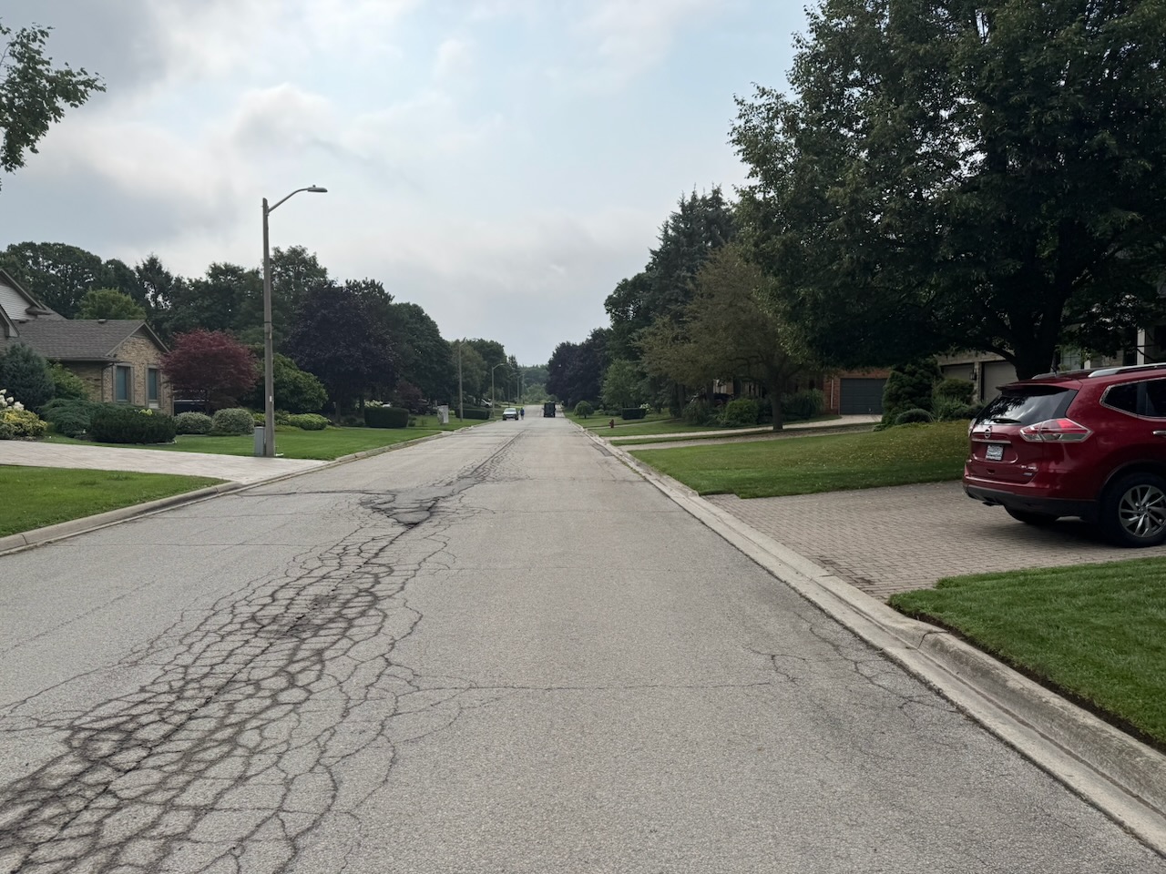
I decided to stop a bit before the usual 20K this time. There’s a “parking area” at the corner of Willougby Rd. and Escarpment Side Rd which is just a slightly larger section of road. But the next parking area was many more kilometres, and I wanted to take it a bit easier this time. I called for my Uber. It was “taking longer” to find me a ride. It then asked if I wanted “priority” for another five dollars. Ok sure. Even after this, it was still “taking longer”. After maybe ten minutes it gave me a driver, 20 minutes away. The Uber hack is getting perilous. That said, I think it still has some life, the next hike is basically a “ring road” around Orangeville, ON. So there should still be some drivers around.

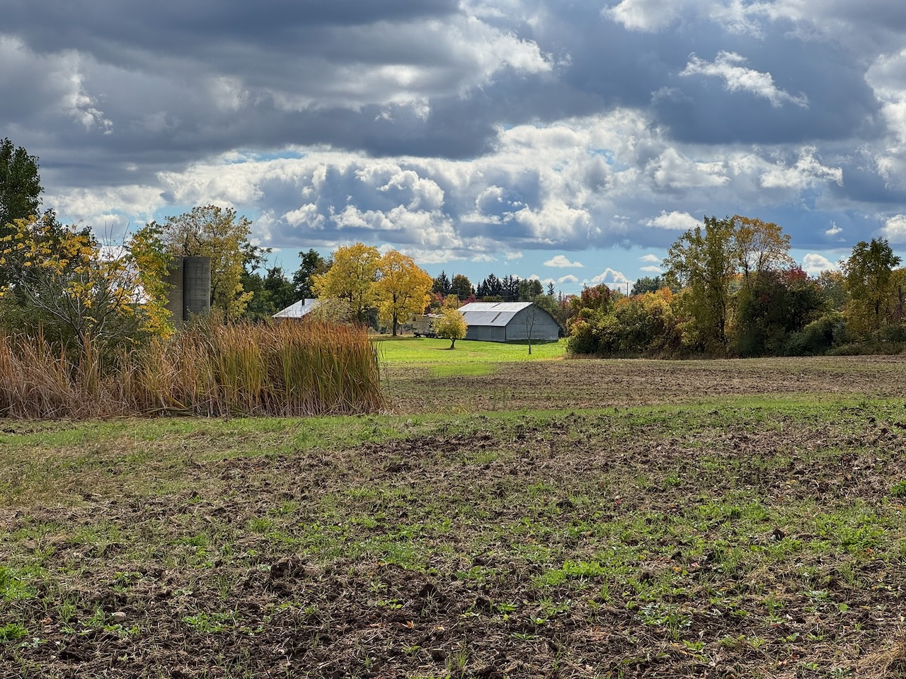
I did buy some cider when I got back to my car. In the hours since I had started it seems all of Toronto had shown up to pick apples and drink cider. They also had security on site to help with the parking. I’m thinking of buying land in the area just to open a parking lot. There’s gold in them thar parking lots!

Only 596.6km to go!
Hike the Bruce Trail Day Fourteen: Bad Lands, Good People

Hike the Bruce Trail Day Thirteen: Lime, Silver, Terra Cotta

I was so close. Just another kilometre or two and I would have made it.

Start: Limehouse, ON

End: Spirit Tree Estate Cidery

Distance: 27.5km

Weather: 15C with scattered cloud

The Route

I need to find out more about what “sunrise” actually means. According to Apple Weather the sunrise for this hike would be around 7:20AM. I was up at six, and out of the house just after 6:30, by seven it was bright enough that I could have started hiking. Apparently this is “first light”. So I could have started maybe a half hour early, which would have been nice, as you’ll see.

After arriving in Limehouse ON, I ran into the same problem as last time. No (or very poor) cellular data signal. I track all my hikes in the Bruce Trail App (as I’ve said before) but when the app starts the first thing it does is to “update trail data”. I’m guessing this means closures, reroutes, hazards etc. But with no (or very poor) data connection the app just hangs and you can’t do anything. Full offline mode is a pure necessity for this app. I’ll need to contact the Bruce Trail people and make them aware. If there’s no data connection the app should skip the updates and jump right in.

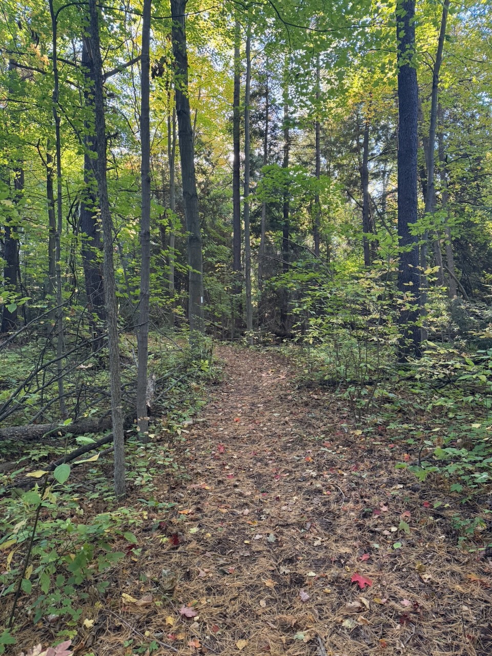
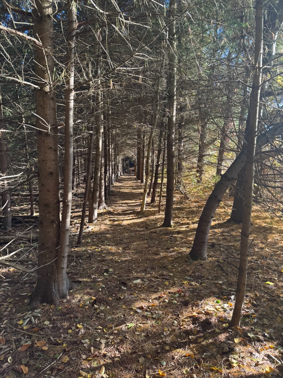
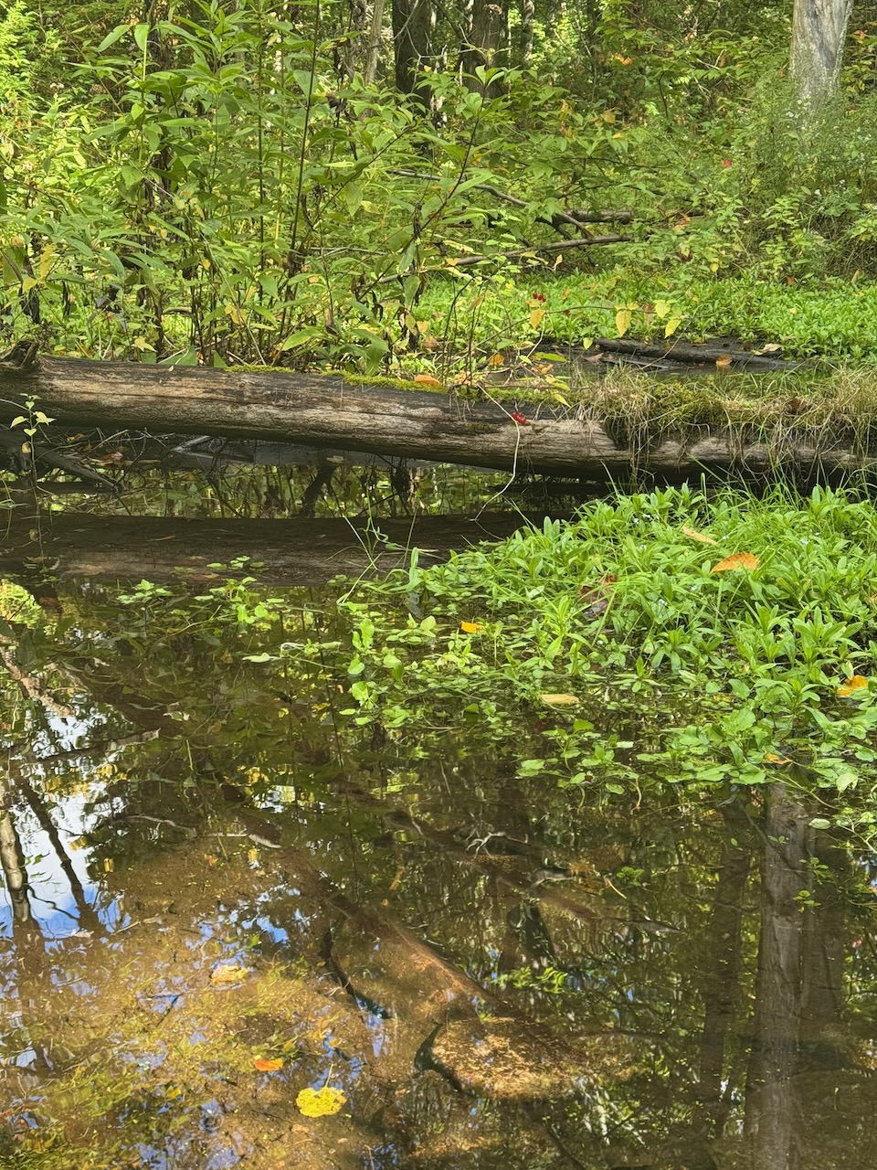
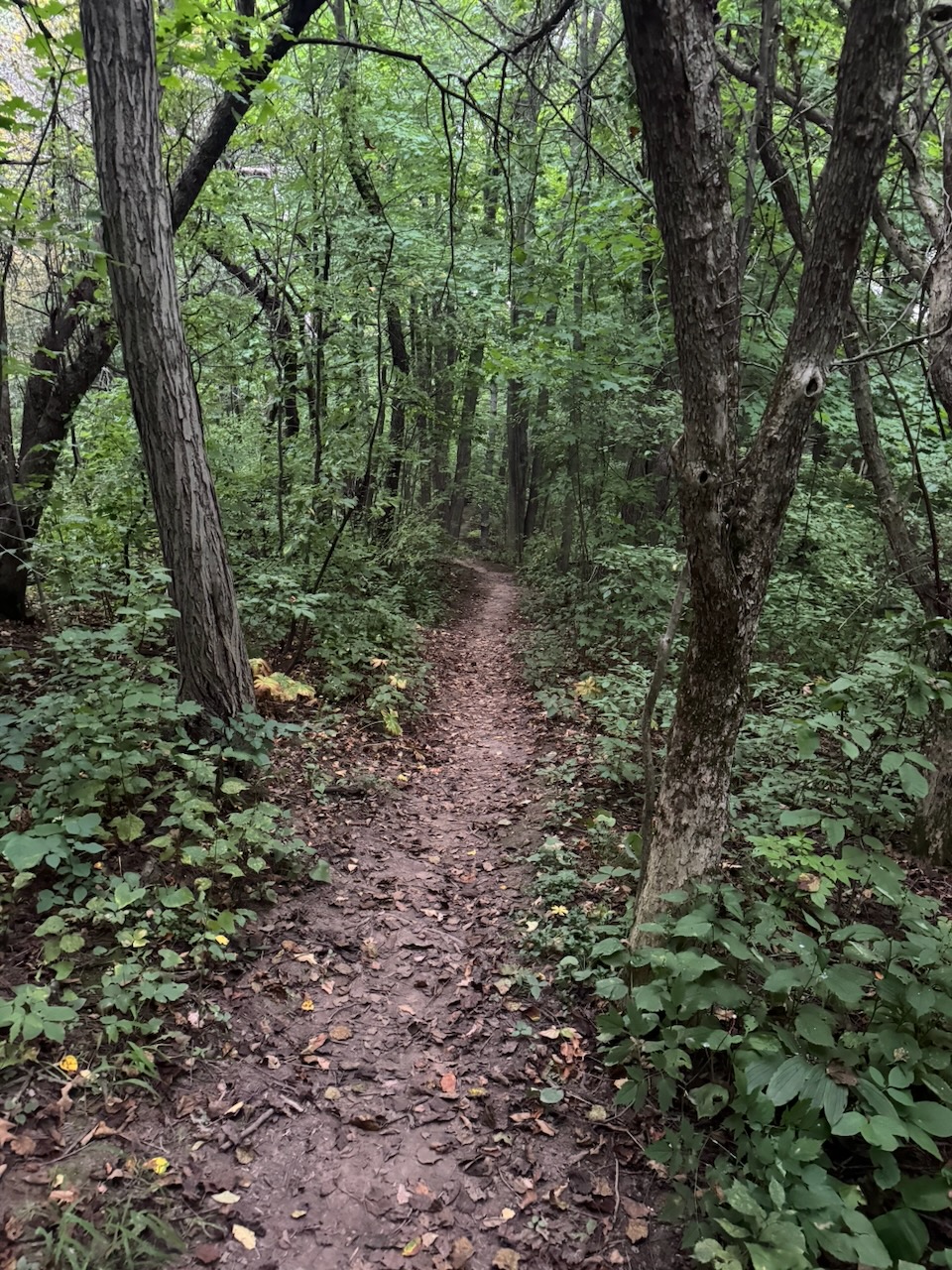
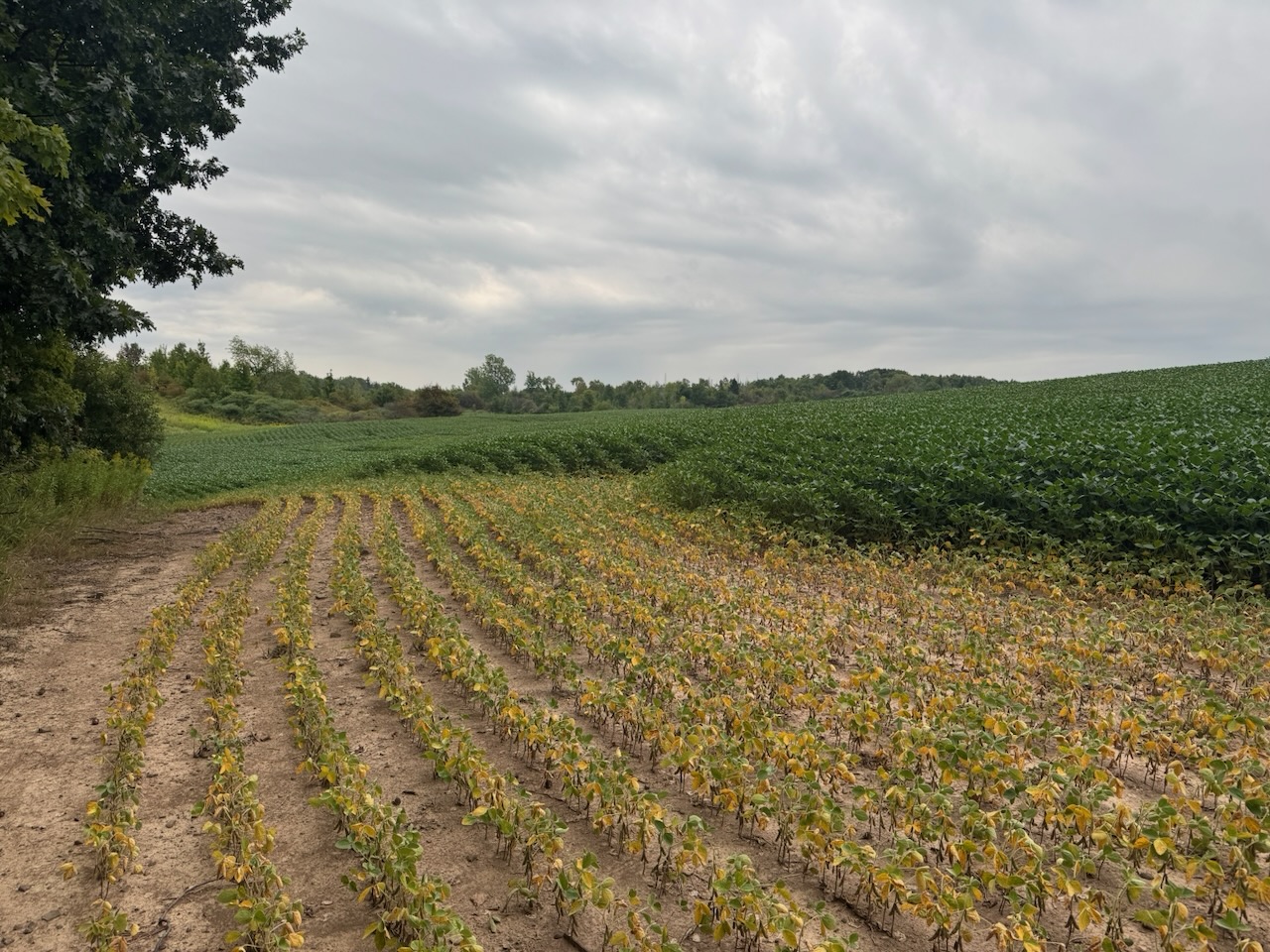
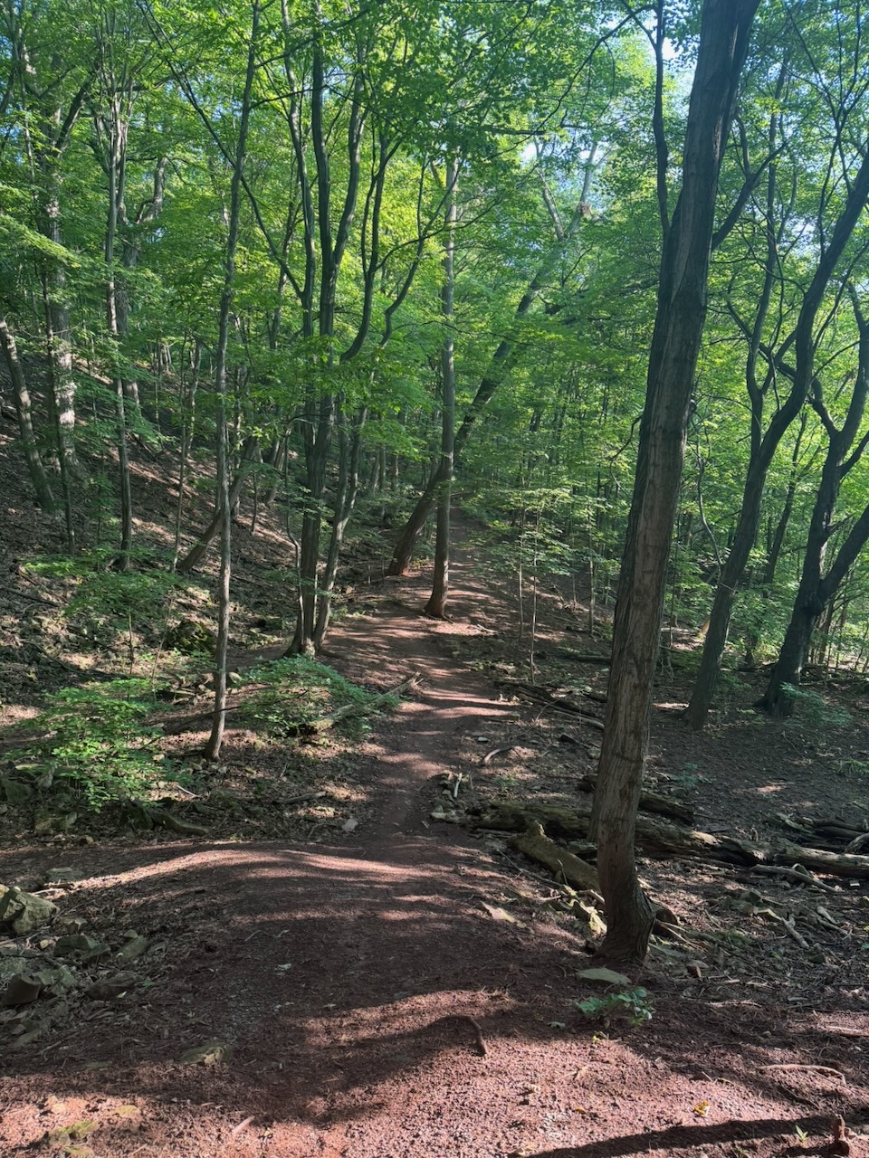
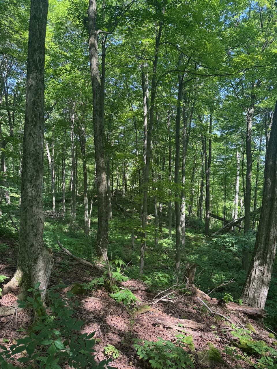
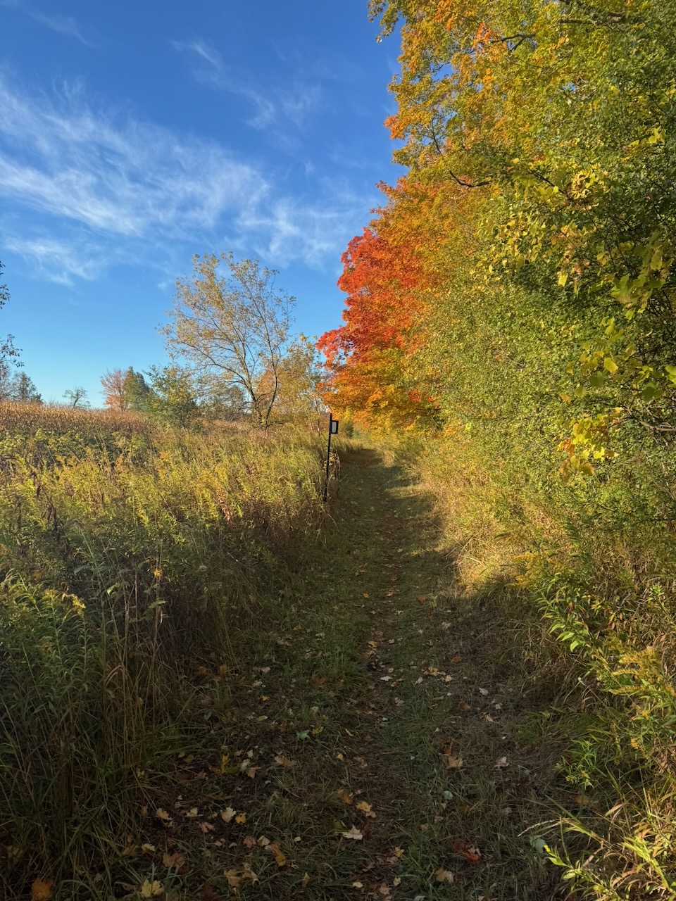
The first part of the hike took me by many farmer’s fields, little streams and meadows. There were also some wooded sections with many fall colours. And the woods were lovely.

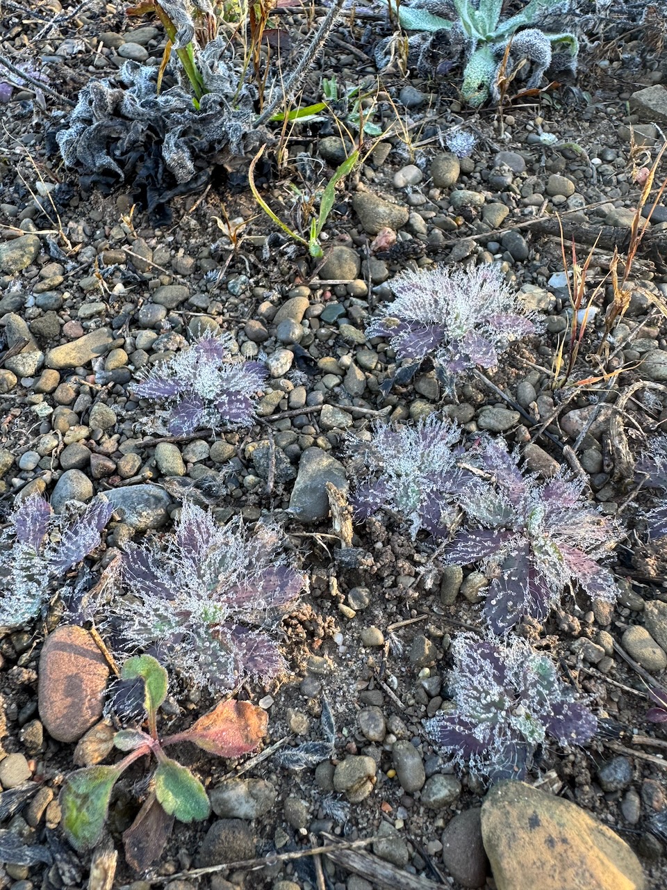
There were a few former quarries again, though without any ruins like Limehouse had. The weather was cold enough in the morning that I wore gloves to keep warm. Despite this, I was still surprised to see frost on some low lying plants in one of these former quarries. Perhaps the depressions created by the quarries hold cold air? There was no frost anywhere else. And the woods were lovely.

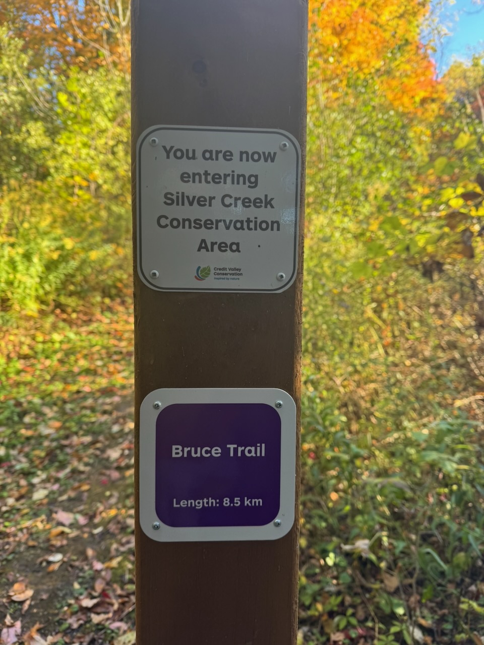
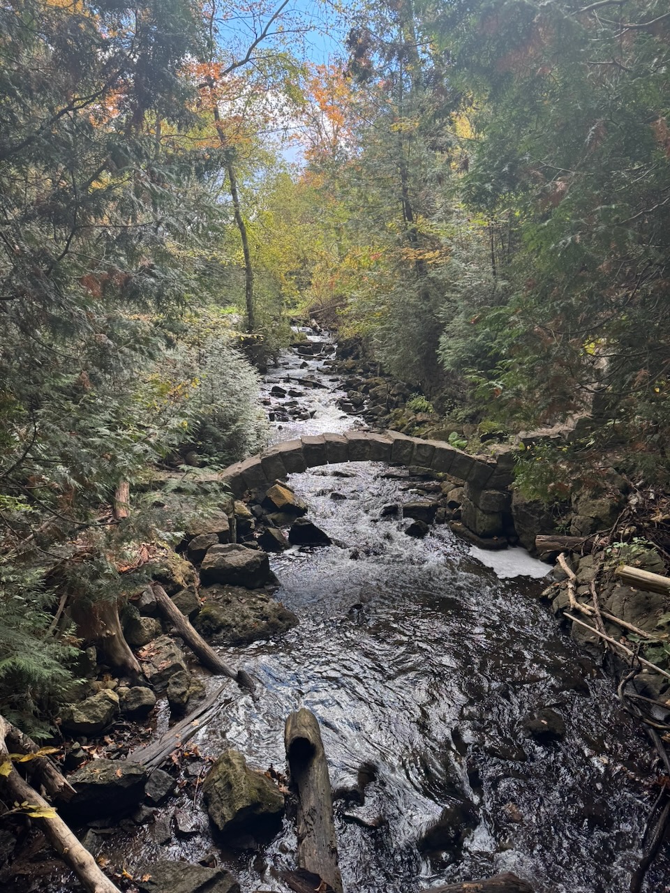
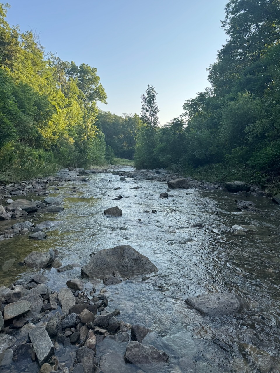
After crossing highway seven I entered Silver Creek Conservation Area. At this point I was almost 15km in and had not seen a single other person on the trail. Even though it was the Friday before a long weekend. I finally bumped into a mom and her little girl looking at a small creek (not sure if it was the eponymous Silver Creek or not). I was shocked at how clear the water was. Absolutely crystal. And the creek bed was plain stones, not covered in any growth. Until now most of the creeks I’ve passed have had that brown “scunge” that you see in urban creek beds. Or that foamy stuff swirling round wherever there’s a whirlpool. There weren’t even any shopping carts like you find in the Hamilton creeks! And the woods were lovely.

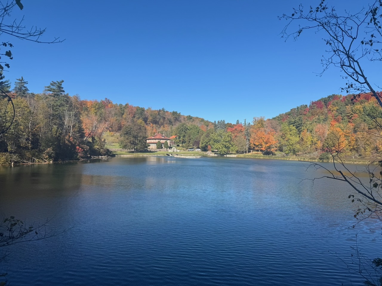
If anyone reading this (ha!) remembers the very first Bruce Trail post I mentioned that I’ve done bits and pieces of the trail over the years, Silver Creek Conservation Area is one of those bits. I was last here in the dead of winter, so the scenery was very different. Part of the trail runs along the ridge of a large valley, in summer it’s hard to see in the distance due to the foliage. In winter you can see the full breadth of the valley from almost anywhere on the trail. The Silver Creek portion of the trail ends at a large reservoir whose purpose is mysterious. There’s a large and quite lovely home on its shores, which makes it a small private lake for whoever lives there. And the woods were lovely.

Up next is Terra Cotta Conservation Area, though I didn’t see anything that put me in mind of Terra Cotta except for one hillside near the beginning. By this point it was getting later in the day and I needed to get home. However, I still wanted to finish the Toronto section. The red mist started to descend. I began to run wherever I could, and stopped looking at the scenery. Then I began to run continuously, heedless of the rocks, ruts, and roots. I was a sweating, snotty mess as I blew past a group of Irish hikers and exited Terra Cotta onto roads. I had only 2.5km left in the Toronto section, I HAD to make it. With about 1.5km to go I made a mistake and checked my phone to see how long an Uber would take to arrive. There was no estimate other than “longer wait”. Uh oh. I requested a ride to see what would happen, oddly it found me a driver right away. Taking this as a stroke of luck I decided to stop there. My fear was that if I kept going I would not be able to get another ride in time, and would be late returning home. So close. But at least the woods were lovely.

Turns out where I stopped to request the ride was right in front of a cidery. I purchased some cider for the evening and ate my packed lunch in the Uber back to my car. This makes a new record for my longest hike yet.

Only 615.2km to go!
Hike the Bruce Trail Day Thirteen: Lime, Silver, Terra Cotta

Hike the Bruce Trail Day Twelve: Pits and Lands

No need to get up too early anymore, leaving at 5AM would only mean over an hour of hiking in the dark. It’s October now you see, and the sun doesn’t come up until after seven. This sounds great, sleeping in a bit, however it means driving when there’s already traffic, and finishing later in the day.

Start: Glen Eden

End: Limehouse, ON

Distance: 24km

Weather: 15C with scattered cloud

The Route

If the route map looks a little less detailed than normal that’s because it’s a bit more zoomed out than normal. This is the second longest hike I’ve done yet at 24km. The reason being that the Toronto section of the trail is only 50km, and I aim to do it in two hikes. It being October already I’m quickly running out of time in which the weather is pleasant. I haven’t yet decided if I’ll continue this during the winter. Winter hiking is certainly possible (I’ve done it), but the scenery is rather dull by comparison, and if the snow is deep it’s a slog.

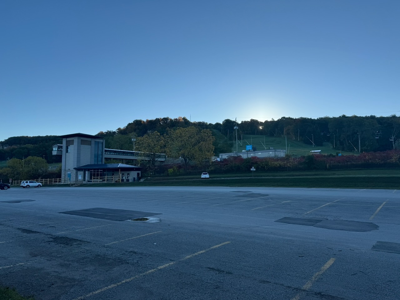
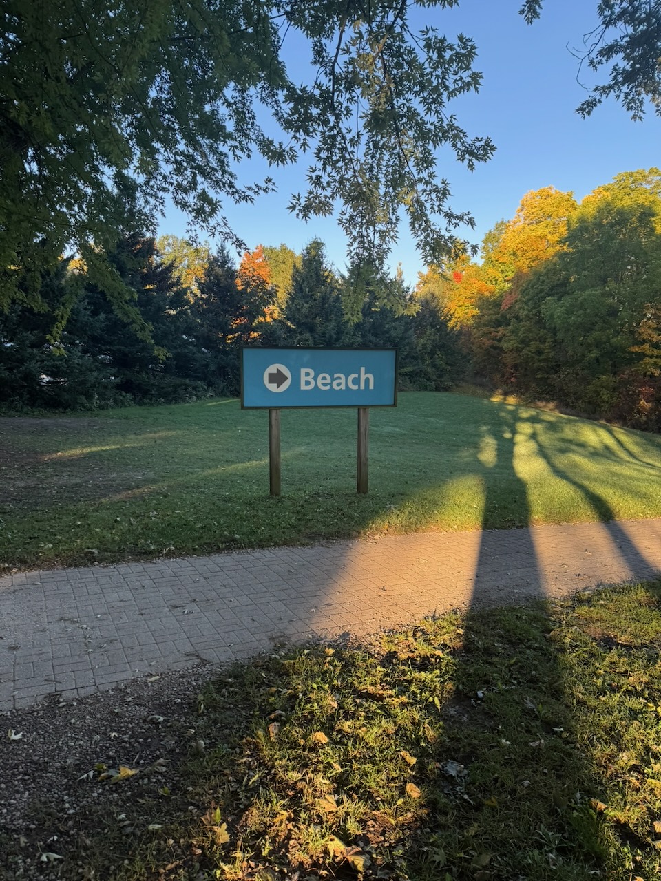
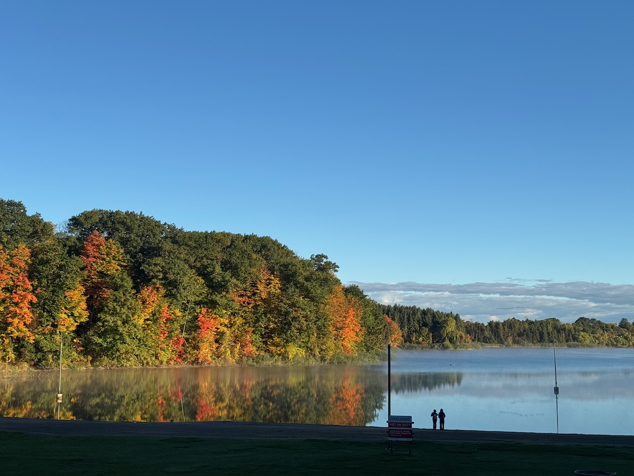
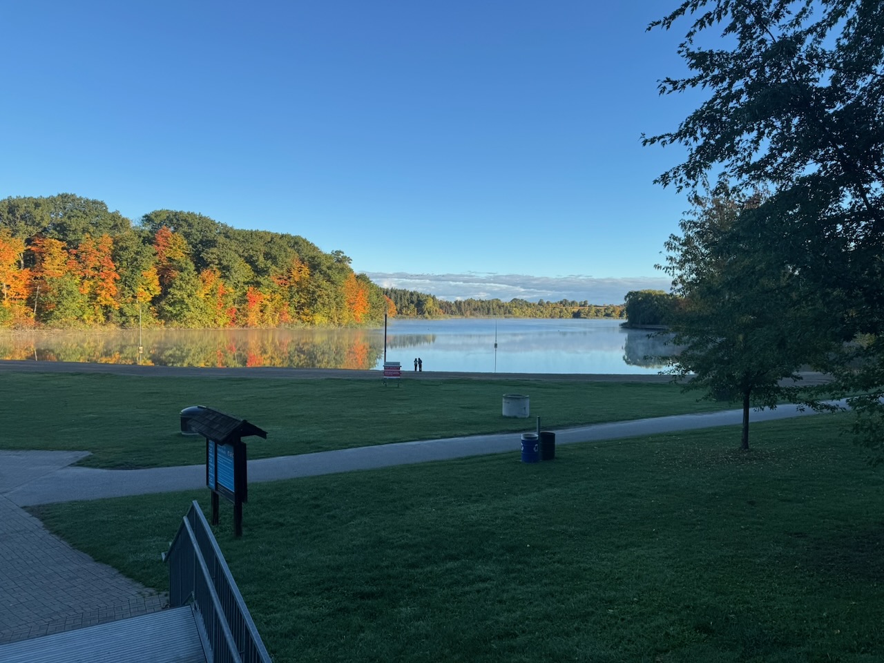
I arrived at Glen Eden to a sign saying it wasn’t open yet, but the parking lot gate opened anyway. I was one of maybe three cars parked. The restrooms were also unlocked, which turned out to be quite convenient. Nice and clean too, with decent TP, double-ply even! Anyway, right after that I noticed a sign pointing the way to the “Beach”. Though not on the trail, I was intrigued and followed a short path down to the “lake”. There is indeed a beach of sorts here, but it looks like the kind that would have murky water and people with bluetooth speakers during the summer.

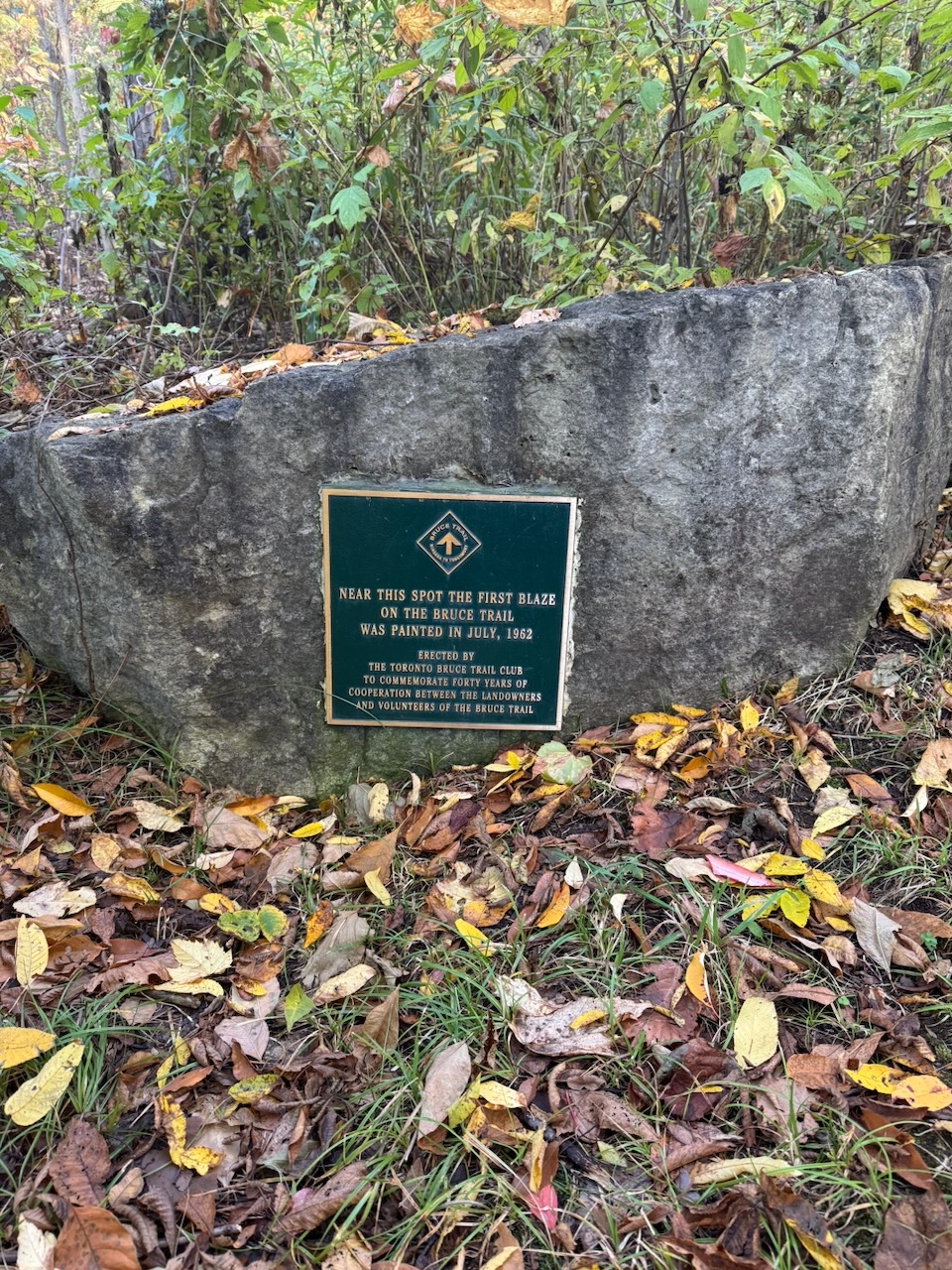
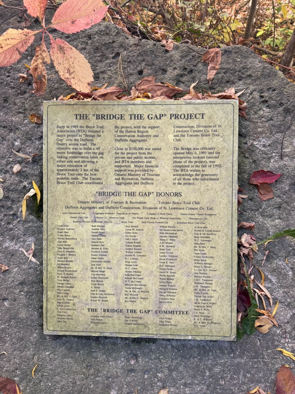
Next I passed under Highway 401, which seems mundane but does feel like an achievement, a sign I’m slowly making my way north. It’s not exactly Caesar crossing the Rubicon. But hey, small victories and all that. A plaque commemorating the first blaze on the trail appeared shortly after. This left me a bit confused, as I saw a sign proclaiming the exact same thing on day four. That one was plastic, and this one is bronze. I guess that makes this one more official? At any rate, they need to get their story straight.

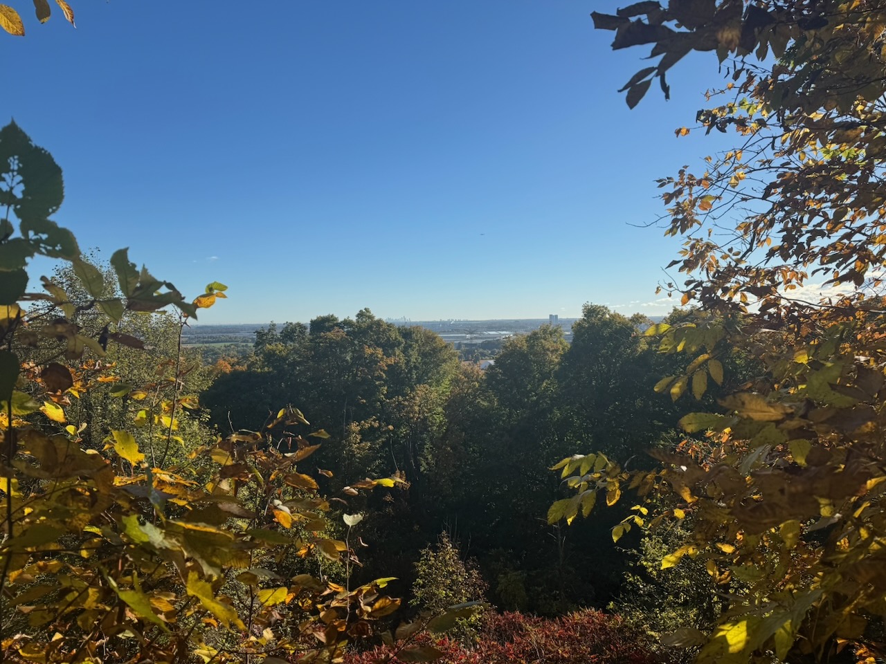
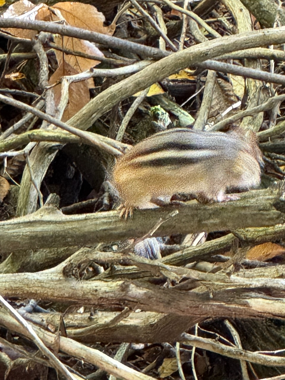
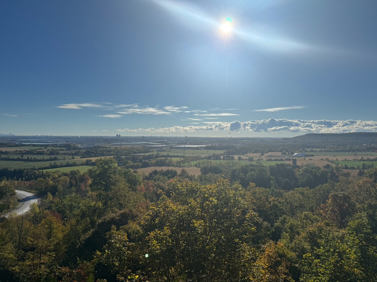
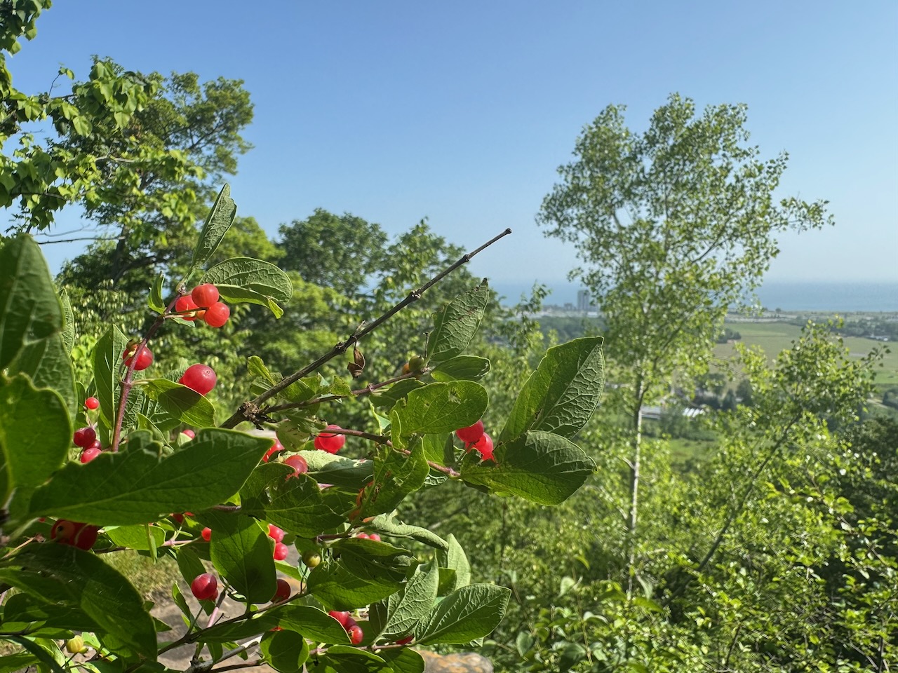
I was soon on the top of the escarpment again, with clear skies making beautiful views out to Lake Ontario and Downtown Toronto. It was still early enough in the day that I had many animal friends. Chipmunks, blue jays, I even saw a few turkeys on the trail. I tried desperately to get some pictures, but they move so fast that an iPhone is hopeless. At best you get a blurry brown spot.

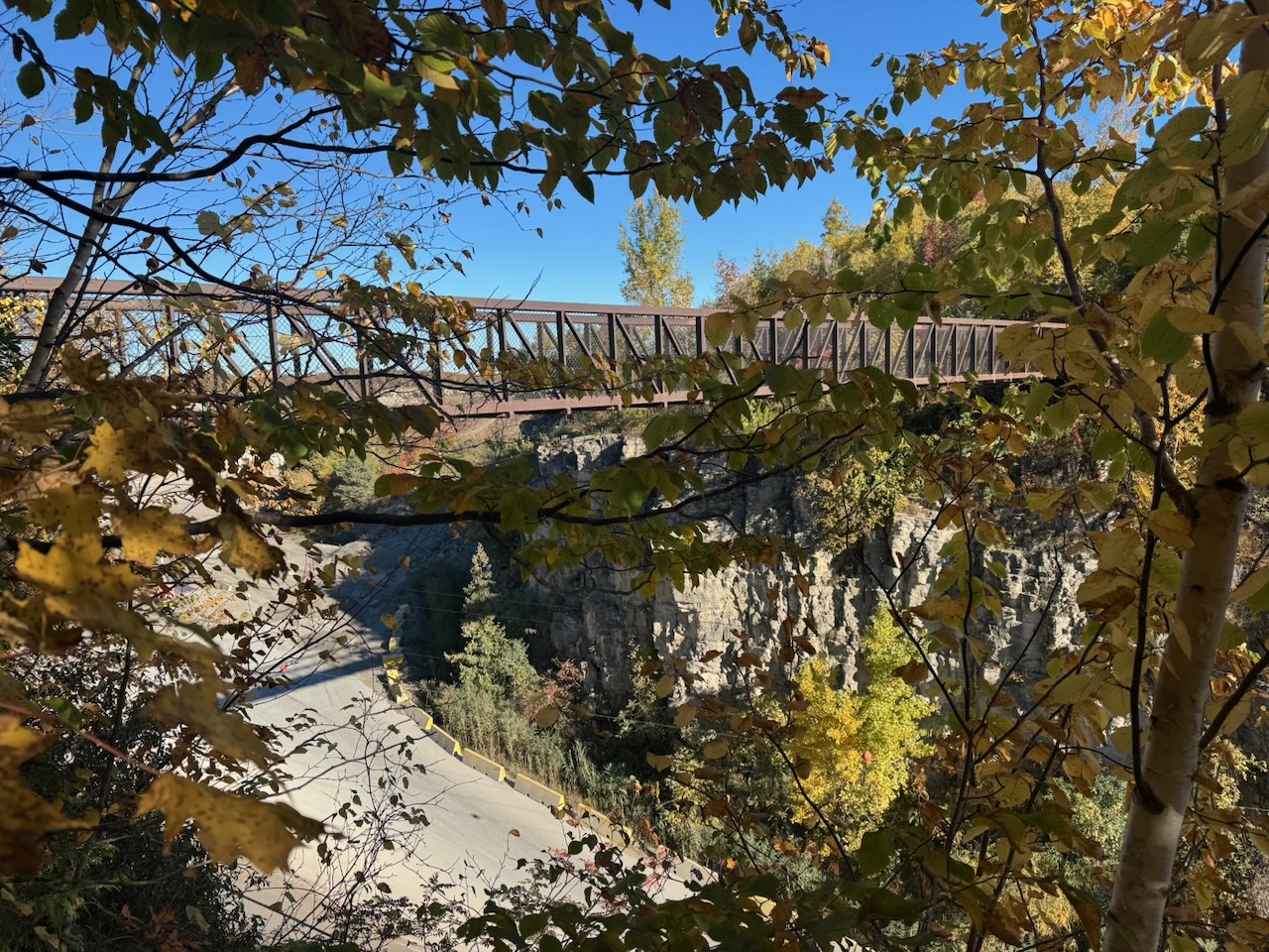
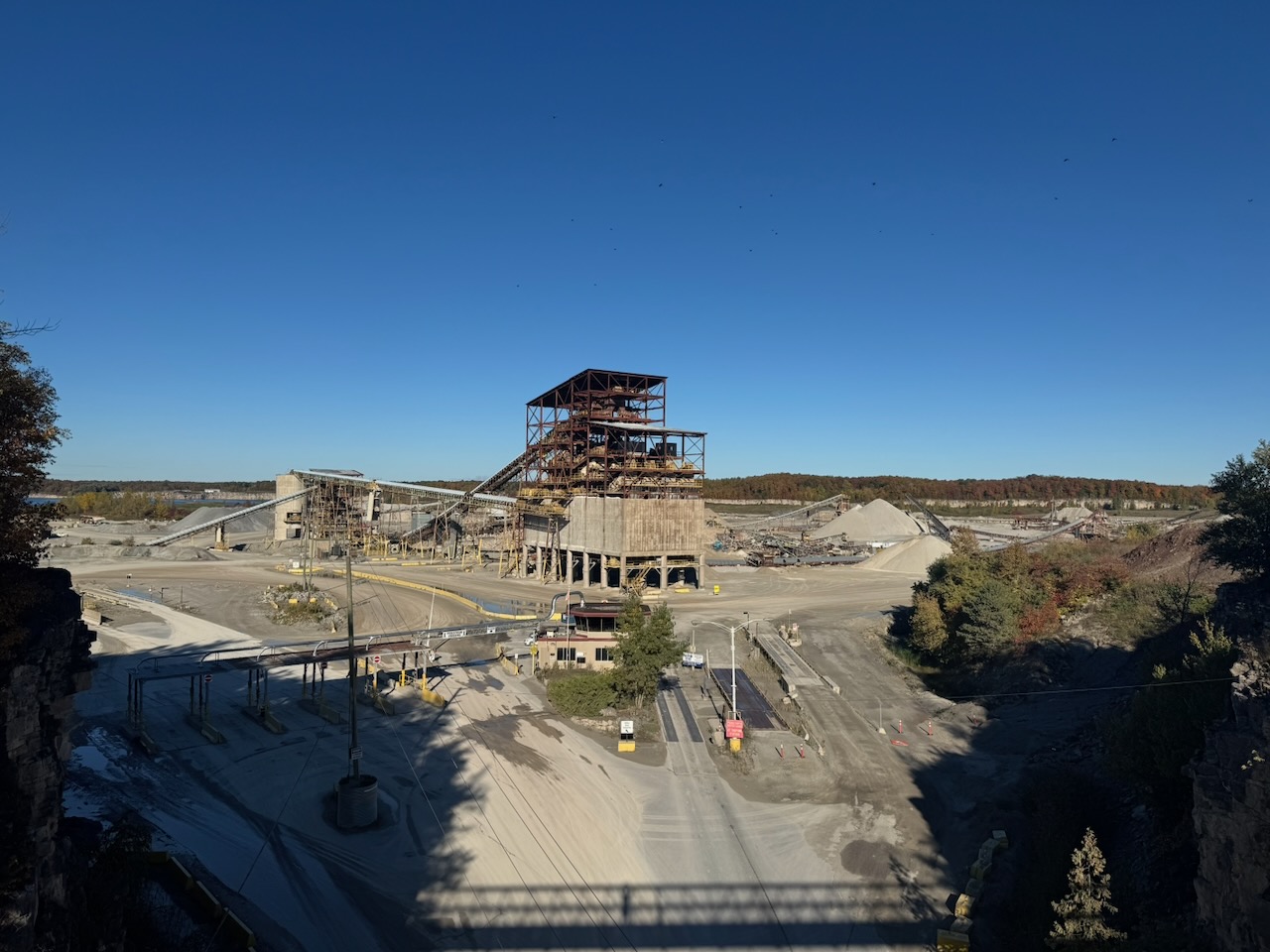
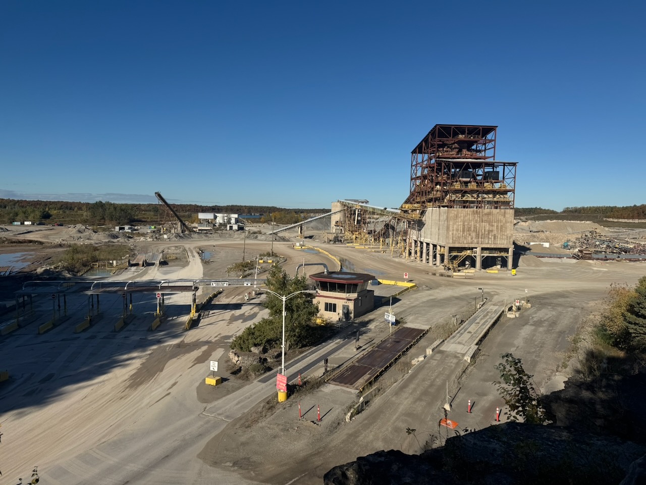
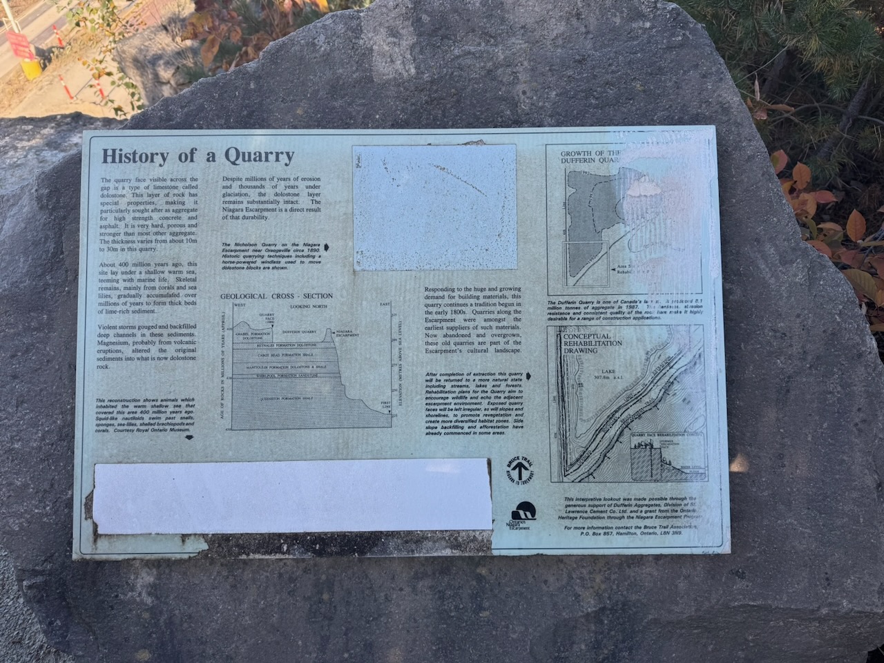
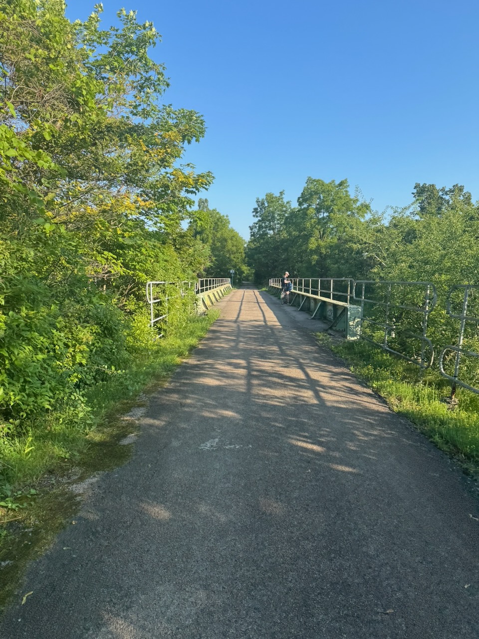
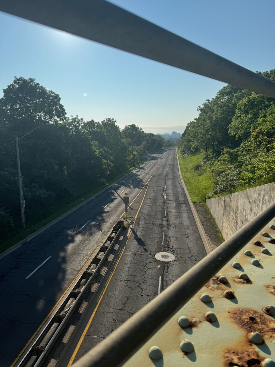
The highlight of the day came next. A large bridge spanned a road cut right through the escarpment. Turns out the reason is because there is a massive quarry on the other side. The rock they are quarrying in this pit is a type of limestone called dolostone, mainly used as an aggregate in concrete. Even though it was Saturday there were still trucks coming and going.

I have no doubt that there are people who hate the fact that industry like this exists on the escarpment, but I’m not one of them. I take comfort in seeing people doing actual work, with actual machines. My own job is getting so far away from anything you could call “work” that it makes me wistful watching the trucks move rocks around.

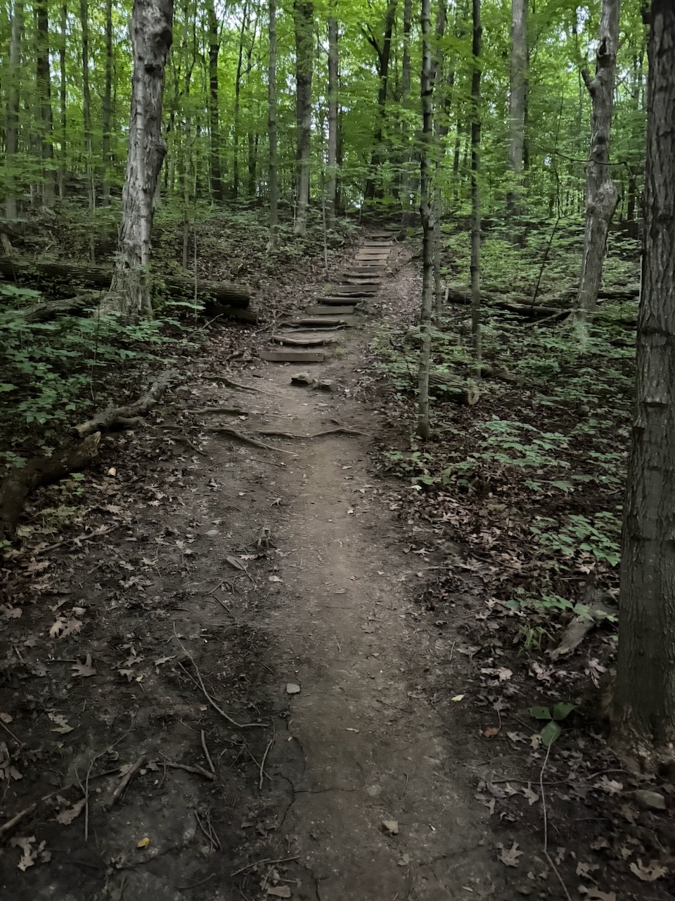
The trail followed the edge of the escarpment for quite a long time after this, later descending and going through wood and past farms and fields. The autumn colours were beautiful, with the clear skies really making them pop. There were many kilometres of walking through the woods, of which there’s not much to say. I normally would have ended just before Limehouse Conservation Area, but as I mentioned, to do the Toronto section in two days I decided to go all the way through it and finish on the other side.

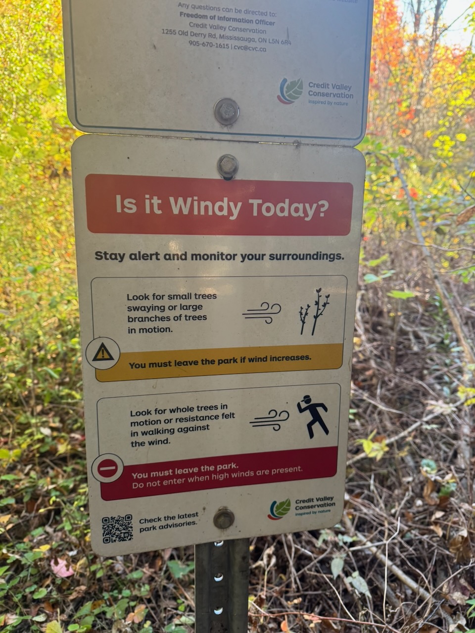
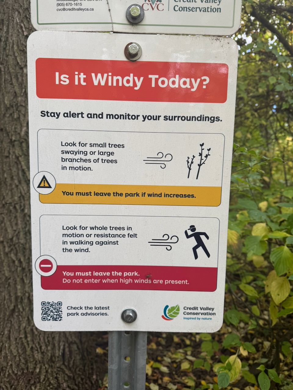
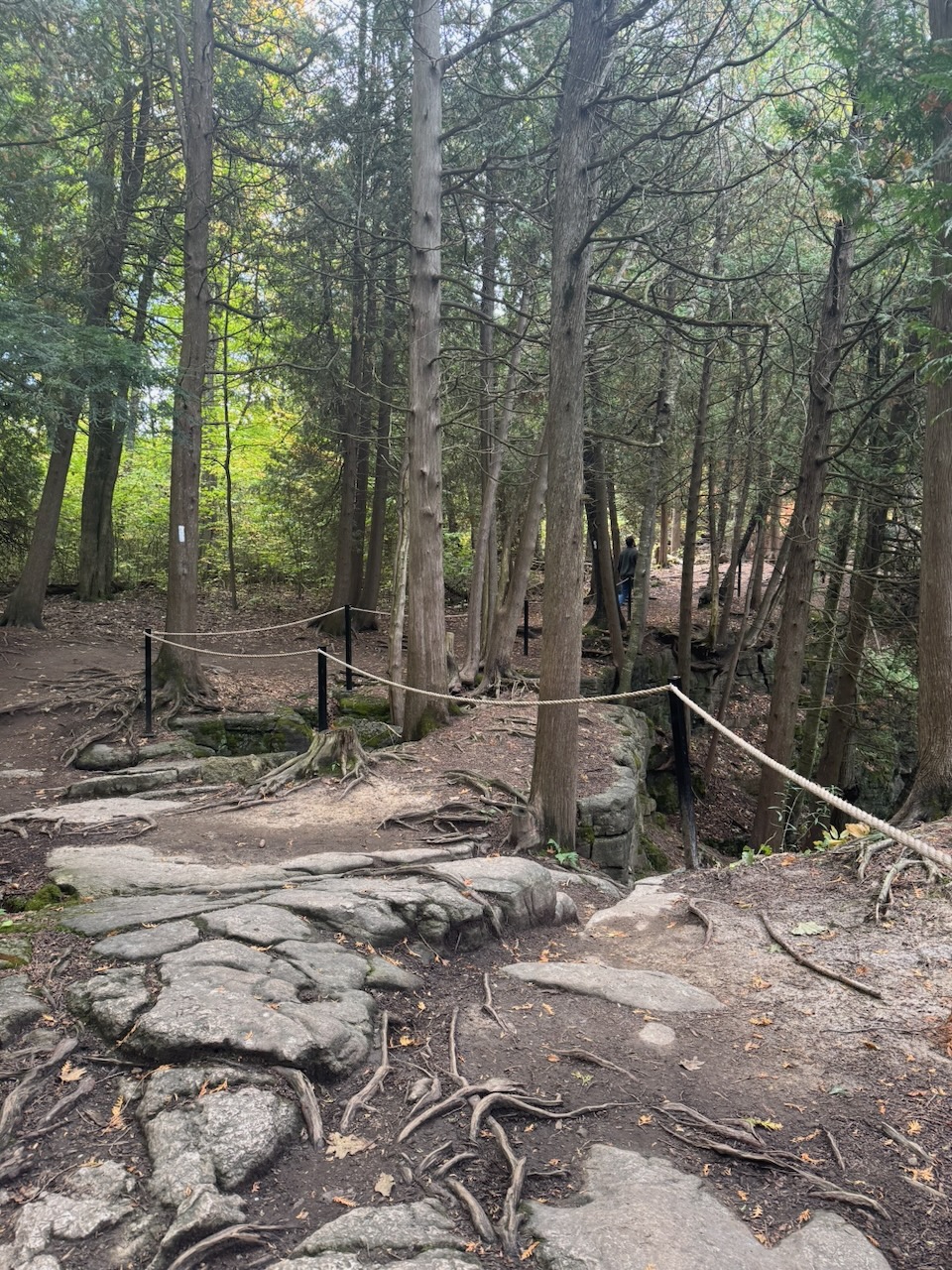
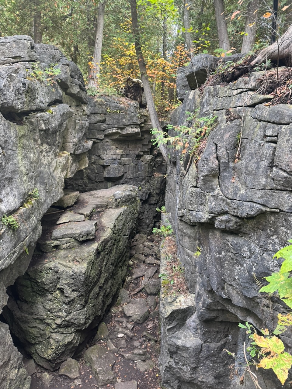
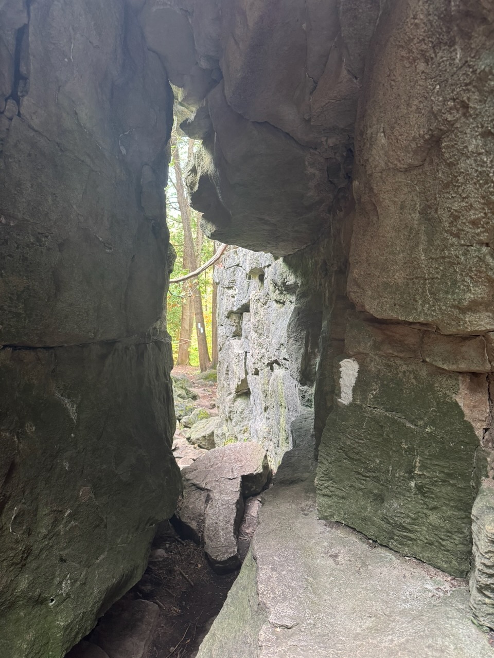
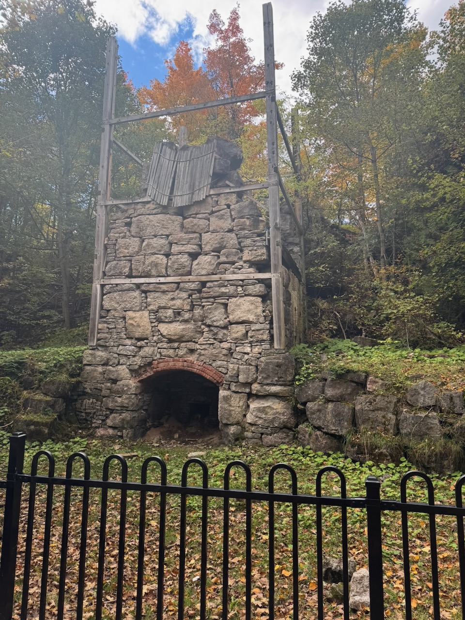
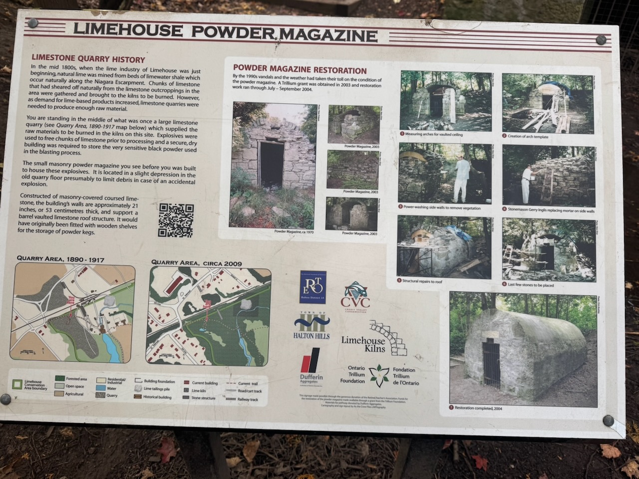
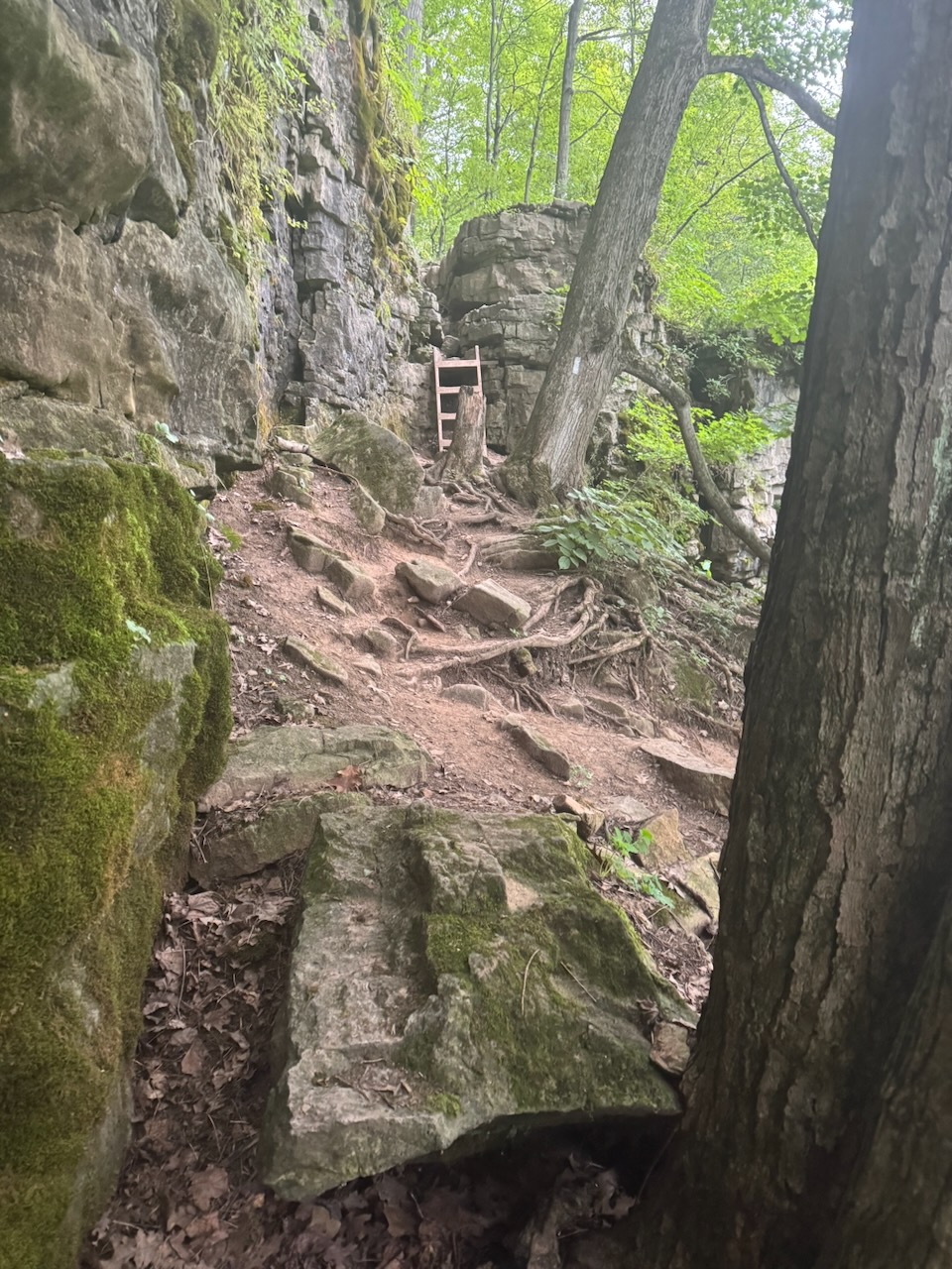
The entrance to Limehouse has a warning sign telling you to be careful about the wind speed. I assumed this would be because there were exposed lookouts with high elevations. But no, there was nothing like that. I have no idea why wind speed would be an issue here. Up until this point I had seen almost no one else on the trail. But Limehouse has “rock formations” which means it was crawling with families and people hiking in Crocs. The “rock formations” are just a ladder that goes through a small cut in a small cliff. They’re unremarkable considering the crowds that had come to see them. I suspect this is mostly because this is the section of the trail geographically closest to Toronto, making it an easy afternoon trip. Turns out this area was once a quarry as well, again for limestone. Unlike the previous quarry, here they would have burned the limestone to make quicklime, probably for use in cement. You can see the remains of a mill, kiln, and powder magazine.

I stopped in the village of Limehouse, and immediately ran into a problem. I had no cellular data signal. This was obviously a bit of a panic, I contemplated calling someone and asking them to order me an Uber, but instead I just started walking toward Halton Hills, hoping that signal would arrive. Thankfully I had to walk no more than a kilometre before my phone showed a 5G signal. There was no issue finding a driver, but after 15 minutes the driver hadn’t moved. I tried messaging and calling but got no response. Thankfully the Uber app now gives you an option to “request a new driver”, which I did. Waiting for the new driver to arrive meant I spent about 40 minutes just waiting. Including the drive back, it was after 2PM by the time I got to my car. The parking lot at Glen Eden was now absolutely rammed, to the point they needed traffic wardens. I went to McDonald’s and scarfed down a “snack wrap” for a late lunch. It was only five dollars for a “meal” and not bad actually.

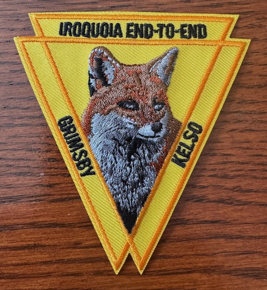
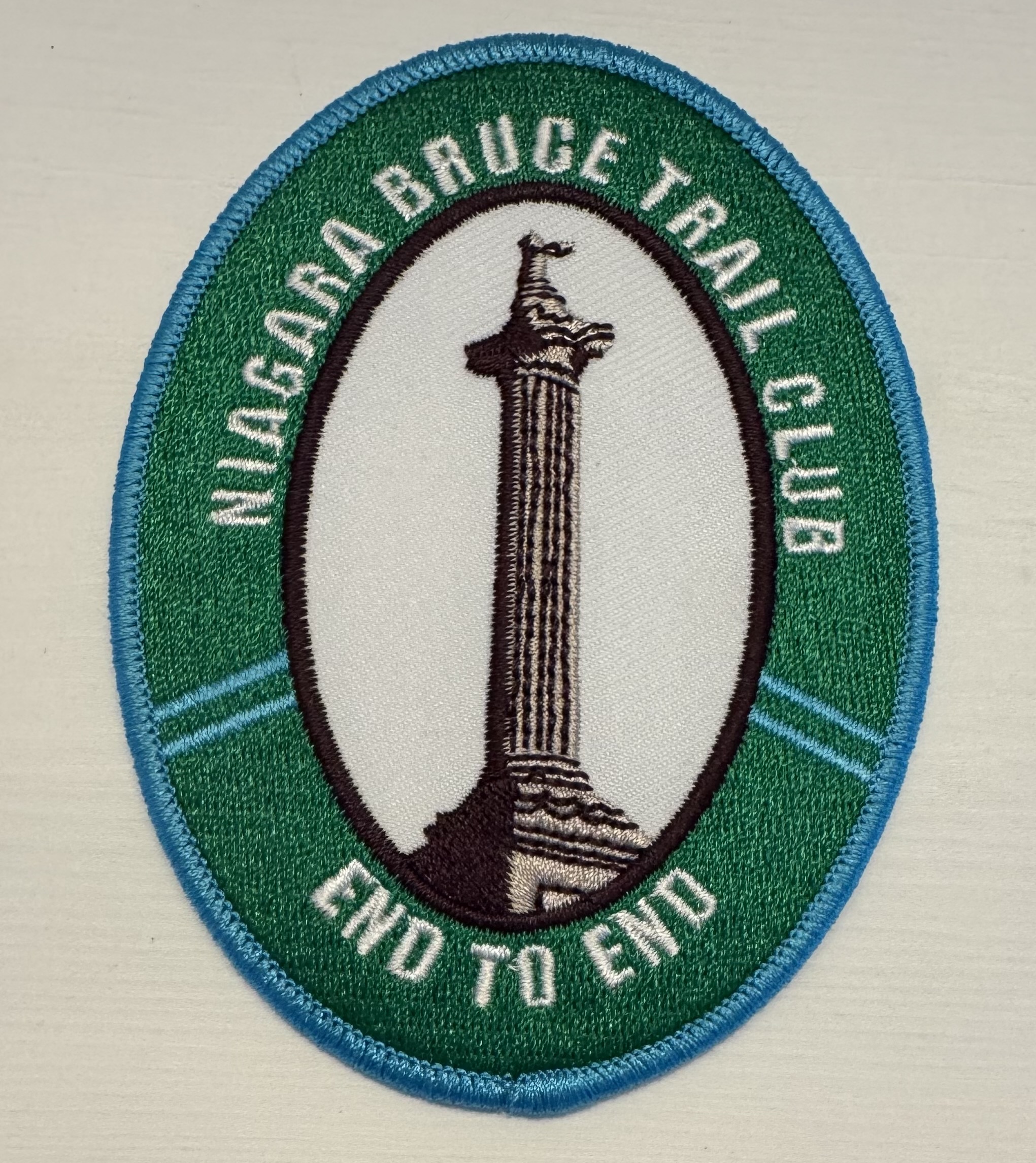
My Iroquois end-to-end badge arrived!

Notes for next time:

  • As the sun rises later and later in the day, it would be a good idea to pack a lunch of some kind that isn’t trail mix.

Only 642.7km to go!
Hike the Bruce Trail Day Twelve: Pits and Lands

Hike the Bruce Trail Day Eleven: Peaks and Valleys

This time I started in the early afternoon. A lot of ups and downs, and our favourite road makes another appearance.

Start: North Burlington Tennis Club

End: Glen Eden

Distance: 21.2km

Weather: 21C with scattered cloud

The Route

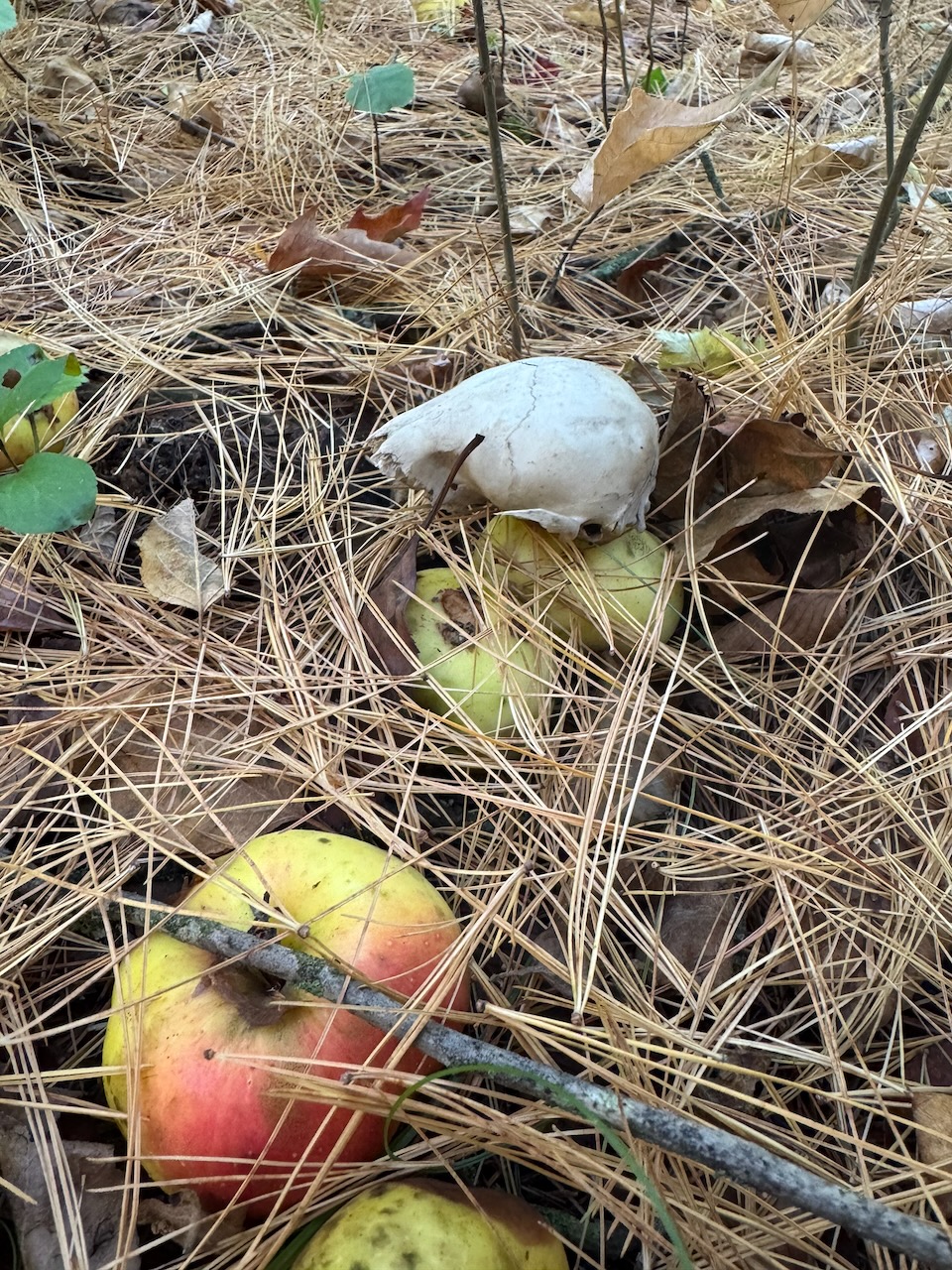
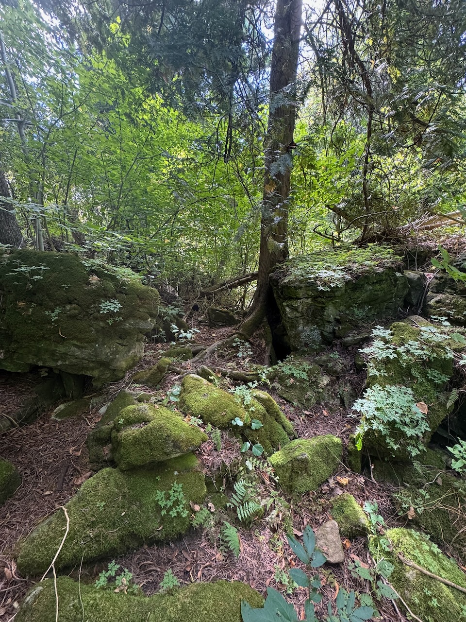
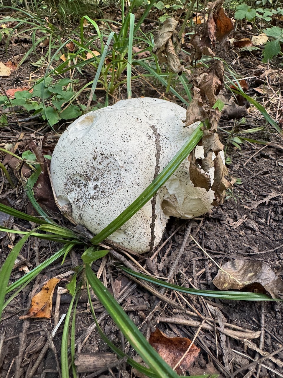
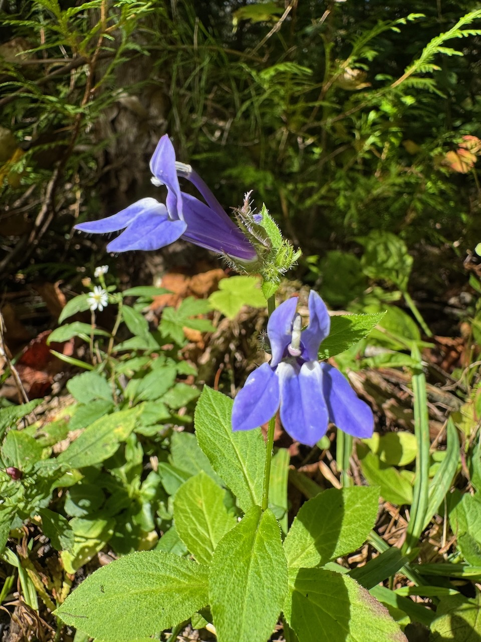
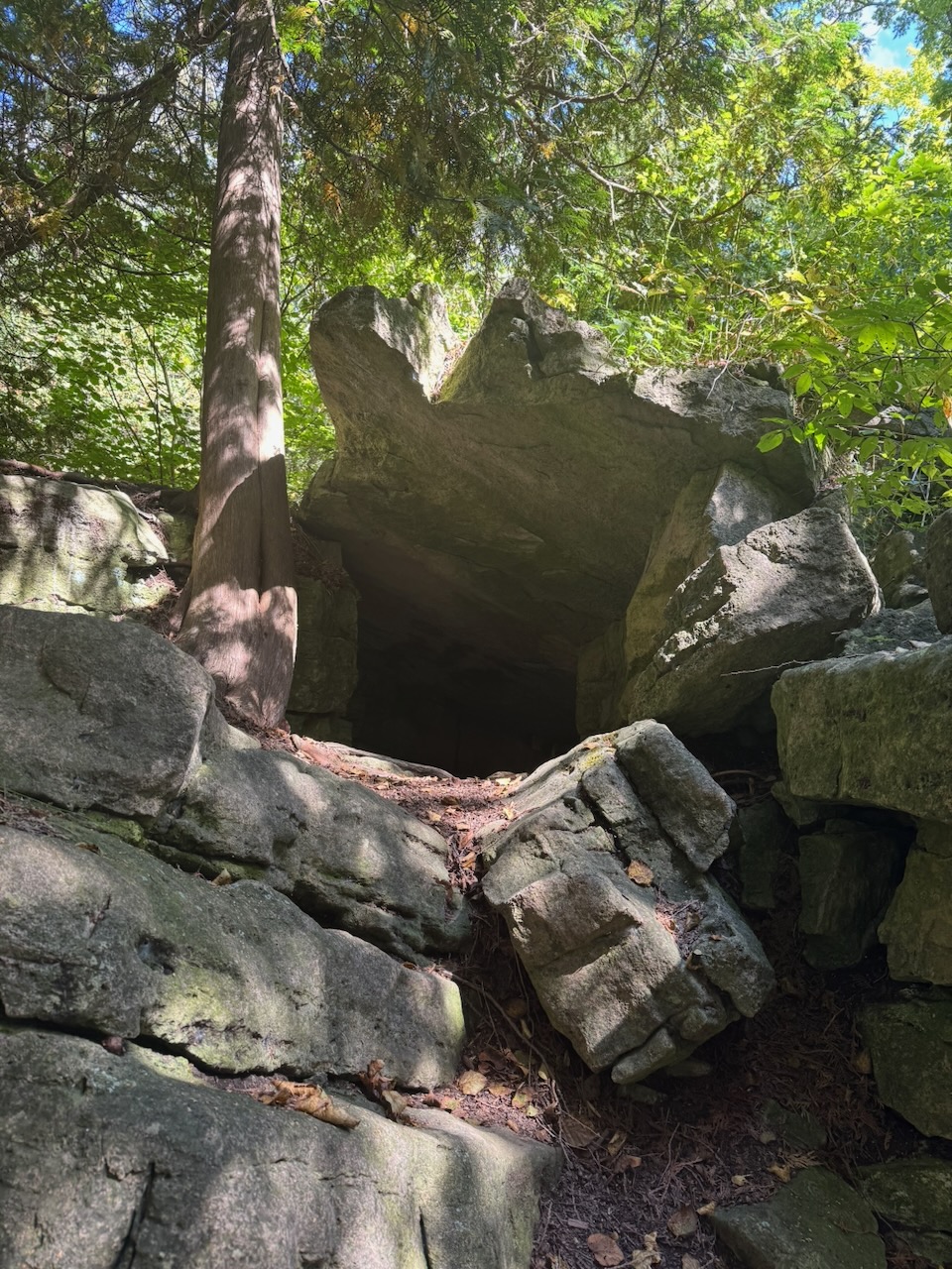
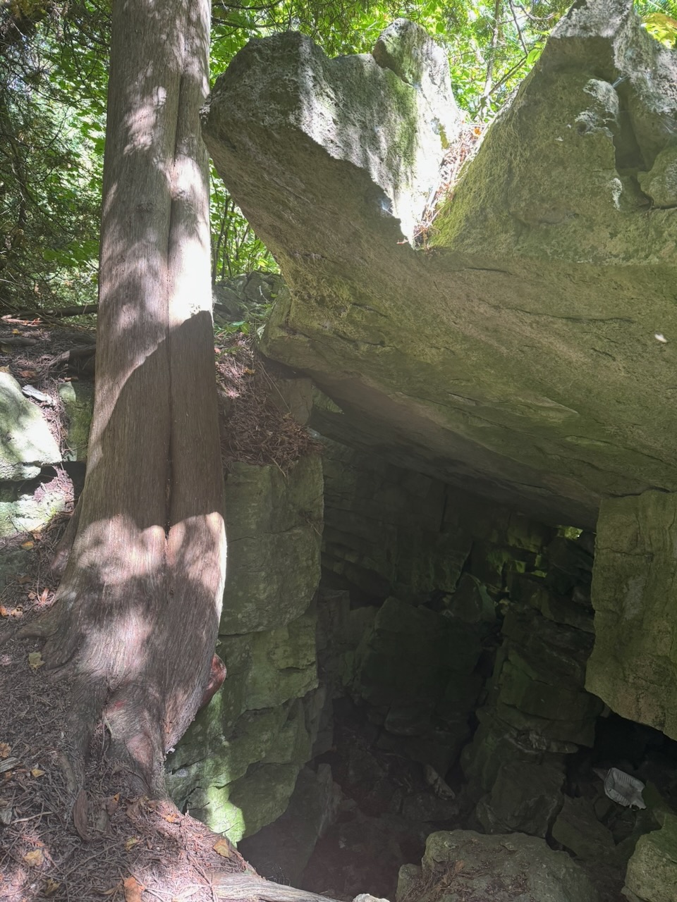
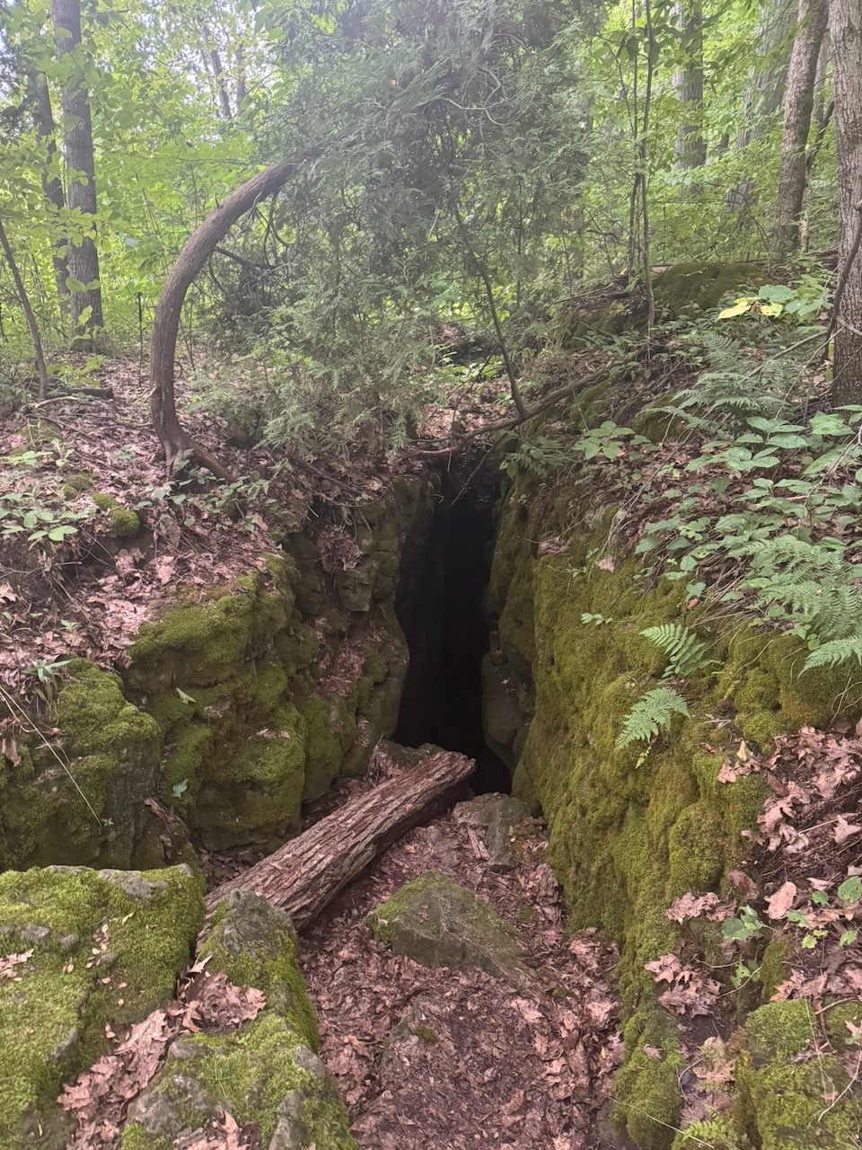
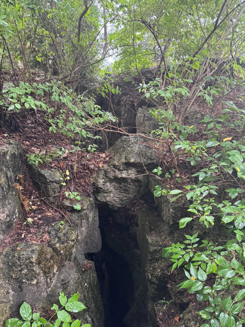
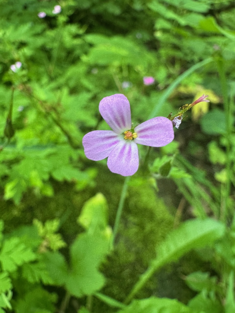
The hike began with some pretty standard trails through the woods. I noticed some flowers I haven’t seen before and lots of that strange puffball fungi. Eventually I stumbled upon some nice rock formations, including a cave.

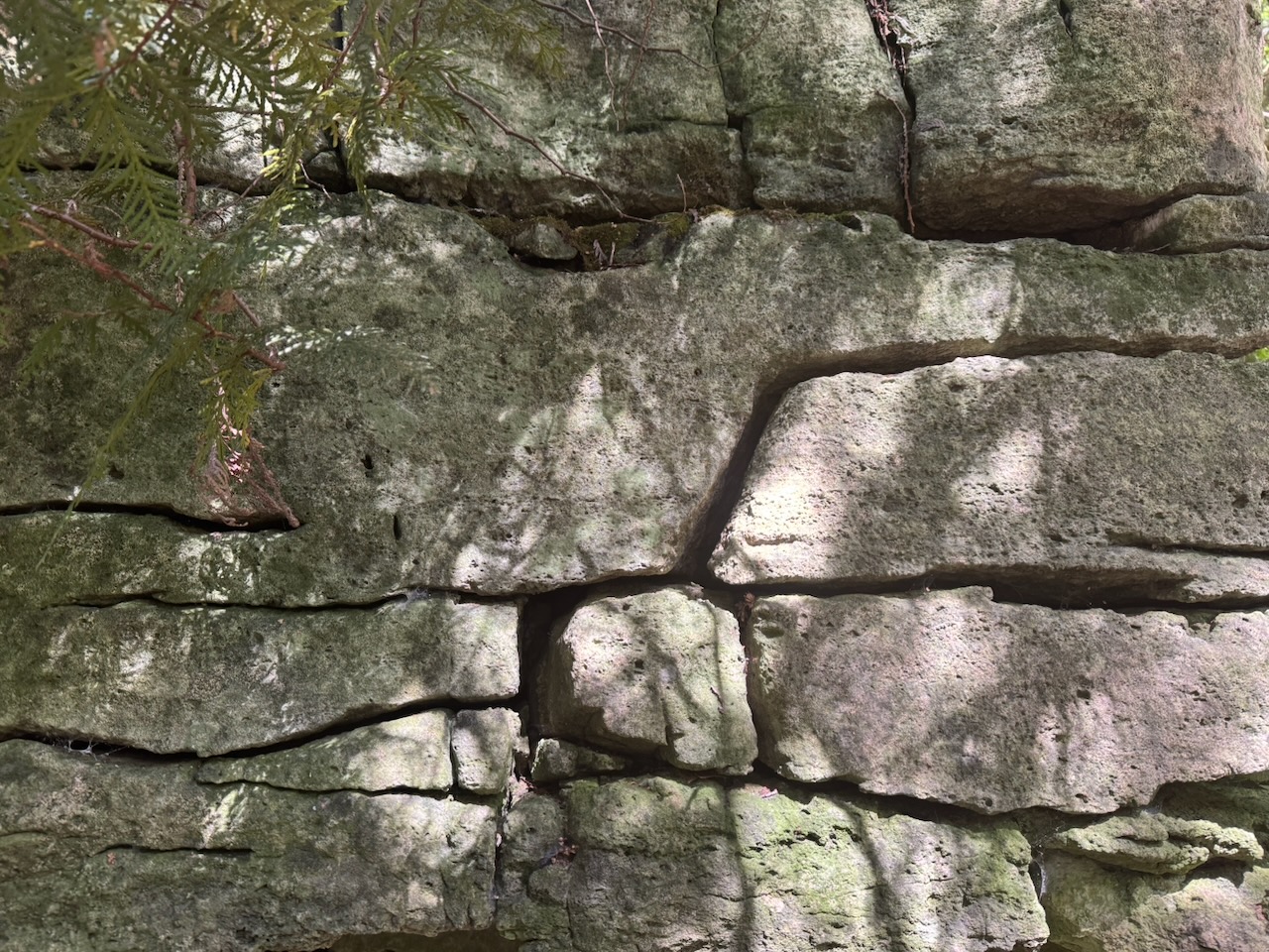
I enjoy looking at the layers of rock that you see along the escarpment. Since the escarpment itself is essentially the shoreline of an ancient sea, each “layer” represents millions of years of sand, silt, and sea creatures. It’s very humbling to think that these layers of rock were originally formed about 200 million years before the dinosaurs. They’re as far back in the dinosaurs’ past as the dinosaurs are to us. Two hundred million years from now nothing that humanity has done will survive, except perhaps a layer of rock with elevated radioisotope levels.

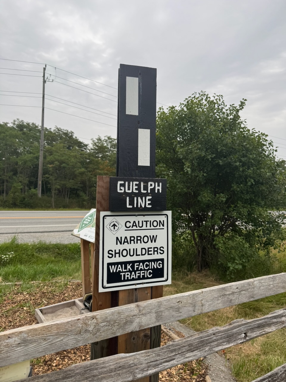
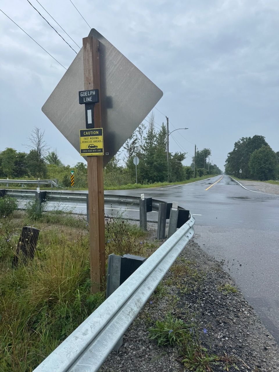
Shortly after this I was spit out onto… you guessed it… Guelph Line! Why not just call the Bruce Trail the Guelph Line Trail.

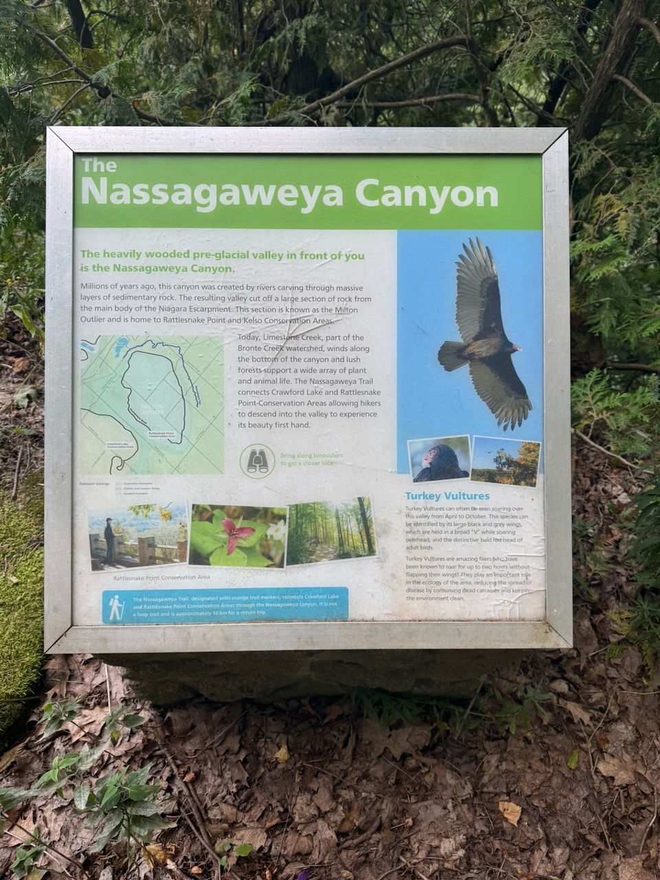
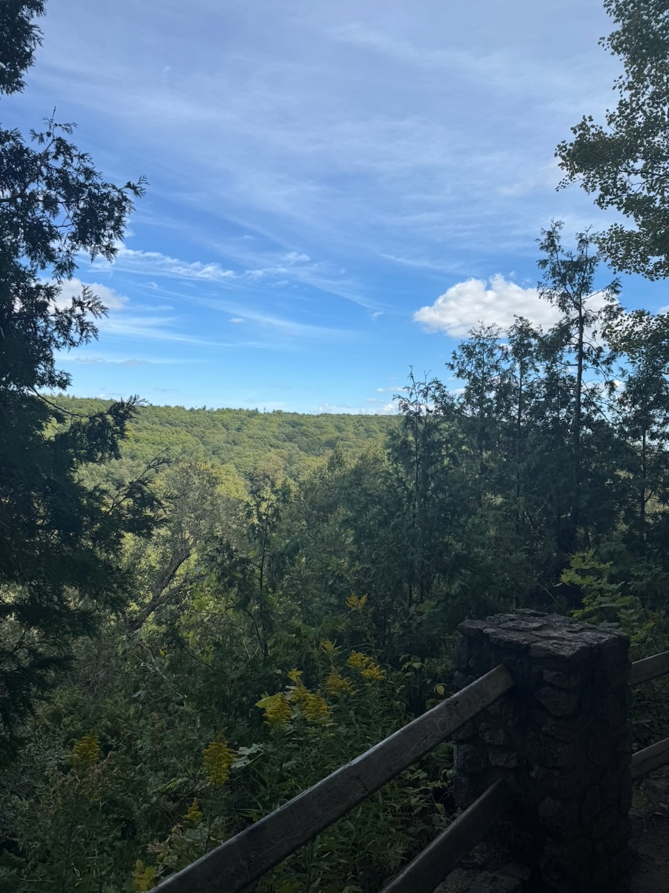
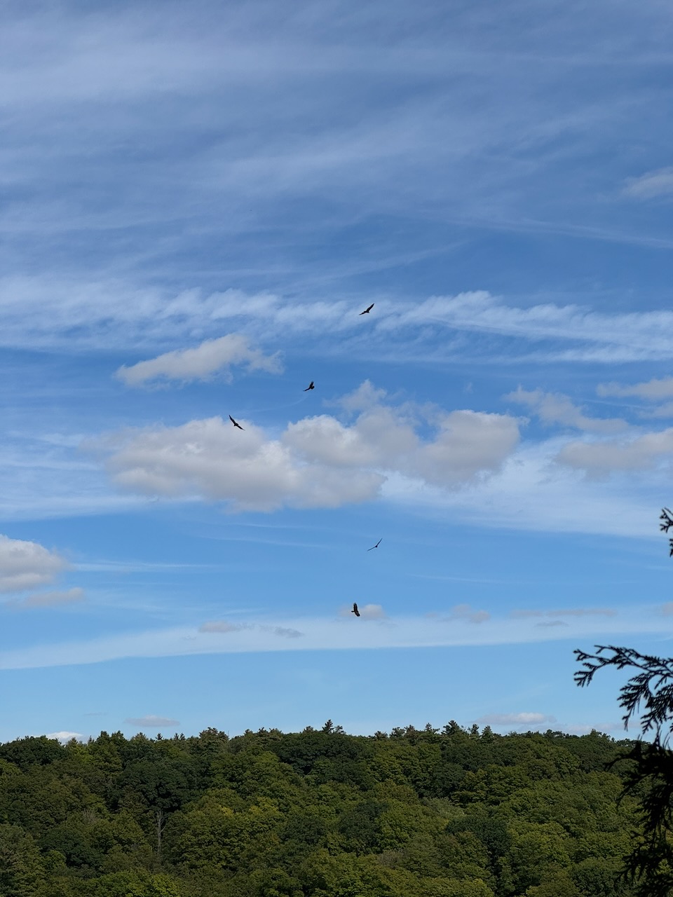
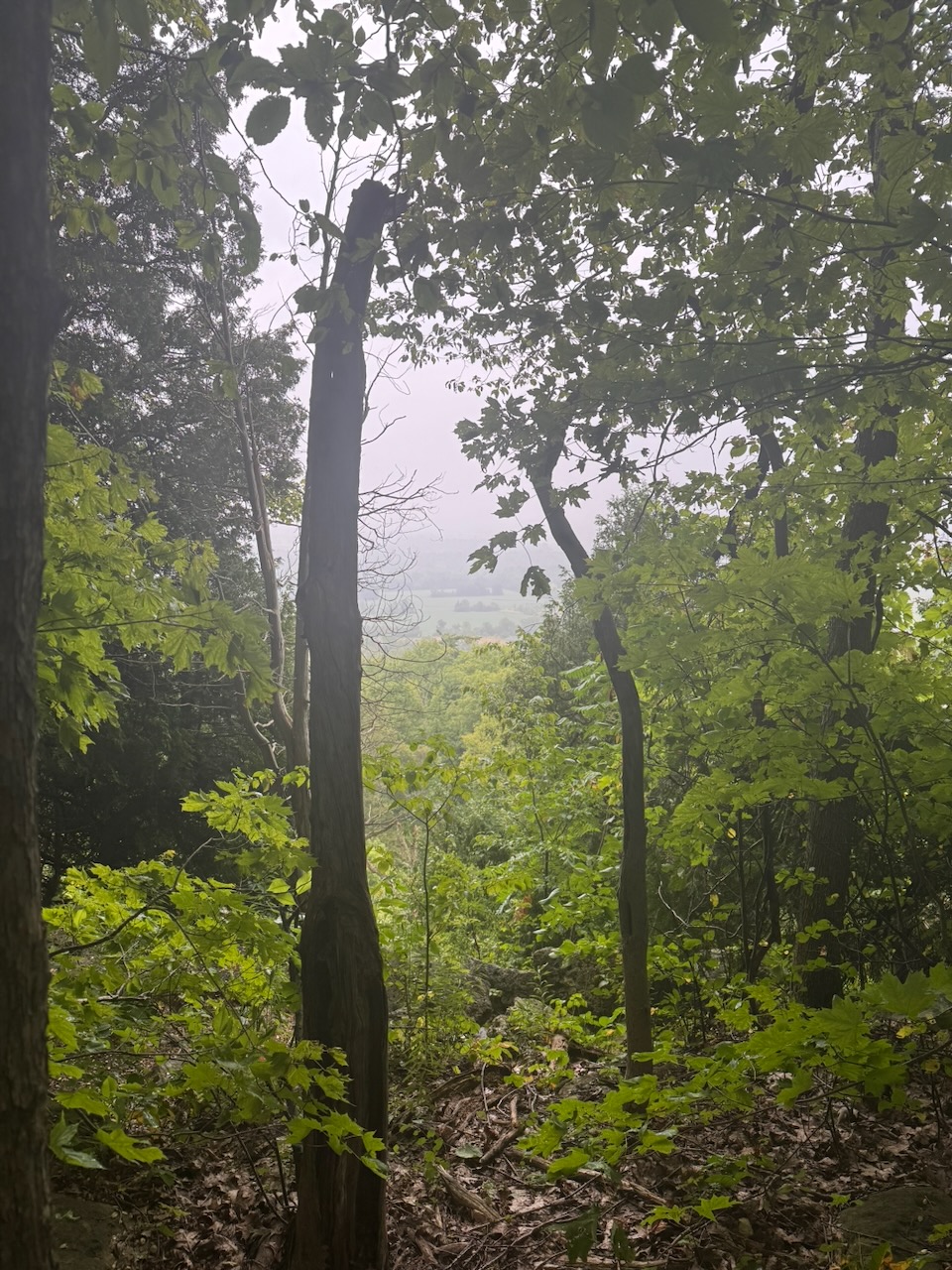
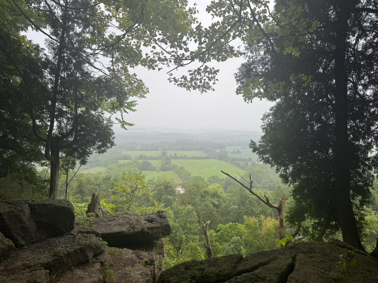
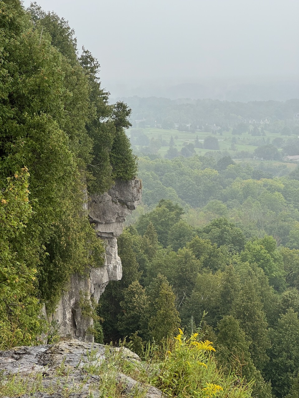
After this the trail started climbing, and I found myself on top of the escarpment, looking out over Nassagaweya Canyon. There was another hiker up here cooling her heels. As in literally, she was taking her shoes off and hanging her feet over the edge. Here I was reunited with my old friends the vultures. More than two this time. Yes, I’m assuming they’re still the same ones.

As you can see from the map, the trail really zig-zags through the valley. There are side trails that allow you to short-cut your way through, but I resolved to stick to the main trail. The valley was really quite lovely, something about the late afternoon sun peeking through the clouds really made the colours pop.

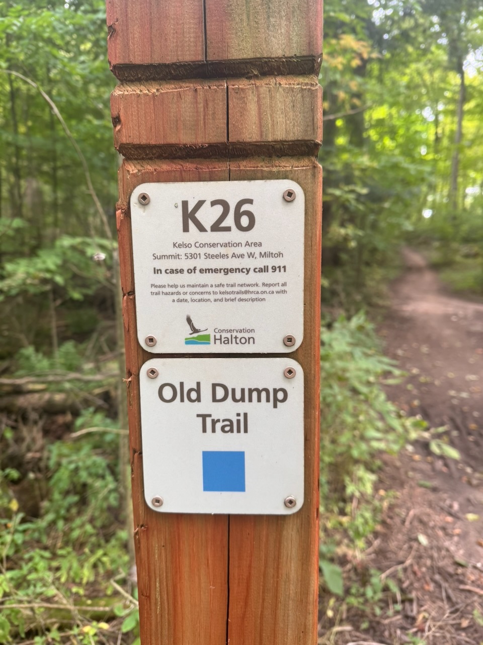
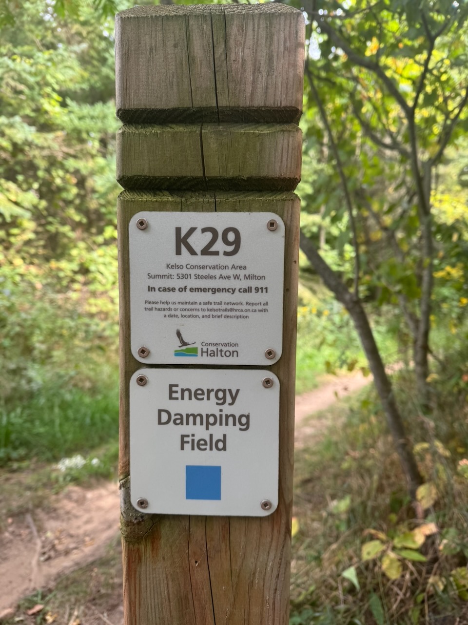
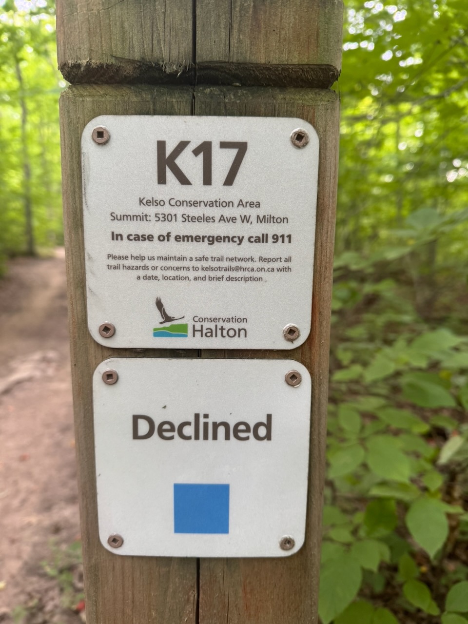
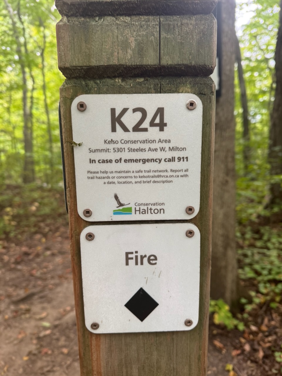
After a brief on-road stint on Applebee Line, I entered Kelso Conservation Area. I’d really love to meet whoever named the trails here, they are hilarious. In addition to the pictured “Old Dump Trail”, “Energy Damping Field”, “Declined”, and “Fire” there is “Rough Trade, “Road to Ruin”, and “Disco Inferno”. After climbing up the back of the escarpment towards Glen Eden I was excited when I heard what I thought was falling water. But it turns out it was just a strong wind blowing through the maple trees.

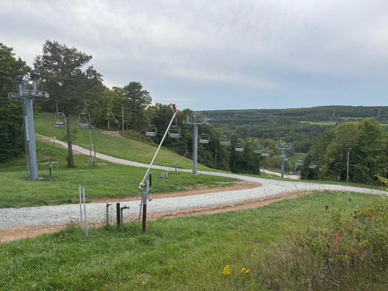
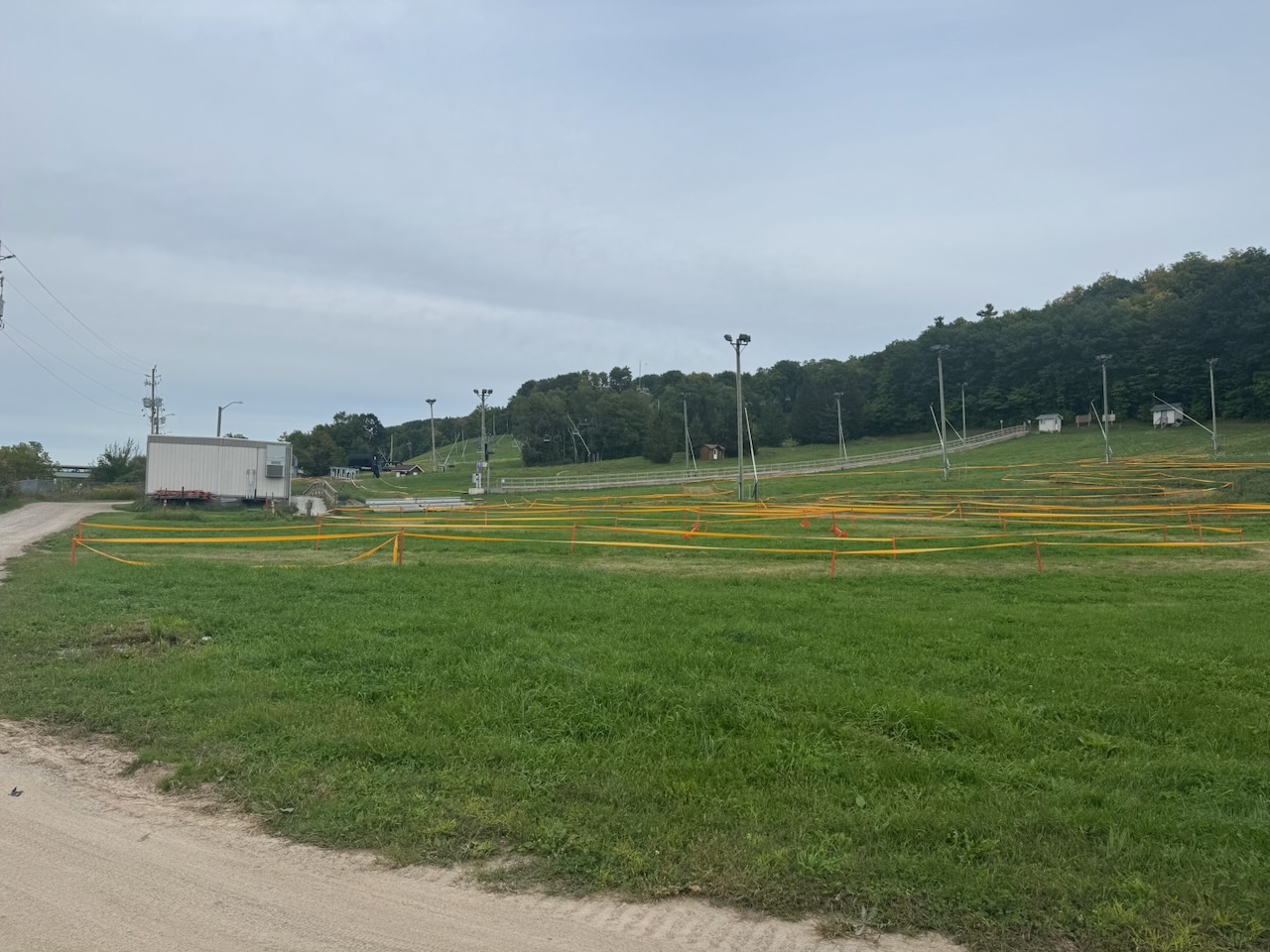
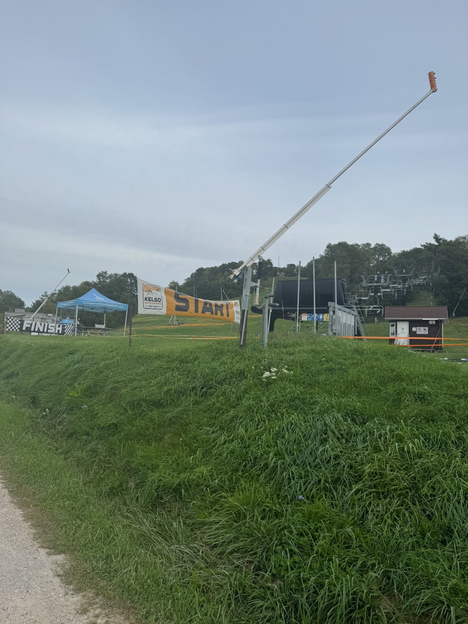
After the view the trail descends Glen Eden “ski hill” which seems pretty tame as fas as ski hills go. It looked like they were setting up a course for some sort of mountain biking competition. After crossing a rail line I stopped in the Glen Eden parking lot. Kelso is the end of the Iroquois section of the trail, so I can apply for another end-to-end badge!

Only 666.7km to go!
Hike the Bruce Trail Day Eleven: Peaks and Valleys

Hike the Bruce Trail Day Ten: The Long Road

There were lots of roads on this hike.

Start: Springer Cres.

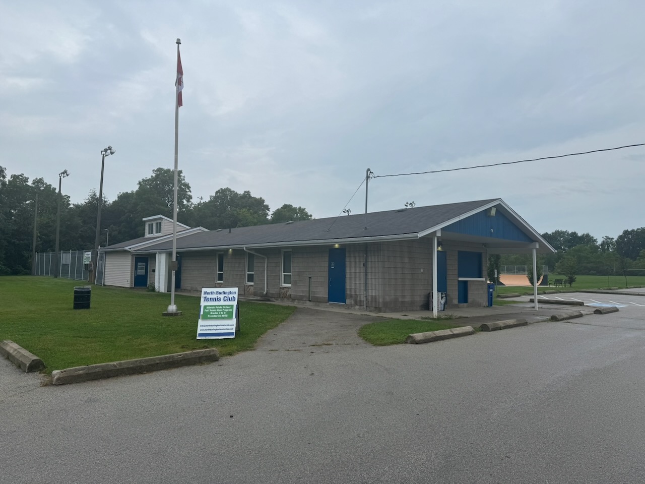
End: North Burlington Tennis Club

Distance: 20km

Weather: 22C and overcast with rain

The Route

The weather didn’t look good, but it didn’t look bad either. According to the forecast from the night before, the area I’d be hiking would be clear in the morning, with rain starting some time in the afternoon. That wasn’t quite accurate. However, believing the weatherman (or weather app, there’s hardly ever a man involved anymore) I set out at about 5:30AM from the lake with normal clothes and running shoes. The runners were because I noticed that this hike would have a lot of “on road” sections. Runners are more comfortable on roads, and I can also save time by… running.

As I mentioned in the previous post, the area where I last stopped had no parking per se. Nonetheless I parked on the narrow street and hoped the car would still be there when I got back.

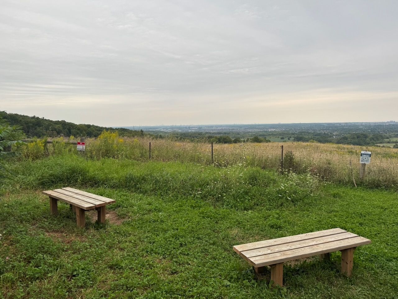
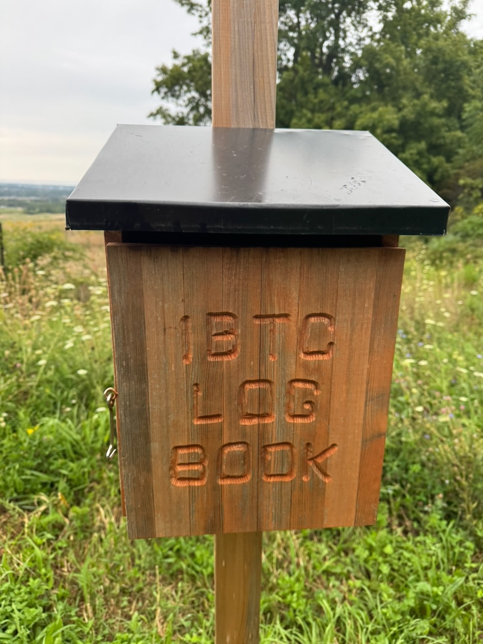
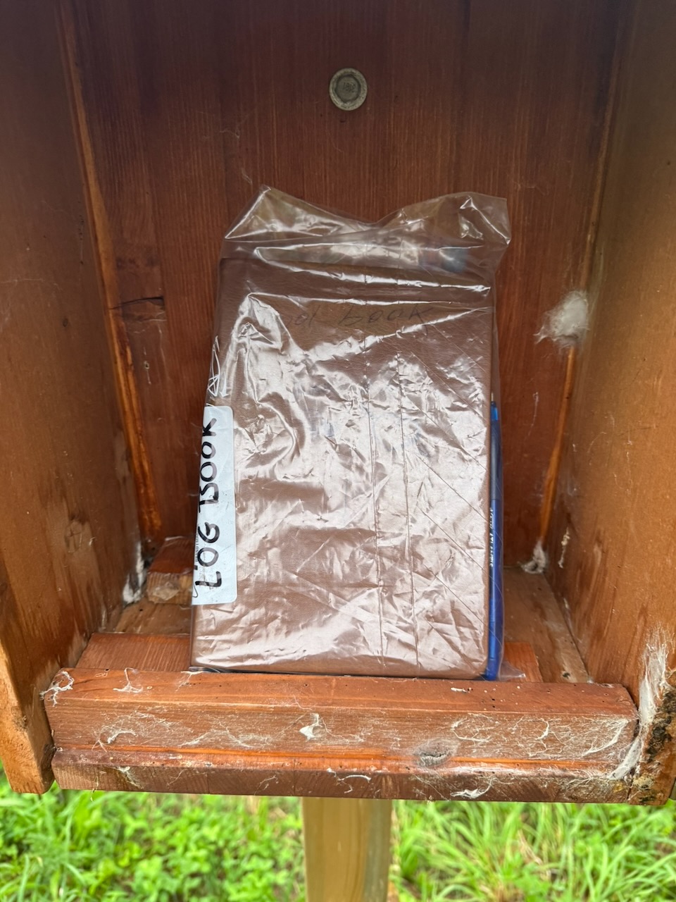
The day began with some pretty bog standard meadows and fields (no bogs though). Some of the trail goes through private property, and whoever owns some of this part had setup a little area to look out over Lake America (topical humour!) along with a logbook for hikers to record their names. I dutifully recorded the date along with my name and my intention to hike the whole trail.

The main thing I noticed at the beginning of the day was the light. Since it’s now the end of August, the sun is coming up later. This, along with the heavy cloud cover, made the forest dark. I mean noticeably dark. It was actually quite nice, and the crickets seem to have loved it.

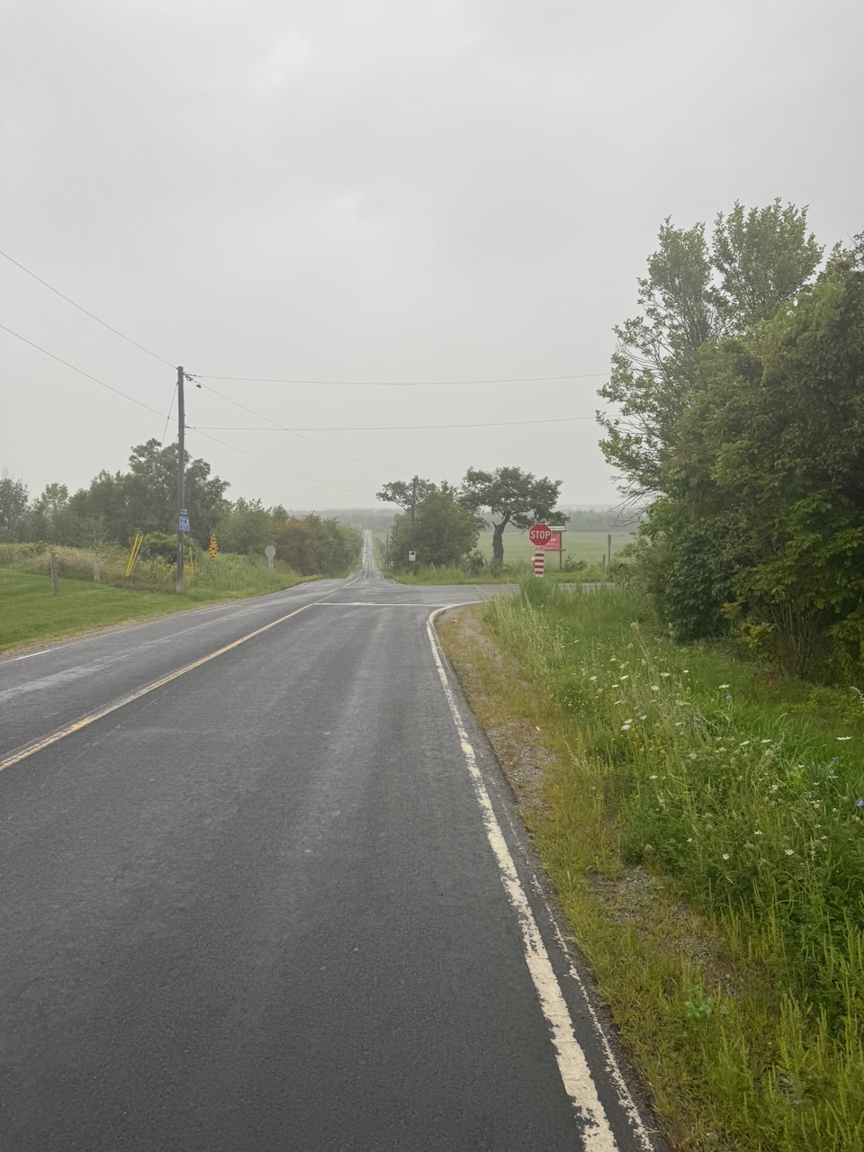
After this the first road section started, with the trail spitting me out onto Guelph Line. I thought that the road sections would be terrible like the last hike. However, instead of walking past strip malls and Shoppers Drug Marts, these roads were country roads, with farms, horses, cows etc. Since the roads were well paved, mostly flat, and with little traffic, I saw many cyclists. It occurred to me that walking has one advantage over other forms of transport: There’s no penalty for stopping. If you want to stop just for a moment to take a picture, look at something, or just listen, you can. Stopping your bicycle or car involves the bother of getting started again, and such vehicles seem to induce the desire to cover as much ground as possible. When you walk you can stop and listen to the crickets just because.

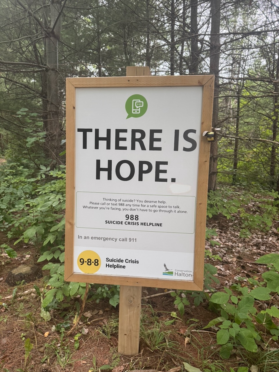
The roads ended at Mount Nemo Conservation Area. There are two large signs at the entrance. One telling you that all visitors must pay a fee. The other telling people not to commit suicide (presumably by jumping off the cliffs above). I’ve never been one for doing what other people tell me, so I didn’t pay the fee. I also didn’t commit suicide. Some advice is good advice. On a side note, I’d love to know if anyone has ever paid the fee, and then committed suicide. Maybe they could reduce suicides by offering a refund if you don’t kill yourself?

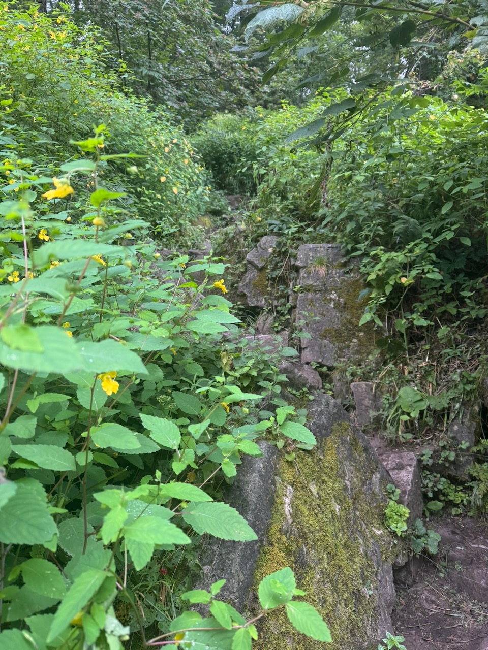
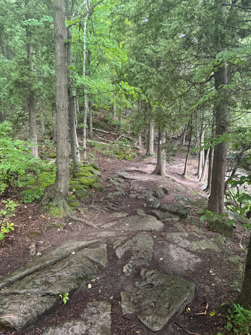
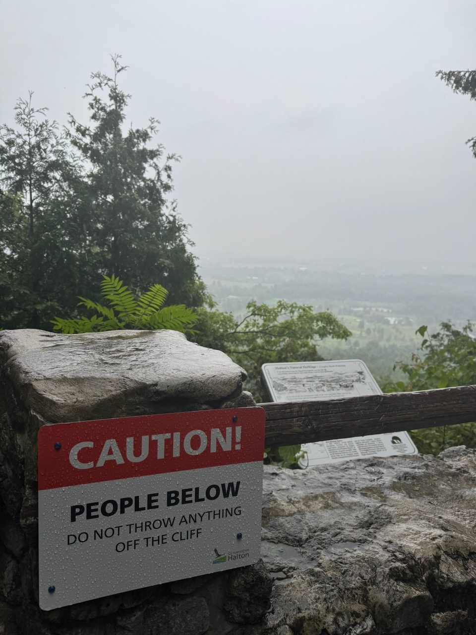
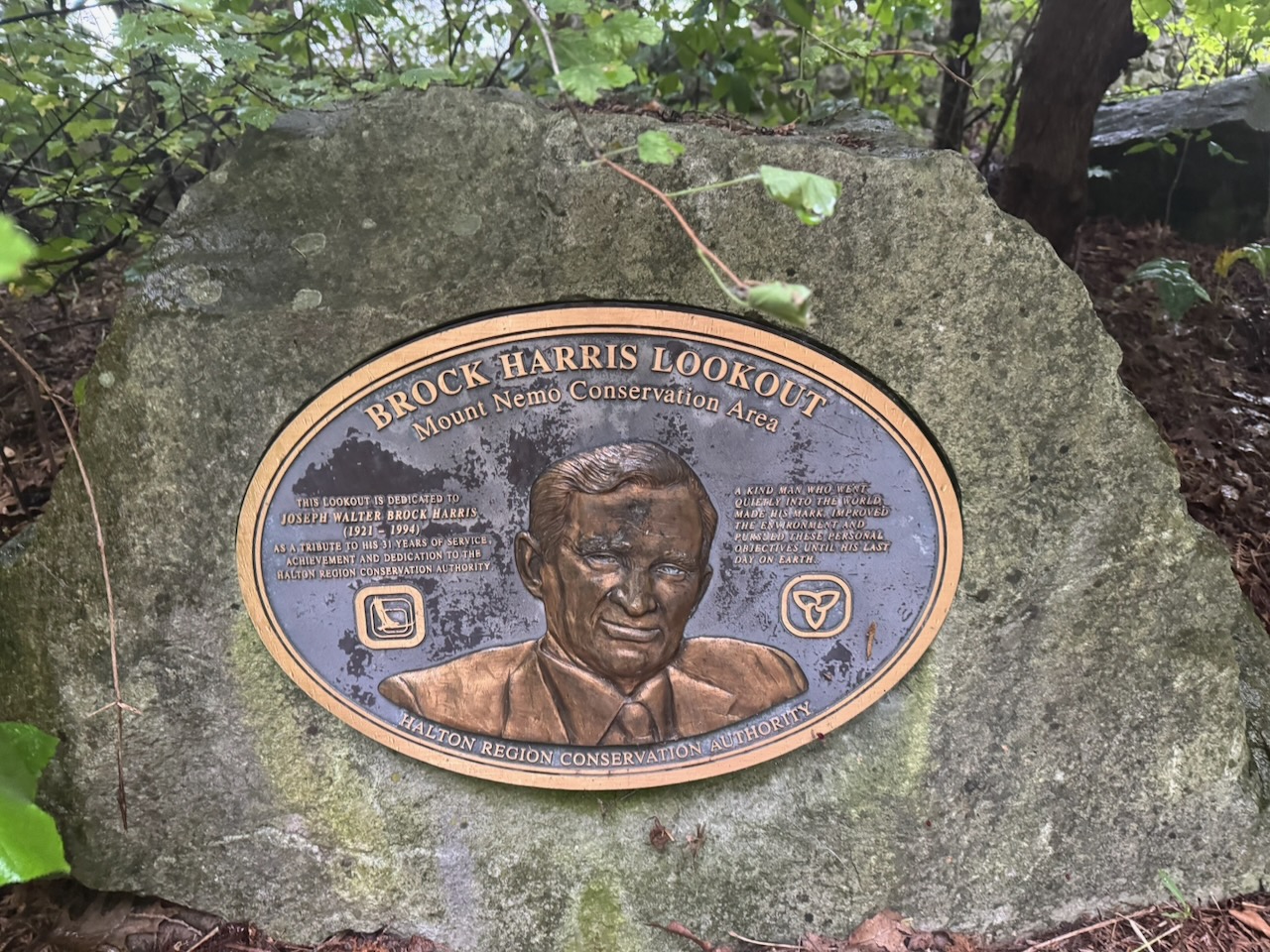
Mount Nemo was fabulous, with rock formations, caves, and lovely views. The views were somewhat hampered by the clouds and rain though. Yes, the rain. Even though it wasn’t supposed to start until the afternoon, it was now raining heavily. With a huge stroke of luck, the rain was almost entirely confined to the time I’d be walking through forest, before another road section. The large trees kept me dry for the next hour. One thing I noticed, the driest trees to be under were cedars. The ground could be soaked under maples and oaks, but underneath the cedar trees is was dry as a bone. If anyone reading this (ha!) knows why, message me.

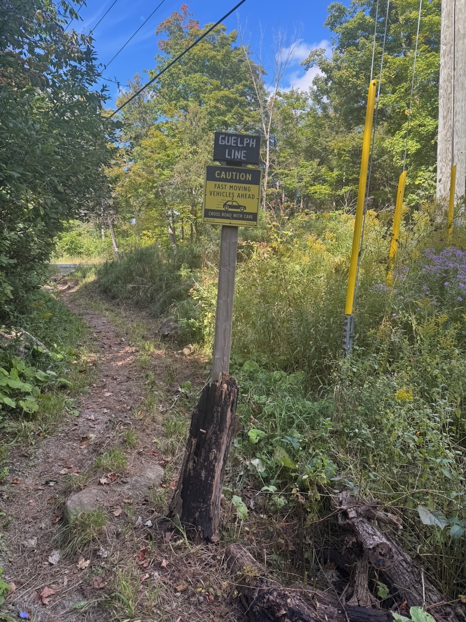
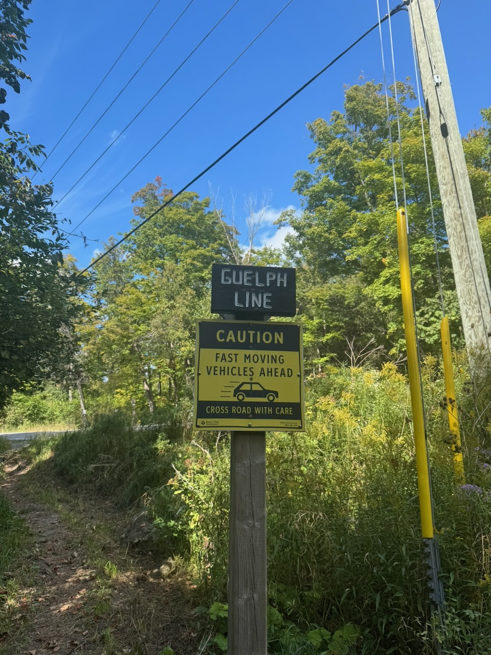
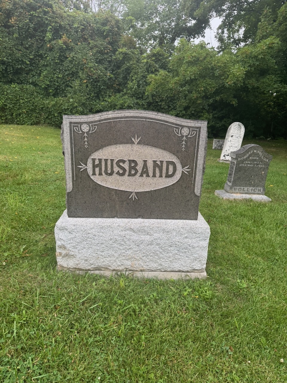
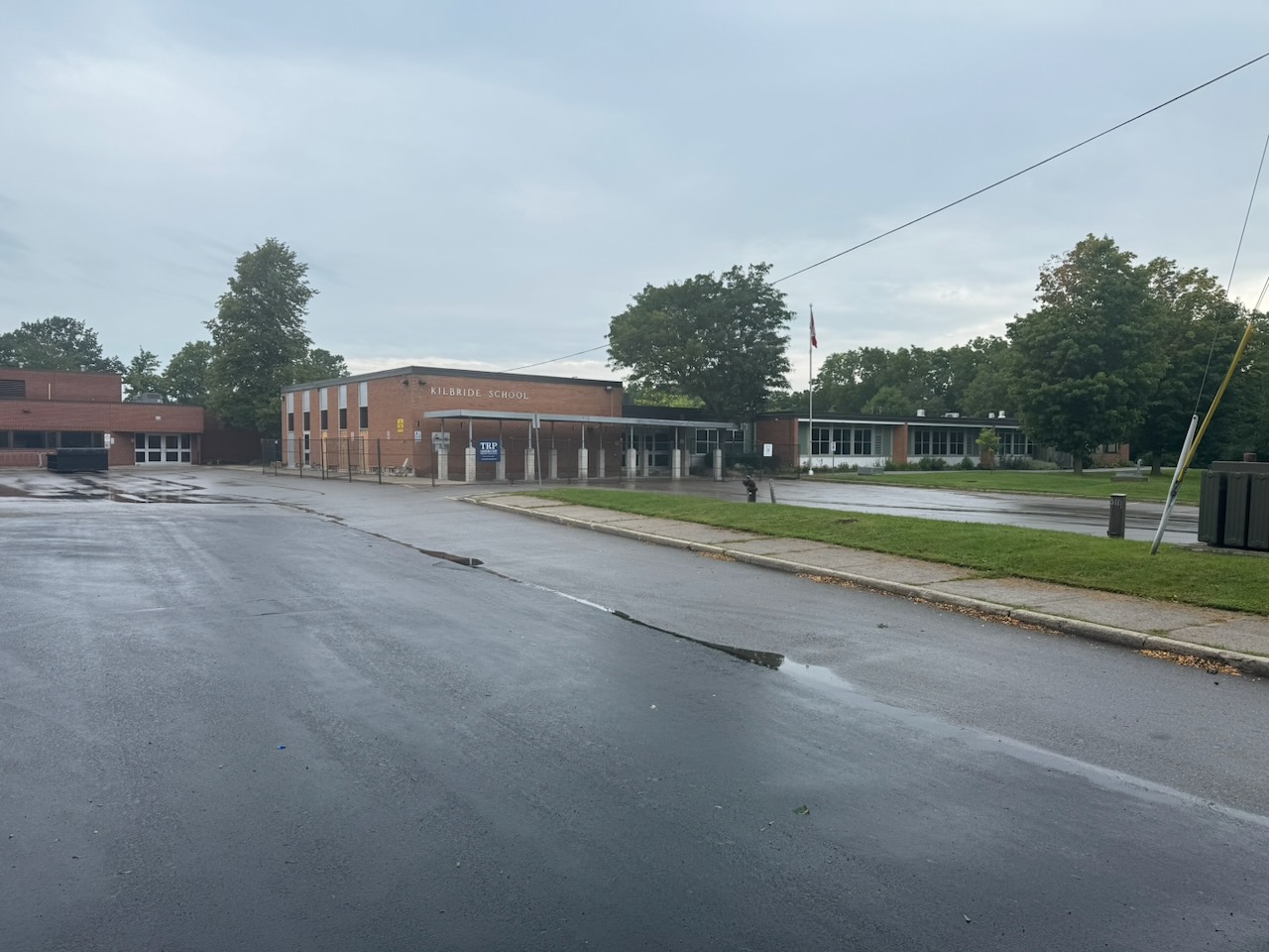
After Mount Nemo I was spit out onto… GUELPH LINE?! Apparently Guelph Line is like the ATL of southwestern Ontario, no matter where you’re going you transfer through it twice. After another short woods section I was spit out onto the roads once more and decided to stop in the town of Kilbride, Ontario. You’ll notice on this hike I passed a gravestone with only the word “Husband” on it, and finished up at Kilbride. If the universe is trying to send me a message I’m not sure what it is.

No problem getting an Uber this time, and the car was still where I’d left it. After one more hike I think I’ll be done the Iroquois section of the trail.

Only 687.9km to go!
Hike the Bruce Trail Day Ten: The Long Road

Hike the Bruce Trail Day Nine: The Grind

Oh dear, it is as I feared, there’s not so much to talk about.

Start: Royal Botanical Gardens Rock Chapel Sanctuary

End: Springer Cres.

Distance: 21.1km

Weather: 25C and sunny

Screenshot

I had to pay $15 to park this time. Combined with the fuel to drive there/back (91 octane), plus the Uber trip to the start point, this is turning into a bit of an expensive hobby.

Borer’s Falls was immediately to the east of my start point and was lovely.

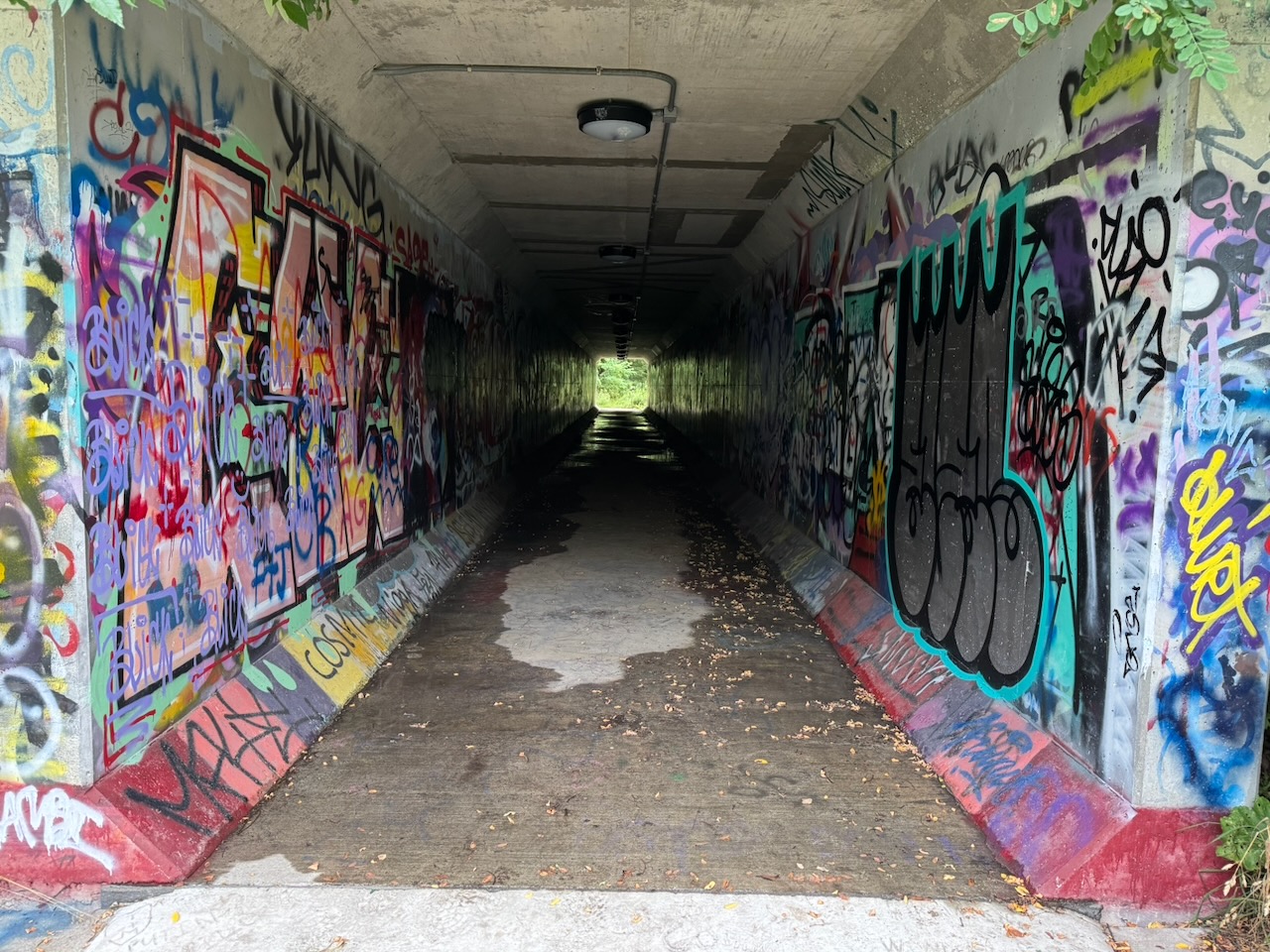
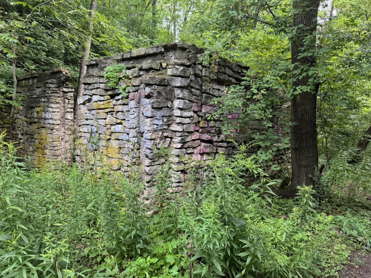
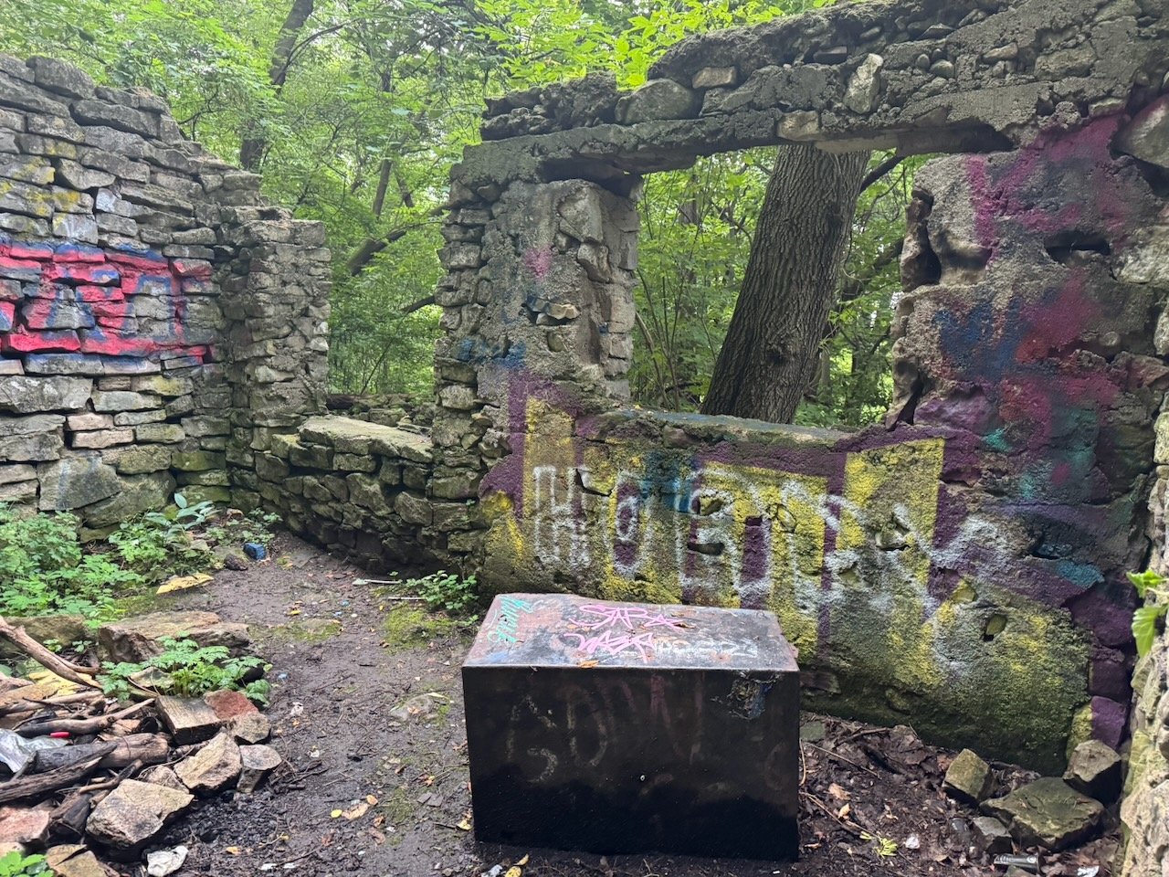
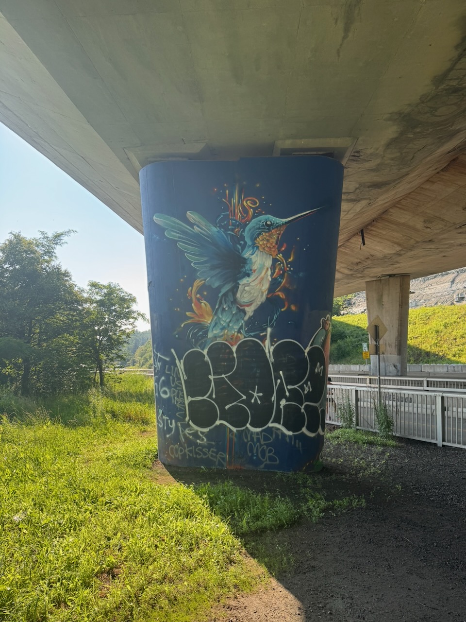
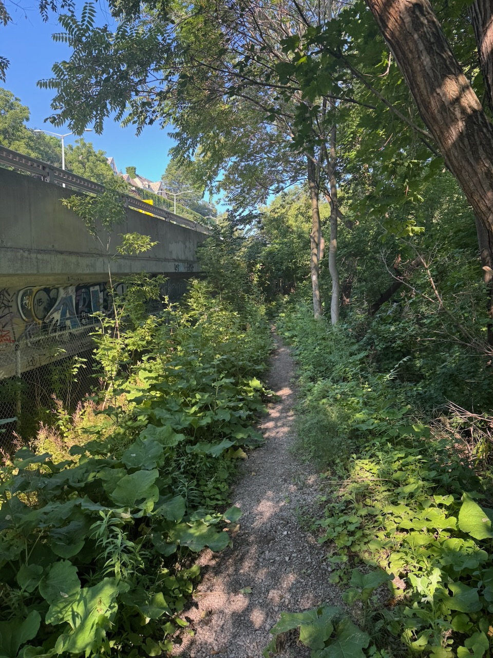
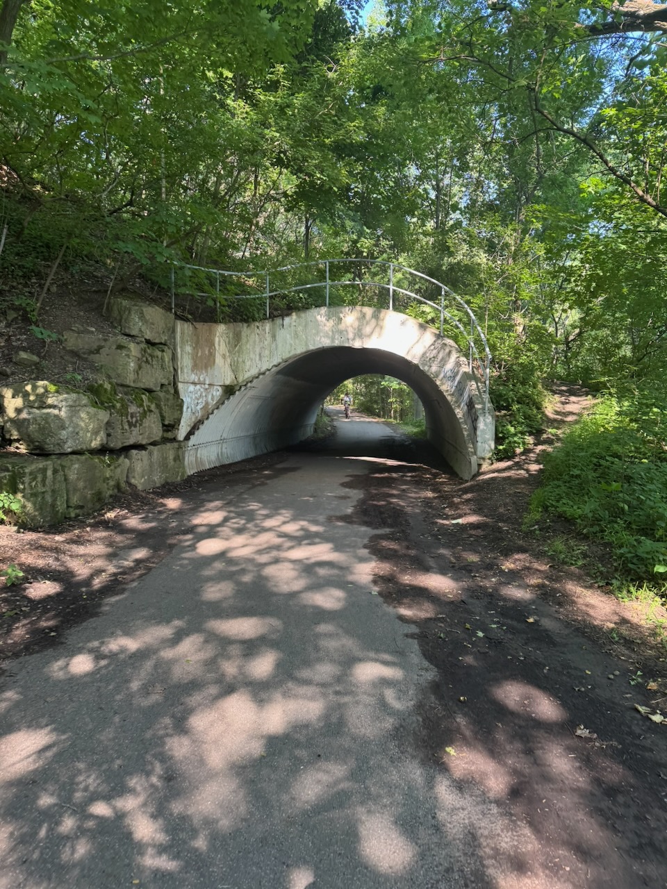
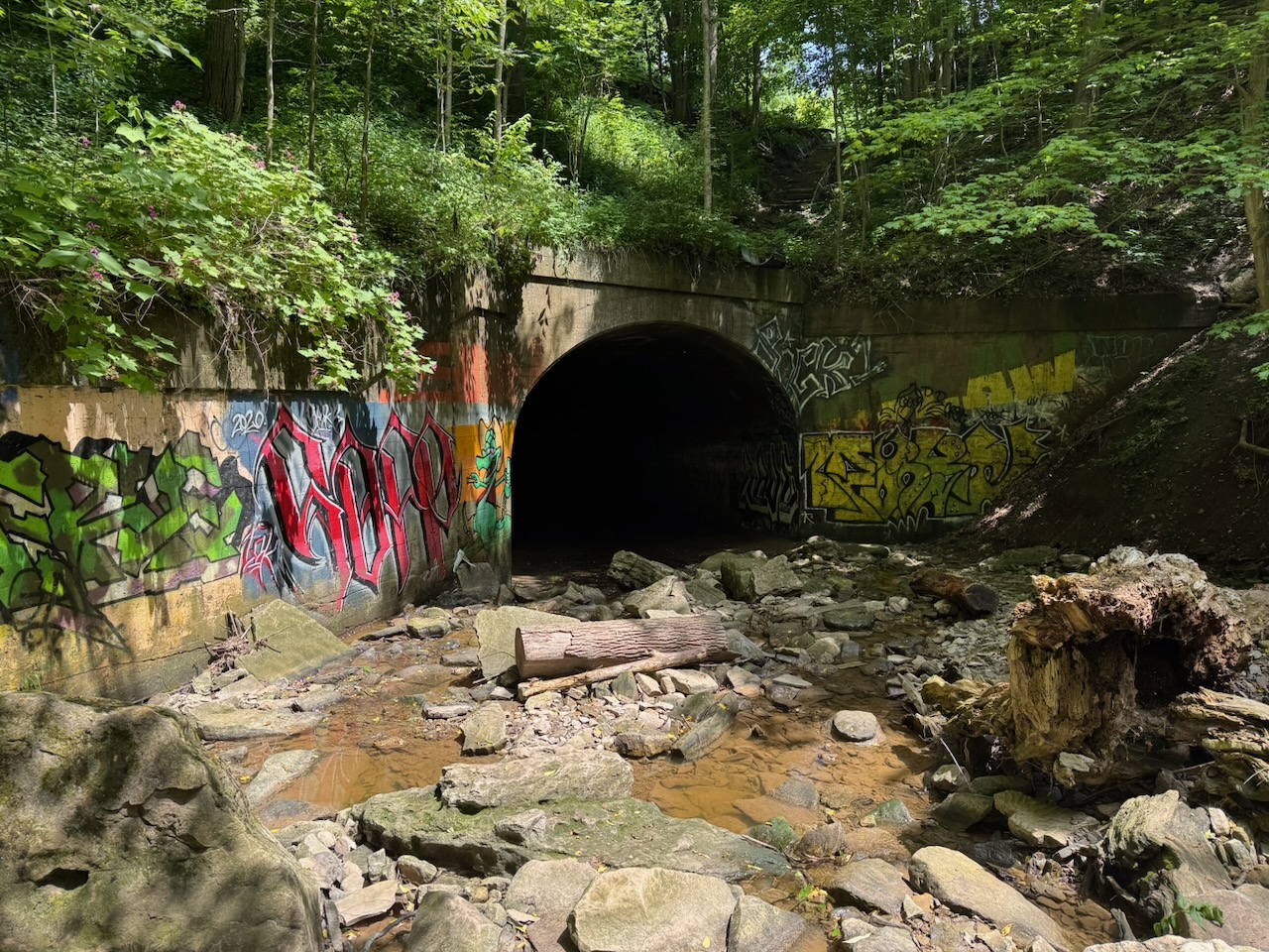
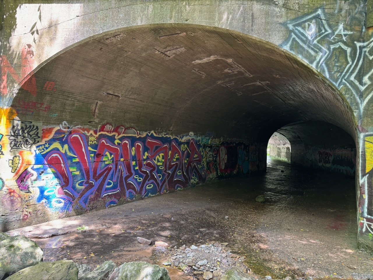
This was followed by some relatively unremarkable hiking along roads and roadside trails. I could see out to Hamilton harbour which was nice, but there’s not much to say about it. There was a set of stairs and a neat graffiti covered tunnel, followed by the ruined foundation of what was once probably an old barn.

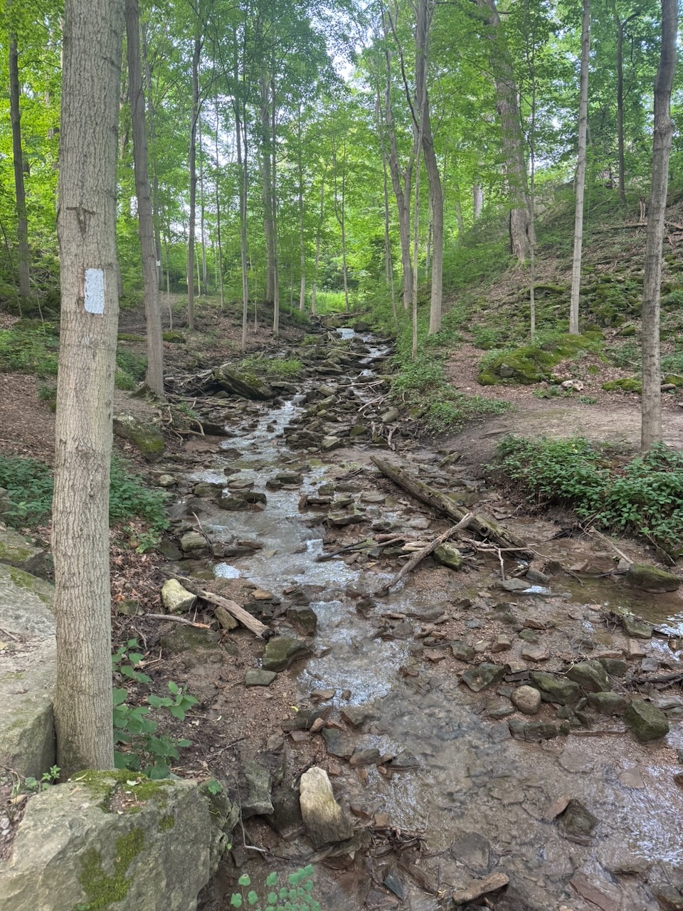
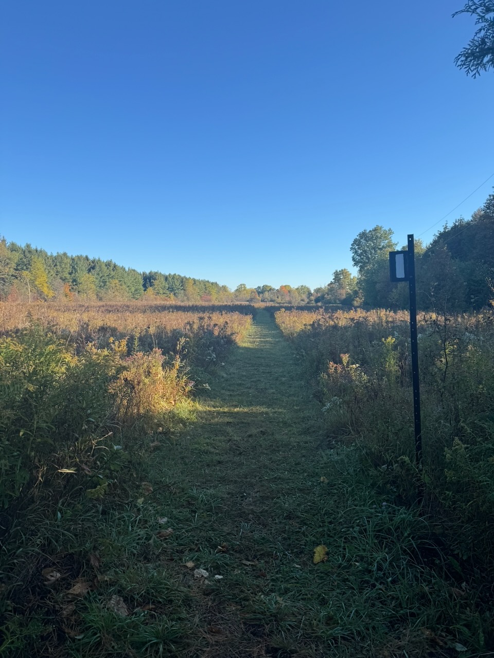
I crossed a few railroad tracks and arrived a rickety bridge over Grindstone Creek (more on the name later). This was the highlight of the whole hike and really the only part much worth talking about. The trail follows the east side of the creek for several kilometres, with elevation increasing the entire time. Since it has been rainy lately this means that you are treated to a multi-kilometre long “waterfall”. It seems that this is no secret, as I saw lots of other hikers on this part of the trail. The “long waterfall” terminates at Smokey Hollow. So called because it once contained so many mills and industry that it was always smokey. This is, I suspect, why Grindstone Creek is called Grindstone Creek, there were likely grist mills here at one point. Almost nothing of it now remains, I honestly can’t decide if that’s good or bad.

While hiking this section I noticed that the trail information signs also had Chinese text. Turns out it’s because from here the trail is also a “friendship trail” with the Taiwan Mountains to Sea Greenway trail. Very neat, but a trail in BC would probably have made more sense as it has actual mountains and seas, and probably more people from Taiwan.

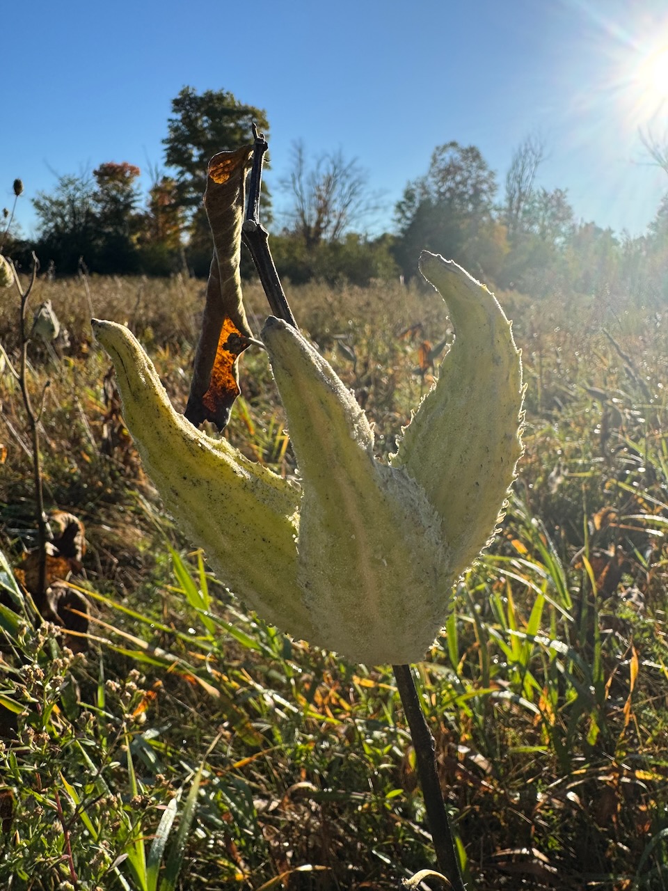
There were a few marshy sections after this and I was happy to see a few Bulrush and Milkweed plants, These used to grow near my cottage and we’d see Monarch butterflies in the evening when we’d walk past the marshes and fields. That’s all gone now of course.

Next I was unceremoniously dumped onto Burlington’s surface streets where I took in one of the better known landmarks on this section, the Shoppers Drug Mart, to get a cold drink. I try to finish 20k on each hike, but this was a real slog, it seemed to take forever to get to 20k, not helped at all by being on a sidewalk in Burlington on a hot day.

Semi-related: I’m wondering if Apple is fudging the numbers on the Fitness app. Such that it’s “optimistic” in the first few kilometres to encourage you to keep going, and eventually getting “pessimistic” to even it out. I doubt it, but that’s exactly the “encouraging fitness in your life” granola-munching crap they’d do.

I now have a bit of an issue, there is no “official” parking lot where I stopped. It’s in a development that has no sidewalks, narrow streets and lawns going all the way to the road edge. This is because the last parking lot I passed would have made the hike too short, but the next one was still quite far away. I’ll have to try and risk parking somewhere in here and pissing off the locals, or parking somewhere else and taking an Uber to my start point. We’ll see.

Only 707.9km to go!
Hike the Bruce Trail Day Nine: The Grind

Hike the Bruce Trail Day Eight: Dundas Valley

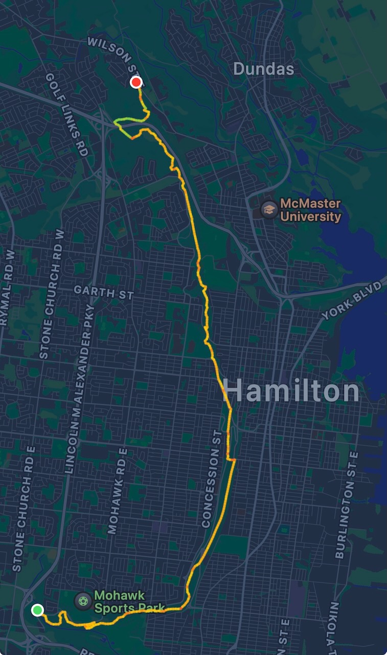
This was the first hike for which I didn’t have to cross the James N Allen Skyway to get to my starting point. That more or less means I’m off the Niagara Peninsula. The trail circles the Dundas Valley and cuts through the town of Dundas itself. The route isn’t direct — the valley holds Hamilton Harbour, and the trail builders clearly decided no sober pedestrian should have to walk the Skyway.

Start: Tiffany Falls Conservation Area

End: Royal Botanical Gardens Rock Chapel Sanctuary

Distance: 21km

Weather: 25C and cloudy

The Route

I was a bit worried that this one was going to be boring. But no! There was lots of stuff to see and to relate. I’m hoping that’s the case going forward. The reason I say this is because, looking at the map, the trail kind of goes through nothing particularly interesting until you get to Collingwood. Luckily I still have lots to talk about.

Despite the fact that I started at Tiffany Falls, I didn’t actually visit the falls. I’ve been there before, and was anxious to get started. The parking lot was empty, but there was a pay station. I had to pay $11.50 but it wasn’t clear why. There were signs around that said no barbecues or parties, one hour limit. One hour limit on what? Parking? Anyway, I paid the damn money and hoped that my car would still be there when I got back a few hours later.

Shortly after Tiffany falls I hit Canterbury falls, which is down a very short side trail. After looking at it I realized I’d been there with my children. Not that long ago, but also so long ago. Time to move on.

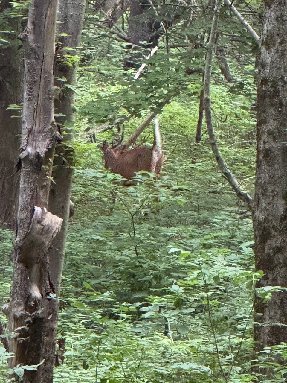
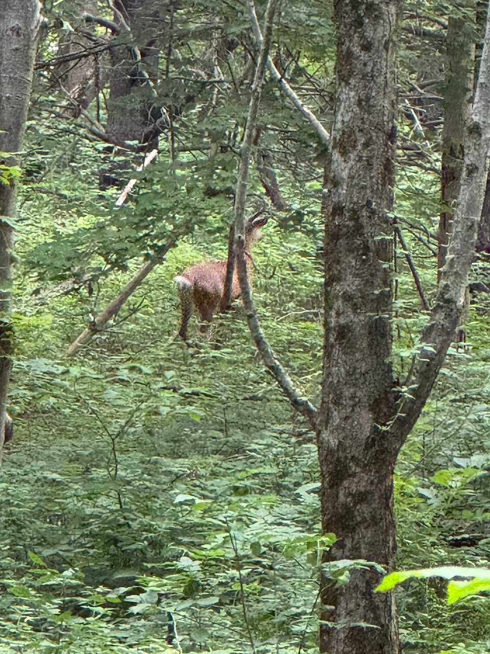
Usually I listen to podcasts while walking. But this time I decided I would wait on that. Why? I’d noticed in the past that wild animals are most active in the early morning before the humans arrive. I wasn’t wrong. I heard a commotion in front of me and thought it was other hikers. I looked up to see a fully grown male white tail deer standing on the trail. It moved away before I could get a good photo. But, I did manage to get a few snaps of it in the distance. They are way bigger than you think. Just like the coyote.

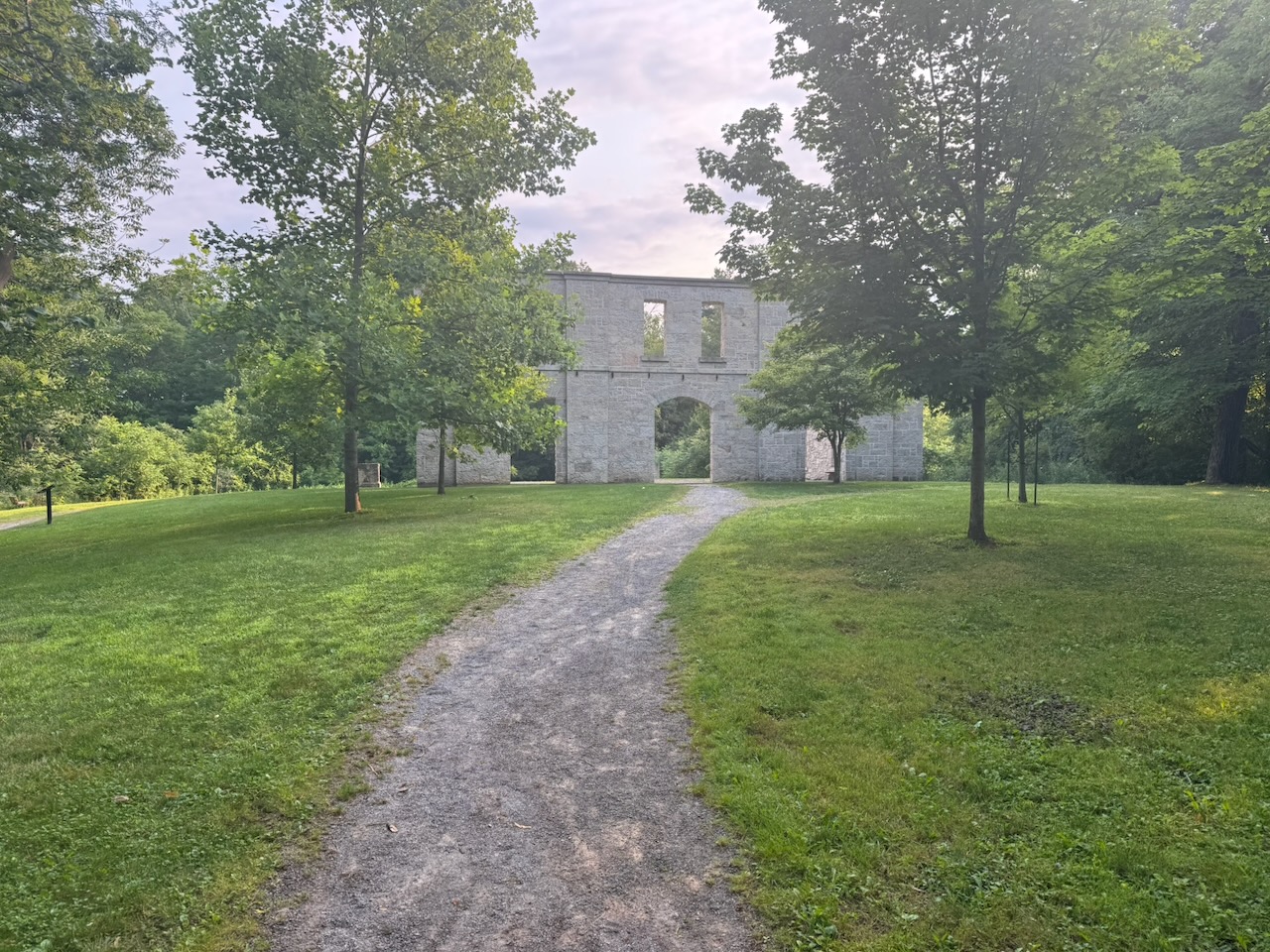
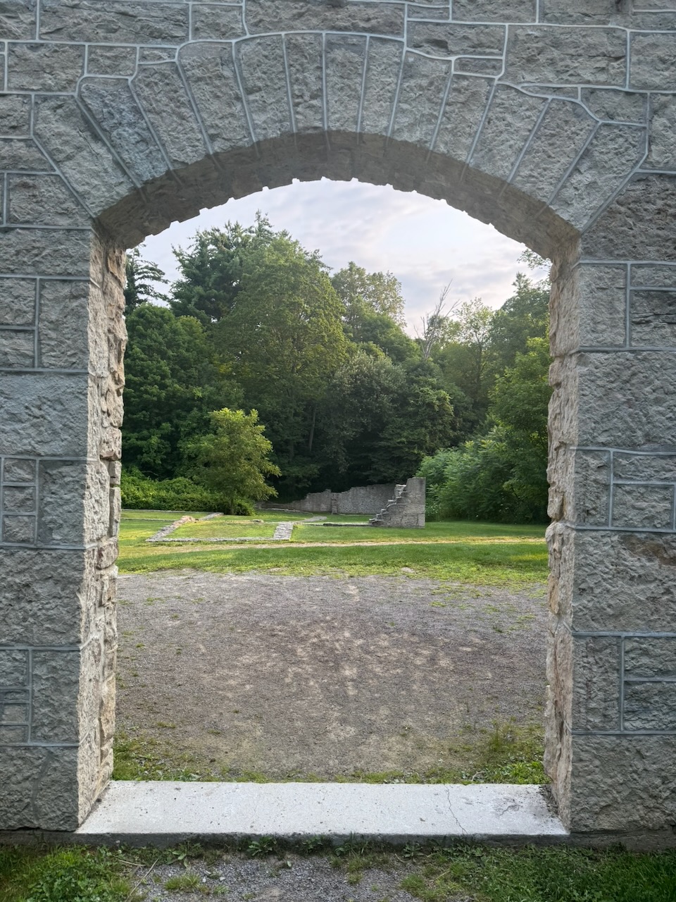
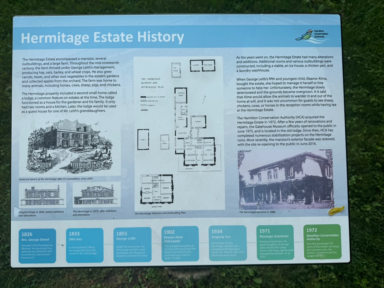
After this I found myself in the ruins of an old house. It’s called The Hermitage. It was a country home for a wealthy family a long time ago. I sat there for a while. It’s really neat that the city sort of “reconstructed” the facade of the house. I bet it’s really spooky in the fall at night.

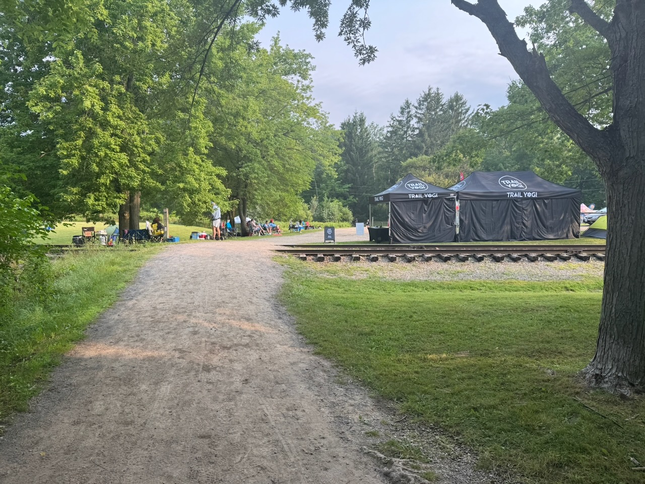
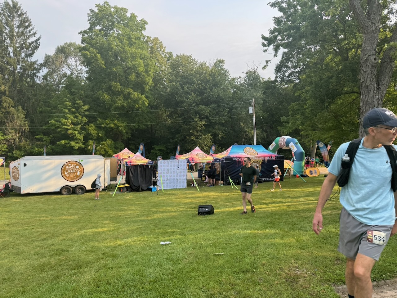
Unlike almost all the previous hikes, it was at this point I noted a lot of people on the trail. An awful lot. And they had water bottles strapped to their waist. Et cetera. I had stumbled upon some kind of hiking event. Happy Trails Racing as it turns out. This was at about 8:30AM, and a race was ending. There was an announcer saying that the winner had covered 160km in 24 hours. After looking it up they do a 7km loop. You can sign up to do it one, two, or three times, or as many times as possible in 6, 12, 24, or 48 hours. Pretty wild, my joints are killing me after 25km of walking on these trails, I can’t imagine what running over 100km would feel like. I wonder how many of these people are over 40.

Following some more forest-y and meadow-y sections of trail I found myself walking through Dundas, Ontario. My gosh what a lovely little town. Full of historic houses and churches, with a busy Main Street and two breweries. Neighbours were out talking, people were going to church, and children were playing in the parks. What a lovely little life a family could have here.

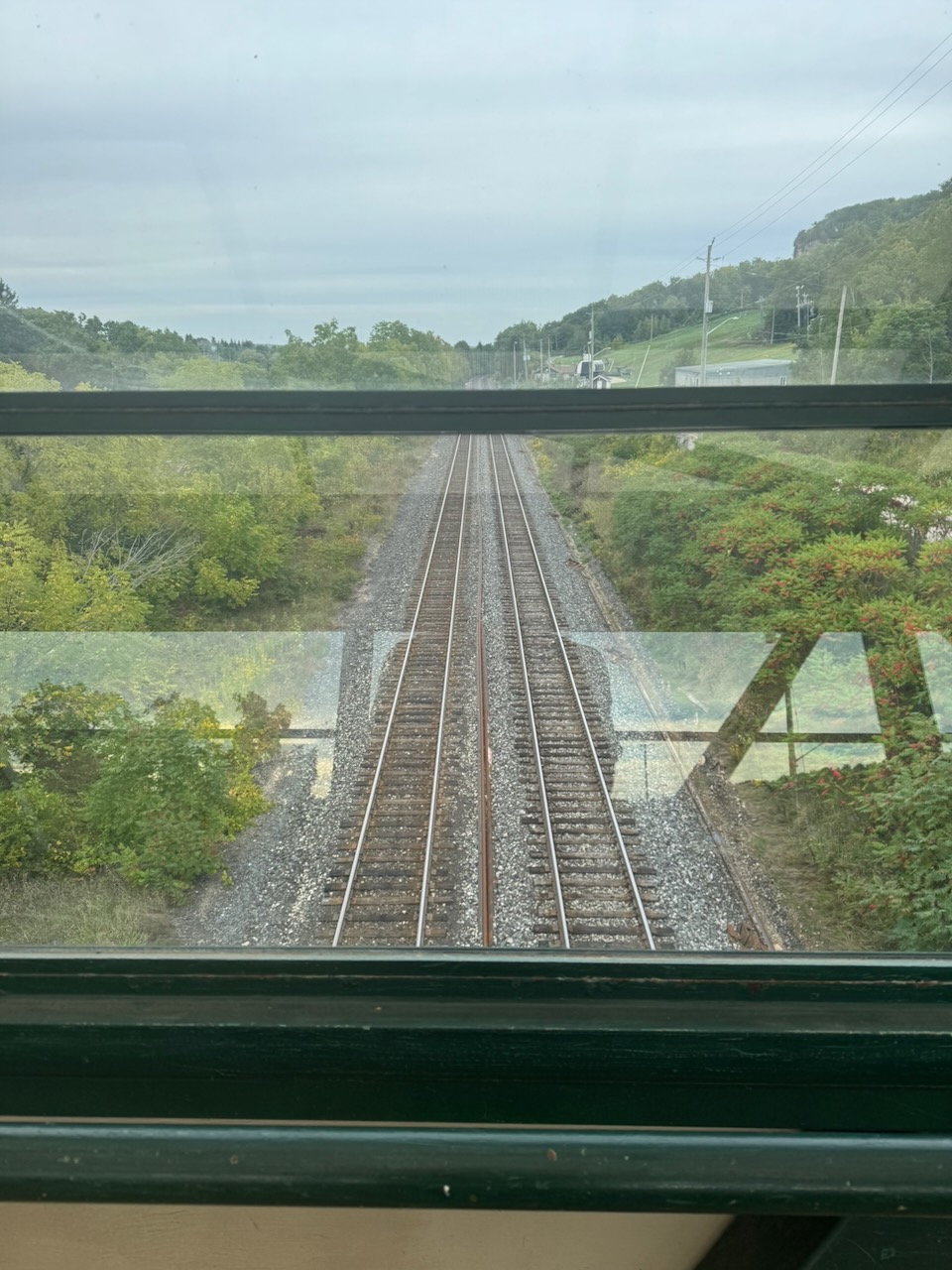
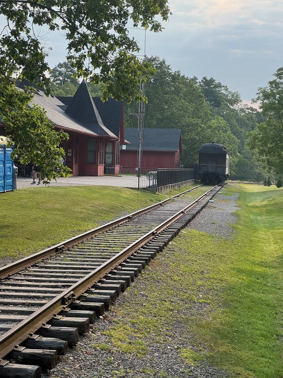
While hiking through Dundas I noticed the large cliffs looming in the distance. Just after going through the town I noticed a side trail that seemed to go back up to the top of the escarpment. I decided to have a look, even though taking side trails slows my progress a bit. I wasn’t disappointed, I was treated to a large CN freight train transiting a bridge I hiked under, and on that theme noticed that the trail itself was a former rail line, with the ties and spikes still in the ground. The lookout was stunning, with views over the entire town and out to Hamilton harbour and Lake Ontario.

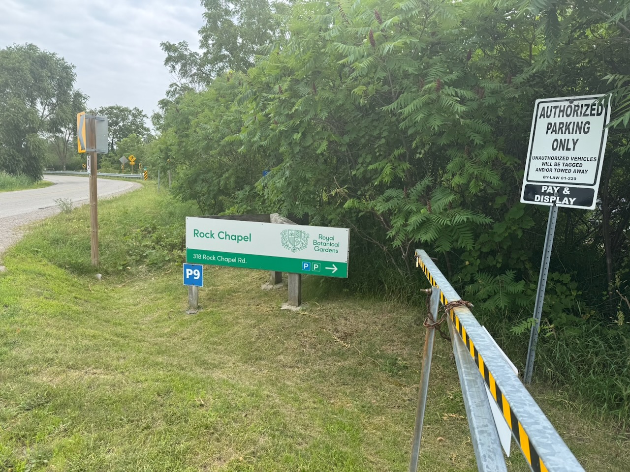
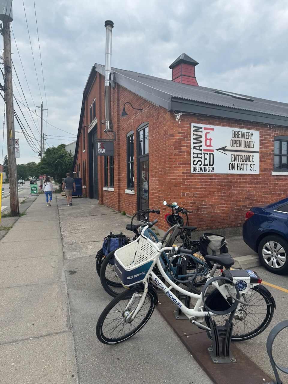
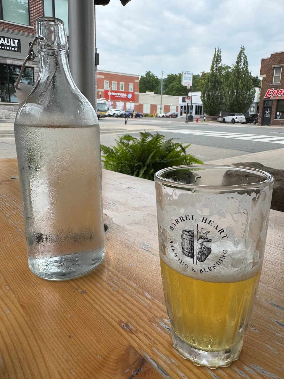
The rest of the trail went through lands managed by the Royal Botanical Gardens and I stopped at “Rock Chapel”. My customary Uber ride went fine, my car was still in the parking lot, and I decided to drive back into Dundas for lunch. I first tried the Shawn & Ed Brewing Co. but was told the main dining room was closed for an event. Instead I visited their “patio” which was a few tables in a very narrow alley between buildings. There were many people there and all were looking at menus. This is a reliable sign that the service will take a while, so I bailed. Instead I walked down the road to Barrel Heart Brewing & Blending. They are a very posh “farm to table” type place. The food and beer were very good, but very expensive and you don’t get much of it. I used to love this hipster/pretentious “slow food” type stuff. But, it really only works when you have someone to share it with. On my own I just want a goddamn pint and sandwich that’s not outrageously priced.

Only 728km to go!
Hike the Bruce Trail Day Eight: Dundas Valley

Hike the Bruce Trail Day Seven: The Hammer

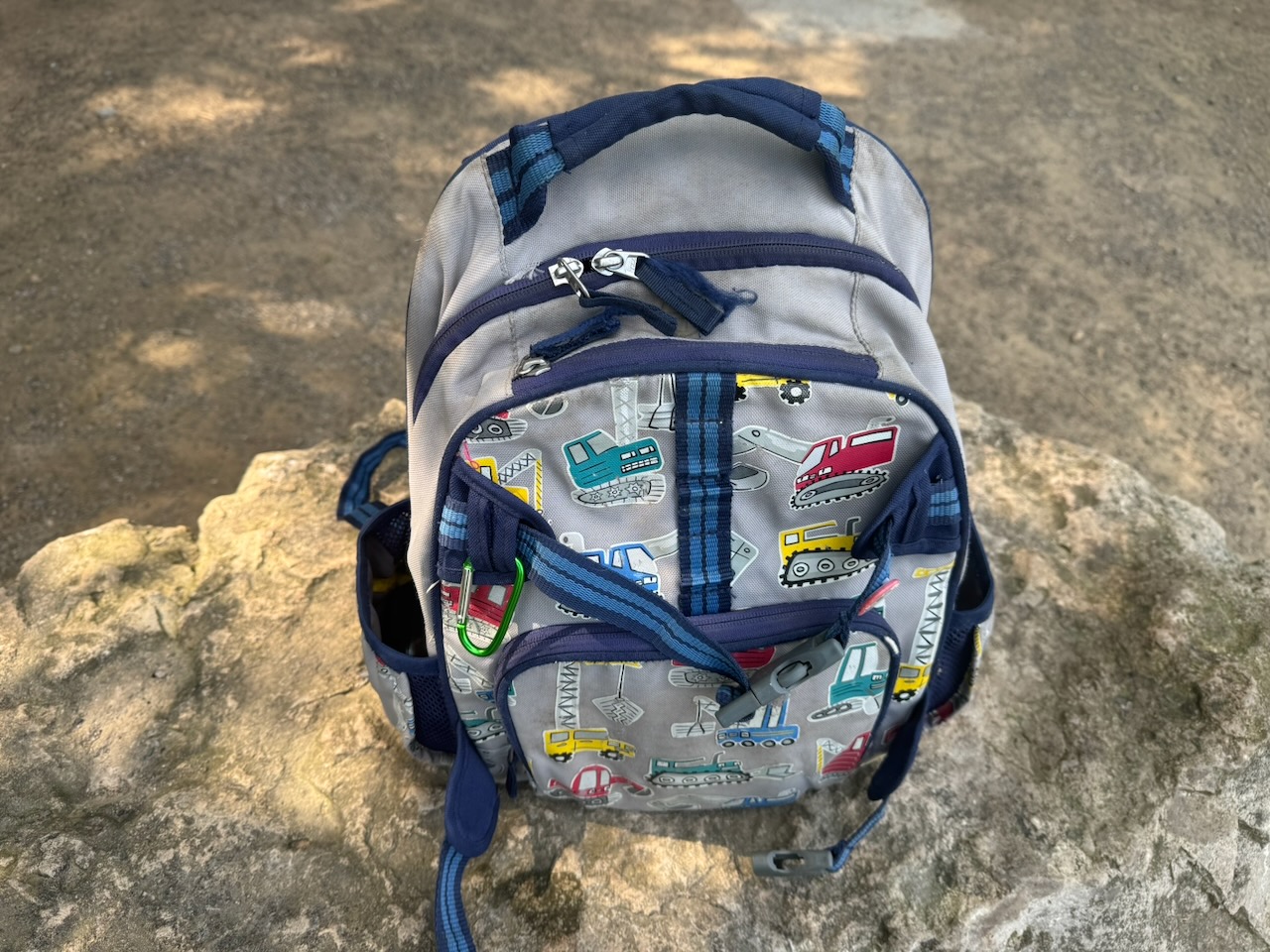
Left from Lake Simcoe for this one, as such I was on the road just after 5AM. I had left my backpack in Toronto so instead I used my son’s backpack from when he was in kindergarten. It worked surprisingly well, so much so that I think I’ll consider using it from now on. That way Will can be with me on the hike, in a way. It also meant that I didn’t have my bug spray.

Start: Albion Falls

End: Tiffany Falls Conservation Area

Distance: 21.3km

Weather: 25C and sunny

The Route

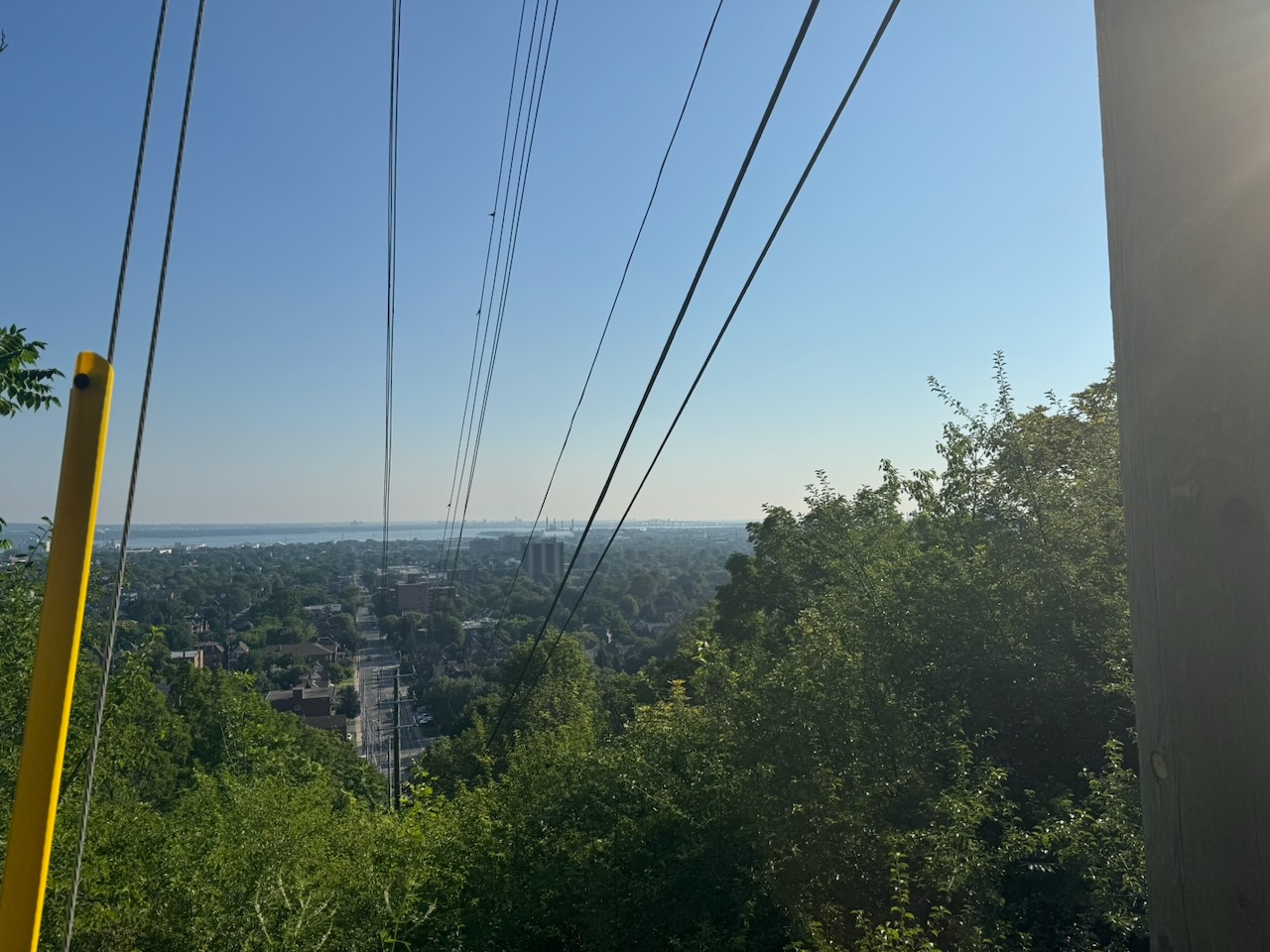
The lack of bug spray was immediately a problem. The beginning of the hike was through the woods and the mosquitos were out in full force. Still, the views out over the city from the escarpment were beautiful. Some even better ones were yet to come.

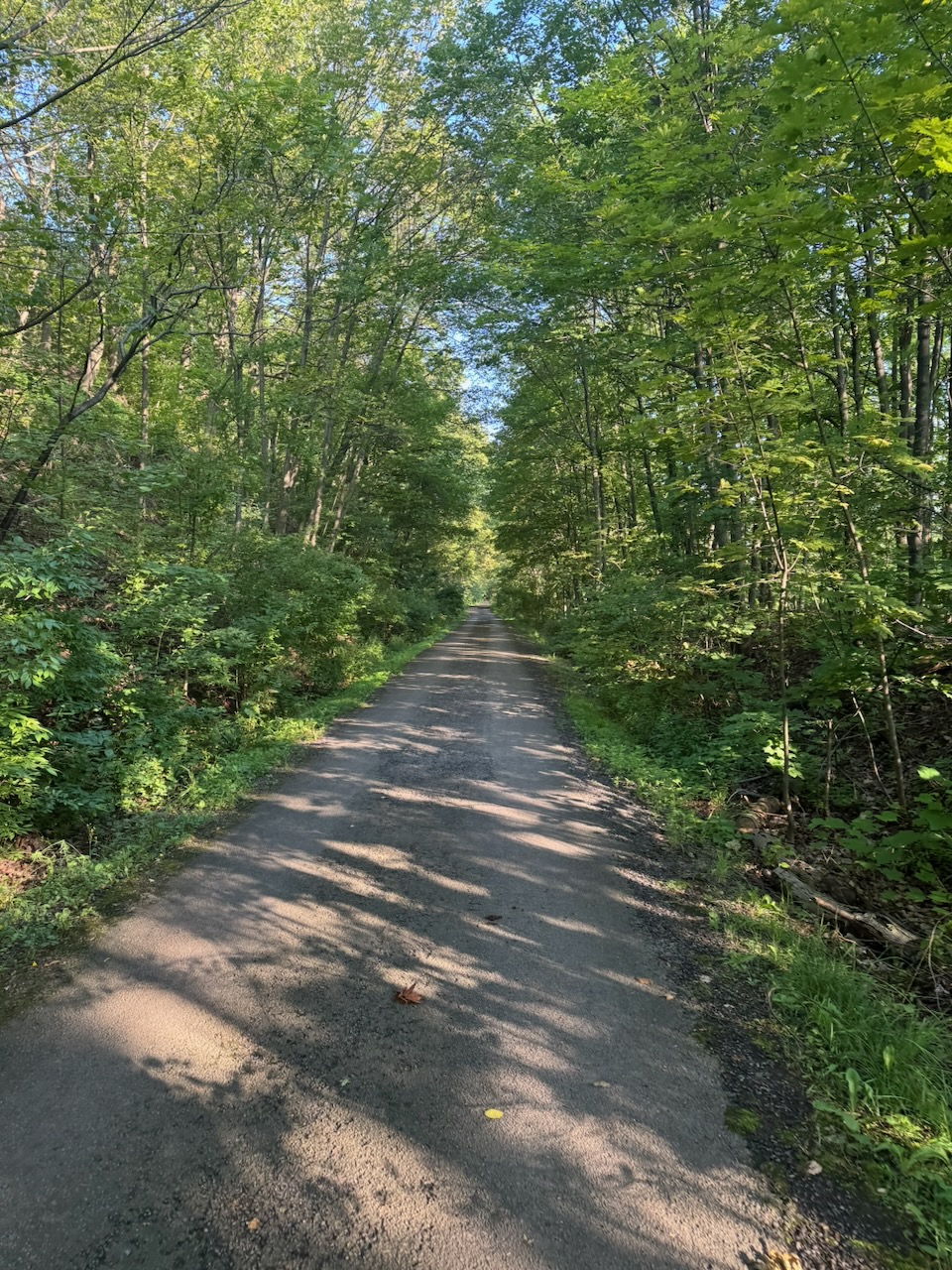
There’s not much wilderness on either side of the trail for long. Eventually, as you can see from the map, it’s city on both sides of you until you get to the other side of Hamilton. There’s still forest, but it doesn’t extend more than a few dozen meters on either side.

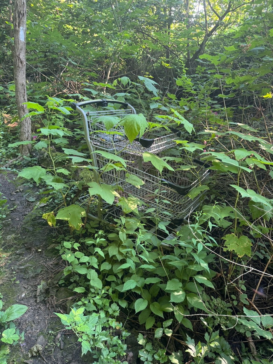
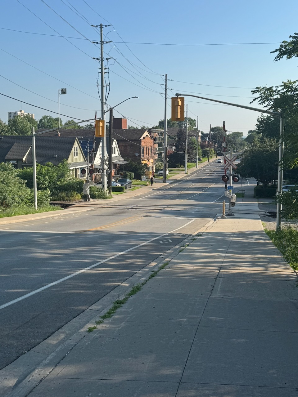
Here the trail joins up with Hamilton’s urban trail system. Technically this portion is called the “Escarpment Rail Trail” and it follows the pathway of the old Hamilton & Erie railway along the escarpment (as you’d expect). Because it’s an urban trail you see a lot more “urban” things like discarded shopping carts and graffiti. You might think this would bother me, as the Bruce Trail is primarily meant to be a nature trail. But it’s fine, it’s nice to have something to break up the woods, and it gives me something to write about. I was surprised that I wasn’t seeing any homeless encampments, since this would be prime real-estate for them, and Hamilton is known for having a serious homelessness/drug problem.

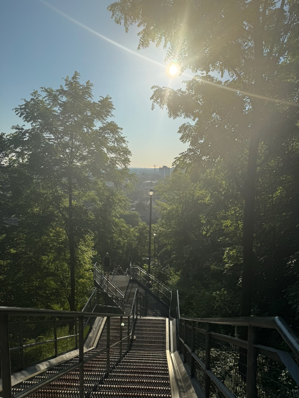
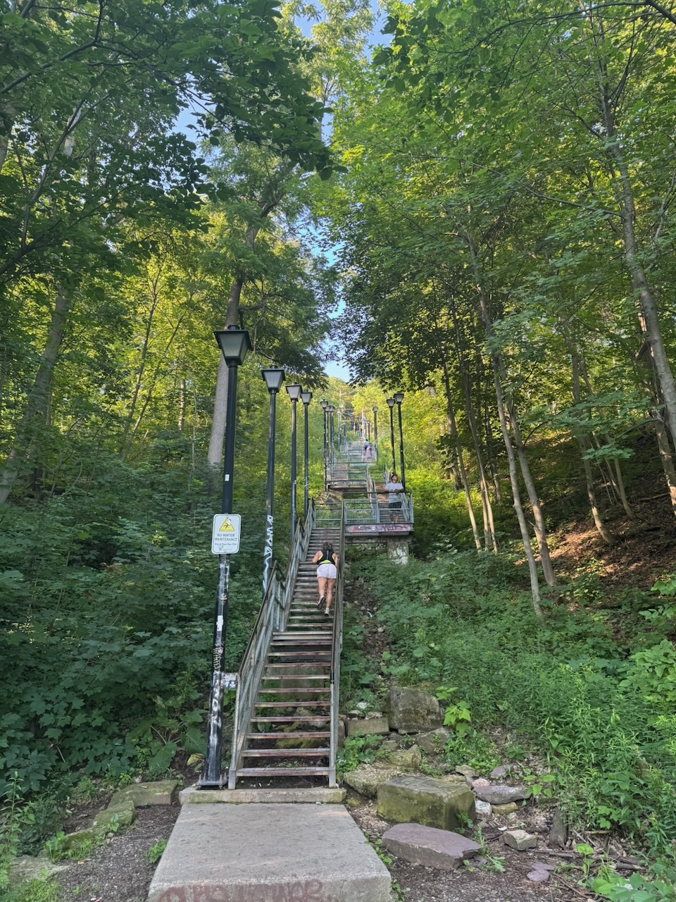
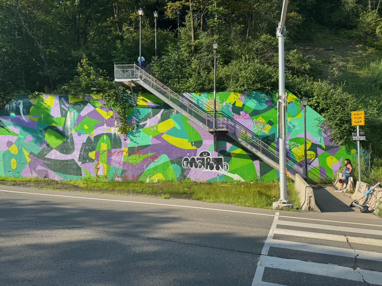
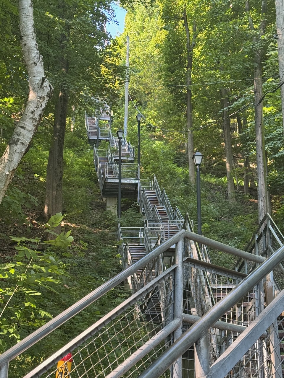
Eventually I came to an enormous stairway that seems to be Hamilton’s Ministry of Silly Walks. I saw one person who would take a step, stretch that leg, take another step, stretch that leg, and so on. There was another person who was sort of “crab walking” sideways one way, then the other. I’m guessing this is because the stairs go on for so long that people need to pace themselves and prevent cramps. That doesn’t make it look any less silly though. At the top of the stairs you’re spit out onto some roads.

It’s about here that I started to notice the smell.

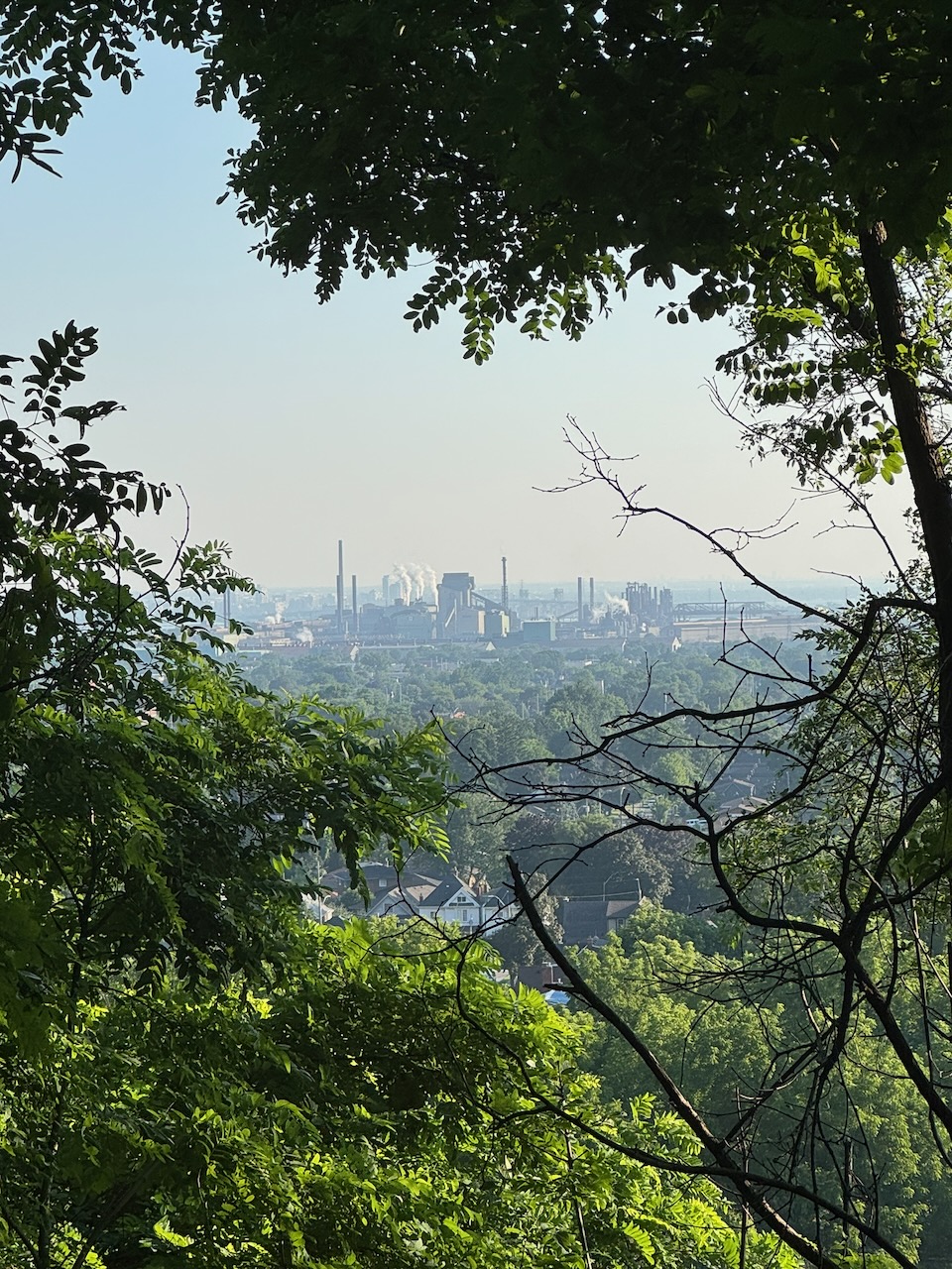
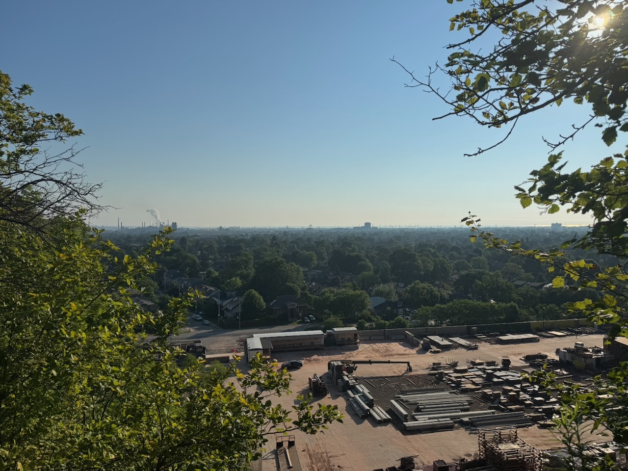
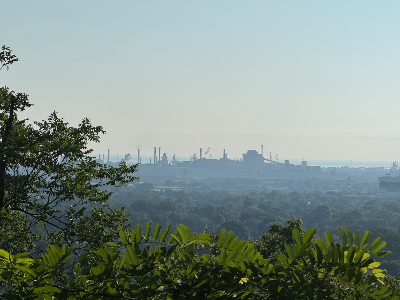
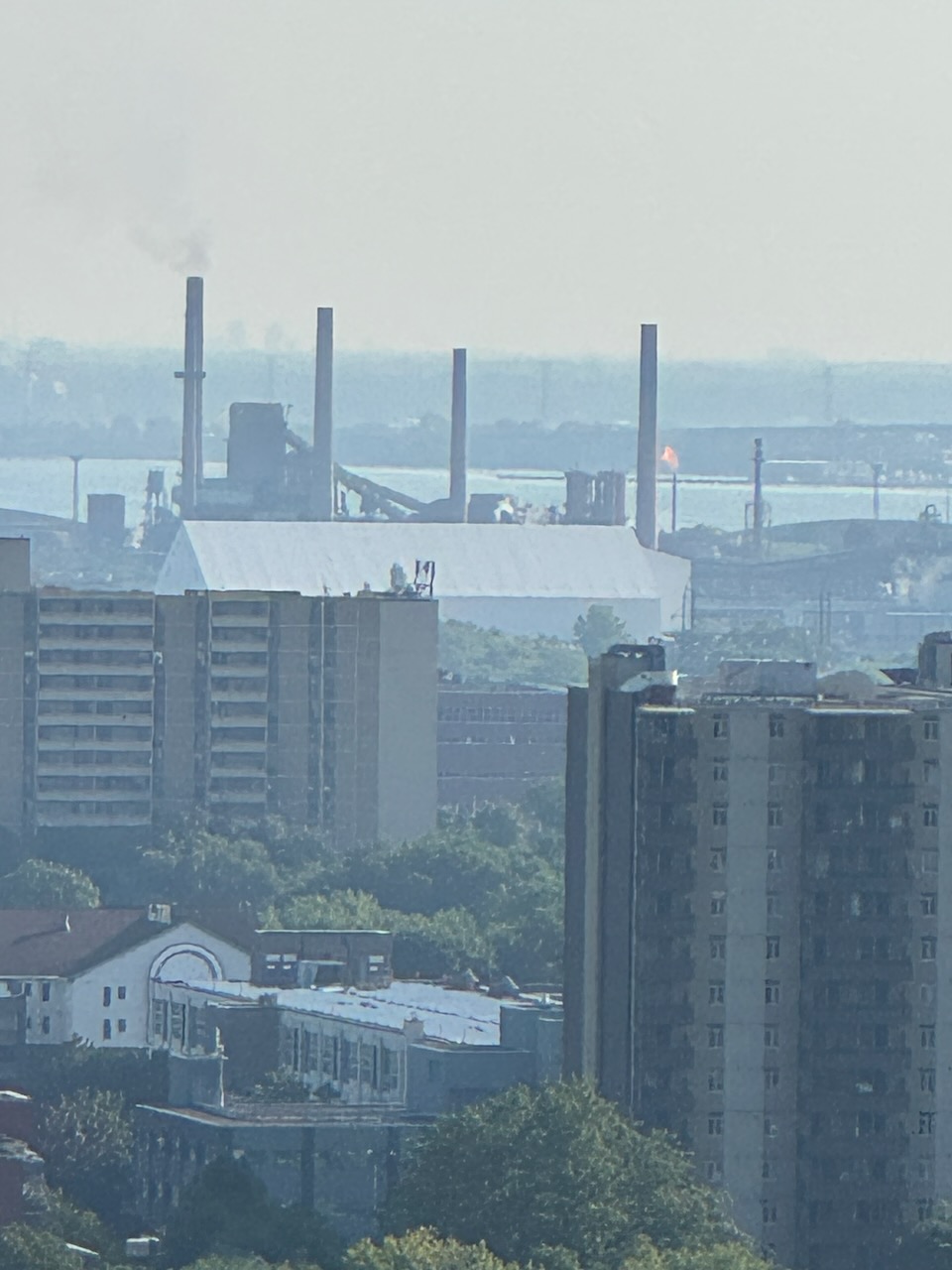
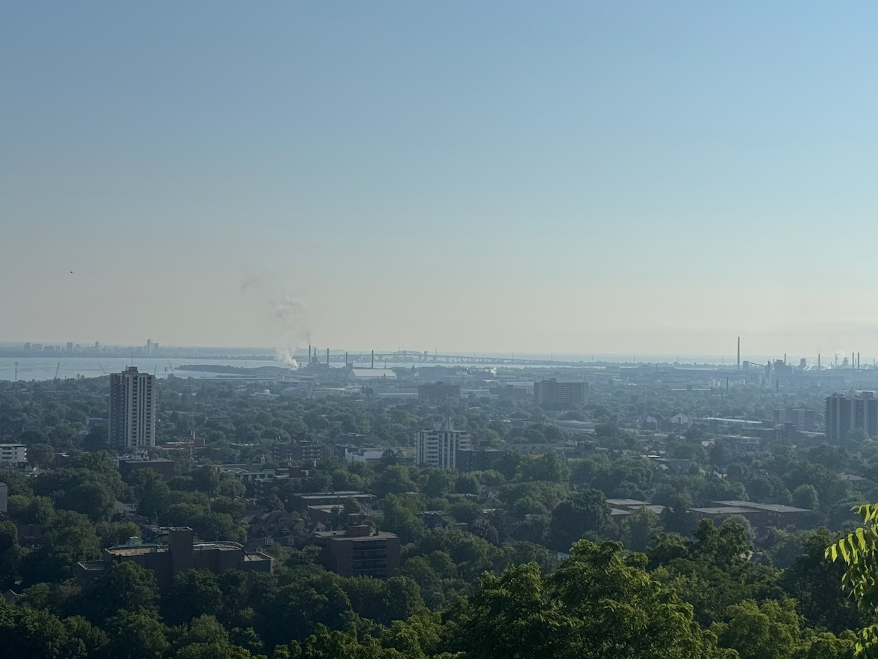
I’ve heard before that Hamilton has a certain odour to it. This is mostly to do with the steel mills and industry along the harbour. From up here you could get an excellent view of the mills and all their stacks, including the gas flare (the big open flame you can see in one of the pictures). It doesn’t smell “bad” per se… but it doesn’t smell good either. It’s just sort of there, and not as bad as you think. That could be Hamilton’s motto actually: “Hamilton: It’s here, and not as bad as you think.” It was also around this point I found evidence of some encampments, but I wasn’t sure if they were still occupied.

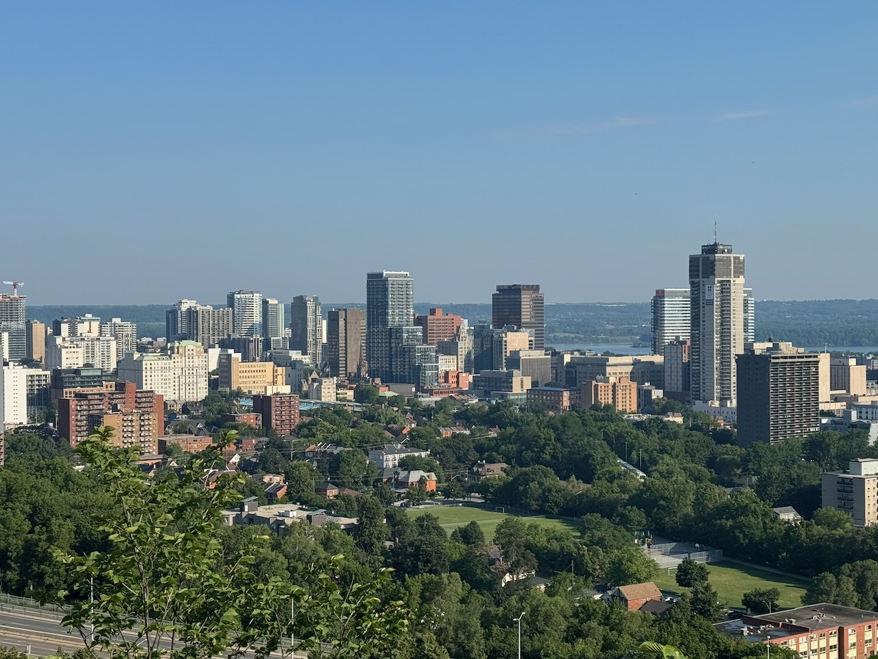
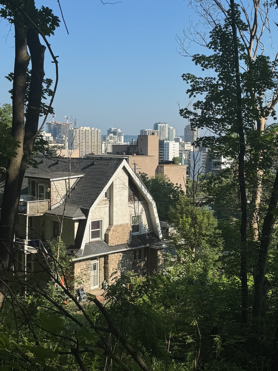
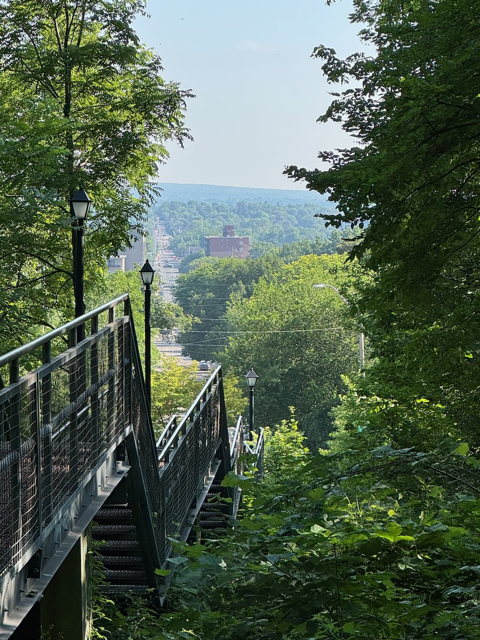
Descending slowly down the escarpment you’re treated to probably the best views of downtown you’ll see on the trail. But after this the trail is either briefly on roadways or follows next to them. There are some wonderful old homes up here. Because it’s Hamilton, most of them haven’t been torn down and replaced with McMansions. There were lots of walkers and runners when I rejoined the urban trail system. It was a stark contrast to how empty most of the trail has been so far. I guess people don’t really stray that far from home.

There was one last viewpoint with sweeping vistas out over the north side of Hamilton harbour before I was dumped into generic fields and woods again. I ran the last few kilometres as I was anxious to get back to the lake. I finished up at the entrance to the Tiffany Falls side trail. There were a large number of people getting ready for their “hike” to the falls. I’ve actually been there before with Addy & Will, it’s less than half a kilometre, yet people were still showing up in workout gear and with walking sticks. Oh well, at least they’re out there.

While I was waiting for my Uber to show up I glanced down at my pant leg and noticed a small bug crawling along. Yup, it was an adult female black legged tick. I did a tick check when I got home and couldn’t find any on my person, but it’s not just hype, they’re out there.

Only 749km to go!
Hike the Bruce Trail Day Seven: The Hammer

Hike the Bruce Trail Day Six: Canada Day

Since it was a holiday and I had absolutely no plans, I slept in. There was no rush to get home, and no rush hour traffic, so no need to start super early. I left the house just before 8AM and was on the trail just before 9AM.

Start: Beamer Memorial Conservation Area

End: Albion Falls

Distance: 27.1km

Weather: 35C and partly cloudy

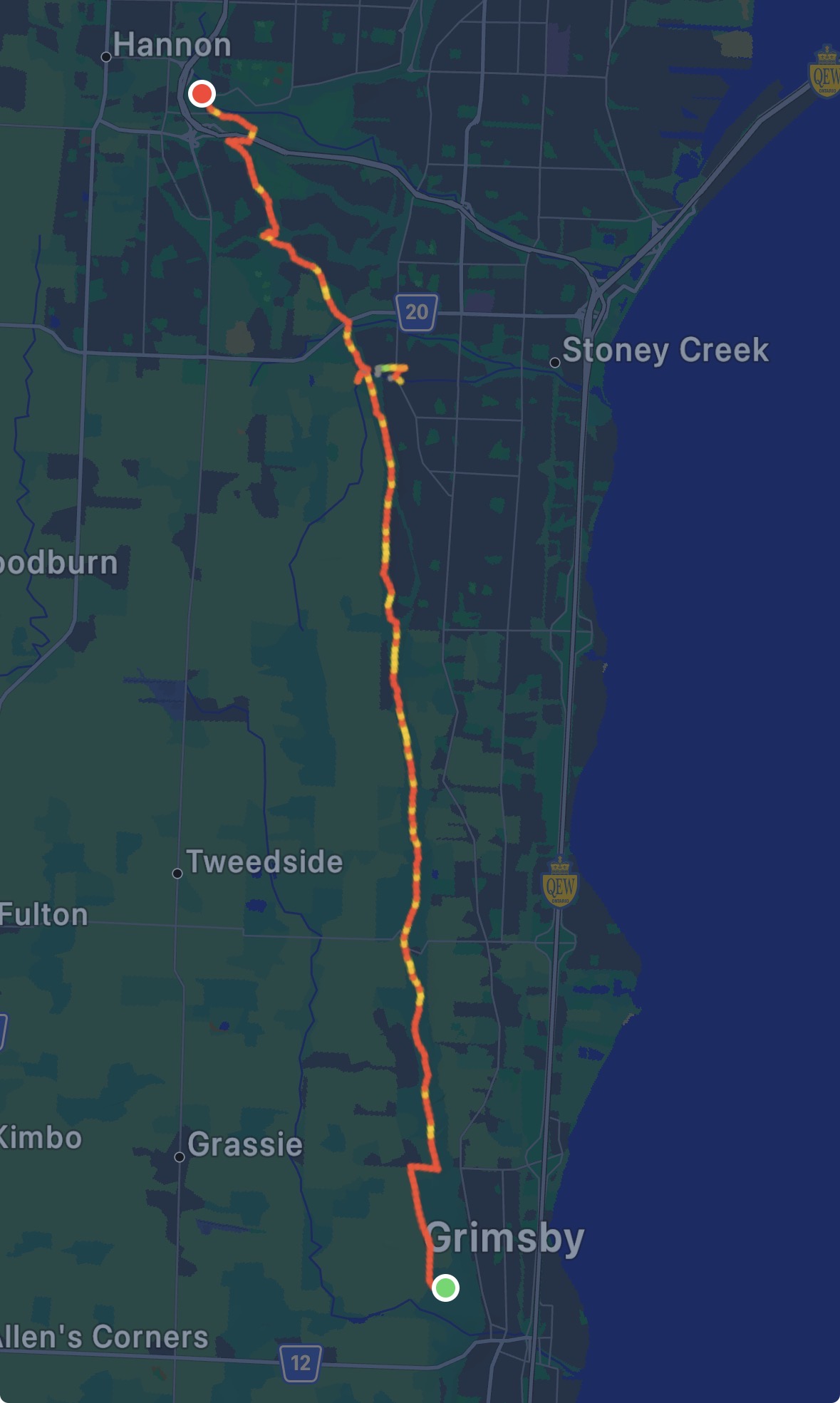
The Route

The weather was super hot this time, I brought lots of water.

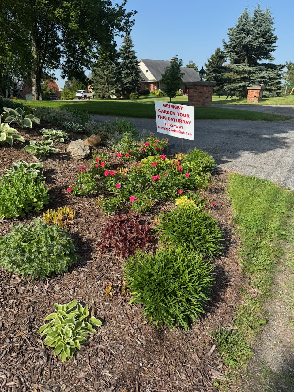
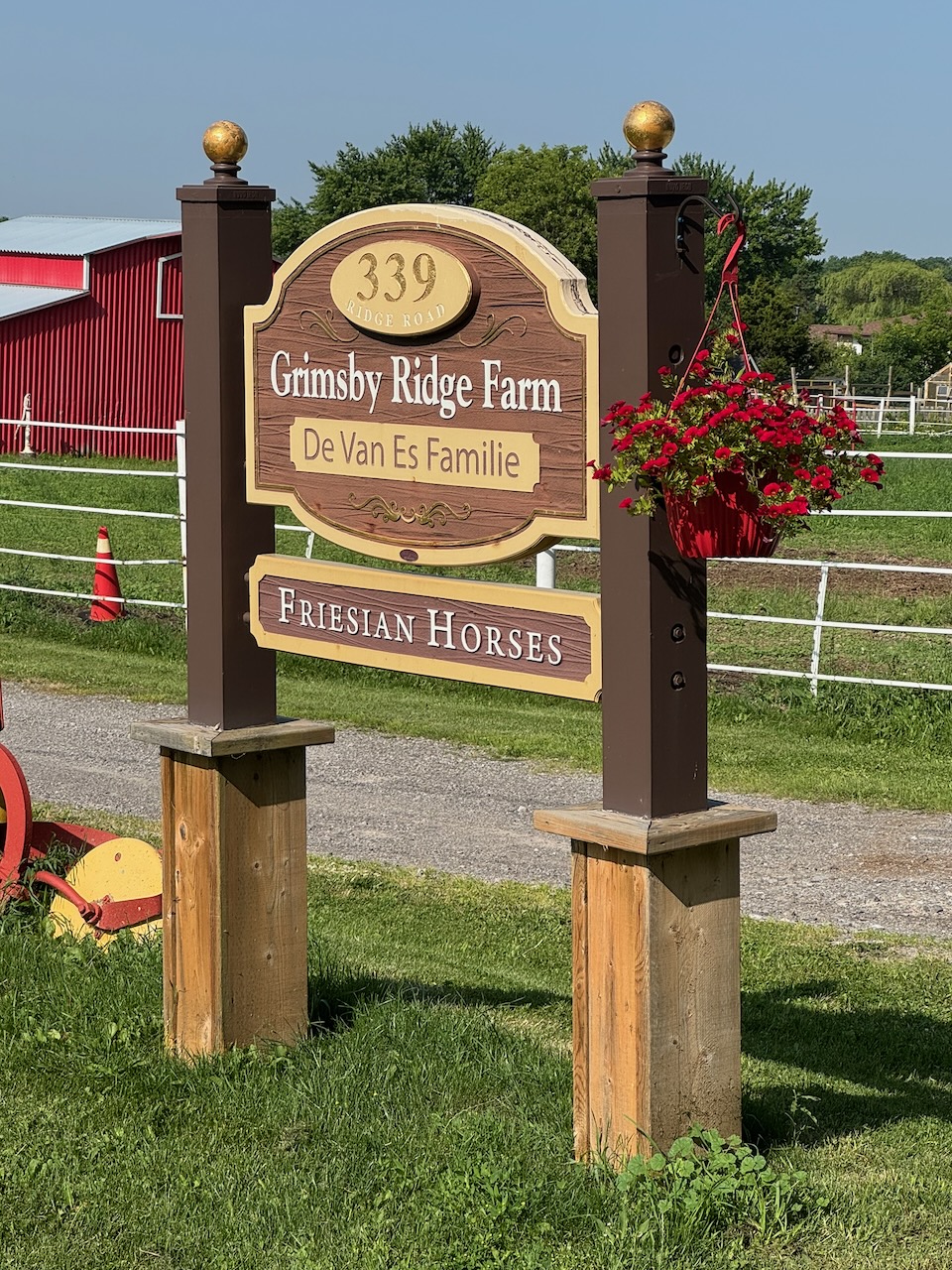
The trail started on mostly surface streets, and there are some really nice homes up there on Ridge Road. Unfortunately it looks like I’ll miss the Grimsby Garden Tour.

I was thinking a lot about that word while I was walking… “home”. In a very real sense I don’t feel like I have one anymore. I have a house I live in (for now) and people come and go from it, but the sense of “home” doesn’t seem to exist anymore, at least not the way it did.

Sorry about that, the rest of the post will be more upbeat.

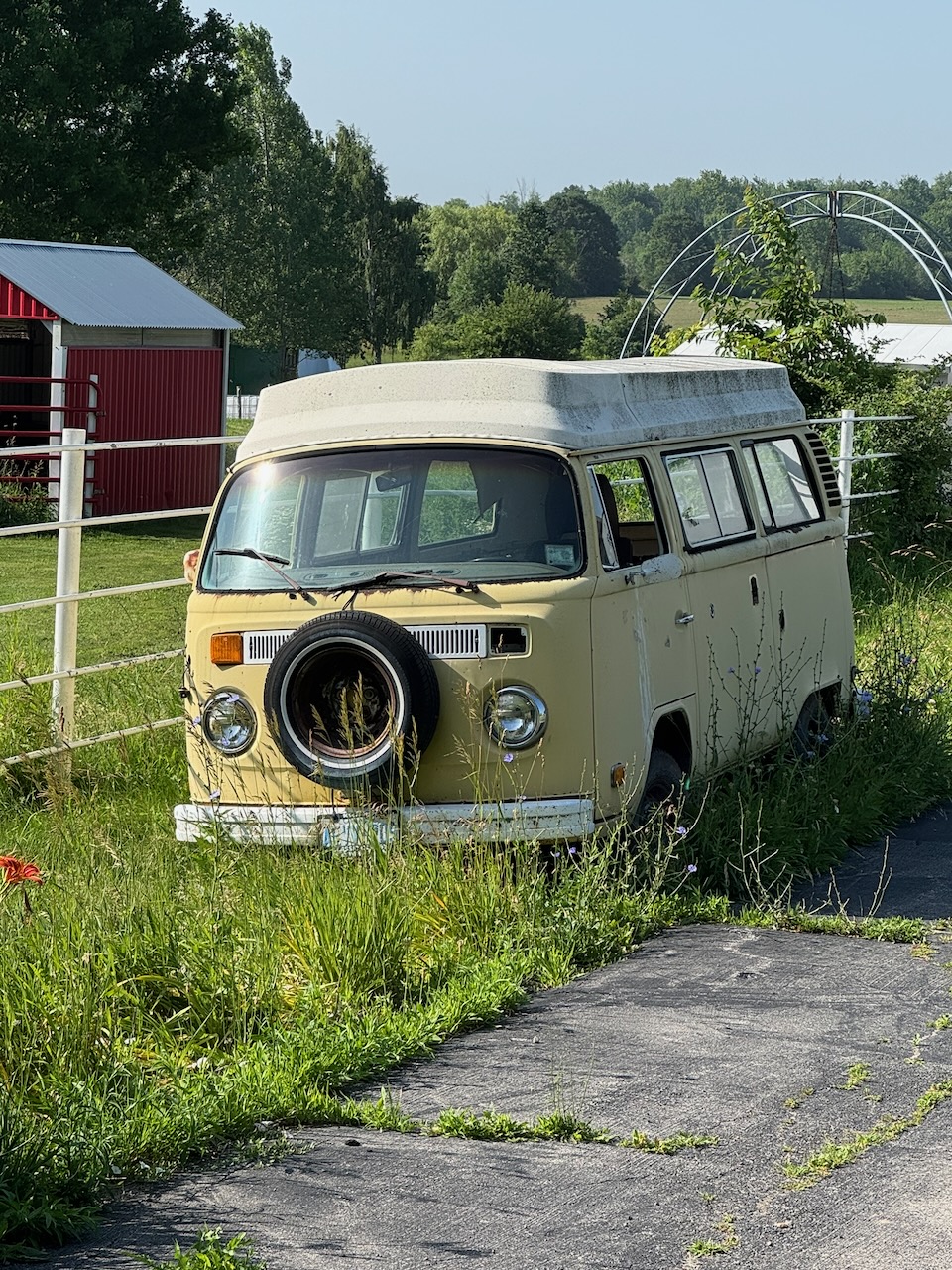
There were lots of fields, some interesting cars including a Corvette for sale and a derelict VW bus. I met a couple going in the opposite direction who were wearing the minimum amount of clothing not to get arrested, but were absolutely firing on all eight cylinders. I mean if they aren’t making money off “amateur” films they are missing out. I thought this would be a harbinger of things to come (other hikers I mean) in that it was Canada Day and what better way to celebrate than enjoying the beautiful nature this country has to offer? But, I met surprisingly few people on the trail, and this was my longest hike so far.

As I suspected when I was looking at the map for this section of the trail, there really isn’t that much to talk about. It was just a walk through the woods. Which is nice, but you run out of stuff to say pretty fast. I mean really, how many pictures can you take of trees?

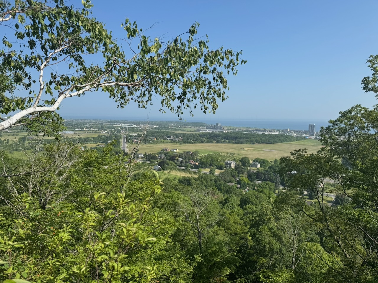
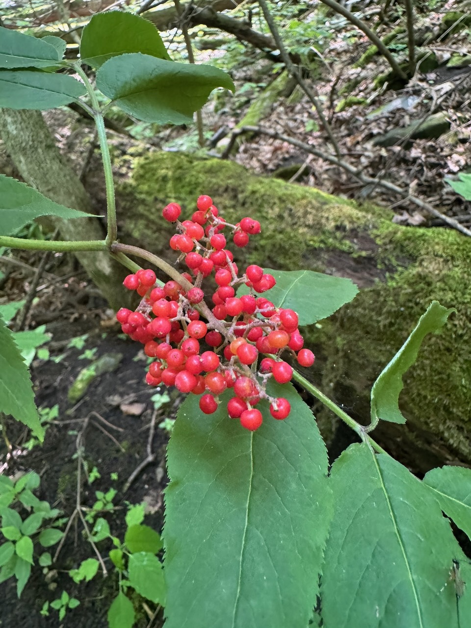
None the less, you’ll see some photos of what I’m pretty sure are flowers and berries that I haven’t photographed before. In the early sections near Grimsby there were again some gorgeous lookouts over the peninsula and Lake Ontario.

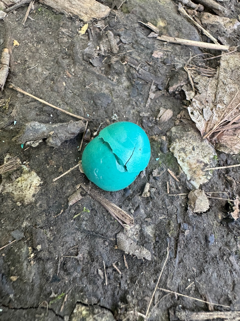
I saw quite a few birds on this hike: There were a few hawks screaming and taking flight as I walked past, a mating pair of Blue Jays that shadowed me for a kilometre or two (did you know they mate for life, noble creatures), many Robins (I found an egg right in the middle of the trail), and a few Red Jays (sorry I can’t resist, this is what my son Will called them the first time he saw them). Unfortunately they move so fast that it’s almost impossible to get a picture of them.

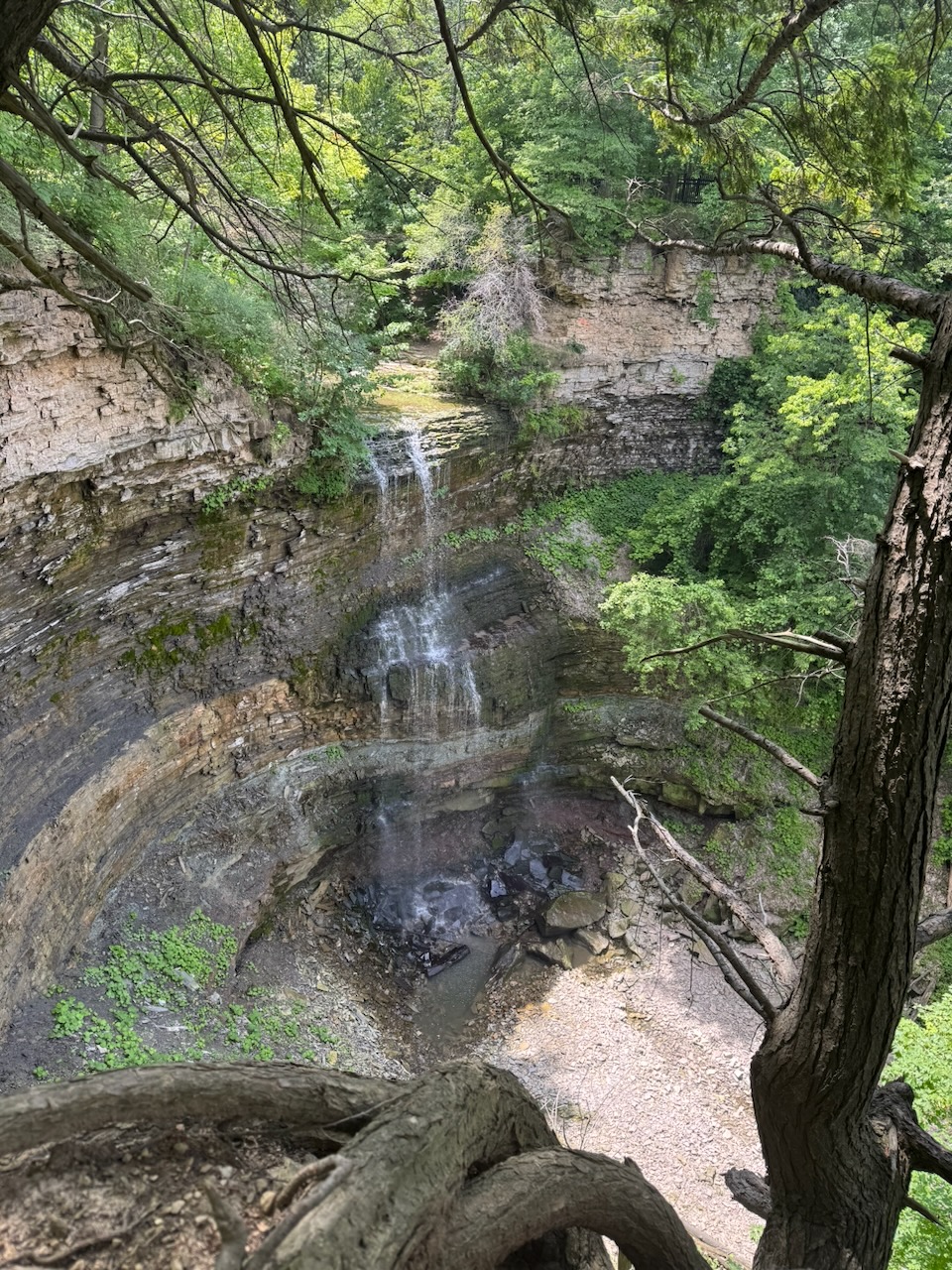
Once I started crossing railroad tracks I knew I was getting closer to what I thought might be my stopping point. The Devil’s Punchbowl is a waterfall/rock formation just outside Hamilton, Ontario. The trail doesn’t actually go up to the falls, but I walked up to them anyway. I met two young guys playing marbles here. They were digging small holes in the hill then seeing who could throw a marble closest to or in the hole. They were very enthusiastic about it and I’m sure would have let me join in if I asked.

It’s hard to do the Devil’s Punchbowl justice with an iPhone photo, so here’s a video:

At this point it was about 12:45PM. I had finished almost all my water, and was starting to get tired, to the point that I was stumbling and tripping on rocks and/or roots. I didn’t bring any food or drink (other than water) with me so I thought I’d see if there was somewhere nearby I could retire for lunch. Luckily I was in Stoney Creek, which is just outside Hamilton. And, in Hamilton you’re never too far from a drunk. I mean a drink. I mean… you get the idea. Apple Maps informed me that The Powerhouse was only about 1.5km away and that it was built into the historic power house for the local light railway. That sounded right up my street (or rail) so I walked over. I actually almost threw up from the change of hot and humid outside to air conditioning inside, along with a glass or two of ice water. Luckily that soon subsided and I had some lunch and a cold beer. My God a cold beer tastes great when you’ve earned it. I know I said the same thing last time but it’s true. It was a neat place, the ceiling joists were amazing, made of such huge timbers that I doubt you could recreate them now, there are no trees left that are big enough. I forgot to get any pictures of this, sorry.

I could have retired at this point but I decided to carry on. While I was walking I could hear rushing water, but no obvious source. Walking off the trail a bit I found this:

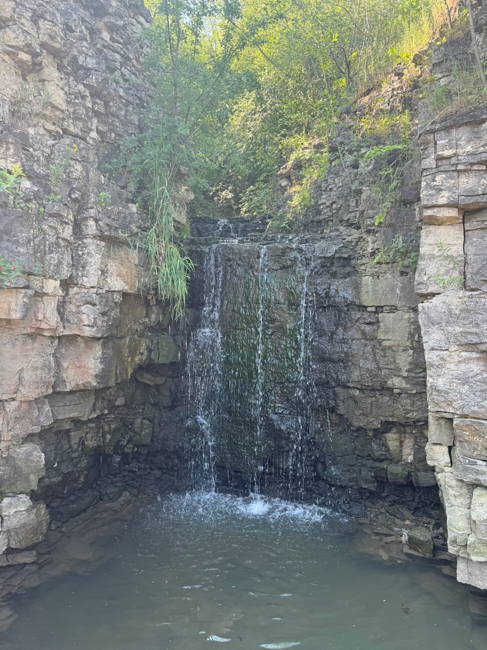
I passed another beautiful waterfall:

After this it was mostly local trails. I was getting very tired now. It was hard to go on, my feet were hurting, my joints were hurting and my legs were starting to falter. It really was time to stop. I made it to Albion Falls and threw in the towel.

I sent my hiking log to the Niagara section of the trail and they approved it! I should be getting my Niagara end-to-end badge soon.

Only 770.3km to go!
Hike the Bruce Trail Day Six: Canada Day