I slept in this time. The morning temperature was 2C and I had nothing planned for the day, so why hurry?
Start: Spirit Tree Estate Cidery
End: Willougby Rd & Escarpment Side Rd
Distance: 18.6km
Weather: 5C and sunny
The Cidery where I finished last time doesn’t open until 10AM and I was hoping to park there. That meant I was in no rush to get out of the house, as it’s less than an hour drive. I arrived just after ten and asked very politely if they would mind me leaving my car there for a few hours. I promised to buy some cider on my return. They were very nice and said it was no problem. Good people.
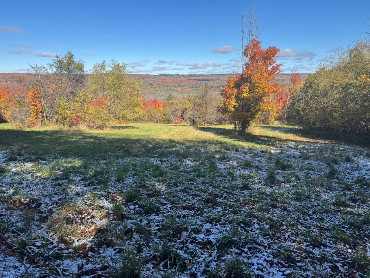
As I was leaving I sort of overheard two of the Cidery employees saying something about snow, but I paid it no mind. Until I got out onto the road and noticed snow on the ground! Winter is coming.
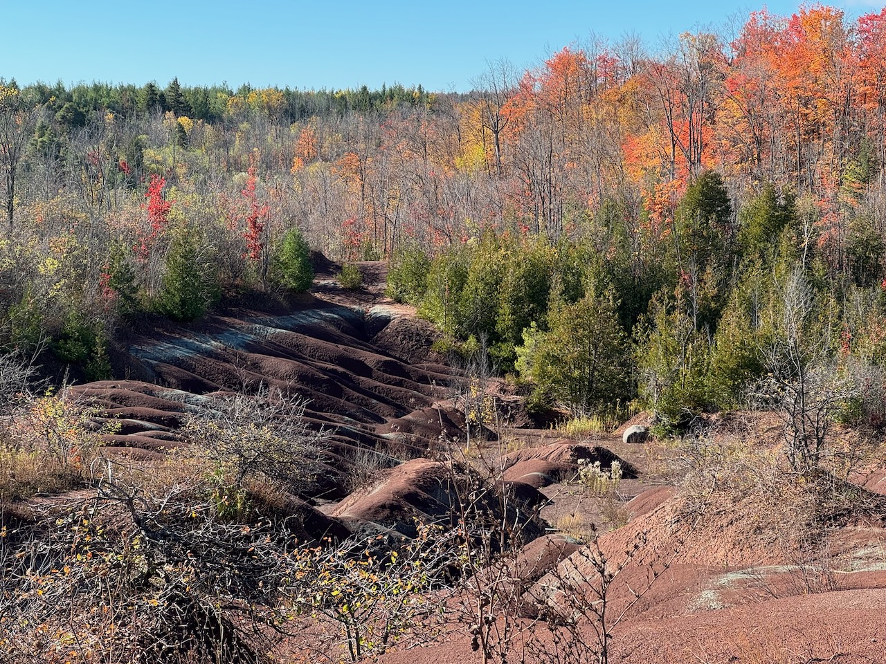
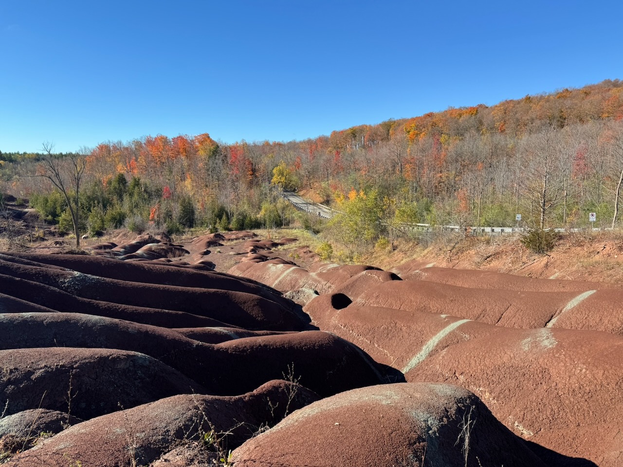
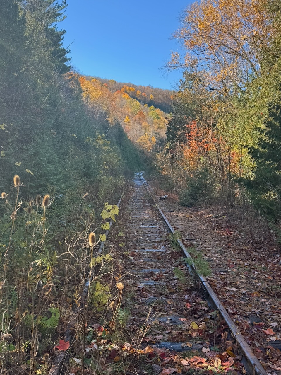
I officially finished the Toronto section when I entered the Cheltenham Badlands. After a few minutes of nothing remarkable I ran into three other hikers going the opposite way. They asked if there was anything interesting in the direction I had come from. I told them no, unless they’re really into apple cider. So they turned around. We walked together for a while, they had come just to see the badlands. Apparently this place is so popular you need a reservation for a parking spot, and you get only a certain amount of time. It’s lucky I finished at the Cidery last time, as this is where I would have tried to park otherwise. I would probably just have shown up without a reservation and had a problem. They told me that I should leave the main trail to see the badlands properly. They were right. If not for them, I would probably not have seen the badlands. Good people.
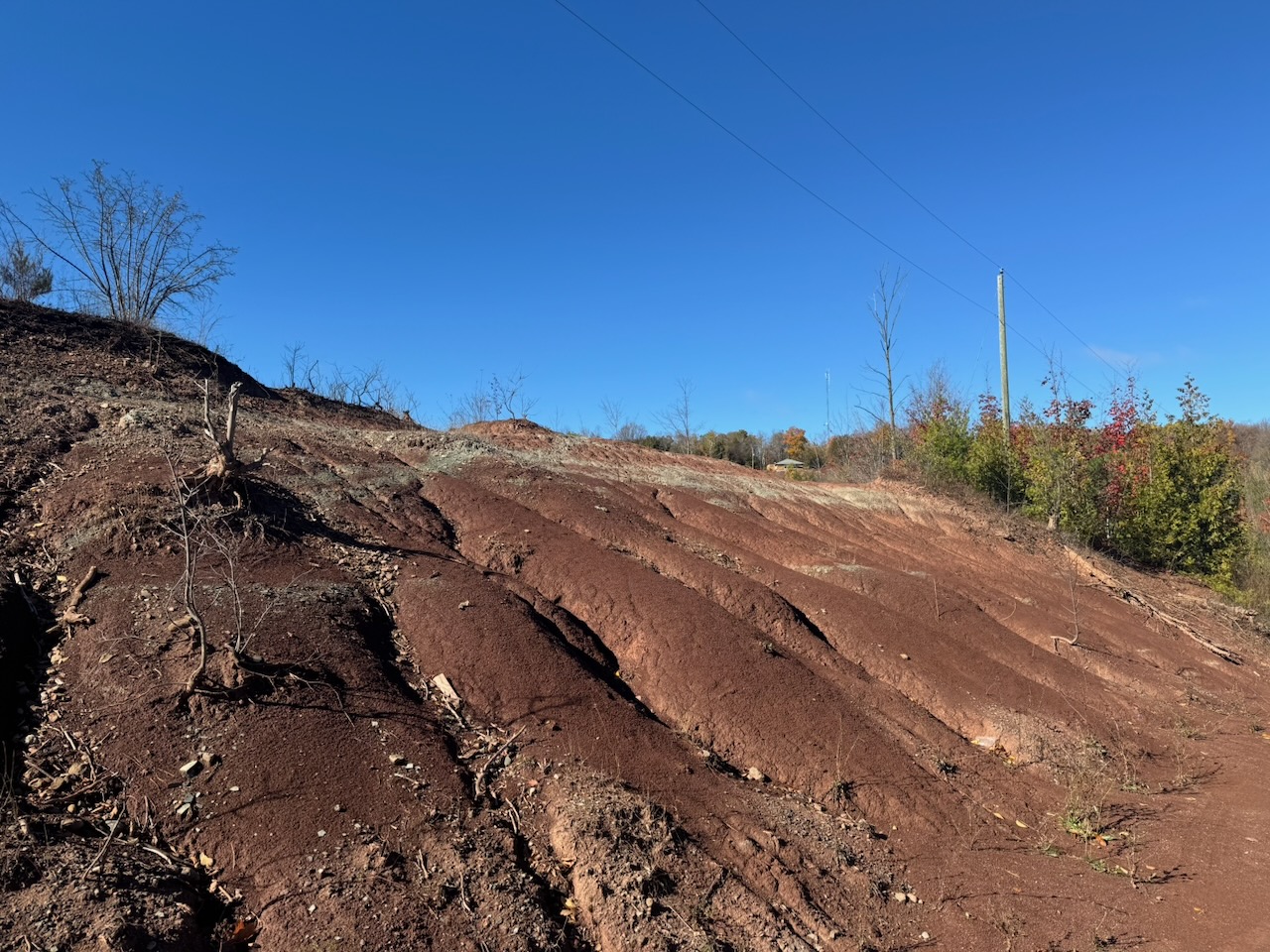
The badlands are… fine. It’s maybe one or two acres of reddish clay “dunes” with streaks of grey shale. They are so popular that you need the aforementioned parking reservation, and they have security staff on site to enforce it. There’s a guy who has a house right next to it and has a “Parking $20, No Reservation” sign out front. When I went past his house later in the day his entire lawn was filled with cars, he must be making thousands on a weekend. I’ve seen way cooler stuff than this on the trail so far, but I guess they’re unusual. One fun fact: The similarity in colour of the badlands to Queen’s Park is no coincidence. The stone used to build the Ontario legislature came from this area.
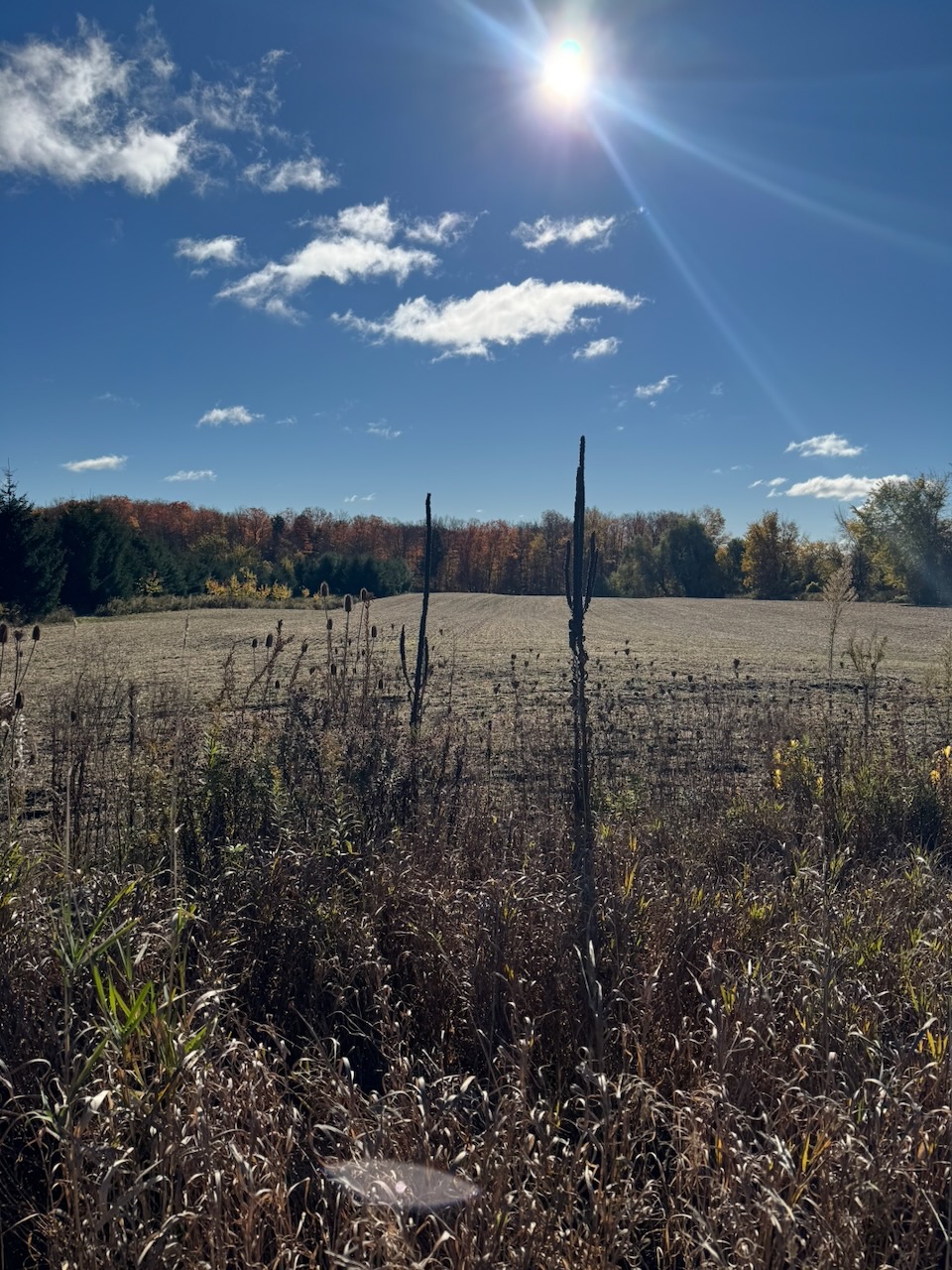
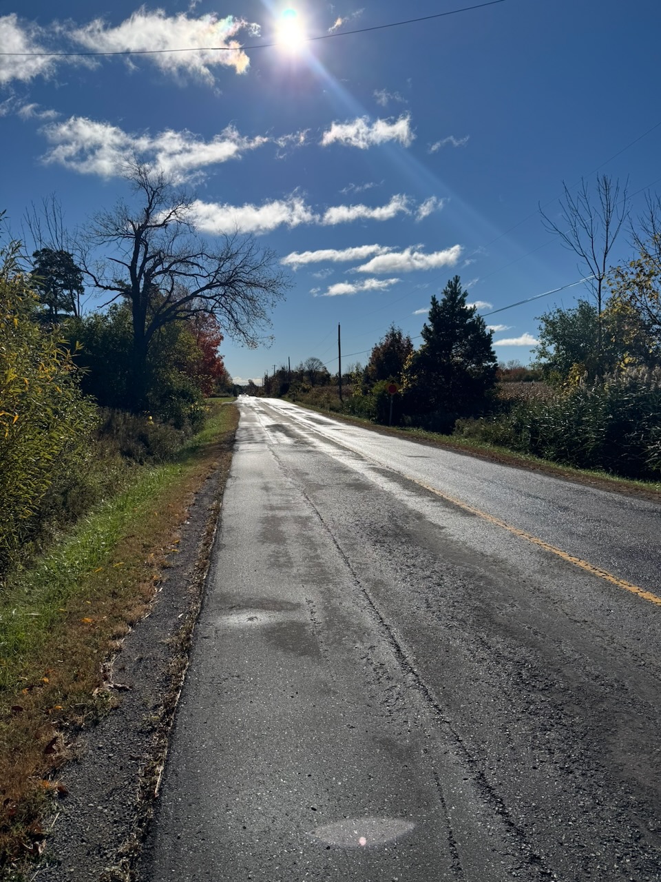
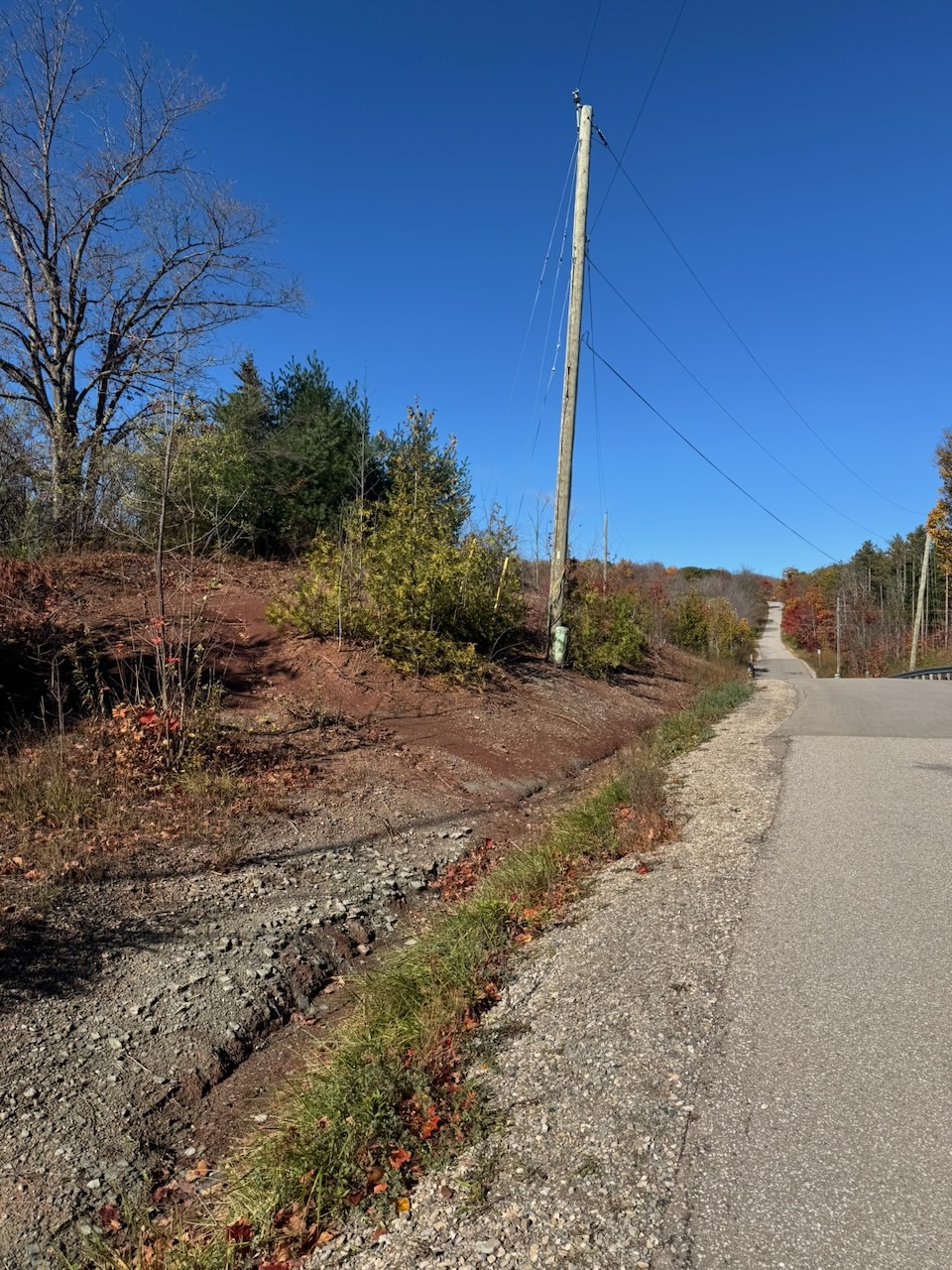
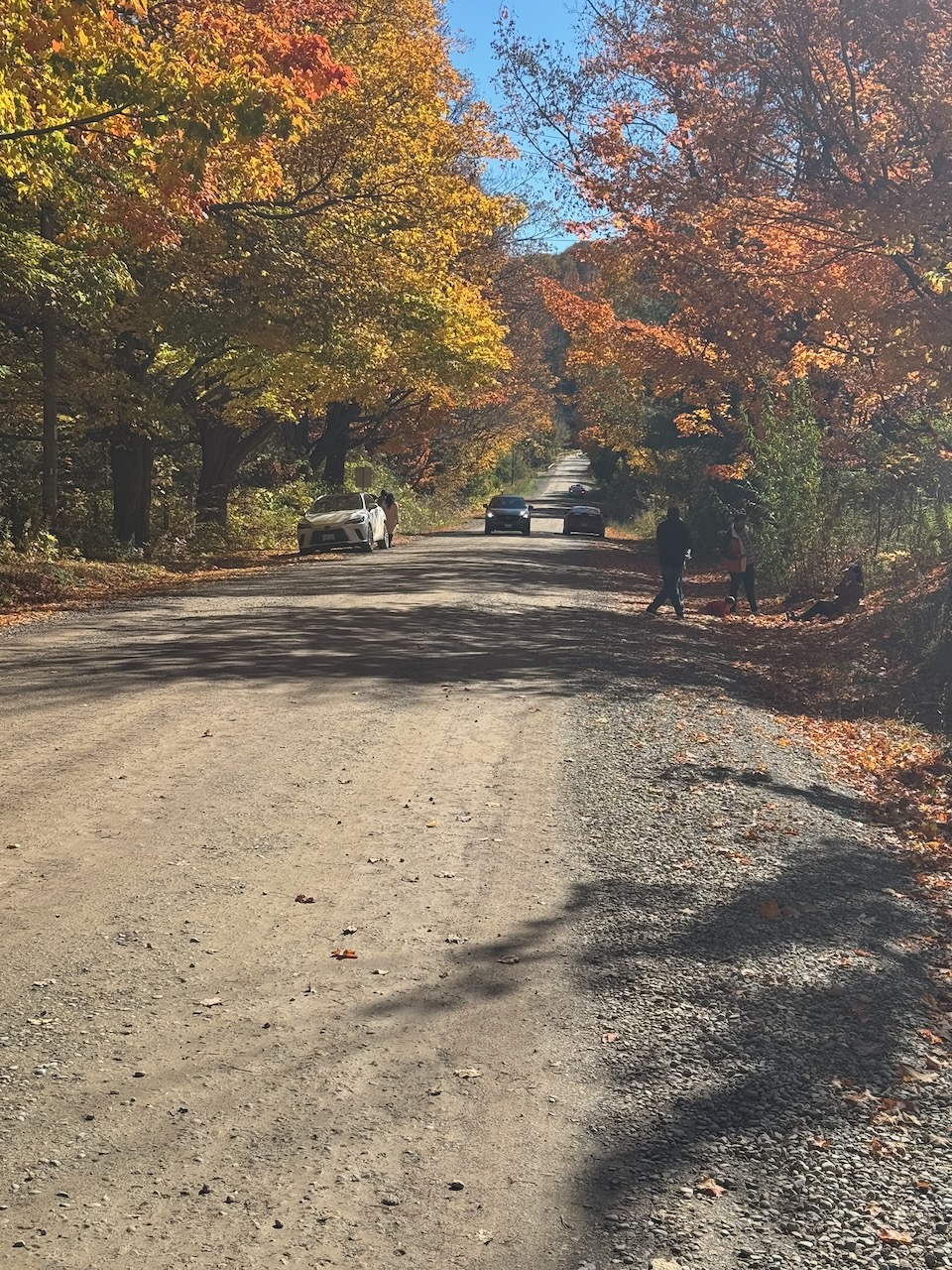
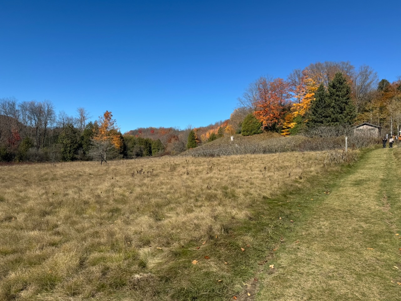
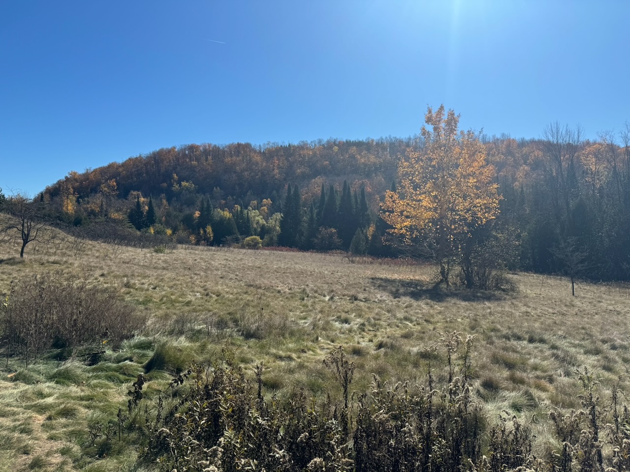
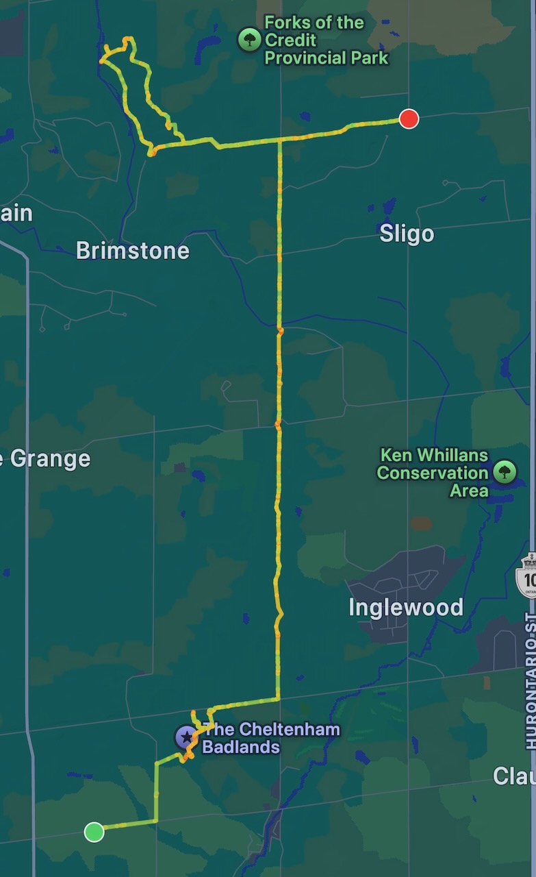
The long straight section you can see in the route is not all on roads. Some of it was though. On one of the roads I saw lots of parked cars and lots of people out taking selfies. I was excited, something interesting ahead! Nope. Near as I can tell they were out looking at the fall leaves. I couldn’t see anything remarkable about the particular area they were in. They were literally taking selfies with trees, not even remarkable ones either. Maybe it’s on some list of “fall colours” drives or something.
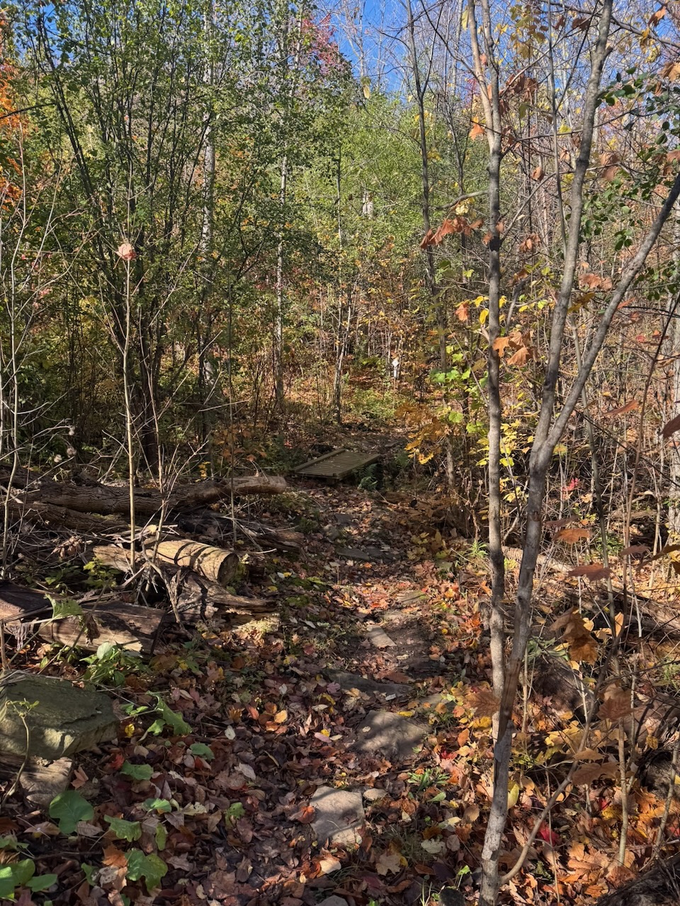
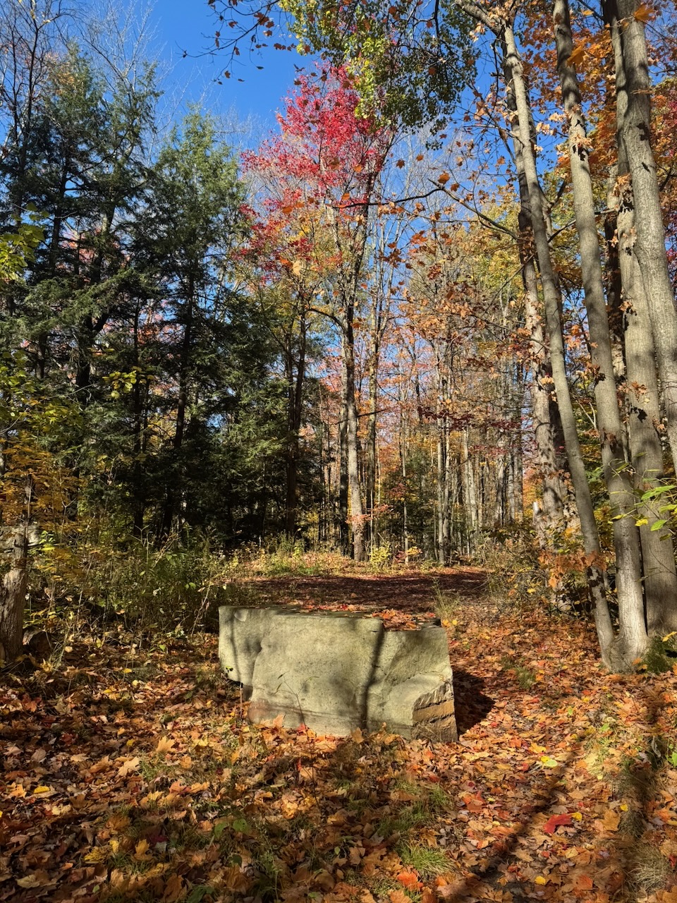
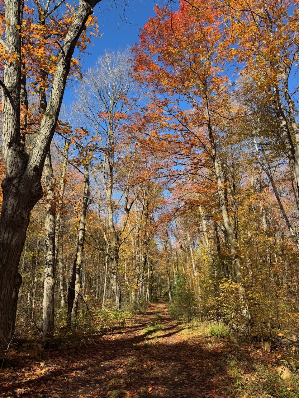
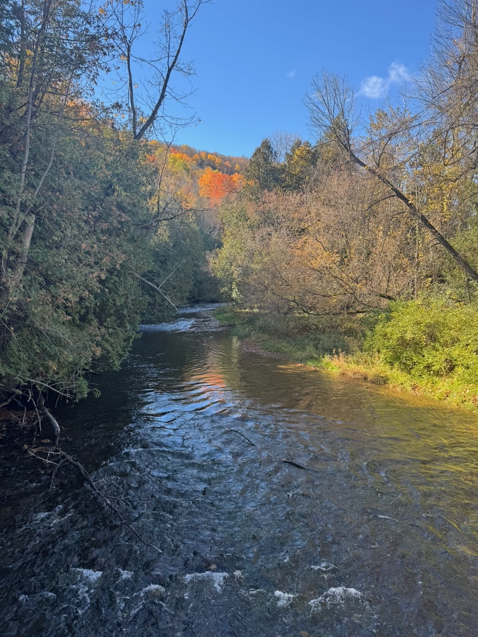
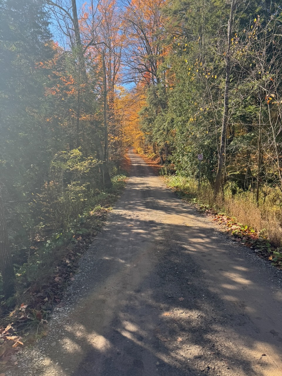
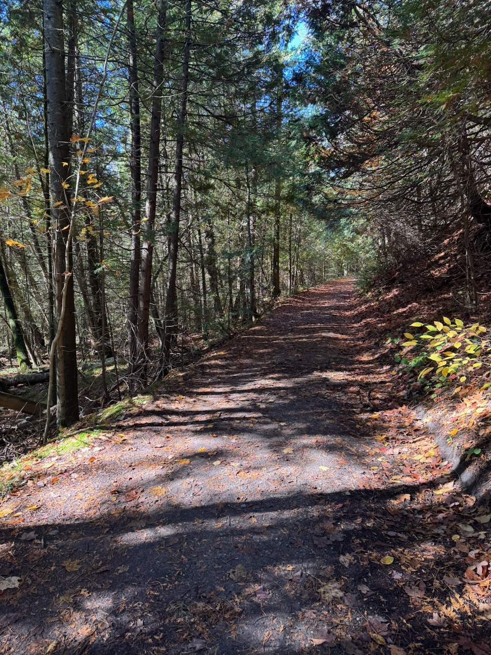
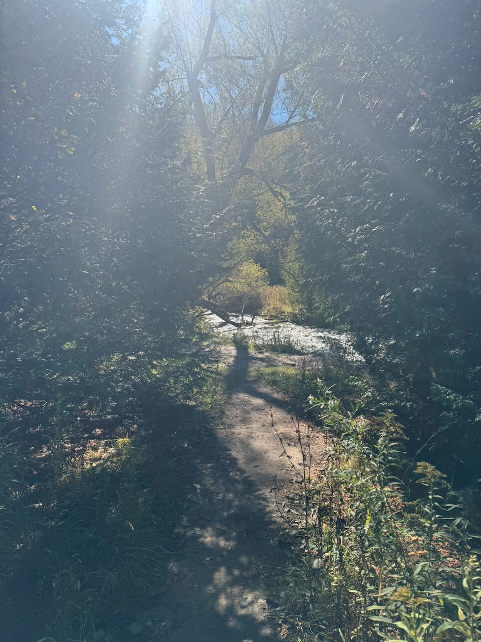
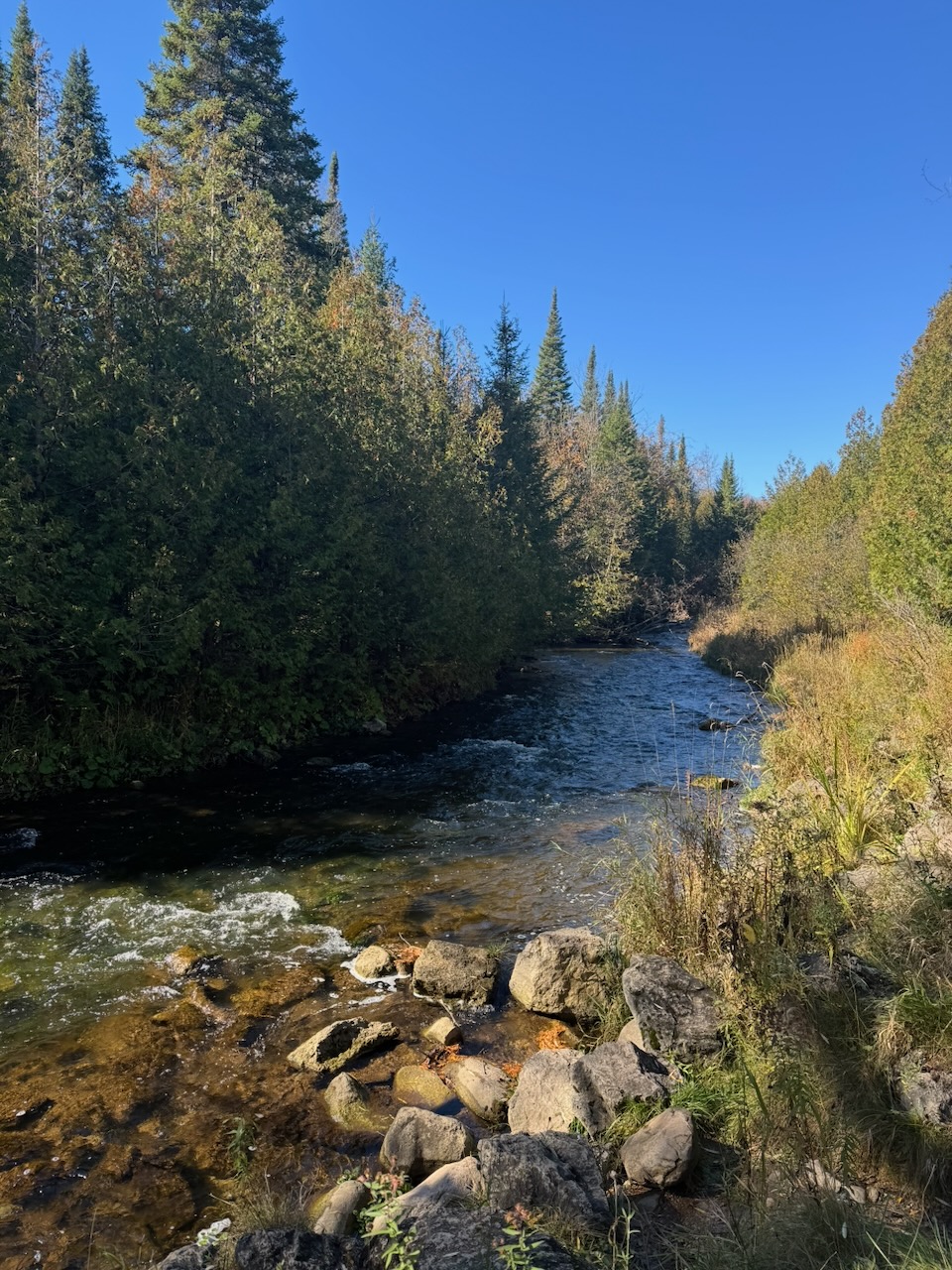
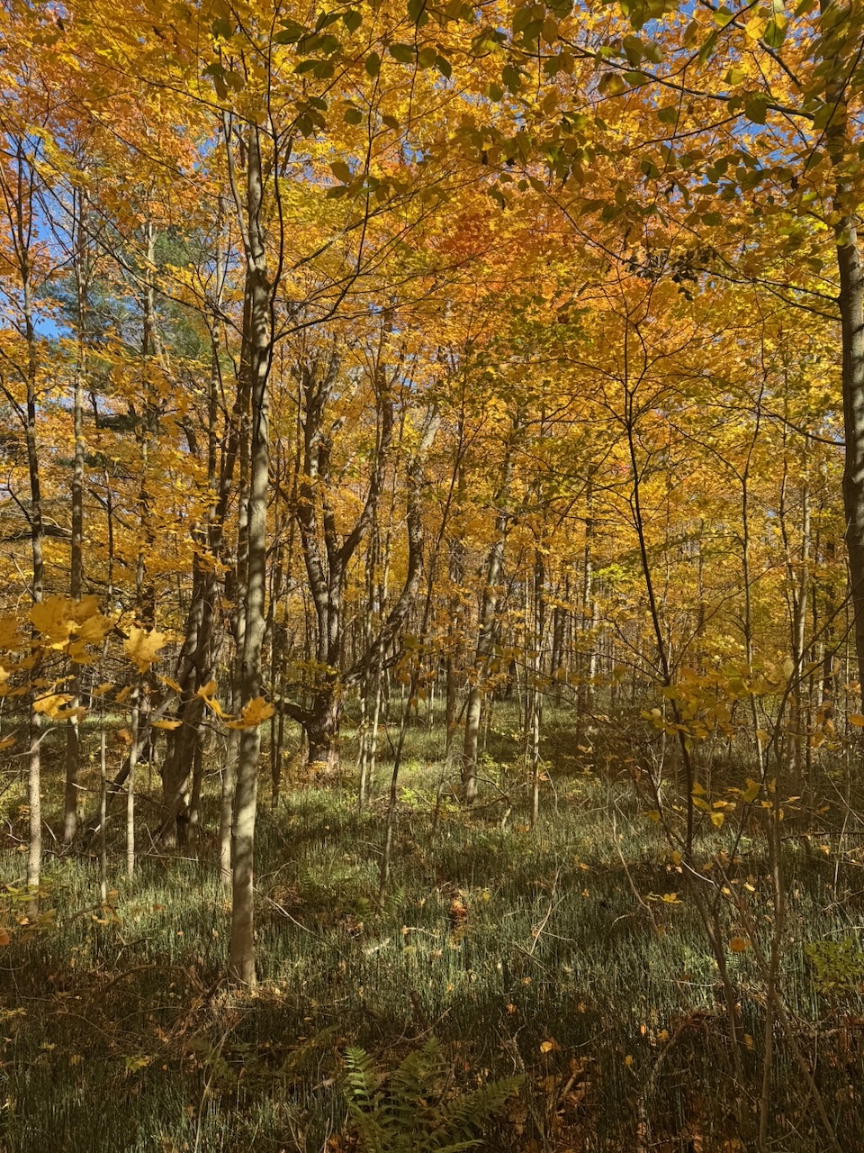
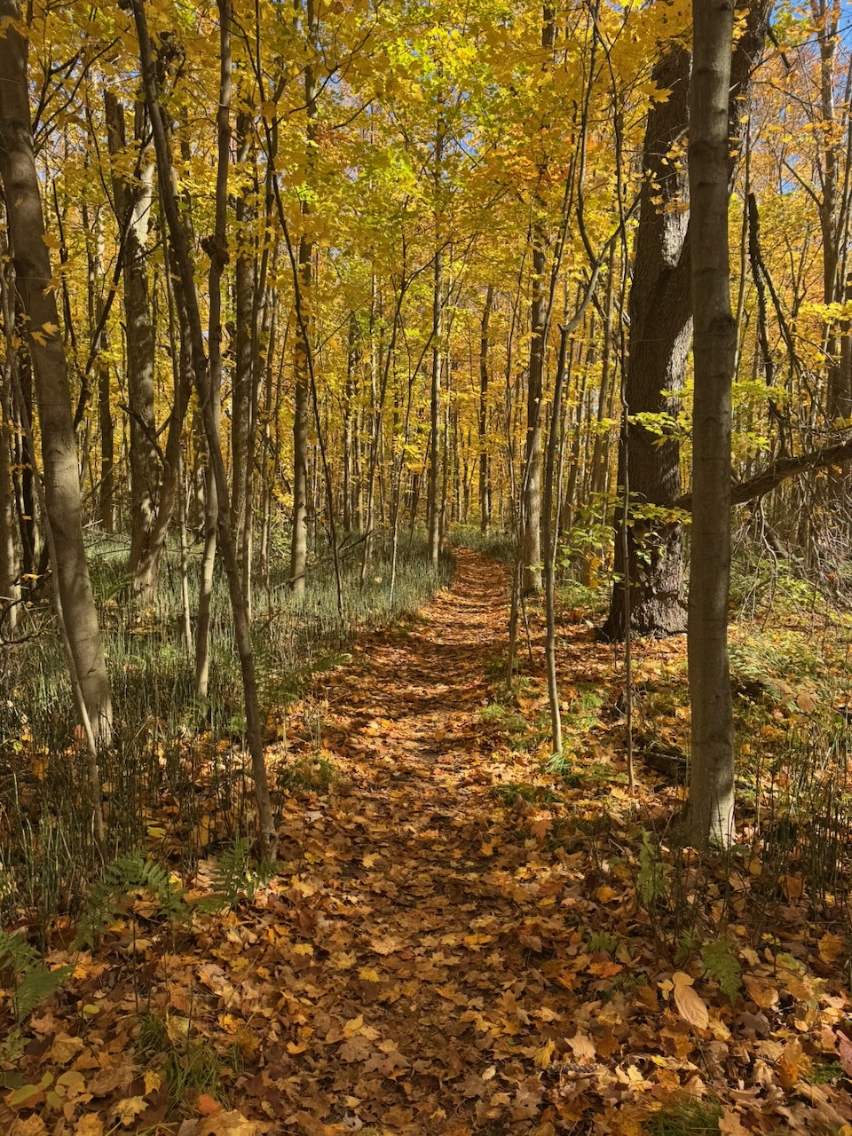
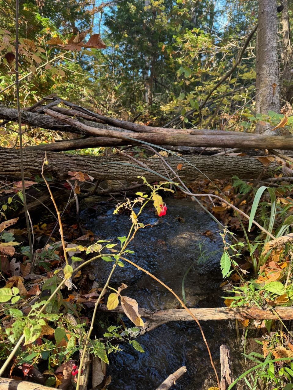
The trail takes an odd route after this. It goes in a several kilometre long “loop” through Forks of the Credit Provincial Park. This is the left side of the sort of “T” shape in the route map. The fall colours here were nice, much nicer than the wherever the selfie people were. I passed two dudes on my way through the park and stopped at the Credit River to eat my lunch. Said two dudes showed up a few minutes later to see the river as well. Turns out they are also doing the whole trail bottom to top. They started in August! We chatted about the trail for a while, as well as our plans. Good people.
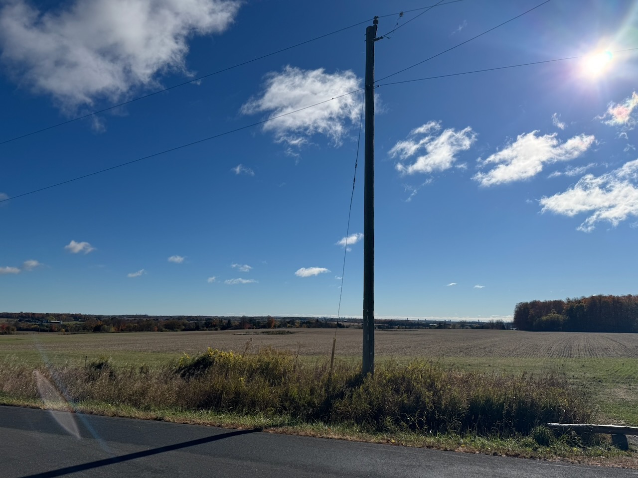
I decided to stop a bit before the usual 20K this time. There’s a “parking area” at the corner of Willougby Rd. and Escarpment Side Rd which is just a slightly larger section of road. But the next parking area was many more kilometres, and I wanted to take it a bit easier this time. I called for my Uber. It was “taking longer” to find me a ride. It then asked if I wanted “priority” for another five dollars. Ok sure. Even after this, it was still “taking longer”. After maybe ten minutes it gave me a driver, 20 minutes away. The Uber hack is getting perilous. That said, I think it still has some life, the next hike is basically a “ring road” around Orangeville, ON. So there should still be some drivers around.
I did buy some cider when I got back to my car. In the hours since I had started it seems all of Toronto had shown up to pick apples and drink cider. They also had security on site to help with the parking. I’m thinking of buying land in the area just to open a parking lot. There’s gold in them thar parking lots!
Only 596.6km to go!