I had Remembrance Day off from work this year. That’s never happened to me before. With much of my company being in Alberta and USA (which do have Nov. 11 as a holiday) they decided to just give it to everyone. So let’s go hiking!
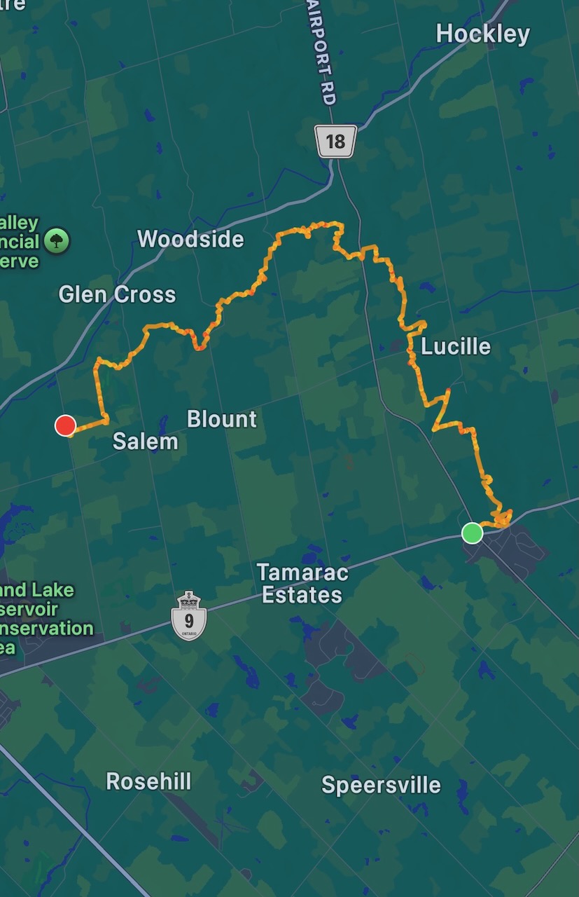
I arrived in Mono Mills and parked at the local Tim Horton’s. After buying a medium tea I asked if I could park in their lot while I went hiking, they were very kind and said that was no problem.
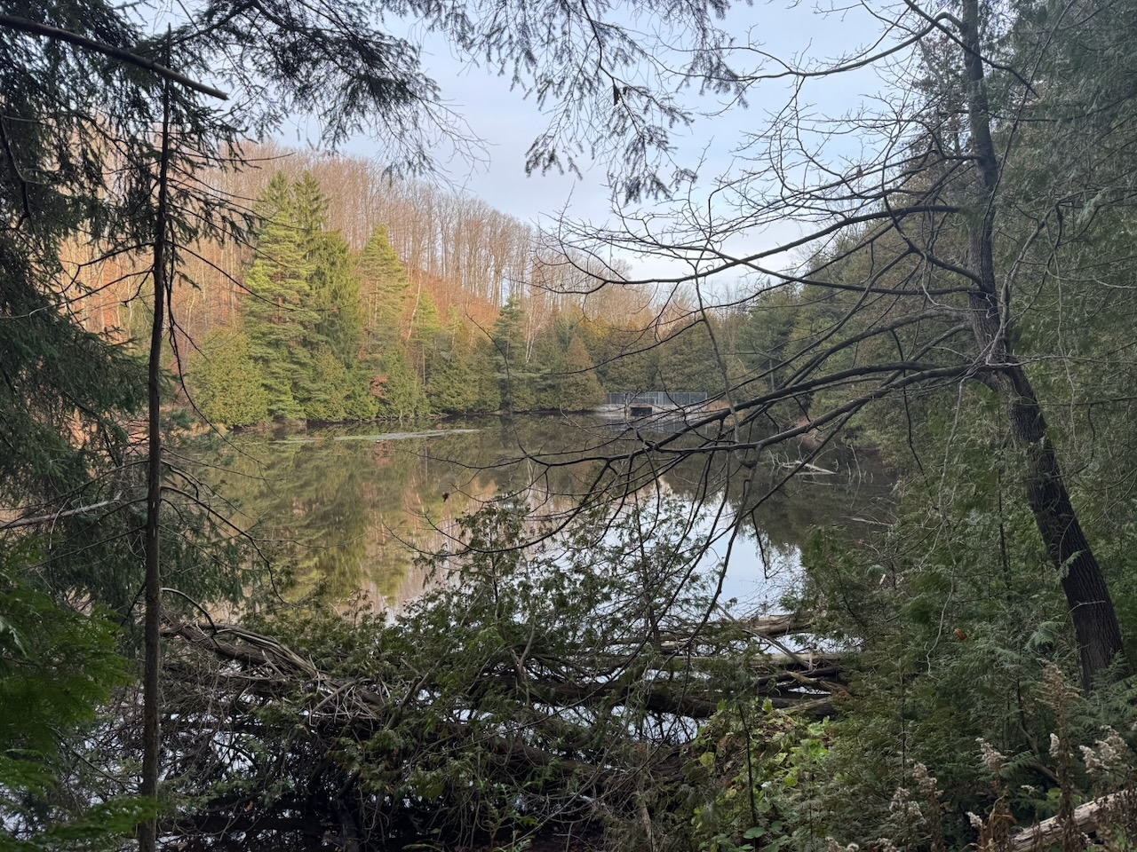
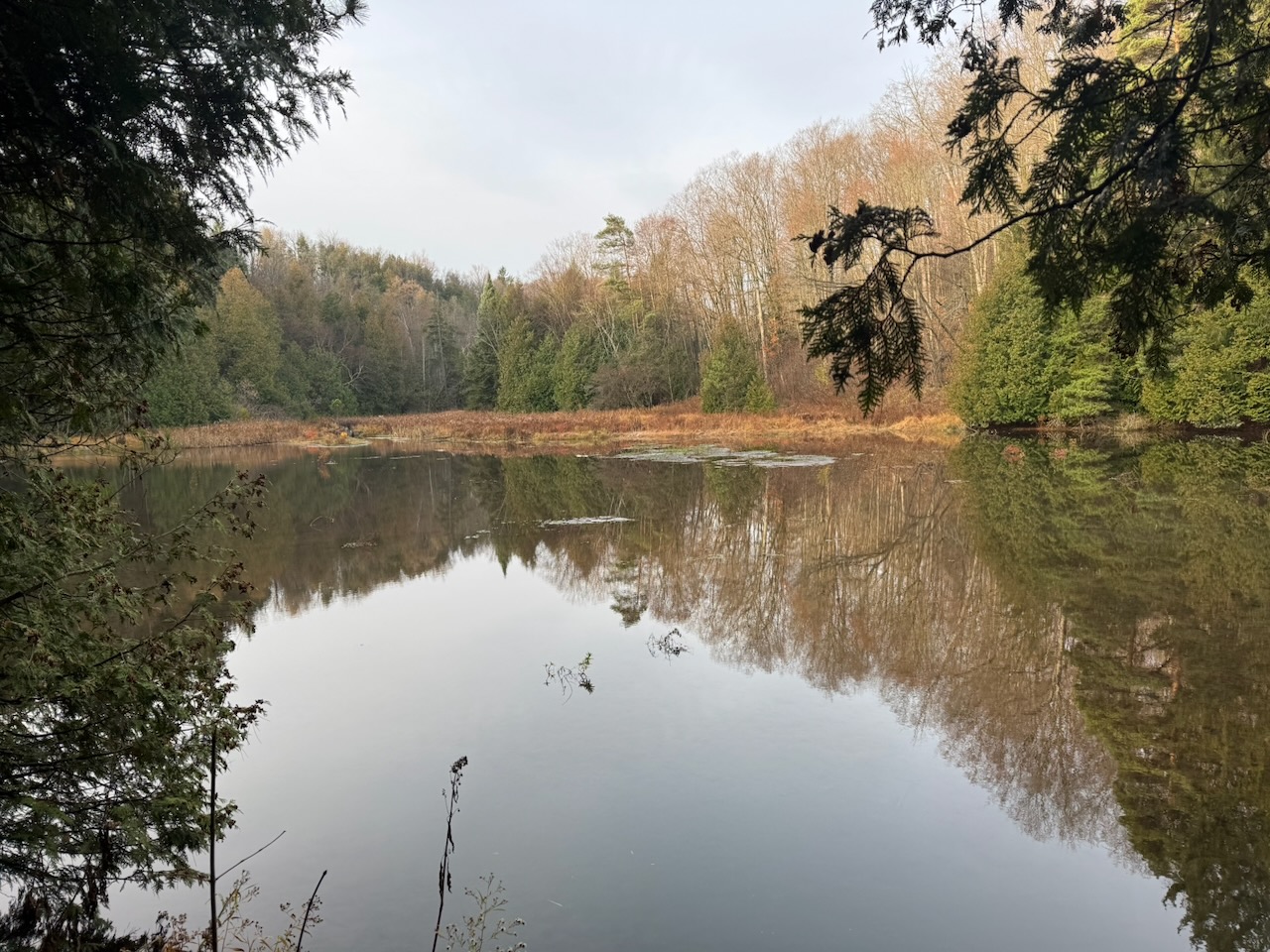
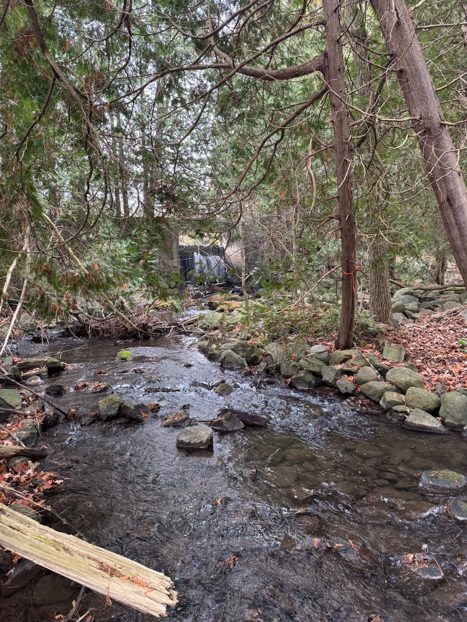
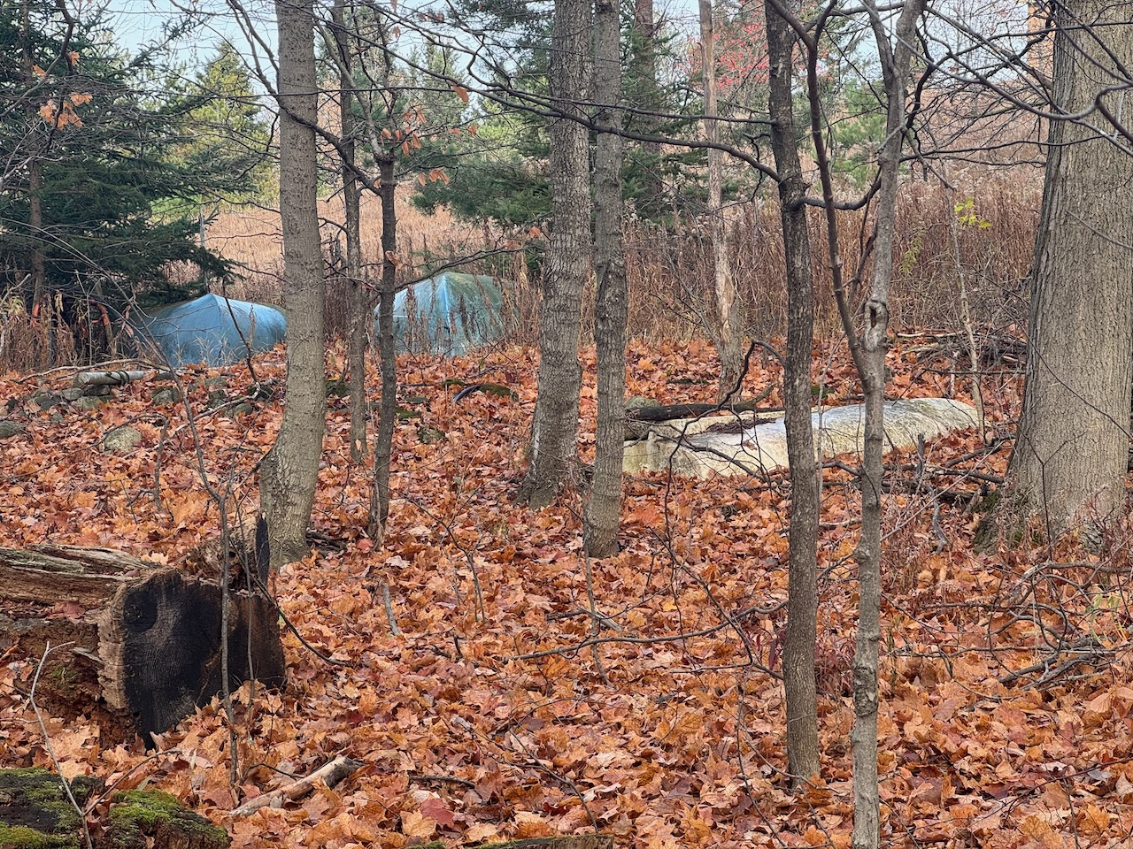
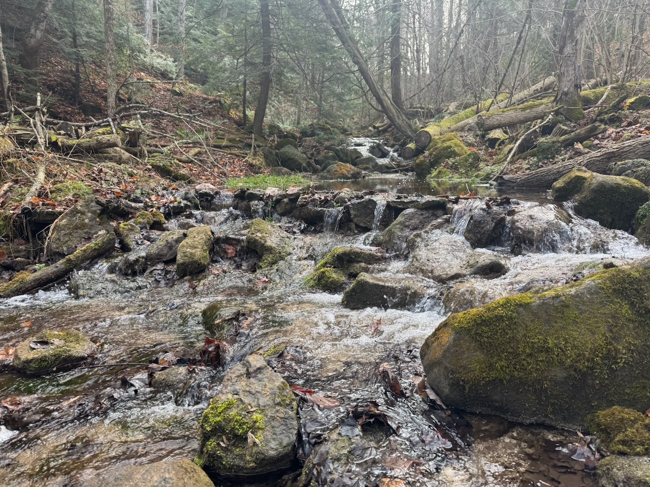
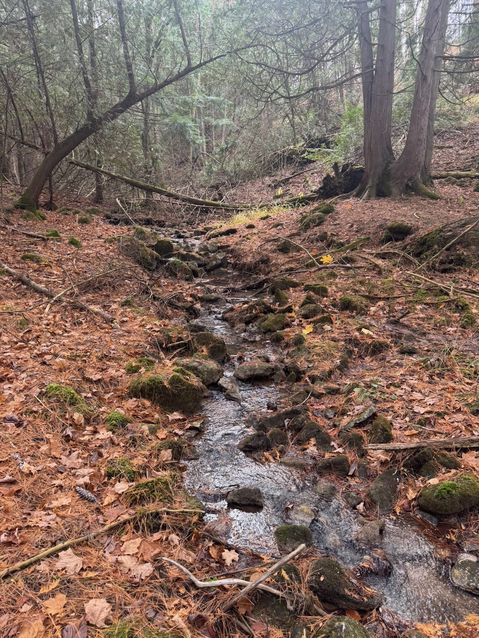
The trial enters the woods through some private property and I ended up at a small reservoir retained by a small dam. Turns out this wasn’t on the trail and I had wandered in the wrong direction. Oops, luckily I hadn’t gone too far off course and was back on the trail in ten minutes or so.
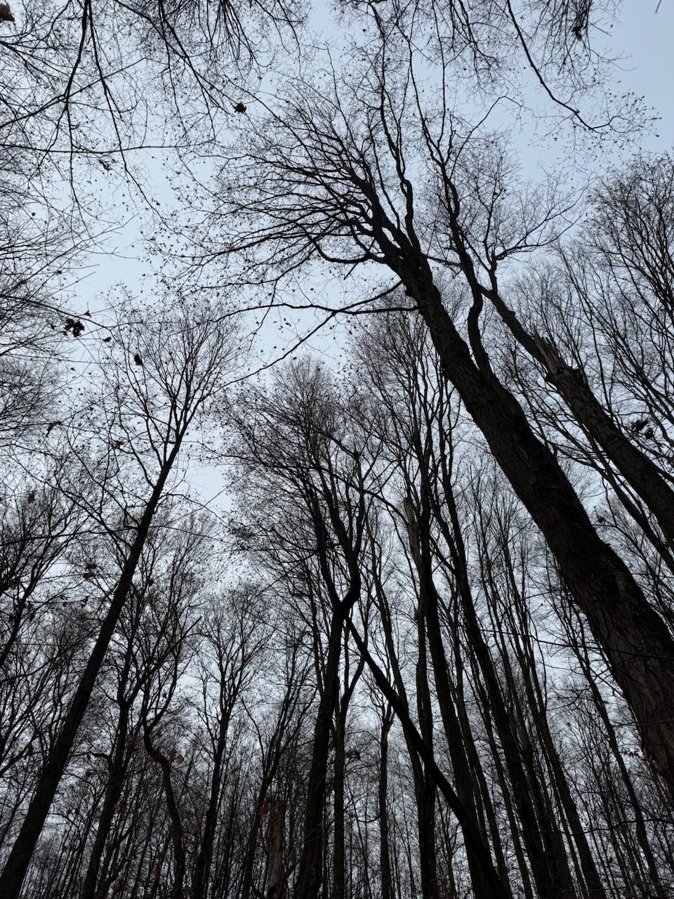
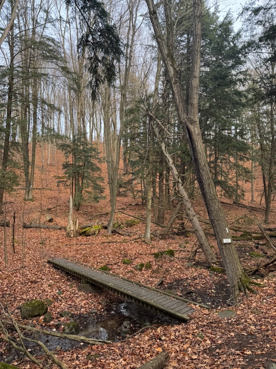
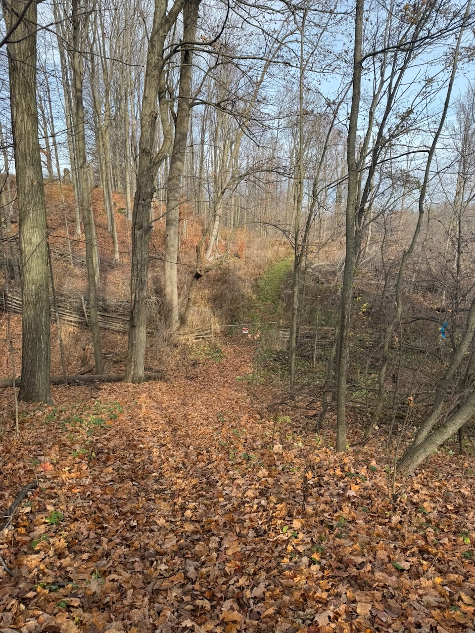
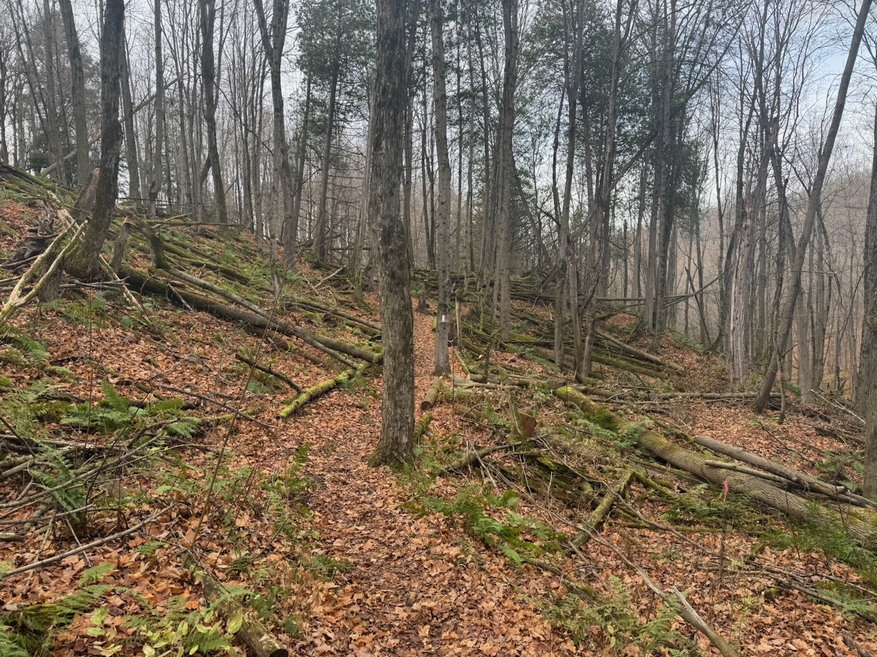
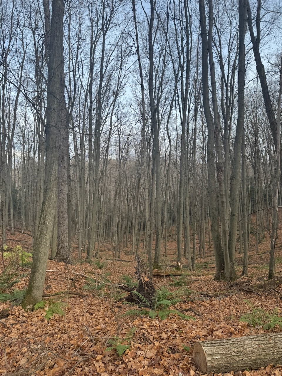
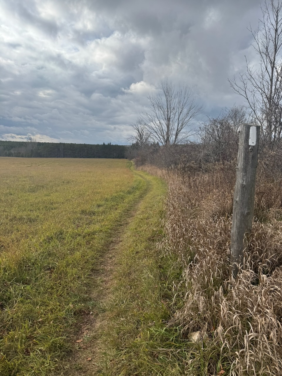
This was the hike where I noticed that nearly all the leaves are down. The trees are bare now, and will be for another five-ish months. The long dark. I still haven’t decided if I’ll continue through the winter, I’m leaning towards no at this point. I was talking to another hiker (can’t remember if it was this hike or another) who said they don’t hike alone in winter because if you fall and can’t get up there’s a good chance you’ll freeze before anyone finds you… So that’s been living rent free in my head recently.
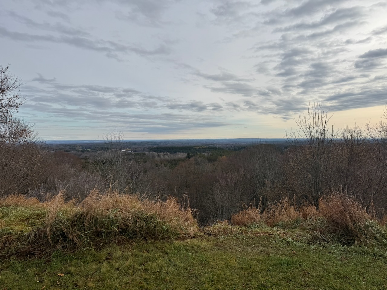
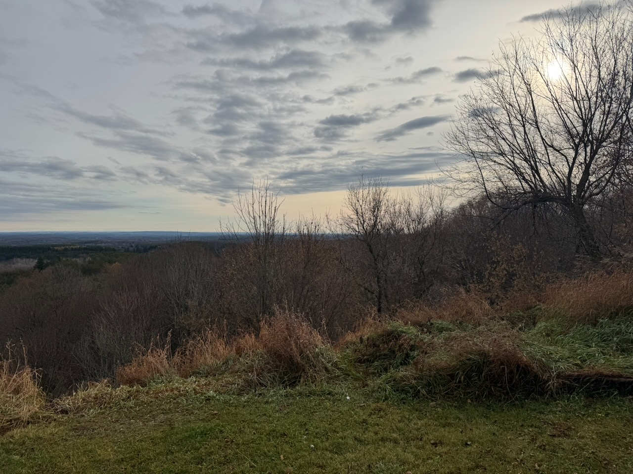
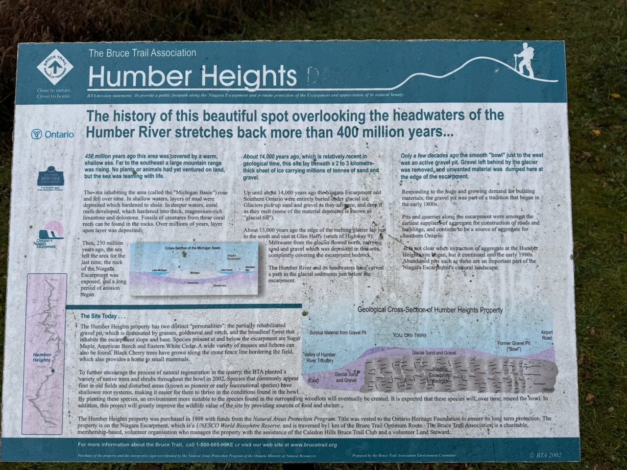
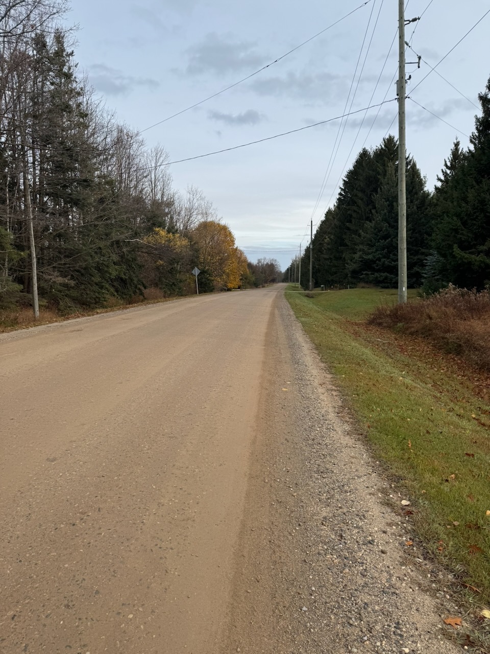
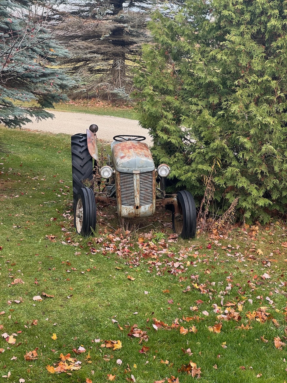
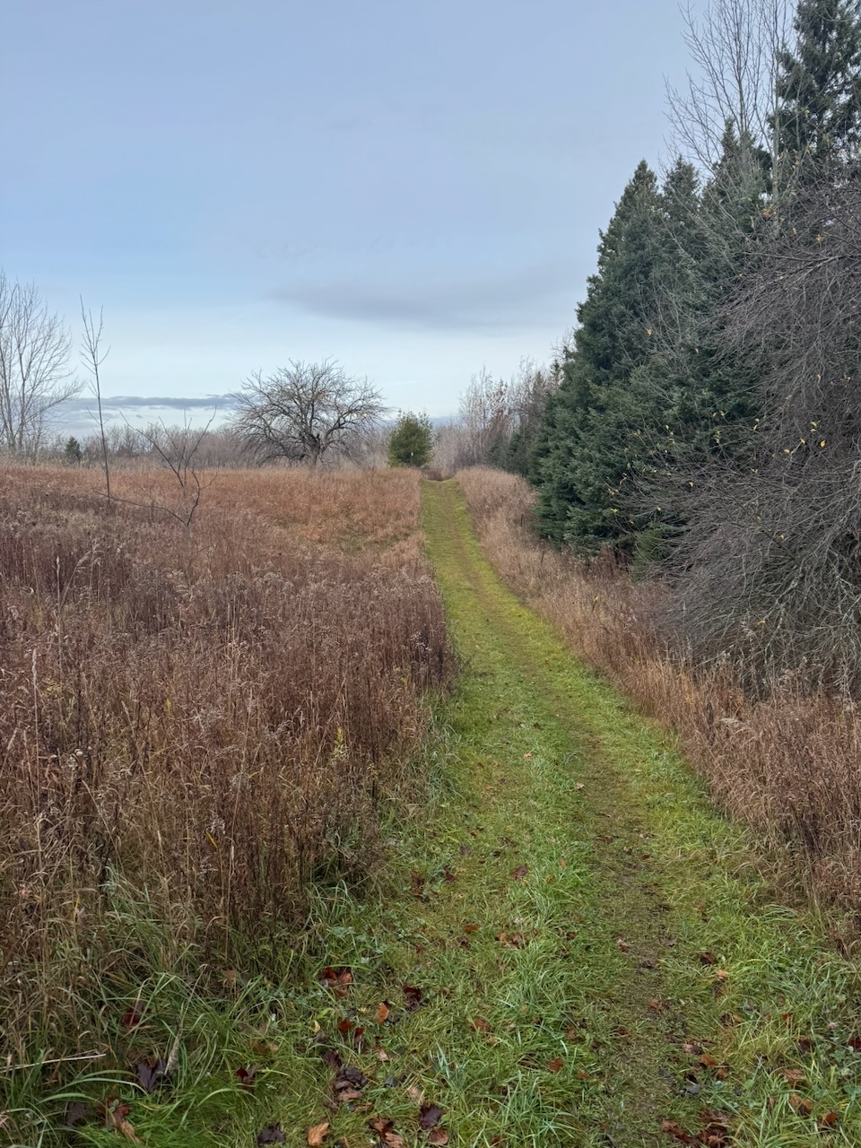
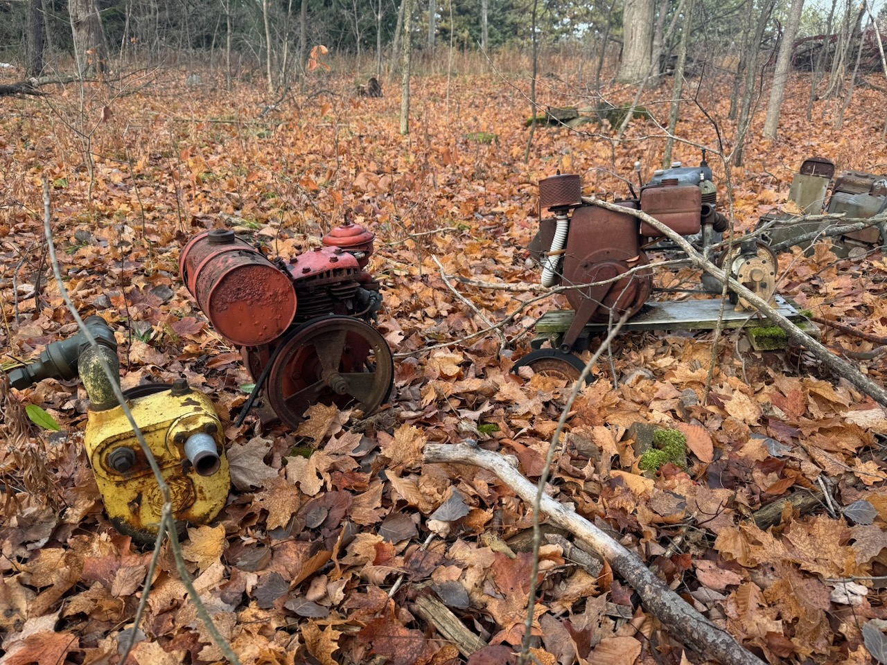
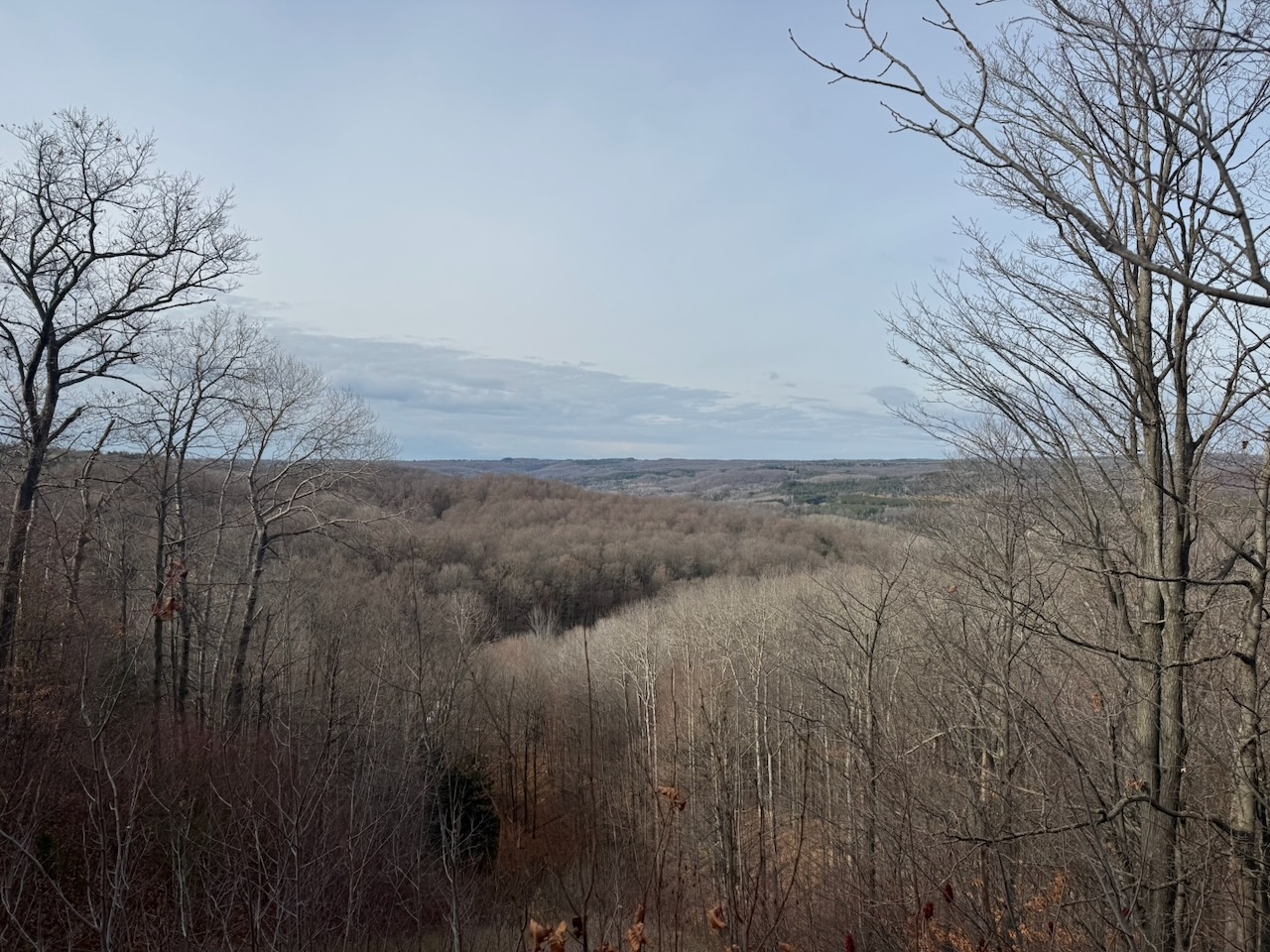
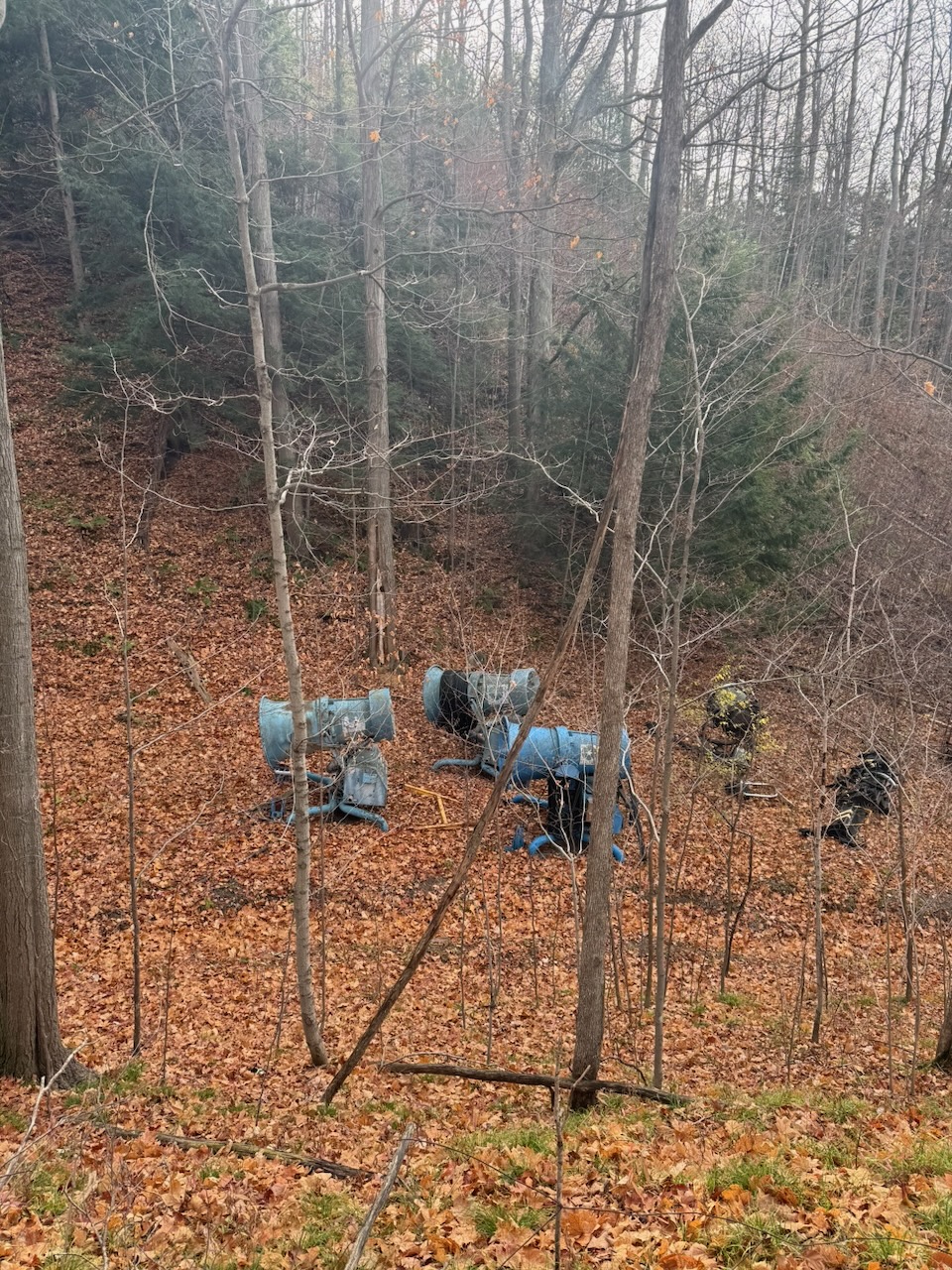
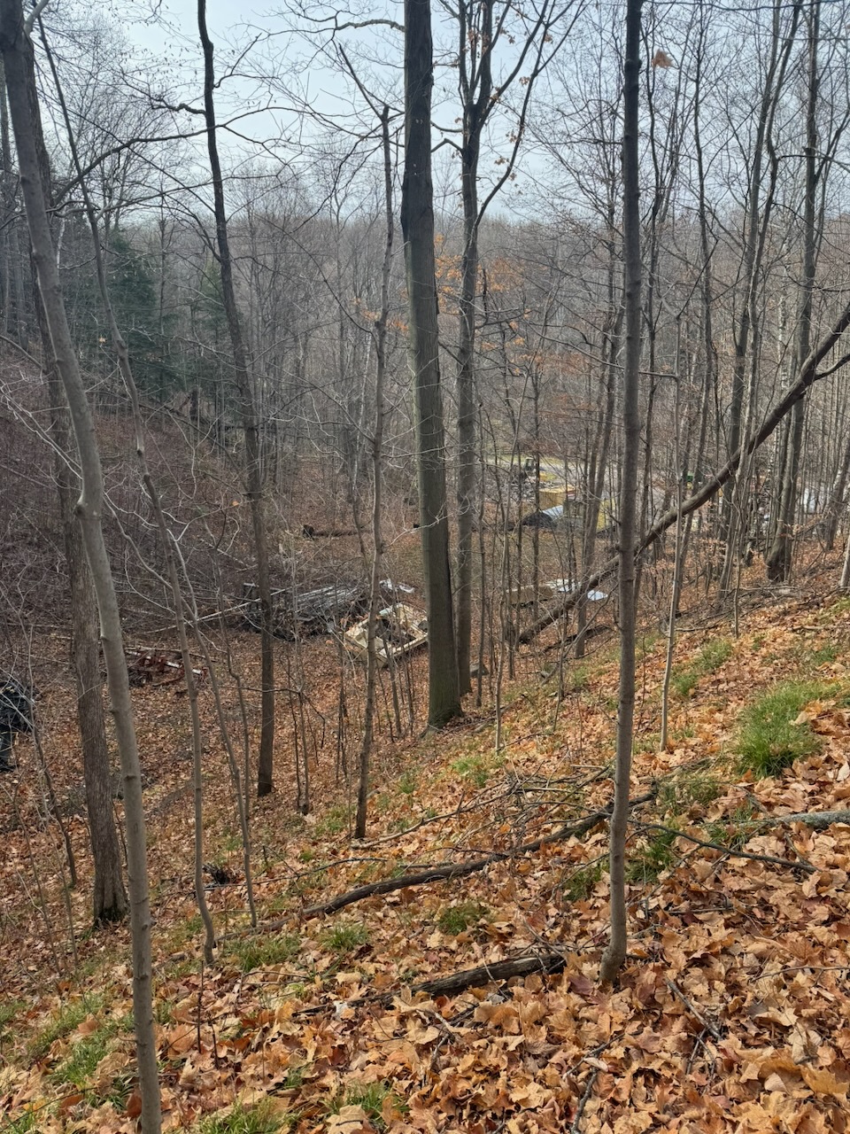
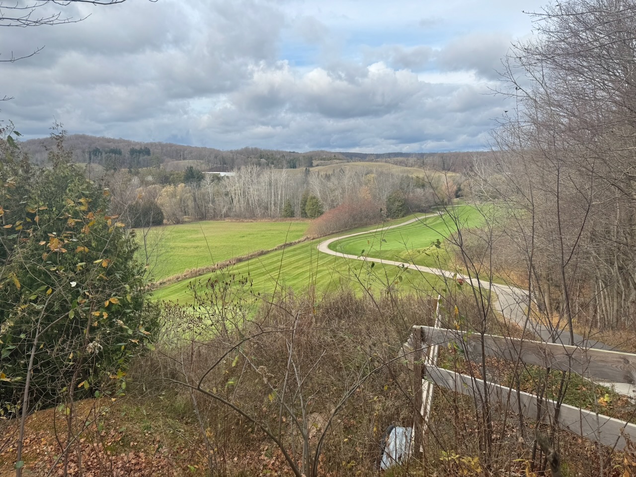
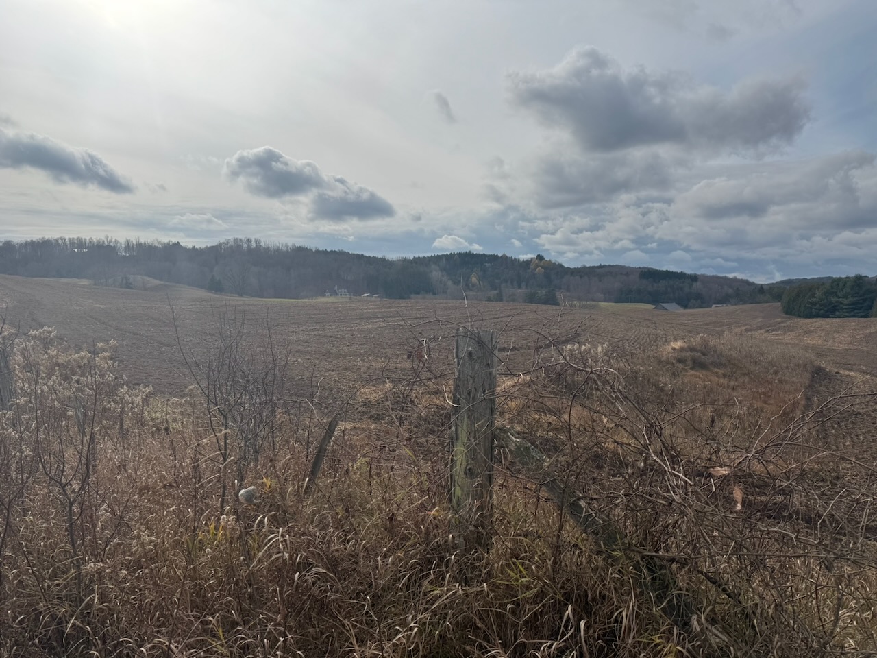
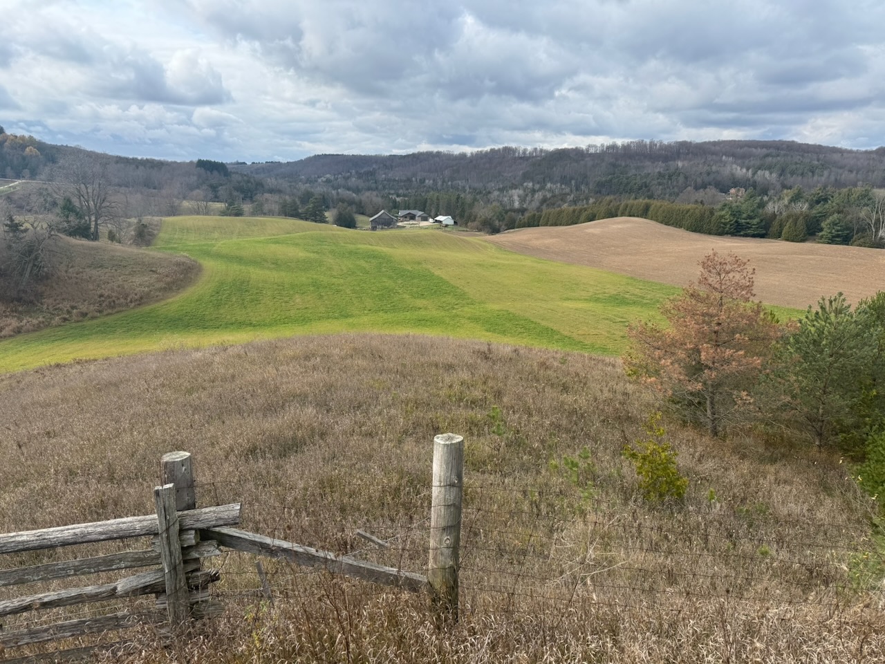
After some lovely views from “Humber Heights” I was spit out onto some roads and then behind fields again. Of course some more derelict equipment caught my eye and I found what looks like a gas powered water pump graveyard that some farmer has been adding to for years. It seems like farmers would know people who deal with scrap, brush, firewood, fill, etc. So I’m surprised that they’ve been adding to this pump graveyard for (looking at the designs of the engines) at least 80 years.
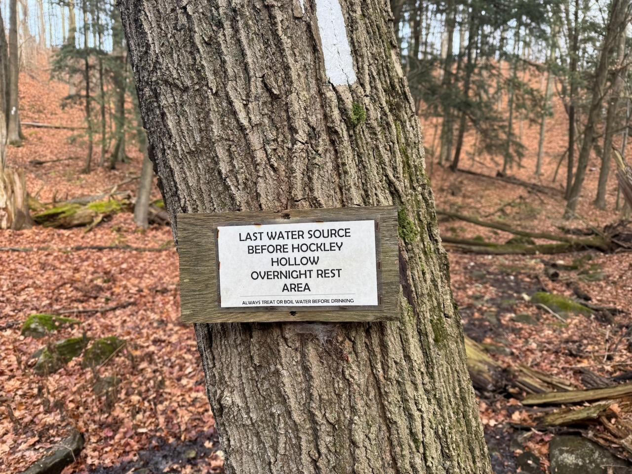
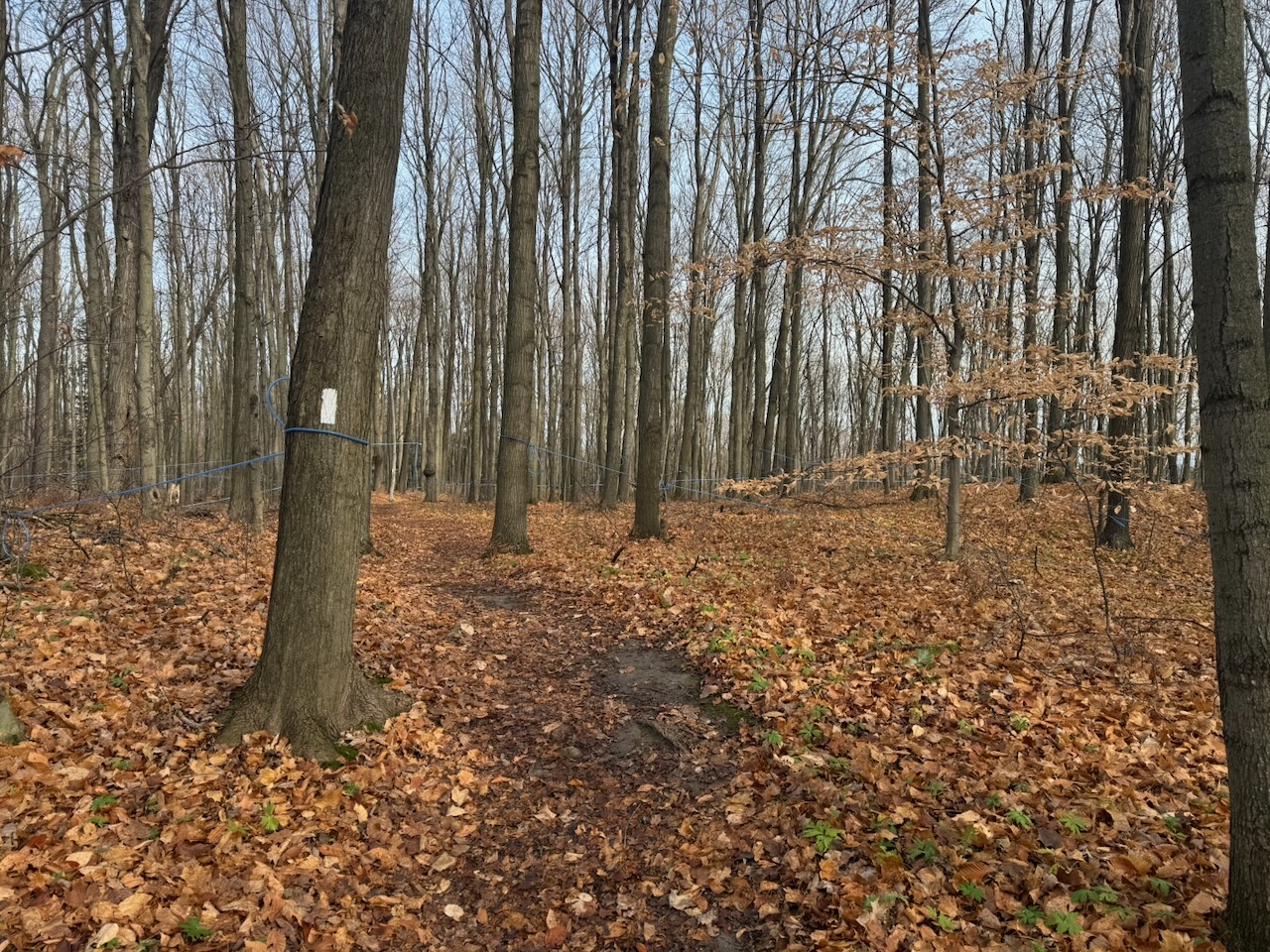
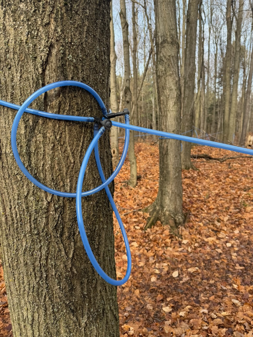
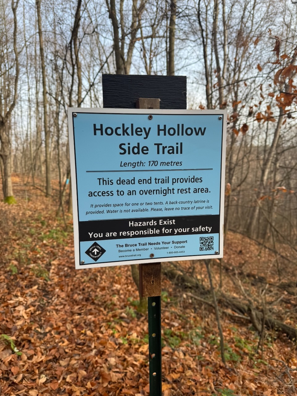
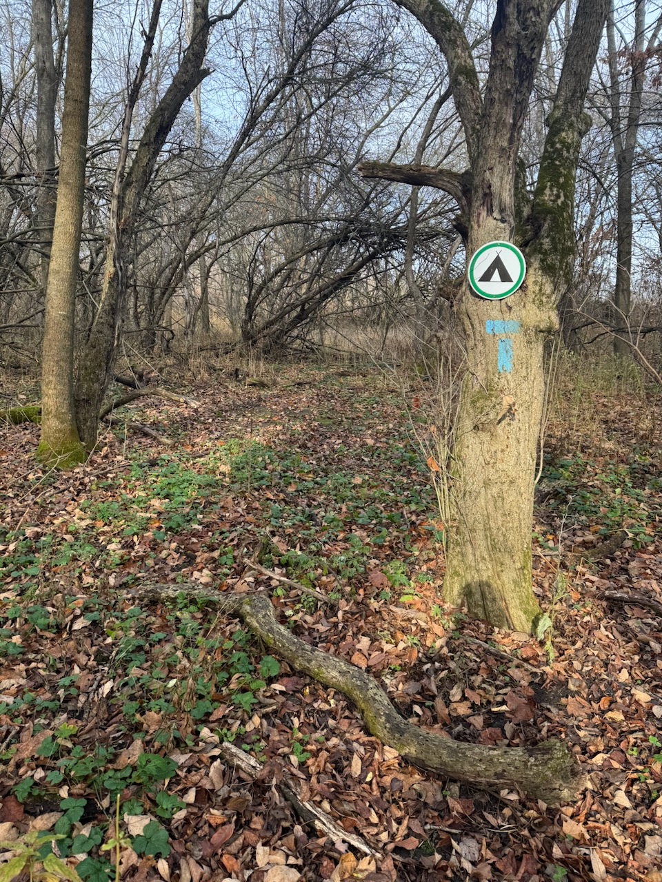
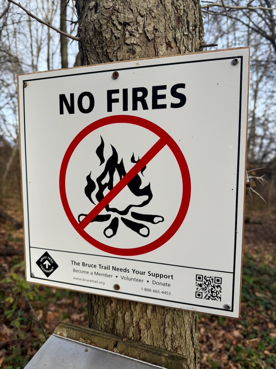
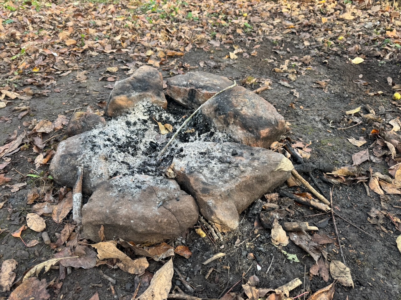
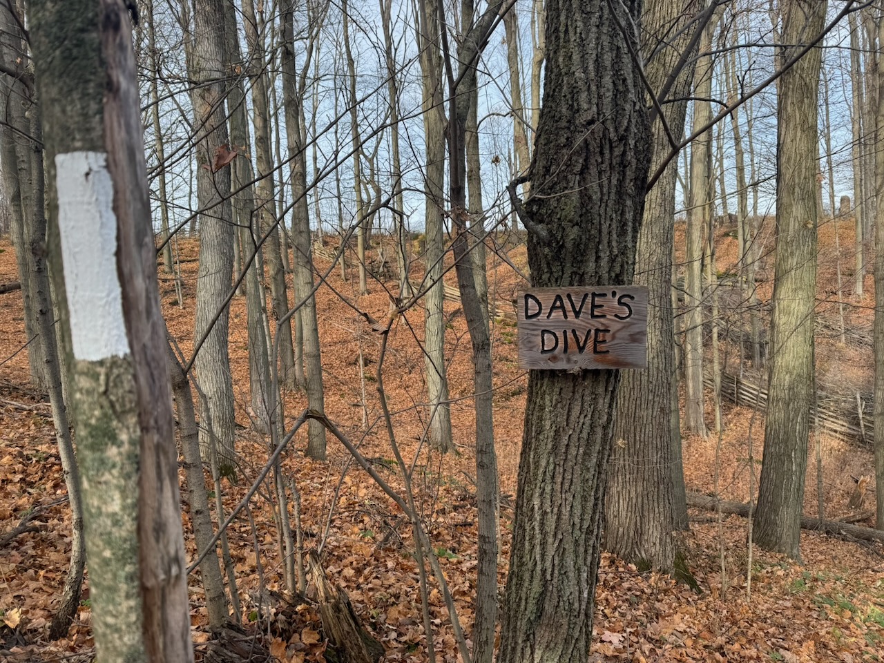
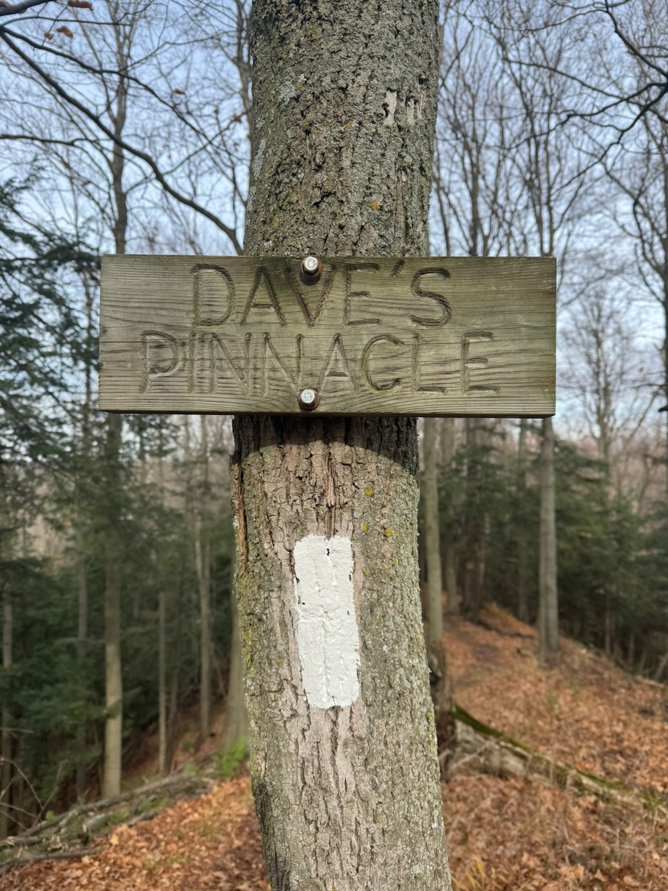
After passing what seemed to be a sugar bush (maple trees with many miles of tubes to collect the sap) I decided to do something I don’t normally do and visit a side trail. I’d seen several signs mentioning the “Hockley Valley Rest Area” which is apparently one of the few places on the trail you are allowed to camp. Since there are so few I was curious what one would look like. Turns out, it looks like nothing at all. If there wasn’t a sign there you’d have no idea it was a camp site. there’s barely a clearing, and there was definitely no “latrine”. Since this is relatively close to the Hockley Valley, which has many hotels and BnB’s it’s odd that they’d bother at all.
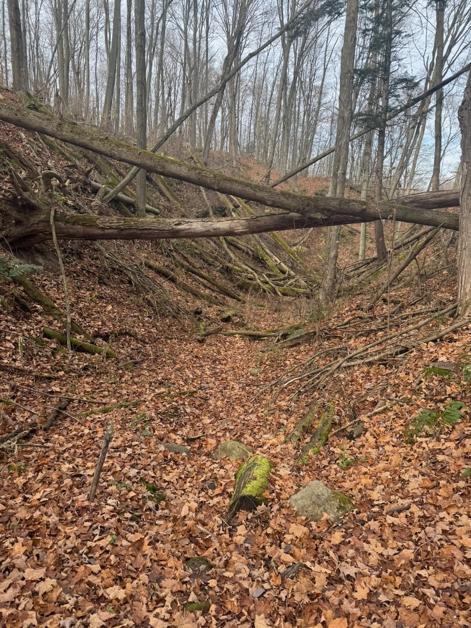
This hike had lots of ups and downs (this section is called Caledon Hills after all), though generally more ups. In fact, after I was finished, my Apple Watch said that I had a new elevation gain record of over one kilometre. Note this doesn’t mean I actually moved 1km further from the centre of the earth, rather it means that all the “ups” added together total about a kilometre.
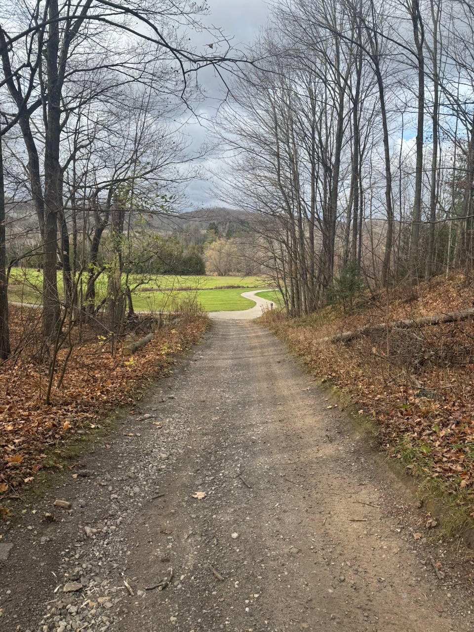
After some more views out over golf courses and fields I was spit out onto a street. At this point it was getting late enough in the day that I had to get home. The next parking area was not far away but appeared to be at the bottom of a valley, and, while doing this I’ve learned how much geography influences cellular signal. In valleys I often have no signal at all, while at the top of a hill overlooking said same valley I’ll have 5G+. Where I happened to stop however, I was not getting good reception. There happened to be a lady out raking her leaves and she offered me the use of her WiFi. She had a beautiful piece of property and drove a manual VW wagon. Her name was Erin. The universe, it seems, is not without a sense of humour. It took a while for my Uber to arrive but eventually it did and I made it home.
Only 550.9km to go!