This article originally appeared in slightly edited form in my cottage newsletter the “Big Cedar News”. A small weekly for residents of Big Cedar Point on Lake Simcoe.
Although most people on the point have very capable boats these days, I’ve noticed that few seem to use them to go exploring. Part of that may be the price of fuel: as of this past weekend, mid-grade ethanol-free gas was about $2.15 per litre at Monto-Reno. Friday Harbour is usually even more expensive, so I imagine some Friday Harbour residents may have to cut back on plastic surgery this summer to keep their “Super Air Nautique” boats fuelled.
On a related note, has anyone else noticed that these places now ask for tips when you fuel up—and not just $2 or $5, but a percentage? I know the gas bar girls are cute, but to tip 20% on a $600 fill up they better be pumping more than gas.
Where were we? Ah yes, what’s at the bottom of Cooks Bay?
Let’s find out. Last summer, I bought a jet-ski, which is ideal for exploring shallow water quickly because it has a low draft and a high top speed. I apologize that the photos are not better, I had limited time and only an iPhone, which I was using while sitting on a jet-ski.
After rounding Roches Point—I’m only now learning that this is the correct spelling, that it’s pronounced “ro-shes” rather than “ro-ches,” and that it was named after an Irish man named Roch—the first intriguing sight is what appears to be a beautiful old house at the top of the hill. I’ve known since forever that this house is “owned by the Catholic church”. But that’s it. If anyone’s interested (you’re reading this aren’t you?) it’s called Loretto Maryholme Retreat. It offers “spiritual retreats” and is run by the Sisters of Loretto, who also run the Catholic girls’ school near where I live, Loretto Abbey.
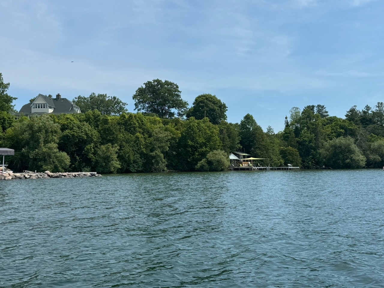
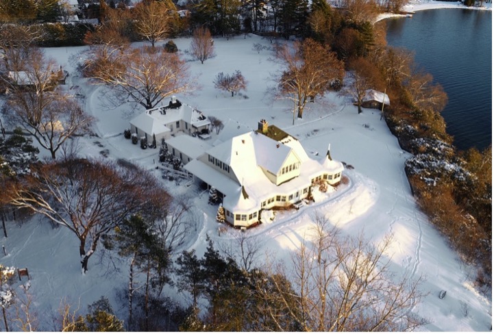
The left picture is mine; the right is from their website.
Up next there is a road end that has what looks like a ferry dock and a tiny marina that I never knew about at Balfour Beach. No idea who owns the marina or how you get your boat there. I can’t find a website for it or much of any info on the internet.
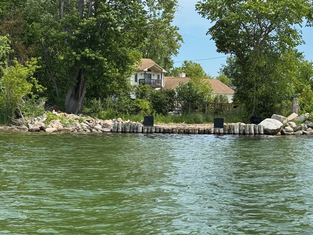
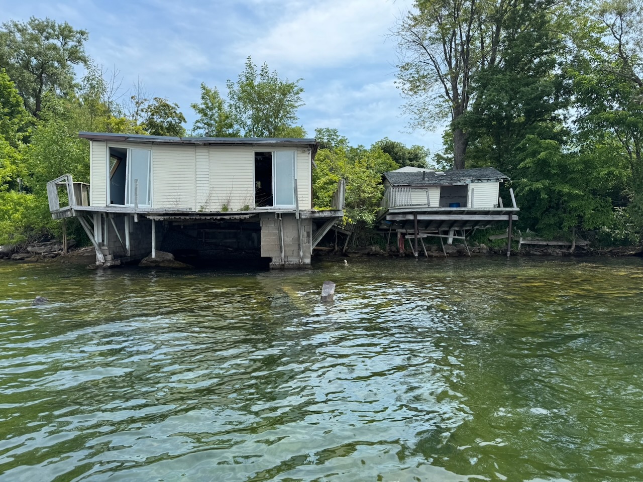
After this I happened upon two old boat houses slowly rotting into the ground/water. They are way too far gone to fix at this point, and one of them (the left) still seems to have furniture inside. They are surrounded by well-maintained homes though, so someone must still own them.
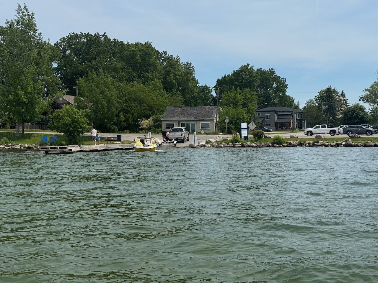
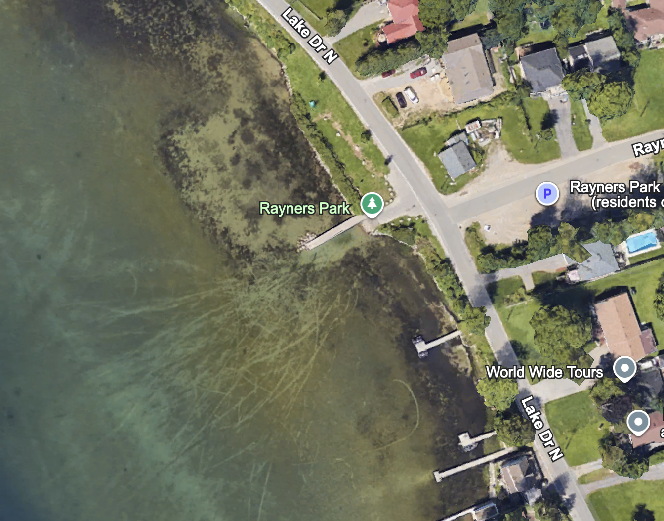
After the boat houses there is the sort of “main” Keswick boat launch. It’s called Rayners Park. I remember David Otten and I towing two broken down boats back here with my “15” (boat/motor) when we were kids and out fishing.
Up next I found a nice little float plane pulled up on someone’s “lawn”. It was in nice shape, but judging by the amount of junk around it, hasn’t flown in some time. Mental that people can afford to buy this stuff then let it rot.
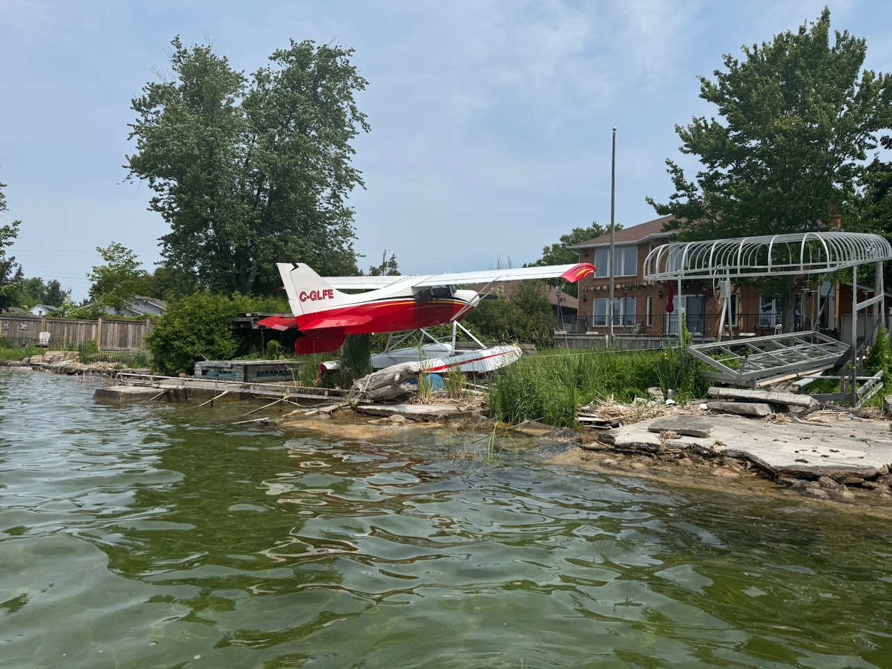
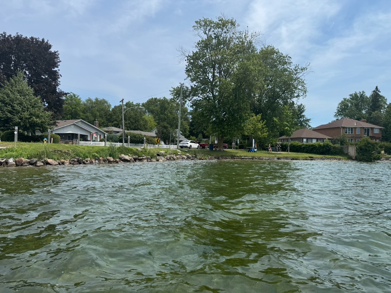
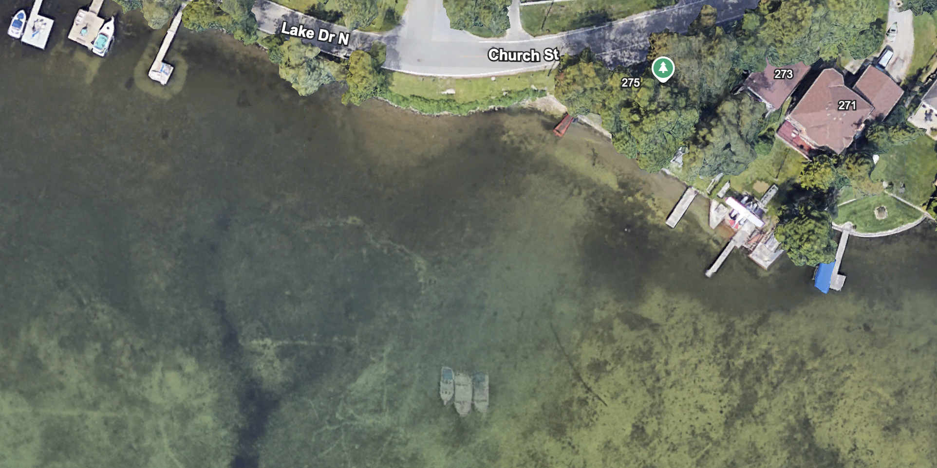
It’s at a house right next to “Joy Marrit Parkette” and amazingly is visible on Google Earth (you can see the plane center right). There’s quite a few interesting things here. If you look closely there seems to be a few sunken boats just offshore. I’ll have to come back again and see if I can spot them. Soon, as the water is uncommonly clear right now and probably won’t stay that way.
Post Script: About a week later I went back and was unable to see any sunken boats. I used Google Earth on my phone to ensure I was at the exact right spot, but there was nothing but sand and rocks.
After this I found a little waterway with a pedestrian bridge over it.
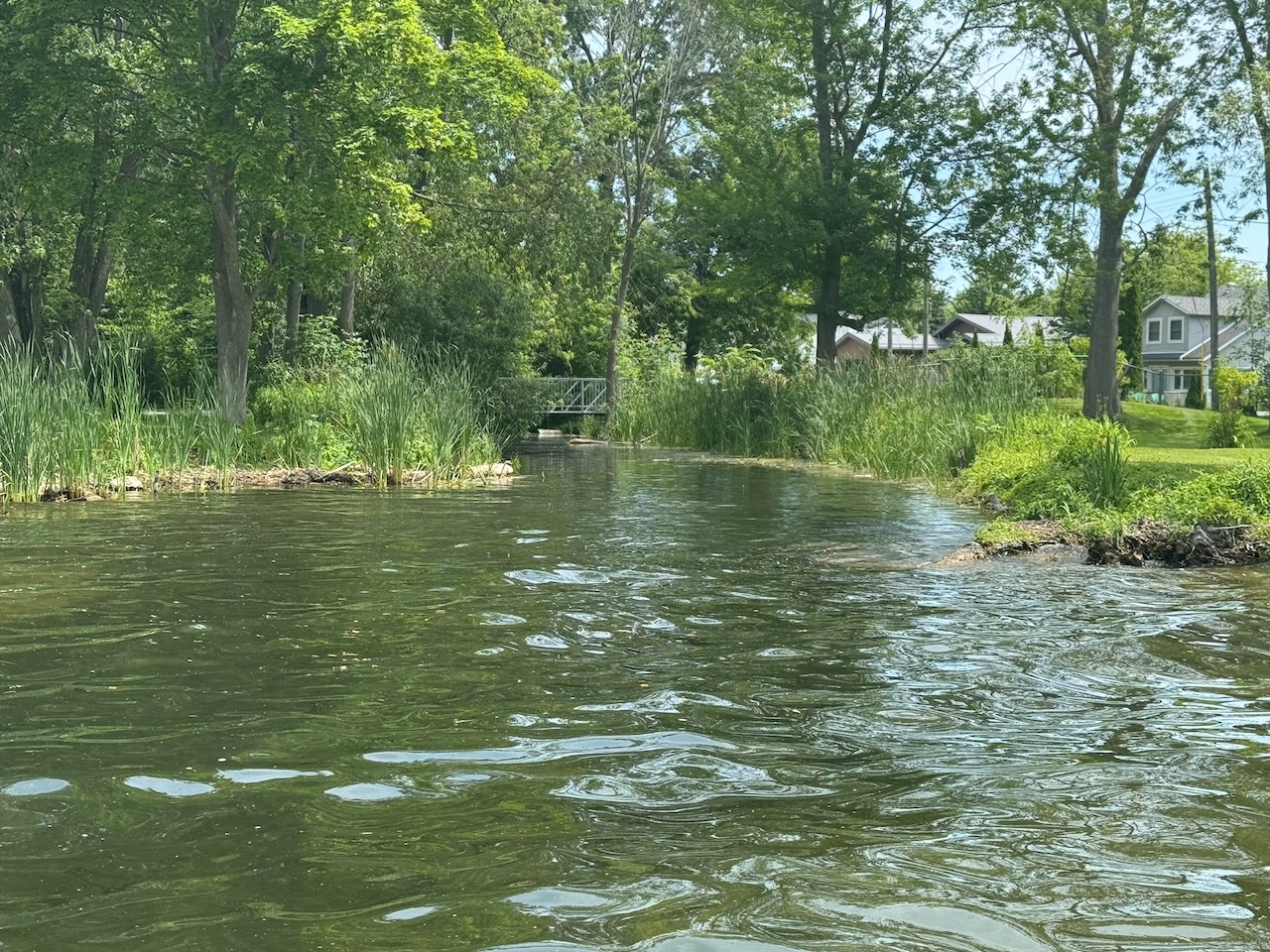
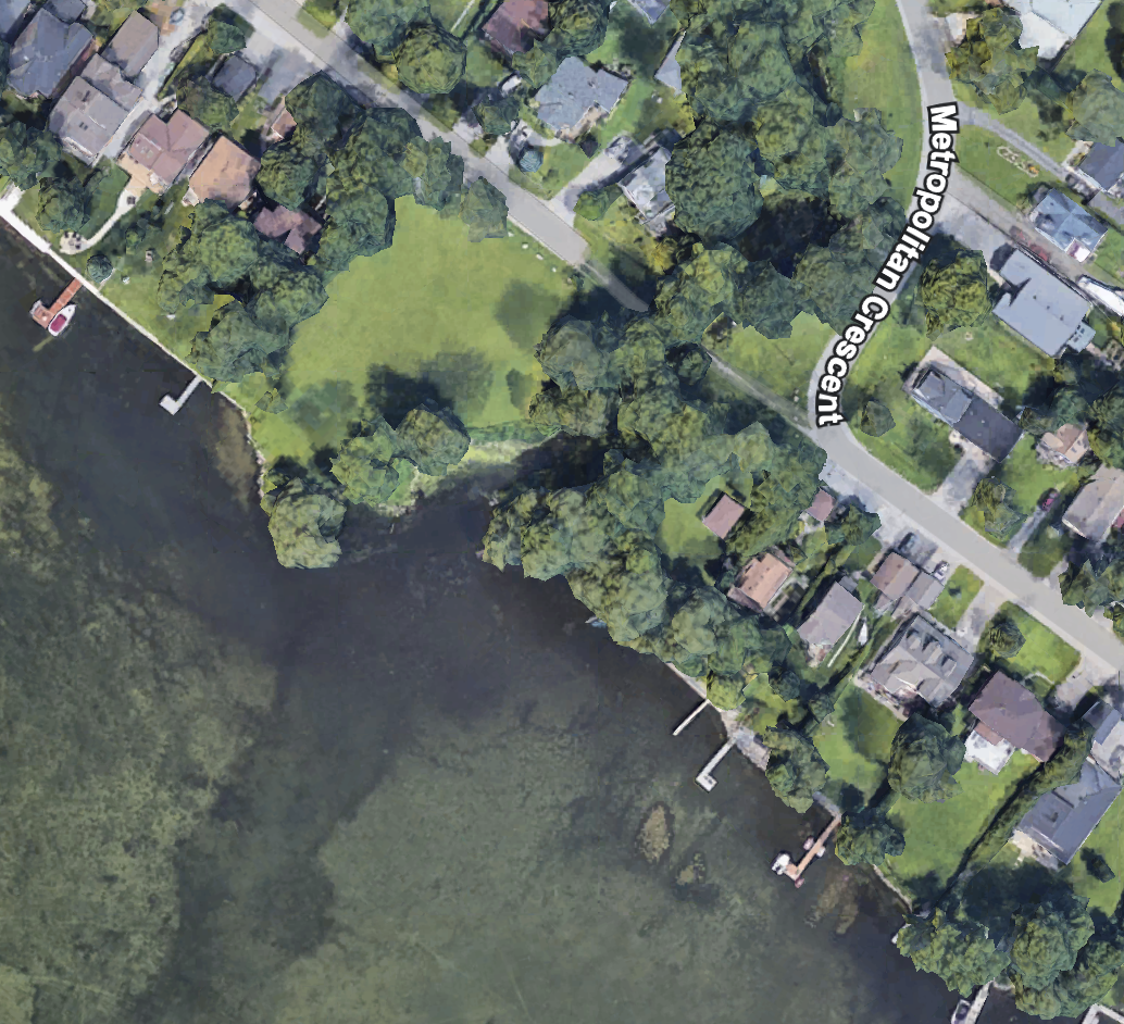
I can’t find out what this park is called, but it’s clearly visible on Google Earth.
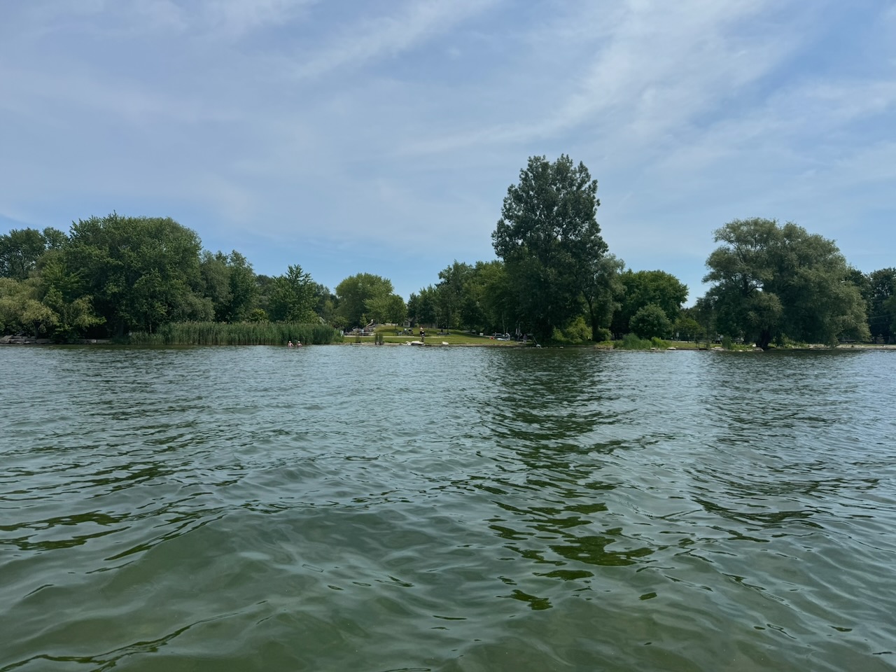
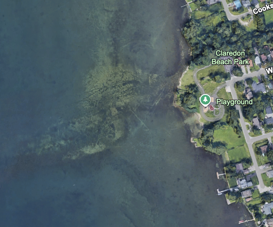
Up next is Claredon Beach Park. It’s nice that Keswick has tried to make the lakeshore publicly accessible. Of course, the lakeshore has the town of Keswick behind it (motto: “Our family trees have no branches.”) so you win some, you lose some.
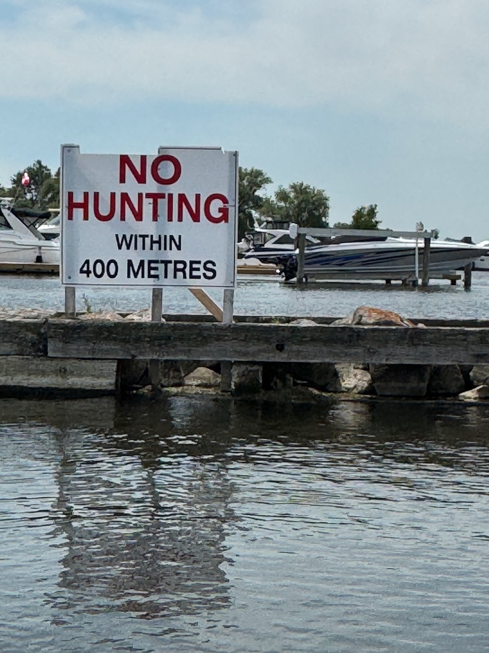
I’m sure everyone knows Krates Marina by now, as it’s hard to miss. There could be a whole separate article about this one, as it’s built on the outlet of a creek that is navigable by small boat for a surprising distance. I’ve done this many times before, so I skipped it this time. What I didn’t expect to see was a giant “No Hunting” sign on the breakwall leading into the marina. I haven’t the foggiest idea what anyone would be hunting here. Ducks perhaps? Any ducks you shot here would probably taste like gasoline, motor oil, and failure, which again makes the idea of hunting them puzzling.
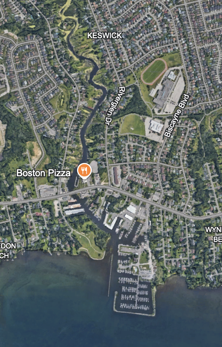
Past Krates things really get interesting, the water is very shallow, enough that most propeller driven boats would be at risk of striking the bottom. Especially near the end of the summer when the water is low. As such, I’ve not known anyone on the point to regularly come this far.
Unbelievably there is a whole other marina down here. Called C.W. Marine & Powersports. I’ve never been in there before. They have a huge floating dock out front where they rent jet-skis. Last summer I think they had one of those floating bouncy castle type things.
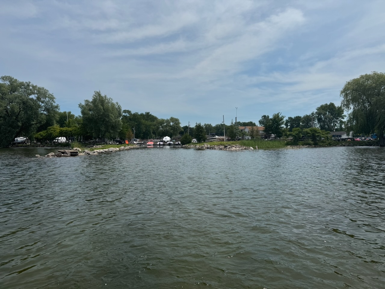
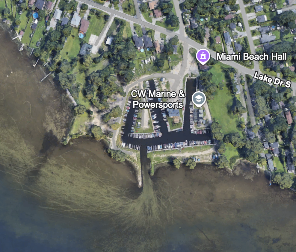
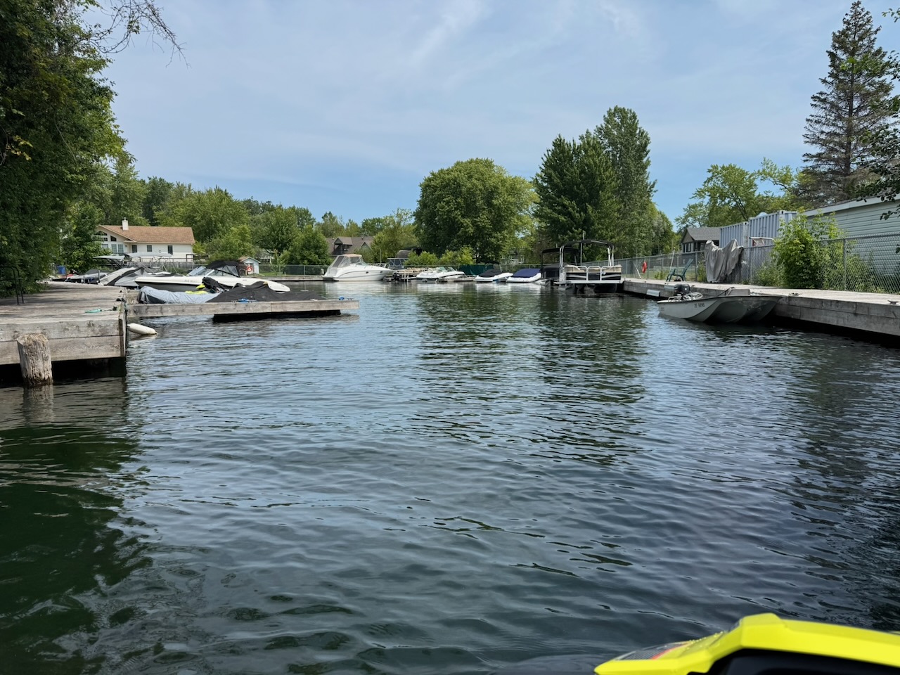
Now, as many of you know, my family on my father’s side hails from the Netherlands. Its greatest city, Amsterdam, is a city of canals that was built on top of a swamp. However, building canals on a swamp does not neccesarily mean you end up with Amsterdam. Instead you end up with… this?
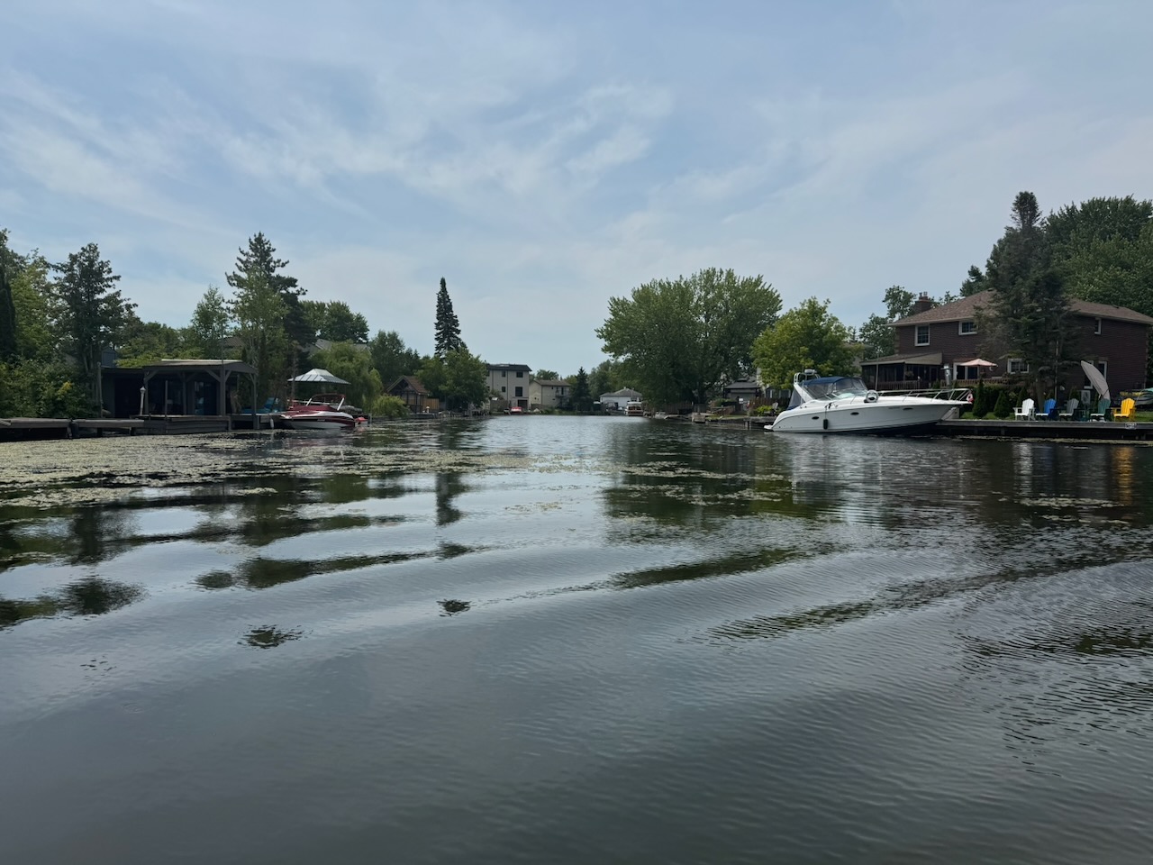
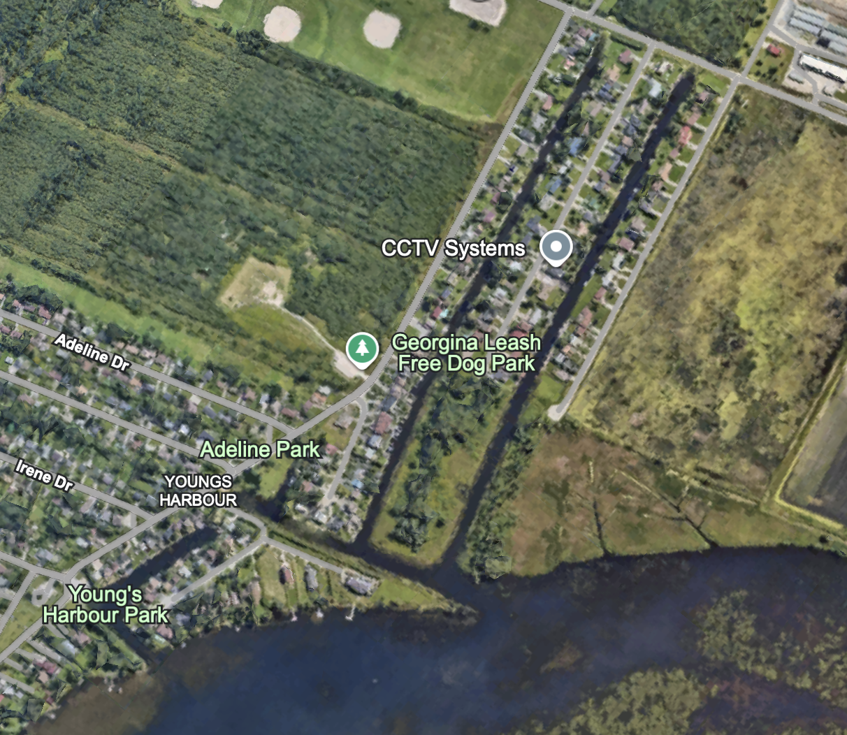
Yes, there is a small canal “system” right here at the end of lake with houses on both sides. If you’ve never seen it before, you will experience a level of shock and awe similar to the second gulf war. Some of it is… fine, some of it is… decaying. I think most people reading this will be surprised it exists at all. You can enter it just past the “last house” before the shoreline turns into proper swamp then farmers fields. Incidentally this house is quite nice, I wonder who built it here, and why.
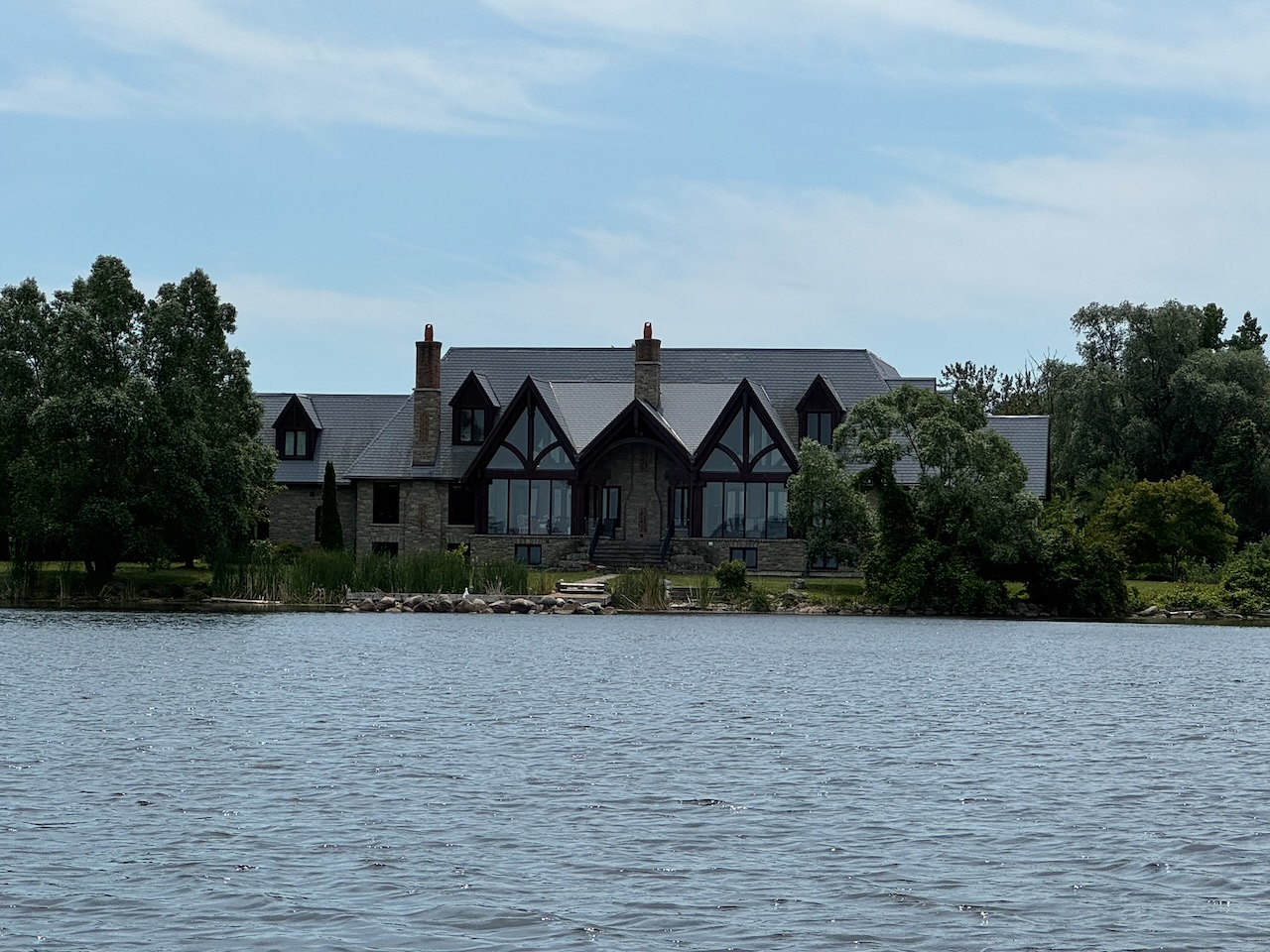
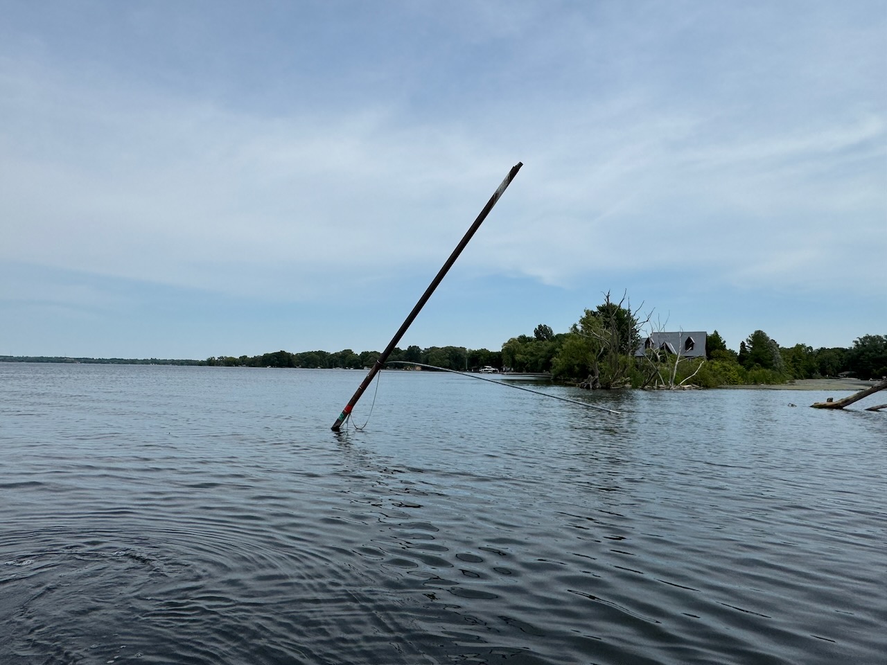
From the water side the only evidence it exists is a bent metal pole with some navigation markers on it, which may also have once held a flag.
So that’s it. After that there’s nothing until you hit the Holland River and then start coming back.
The Holland River… I wonder what’s really at the bottom of that?
Here is the link to the Google Earth project that has all the POIs.
 Ted's Blog