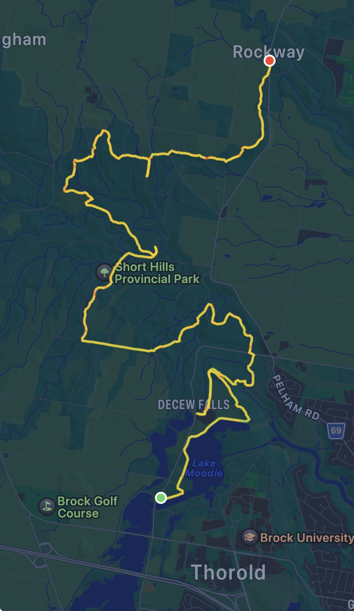
Another early start on this one, out of the house by 5:30AM. It really does make such a difference, I’m able to get in almost 20k and still be home for lunch. This time I packed sunscreen, a date square, and some trail mix, as well as the usual water and bug spray.
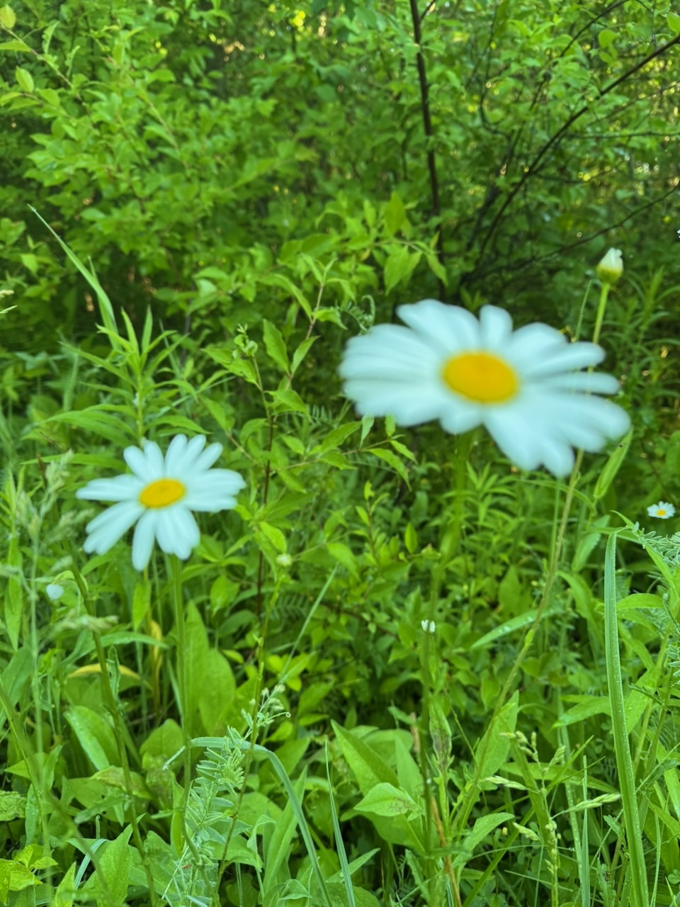
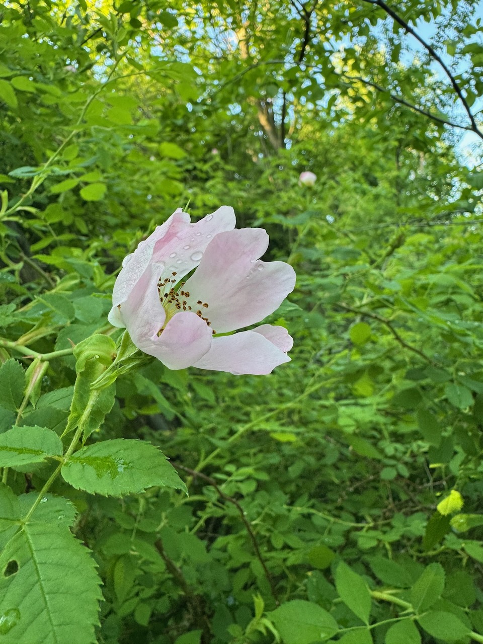
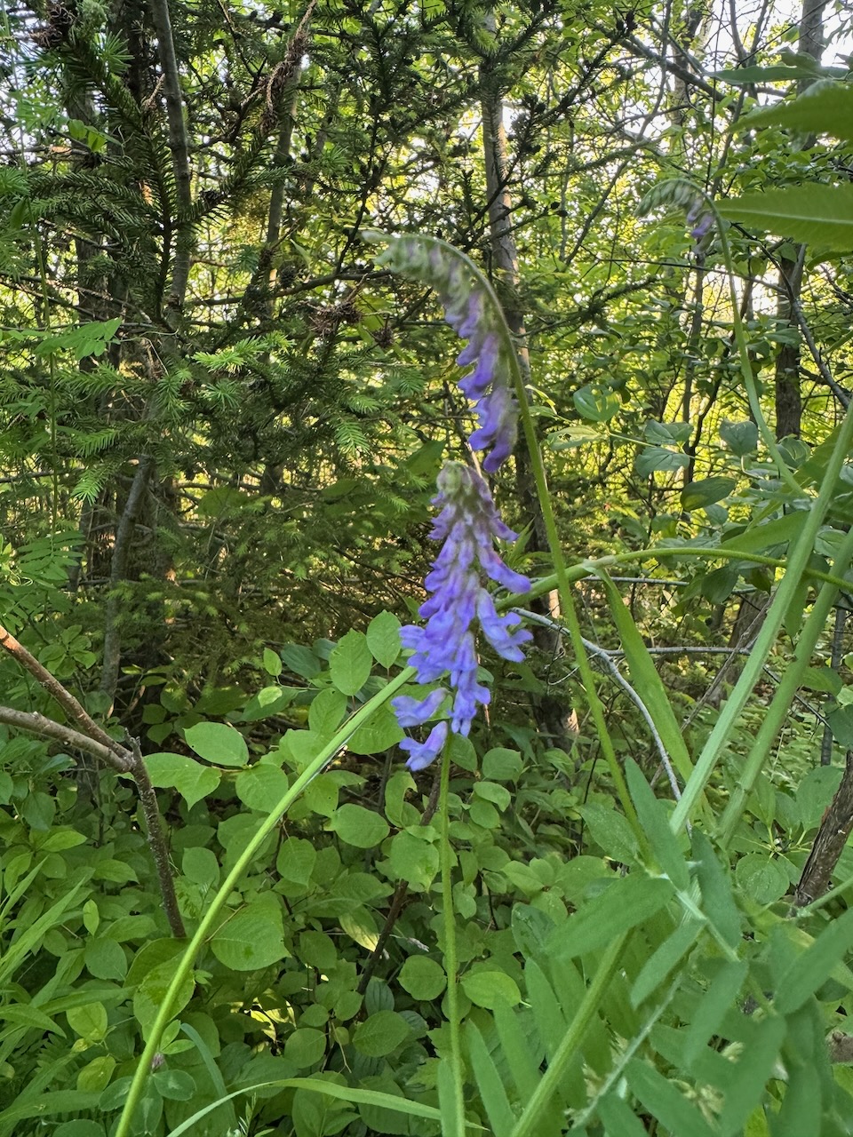
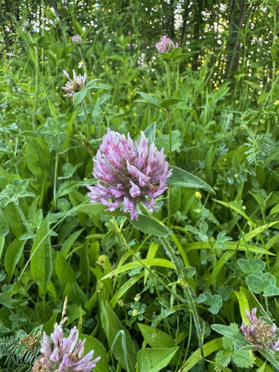
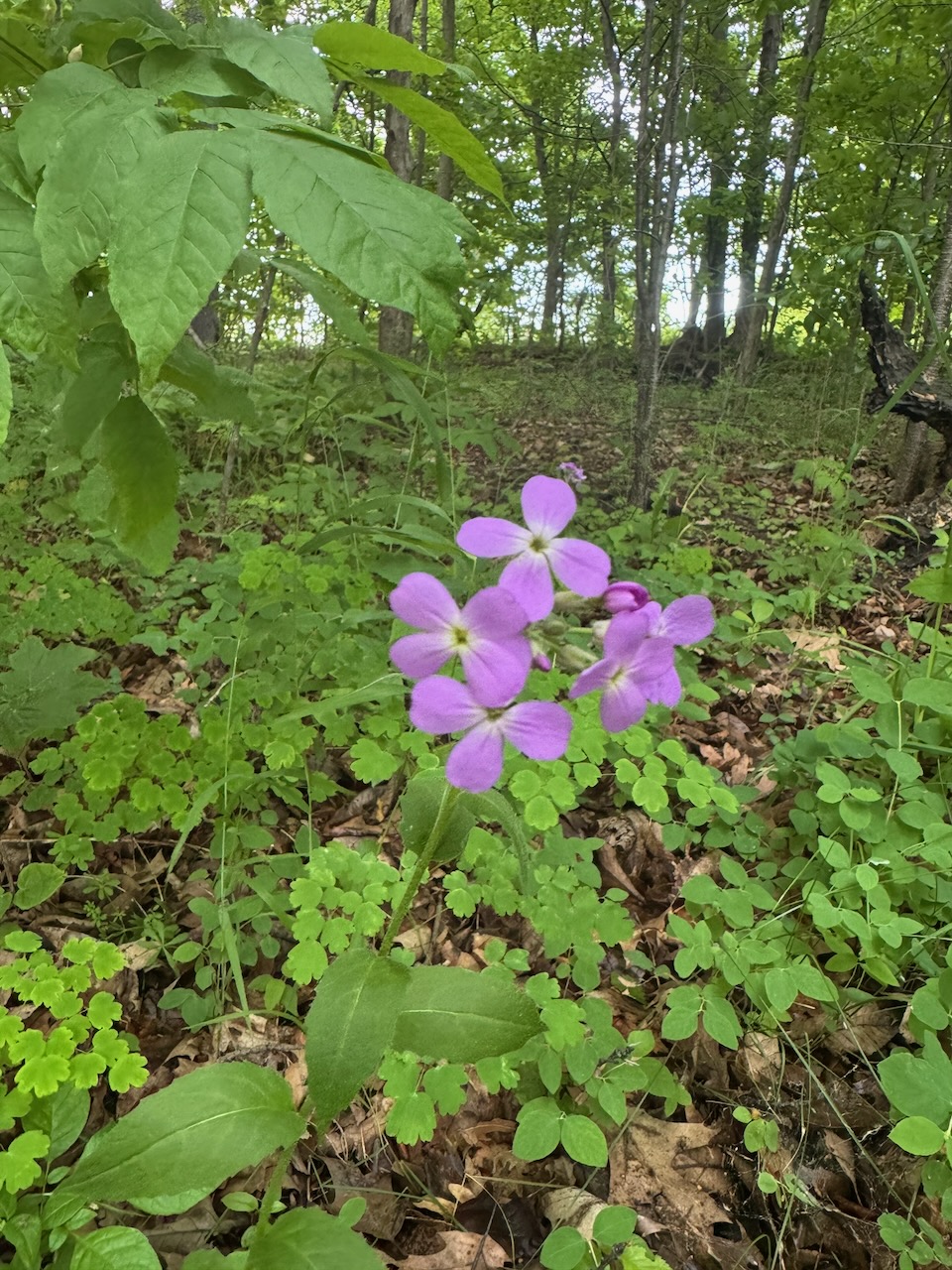
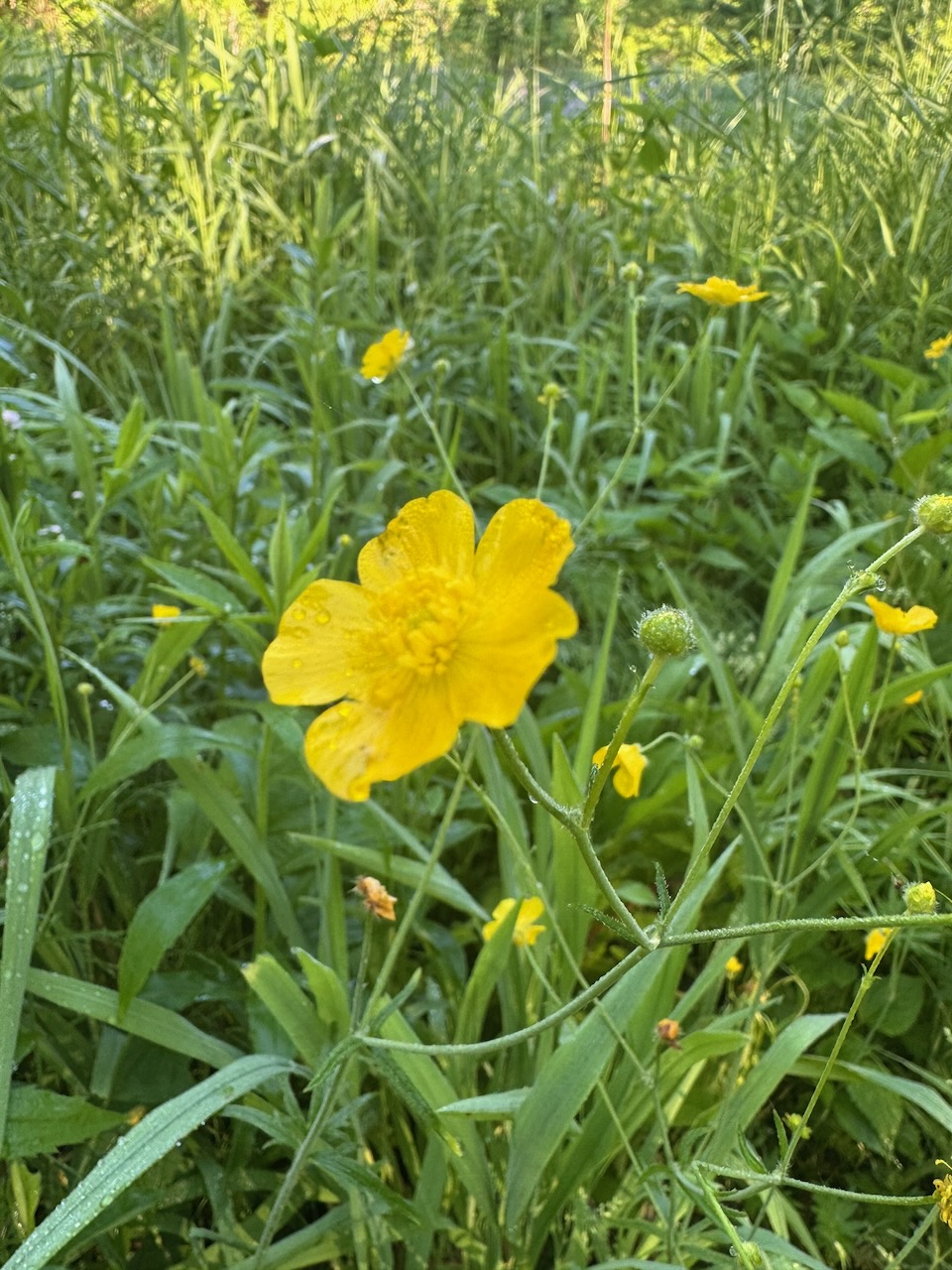
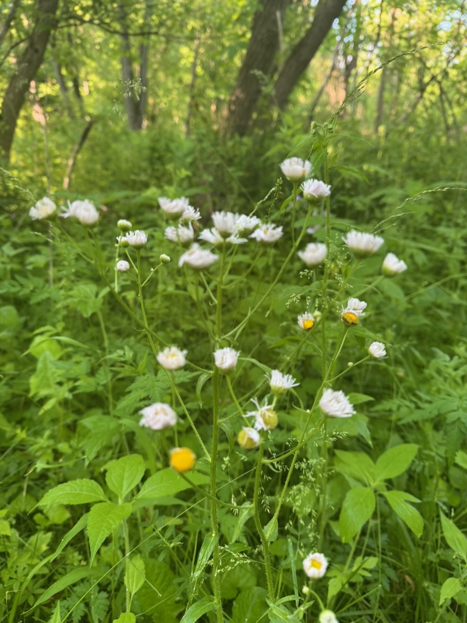
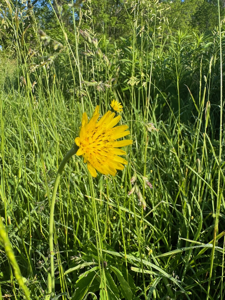
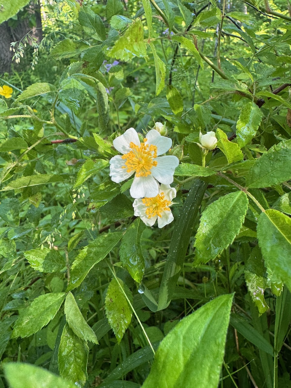
The main thing I noticed on this trip were the wildflowers. I saw the following kinds:
- Wild Rose
- Oxeye Daisy
- Bird vetch (invasive species from Asia)
- Red Clover
- Dame’s Violet
- Meadow Buttercup
- Meadow Salsify
- Strawberry?
- Green & Silver Lotus
Apologies that some of the pictures are blurry, I need more experience working with the iPhone’s macro mode.
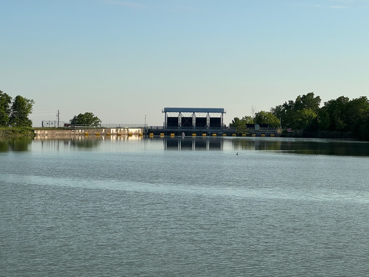
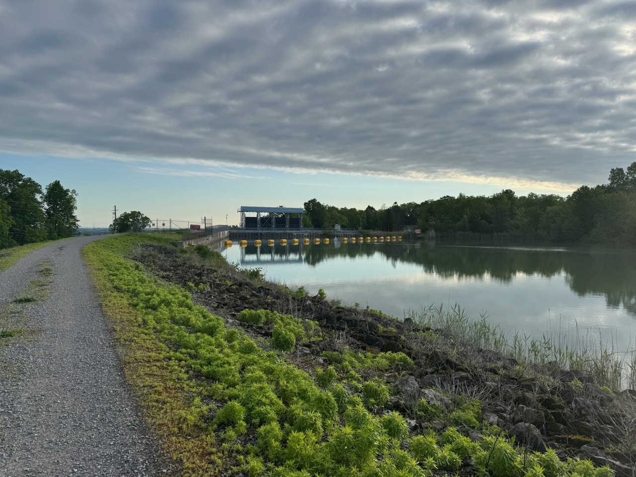
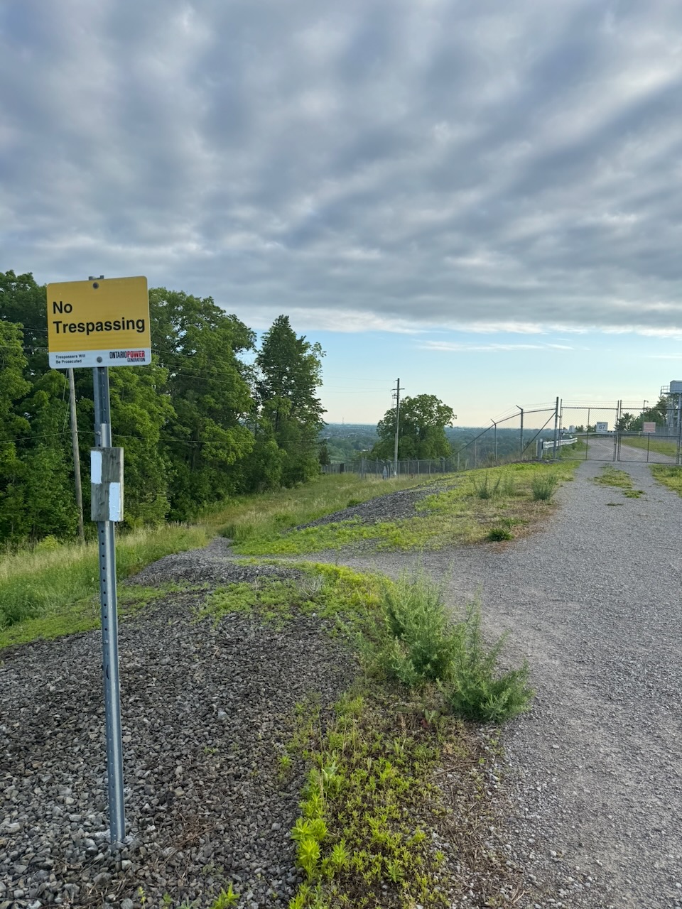
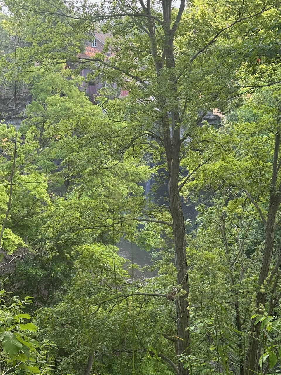
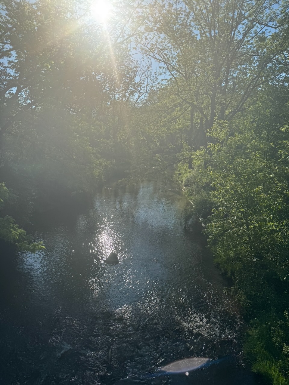
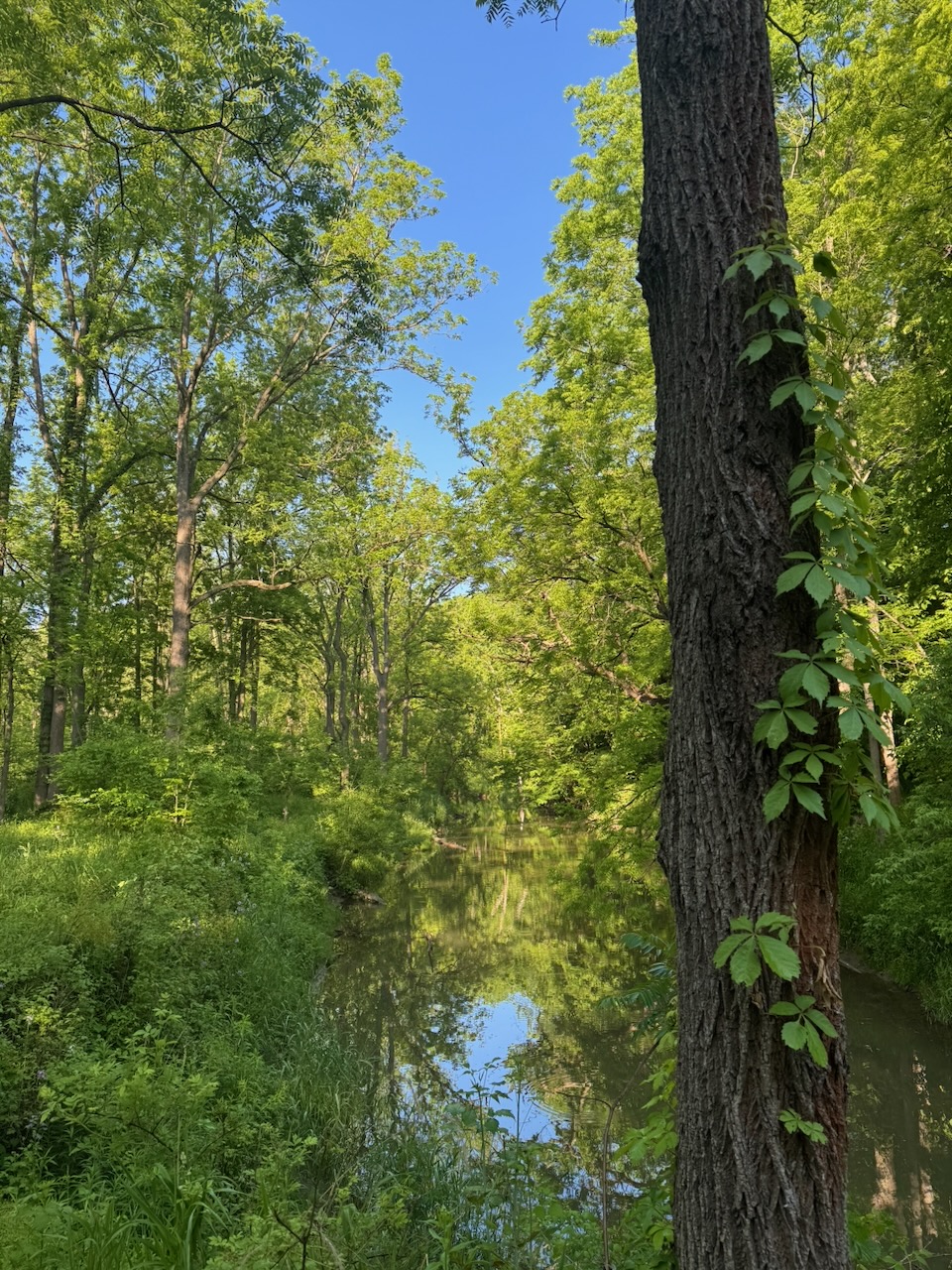
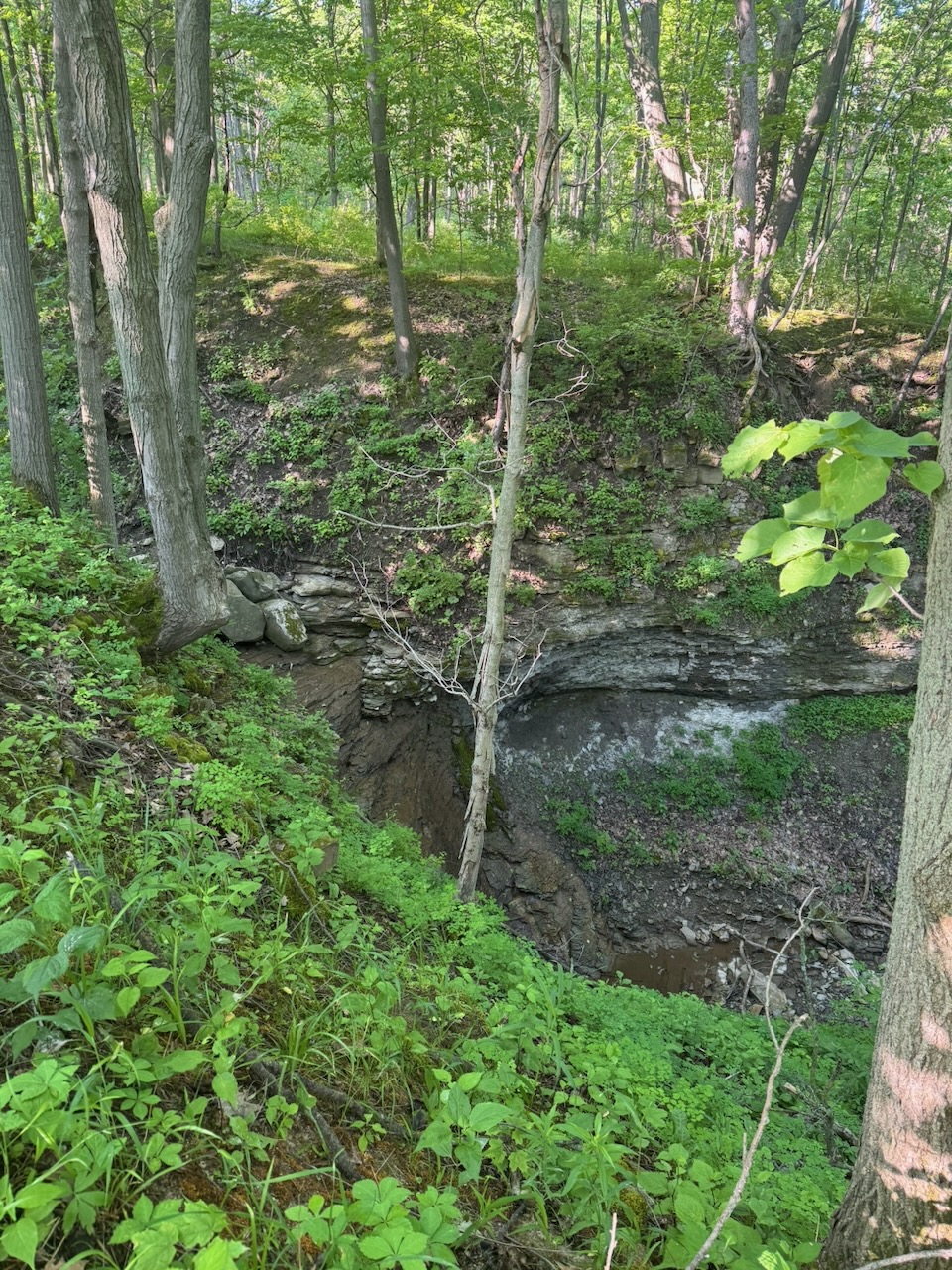
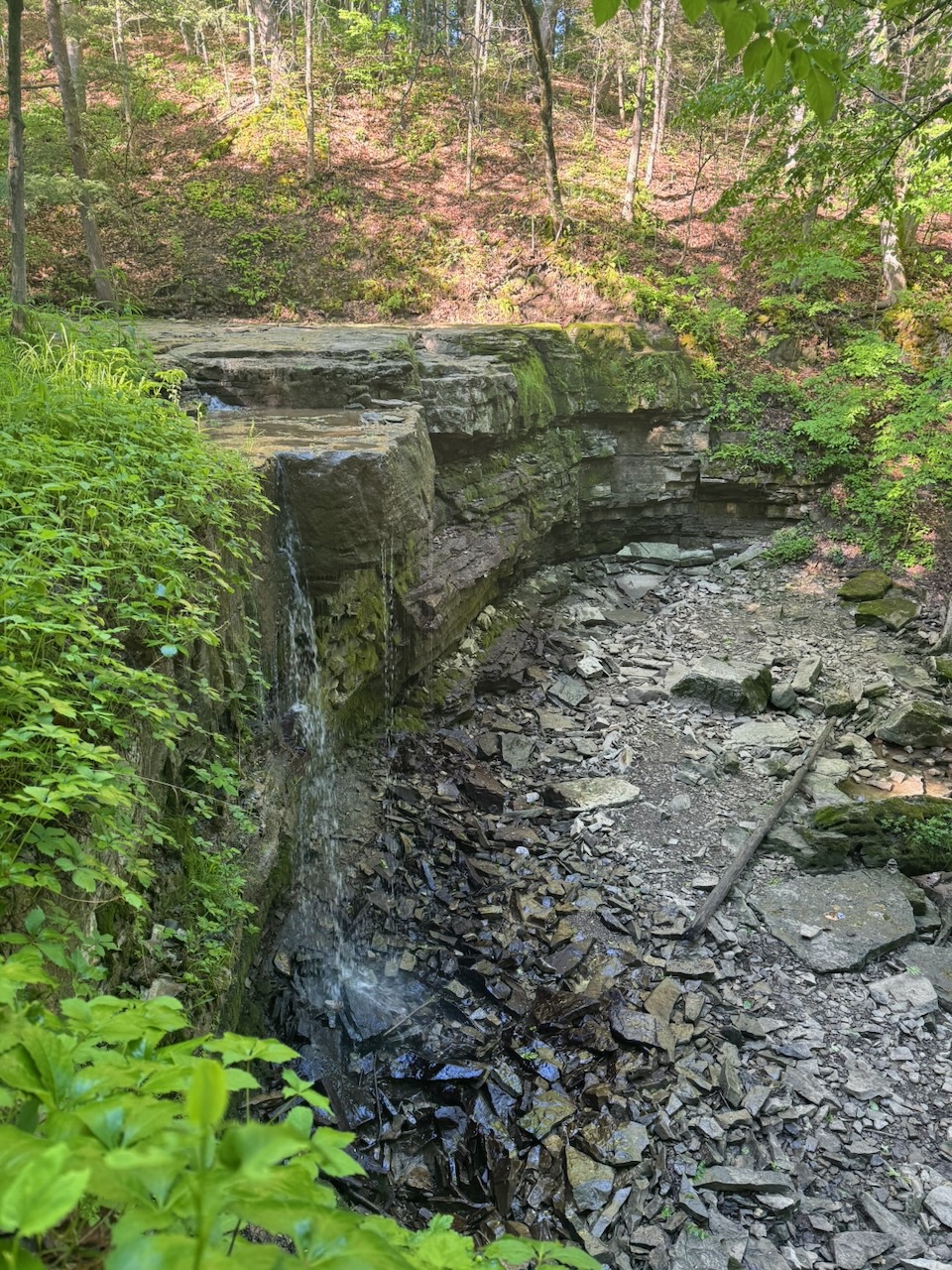
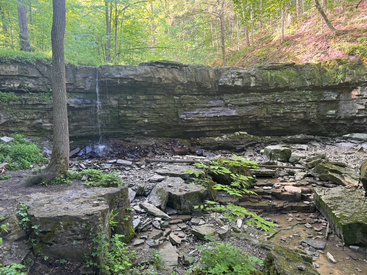
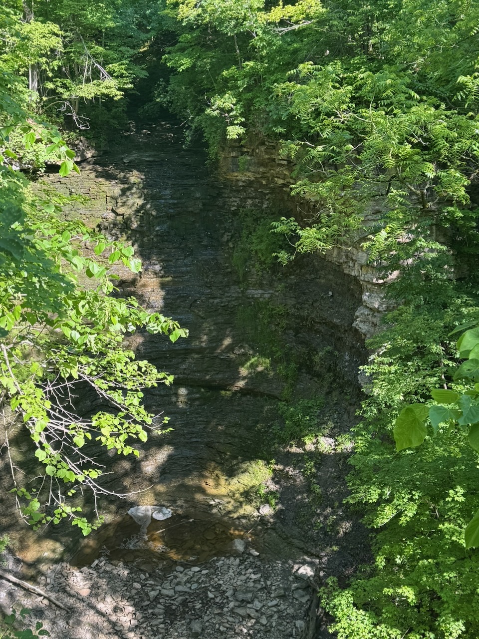
Near the beginning of the trip was another large dam, DeCew Generating Station, which looked suitably ominous from afar with the big water gates. There were a few waterfalls on this trip, the biggest being DeCew Falls, which turned out to be a big disappointment. The whole area around the falls is fenced off, the only picture I could get is a tiny bit of it through a bunch of trees. Then a few other ones here and there that I don’t know the names of, if indeed they have a name.
Now the problem with starting at 5:30 in the morning is that your body isn’t used to “evacuating” that early. So by the time 7:30AM rolls around you’re on the trail and could really use a pit stop (number two in case that isn’t clear). Since I try to live by the old “take only pictures, leave only footprints” maxim, I wouldn’t be comfortable adding to the number of logs on the forest floor. Luckily about half way through the hike I stumbled on a “restroom” which is basically a shack with a hole in the ground and a toilet seat. I had a moment of panic after unberdening myself when I realized I didn’t first check to see if there was any toilet paper. Thankfully there was some of that awful single ply stuff you find in restrooms. I still maintain it’s counter productive as you end up using so much to avoid “punch-through” that regular two ply would have resulted in less waste.
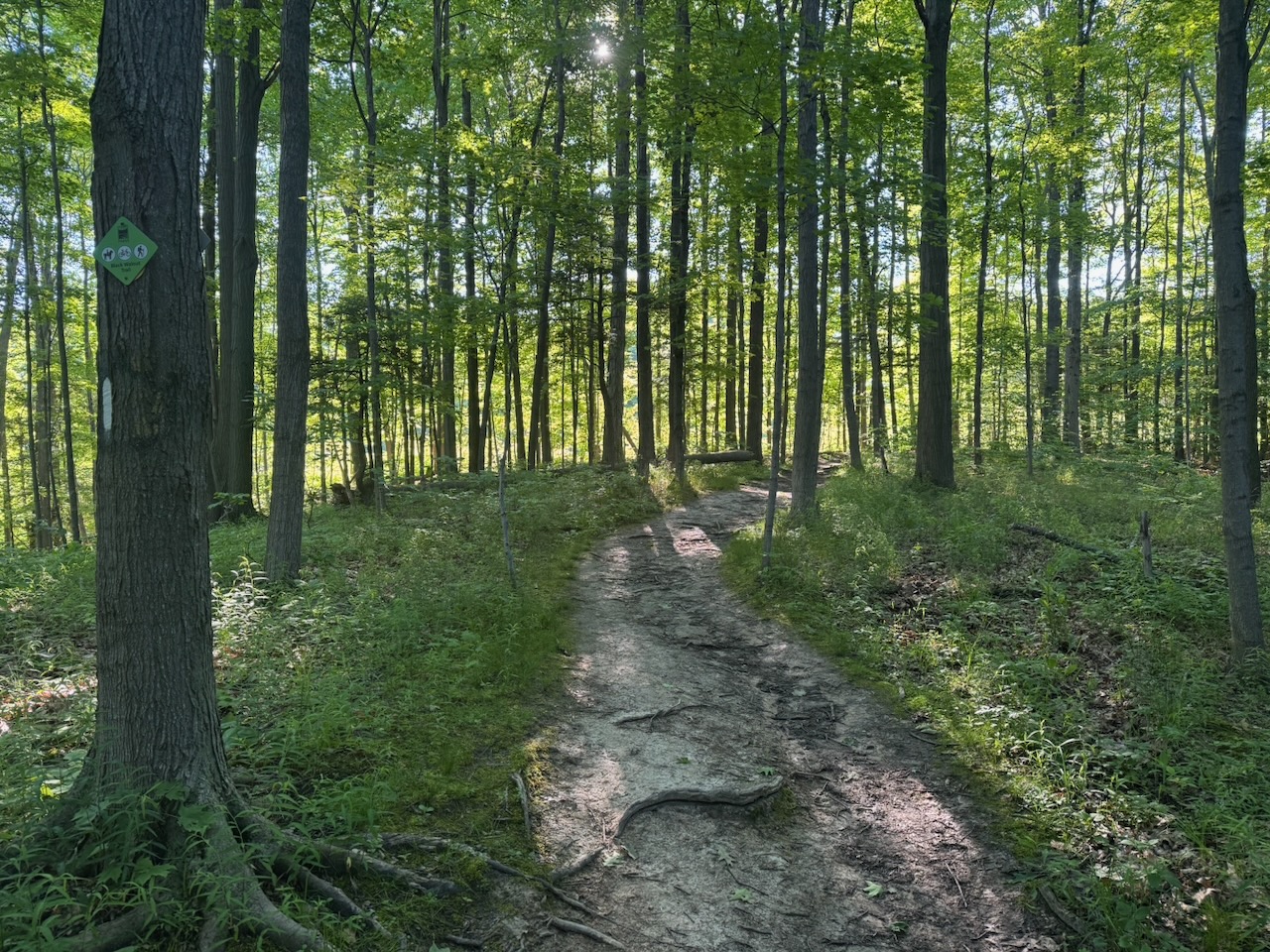
I ended up walking in the wrong direction a few times on this trip. Much of the Bruce Trail goes through existing parks and conservation areas so there are often lots of other trails that cross it. This makes it easy to miss a marker and end up walking a few hundred meters on the wrong trail. I’m using the official Bruce Trail app to find my way, it’s really good and has the ability to plan hikes, track progress, and have offline maps. This is way more useful than you’d think as, especially in the more northern sections, there is no cellular service. Speaking of, what I’ve been doing so far is checking the Uber app once or twice on the hike to make sure that there will be a car that can take me back to where I started. At one point on this hike I did indeed run out of bars, luckily there was plenty of signal where I ended up. Still, it’s only a matter of time before the drive->hike->Uber->drive method fails somehow.
Looks like maybe two more trips and I can finish the Niagara section of the trail.
Notes for next time:
- Consider packing some bog roll (toilet paper). Just a bit, in case you find a restroom that is not well stocked.
- Related to the above, hand sanitizer. I didn’t have any and had to eat my trail mix “horse style” by shoving my face in the bag.
- I packed sunscreen but forgot to use it. Amazingly even though I was doing this in the early morning and much of it under forest canopy I still got a bit red.
Only 839km to go!
 Ted's Blog