Up by 5AM and this time my body was ready for it, so no need to pack the bog roll. I applied my sunscreen and insect repellant before leaving the house, which was good because it was a beautiful sunny day.
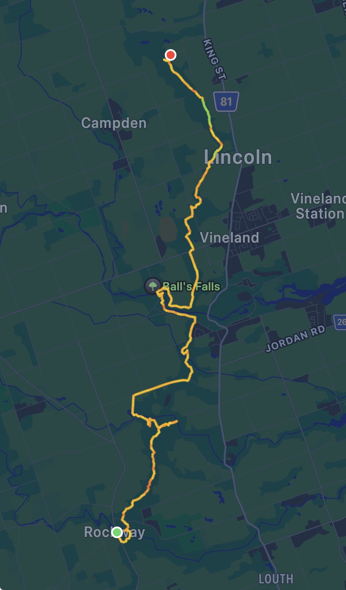
Start: Rockway Conservation Area
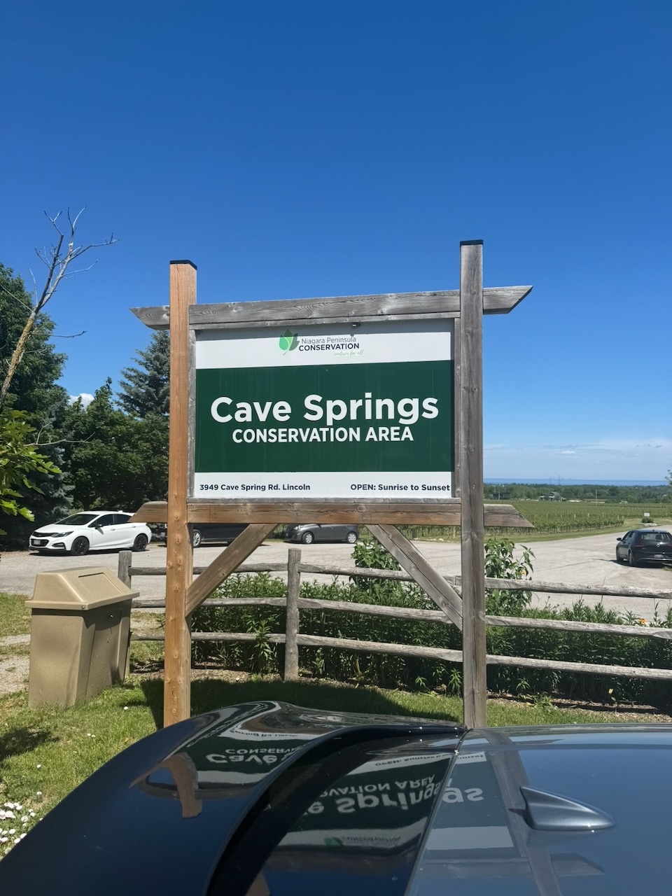
End: Cave Springs Conservation Area
Distance: 21.3km
Weather: 27C and sunny
The highlight of the day happened within the first minute. As I was walking away from the car I spotted out of the corner of my eye what looked like a deer crossing the street. Upon closer inspection it turned out to be a fully grown, bushy tailed, male eastern coyote! Unfortunately it ran off before I could get a picture. I had no idea they grew that large, happening upon one in the woods would be pretty frightening for the timid. I doubt they would threaten or attack anything other than a small child though. Take note small children: If you are hiking the Bruce Trail alone carry a semi-automatic rifle!
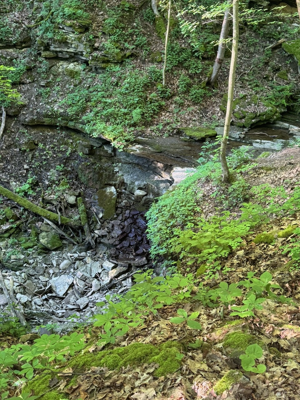
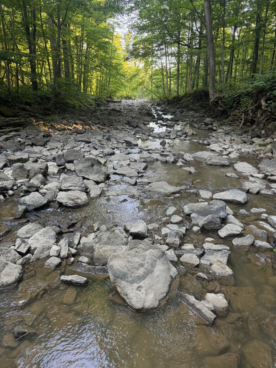
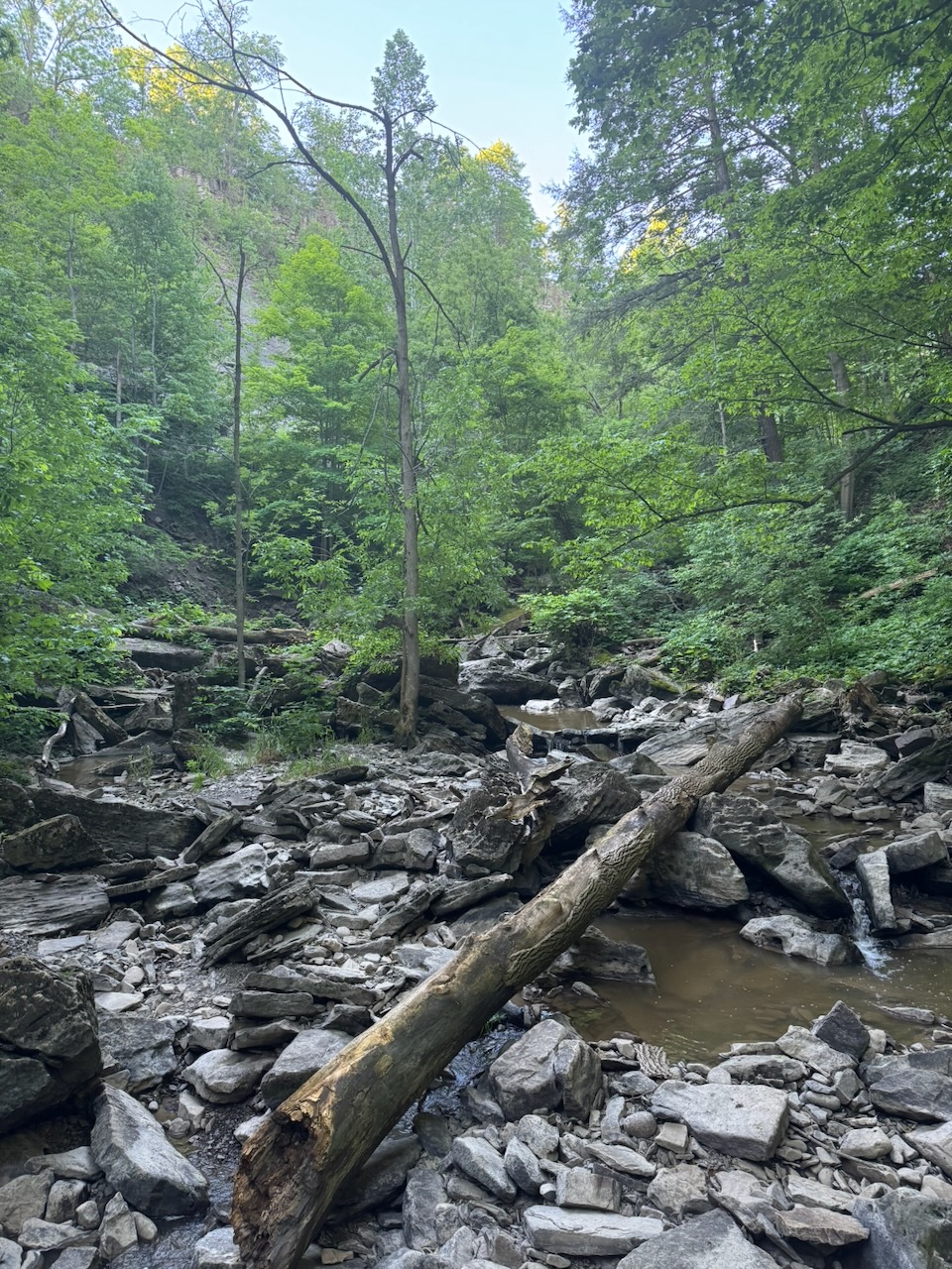
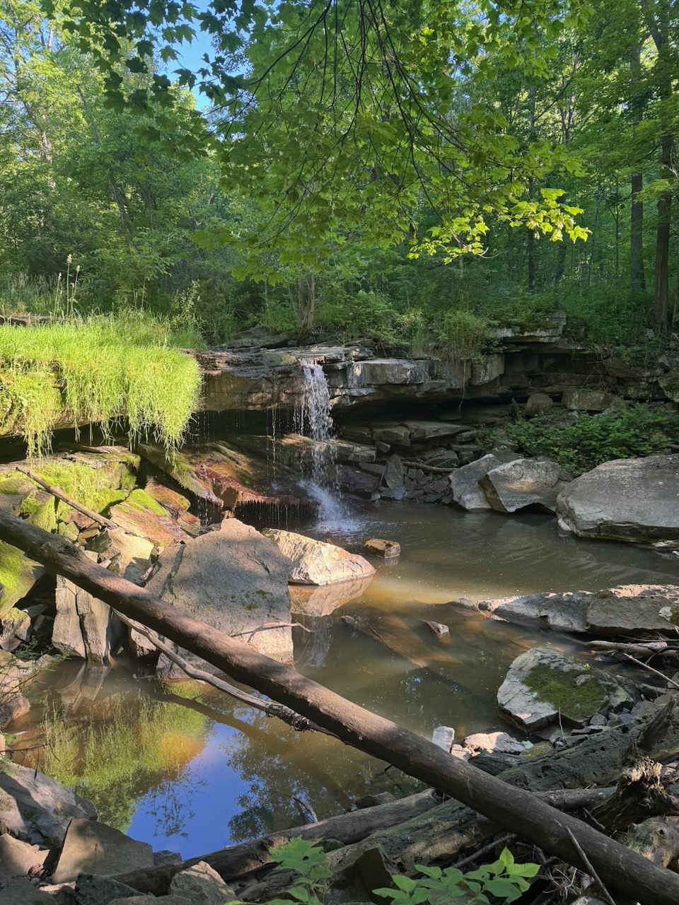
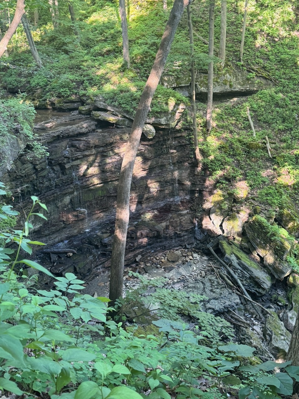
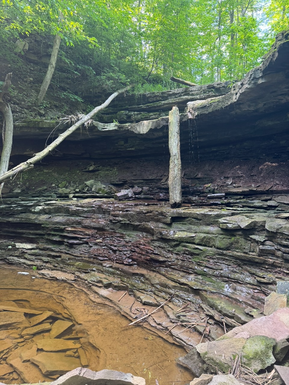
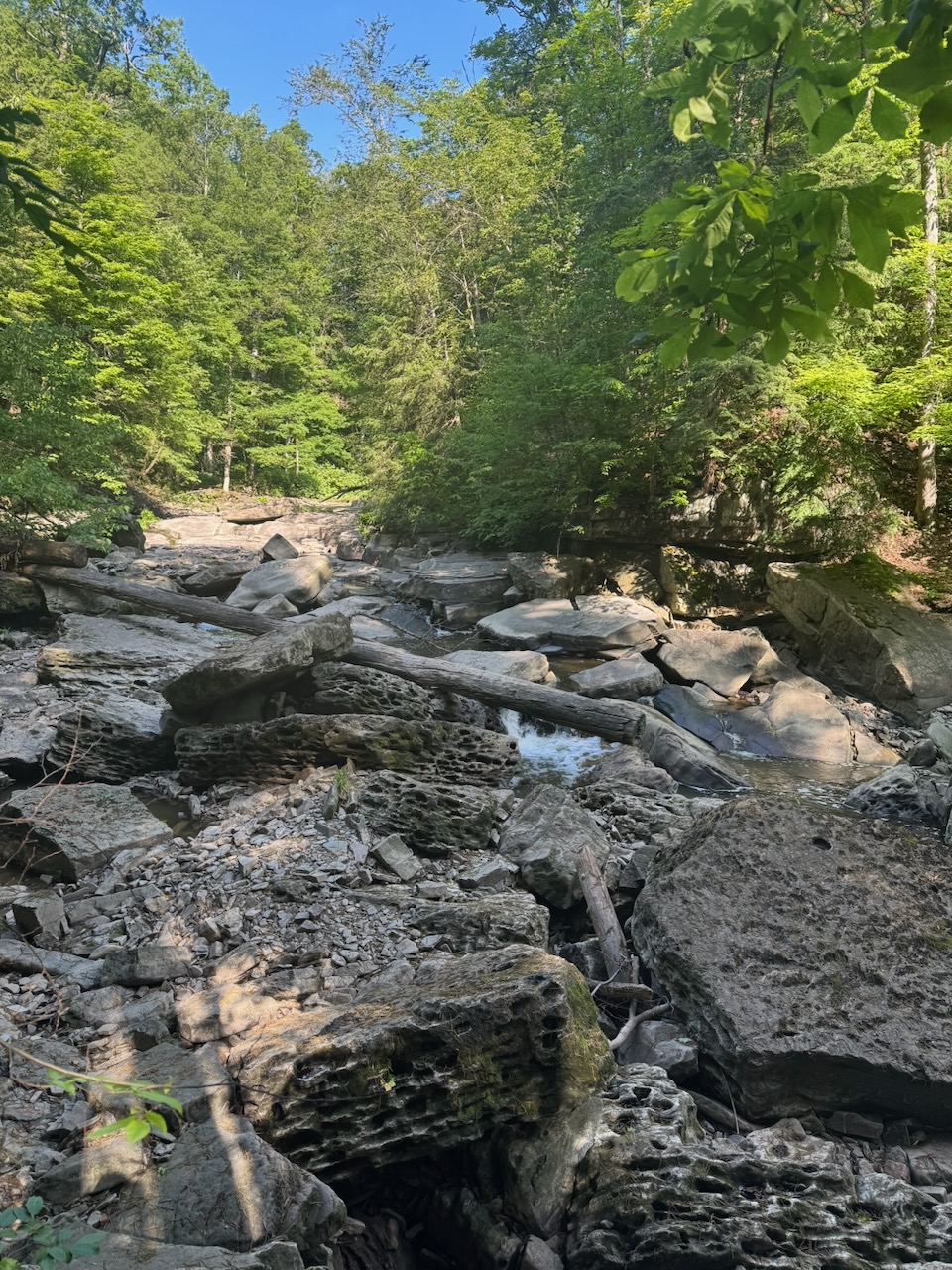
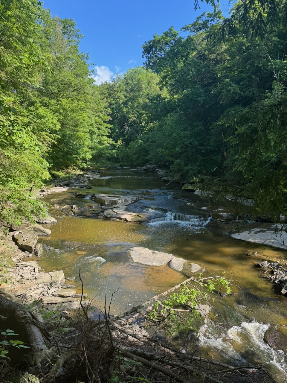
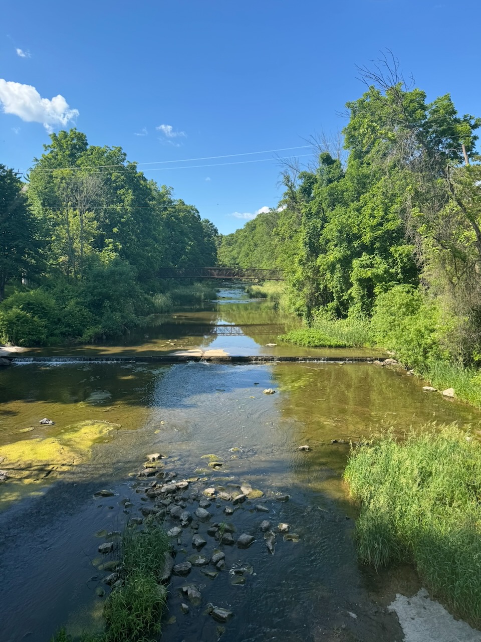
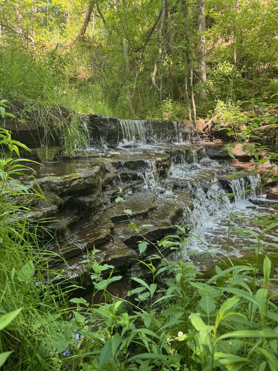
Lots of small waterfalls on this one, as the route passed over Sixteen, Eighteen, and Twenty Mile Creek(s), along with a bunch of other ones that seem to be unnamed. Many of the features on the peninsula are named after their distance (in miles obv.) from the mouth of the Niagara river where it flows into Lake Ontario. I appreciate that this is because when these things were named, the main method of transport/trade was probably by boat up and down the coastline of the lake. The building of the QEW (Queen Elizabeth Way, the main highway through the area) first requiring the birth of Queen Elizabeth II, which was at least 150 years away. However, I still feel like they could have gone with something more original.
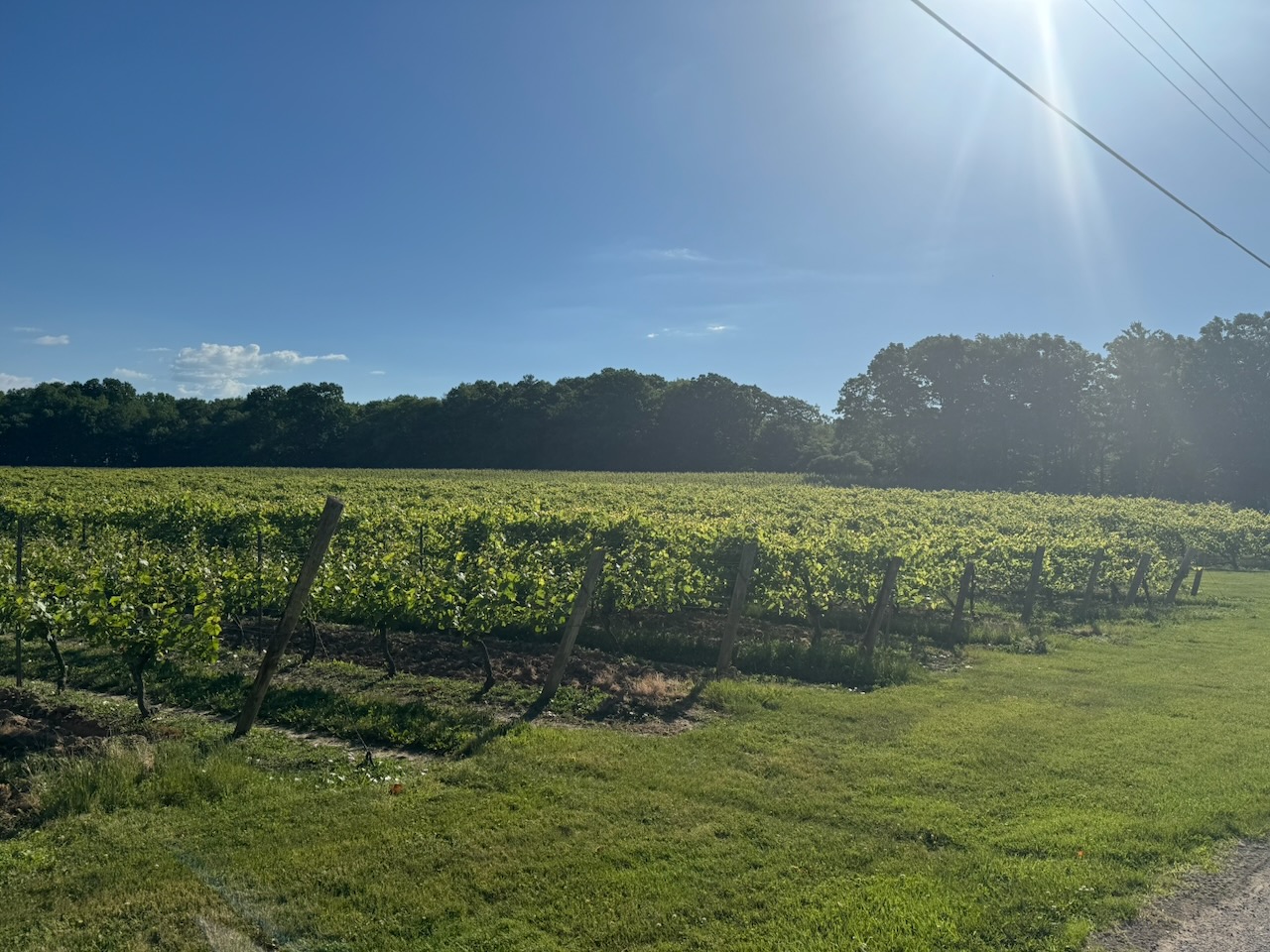
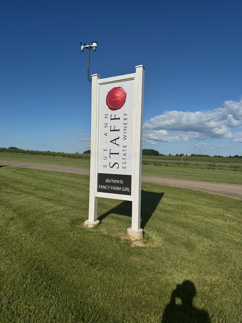
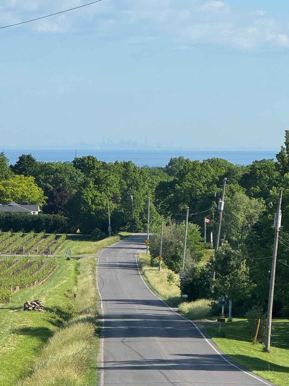
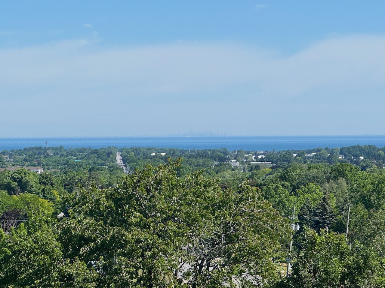
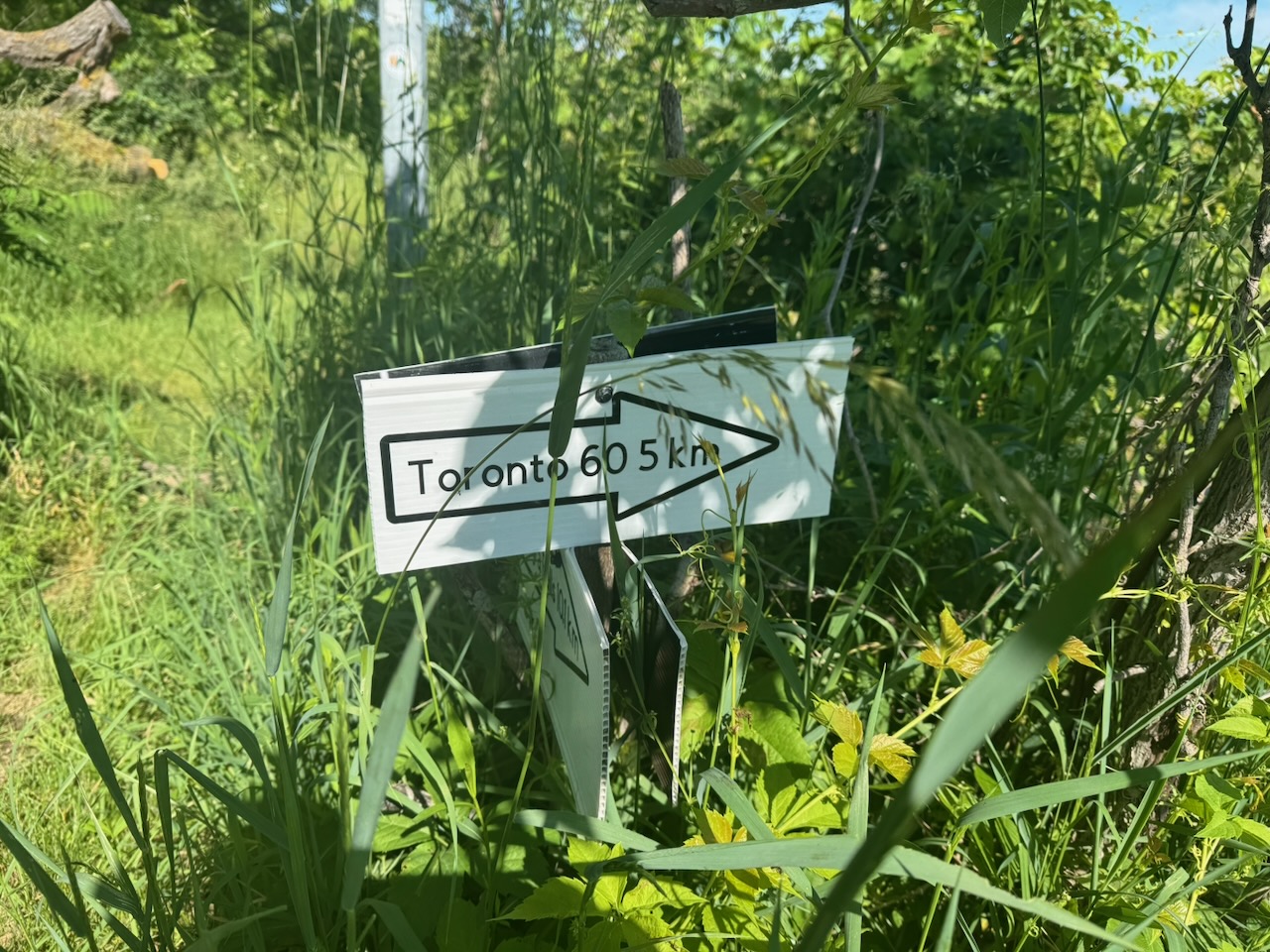
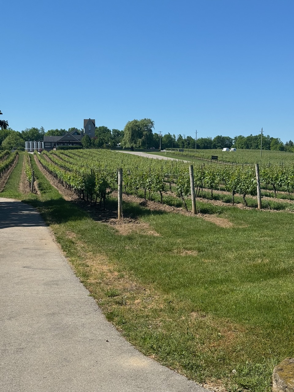
After a short hike through the bush I was spit out onto surface roads, many of which go right by some of the area wineries. Regrettably, most tasting rooms don’t open until 11AM. To anyone wondering if I would actually taste/purchase wine while hiking the trail the answer is obvious. Of course I bloody would have. While walking down 17th street I noticed that you could see directly across the lake towards Toronto, and the day was clear enough to see the skyline. It’s difficult to get a picture of how it looks in real life, but it was quite striking. Here I encountered two other hikers, two Polish ladies whose names escape me. They were also trying to hike from bottom to top. They were shocked that I was only on my fourth day, while they are over a year in.
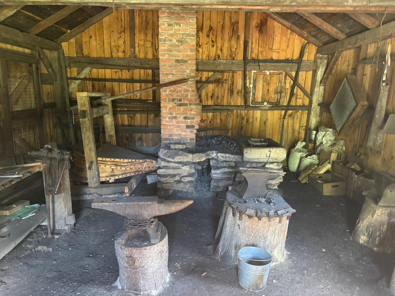
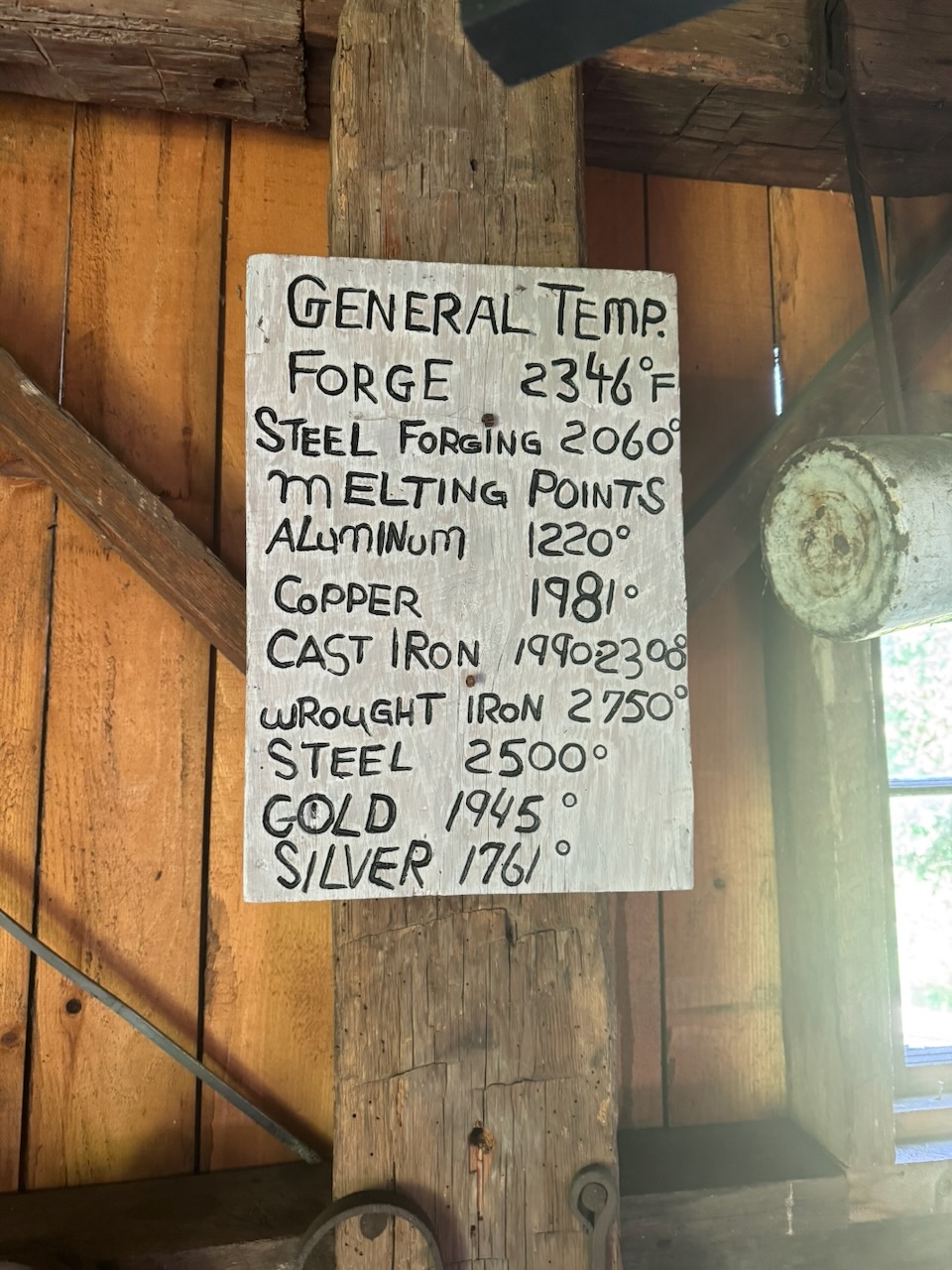
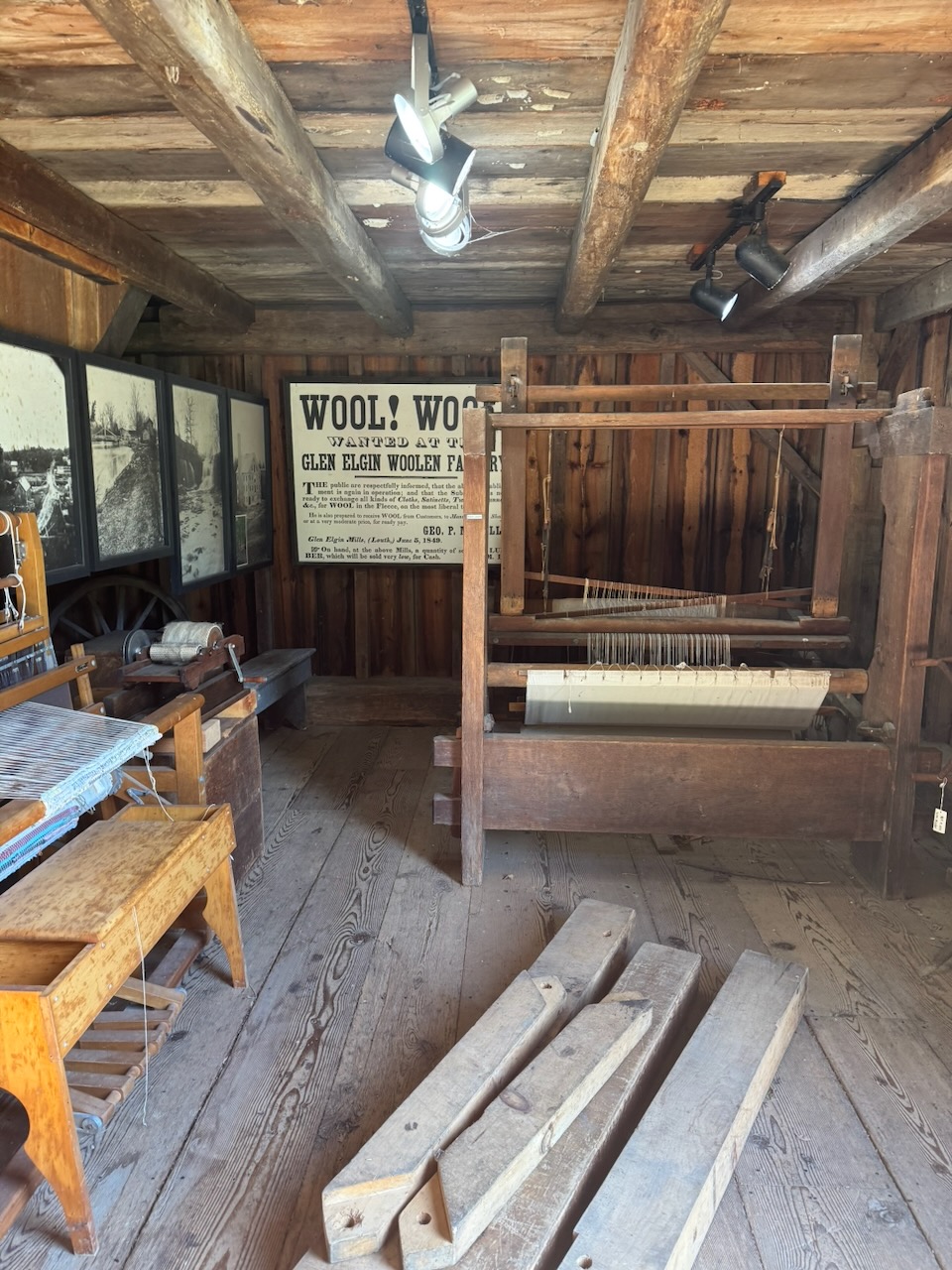
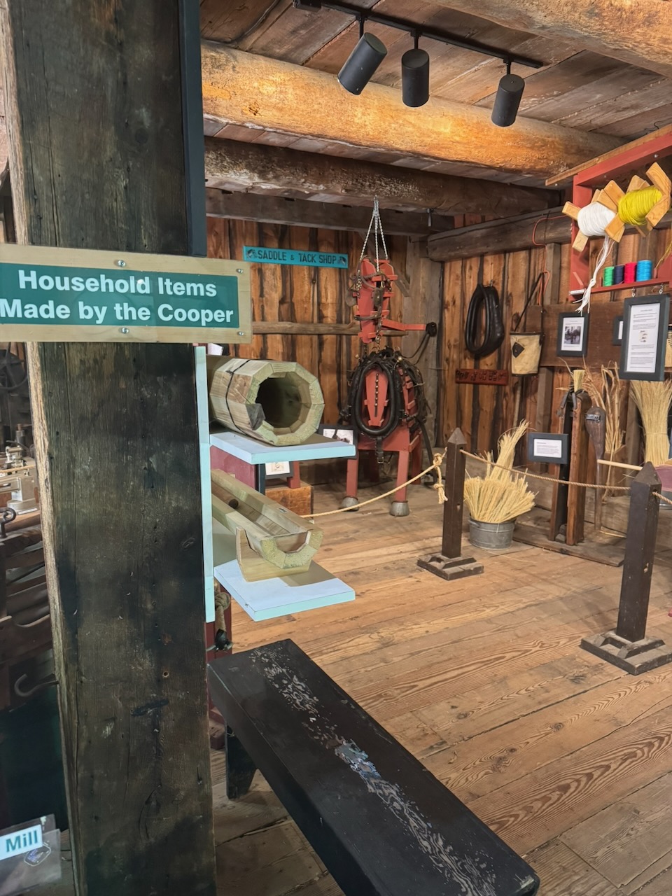
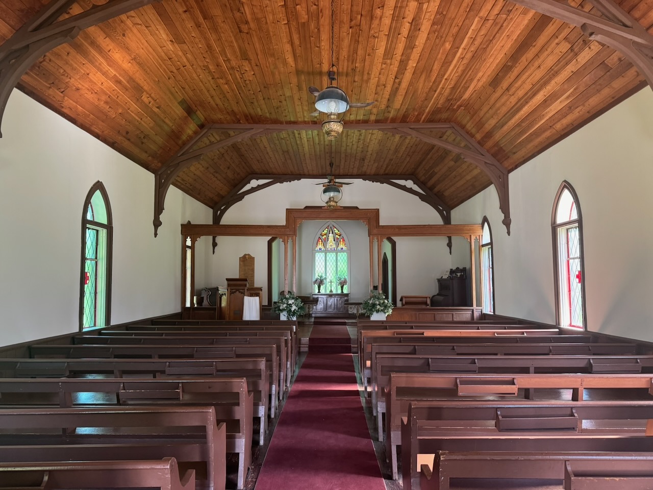
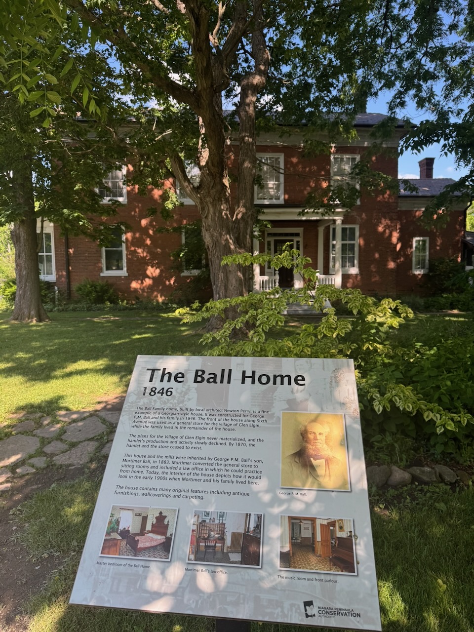
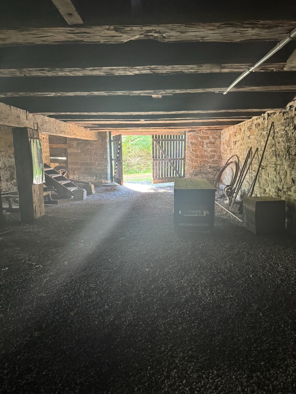
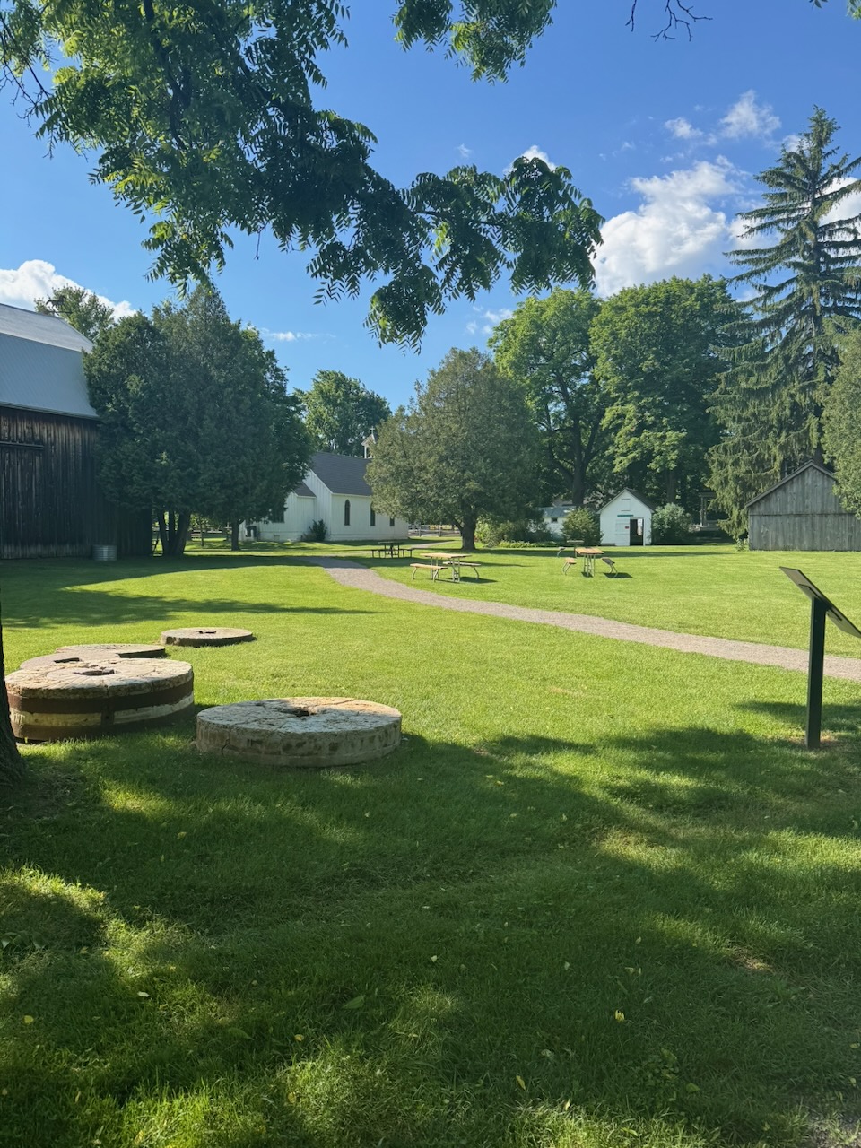
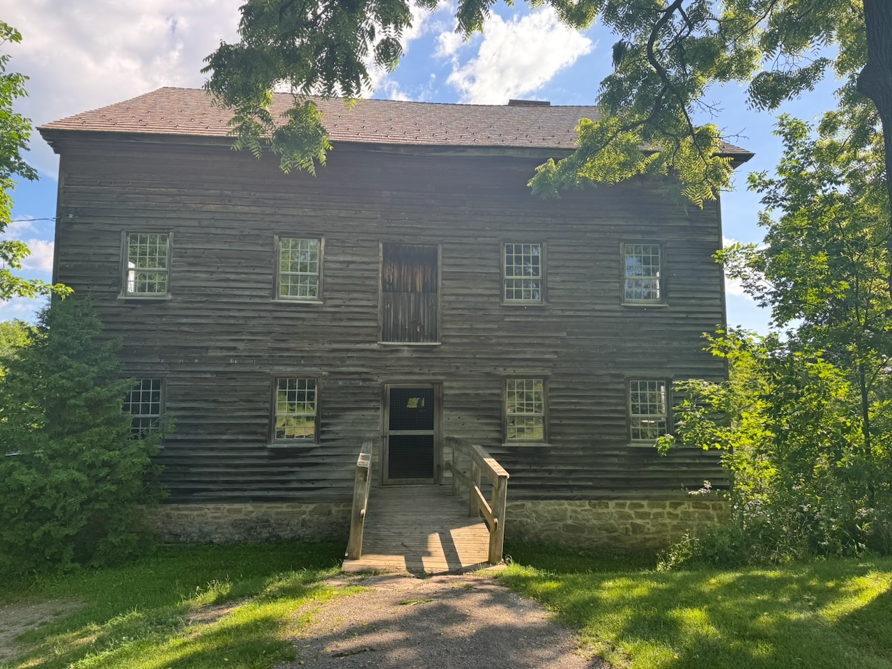
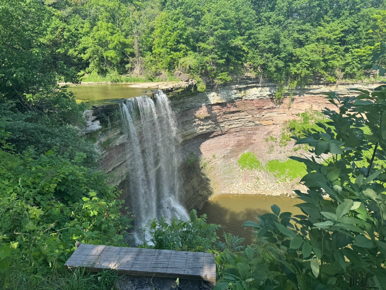
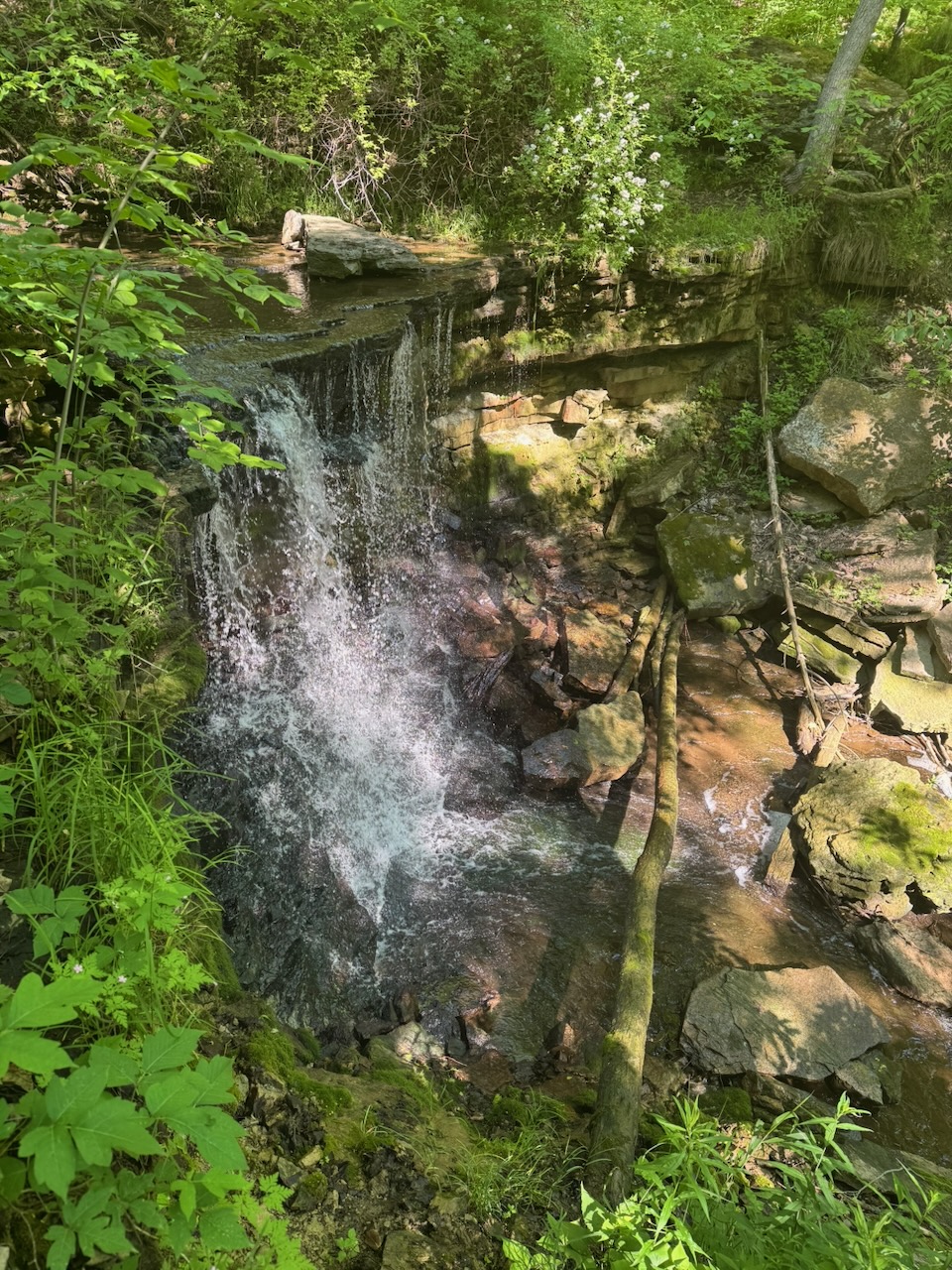
The next highlight was Balls Falls. There’s a little “Pioneer Village” type thing there with an old mill, blacksmiths, church etc. The buildings were all open and unattended, which is nice to see, that there’s still trust in people. I kind of broke down in the church and had a little weep about what I’ve lost. Sorry, I promise the rest of the post is more upbeat. The falls themselves are really large, but the volume of water going over them was not too much. I was actually there earlier in the year, in May, and there was easily several times, perhaps a dozen times, the volume of water going over the falls.
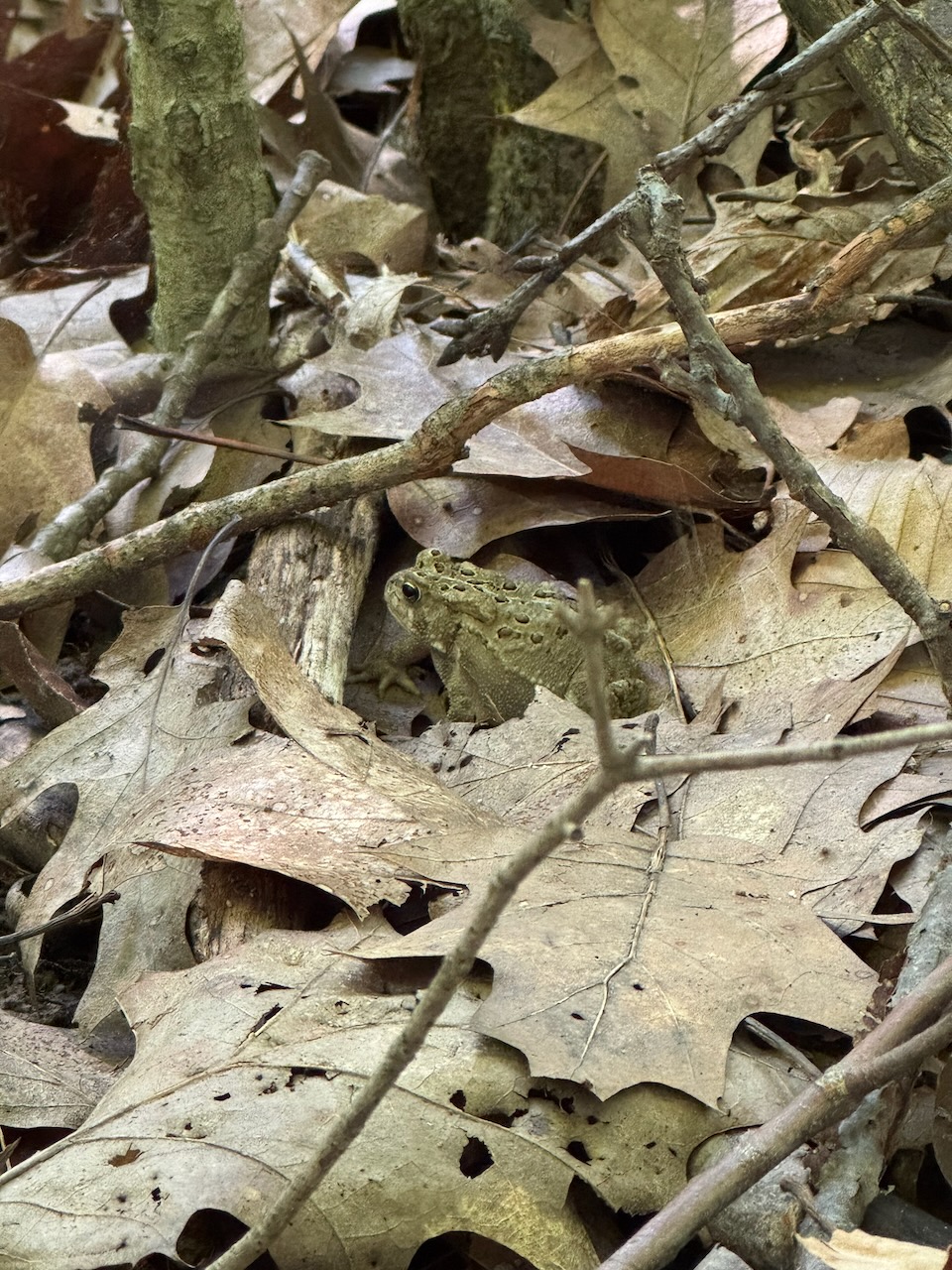
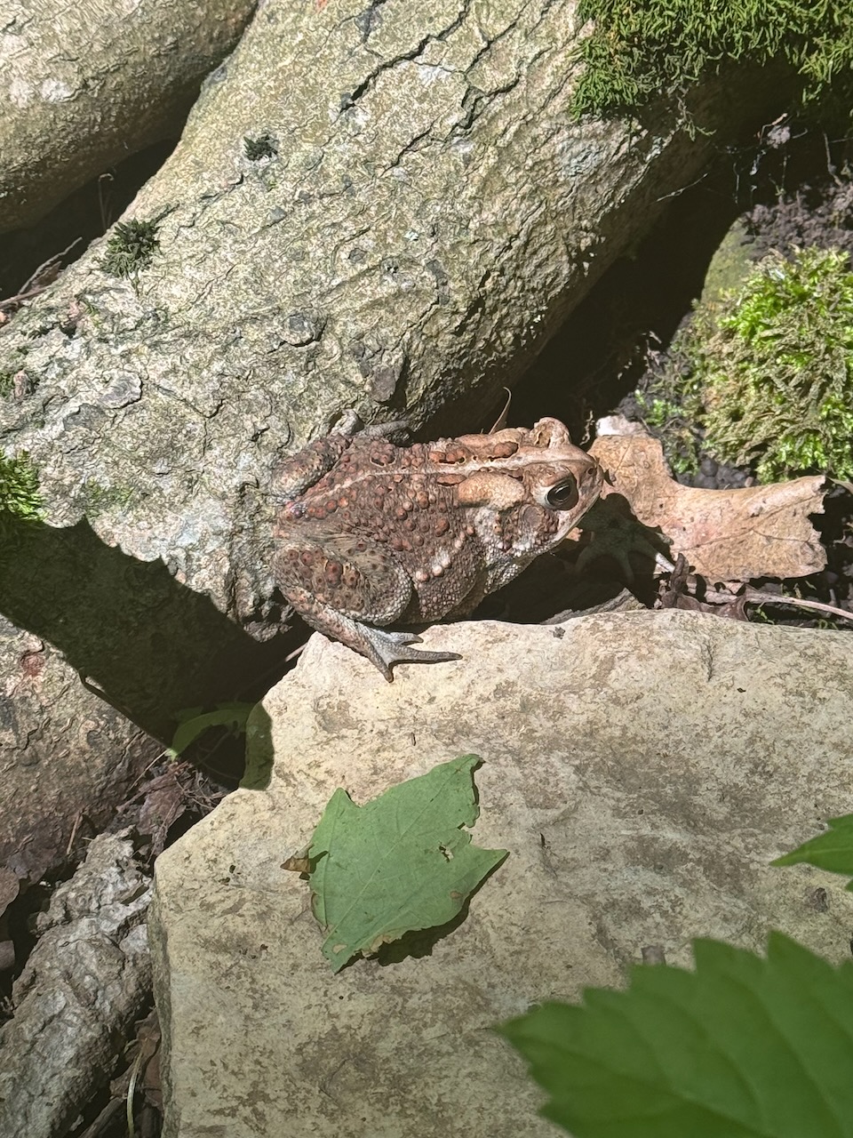
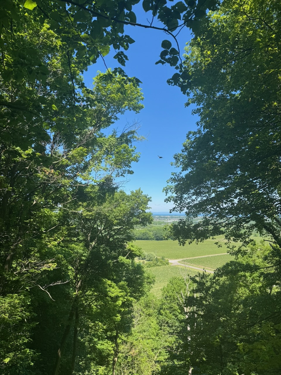
After this I nearly jumped out of my skin, when, on the next wooded section a giant bird took off as I walked past, making a huge racket. From the shape and colour of the tail I’m pretty sure it was a turkey. Small children take note: your semi-automatic rifle should be a shotgun, good for getting turkeys! In addition to a million squirrels and chipmunks there were also lots of toads and a few frogs out. Near the end of the hike at Cave Spring I stopped to look out over a large cliff only for two huge vultures to take off from the trees at the edge. I managed to kind of snap a picture of one, but without a telephoto lens wildlife photography is pretty useless. It’s here I encountered a 71 year old lady whose name escapes me, something like Ronda, but not that, or maybe that, not sure. She was only a few weeks away from finishing the entire trail, having started in May of this year! Obviously she’s not doing it in order, but wow, I hope I’m doing that well at 71, if I make it.
At this point we need to talk about water. Despite there being water water-falls everywhere, there’s not a drop to drink, except what you take with you. The hot day meant that I had consumed the 750 odd millilitres that I brought with me pretty early and I was uncomfortably thirsty. Real dehydration is actually a scary feeling. Consulting the trail map I noticed that if I turned directly east, leaving the trail and following a creek bed, I would end up at a brewery. There’s a few problems with this which “Ronda” and I discussed:
- Leaving the trail is actually against the trail code of conduct.
- It’s not clear that you could actually hike along the entire creek, parts of it could be difficult or impassable.
- The next exit from the trail (Cave Springs Conservation Area) was only about 1.5km away, and it should be possible to get an Uber to the brewery from there.
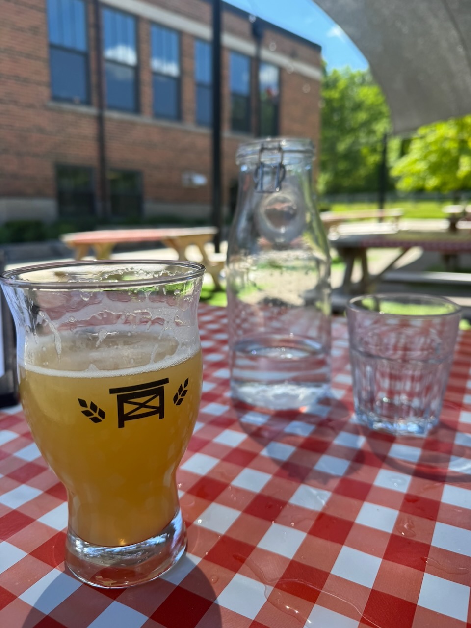
Despite the obvious chance for adventure I said goodbye to “Ronda” and hiked/ran the rest of the way on the trail. I did end up getting an Uber to Bench Brewing Company and quickly downed about two litres of water, followed by some beer and a sandwich. Cold beer tastes best when it’s well deserved.
Notes for next time:
- Pack more water. Two litres at least.
Only 817.7km to go!