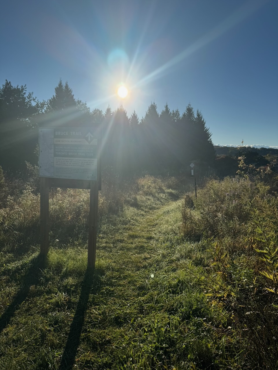
No need to get up too early anymore, leaving at 5AM would only mean over an hour of hiking in the dark. It’s October now you see, and the sun doesn’t come up until after seven. This sounds great, sleeping in a bit, however it means driving when there’s already traffic, and finishing later in the day.
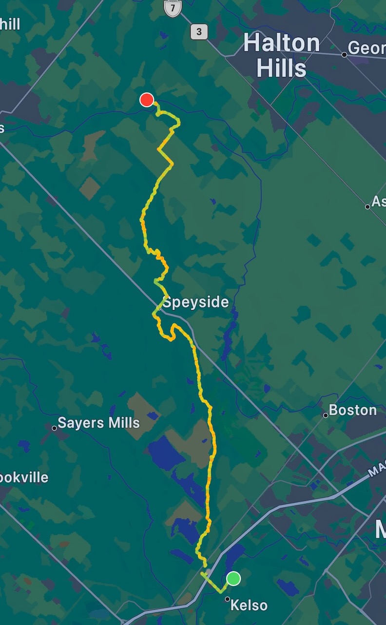
If the route map looks a little less detailed than normal that’s because it’s a bit more zoomed out than normal. This is the longest hike I’ve done yet at 24km. The reason being that the Toronto section of the trail is only 50km, and I aim to do it in two hikes. It being October already I’m quickly running out of time in which the weather is pleasant. I haven’t yet decided if I’ll continue this during the winter. Winter hiking is certainly possible (I’ve done it), but the scenery is rather dull by comparison, and if the snow is deep it’s a slog.
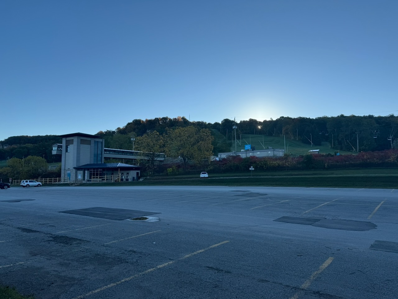
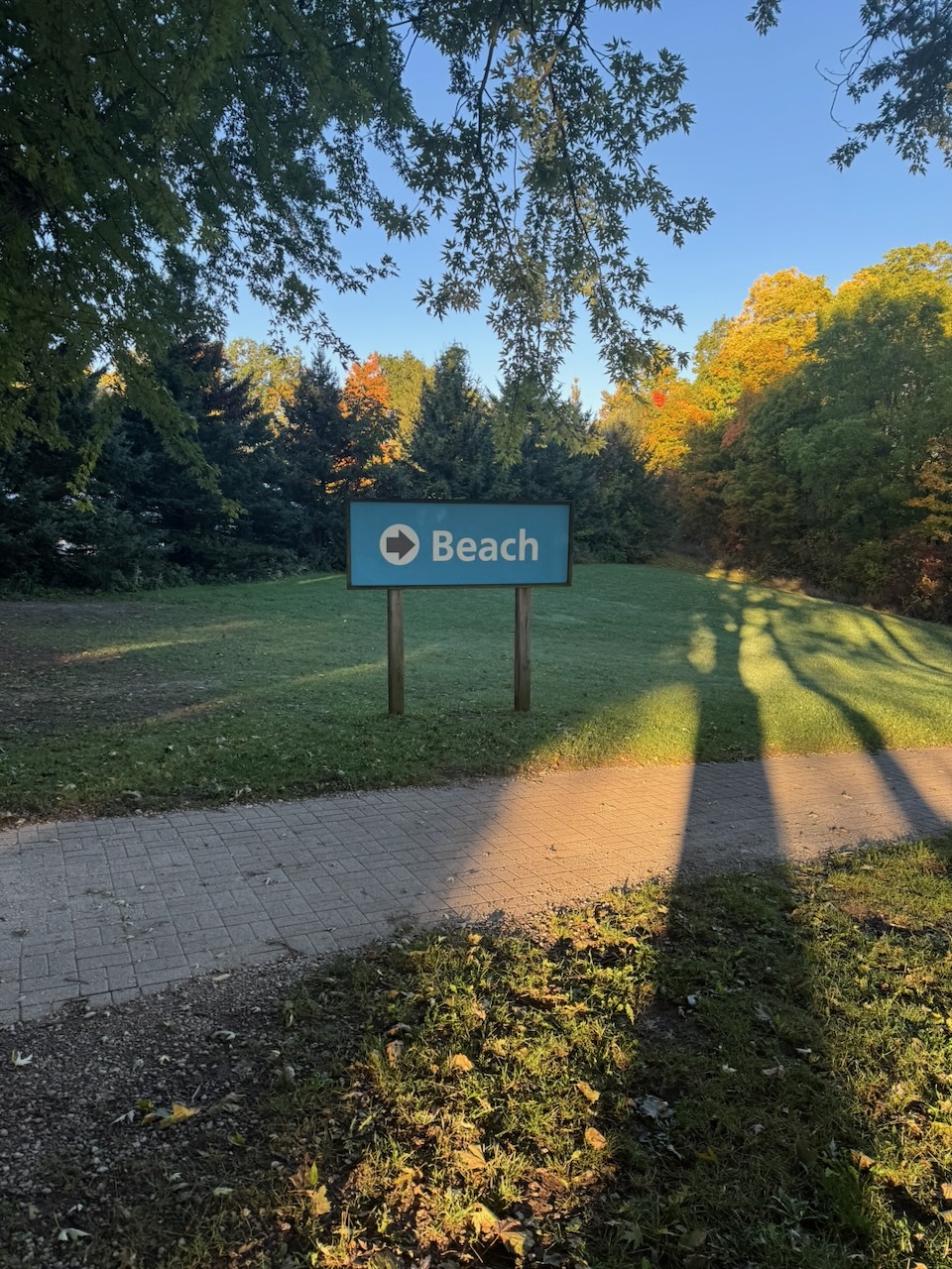
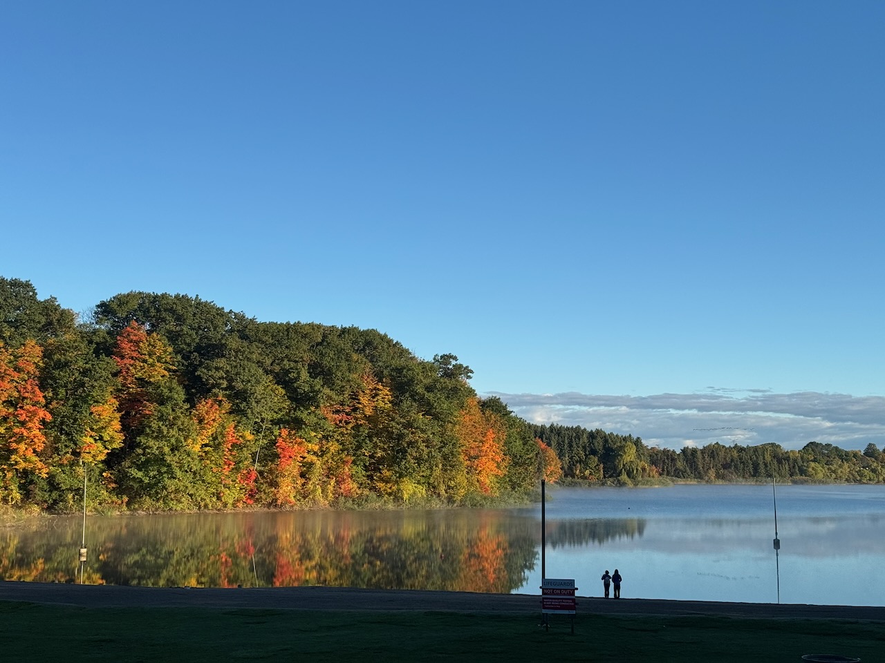
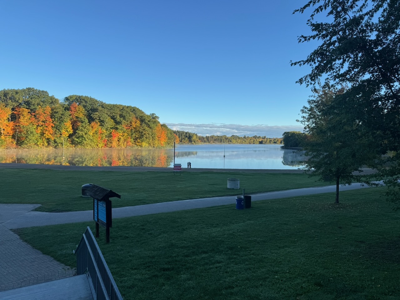
I arrived at Glen Eden to a sign saying it wasn’t open yet, but the parking lot gate opened anyway. I was one of maybe three cars parked. The restrooms were also unlocked, which turned out to be quite convenient. Nice and clean too, with decent TP, double-ply even! Anyway, right after that I noticed a sign pointing the way to the “Beach”. Though not on the trail, I was intrigued and followed a short path down to the “lake”. There is indeed a beach of sorts here, but it looks like the kind that would have murky water and people with bluetooth speakers during the summer.
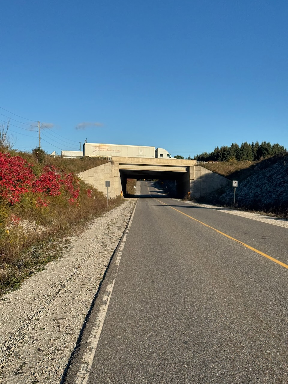
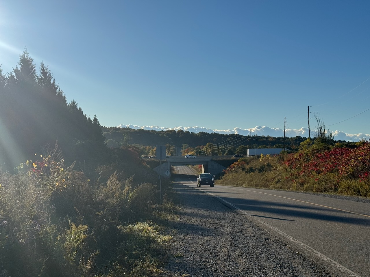
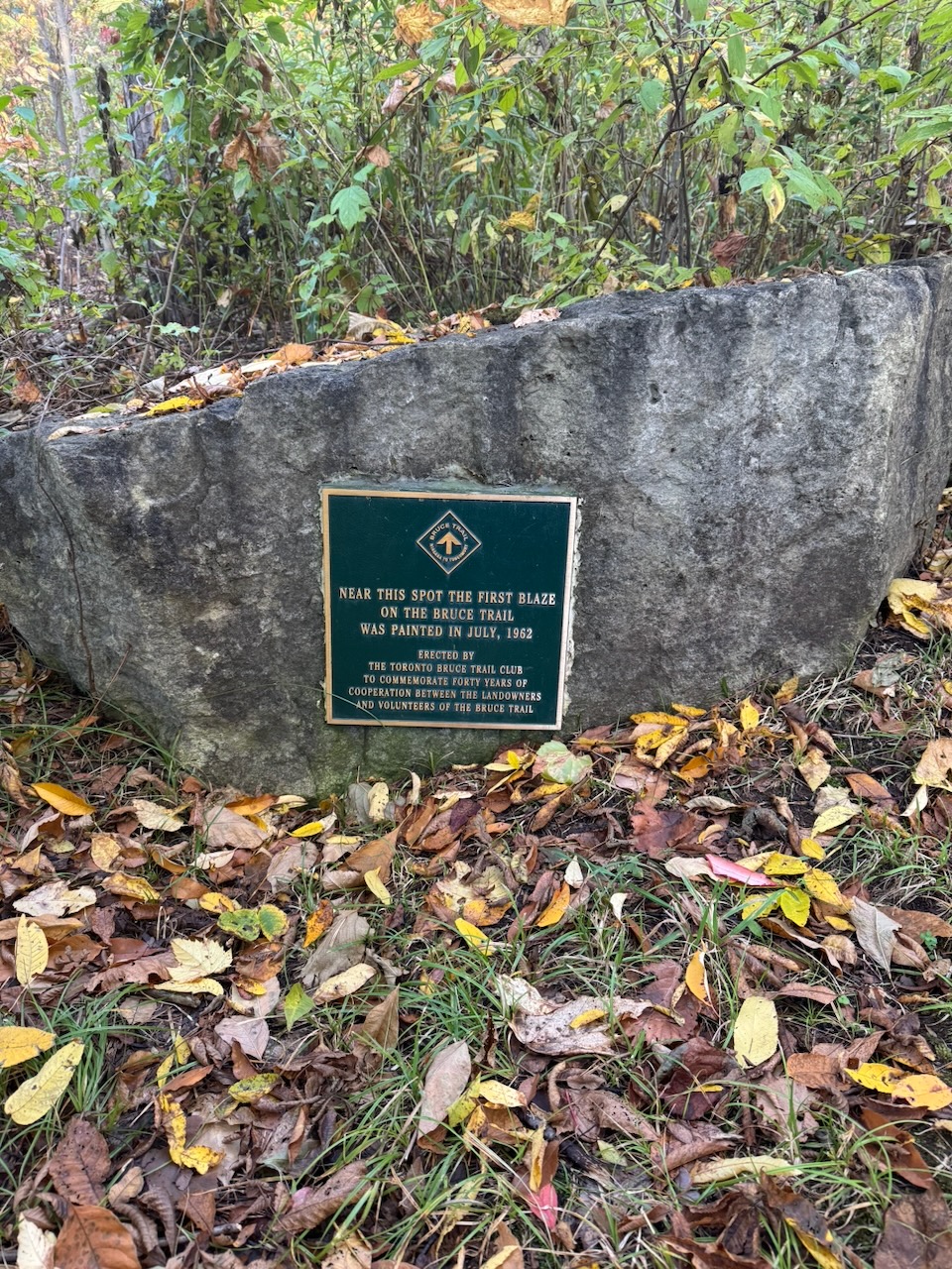
Next I passed under Highway 401, which seems mundane but does feel like an achievement, a sign I’m slowly making my way north. It’s not exactly Caesar crossing the Rubicon. But hey, small victories and all that. A plaque commemorating the first blaze on the trail appeared shortly after. This left me a bit confused, as I saw a sign proclaiming the exact same thing on day four. That one was plastic, and this one is bronze. I guess that makes this one more official? At any rate, they need to get their story straight.
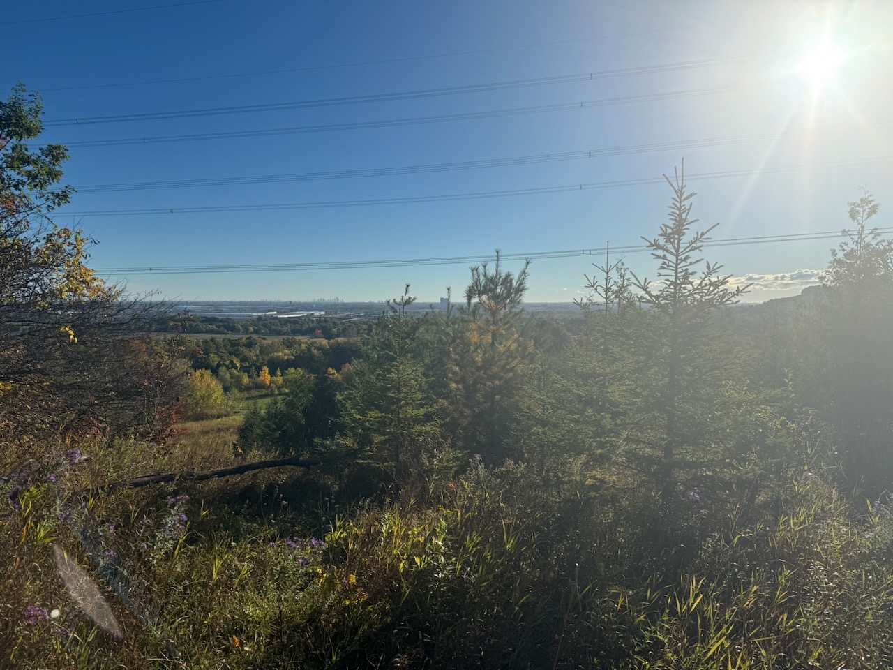
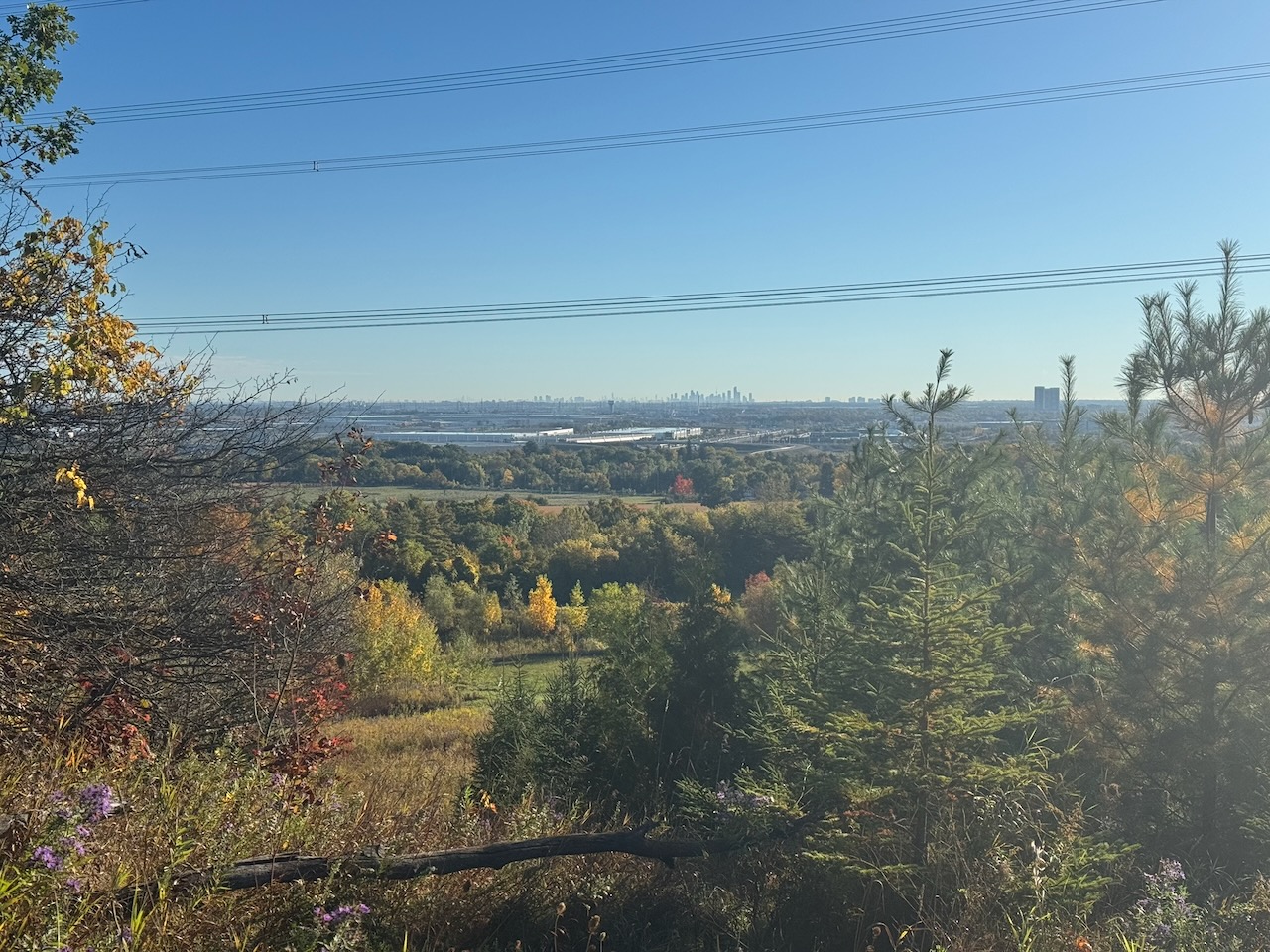
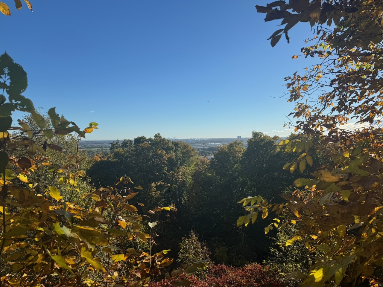
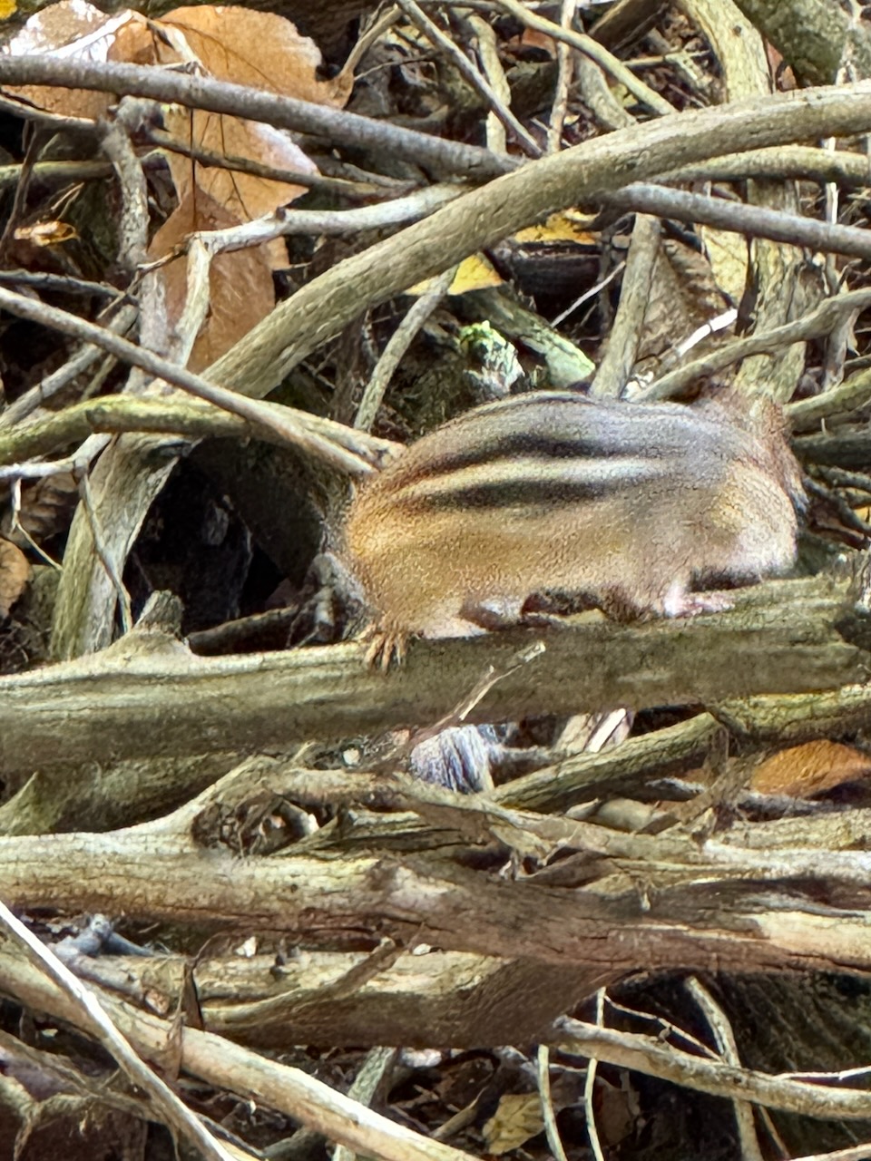
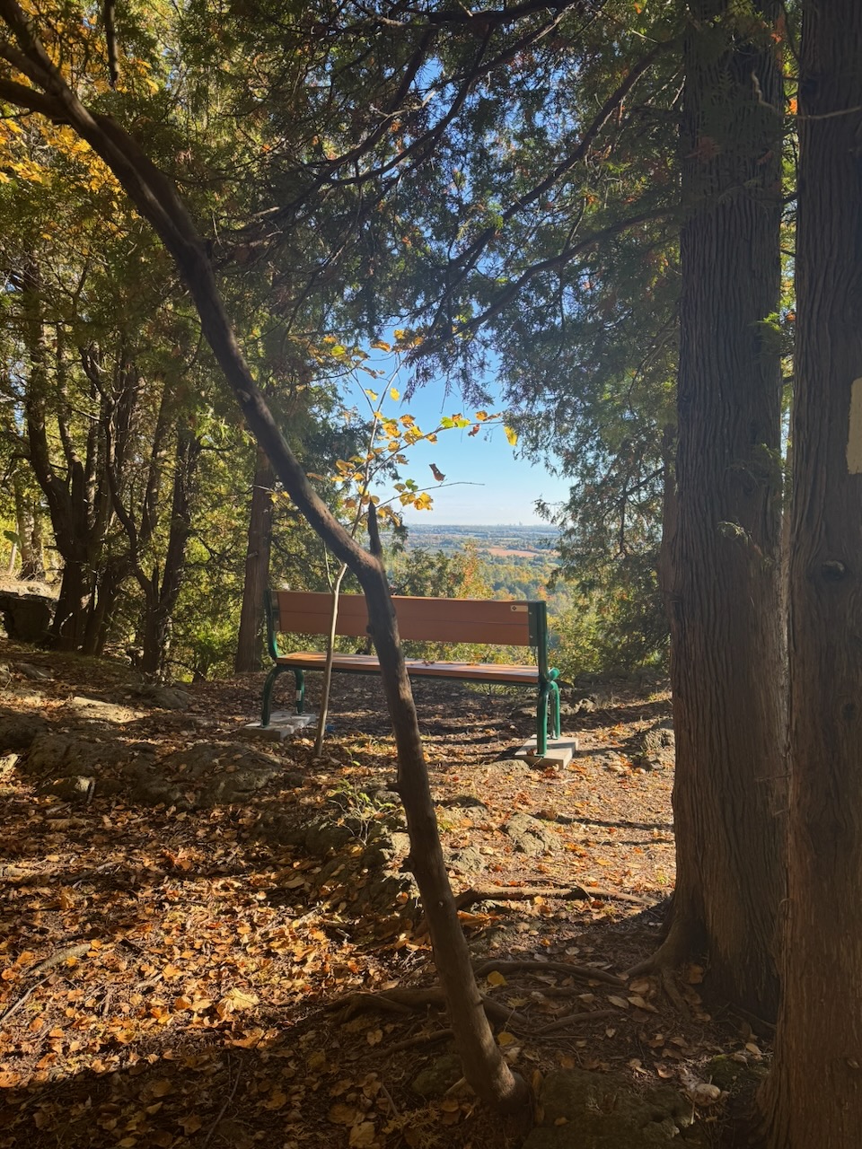
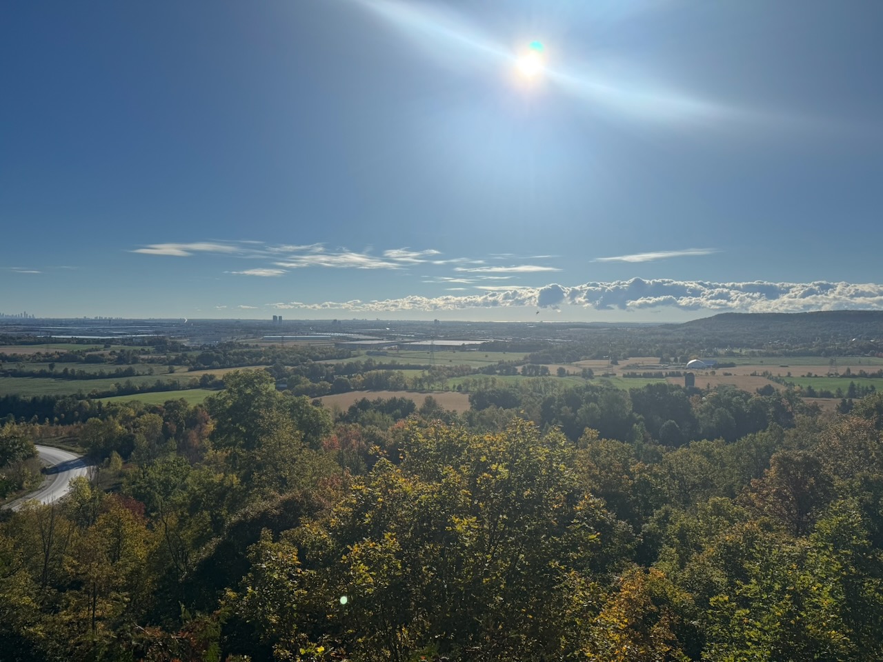
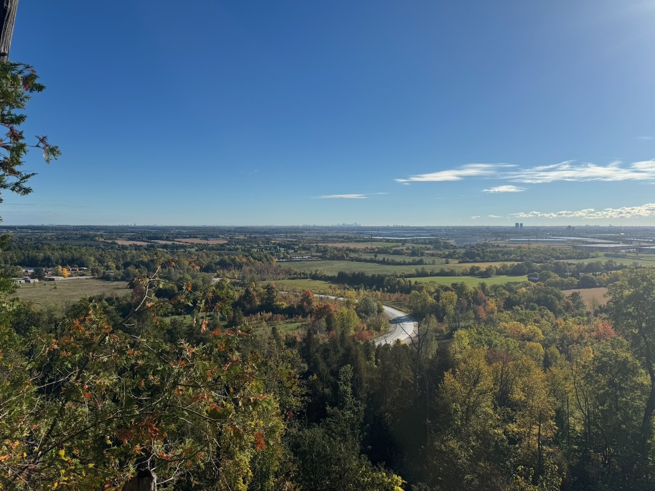
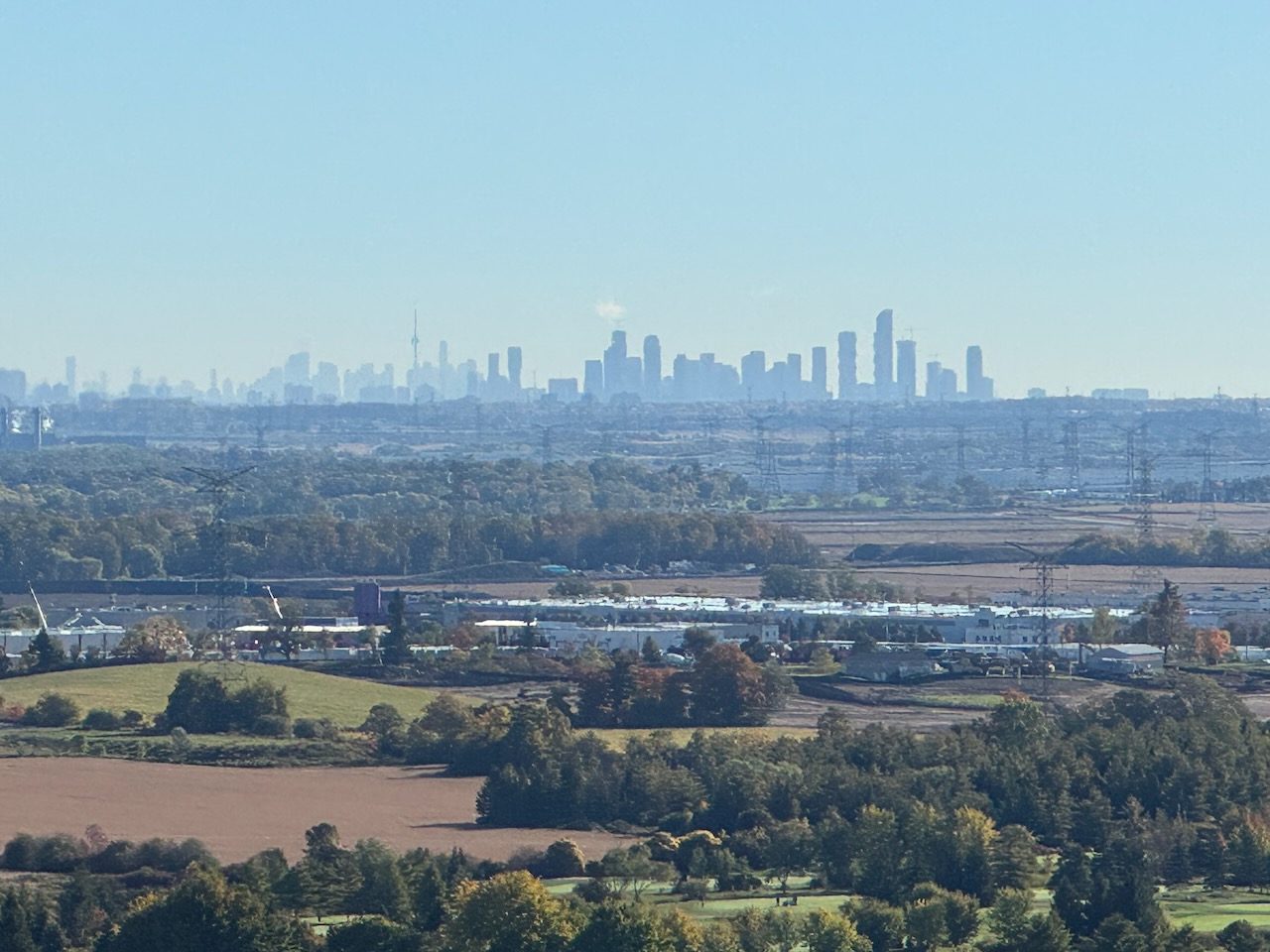
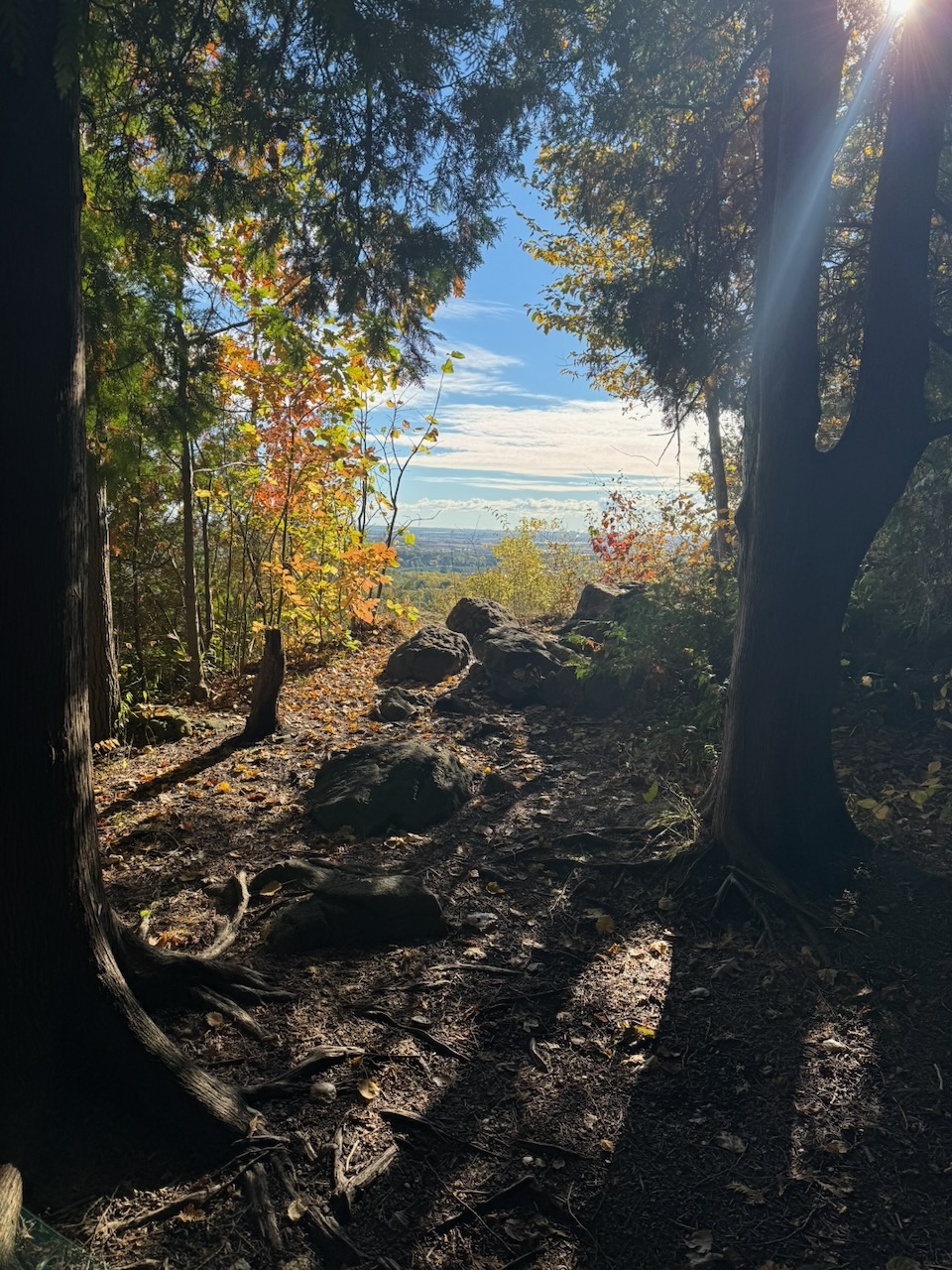
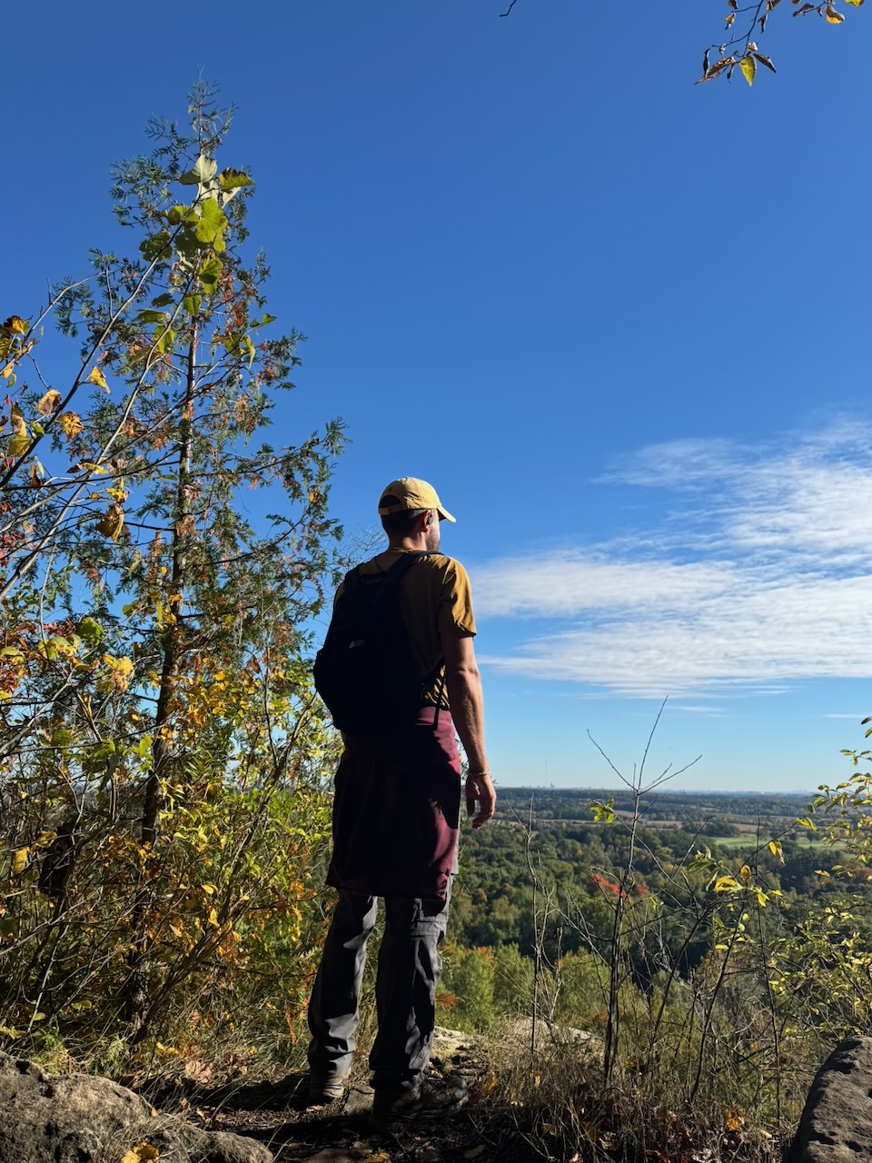
I was soon on the top of the escarpment again, with clear skies making beautiful views out to Lake Ontario and Downtown Toronto. It was still early enough in the day that I had many animal friends. Chipmunks, blue jays, I even saw a few turkeys on the trail. I tried desperately to get some pictures, but they move so fast that an iPhone is hopeless. At best you get a blurry brown spot.
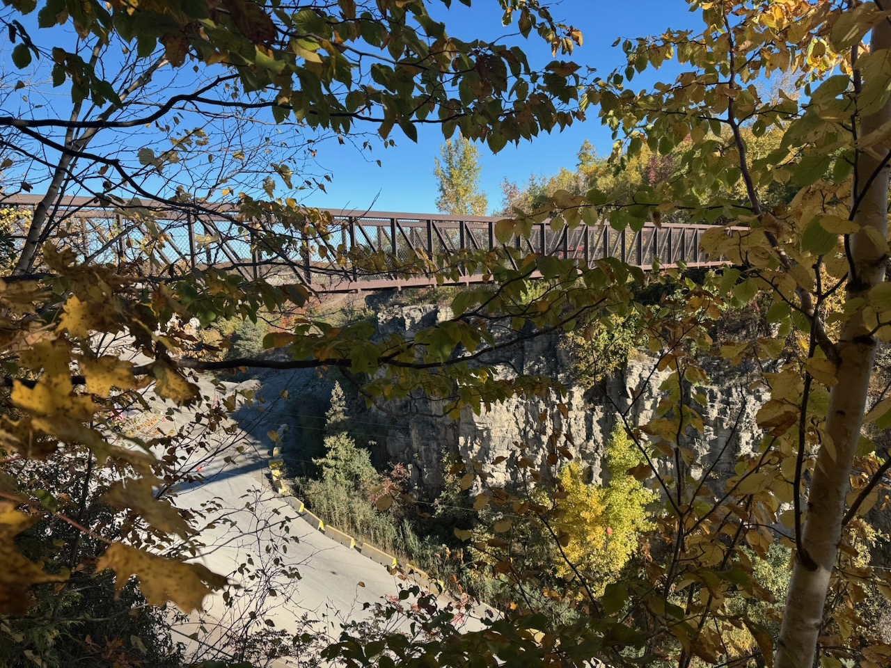
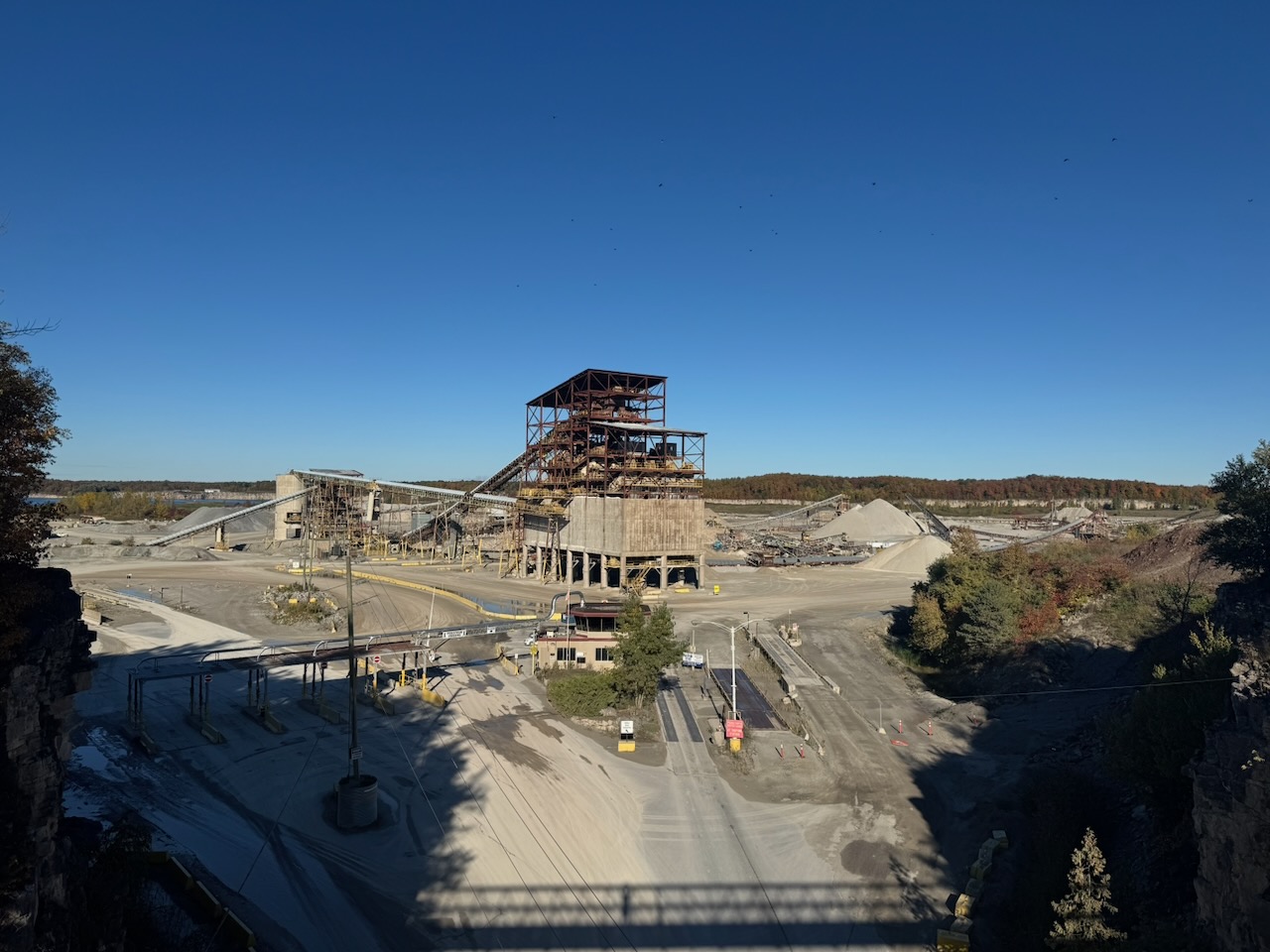
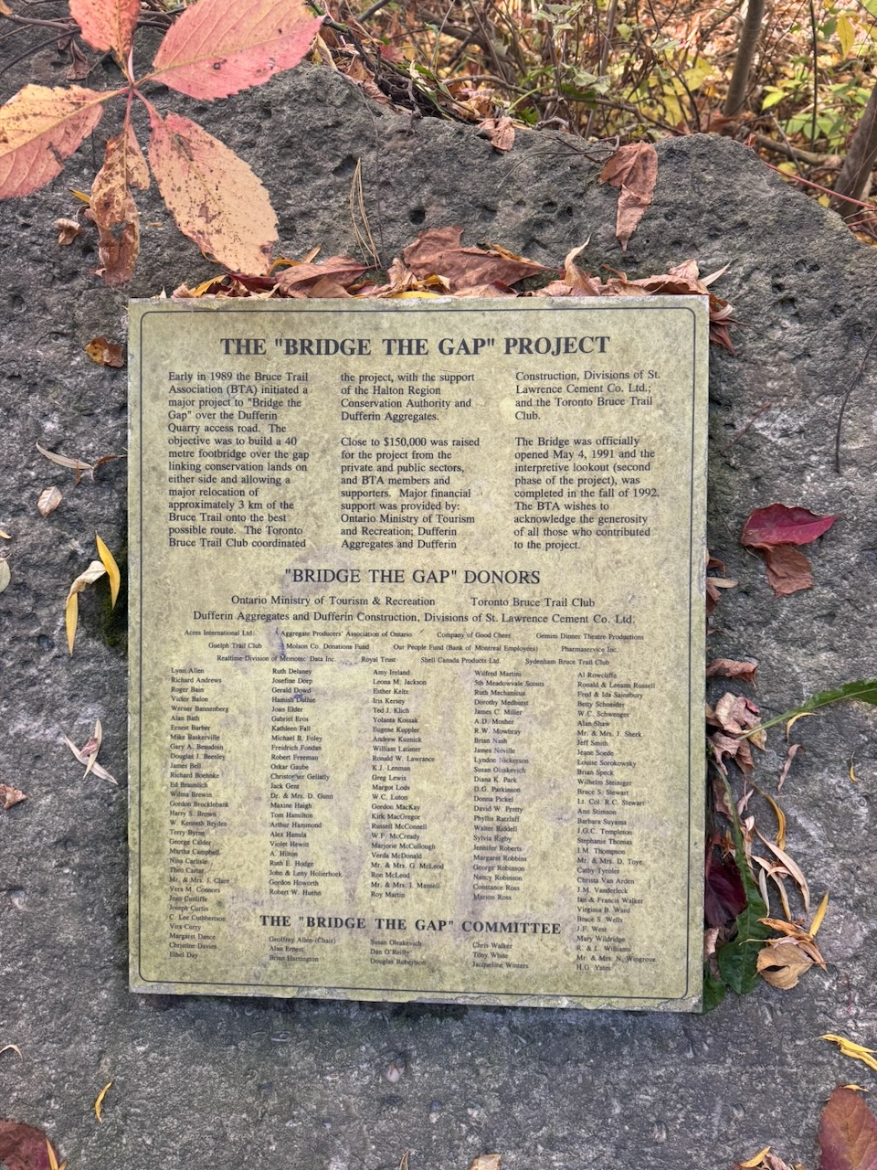
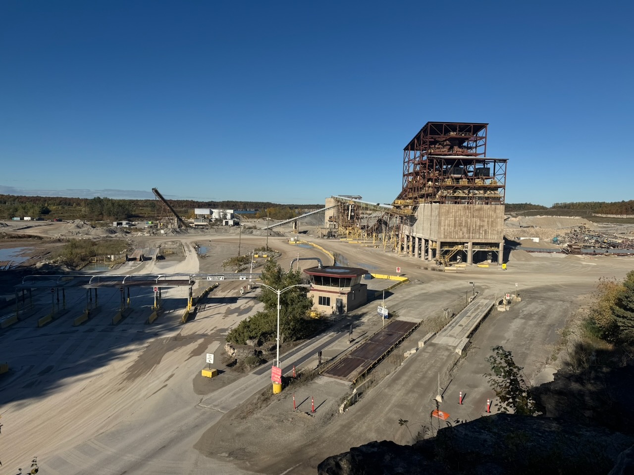
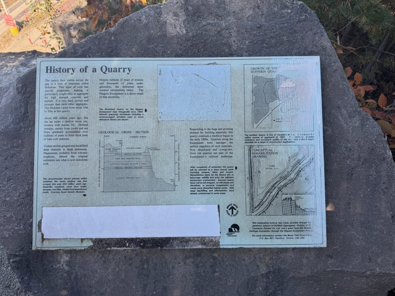
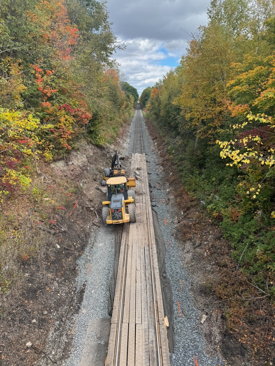
The highlight of the day came next. A large bridge spanned a road cut right through the escarpment. Turns out the reason is because there is a massive quarry on the other side. The rock they are quarrying in this pit is a type of limestone called dolostone, mainly used as an aggregate in concrete. Even though it was Saturday there were still trucks coming and going.
I have no doubt that there are people who hate the fact that industry like this exists on the escarpment, but I’m not one of them. I take comfort in seeing people doing actual work, with actual machines. My own job is getting so far away from anything you could call “work” that it makes me wistful watching the trucks move rocks around.
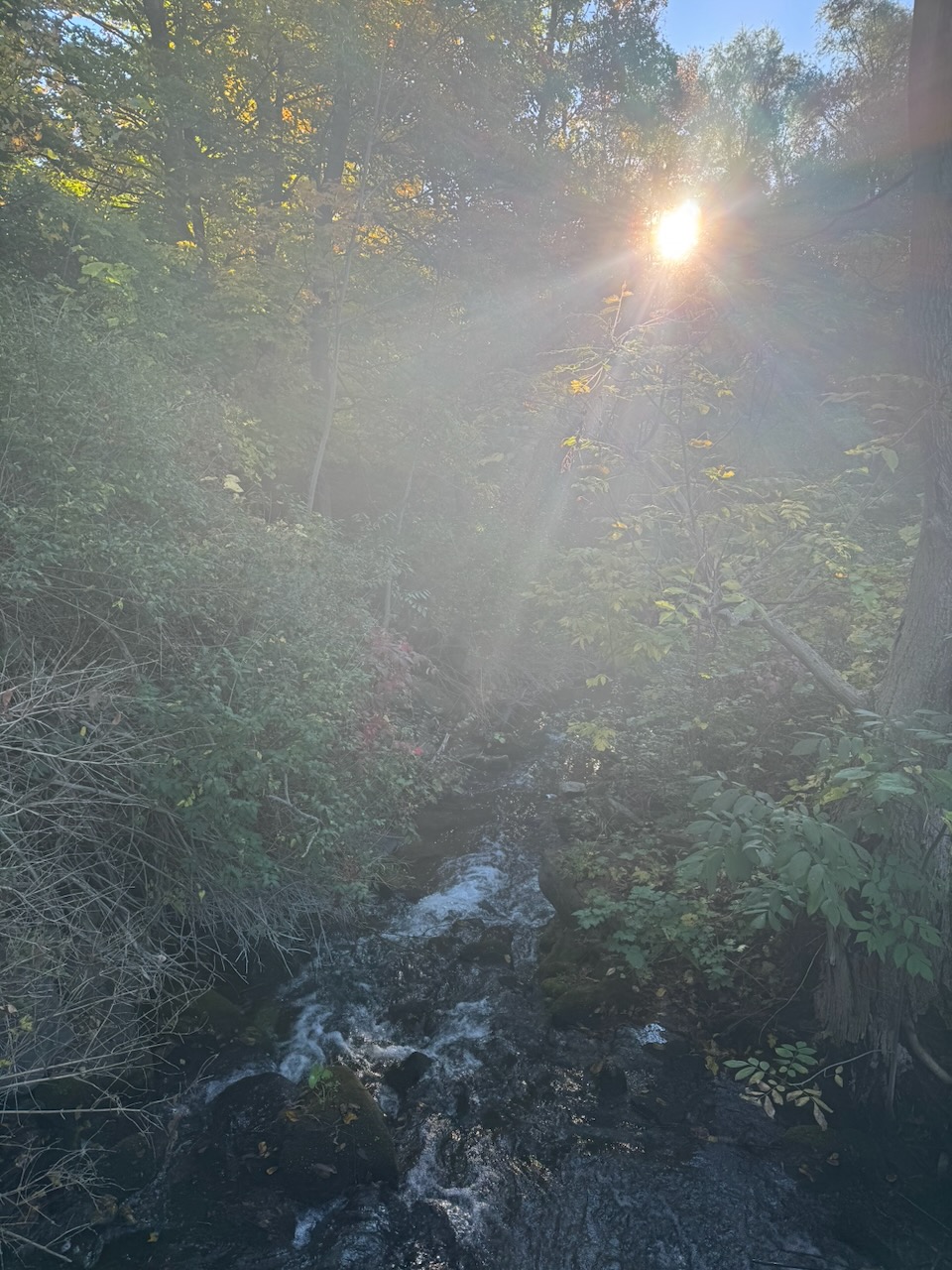
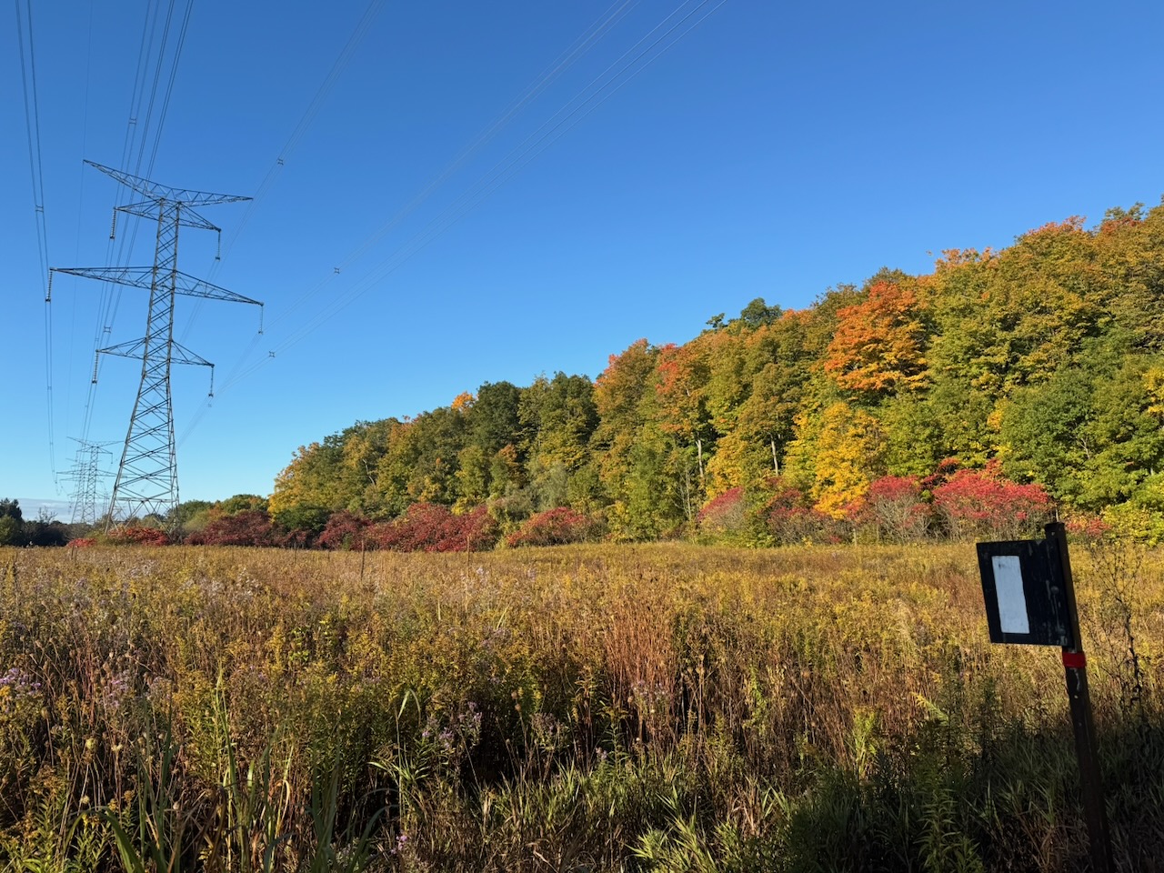
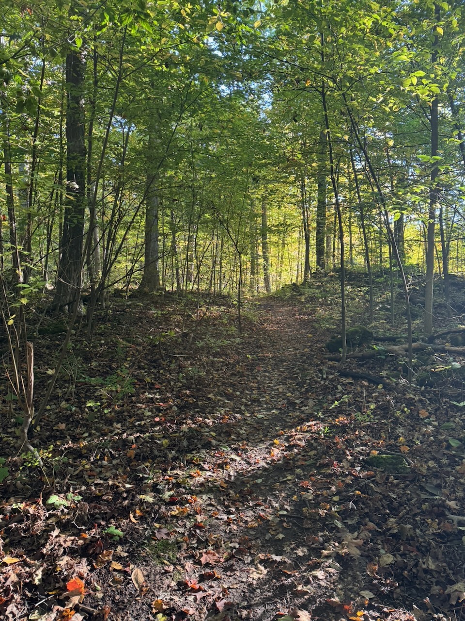
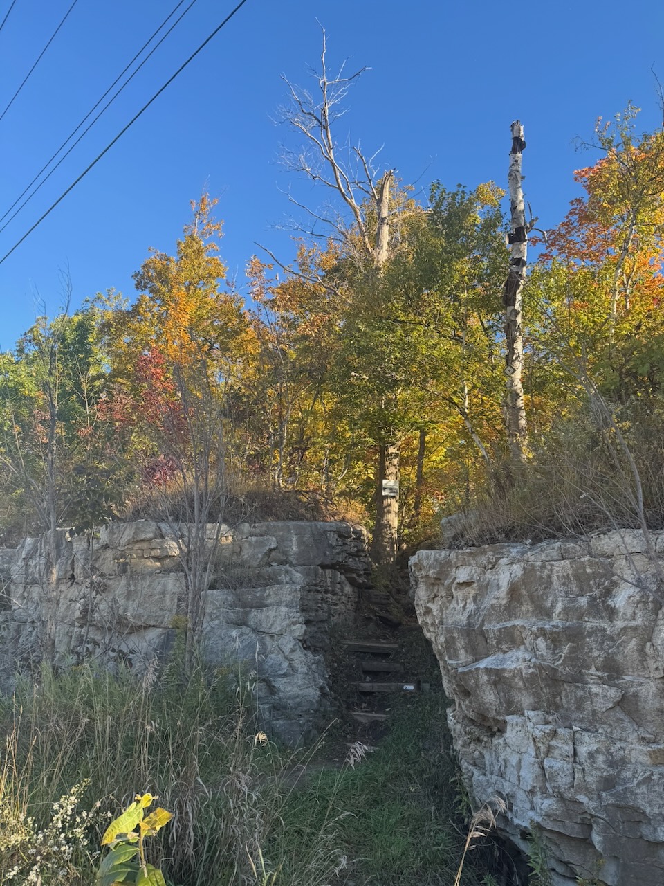
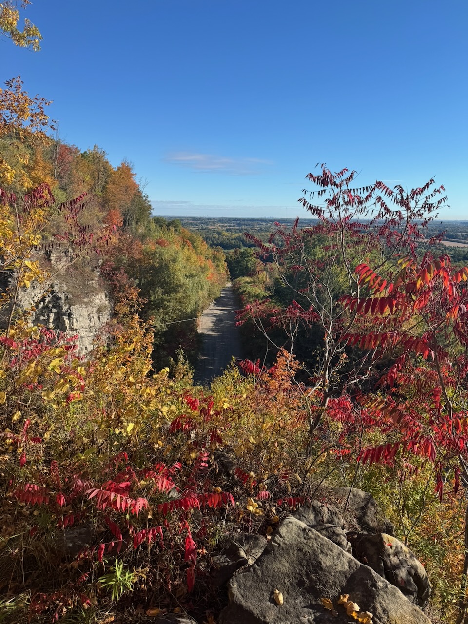
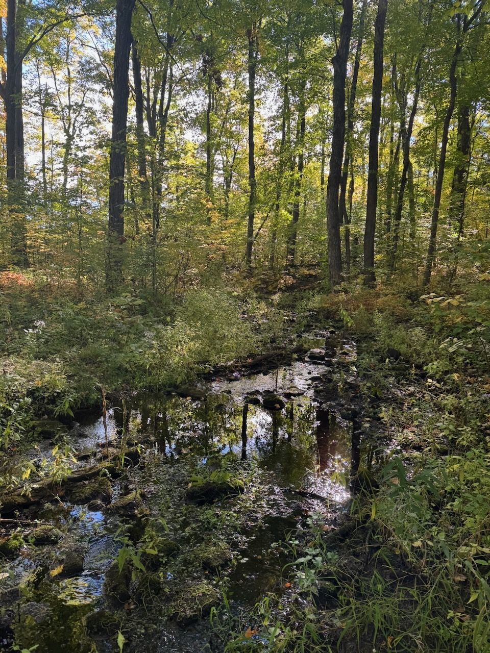
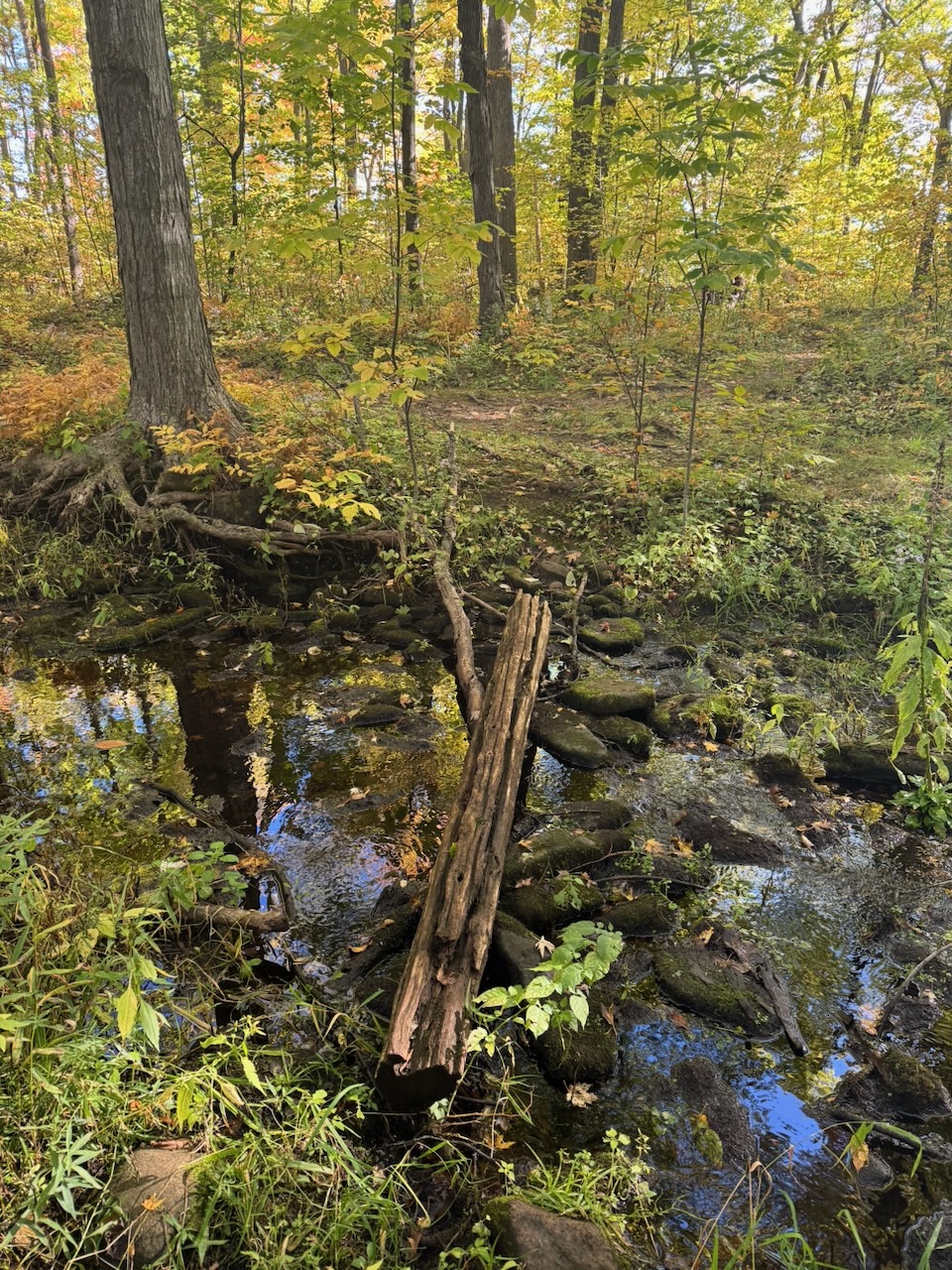
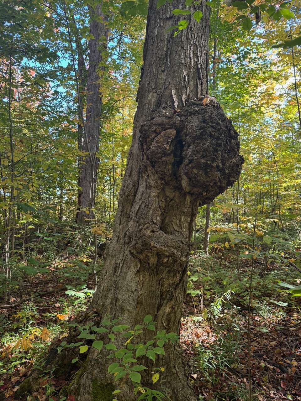
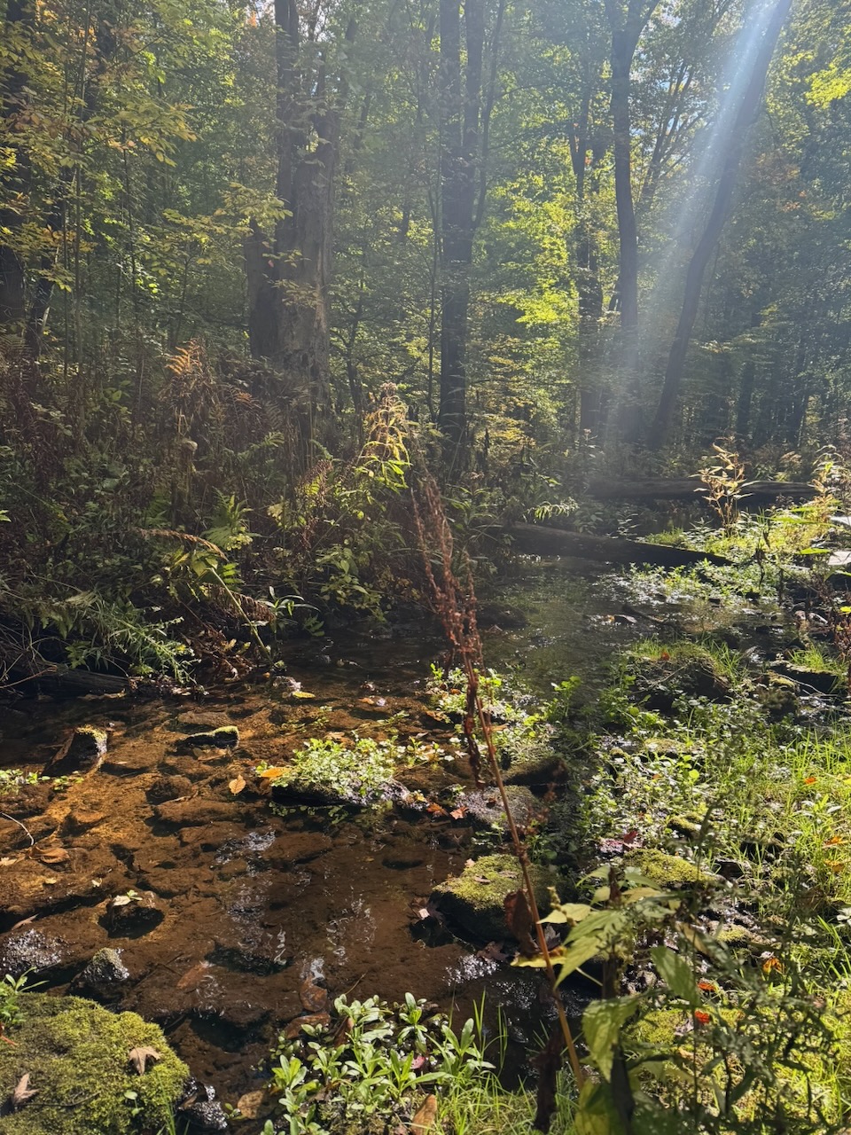
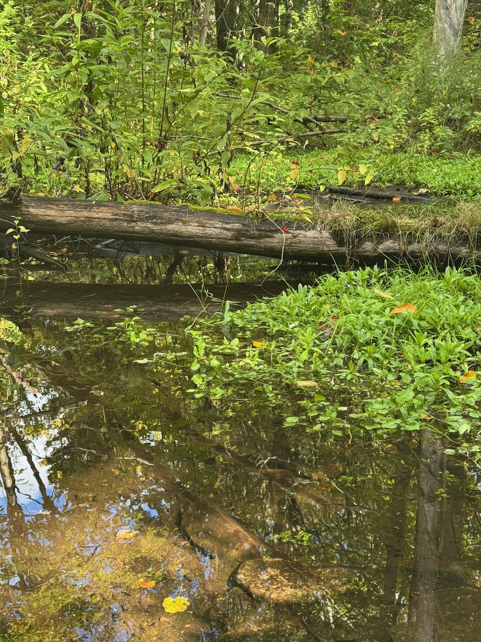
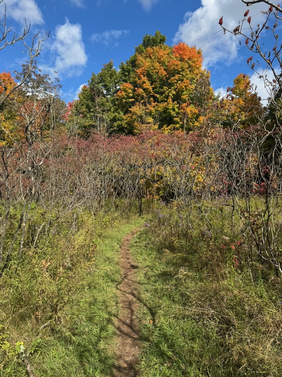
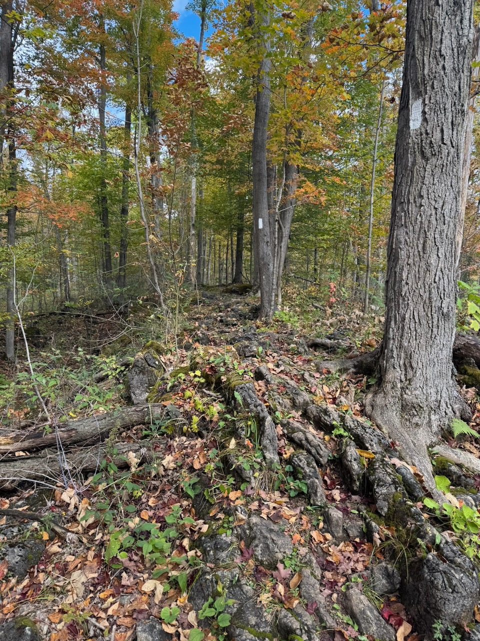
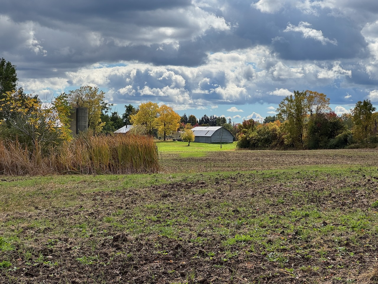
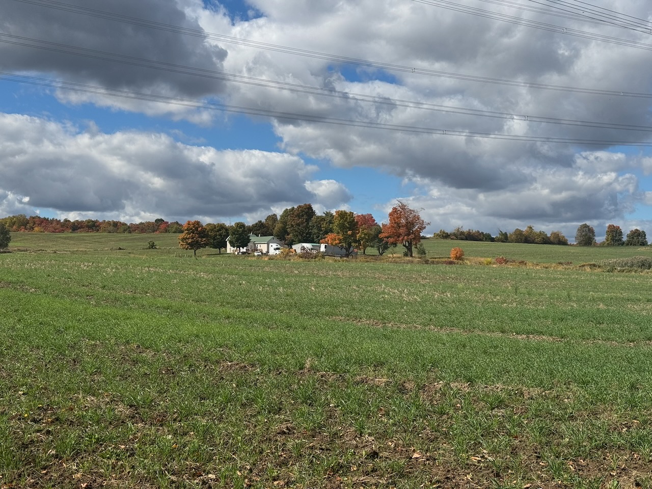
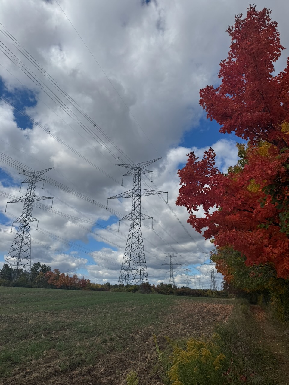
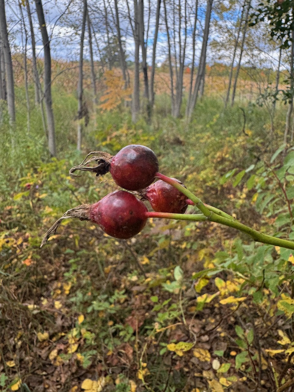
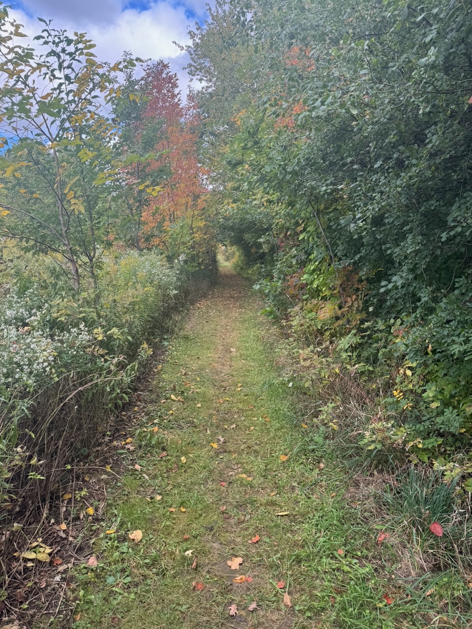
The trail followed the edge of the escarpment for quite a long time after this, later descending and going through wood and past farms and fields. The autumn colours were beautiful, with the clear skies really making them pop. There were many kilometres of walking through the woods, of which there’s not much to say. I normally would have ended just before Limehouse Conservation Area, but as I mentioned, to do the Toronto section in two days I decided to go all the way through it and finish on the other side.
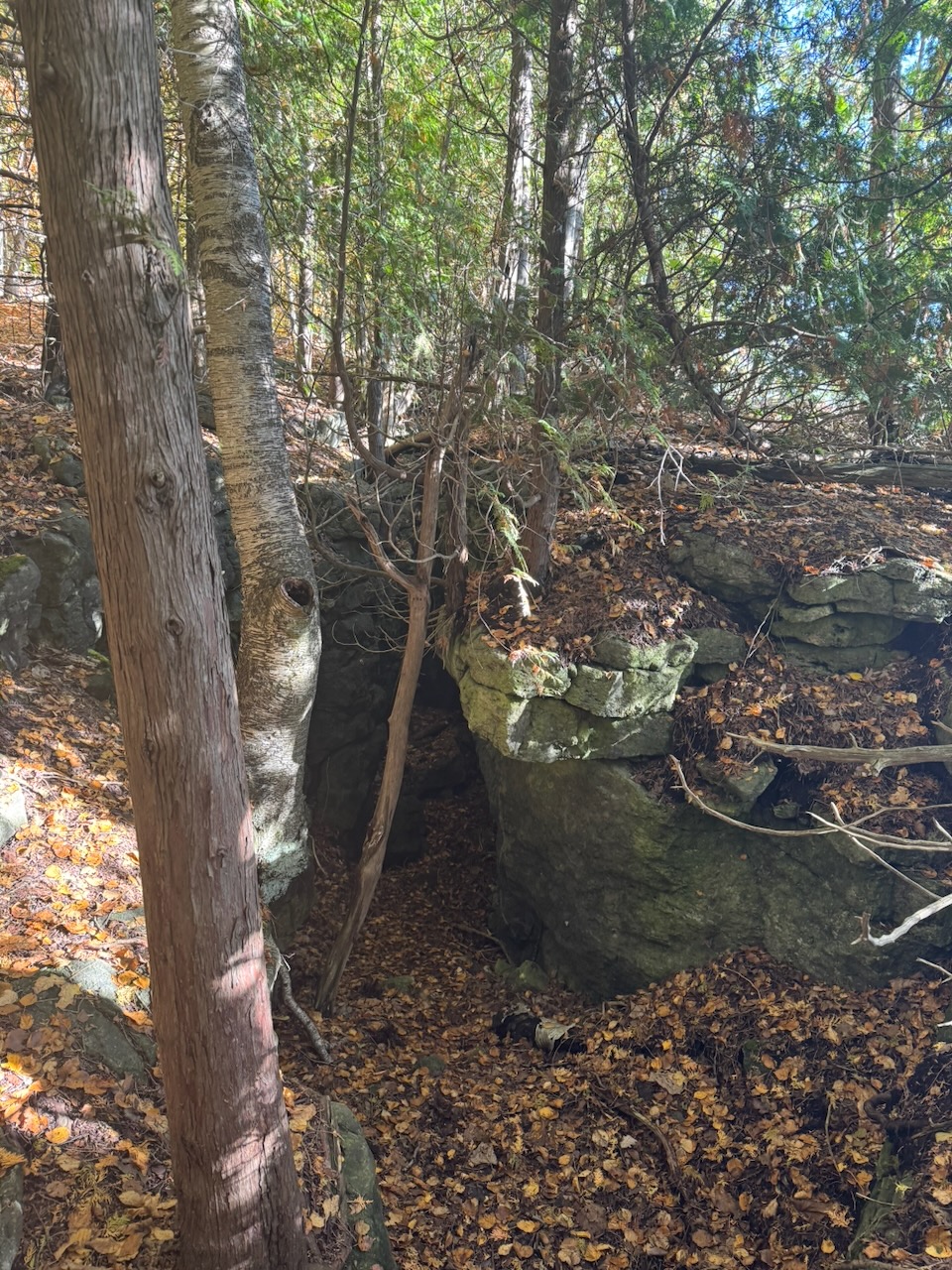
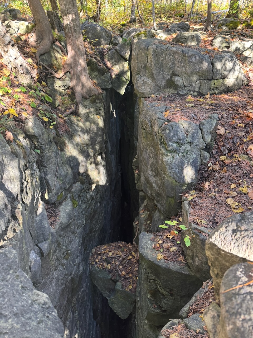
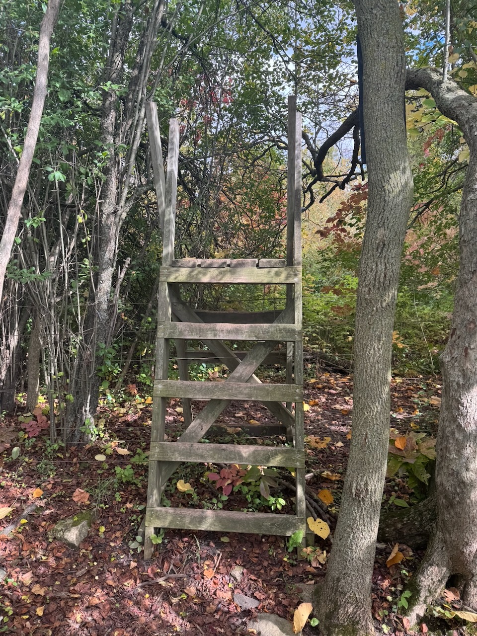
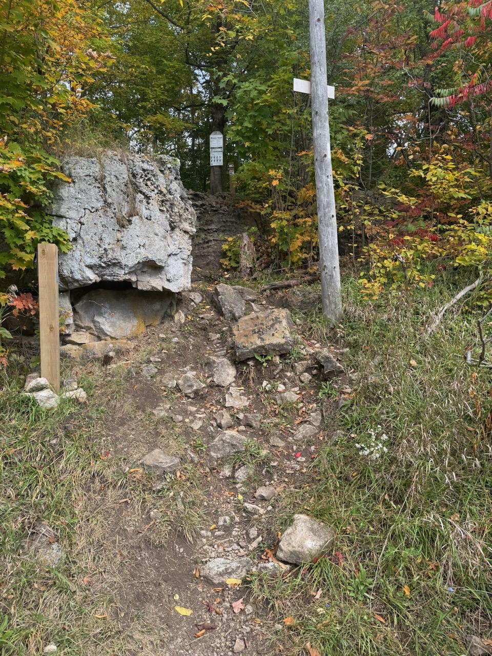
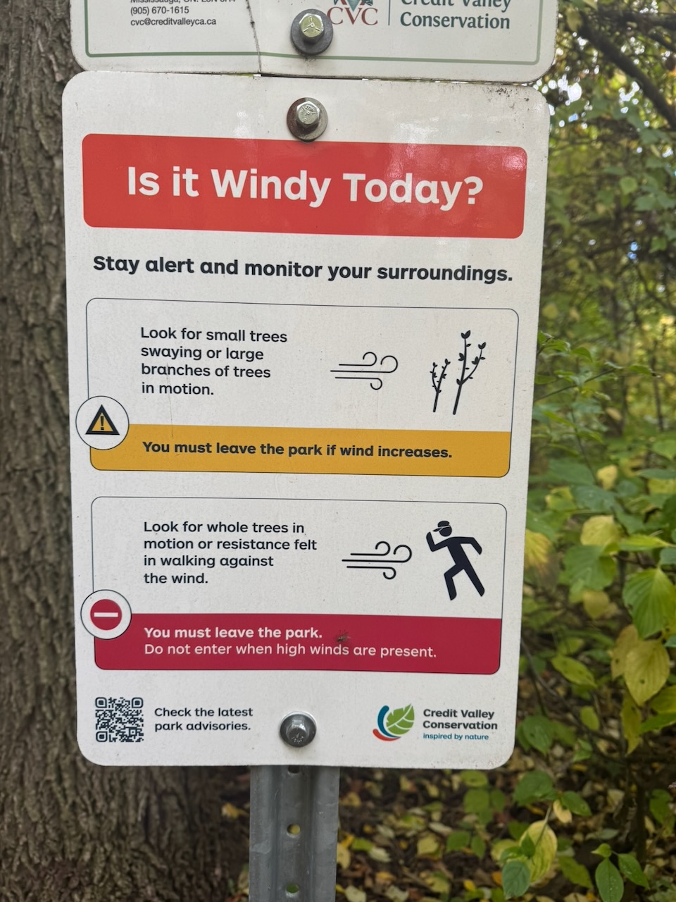
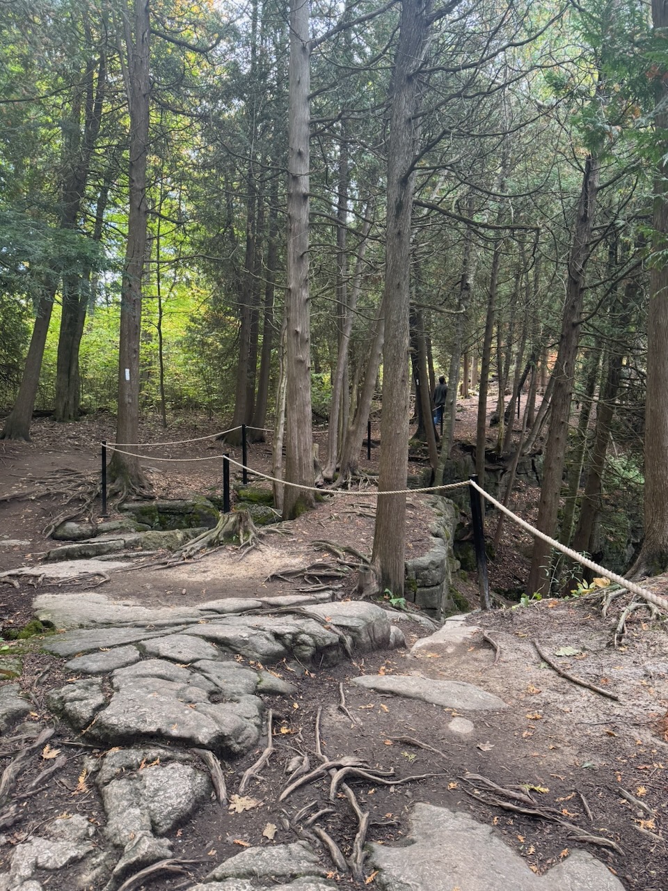
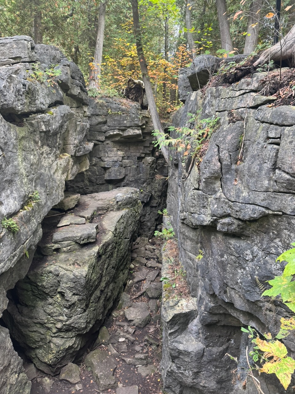
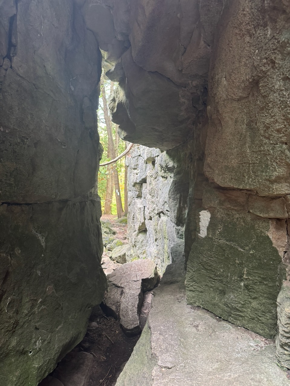
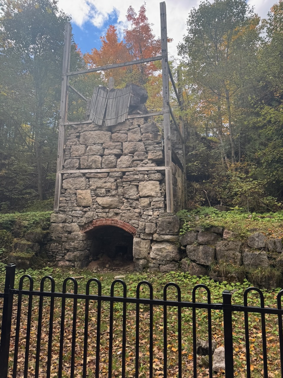
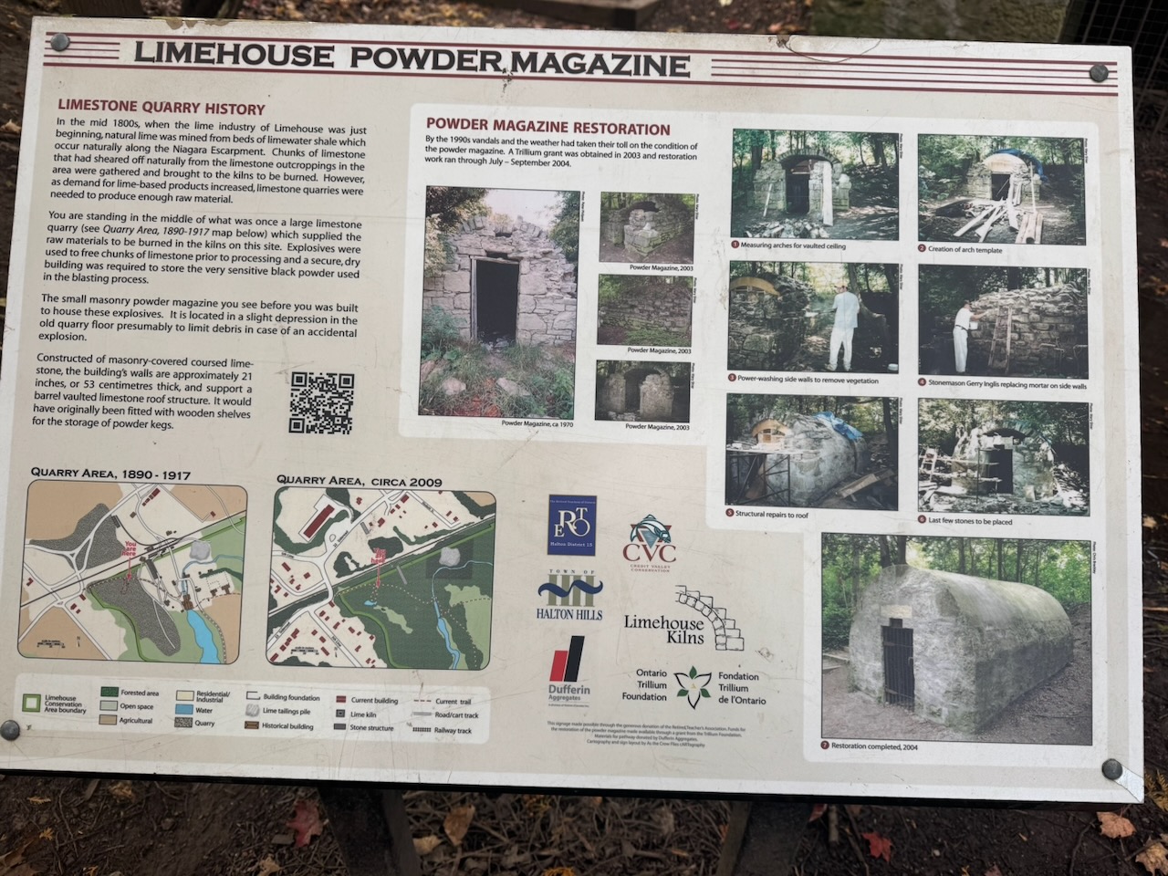
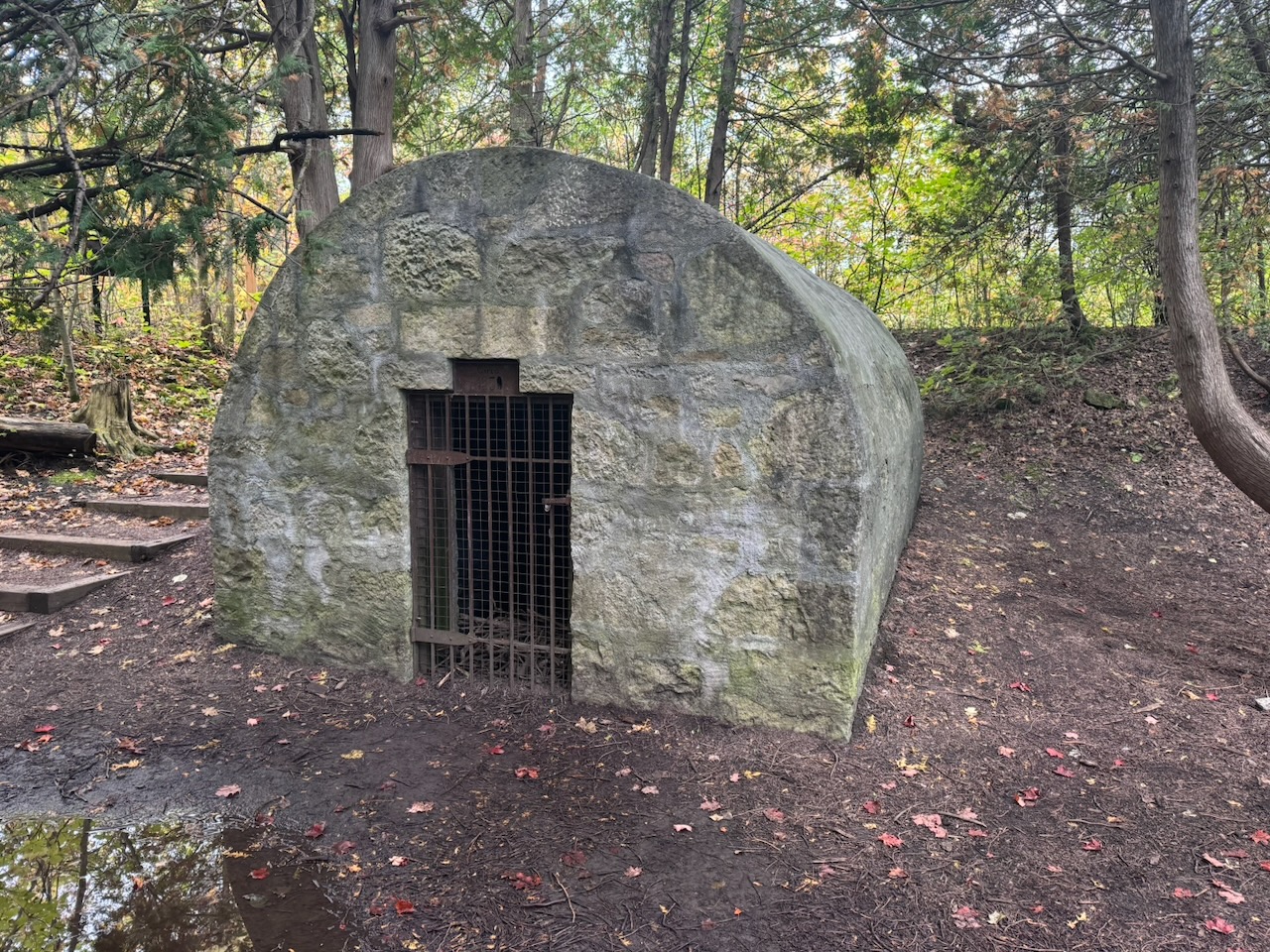
The entrance to Limehouse has a warning sign telling you to be careful about the wind speed. I assumed this would be because there were exposed lookouts with high elevations. But no, there was nothing like that. I have no idea why wind speed would be an issue here. Up until this point I had seen almost no one else on the trail. But Limehouse has “rock formations” which means it was crawling with families and people hiking in Crocs. The “rock formations” are just a ladder that goes through a small cut in a small cliff. They’re unremarkable considering the crowds that had come to see them. I suspect this is mostly because this is the section of the trail geographically closest to Toronto, making it an easy afternoon trip. Turns out this area was once a quarry as well, again for limestone. Unlike the previous quarry, here they would have burned the limestone to make quicklime, probably for use in cement. You can see the remains of a mill, kiln, and powder magazine.
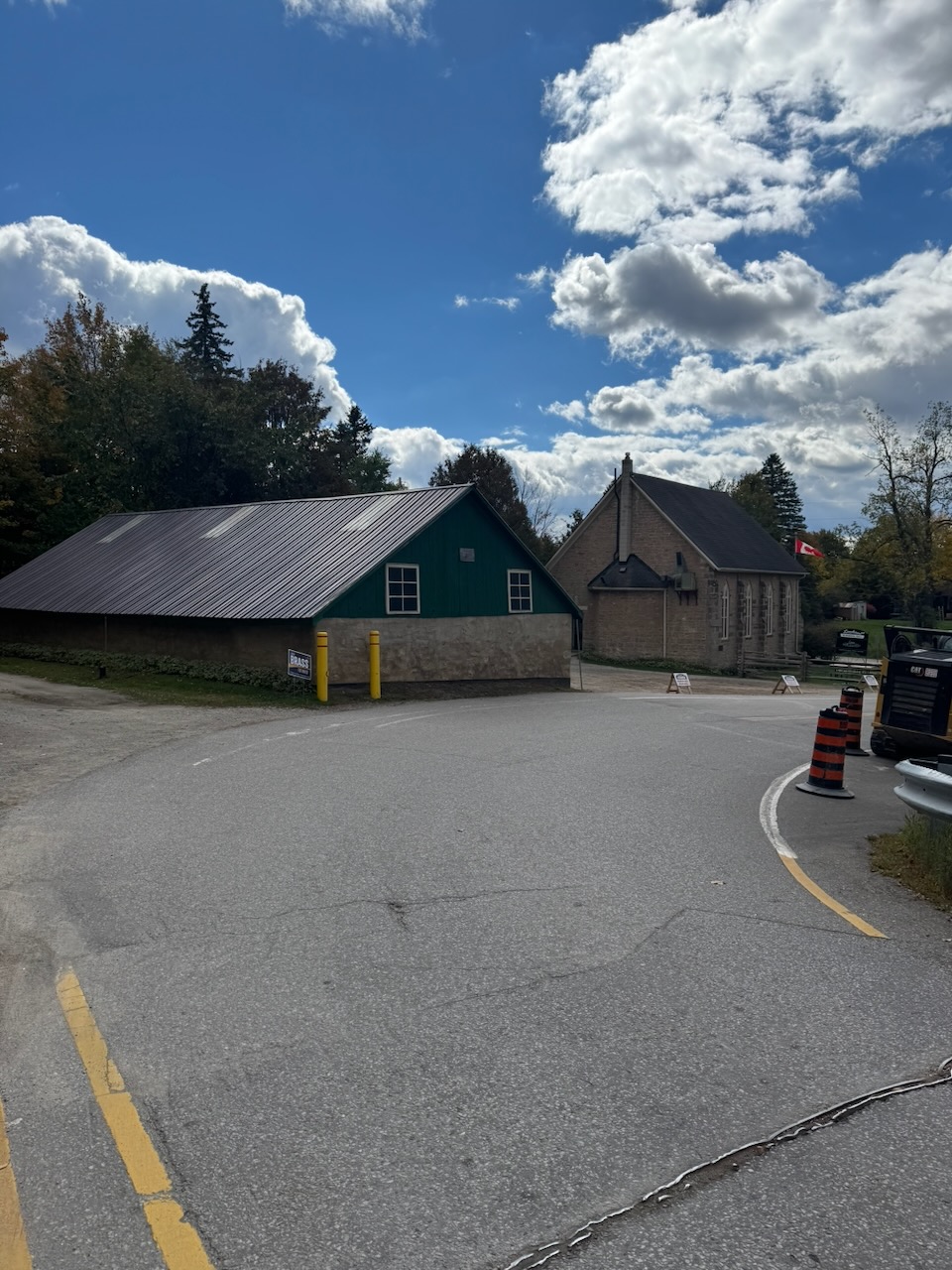
I stopped in the village of Limehouse, and immediately ran into a problem. I had no cellular data signal. This was obviously a bit of a panic, I contemplated calling someone and asking them to order me an Uber, but instead I just started walking toward Halton Hills, hoping that signal would arrive. Thankfully I had to walk no more than a kilometre before my phone showed a 5G signal. There was no issue finding a driver, but after 15 minutes the driver hadn’t moved. I tried messaging and calling but got no response. Thankfully the Uber app now gives you an option to “request a new driver”, which I did. Waiting for the new driver to arrive meant I spent about 40 minutes just waiting. Including the drive back, it was after 2PM by the time I got to my car. The parking lot at Glen Eden was now absolutely rammed, to the point they needed traffic wardens. I went to McDonald’s and scarfed down a “snack wrap” for a late lunch. It was only five dollars for a “meal” and not bad actually.
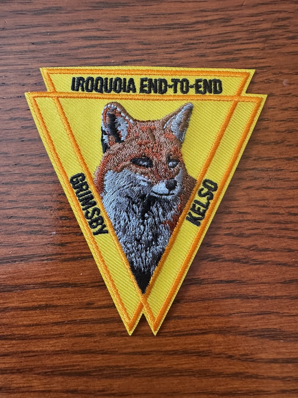
My Iroquois end-to-end badge arrived!
Notes for next time:
- As the sun rises later and later in the day, it would be a good idea to pack a lunch of some kind that isn’t trail mix.
Only 642.7km to go!