Hike the Bruce Trail Day Five: Vineyards, Vultures, Vader’s Day

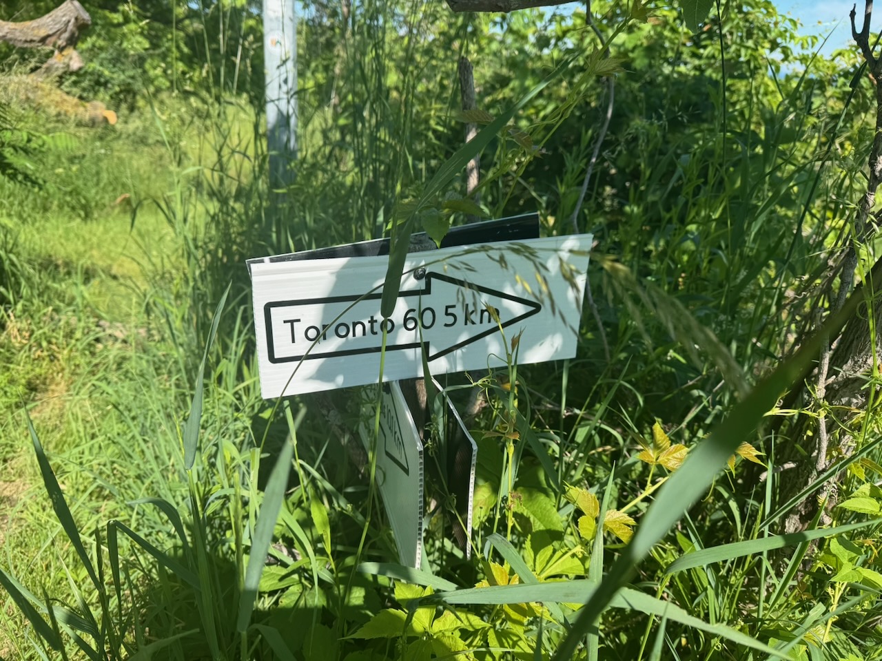
The first thing I noticed today was that it took less time to drive to my starting point. I’m very slowly getting closer to Toronto. Eventually, somewhere around Halton Hills, I’ll hit the closest point and then start moving away again.

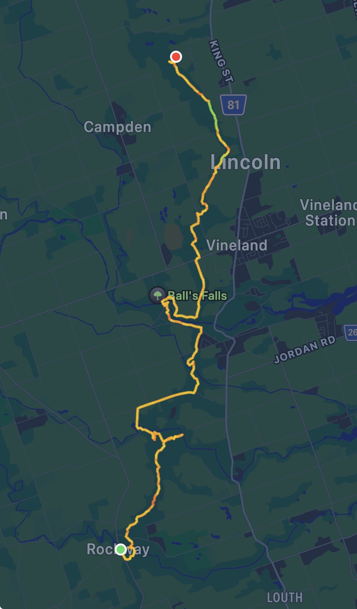
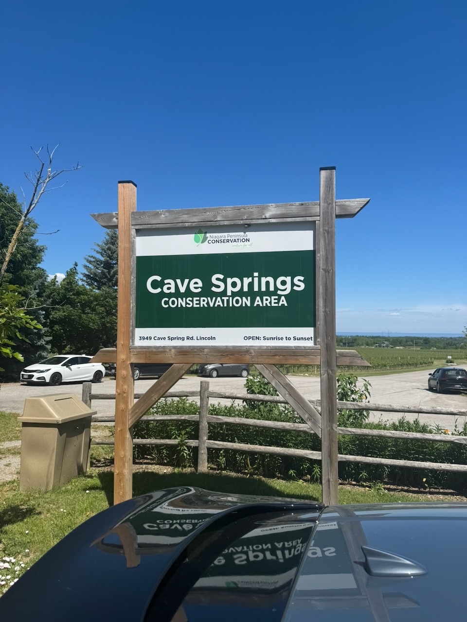
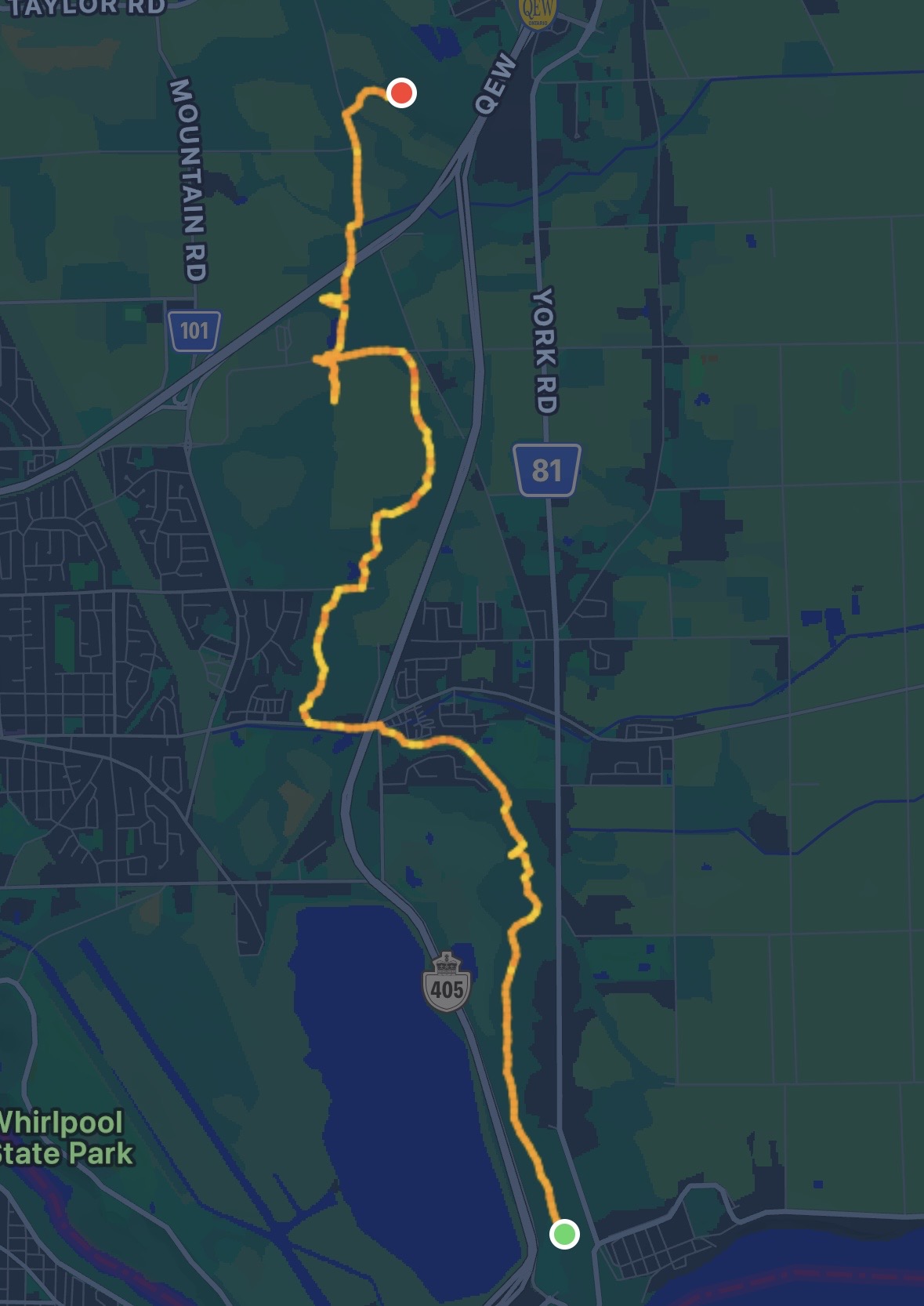
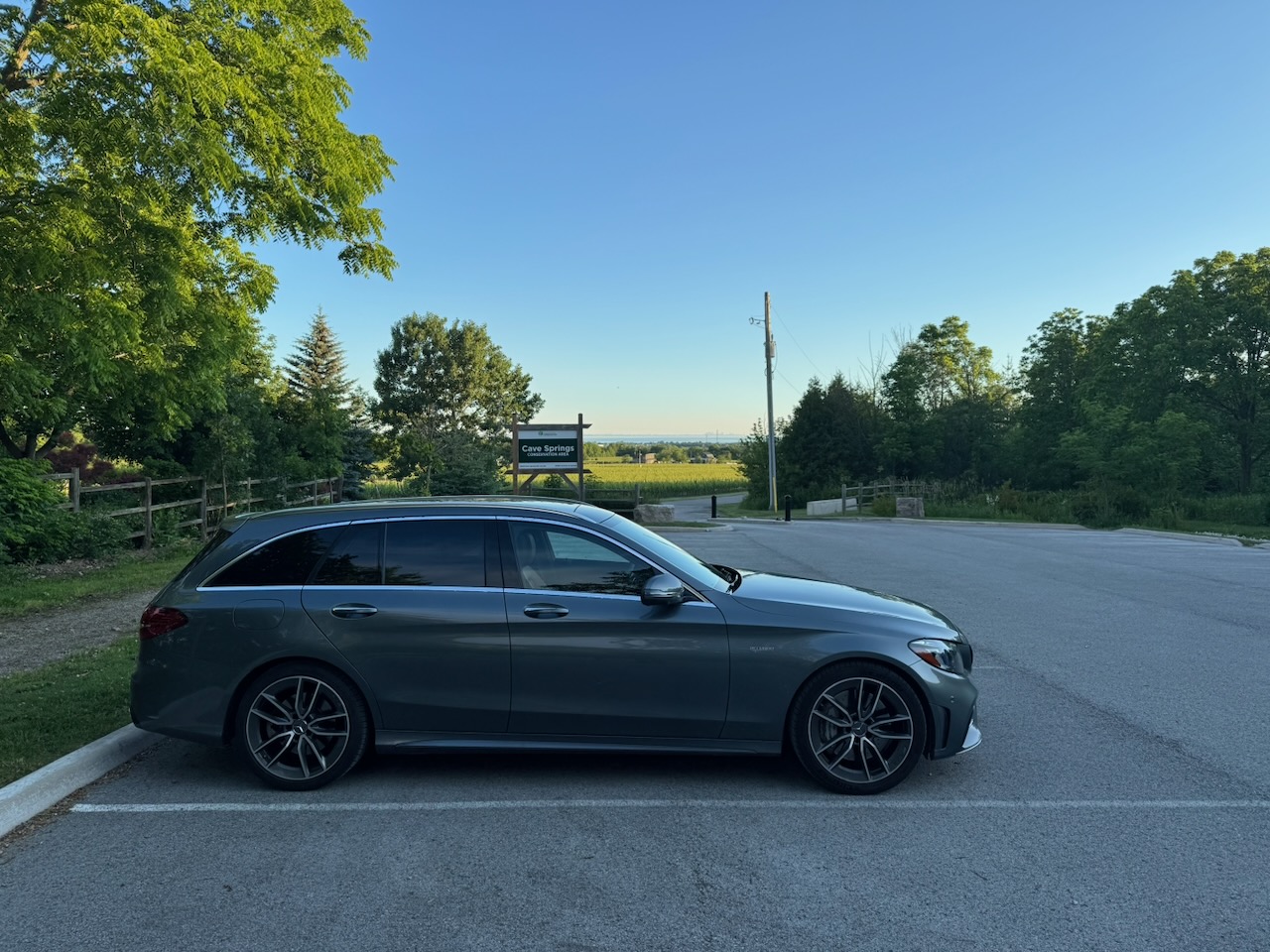
Start: Cave Springs Conservation Area

End: Beamer Memorial Conservation Area

Distance: 20.4km

Weather: 21C and partly cloudy
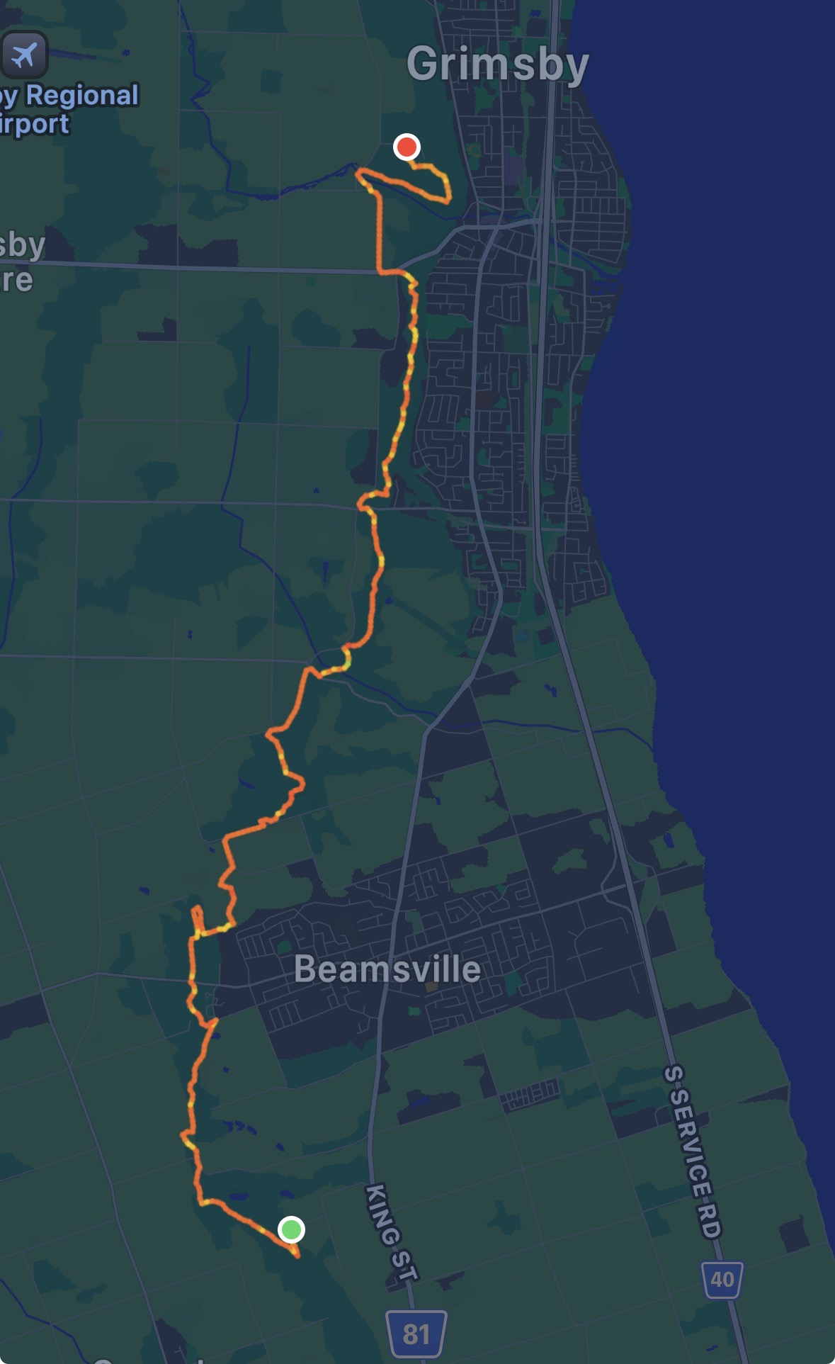
The Route

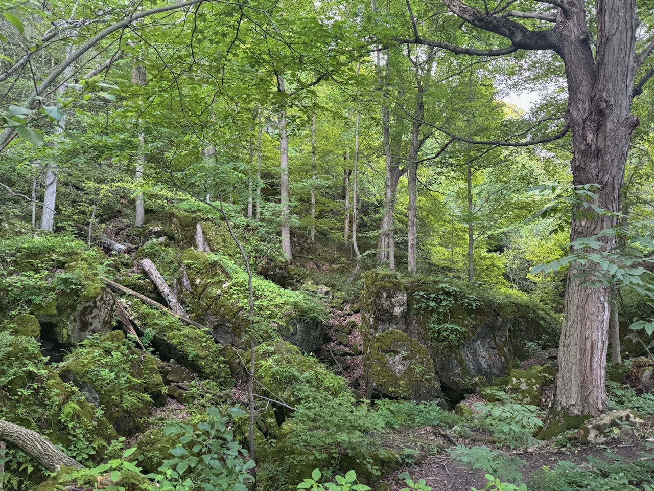
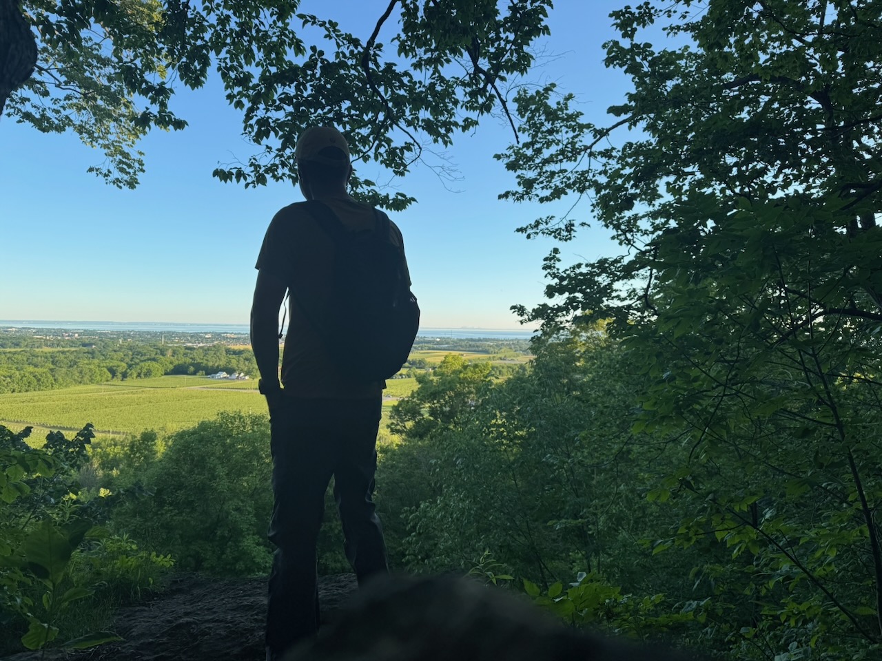
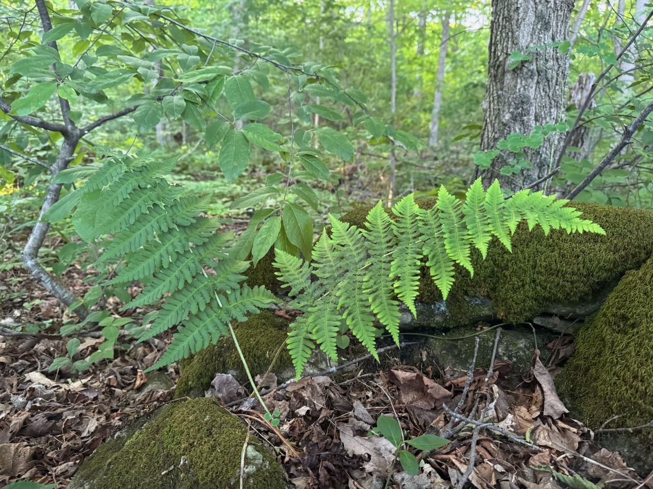
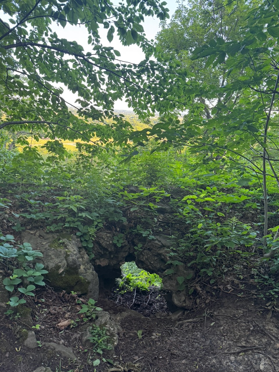
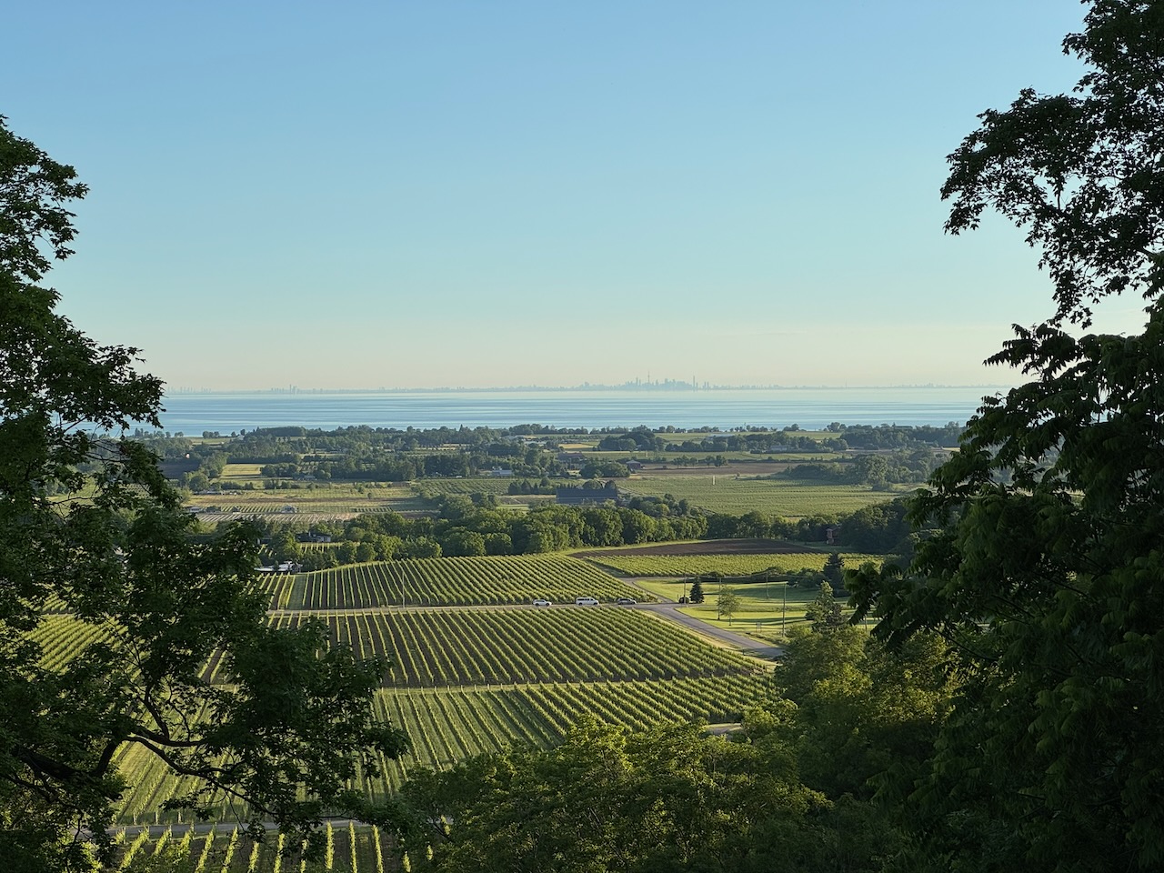
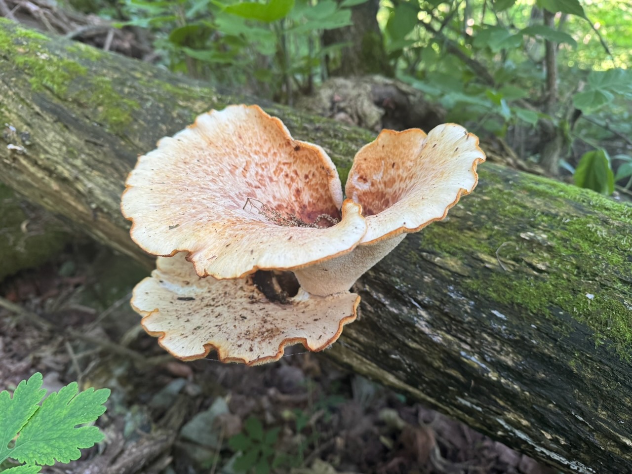
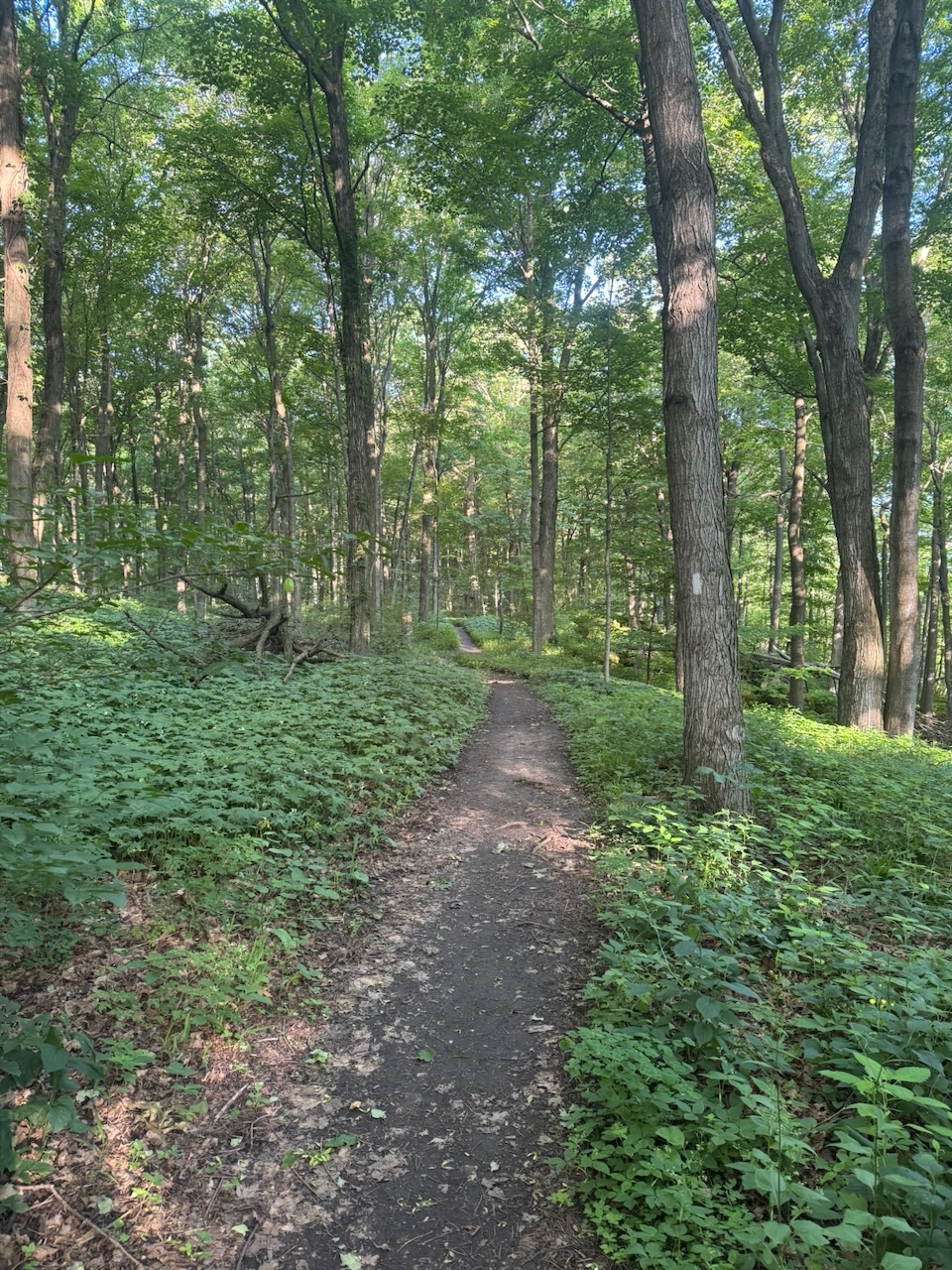
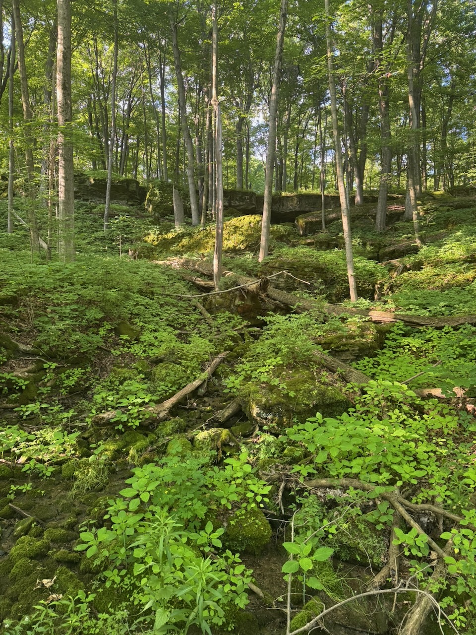
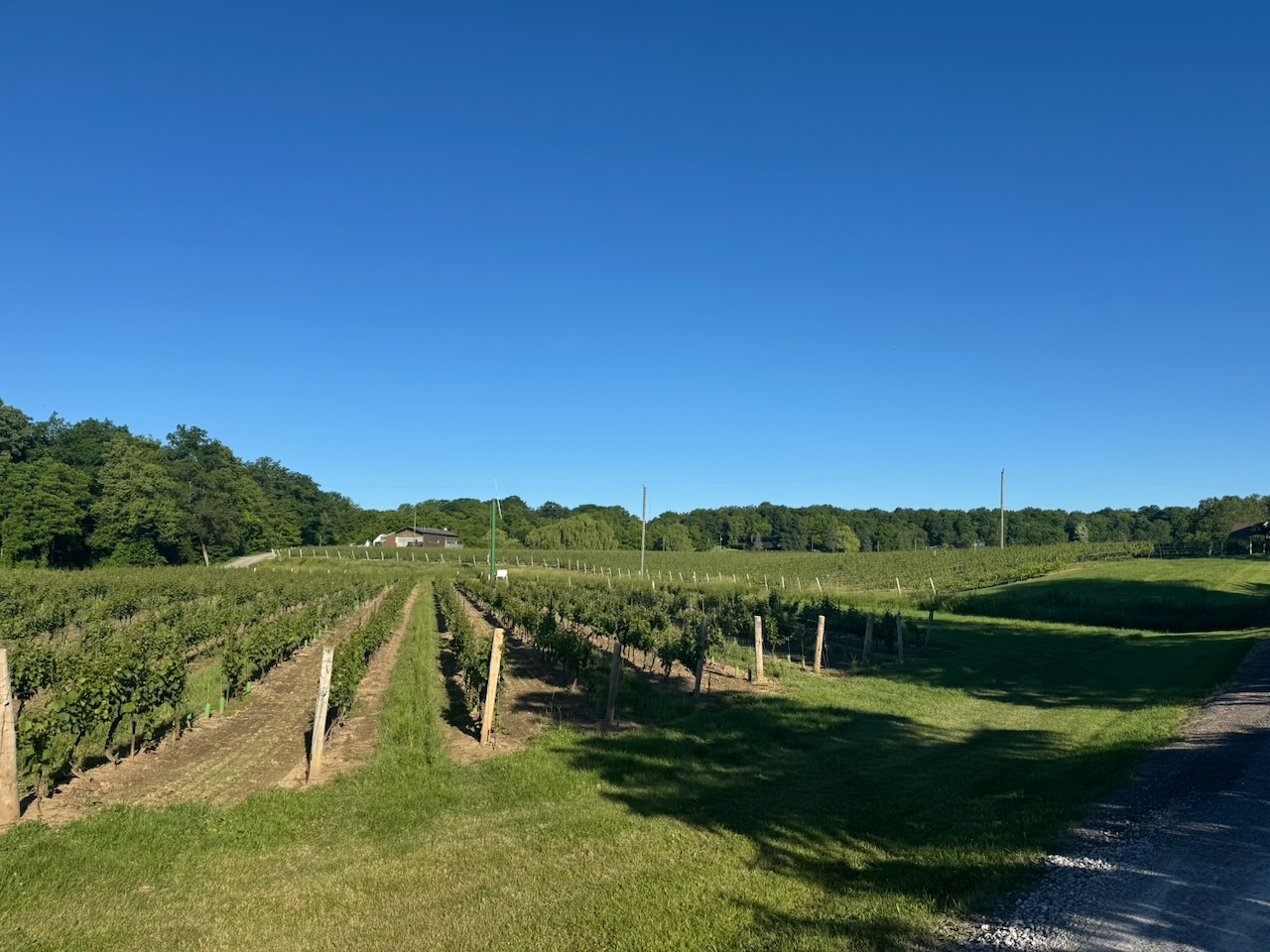
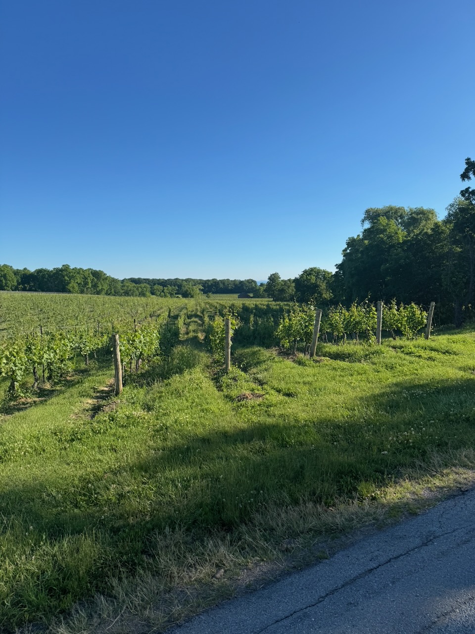
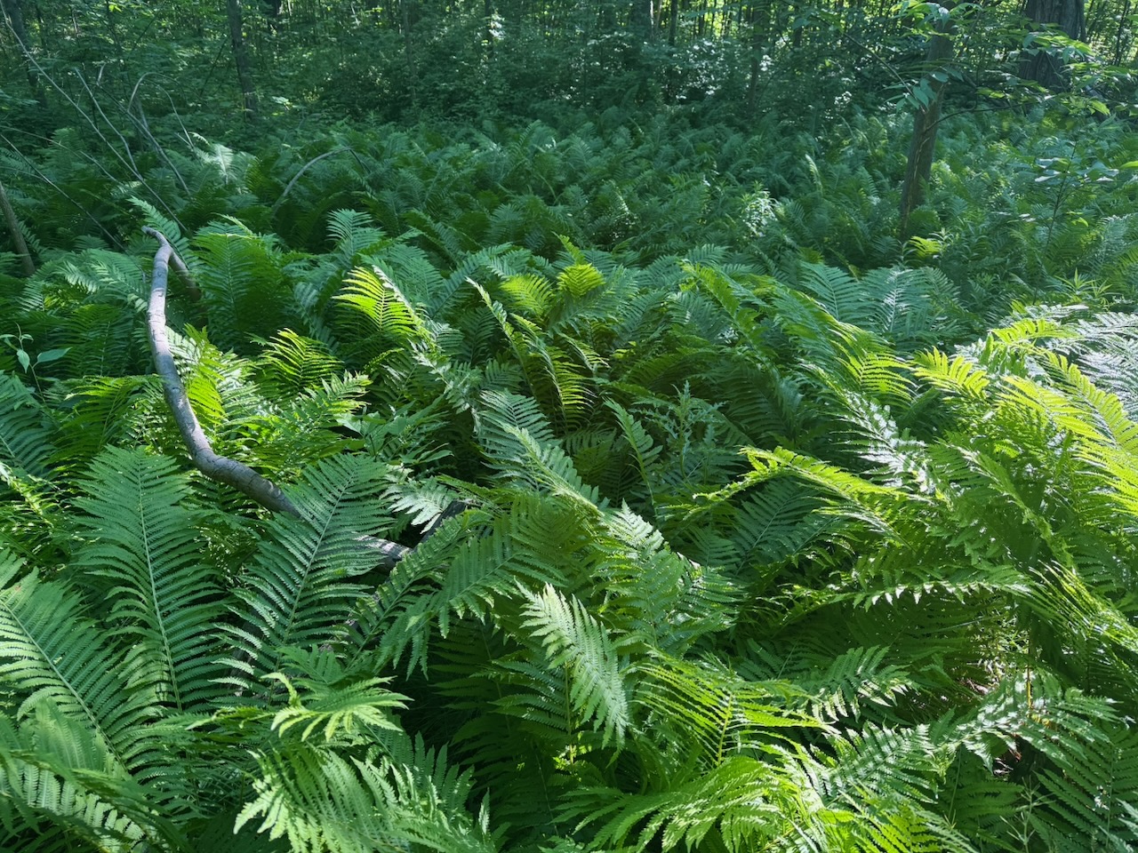
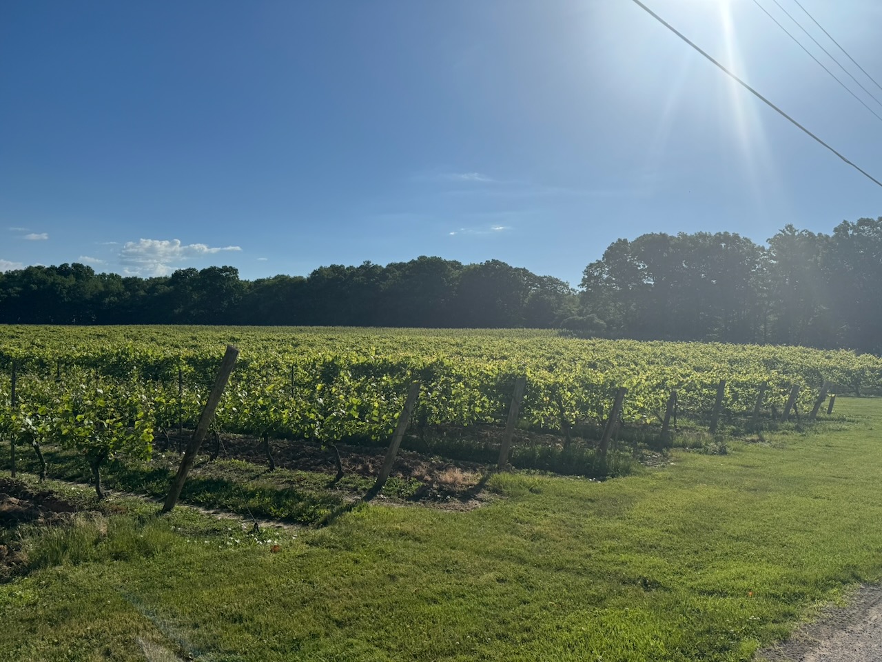
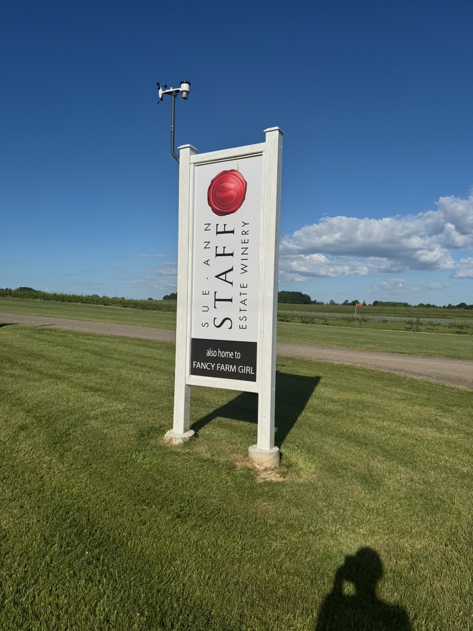
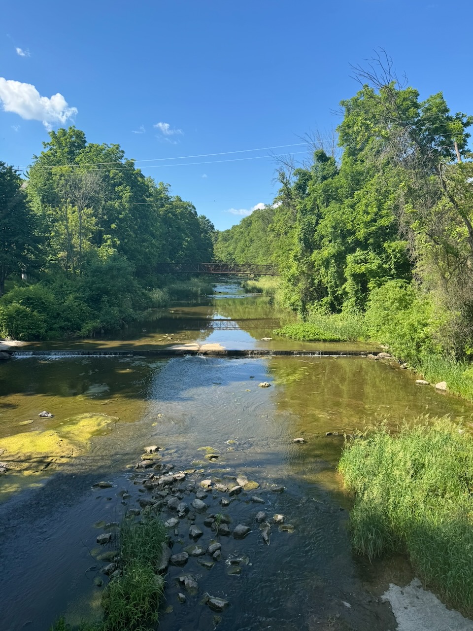
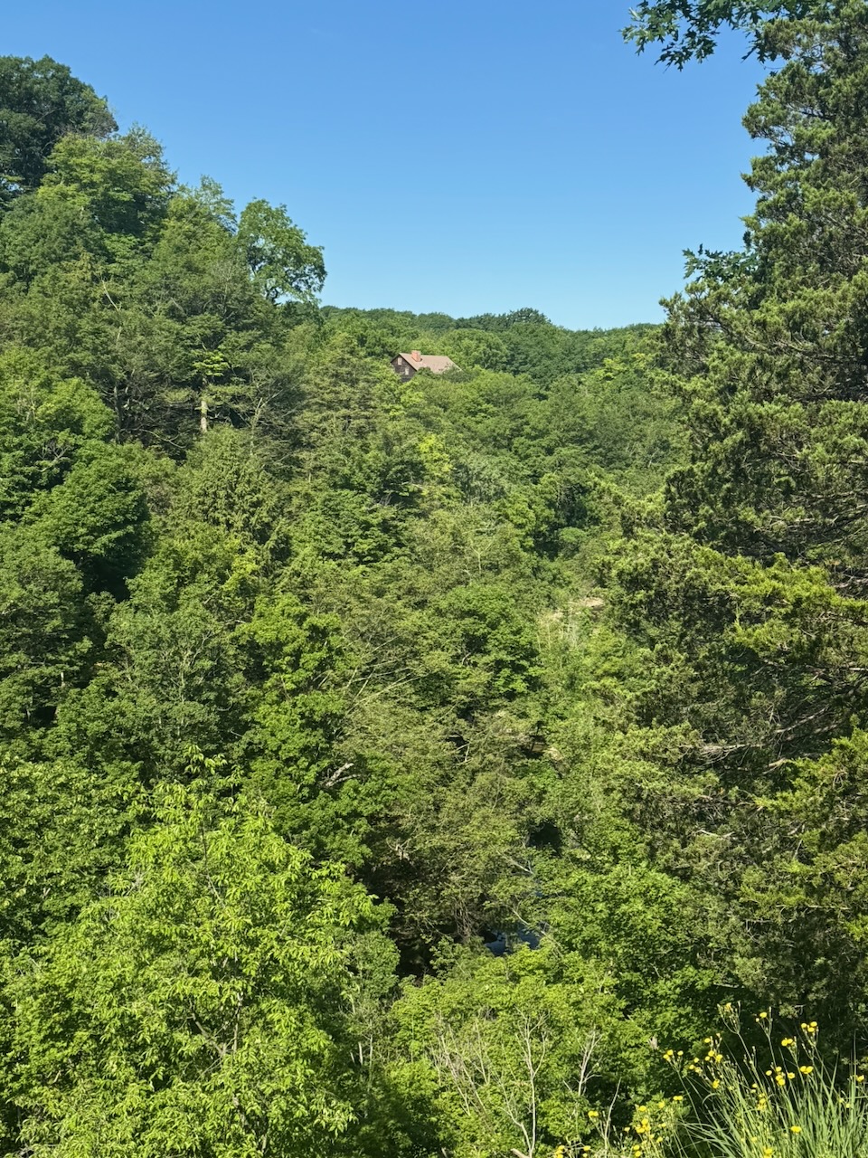
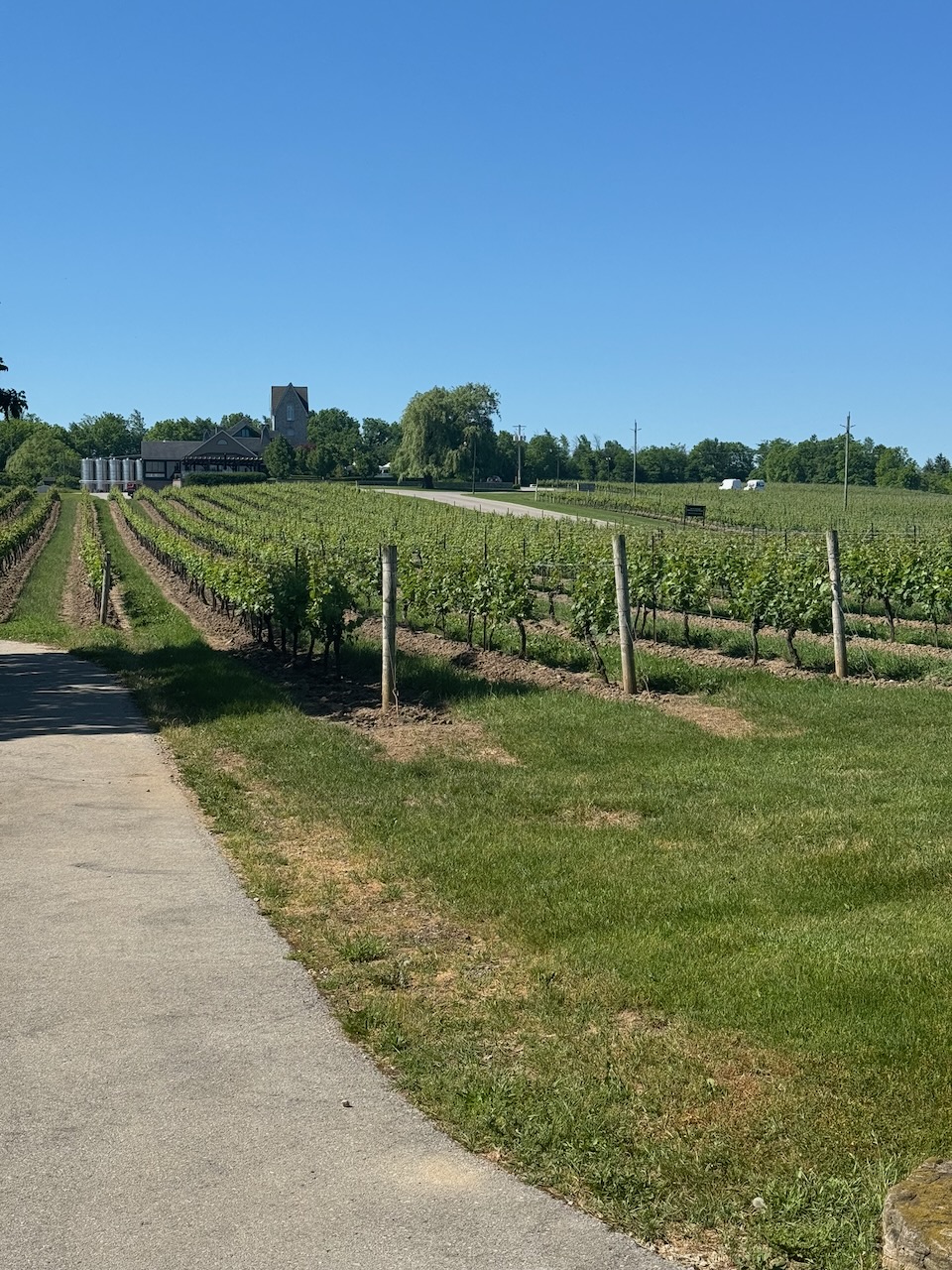
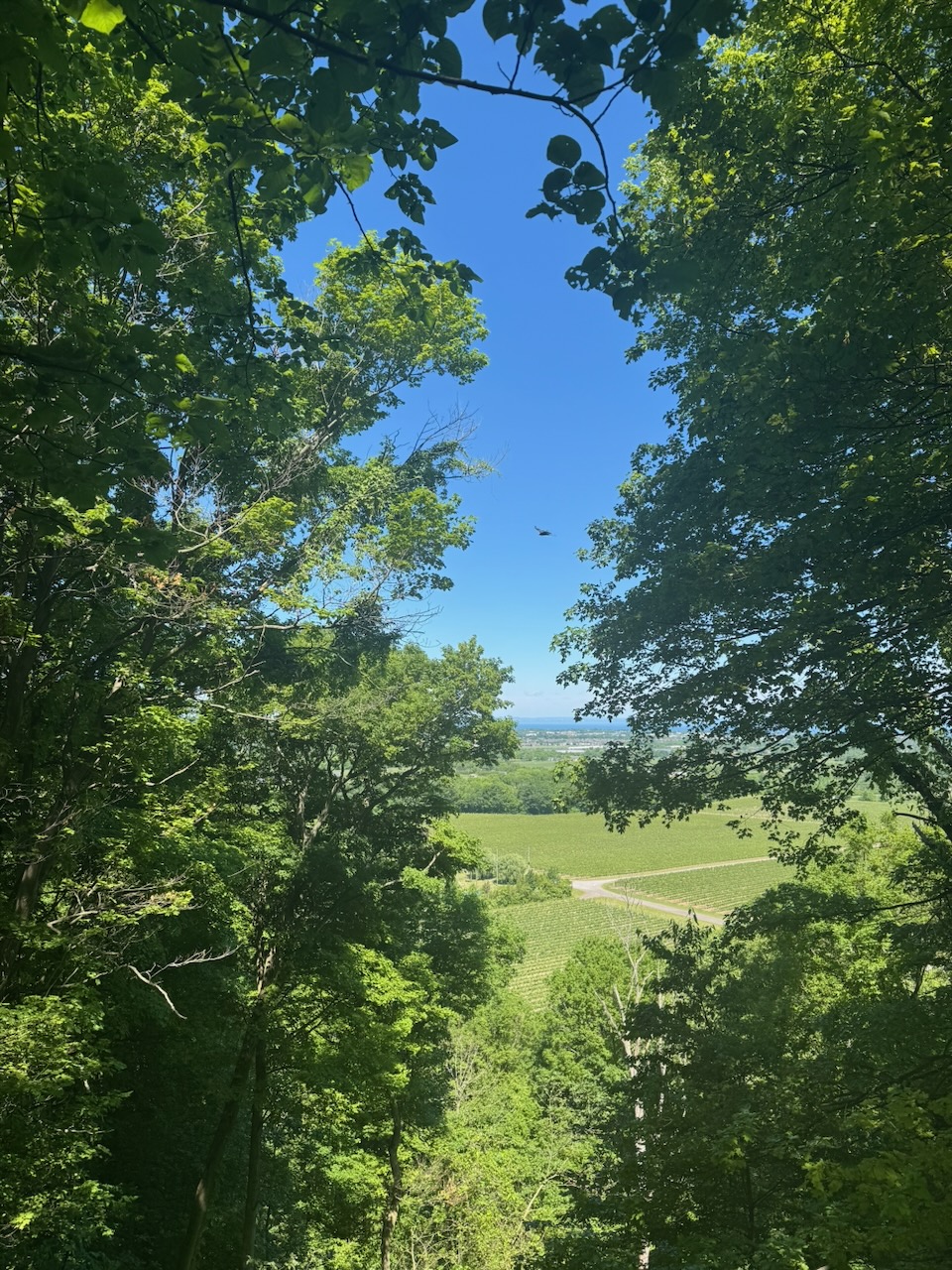
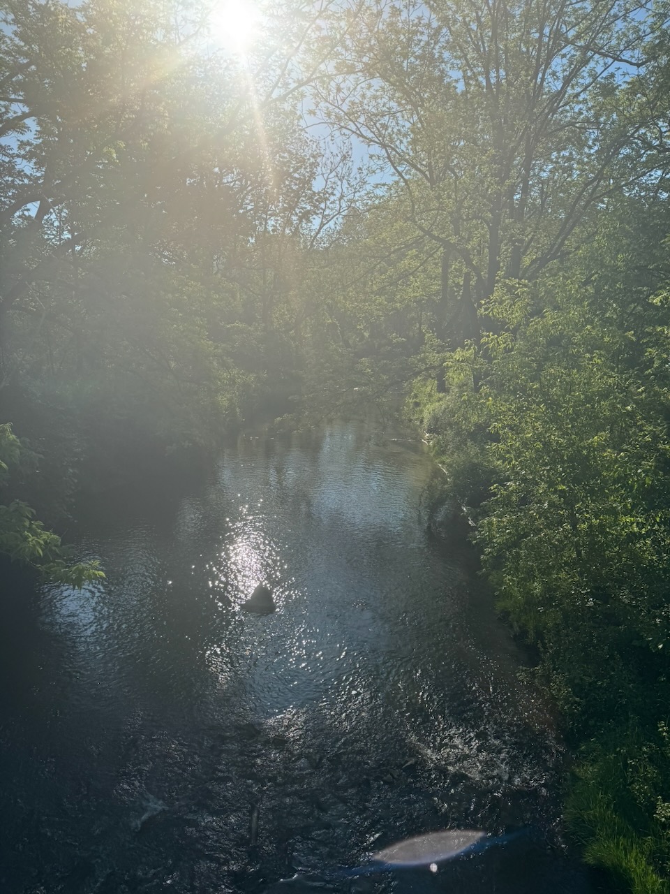
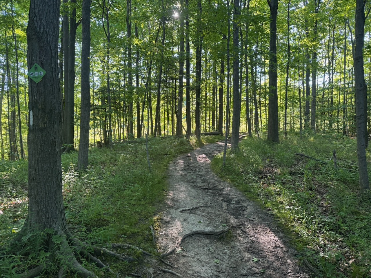
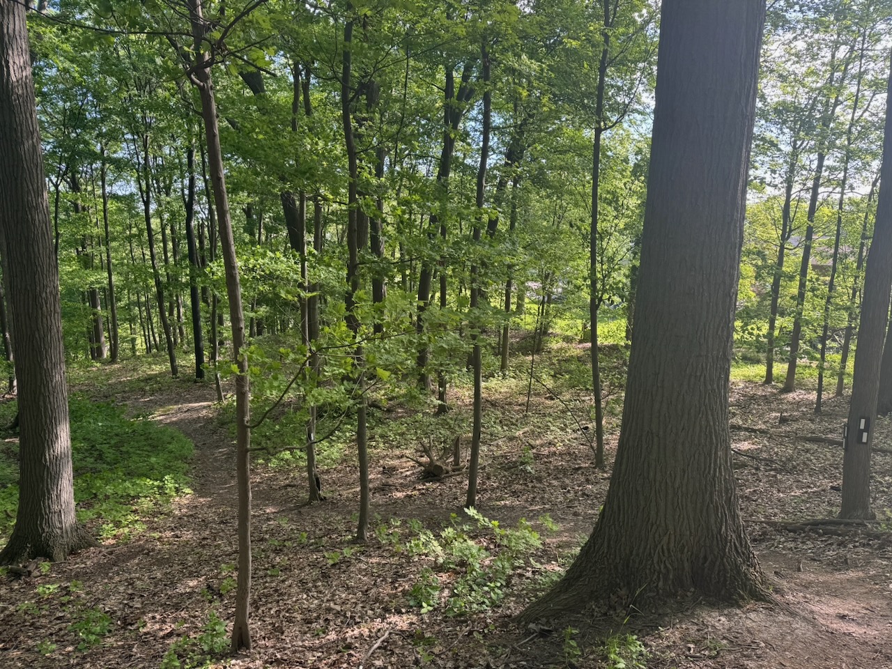
The hike started with some beautiful views out over the local vineyards to the lake. It was quite striking with the sun coming up. For some reason I really noticed the ferns on this hike. I don’t really have anything interesting or funny to say about that, there were a lot of ferns. If anyone is reading this (ha!) and knows a good fern joke let me know. I’ve also been on the lookout for interesting mushrooms/fungi, but I haven’t seen much. When I was portaging in northern Ontario as a kid I used to see all kinds of interesting fungi, but not much here. It’s possible that a well maintained trail simply doesn’t have enough decaying wood/leaf matter to foster them.

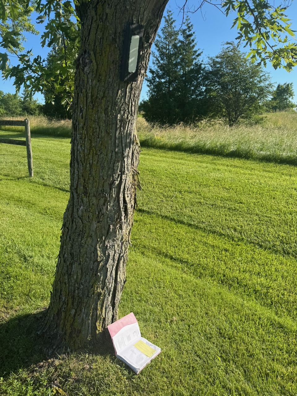
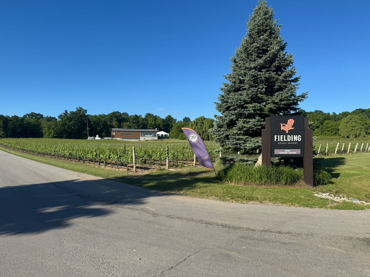
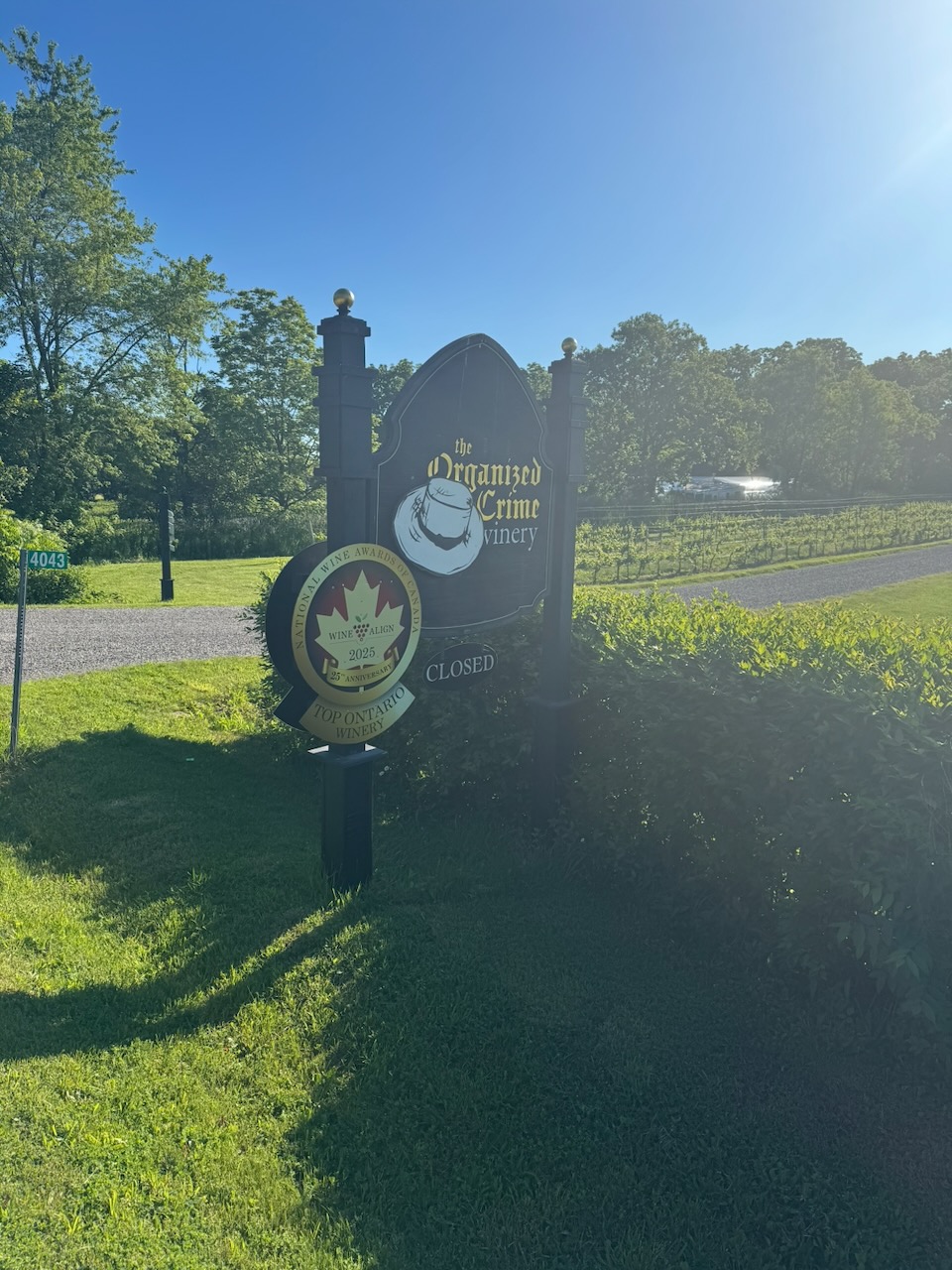
Again, there were lots of surface street sections here, many of them going right past wineries. They are all closed at 7:30AM of course. I have half a mind to bring some wine with me and each time I pass a winery, stop, and have a “tasting” of my own. Wine is mostly water, so it counts as hydration. I do not have a problem. In addition to lots of vineyards I stumbled upon a lost/discarded journal. The first page contained a Post-It Note reminding the owner to get some Ozempic.

I encountered more hikers this time than normal. Possibly because the weather was so nice, possibly because it was Father’s Day. There was a dad and his three kids who were running the trail, I caught them on the way out and back. I asked my kids what they wanted to do for Father’s Day, they said anything but hiking. So, I have some work to do there.

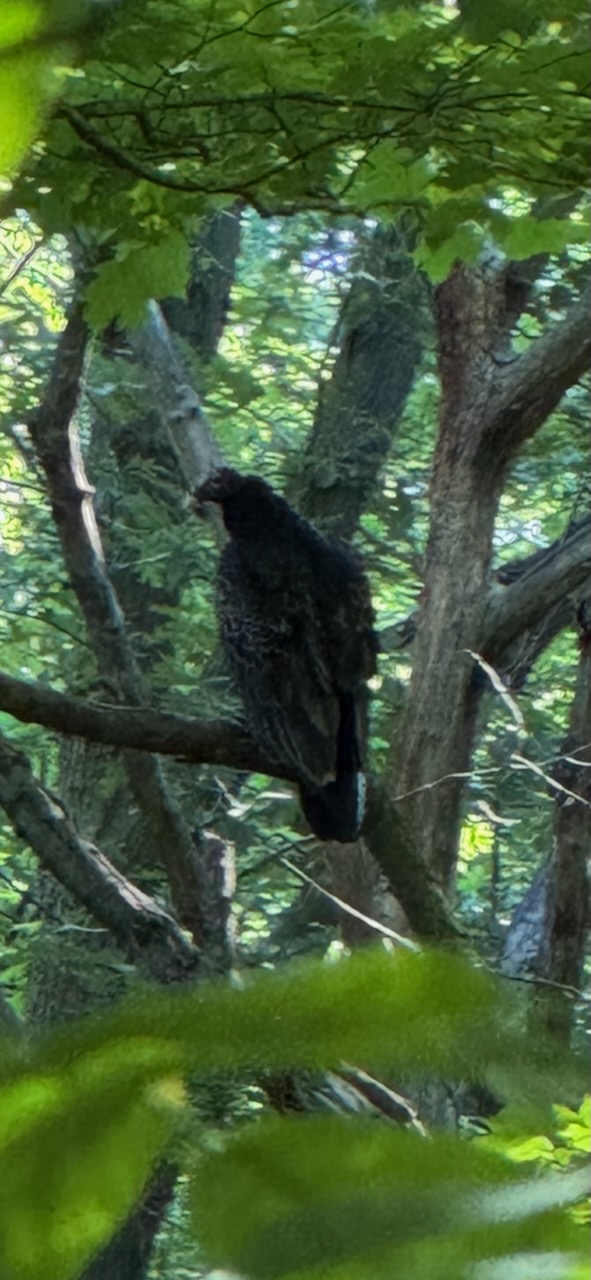
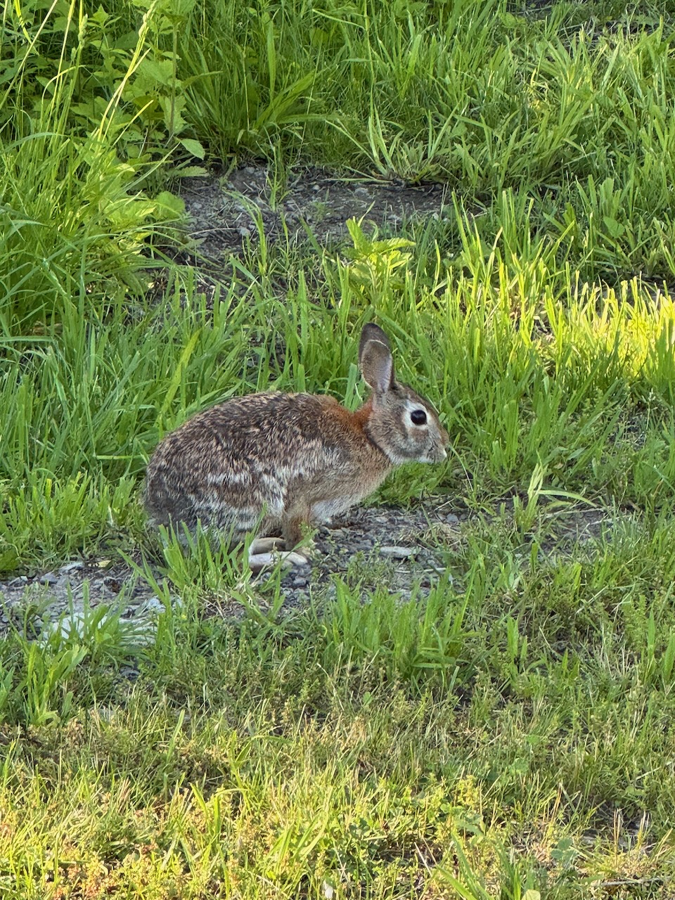
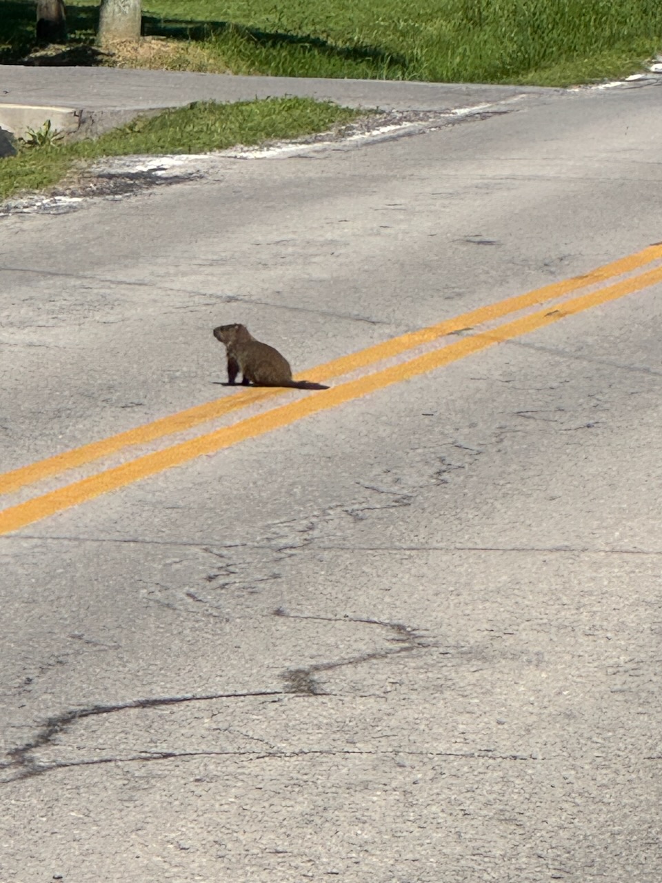
Just before Thirty Mile Creek I encountered my friends from the previous hike, the two vultures. I managed to snap a photo of one this time. I have no reason to believe these are the same two as the last time, but I’m going to anyway. Most people would think that having a pair of vultures shadowing them would be a bad sign. But we don’t really know what vultures are like, maybe they’re nice. They may even provide meat rain from time to time, so that’s good. I also happened upon a groundhog who came out on the road to sun himself.

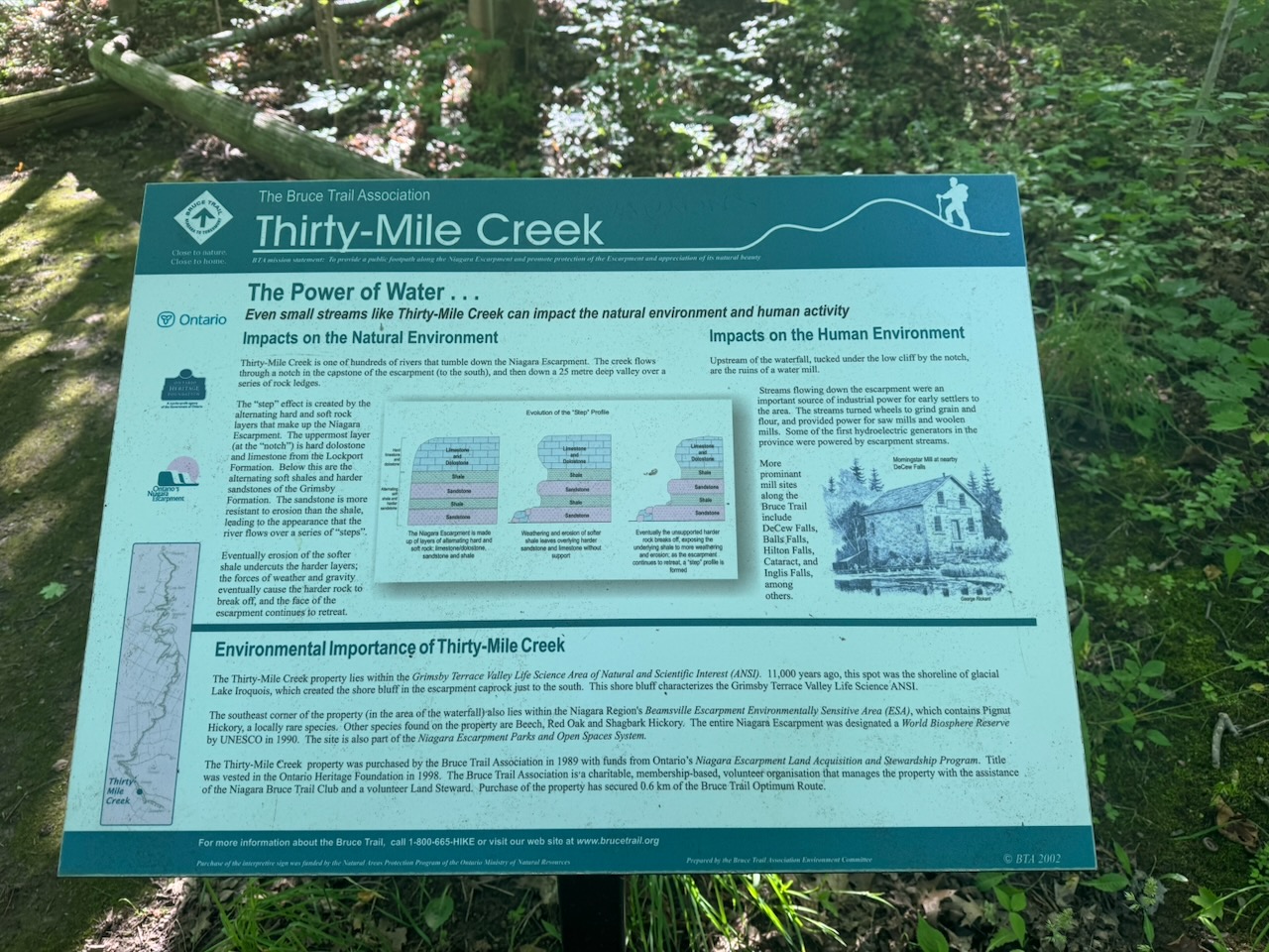
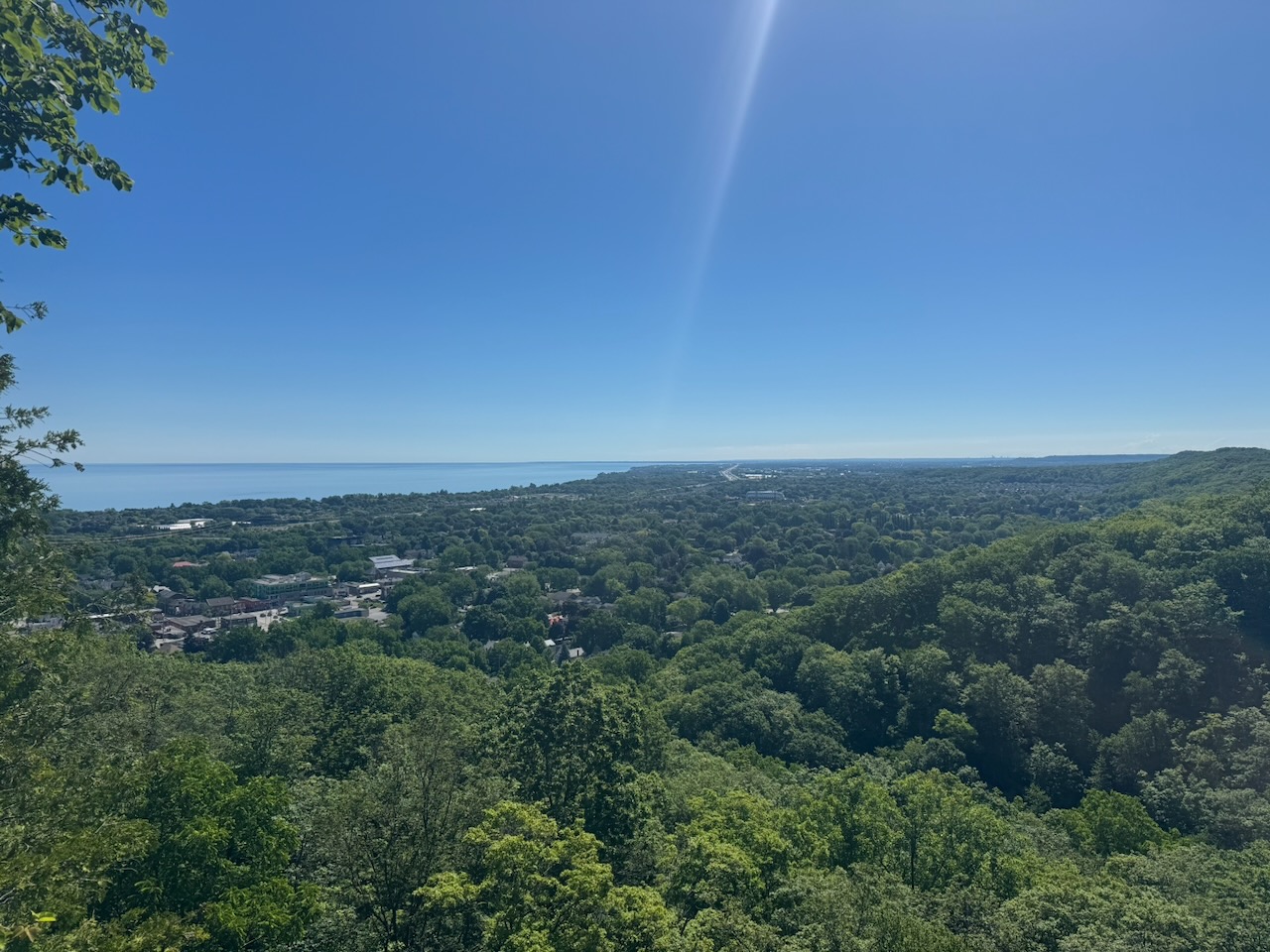
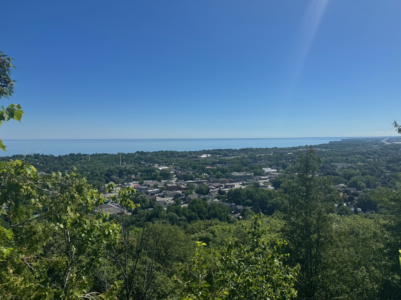
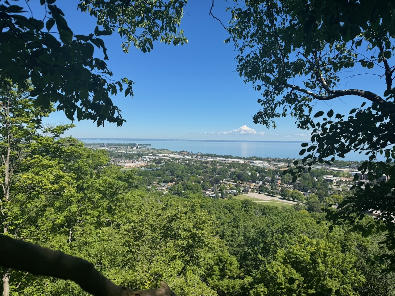
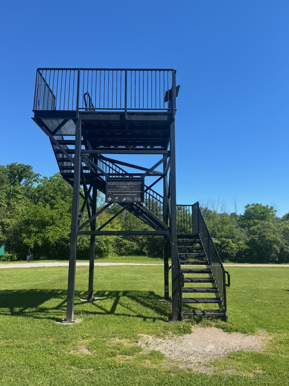
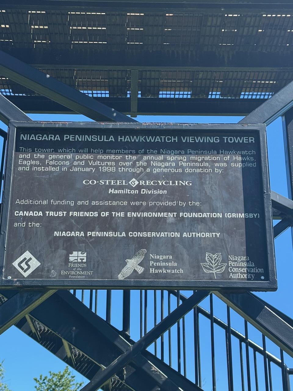
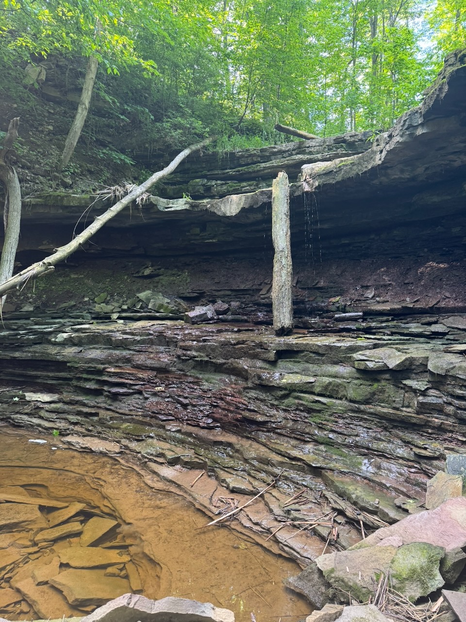
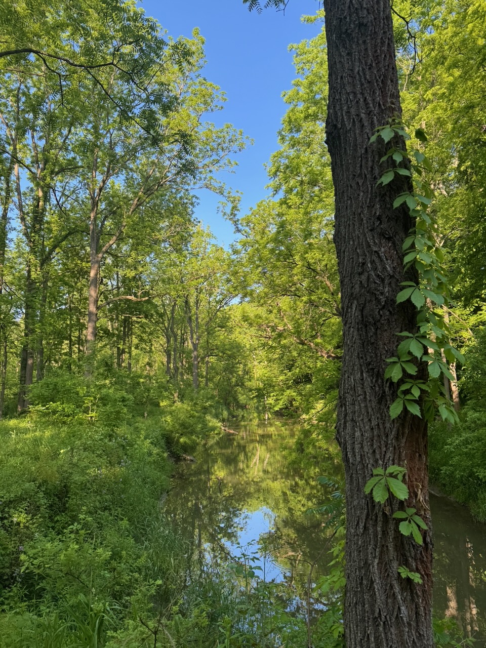
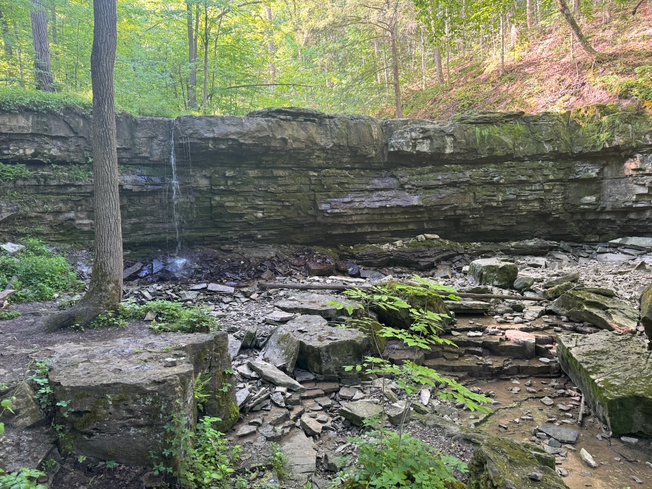
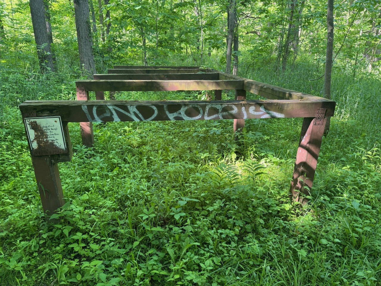
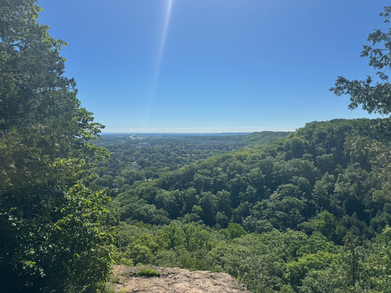
After Forty Mile Creek I had a choice. The main trail goes in an eastbound loop out to the edge of the escarpment. However, I could cut about 1.8km off my hike by taking a side trail “short cut” to the next parking lot. I resolved that my goal was to hike the main trail, so I did. I was richly rewarded; the trail goes right to the edge of the escarpment where the creek cuts it in half. There were gorgeous views out over the town of Grimsby and Lake Ontario. They even had elevated viewing platforms. Just before the parking lot there was another elevated platform for the “Niagara Peninsula Hawkwatch”. I climbed it but didn’t see any hawks. Worst. Hawk platform. Ever.

When I requested an Uber to take me back to my start point I really thought I’d had it. I got the “we’re trying to find you a driver” message, where I was just waiting. I did finally match with a driver who was 25 minutes away. Amazingly he showed up and was really interested in the trail and what I was doing. The next few hikes transit Hamilton so it shouldn’t be a problem, but it was a nail biting few minutes.

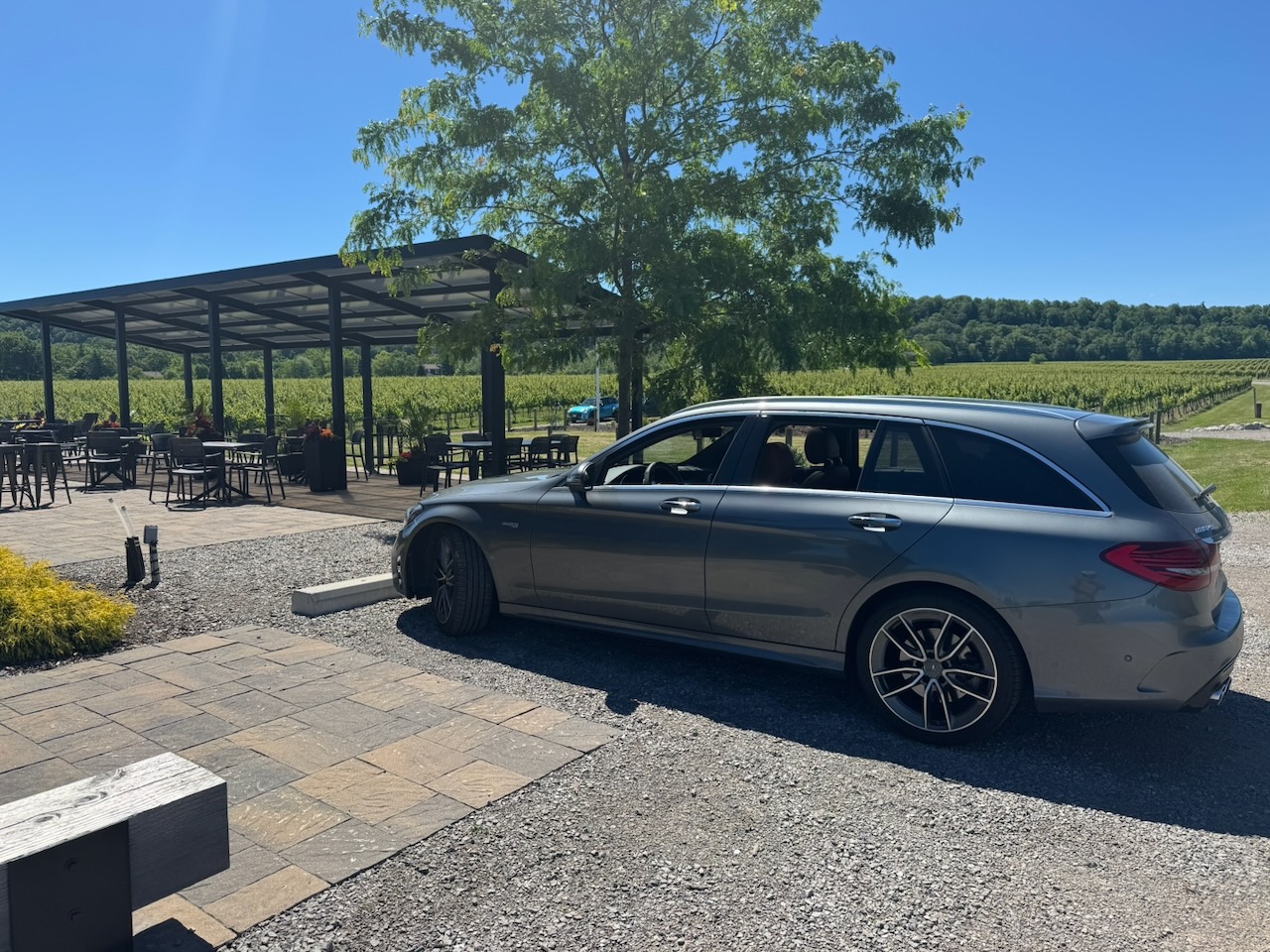
Right next to my start point was the Cave Springs Vineyard tasting room and it happened to be open by this time. Of course, I tasted some wine and brought home a few bottles. It was Father’s Day after all.
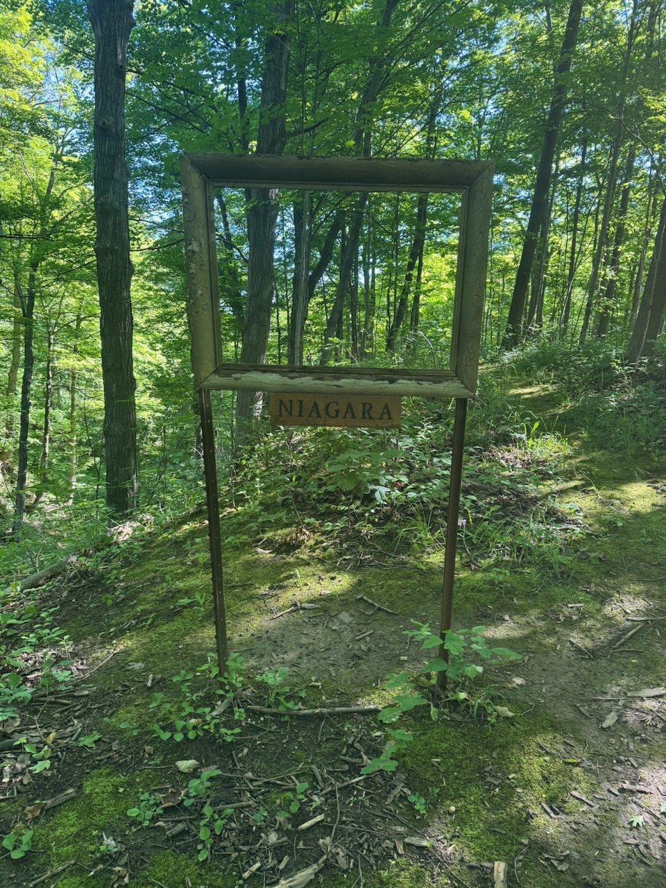
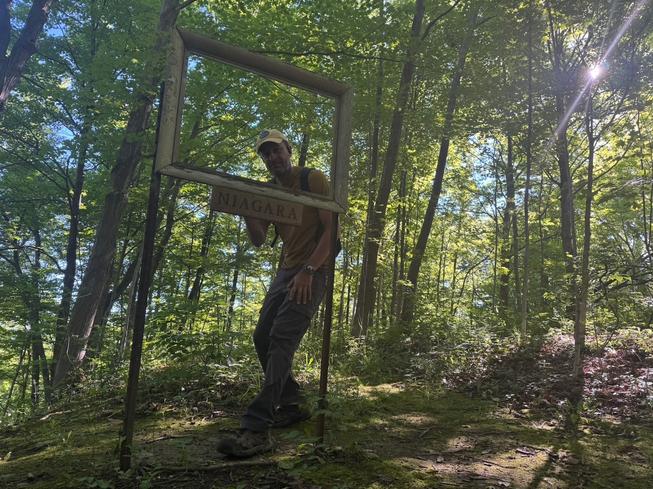
As far as I can tell I have now completed the Niagara section of the trail and can apply for my “all the way” Niagara badge! Pictures to follow.

I thought of one. Why is a forest floor covered in ferns said to be “richly” covered? Because they out f-earn all the other plants. insert audience silence with lone person coughing sound

Only 797.4km to go!
Hike the Bruce Trail Day Five: Vineyards, Vultures, Vader’s Day

Hike the Bruce Trail Day Four: Wild, Life

Up by 5AM and this time my body was ready for it, so no need to pack the bog roll. I applied my sunscreen and insect repellant before leaving the house, which was good because it was a beautiful sunny day.

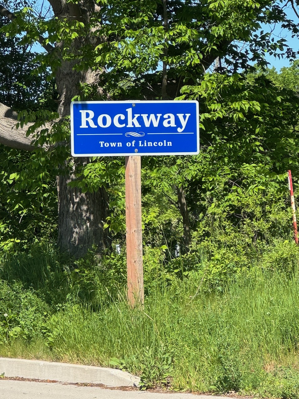
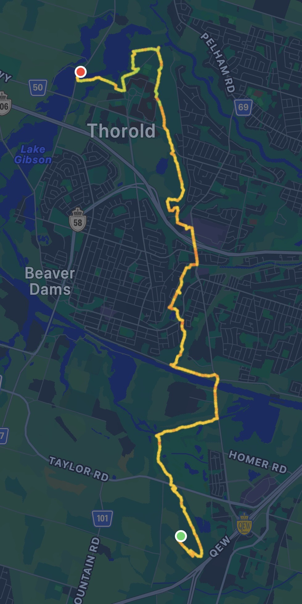
Start: Rockway Conservation Area

End: Cave Springs Conservation Area

Distance: 21.3km

Weather: 27C and sunny

The Route

The highlight of the day happened within the first minute. As I was walking away from the car I spotted out of the corner of my eye what looked like a deer crossing the street. Upon closer inspection it turned out to be a fully grown, bushy tailed, male eastern coyote! Unfortunately it ran off before I could get a picture. I had no idea they grew that large, happening upon one in the woods would be pretty frightening for the timid. I doubt they would threaten or attack anything other than a small child though. Take note small children: If you are hiking the Bruce Trail alone carry a semi-automatic rifle!

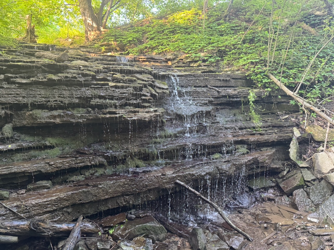
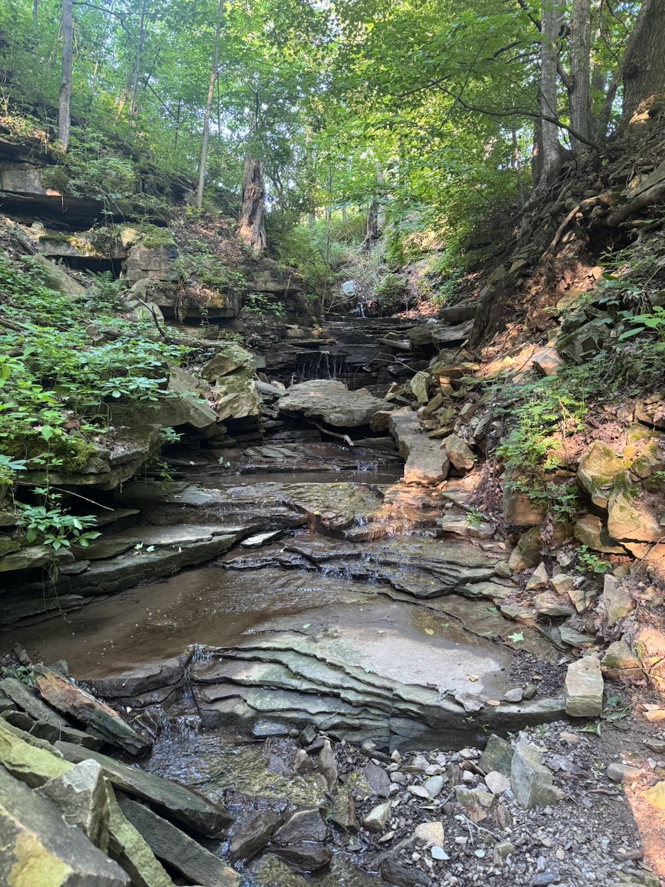
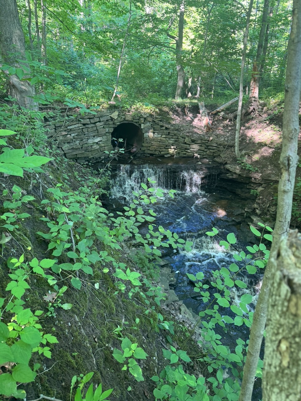
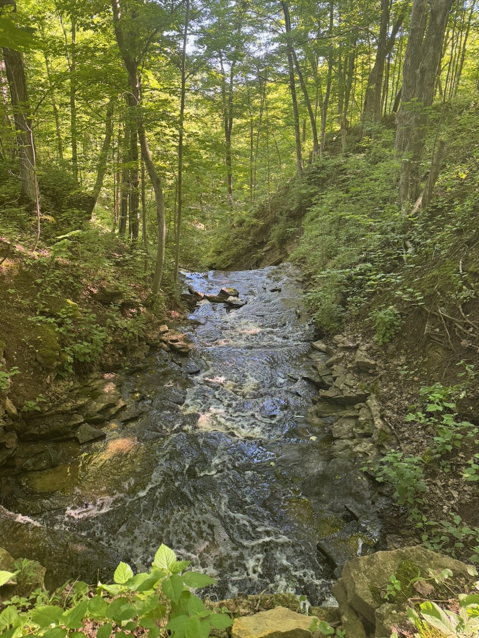
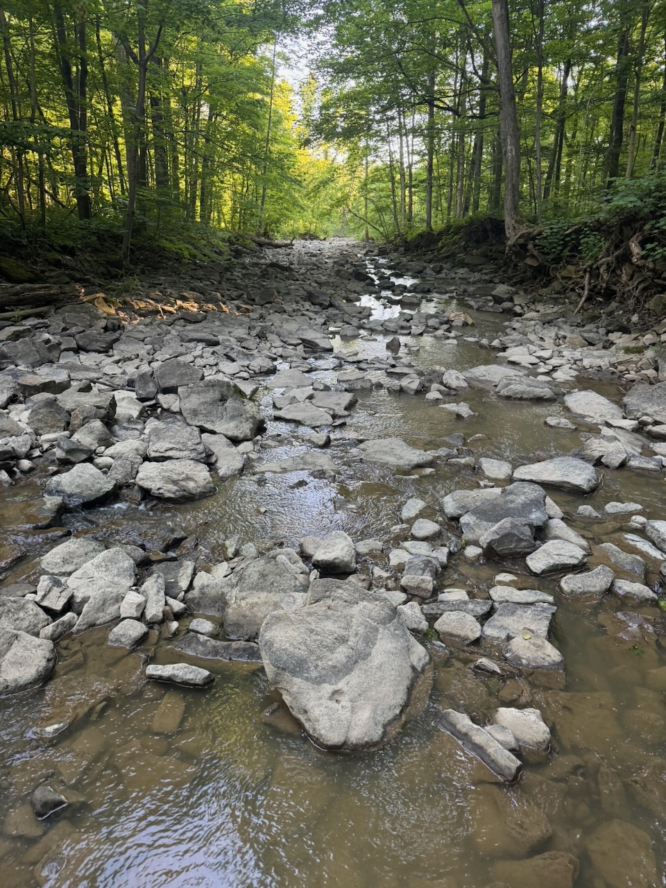
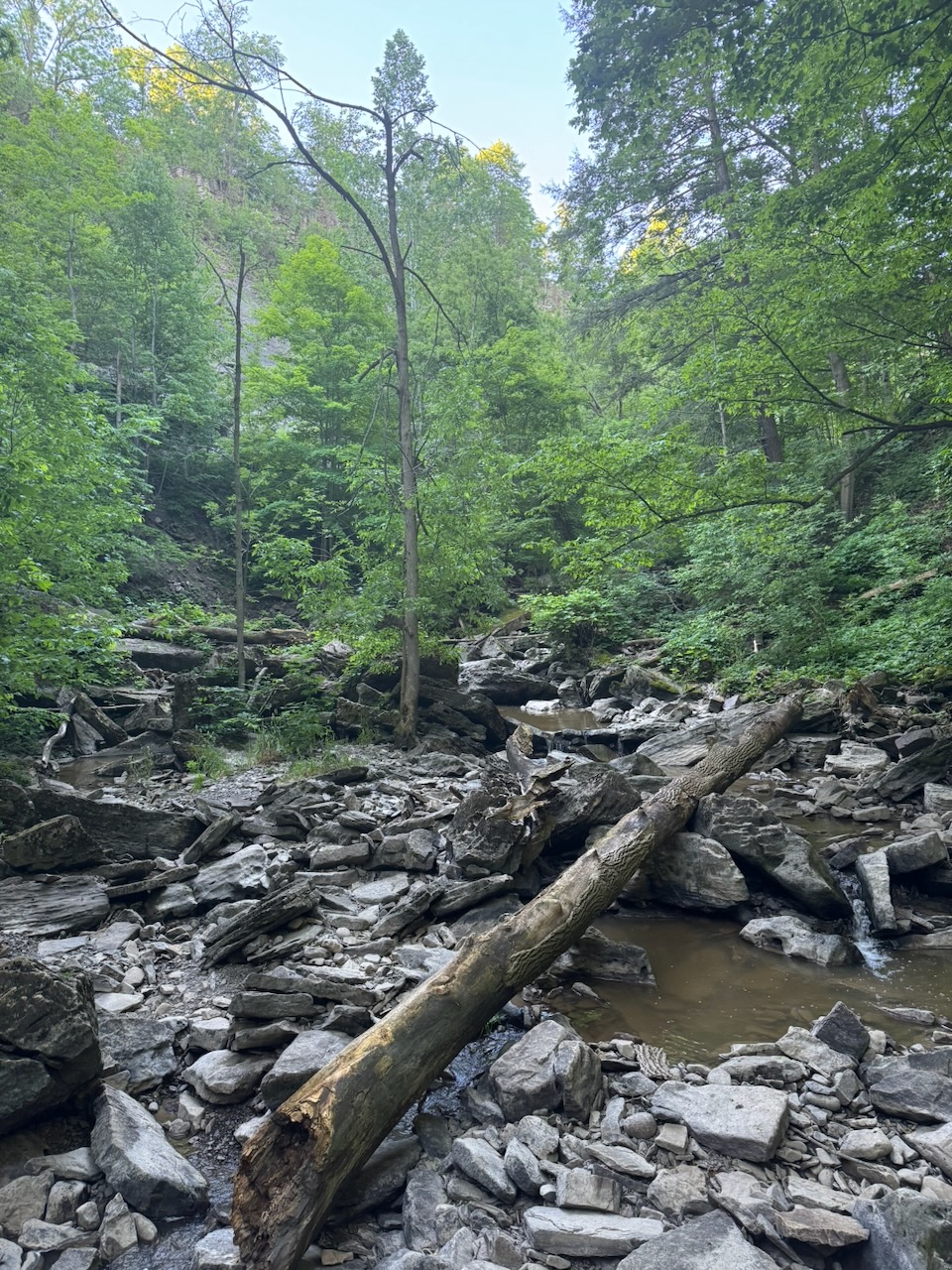
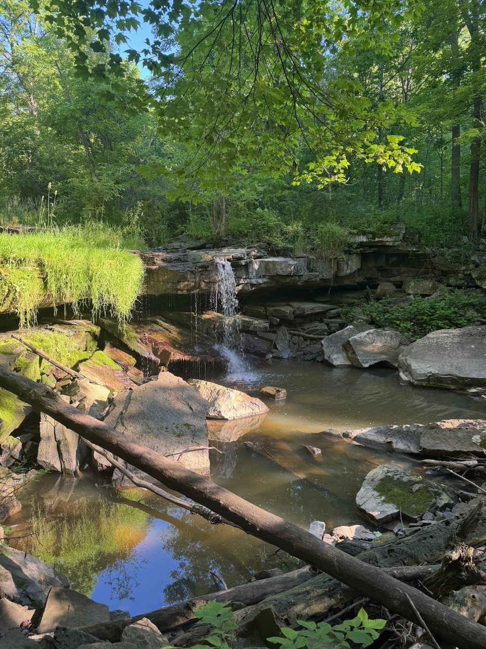
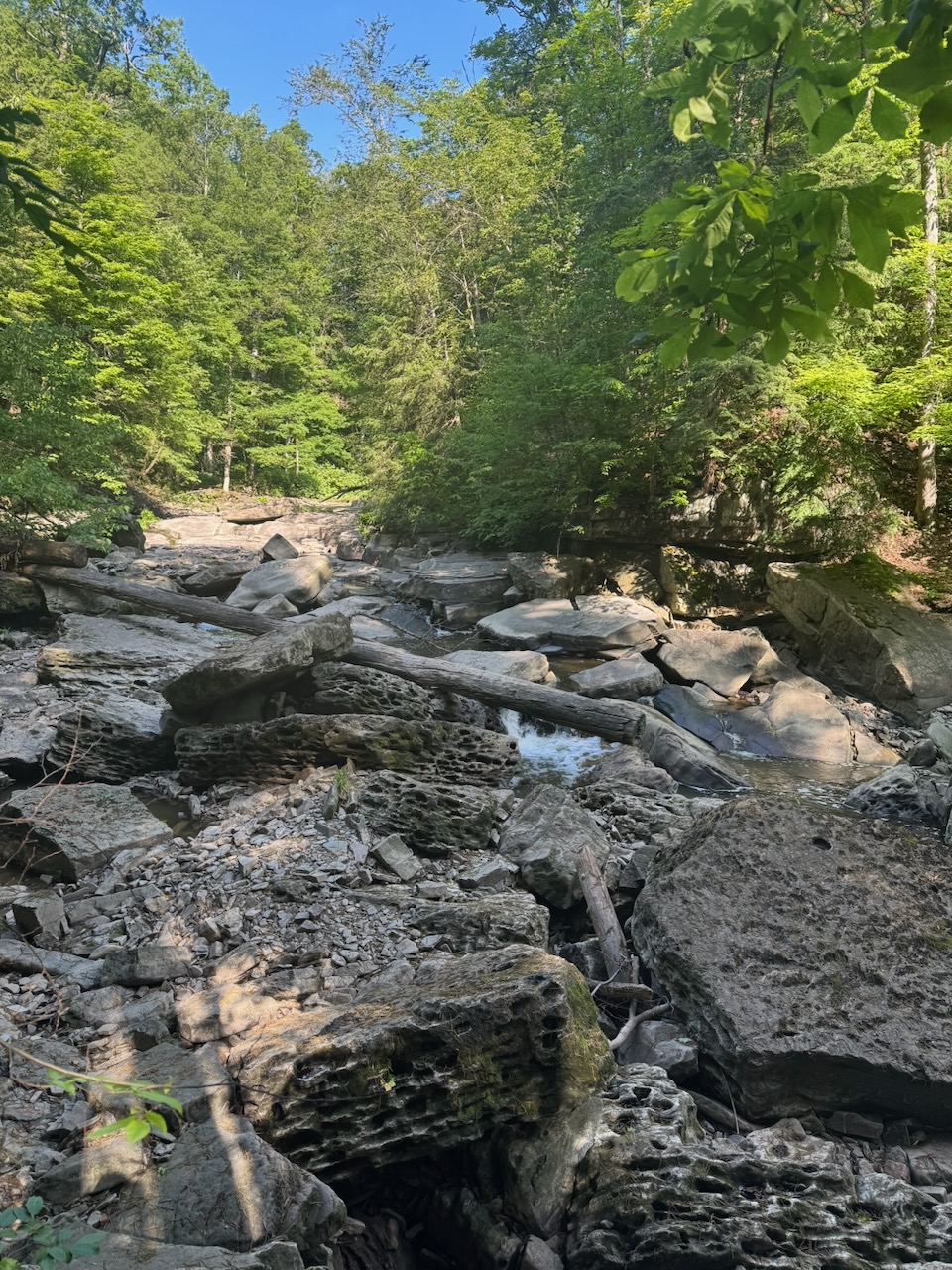
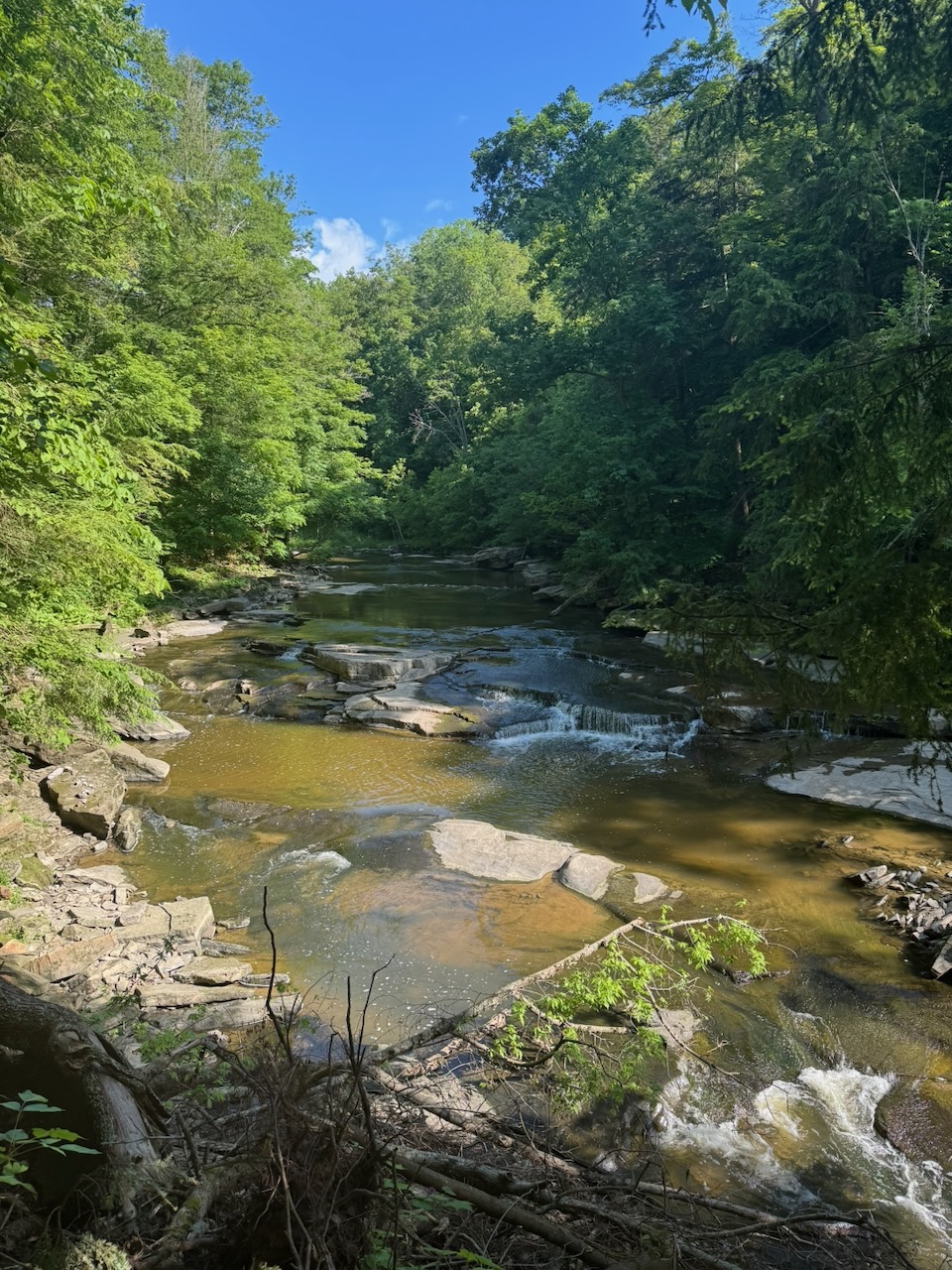
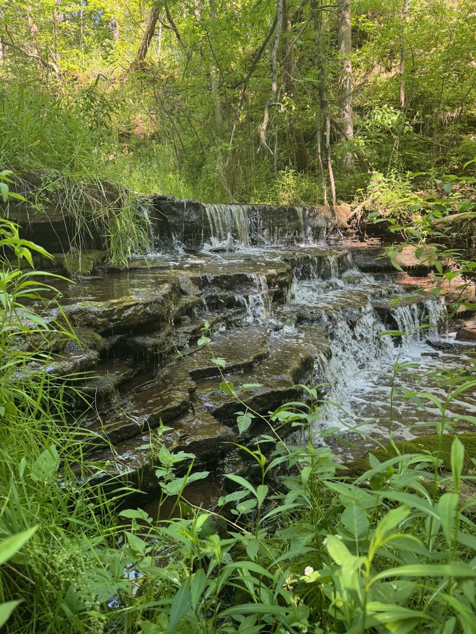
Lots of small waterfalls on this one, as the route passed over Sixteen, Eighteen, and Twenty Mile Creek(s), along with a bunch of other ones that seem to be unnamed. Many of the features on the peninsula are named after their distance (in miles obv.) from the mouth of the Niagara river where it flows into Lake Ontario. I appreciate that this is because when these things were named, the main method of transport/trade was probably by boat up and down the coastline of the lake. The building of the QEW (Queen Elizabeth Way, the main highway through the area) first requiring the birth of Queen Elizabeth II, which was at least 150 years away. However, I still feel like they could have gone with something more original.

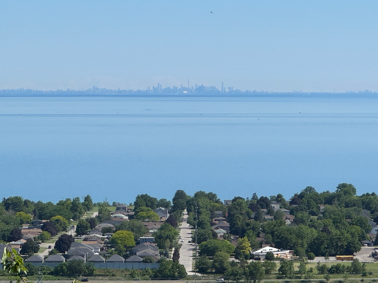
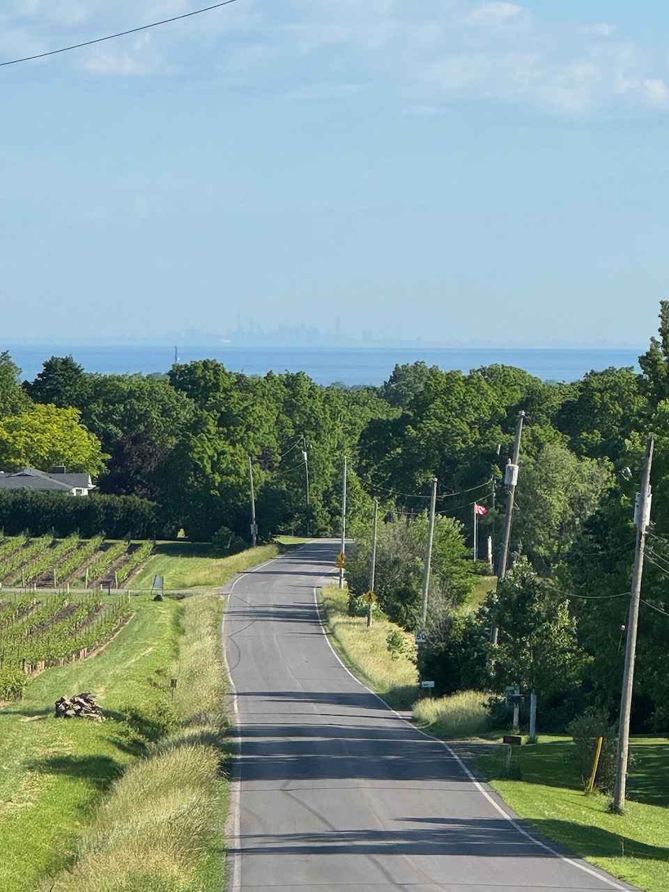
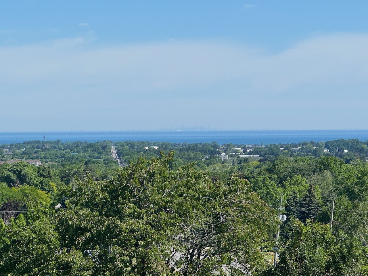
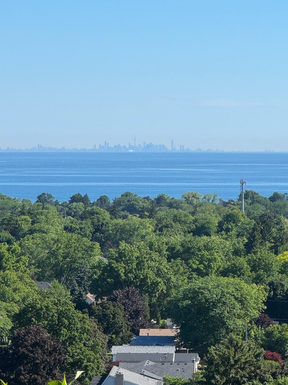
After a short hike through the bush I was spit out onto surface roads, many of which go right by some of the area wineries. Regrettably, most tasting rooms don’t open until 11AM. To anyone wondering if I would actually taste/purchase wine while hiking the trail the answer is obvious. Of course I bloody would have. While walking down 17th street I noticed that you could see directly across the lake towards Toronto, and the day was clear enough to see the skyline. It’s difficult to get a picture of how it looks in real life, but it was quite striking. Here I encountered two other hikers, two Polish ladies whose names escape me. They were also trying to hike from bottom to top. They were shocked that I was only on my fourth day, while they are over a year in.

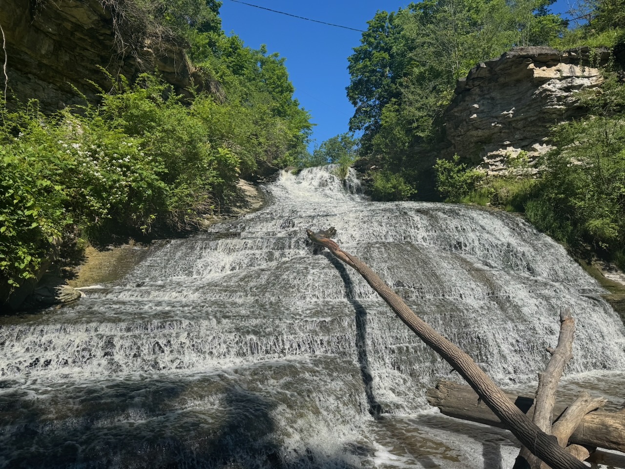
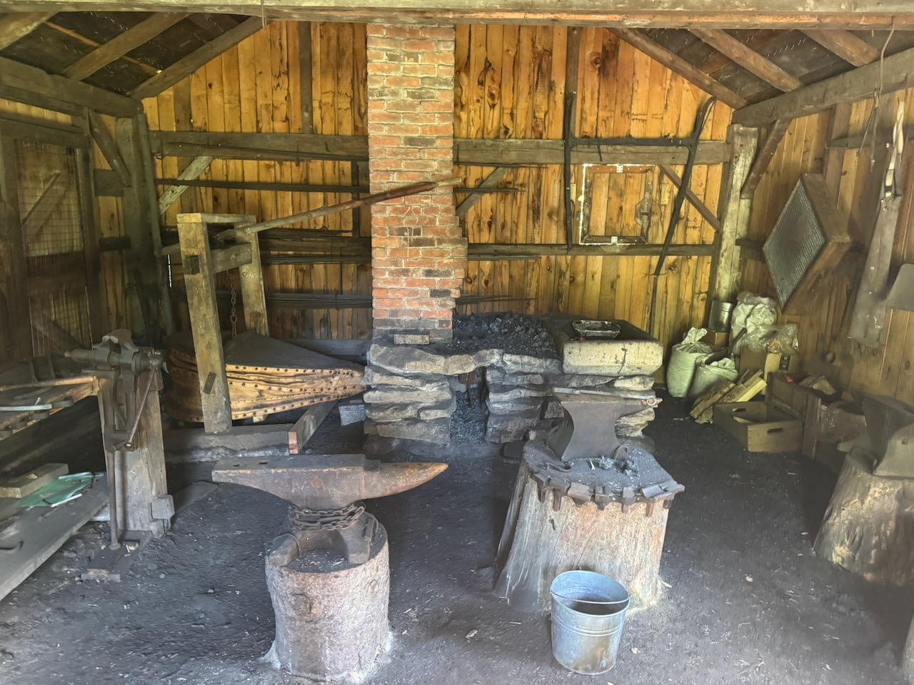
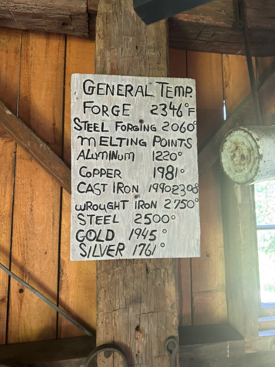
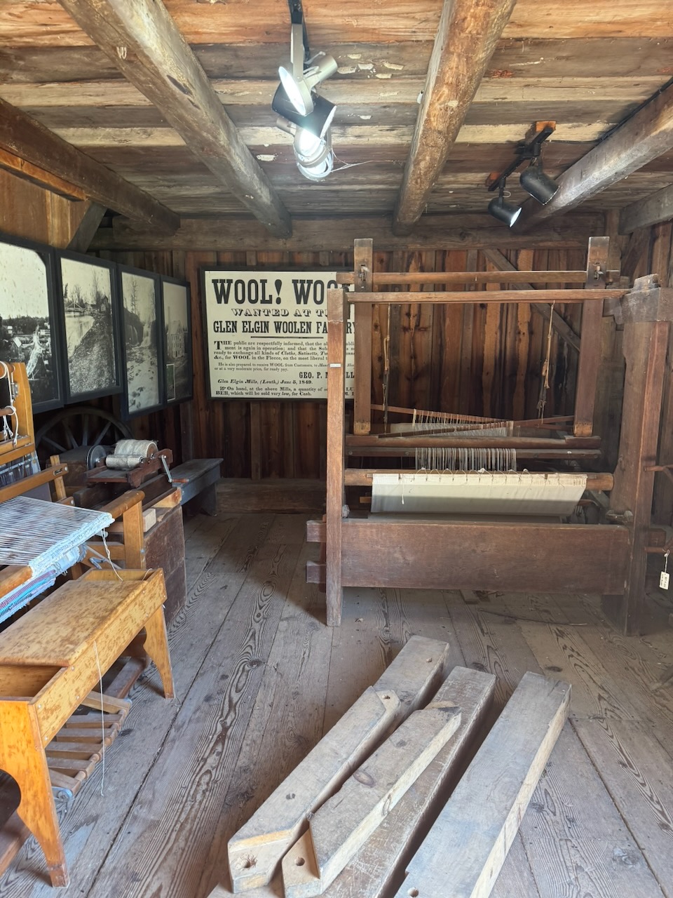
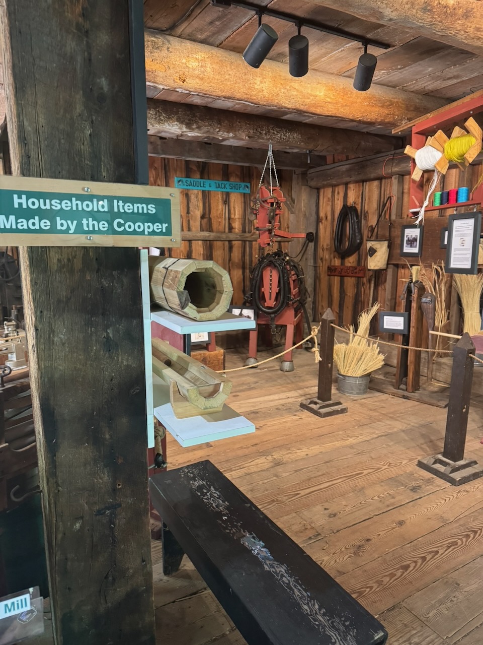
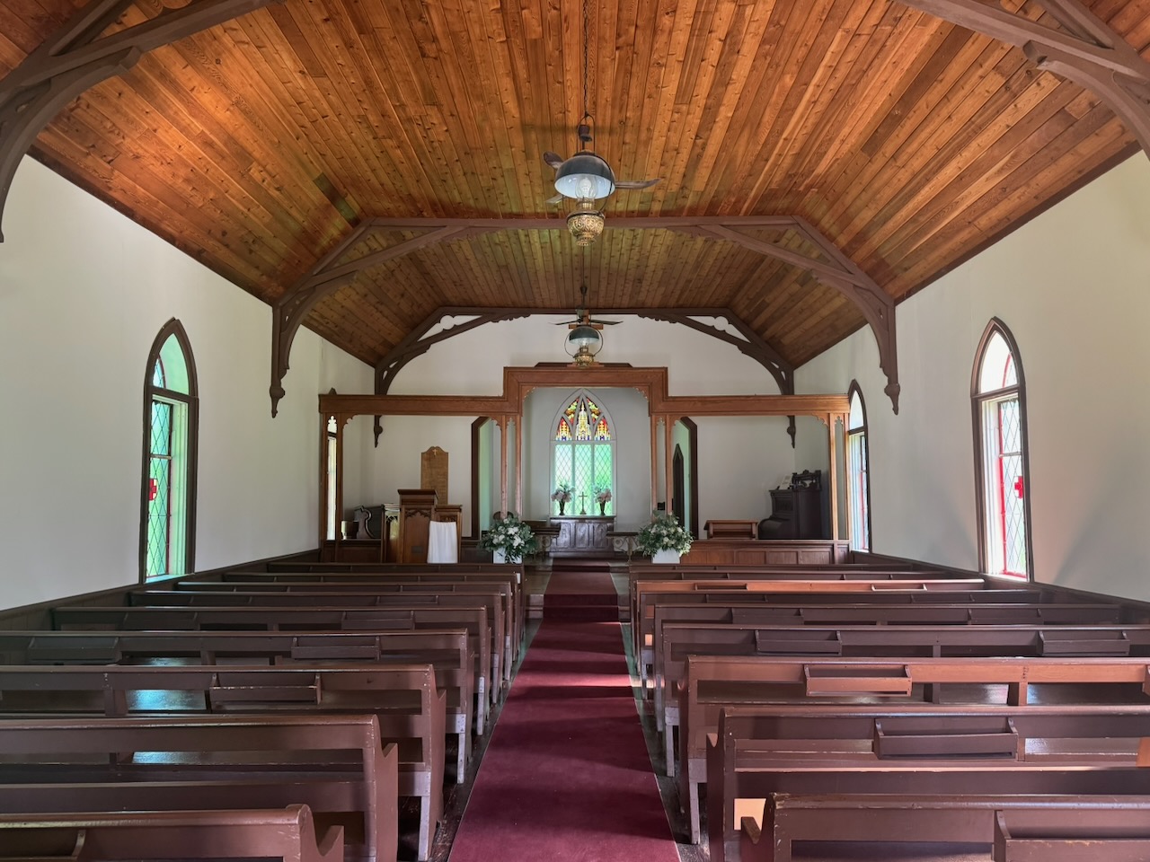
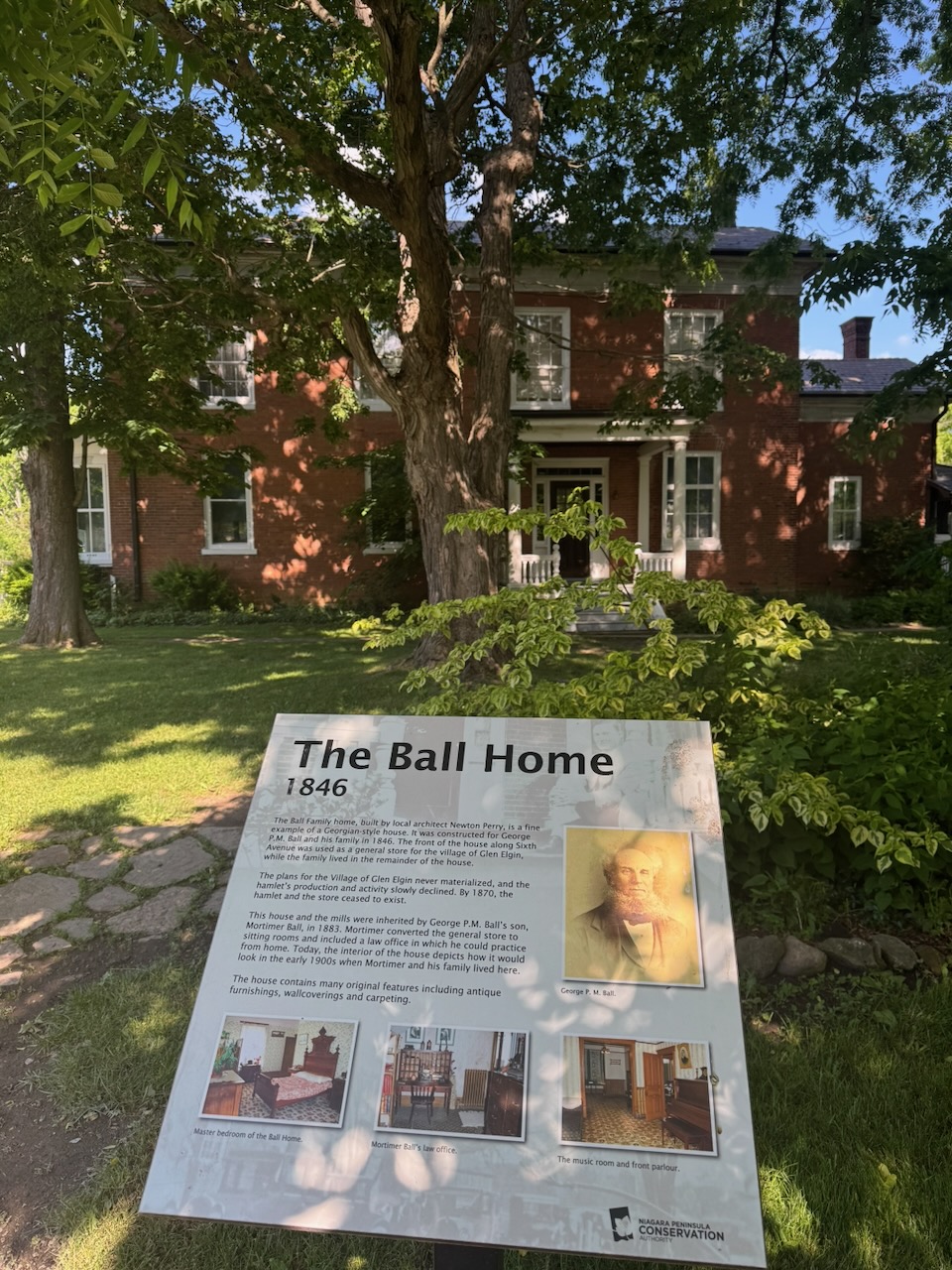
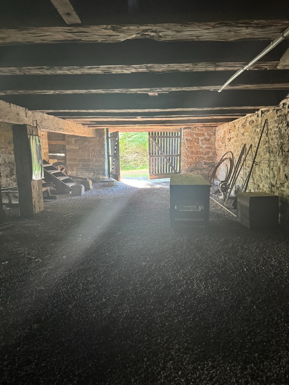
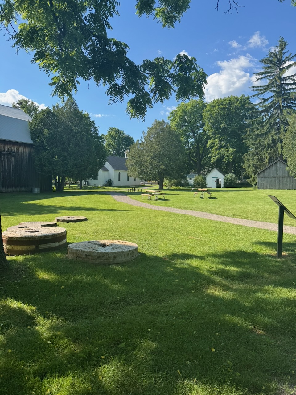
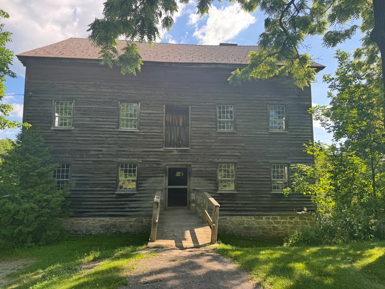
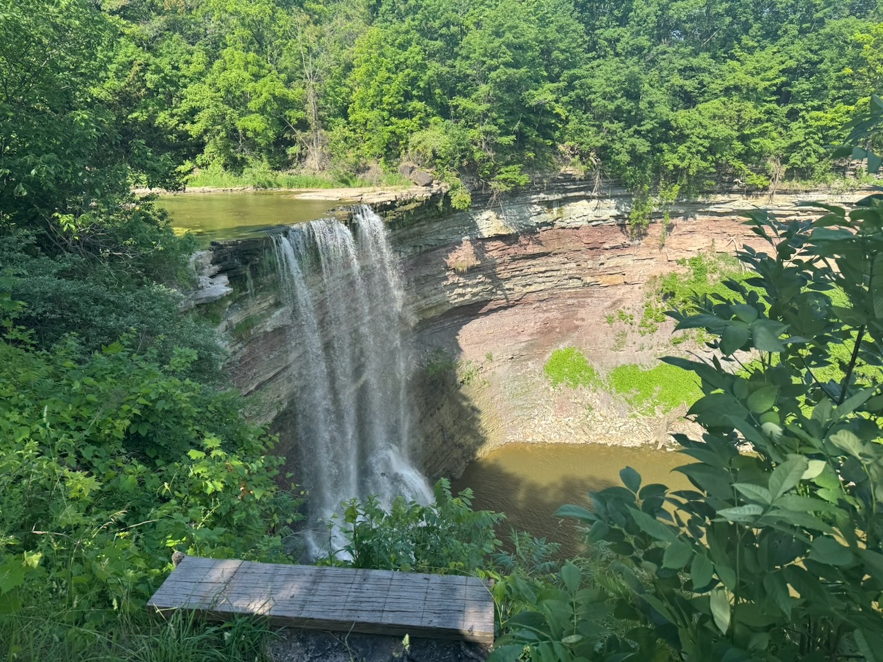
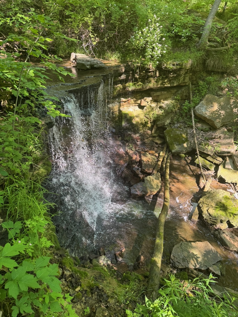
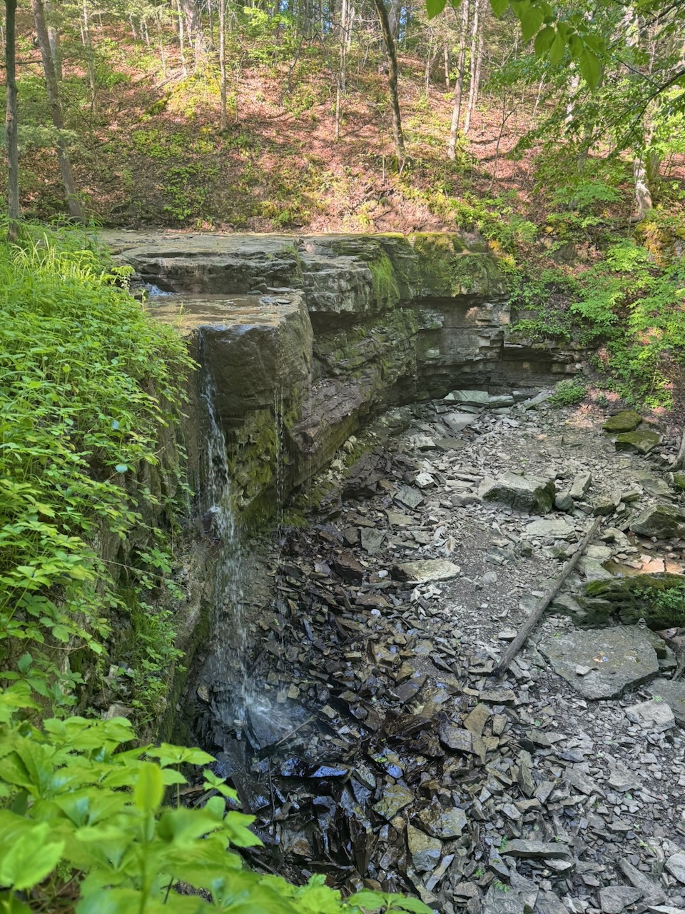
The next highlight was Balls Falls. There’s a little “Pioneer Village” type thing there with an old mill, blacksmiths, church etc. The buildings were all open and unattended, which is nice to see, that there’s still trust in people. I kind of broke down in the church and had a little weep about what I’ve lost. Sorry, I promise the rest of the post is more upbeat. The falls themselves are really large, but the volume of water going over them was not too much. I was actually there earlier in the year, in May, and there was easily several times, perhaps a dozen times, the volume of water going over the falls.

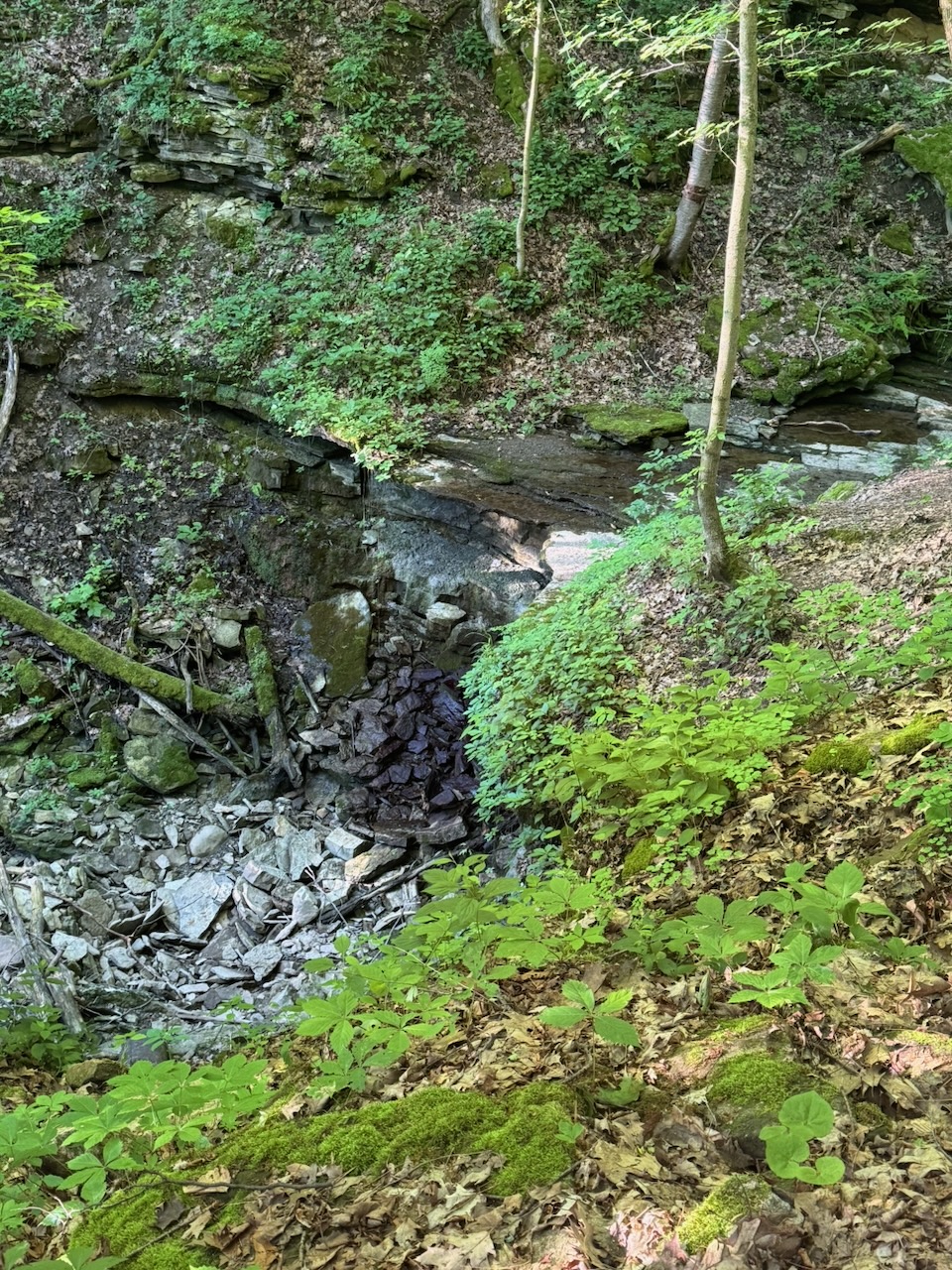
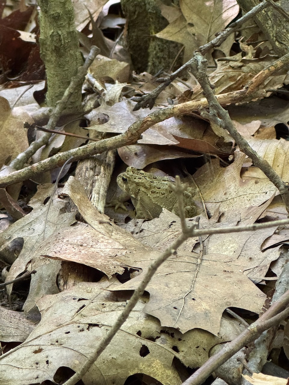
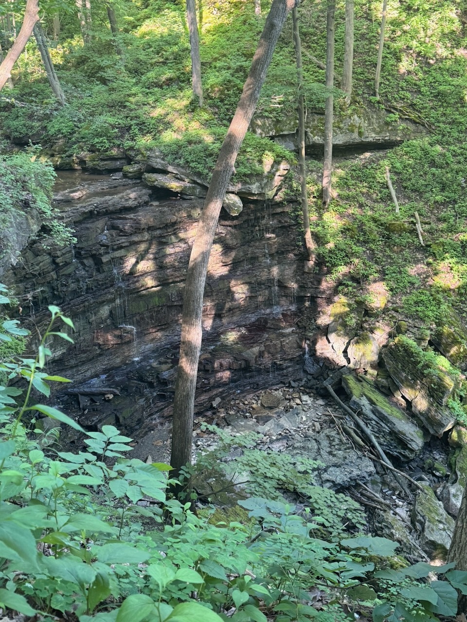
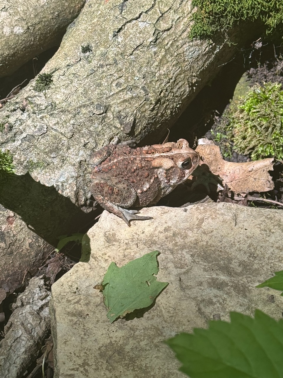
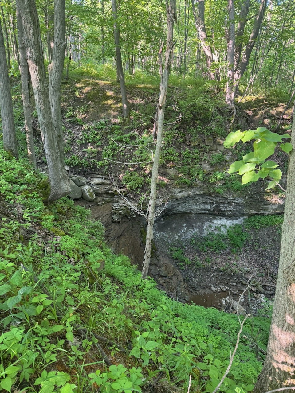
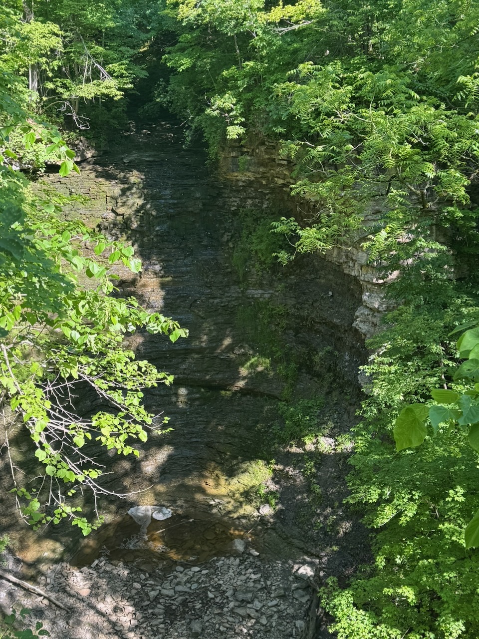
After this I nearly jumped out of my skin, when, on the next wooded section a giant bird took off as I walked past, making a huge racket. From the shape and colour of the tail I’m pretty sure it was a turkey. Small children take note: your semi-automatic rifle should be a shotgun, good for getting turkeys! In addition to a million squirrels and chipmunks there were also lots of toads and a few frogs out. Near the end of the hike at Cave Spring I stopped to look out over a large cliff only for two huge vultures to take off from the trees at the edge. I managed to kind of snap a picture of one, but without a telephoto lens wildlife photography is pretty useless. It’s here I encountered a 71 year old lady whose name escapes me, something like Ronda, but not that, or maybe that, not sure. She was only a few weeks away from finishing the entire trail, having started in May of this year! Obviously she’s not doing it in order, but wow, I hope I’m doing that well at 71, if I make it.

At this point we need to talk about water. Despite there being water water-falls everywhere, there’s not a drop to drink, except what you take with you. The hot day meant that I had consumed the 750 odd millilitres that I brought with me pretty early and I was uncomfortably thirsty. Real dehydration is actually a scary feeling. Consulting the trail map I noticed that if I turned directly east, leaving the trail and following a creek bed, I would end up at a brewery. There’s a few problems with this which “Ronda” and I discussed:

  • Leaving the trail is actually against the trail code of conduct.
  • It’s not clear that you could actually hike along the entire creek, parts of it could be difficult or impassable.
  • The next exit from the trail (Cave Springs Conservation Area) was only about 1.5km away, and it should be possible to get an Uber to the brewery from there.

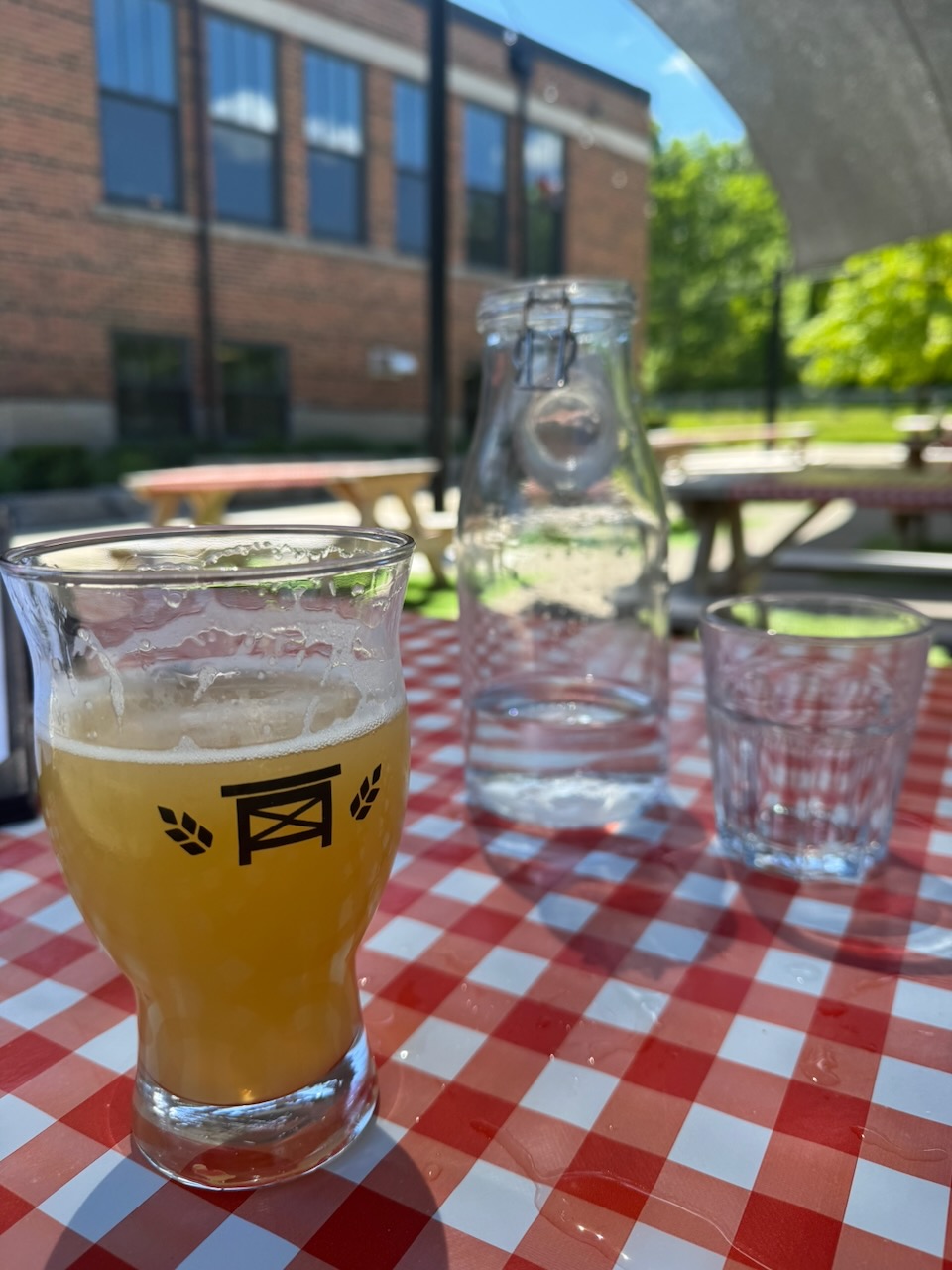
Despite the obvious chance for adventure I said goodbye to “Ronda” and hiked/ran the rest of the way on the trail. I did end up getting an Uber to Bench Brewing Company and quickly downed about two litres of water, followed by some beer and a sandwich. Cold beer tastes best when it’s well deserved.

Notes for next time:

  • Pack more water. Two litres at least.

Only 817.7km to go!
Hike the Bruce Trail Day Four: Wild, Life

Hike the Bruce Trail Day Three: Wild, Flowers

Another early start on this one, out of the house by 5:30AM. It really does make such a difference, I’m able to get in almost 20k and still be home for lunch. This time I packed sunscreen, a date square, and some trail mix, as well as the usual water and bug spray.

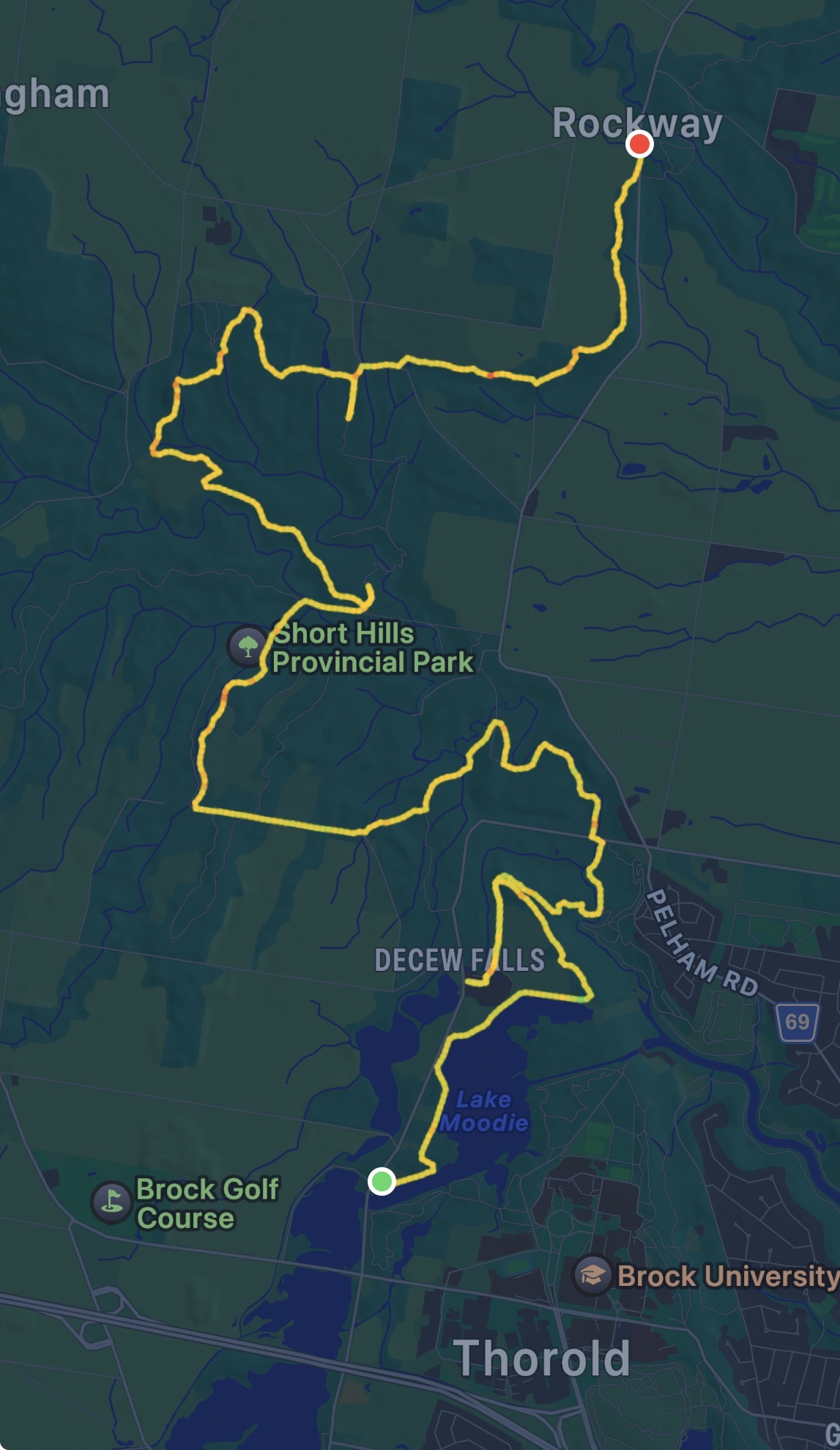
Start: DeCew House Heritage Park

End: Rockway, ON

Distance: 18.9km

Weather: 20C and sunny

The Route

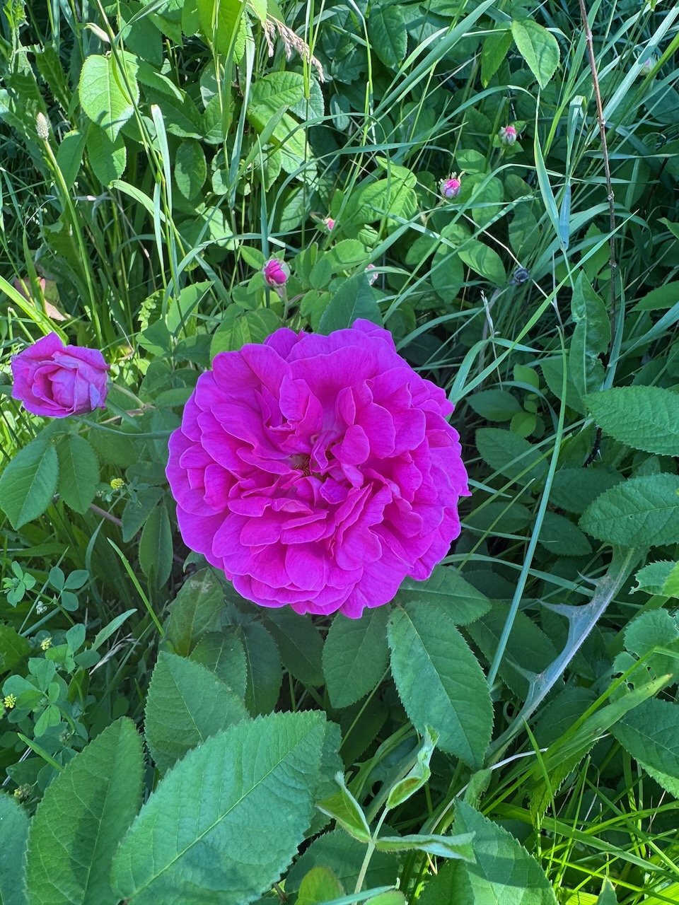
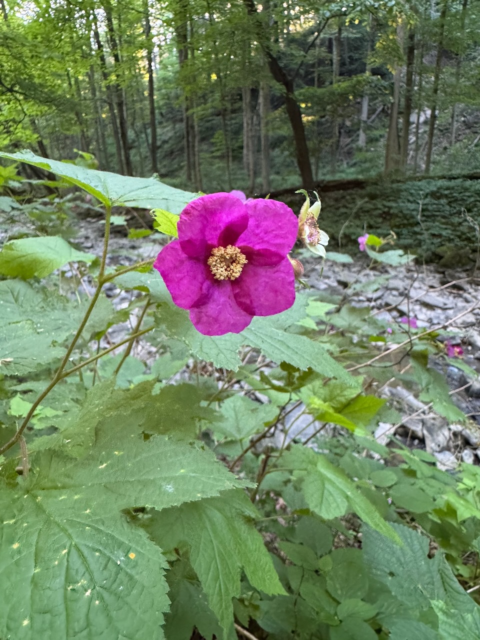
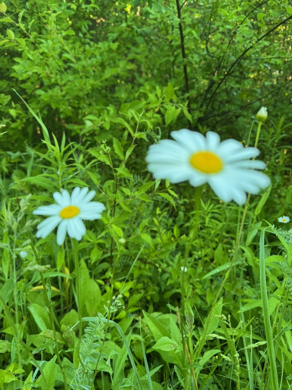
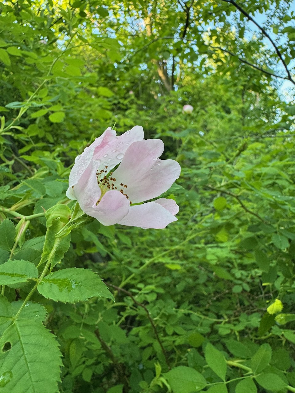
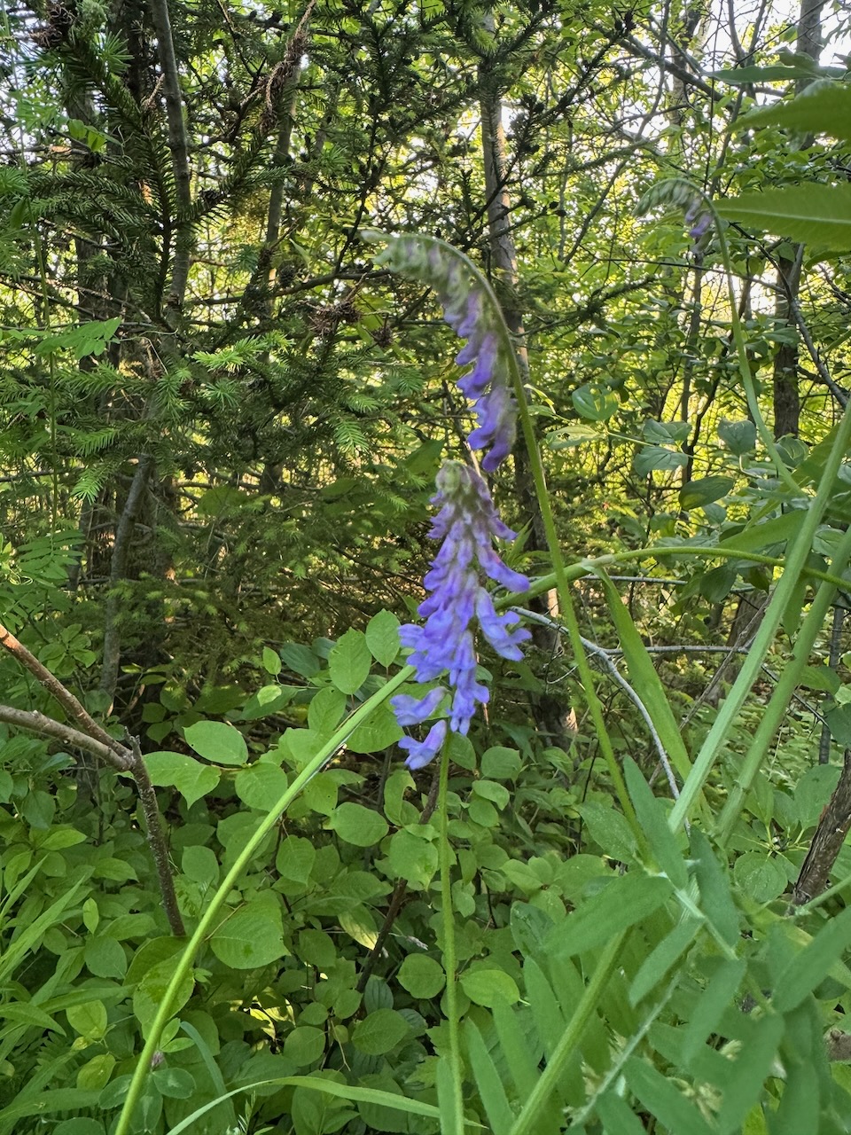
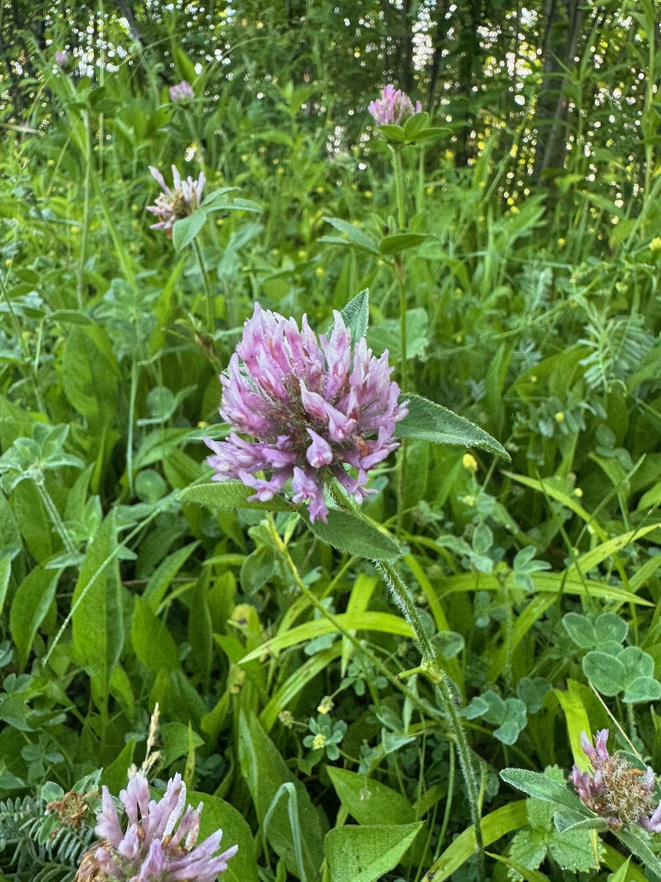
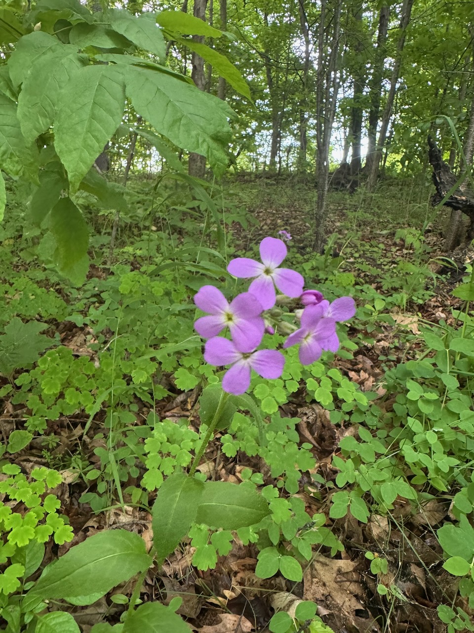
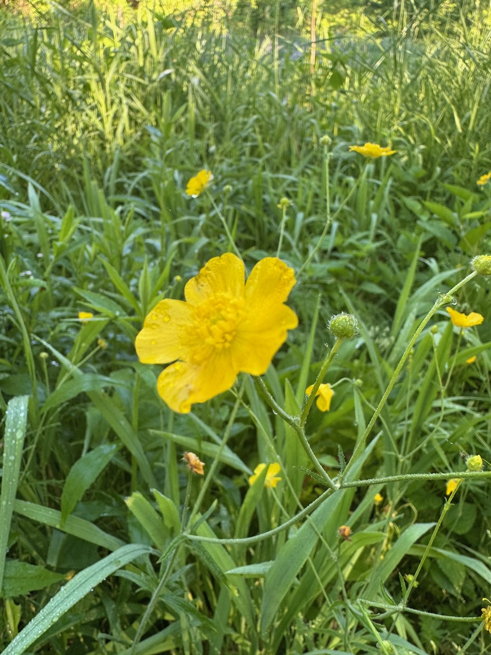
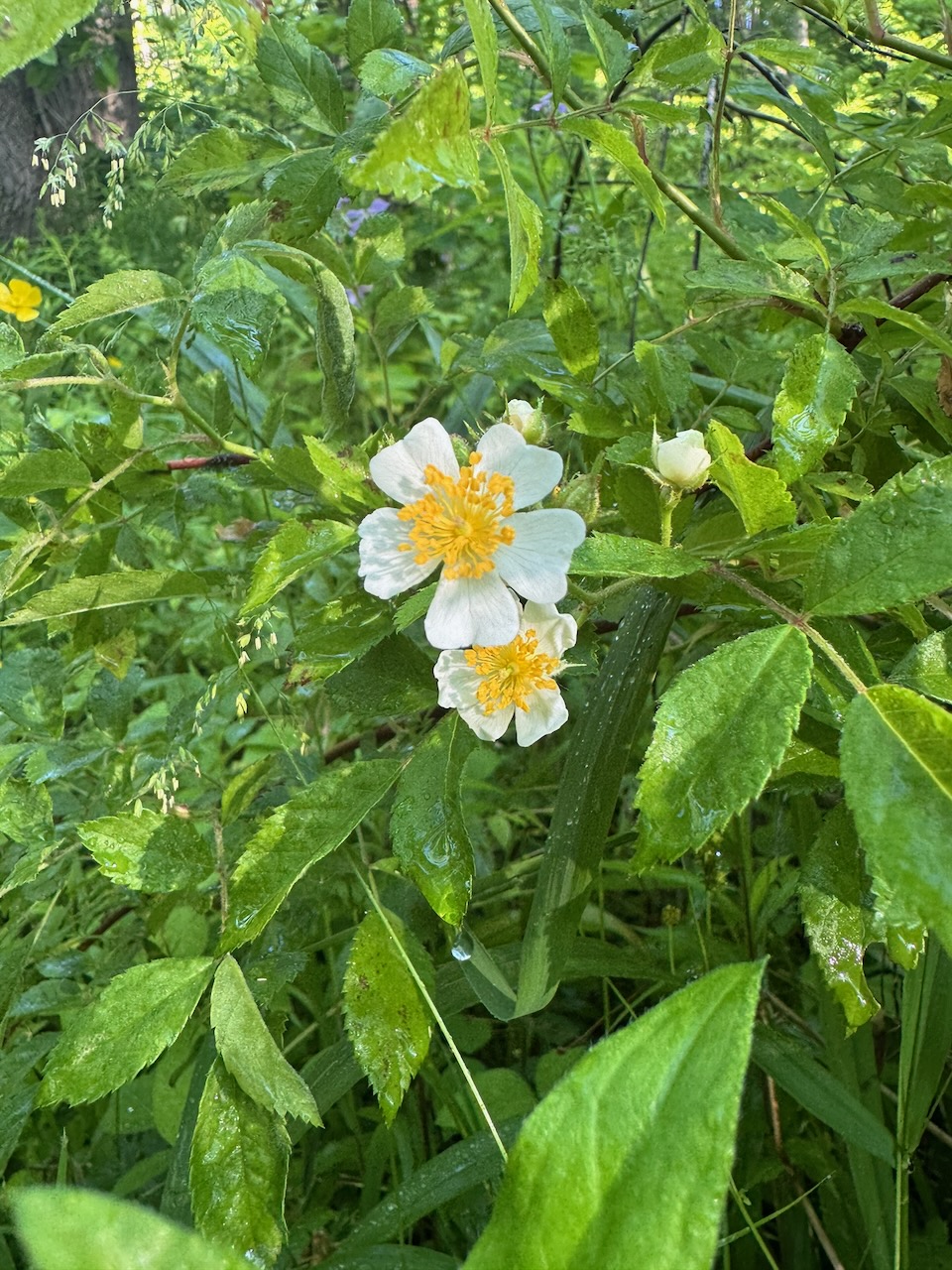
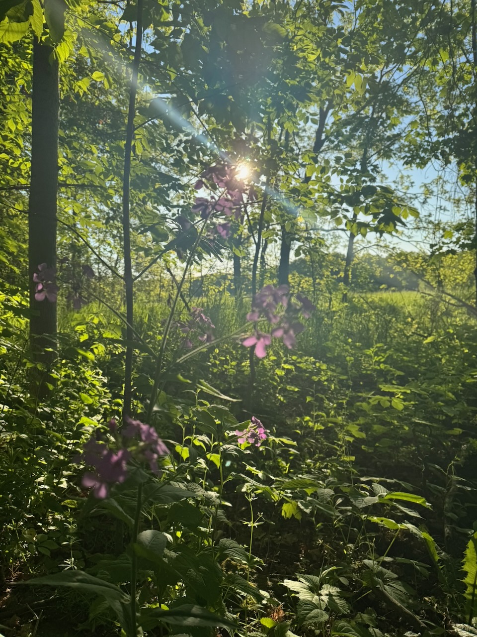
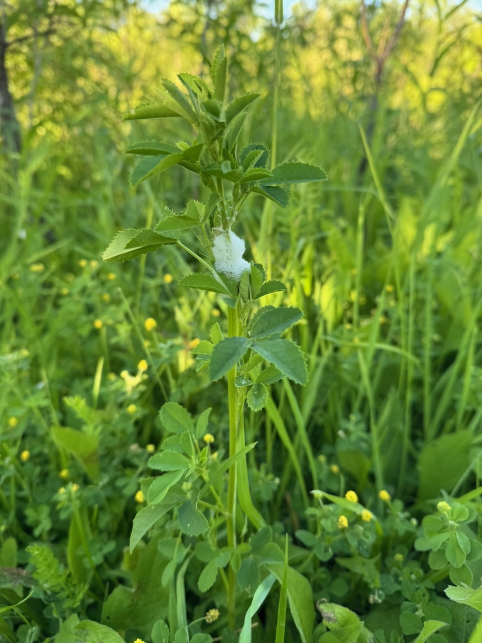
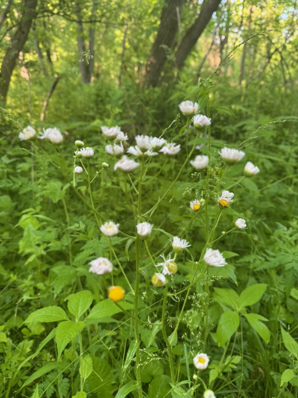
The main thing I noticed on this trip were the wildflowers. I saw the following kinds:

Apologies that some of the pictures are blurry, I need more experience working with the iPhone’s macro mode.

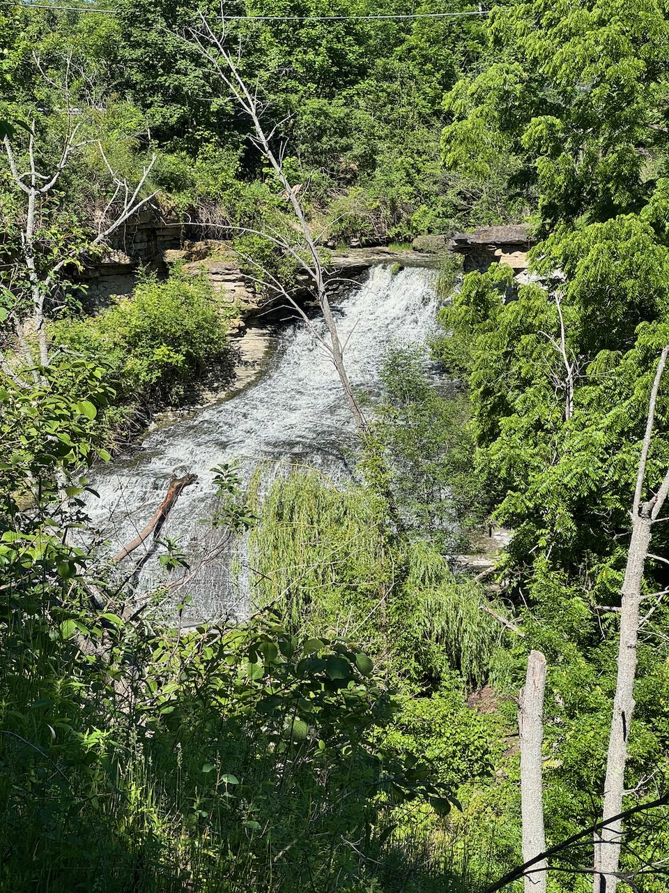
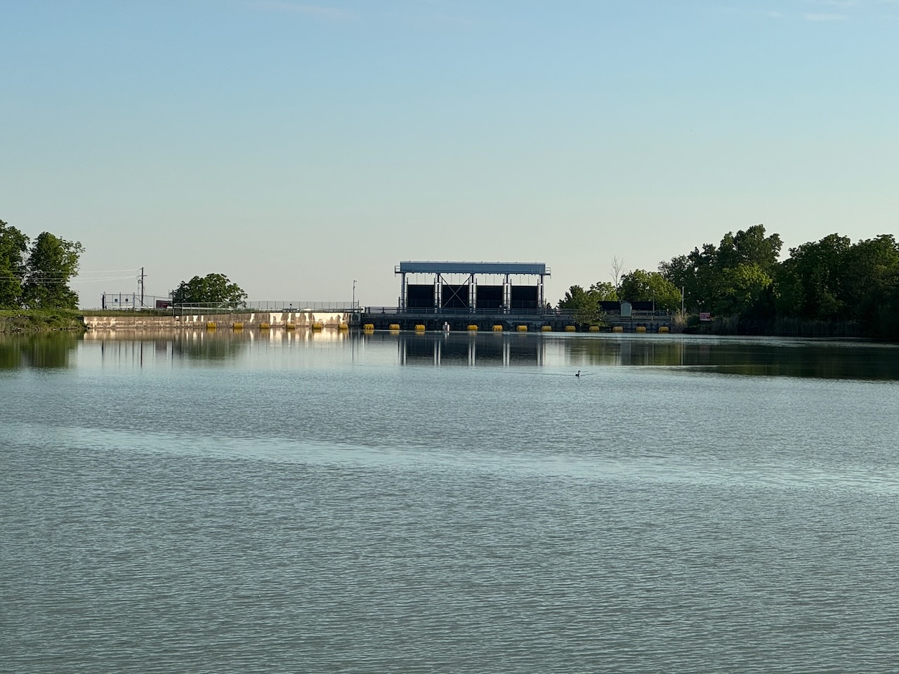
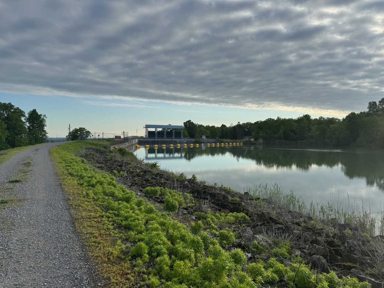
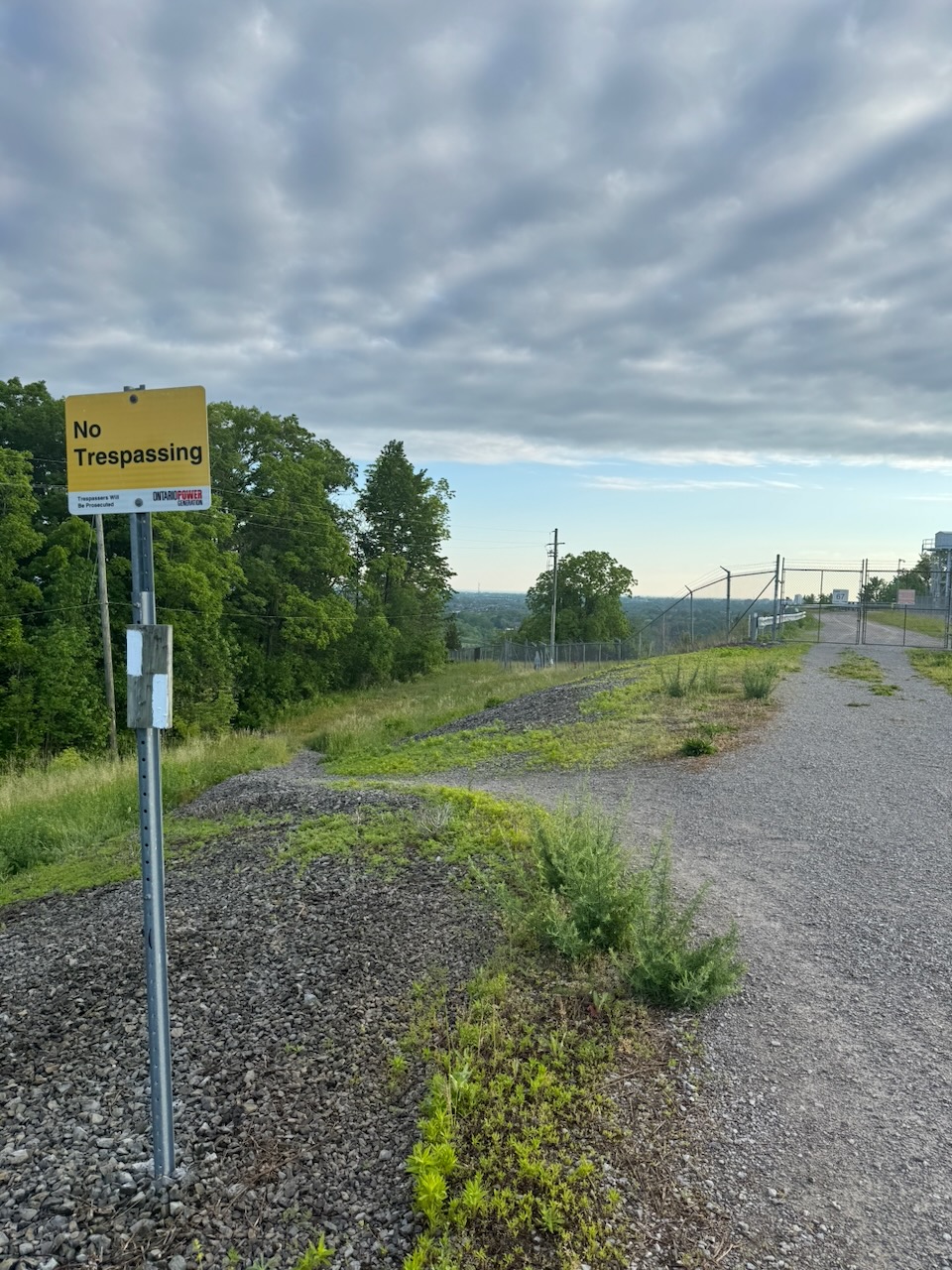
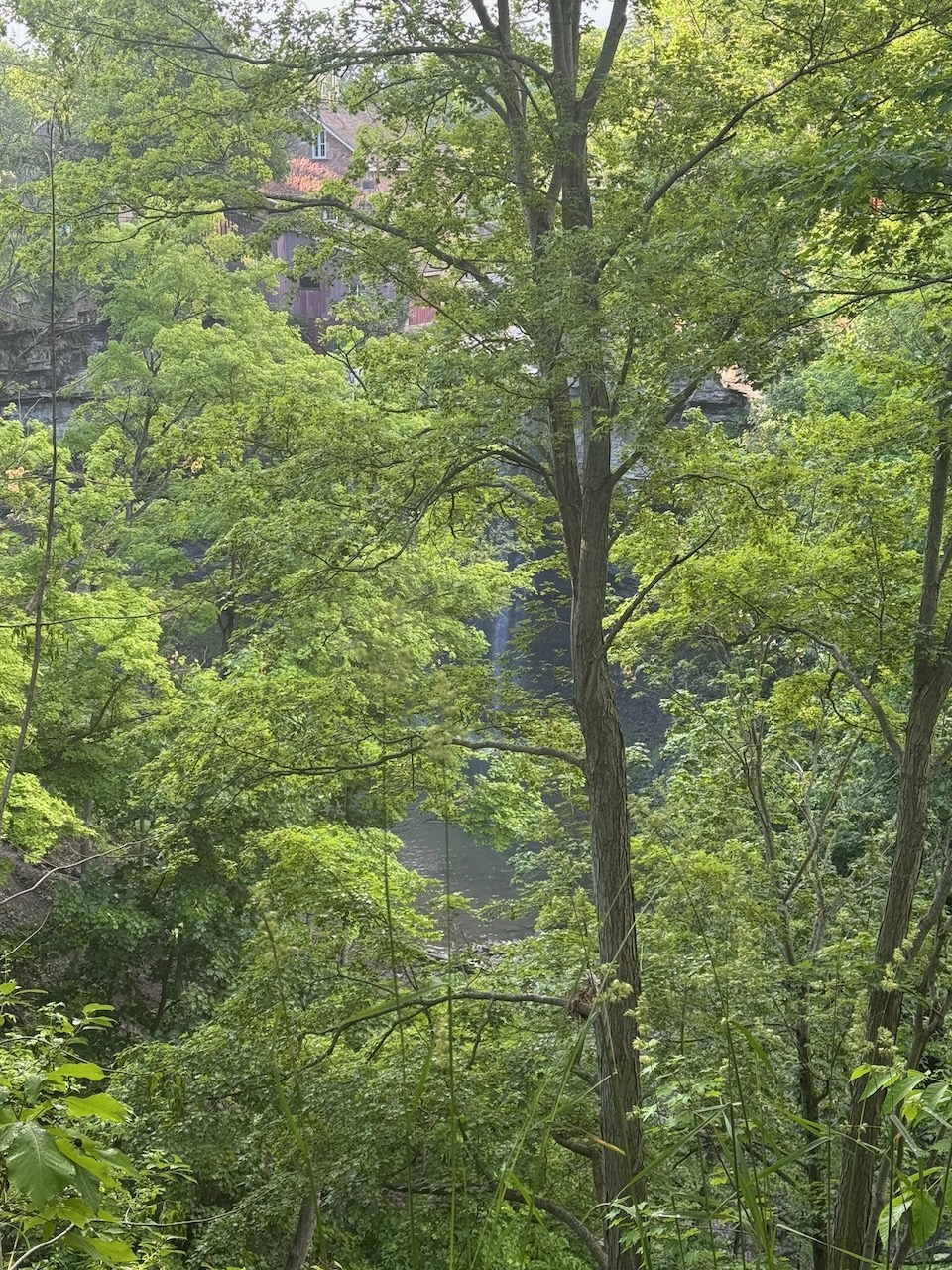
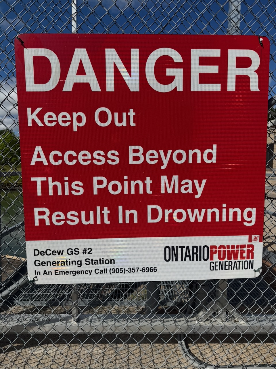
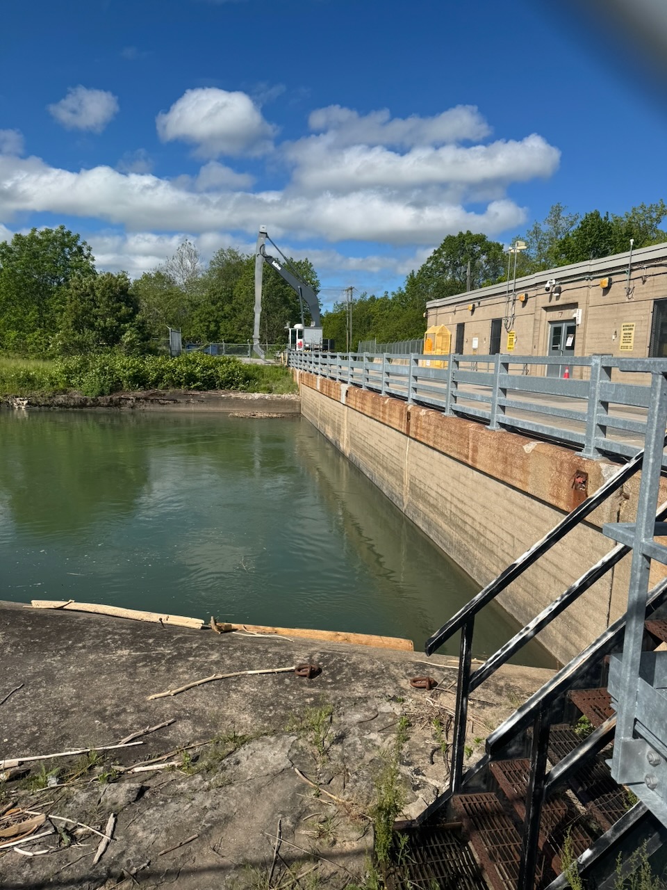
Near the beginning of the trip was another large dam, DeCew Generating Station, which looked suitably ominous from afar with the big water gates. There were a few waterfalls on this trip, the biggest being DeCew Falls, which turned out to be a big disappointment. The whole area around the falls is fenced off, the only picture I could get is a tiny bit of it through a bunch of trees. Then a few other ones here and there that I don’t know the names of, if indeed they have a name.

Now the problem with starting at 5:30 in the morning is that your body isn’t used to “evacuating” that early. So by the time 7:30AM rolls around you’re on the trail and could really use a pit stop (number two in case that isn’t clear). Since I try to live by the old “take only pictures, leave only footprints” maxim, I wouldn’t be comfortable adding to the number of logs on the forest floor. Luckily about half way through the hike I stumbled on a “restroom” which is basically a shack with a hole in the ground and a toilet seat. I had a moment of panic after unberdening myself when I realized I didn’t first check to see if there was any toilet paper. Thankfully there was some of that awful single ply stuff you find in restrooms. I still maintain it’s counter productive as you end up using so much to avoid “punch-through” that regular two ply would have resulted in less waste.

I ended up walking in the wrong direction a few times on this trip. Much of the Bruce Trail goes through existing parks and conservation areas so there are often lots of other trails that cross it. This makes it easy to miss a marker and end up walking a few hundred meters on the wrong trail. I’m using the official Bruce Trail app to find my way, it’s really good and has the ability to plan hikes, track progress, and have offline maps. This is way more useful than you’d think as, especially in the more northern sections, there is no cellular service. Speaking of, what I’ve been doing so far is checking the Uber app once or twice on the hike to make sure that there will be a car that can take me back to where I started. At one point on this hike I did indeed run out of bars, luckily there was plenty of signal where I ended up. Still, it’s only a matter of time before the drive->hike->Uber->drive method fails somehow.

Looks like maybe two more trips and I can finish the Niagara section of the trail.

Notes for next time:

  • Consider packing some bog roll (toilet paper). Just a bit, in case you find a restroom that is not well stocked.
  • Related to the above, hand sanitizer. I didn’t have any and had to eat my trail mix “horse style” by shoving my face in the bag.
  • I packed sunscreen but forgot to use it. Amazingly even though I was doing this in the early morning and much of it under forest canopy I still got a bit red.

Only 839km to go!
Hike the Bruce Trail Day Three: Wild, Flowers

Hike The Bruce Trail Day Two: The Welland Canal, The Welland Canal, The Welland Canal, and The Welland Canal

I figured that if I’m going to have a hope in hell of actually doing this I should probably get some appropriate gear. Things like clothes, backpack, bug spray etc. I went to MEC and bought all that stuff. Despite most of my items being “on sale” it added up real fast. I have no idea why that store went out of business so many times. It wasn’t empty either. One interesting note was that I decided not to go with DEET based bug spray at this time, as the salesman informed me that it will melt some synthetic fibres. Yikes! Anyway the bugs weren’t that bad.

Start: Woodend Conservation Area

End: DeCew House Heritage Park

Distance: 18.3km

Weather: 15C and sunny

The Route

Got out of the house by 5:30AM for this one. I needed to be back in Toronto by mid-day to go to the children’s dance recital. It also makes the driving really nice as there’s obviously no traffic on the way there. There’s still traffic on the way back but not the late-day rage traffic that Toronto is so good at.

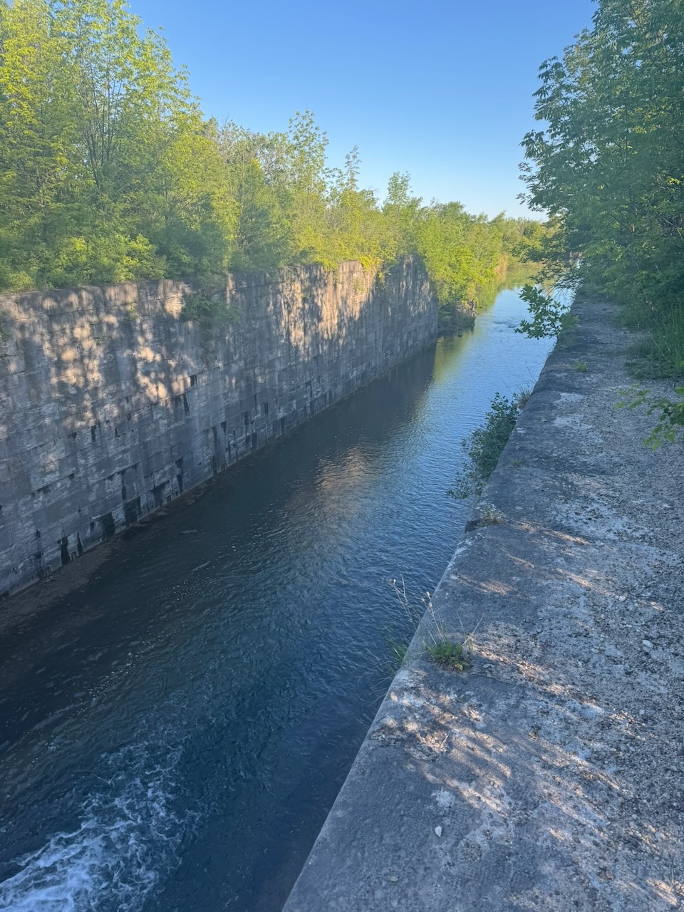
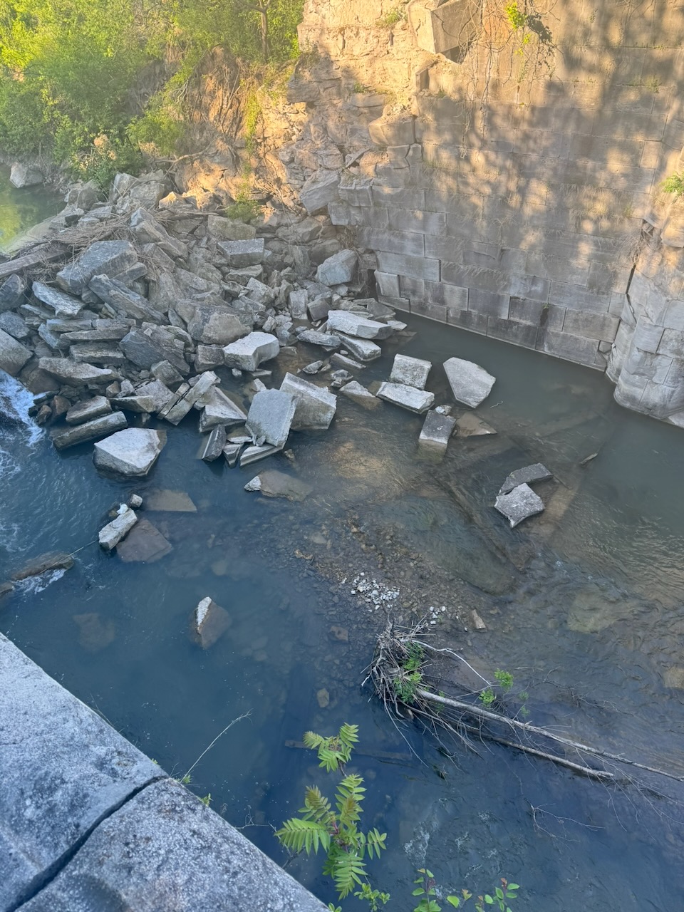
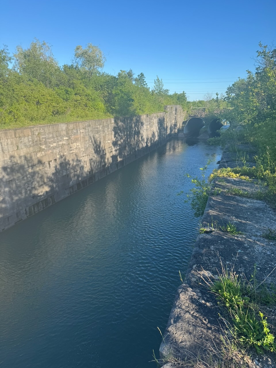
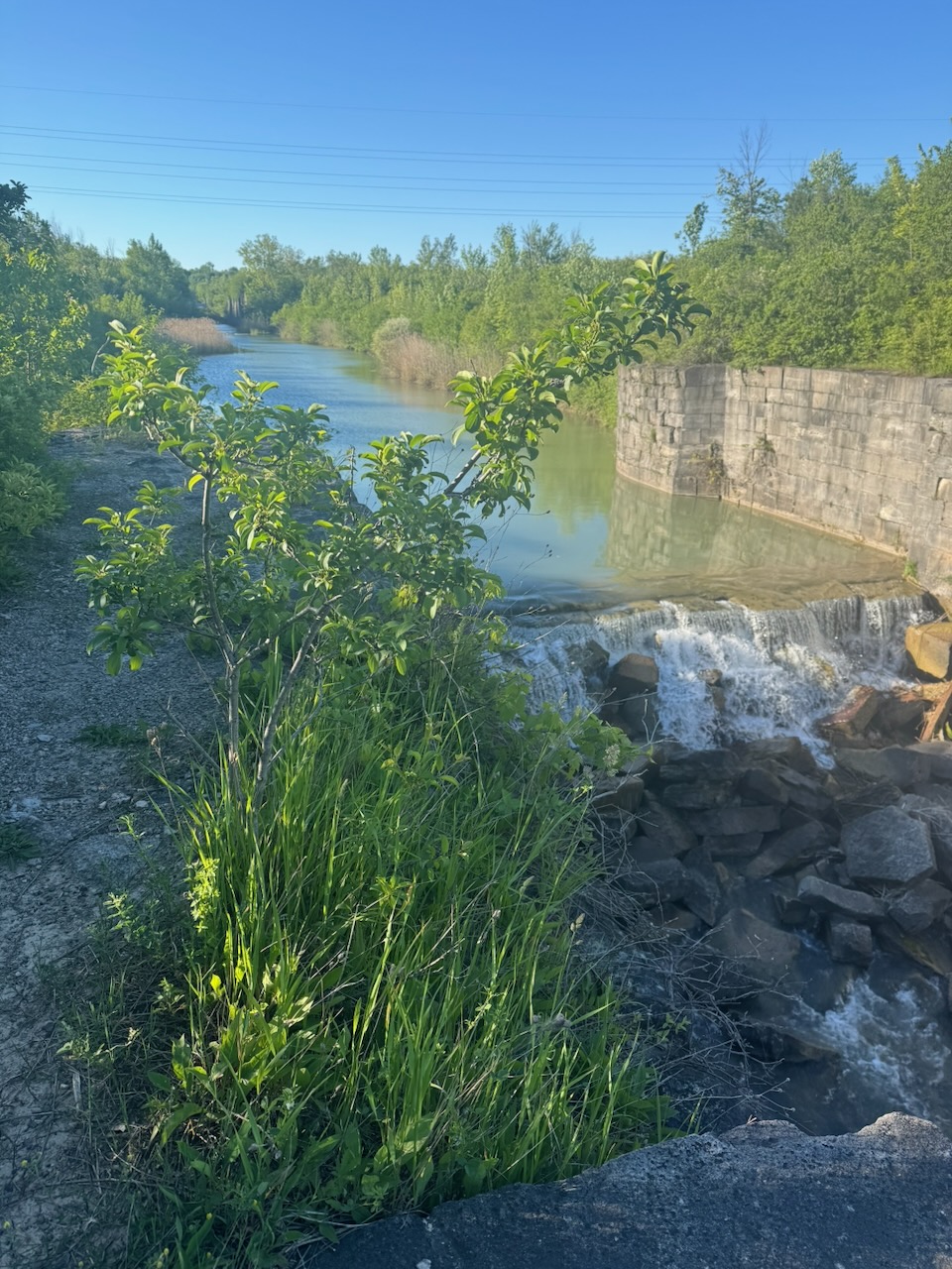
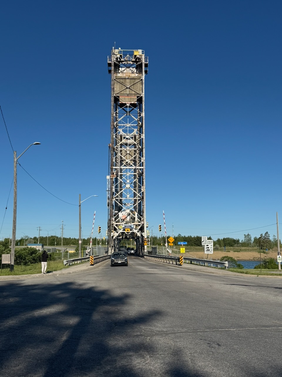
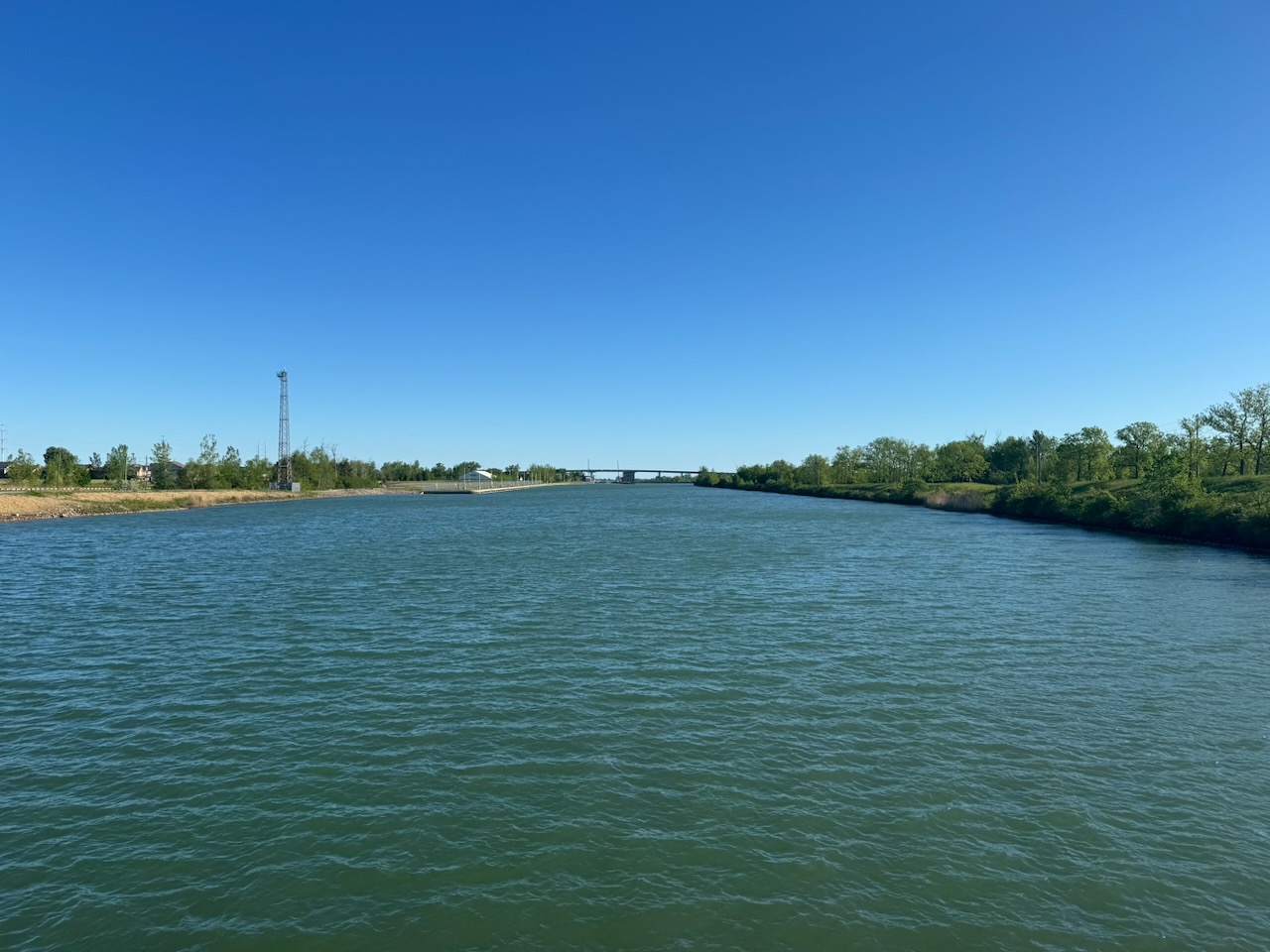
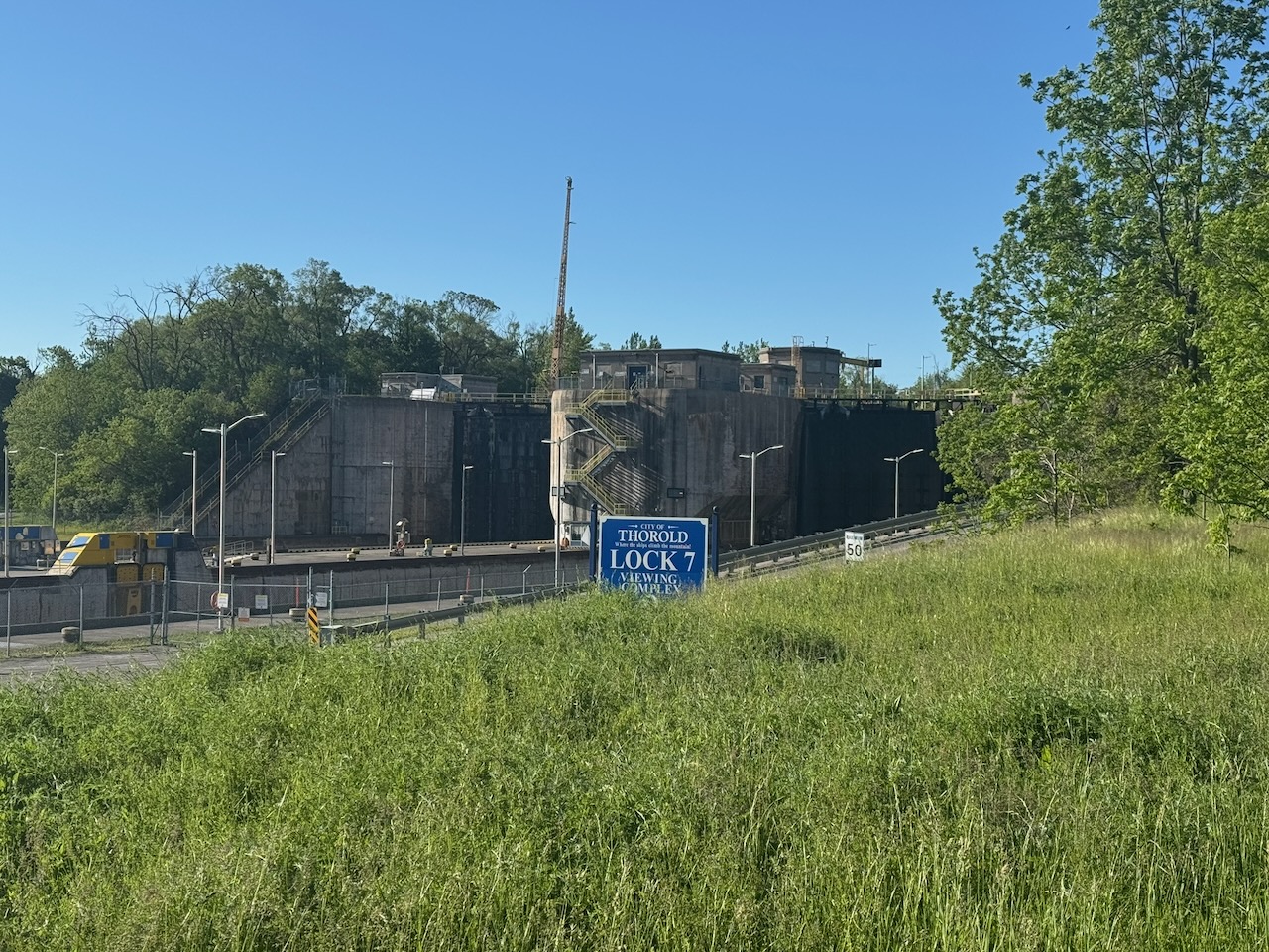
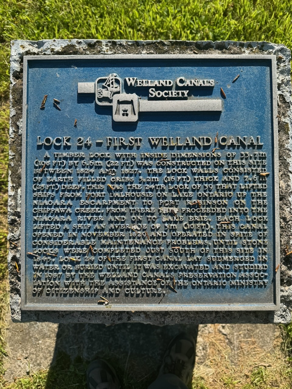
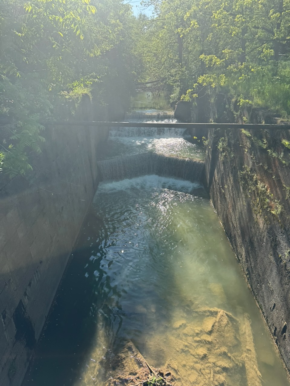
This hike essentially transits the city of St. Catherines. As the title suggests, the really interesting part is the Welland Canal(s). By that I mean that it seems there has been at least four attempts at building a canal from Lake Erie to Lake Ontario via the Niagara Peninsula. The first canal you encounter walking from south to north is the third one. Or rather, some of the locks from the third one. Built of large stone blocks, they are really impressive, and some remnants of the doors can still be seen on the bottom. The second canal you encounter is the fourth or current canal. I’m guessing the locks here are mostly poured concrete. Very impressive, unfortunately I didn’t get to see any ships transiting. The third canal you encounter is the second one. Again made with stone blocks but the lock bays look smaller, some of them still have water in them and some are almost filled up with earth. The last canal you encounter is the first. There isn’t really anything left of it, as it was made of wood, there’s a little side trail that leads to a marker (pictured below) with some info about where one of the locks was. I’m pretty sure that’s the right order, but you may disagree, as the trail goes back and forth over some of these things a few times.

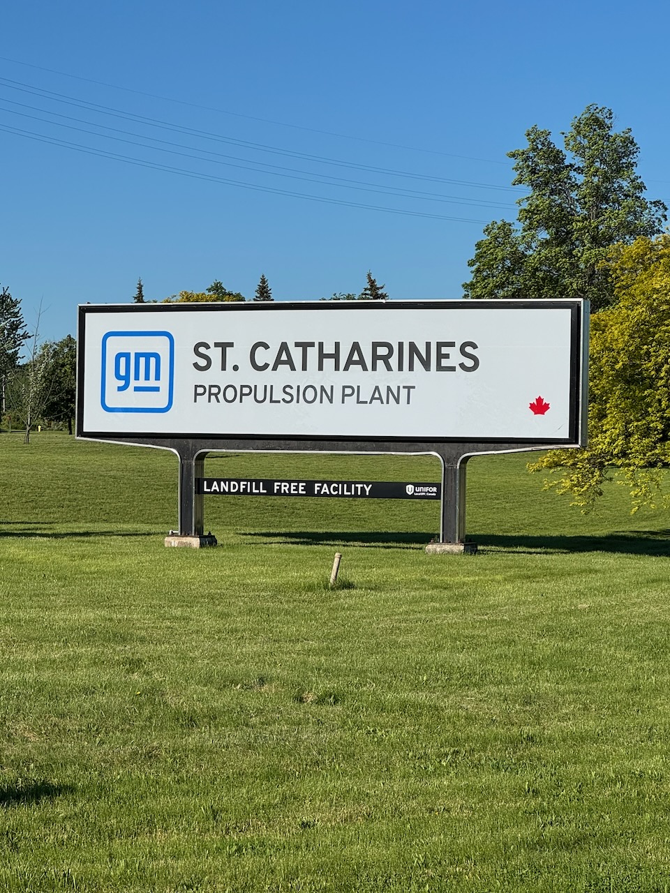
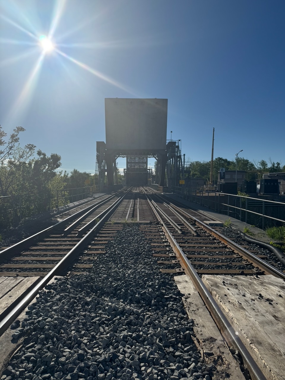
The Bruce Trail crosses the current Welland Canal via a road bridge right next to the GM St. Catherines engine plant. That’s kind of neat, I had no idea that GM V8 engines were built here in Ontario. As far as I can tell these would not be Corvette engines, but V8s that go in trucks/SUVs. The plant dates from the 1950s, as does the original engine design (yes I know there are no parts in common with the original small block). It is possible to build stuff that lasts if you do it right the first time.

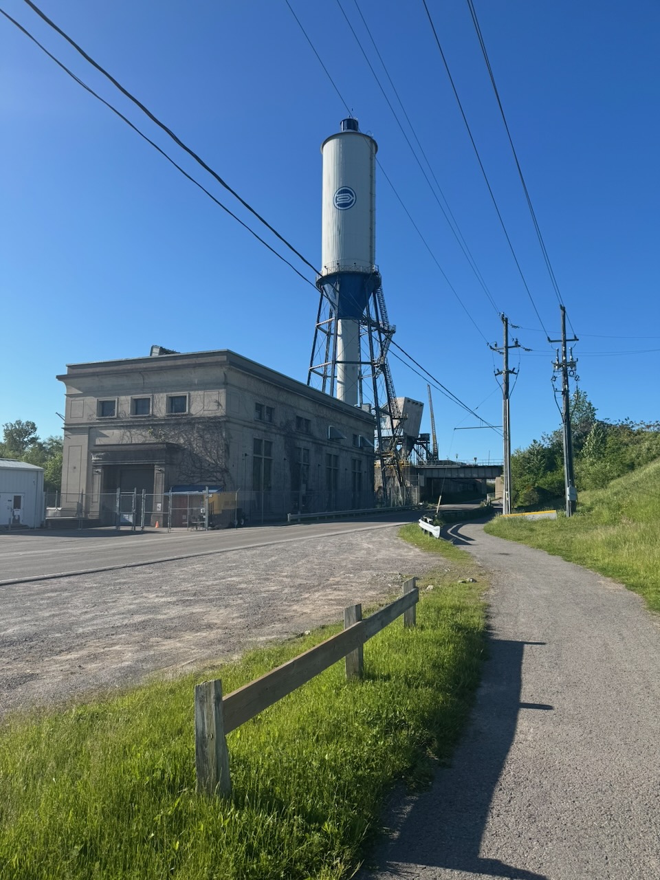
It’s here that I had to make a decision. The main trail now cuts right through “suburban” St. Catherines, which is not known for its natural beauty. Or artificial beauty for that matter. Beauty of any kind really. There is a longer side trail that goes along the canal and around the city, which sounds more up my street (or trail). However if I actually want to finish this thing it’s probably best to stick to the main trail. Anyway it wasn’t so bad, it’s on this part that you encounter what’s left of the first and second canal. Some of the trail is on regular streets which isn’t great but you can at least get a coffee or tea or meth (suburban St. Catherines remember). I opted for the tea. The rest of the trail was unremarkable, it goes through Brock University then around an artificial lake created by an OPG hydroelectric dam. I was getting short on time at this point so I actually ran the last few kilometres.

Notes for the future:

  • The Uber hack worked again, but it’s stressful. My dad suggested parking where I want to finish, then getting an Uber to where I want to start. I may try this next time, but if I get an early start there may not be many Uber’s available in the wee hours.
  • For the more northern sections I may need to drive to where I want to finish then take a bicycle or e-bike to where I want to start. Hike, then drive back and get the bike. We’ll see.

Only 858.8km to go!
Hike The Bruce Trail Day Two: The Welland Canal, The Welland Canal, The Welland Canal, and The Welland Canal

Hike the Bruce Trail Day One: The Beginning

I’m going through some changes in my life. These changes are very stressful. Having a goal, something to hang on to, can help in these kinds of situations. When I was a child, my uncle took myself and my cousins hiking on the Bruce Trail many times. I have very fond memories of it. Recently I’ve done the odd section here and there. But why not do something ambitious and hike the whole goddamn thing? The main trail is 890km long. Here we go.

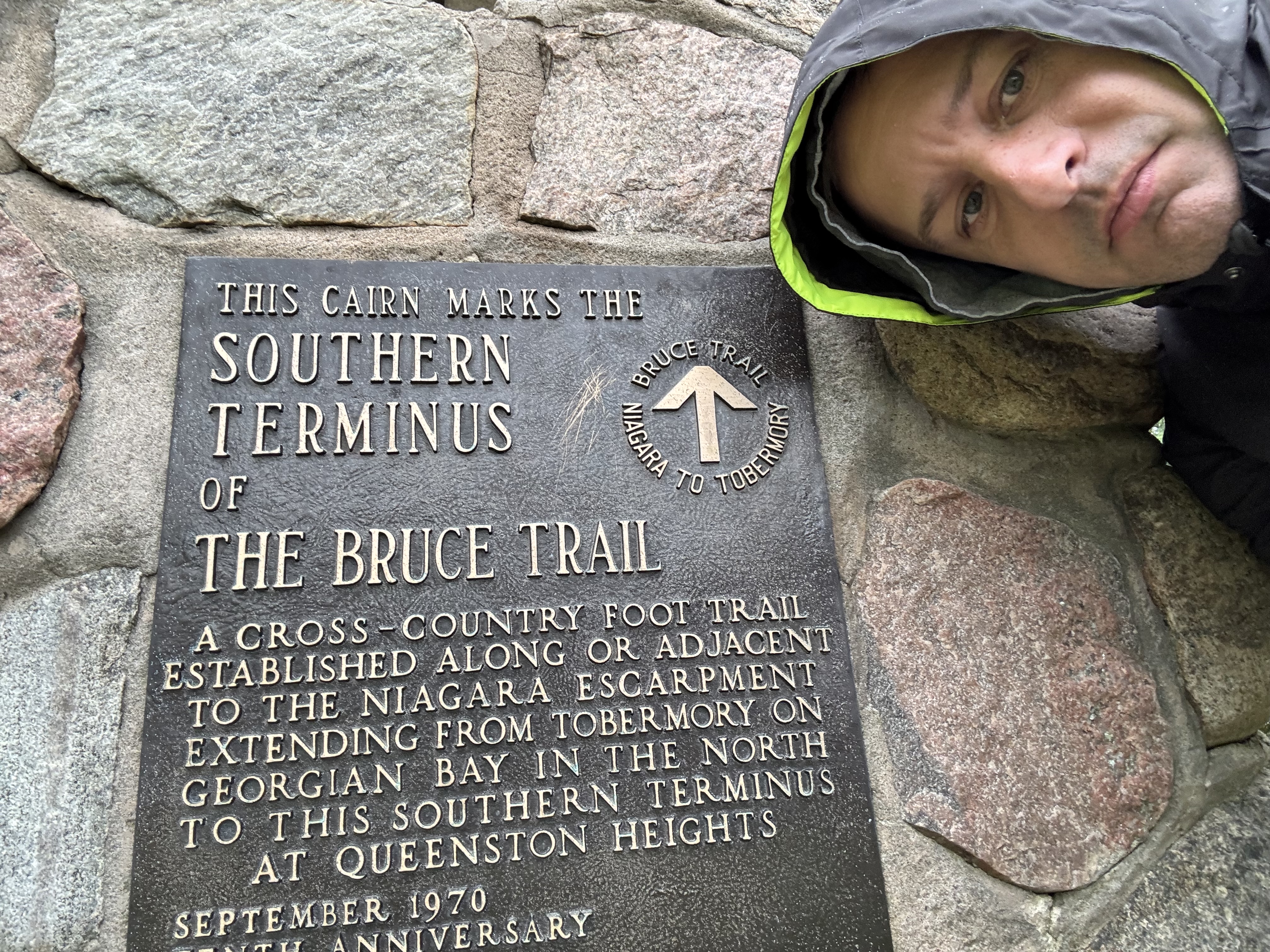
Start: Southern Terminus

End: Woodend Conservation Area

Distance: 12.9km

Weather: 10C with heavy rain

The Route

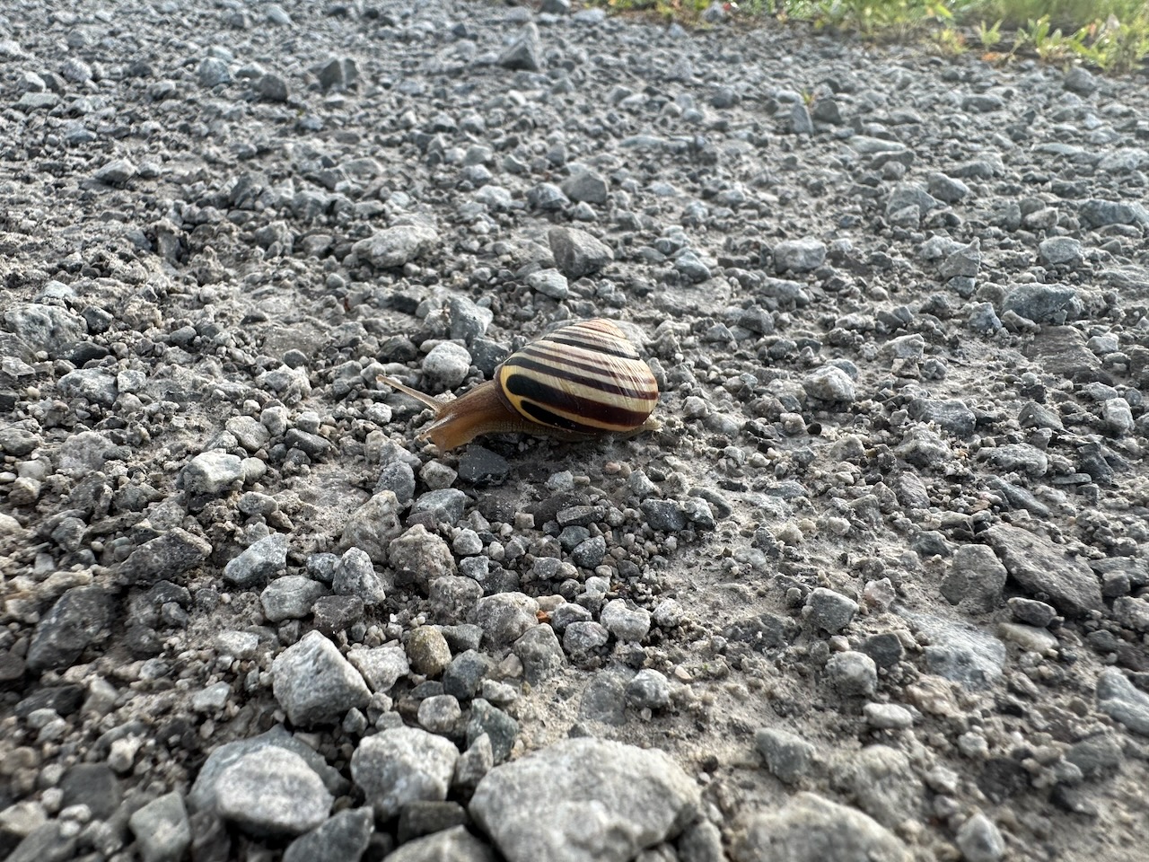
Despite the cold and rain it was a wonderful hike. Some beautiful river valleys, rock formations, and sweeping vistas out to Lake Ontario and over forest floors. The trilliums were out, lots of frogs, toads, and snails. I encountered a guy “training” his puppies which basically meant they were off leash and followed me around for a while instead of him. The road sections of the trail proved to be the most entertaining from a story perspective.

On the first road section I met an “unhoused” person, or what we would have called a tramp/wino/bum in years past, he asked me how to get to Niagara Falls. Note that he was on foot, probably also “on” one or two other things and easily several hours walk from the falls. I pointed him in the general direction and wished him luck. The second encounter was a car that pulled over to talk to me. The lady driving the car asked “Have you seen a goat?”. I really had no idea what to say to that. It was the last question I was expecting. Apparently she owns a farm nearby and her “pet” goat had escaped. I took her number and promised to call if I saw it. I didn’t.

The difficulty with doing this yourself is avoiding doing it “twice”. By that I mean that you can park somewhere and hike the trail, but then you have to turn around and go back to where you parked. Luckily on the more southern parts of the trail there are urban areas close enough that you can get an Uber. So I hiked my 13k (approx) then had an Uber take me back to where I started. This was a big gamble, if no one showed up I would have had to walk to a nearby town or hike all the way back. Luckily it did work!

For anyone reading this (ha!) I expect that it will take several years to do the entire trail, which is not uncommon. So don’t expect weekly updates or anything.

Notes for the future:

  • Waterproof boots are a lie unless they’re rubber. Bring an extra pair of socks and shoes for the ride home.
  • Rain coats and pants are good. But in heavy rain your clothes underneath are still going to be wet. Bring an extra shirt for the ride home.
  • Soon bug repellant and sunscreen will be a necessity. I did a tick check afterwards and didn’t find anything.

Only 877.1km to go!
Hike the Bruce Trail Day One: The Beginning

1956 Johnson 30HP Parts Catalogue

I occasionally have needed to order parts for our 1956 Johnson outboard. You’d actually be amazed at how many are still available brand new. However, I sometimes have difficulty finding the correct part number. If you have the same problem with your 1956 Johnson worry no more! Here’s the official parts manual. Note that this is the Canadian version (see the spelling of “Catalogue” on the first page).
1956 Johnson 30HP Parts Catalogue

1956 Johnson 30hp Manual

We still have the original owner’s manual for the outboard that came with our 1956 Peterborough boat. I’ve actually had to refer to it a few times over the years, and due to its age I thought it would be useful to have an electronic copy. So if you’re in the (admittedly small) group of people out there who need this as reference material I thought I’d post it here.

It’s applicable to 1956 Johnson RD/RDE models. I even included the Canadian supplement!
1956 Johnson 30hp Manual

LEGO City

My son and I have used some of the LEGO sets you’ve seen in previous posts to build a LEGO city. I used to have a LEGO city in my room when I was a kid and it’s great to see my own children enjoying it. We’ve integrated my old sets along with some new ones. Here’s Will showing it off:

LEGO City

Homebridge Nest Integration

I’m working on a side project to integrate my Nest devices with Apple HomeKit, so you can interact with your Nest thermostat(s) and camera(s) in the Apple Home app.

https://github.com/potmat/homebridge-google-nest-sdm

I assumed that only a few people would care, but as I was writing this I looked up the stats and found that over 400 people have actually downloaded it. Someone even donated $10! If this thing takes off I could be right up there with people like @chrisjshull! Can you imagine? That was just a little joke.

Anyway take a look if you’re interested.

Homebridge Nest Integration

What Ya Gonna Do When They Come for You… Part 2

Update on the theft of my neighbour’s car!

My wife works at a forensic engineering firm, and she sent the videos to their engineers that deal with such things. Here is a slightly edited response:

As best as I can decipher from the video:

  1. The car was left unlocked (us crazy Canadians are so trusting), which allowed access to the trunk. This is additionally important as I was told by Jaguar that if the vehicle was locked it would require a key to program a new key. If the vehicle was unlocked there are less security measures in place to reprogram.
  2. The initial visit was to disconnect and remove the KVM (RFA module) which just so happens to be located in the hatch on the left side (where thief 1 spends his time).
  3. During the time the thieves are away they are reprogramming the KVM or extracting the data needed to replace it with another one with a key already programmed.
  4. The final visit is just to plug the new/reprogammed module back into the Jag and drive away. Note: they are so certain this will work, thief two starts walking away before thief one even enters the driver’s seat.

What I don’t know: Why it looks like they took a photo of the back left corner when they returned.

This is why I ask that we always look for signs of tampering of key (pun not intended) modules when inspecting vehicle thefts. If you ever removed an infotainment center you know trim clips almost never come off easy and without some damage. Also loose nuts and modules that are cleaner than their surroundings or have hand prints are also giveaways. Unfortunately, when thieves are this skilled the vehicles are rarely recovered.

Don’t forget to lock your doors.

So there you have it, they reprogrammed the device on the car that is responsible for authenticating the key to accept a new key. I bet they have some pretty advanced diagnostic equipment in order to make this work, possibly stolen from a Jaguar service centre.

What Ya Gonna Do When They Come for You… Part 2